Rastatt: Where Cycling Adventure Meets Cultural Heritage
Cycling routes from Rastatt
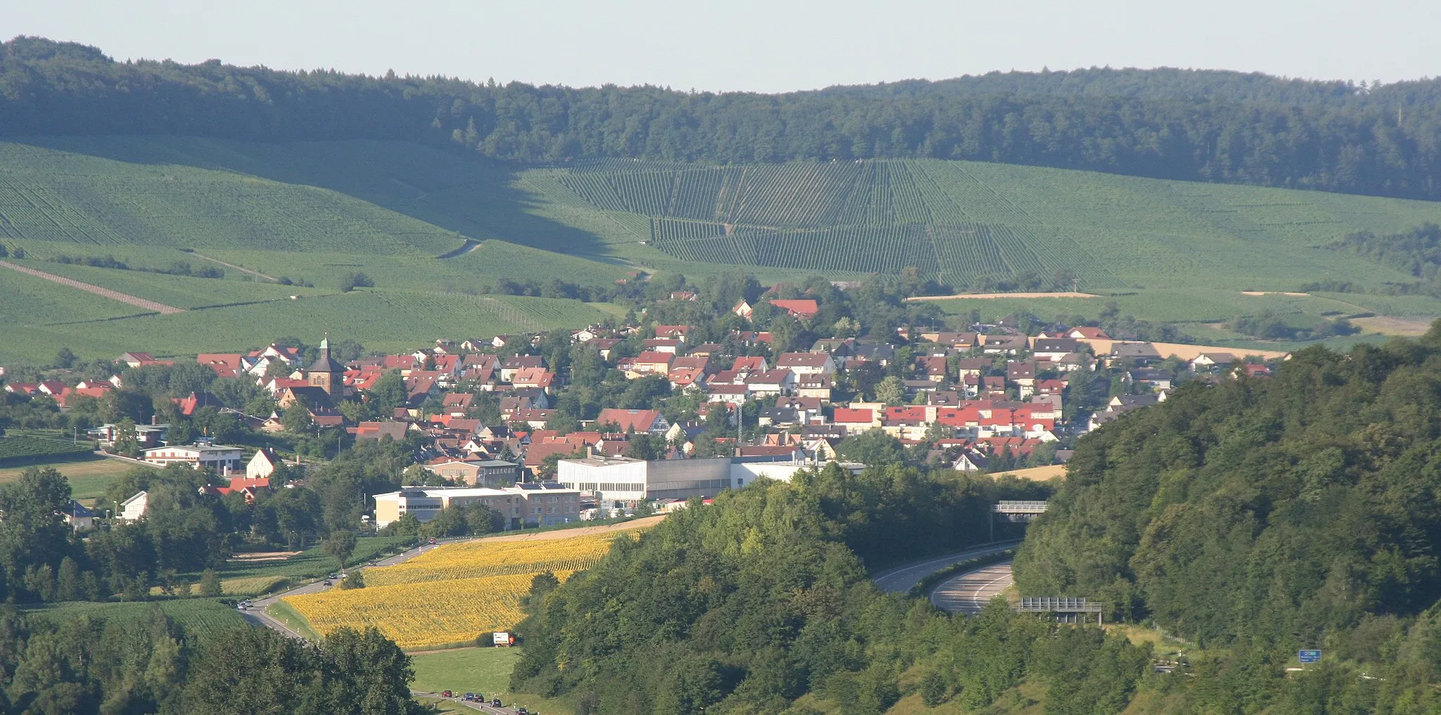
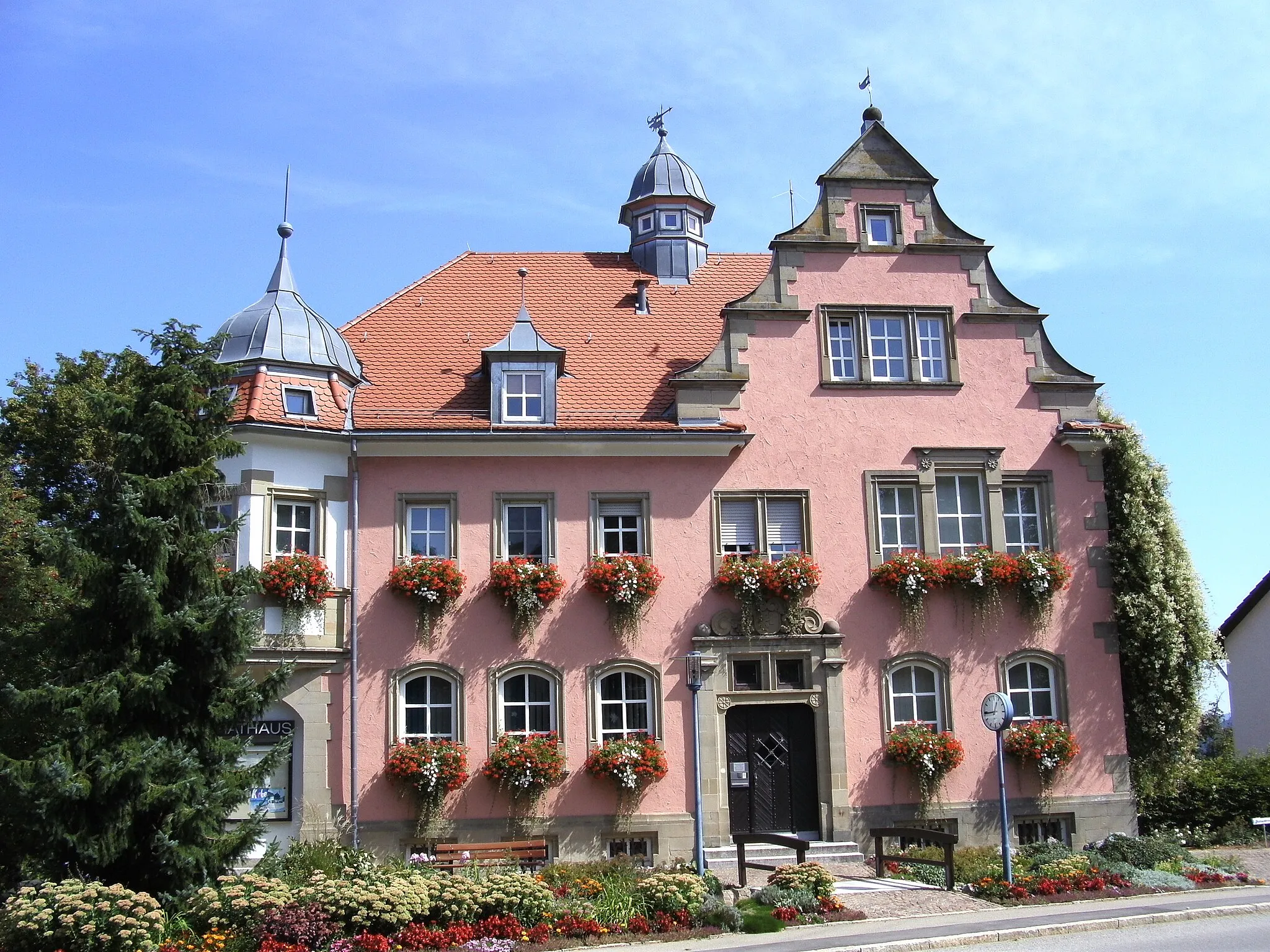
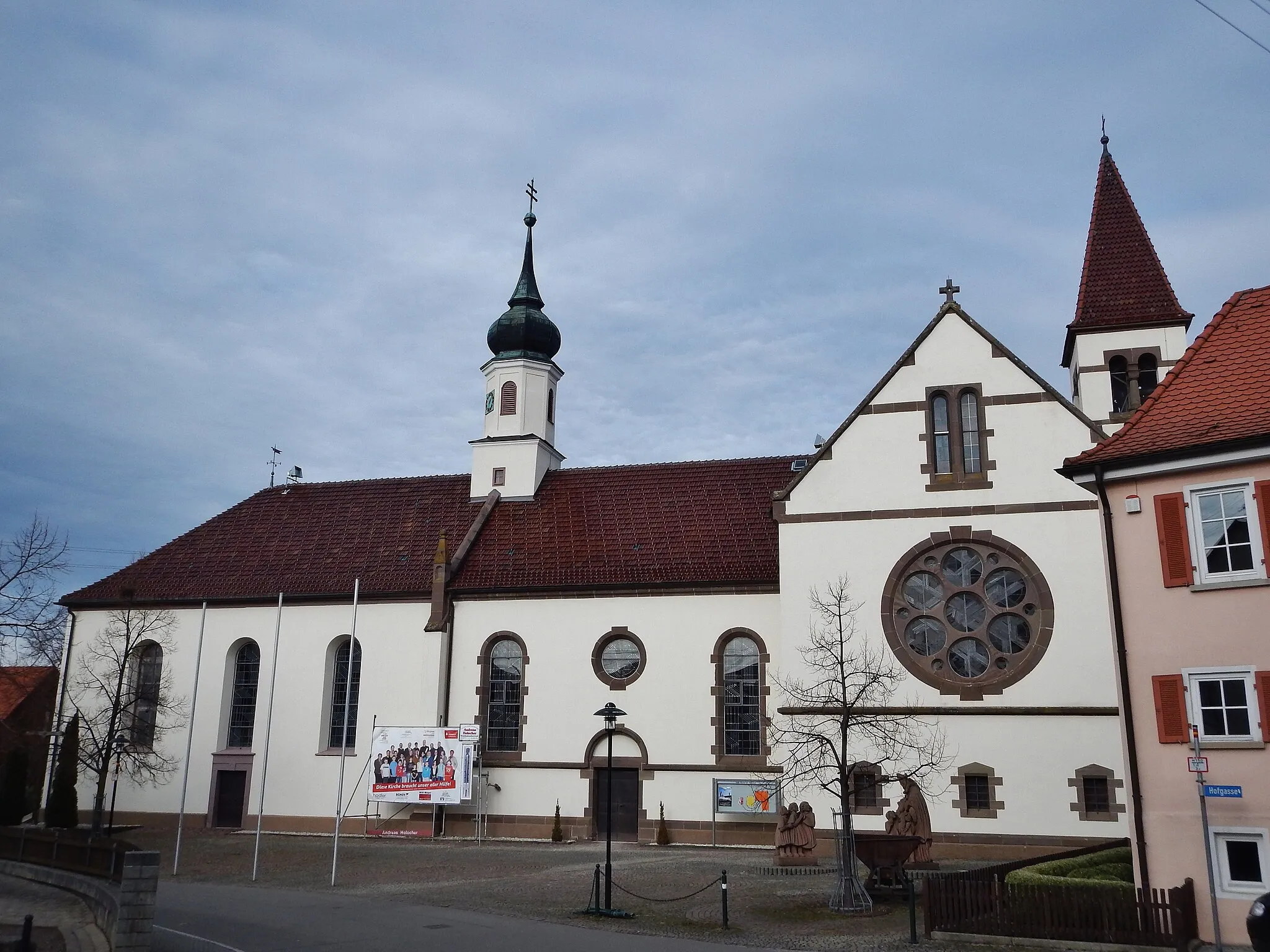
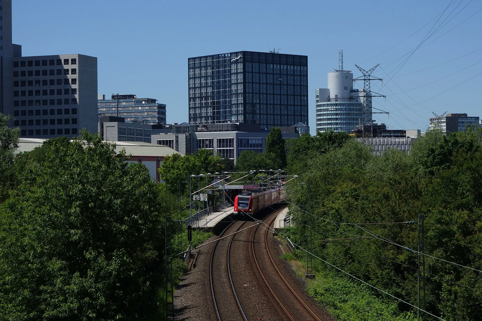
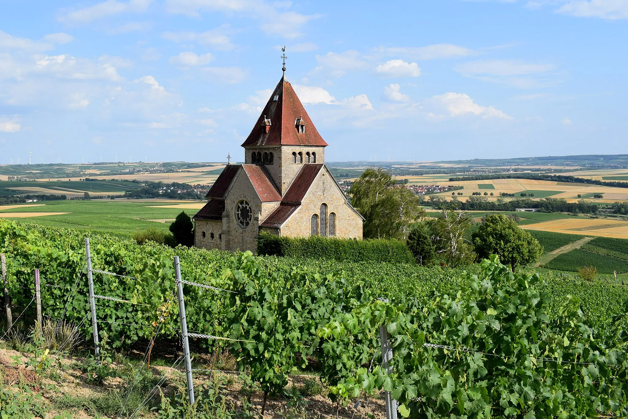
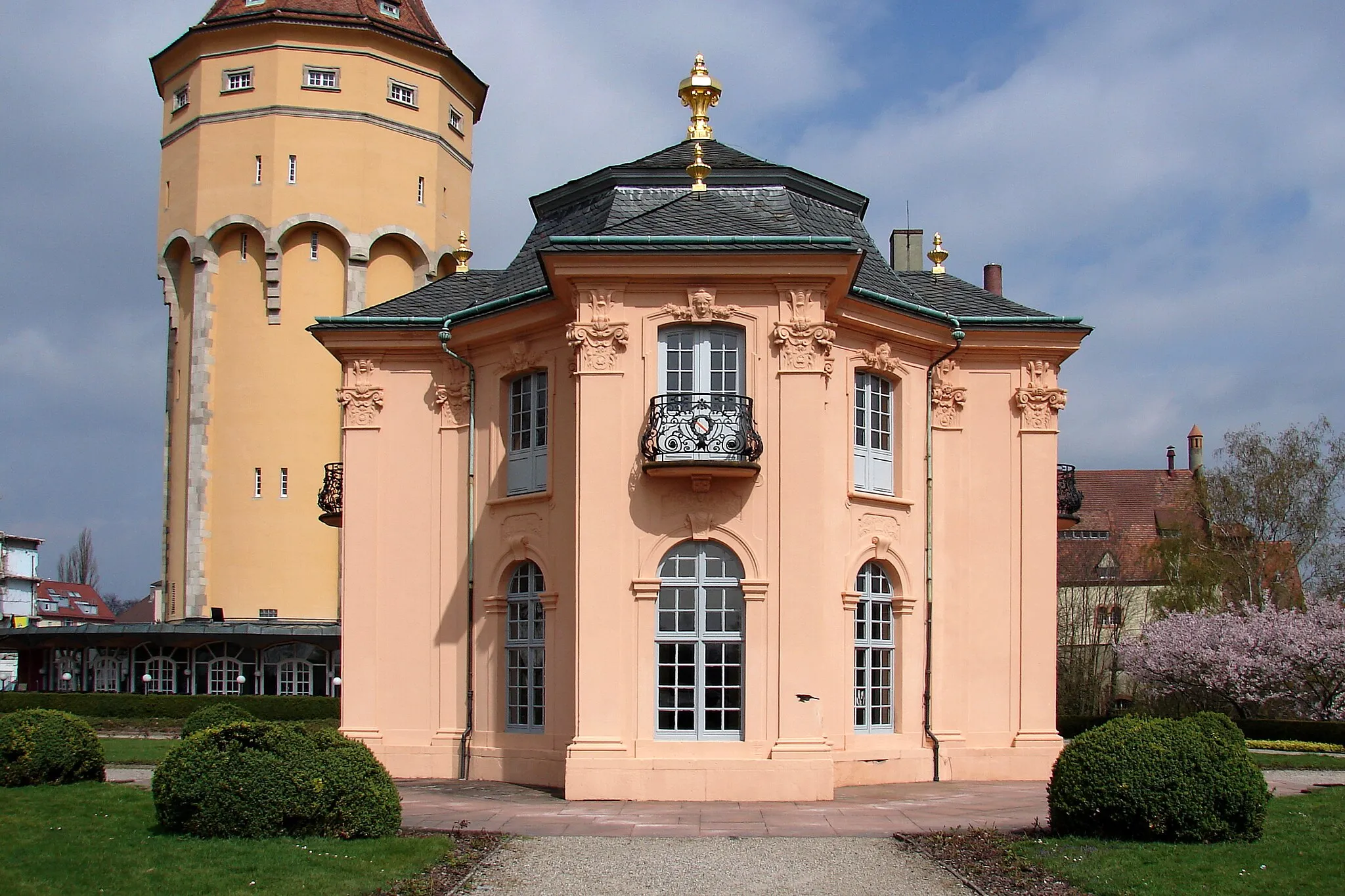
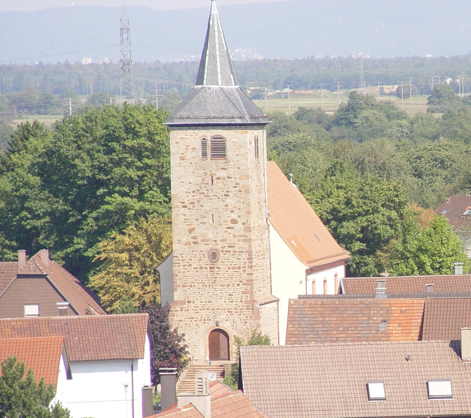
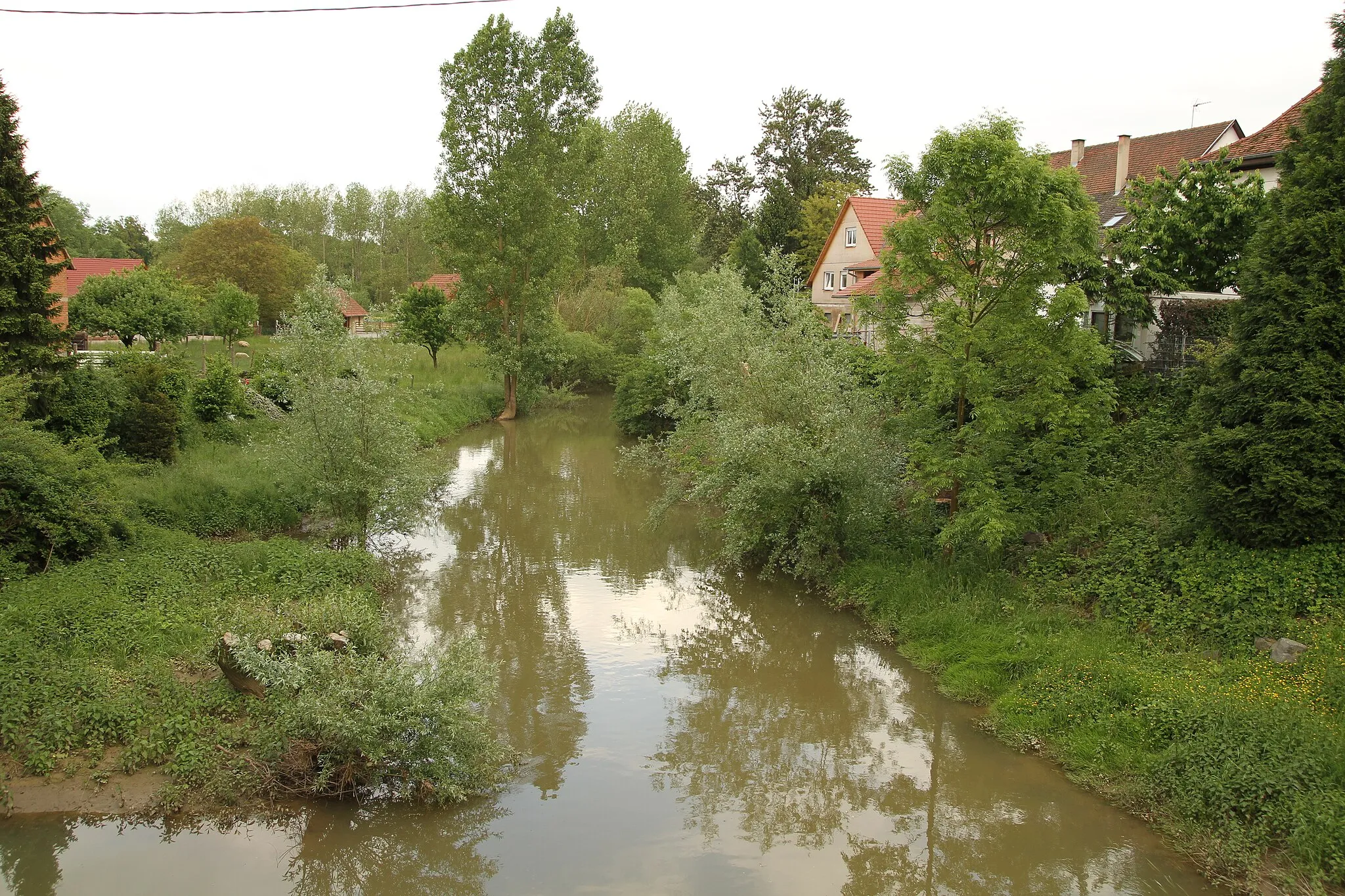
Rastatt is a vibrant town situated in the Karlsruhe region of Germany, offering a diverse range of cycling experiences. From leisurely rides along the Rhine River to challenging climbs in the nearby Black Forest, Rastatt has something for everyone. Road and gravel cyclists will appreciate the well-maintained cycling paths and routes that extend throughout the region. A famous cycling climb in the area is the Merkurberg, which rewards cyclists with breathtaking views from its summit. In addition to its cycling-friendly atmosphere, Rastatt is also rich in history and culture, making it a great destination for tourists.
Conquer challenging mountain climbs and admire breathtaking views
Prepare yourself for an epic road cycling adventure starting near Rastatt. This challenging route takes you to the top of Wulzenkopf and Hohloh, two renowned peaks in the region, offering magnificent vistas of the surrounding landscapes. With a total ascent of 2497 meters, this route is considered a 5 out of 5 in terms of difficulty. The epicness factor is 5 out of 5, as you'll encounter legendary climbs and famous cycling spots throughout the journey.
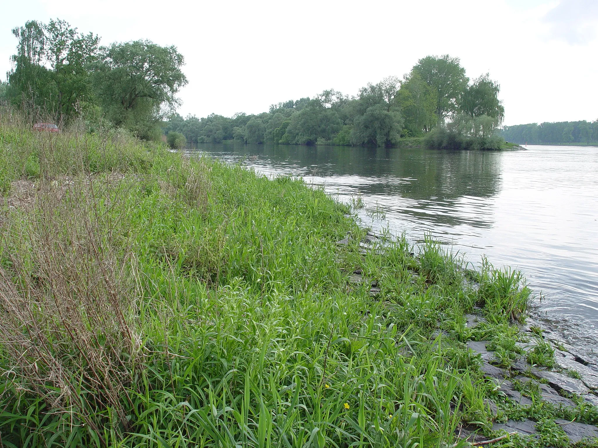
Explore picturesque lakes and enchanting forests on this gravel cycling route.
This gravel cycling route takes you through enchanting forests and leads to picturesque lakes. With a challenging difficulty level, it is ideal for experienced gravel riders who can handle diverse terrain. Covering a distance of 102 kilometers and an ascent of 1785 meters, the route promises a thrilling and scenic adventure through the heart of the Black Forest.
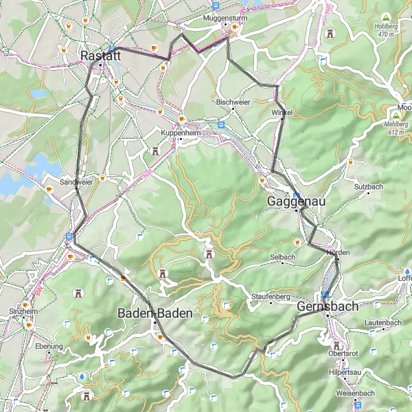
Embark on a thrilling road cycling adventure through the countryside
This road cycling route starts near Rastatt and takes you on an exciting loop through the charming town of Muggensturm. The route includes some challenging hill climbs, offering a great workout for experienced cyclists. With a total ascent of 418 meters, this route is rated as a 4 out of 5 in terms of difficulty. The epicness factor is 3 out of 5, as the route offers scenic views and interesting landmarks along the way.
Experience the thrill of off-road biking through forests and picturesque landscapes
This gravel cycling route starts near Rastatt and takes you through the charming village of Ötigheim, known for its historic open-air theater. As you ride along, you'll reach Mount Klotz, a stunning hill with breathtaking views of the surrounding countryside. The route is relatively challenging with a total ascent of 381 meters, making it suitable for well-trained amateurs. The epicness factor of this route is rated 4 out of 5, mainly due to the scenic highlights along the way.
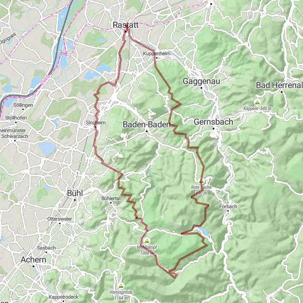
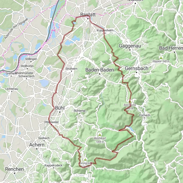
Conquer gravel trails and experience the beauty of Mehliskopf and Kälbelskopf
Get ready for an exciting gravel cycling adventure near Rastatt. This route will take you to the peaks of Mehliskopf and Kälbelskopf, where you can marvel at the stunning views of the surrounding landscapes. With a total ascent of 1686 meters, this route is rated as a 4 out of 5 in terms of difficulty. The epicness factor is 3 out of 5, as you'll encounter breathtaking natural attractions along the way.
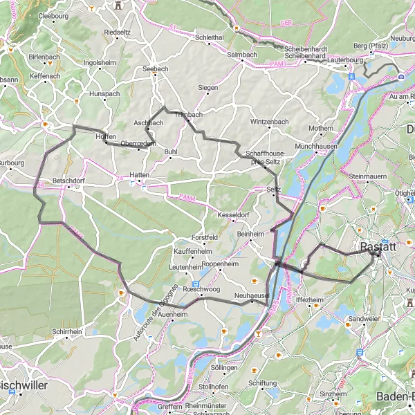
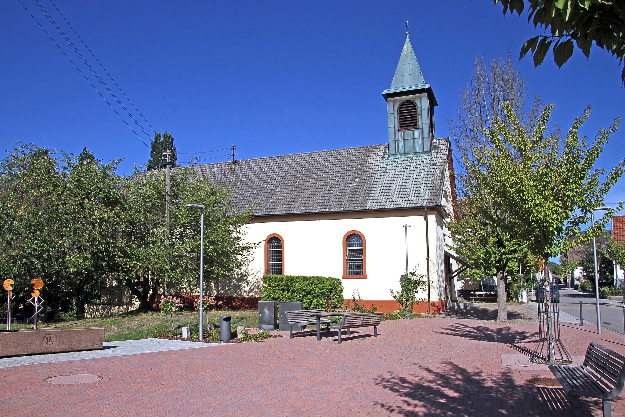
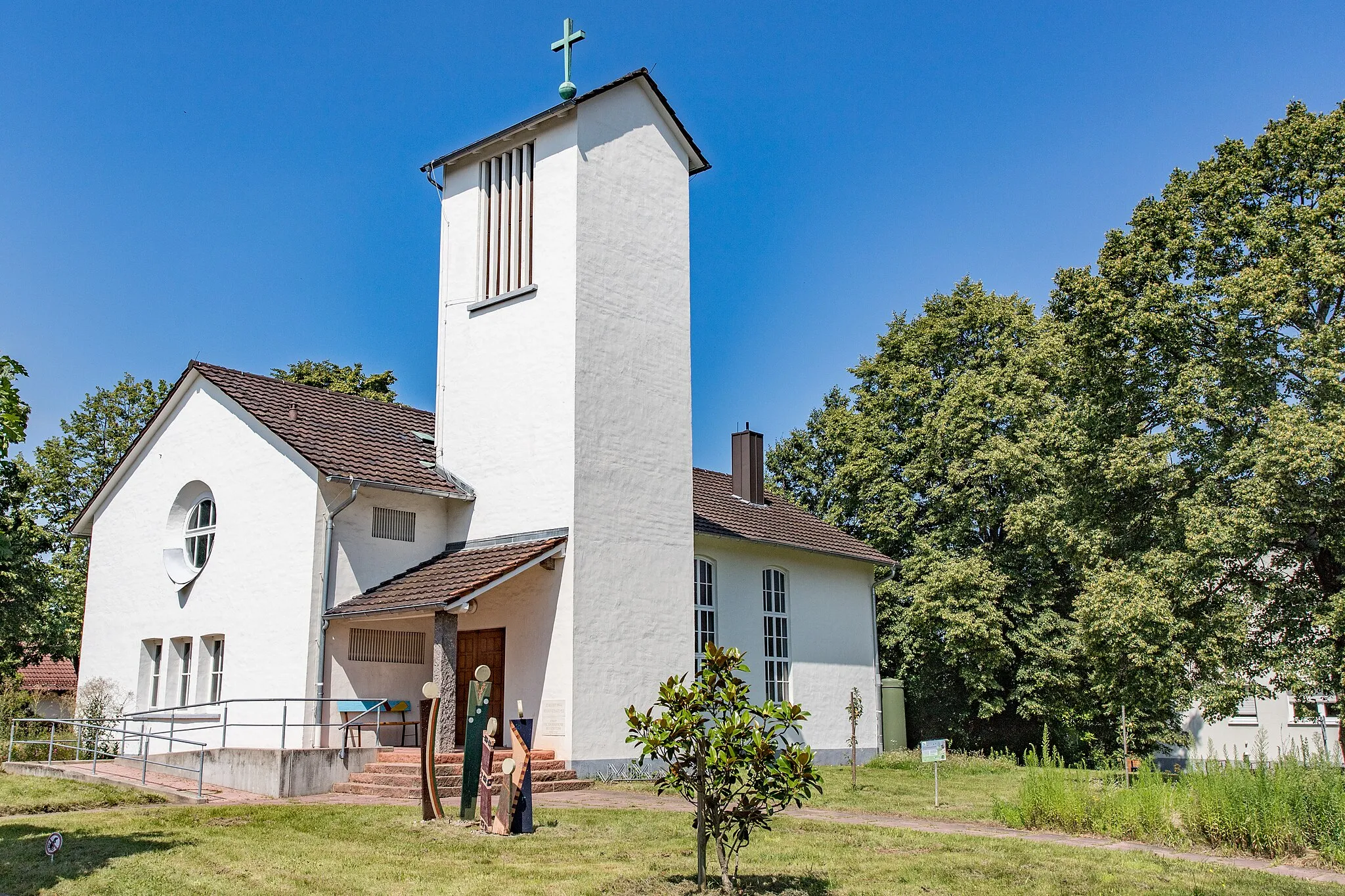
Explore charming villages and visit a historical tumulus mound.
This round-trip cycling route takes you through the scenic countryside around Rastatt. You will pass through several picturesque villages and have the opportunity to visit a unique historical site, the Körnermagazin. The route offers moderate difficulty and is suitable for amateur cyclists with some training. With a total distance of 126 kilometers and an ascent of 676 meters, it provides a challenging yet enjoyable experience.
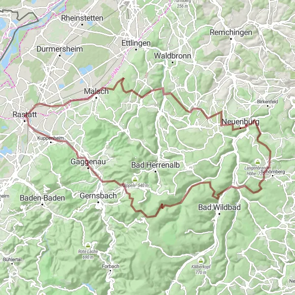
Discover the hidden gem of Aussichtsturm Schwanner Warte on this thrilling gravel adventure
Embark on an exhilarating gravel cycling adventure starting near Rastatt. This route will lead you to Aussichtsturm Schwanner Warte, an impressive observation tower with stunning views of the surrounding area. With a total ascent of 2055 meters, this route is considered a 4 out of 5 in terms of difficulty. The epicness factor is 4 out of 5, as you'll discover hidden gems and picturesque landscapes along the way.
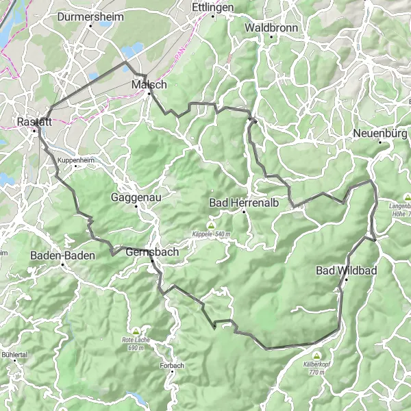
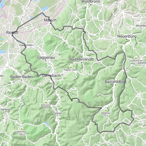
Discover majestic forests and experience breathtaking landscapes on this challenging road cycling route.
This road cycling route promises an unforgettable adventure through beautiful forests and stunning landscapes. With a higher difficulty level, it is designed for well-trained cyclists seeking a challenging ride. Covering a distance of 100 kilometers and an ascent of 2032 meters, the route offers breathtaking views and a rewarding experience for those seeking a thrilling cycling challenge.
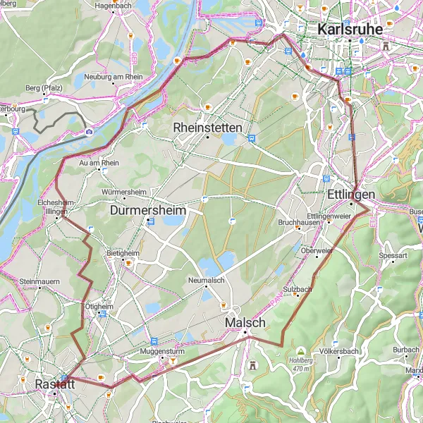
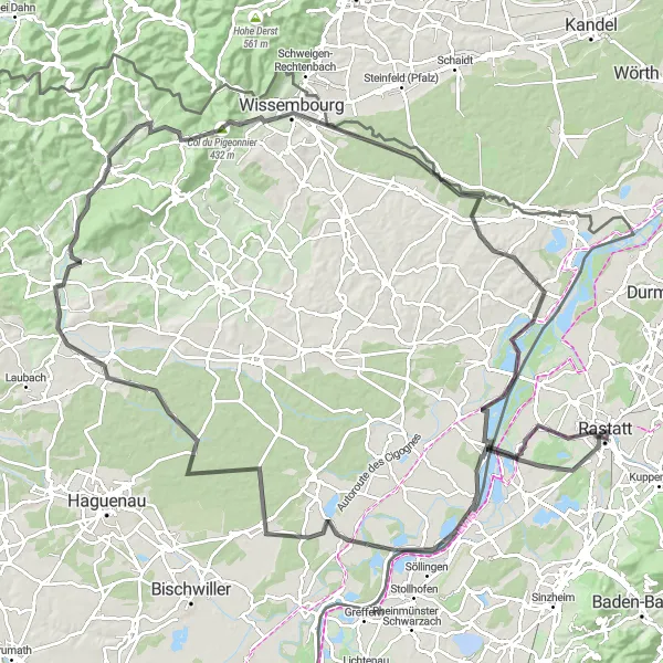
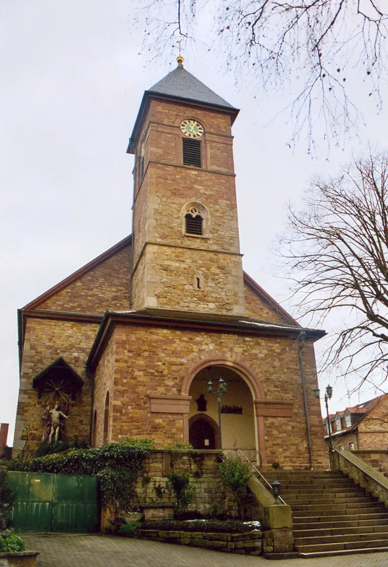
Marvel at breathtaking panoramic views and visit historic landmarks along this cycling route.
This road cycling route offers a combination of stunning panoramic views and interesting historic landmarks. With a moderate difficulty level, it is suitable for amateurs with good fitness levels. Covering a distance of 82 kilometers and an ascent of 347 meters, the route provides a great cycling experience. Explore charming villages and enjoy the scenic beauty of the region as you ride through the countryside.
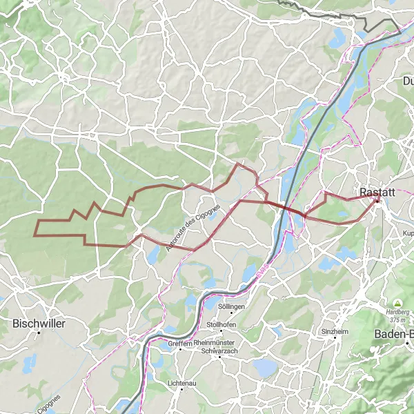
Experience the beauty of nature and explore charming villages on this gravel cycling route.
This gravel cycling route offers a scenic adventure through picturesque landscapes and charming villages. With a relatively easy difficulty level, it is suitable for cyclists with basic off-road skills. Covering a distance of 68 kilometers and an ascent of 129 meters, the route provides a pleasant cycling experience with beautiful nature surroundings.
Cycling routes nearby:

Nearby regions: