Tranquil locality with diverse cycling routes in Koblenz region, Germany.
Cycling routes from Emmelshausen
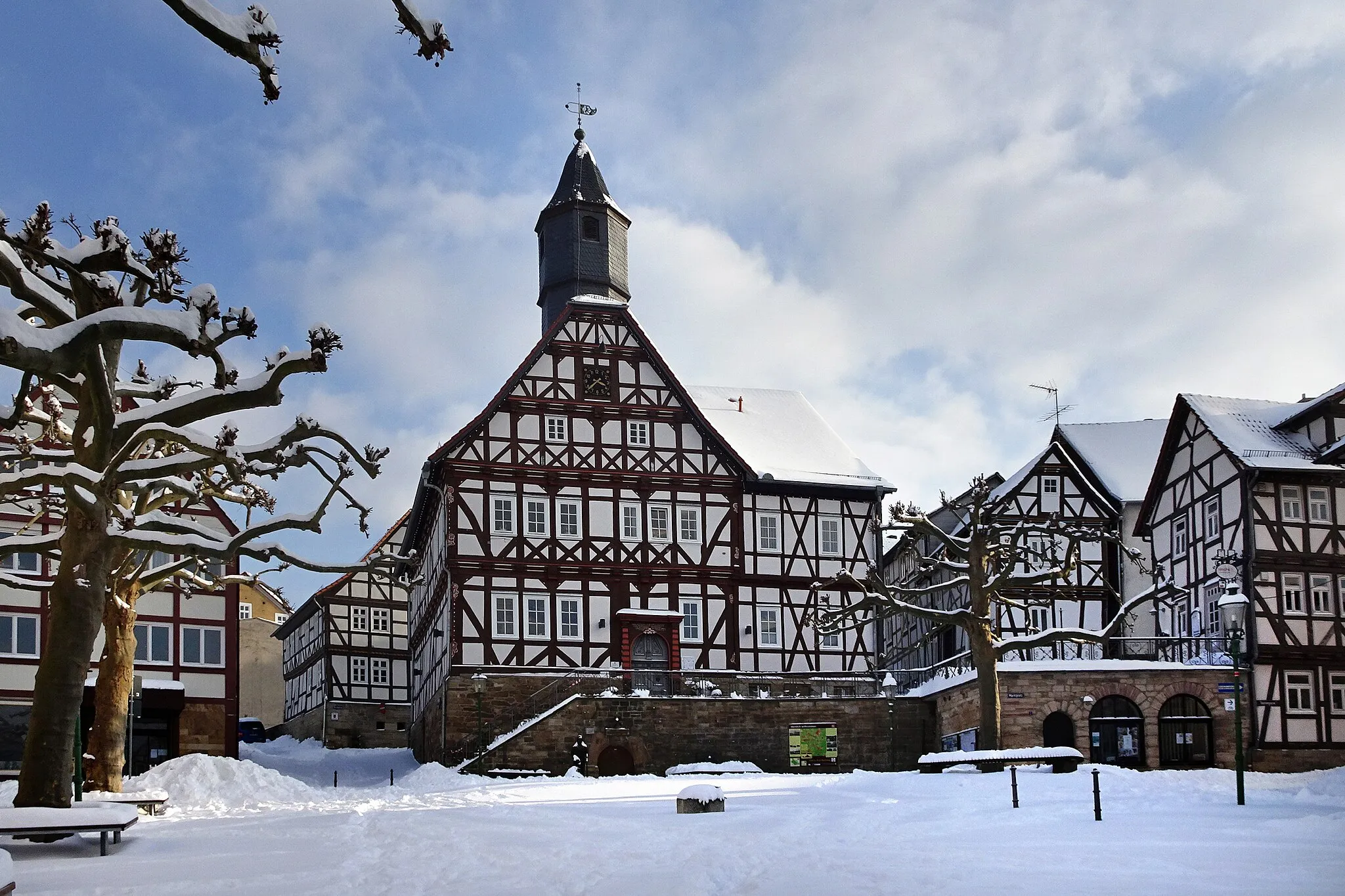
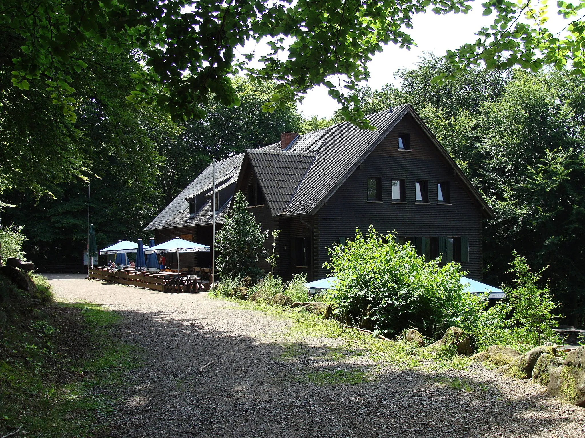
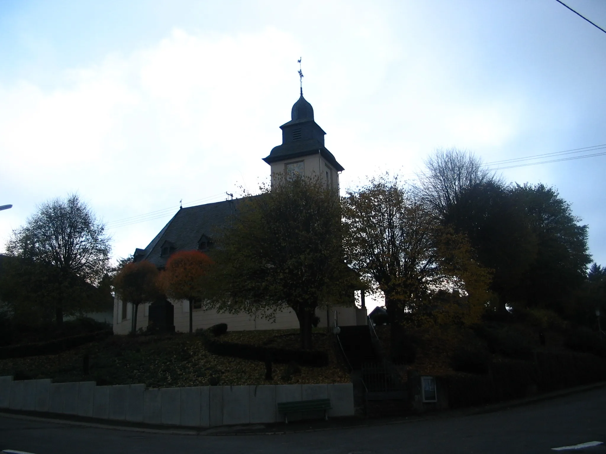
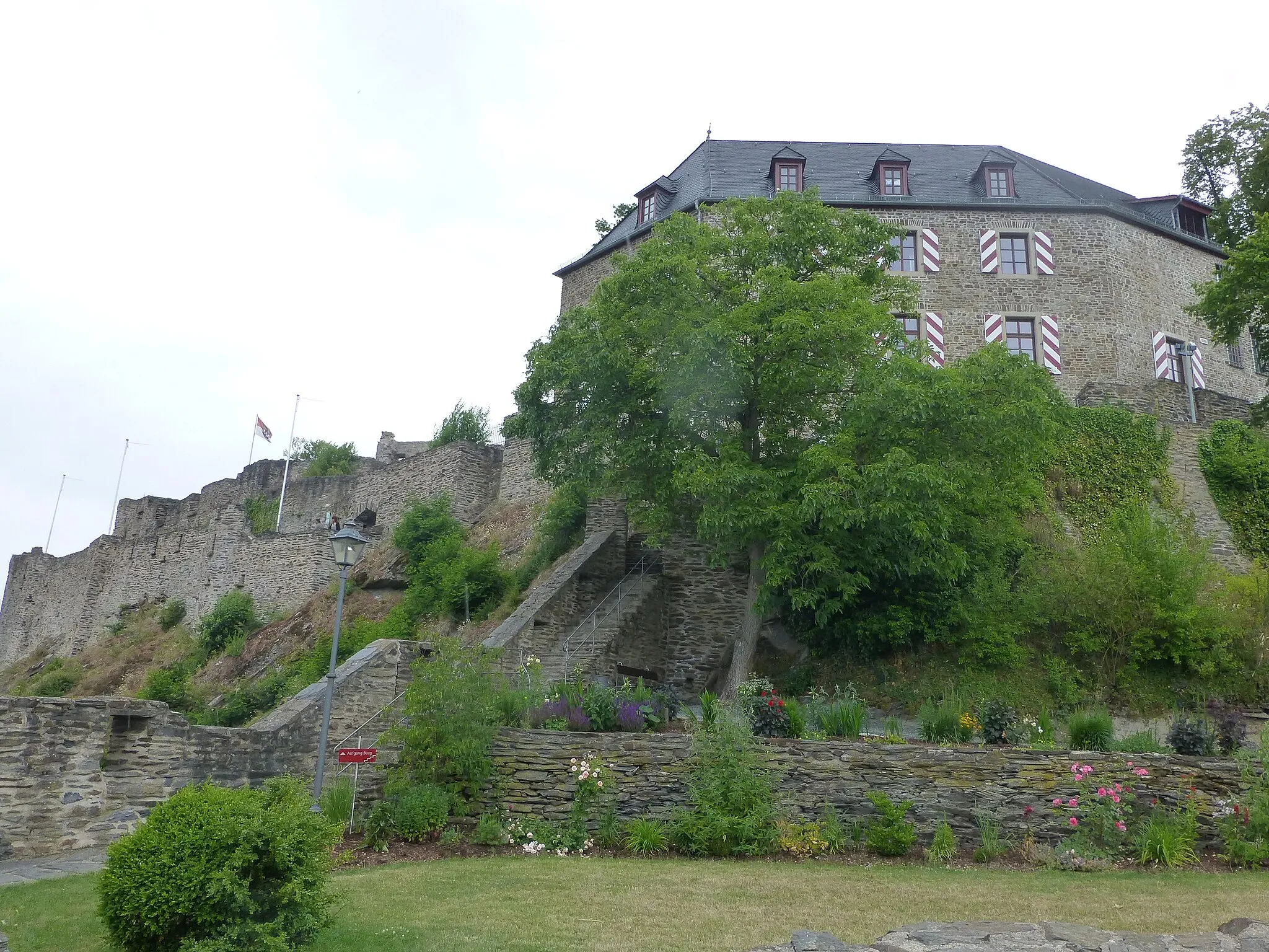
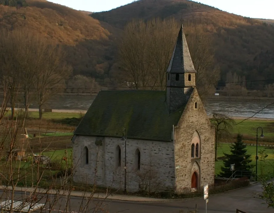
Emmelshausen is a picturesque locality situated in the Koblenz region of Germany. The area offers a wealth of cycling opportunities, from challenging road climbs to peaceful gravel trails. Road cyclists can tackle the scenic routes, which wind through rolling hills and forests, providing breathtaking views along the way. Gravel cyclists can explore the extensive network of gravel paths, enjoying the tranquility of the surrounding nature. Located nearby is the famous Ehrenburg Castle, attracting cyclists who are interested in historical and cultural sites. Emmelshausen is a cycling-friendly destination, catering to both road and gravel cyclists.
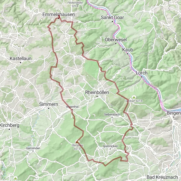
Gravel Madness
A thrilling gravel adventure through the diverse landscapes near Emmelshausen
Explore the countryside around Emmelshausen on this 57-kilometer gravel route that offers a mix of beautiful scenery and challenging terrain. With a total ascent of 890 meters, this ride will test your endurance and skill. The route takes you through charming villages like Wiebelsheim, Mörschbach, Niederkumbd, and Bickenbach, where you can stop and take in the local culture and traditions. Experience the joy of cycling off-road and enjoy the breathtaking views along the way. Suitable for intermediate to advanced cyclists looking for an adventure.
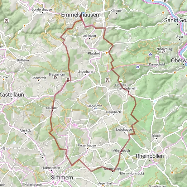
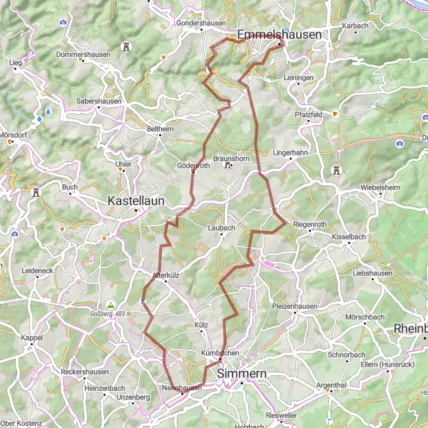
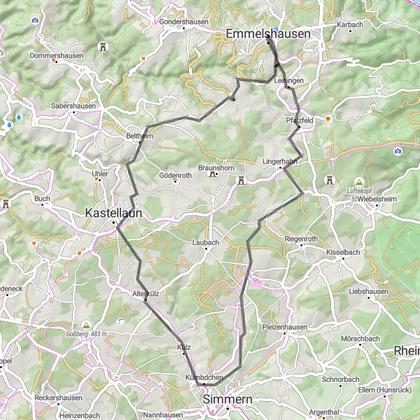
Ride through scenic countryside from Emmelshausen to the charming village of Alterkülz
This road cycling route takes you from Emmelshausen to the picturesque village of Alterkülz. Along the way, you'll enjoy beautiful countryside views and moderate ascents. The total distance of this route is 45 kilometers with a total ascent of 733 meters. The route is suitable for road bikes.
Uncover the natural beauty and tranquility of the Soonwald Forest on this gravel cycling route
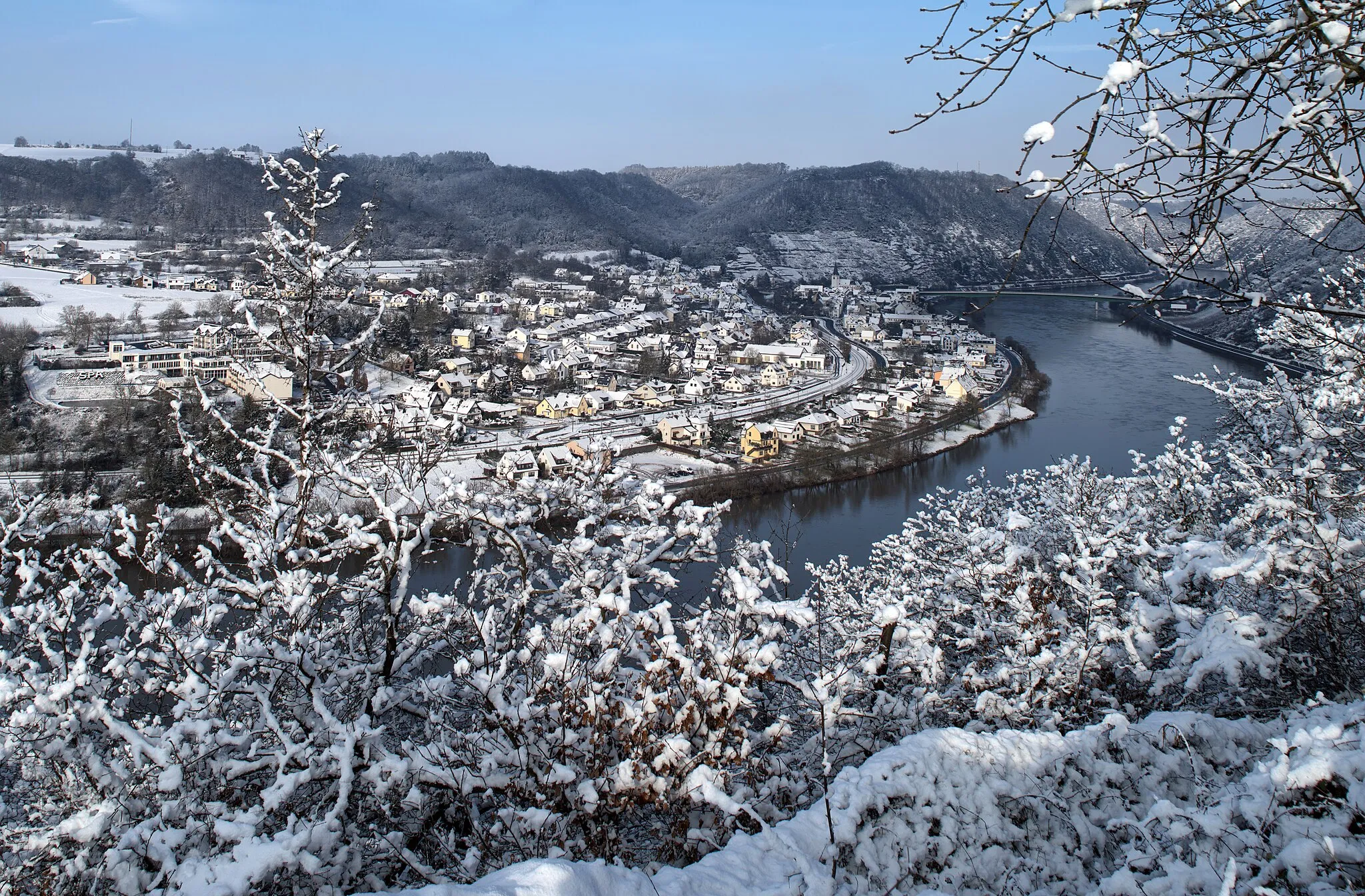
Immerse yourself in the unspoiled beauty of the Soonwald Forest on this 105-kilometer gravel cycling route. With an ascent of 1898 meters, this challenging route takes you through dense forests, rolling meadows, and hidden valleys. Highlights along the way include Wiebelsheim, Ohligsberg, Daxweiler, Gauchsberg, Ellerspring, Altweidelbach, and Bubach. The Soonwald Forest is known for its diverse flora and fauna, making it a haven for nature lovers. The difficulty level of this route is high, suitable for experienced gravel riders with good endurance and technical skills. With an epicness rating of 4, this route promises an unforgettable cycling adventure.
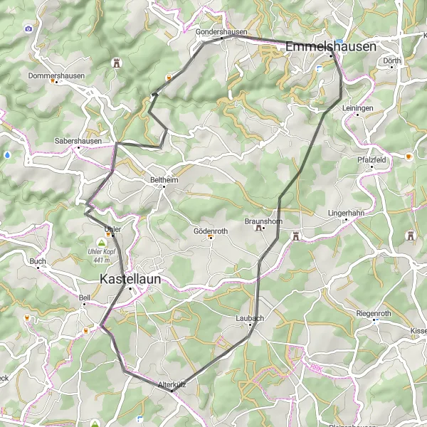
Embark on an adventurous gravel ride through the natural wonders of the Hohenstein Nature Park
Escape into nature with this 54-kilometer gravel cycling route that takes you through the scenic Hohenstein Nature Park. With an ascent of 878 meters, this route offers a mix of challenging climbs and thrilling descents. Highlights along the way include Luftekopf, Mörschbach, Altweidelbach, Laubach, and Bickenbach. The untouched landscapes of the Hohenstein Nature Park provide a tranquil setting for outdoor enthusiasts. The difficulty level of this route is moderate, suitable for riders with some off-road experience and decent fitness. With an epicness rating of 3, this route offers a memorable adventure for gravel riders.
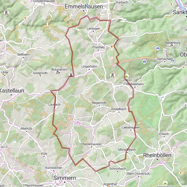
Emmelshausen Gravel Adventure
Embrace the gravel roads and scenic countryside on a thrilling cycling adventure starting from Emmelshausen
This gravel cycling route takes you on an adventurous journey through scenic countryside, starting from Emmelshausen. With a total distance of 61 kilometers and a total ascent of 895 meters, this route is suitable for gravel bikes. Experience the thrill of riding on gravel roads and discover hidden gems along the way.
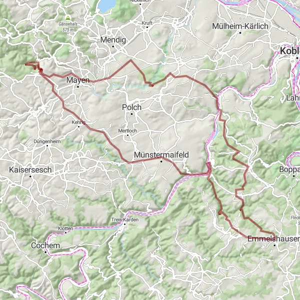
Embark on an epic gravel challenge from Emmelshausen to Münstermaifeld, conquering tough ascents and breathtaking scenery
This challenging gravel cycling route takes you on an ultimate adventure from Emmelshausen to Münstermaifeld. With a distance of 111 kilometers and a total ascent of 2224 meters, this route is recommended for experienced cyclists seeking a true challenge. Along the way, you'll conquer tough ascents, witness stunning panoramic views, and pass through picturesque villages. Experience the thrill of gravel cycling and be rewarded with breathtaking scenery.
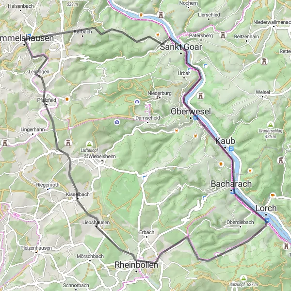
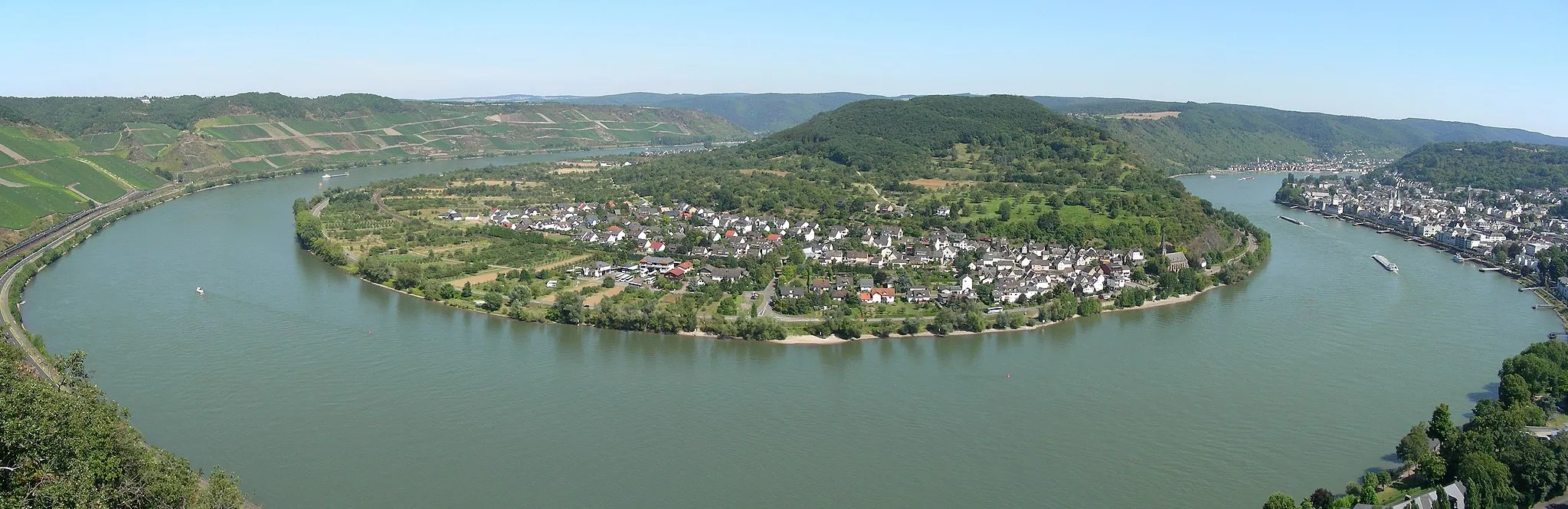
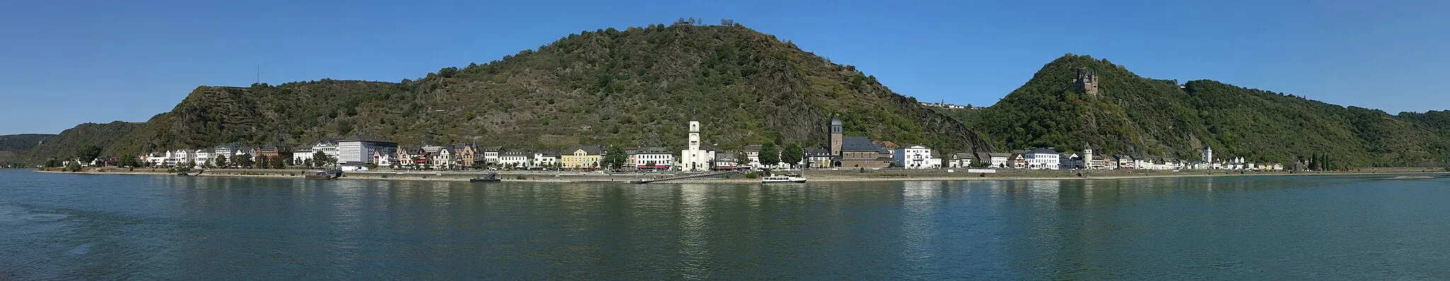
Experience the stunning landscapes and historic towns along the Middle Rhine Valley
Explore the picturesque Middle Rhine Valley on this road cycling route that takes you through charming towns, vineyards, and dramatic river views. The route starts near Emmelshausen and covers a distance of 65 kilometers with an ascent of 1103 meters. With highlights like Horst, Sankt Goarshausen, Bacharach, and Wurschberg, this route offers a mix of natural beauty and cultural landmarks. The difficulty of this route is moderate, suitable for moderately trained cyclists.
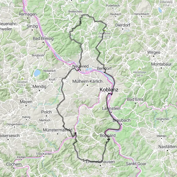
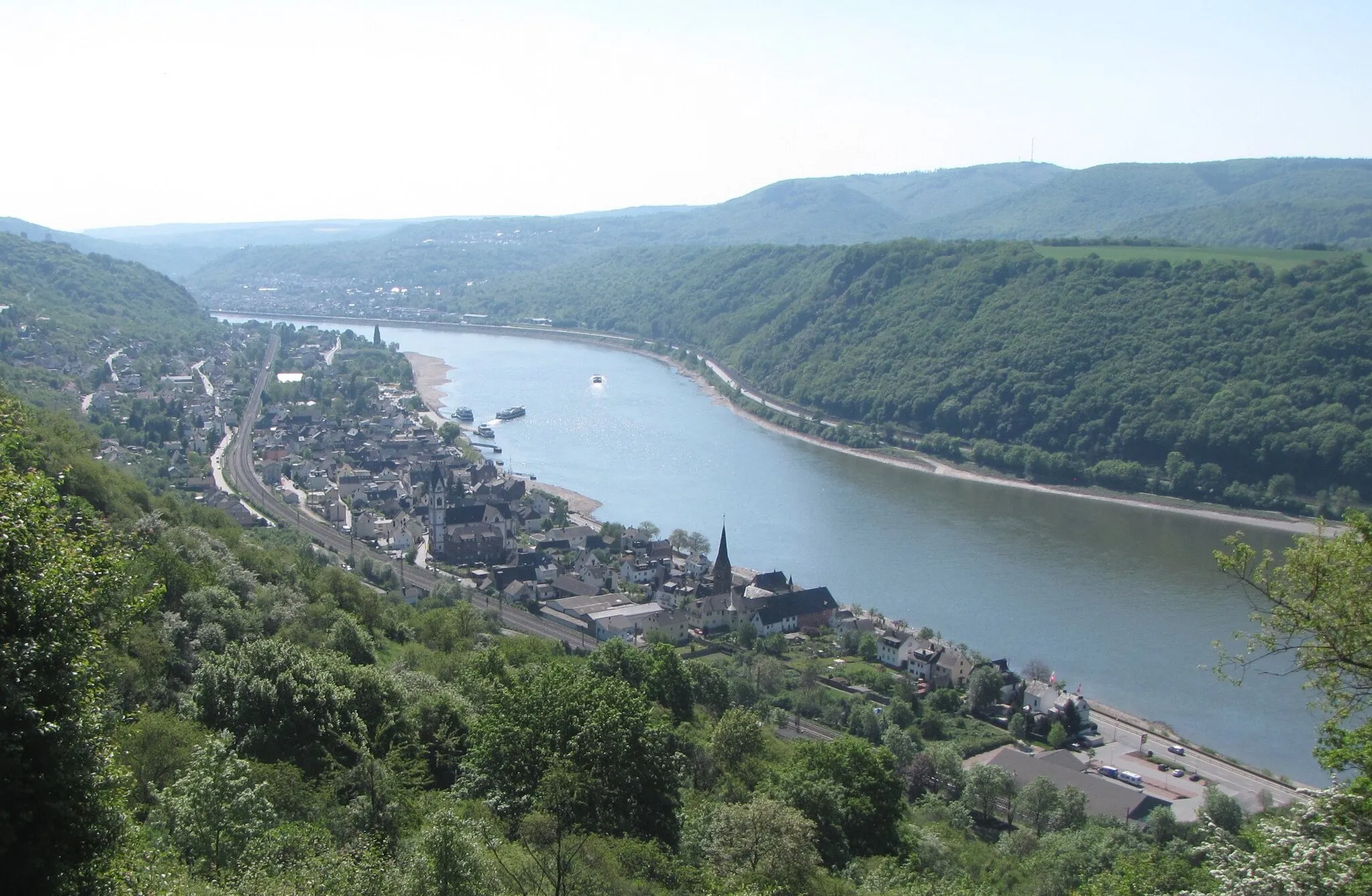
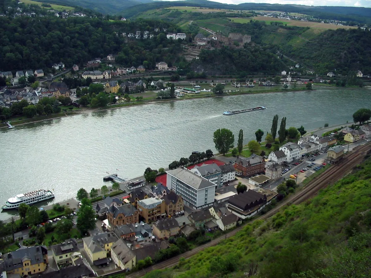
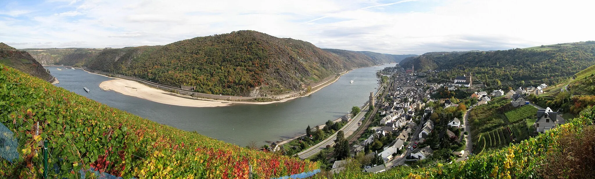
Embark on a 152-kilometer road cycling adventure with breathtaking climbs near Emmelshausen
This challenging 152-kilometer road cycling route is perfect for experienced cyclists seeking an epic challenge. With a total ascent of 1942 meters, this ride will push your limits and reward you with stunning panoramic views. From Brodenbach to Emmelshausen, the route takes you through diverse landscapes and historical landmarks. Enjoy the thrill of conquering famous climbs like Michelberg, Clausberg, and Dernbacher Kopf. Marvel at the majestic Deutsches Eck and savor the natural beauty of Boppard. Suitable for experienced cyclists looking for a legendary journey.
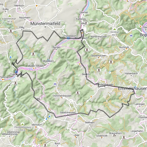
Experience the beauty of the Mosel River Valley on a challenging road cycling route from Emmelshausen to Lieg
This road cycling route takes you from Emmelshausen to the charming village of Lieg, located in the Mosel River Valley. The route offers stunning views of vineyards, picturesque villages, and the Mosel River. With a total distance of 76 kilometers and a total ascent of 1302 meters, this route is recommended for experienced cyclists. It is suitable for road bikes.
Discover the charming countryside and picturesque villages on a road cycling route from Emmelshausen to Maisborn
This road cycling route takes you from Emmelshausen to the picturesque village of Maisborn. Enjoy the beauty of the countryside, pass through charming villages, and witness breathtaking views along the way. The total distance of this route is 54 kilometers with a total ascent of 759 meters. It is suitable for road bikes.
Cycling routes nearby:
Nearby regions: