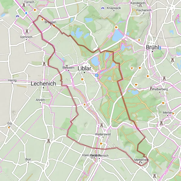
Exploring Türnich by Bike
Cycling routes from Tuernich
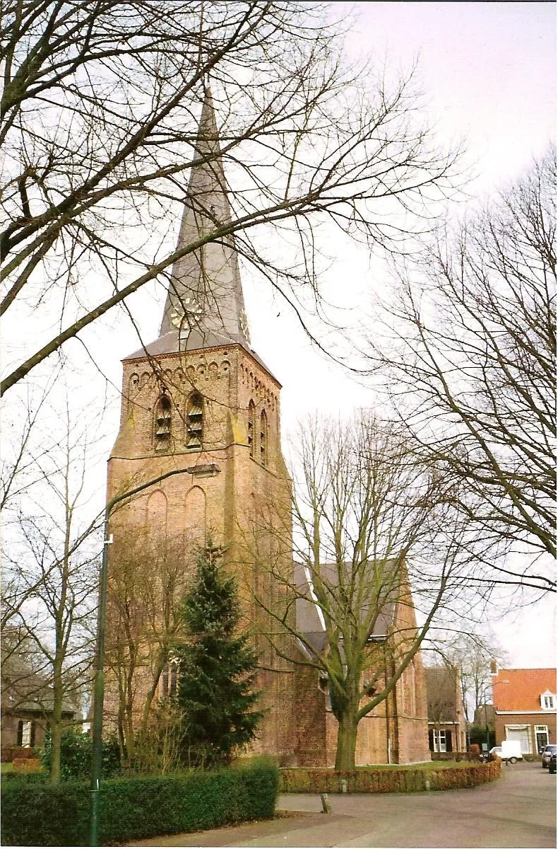
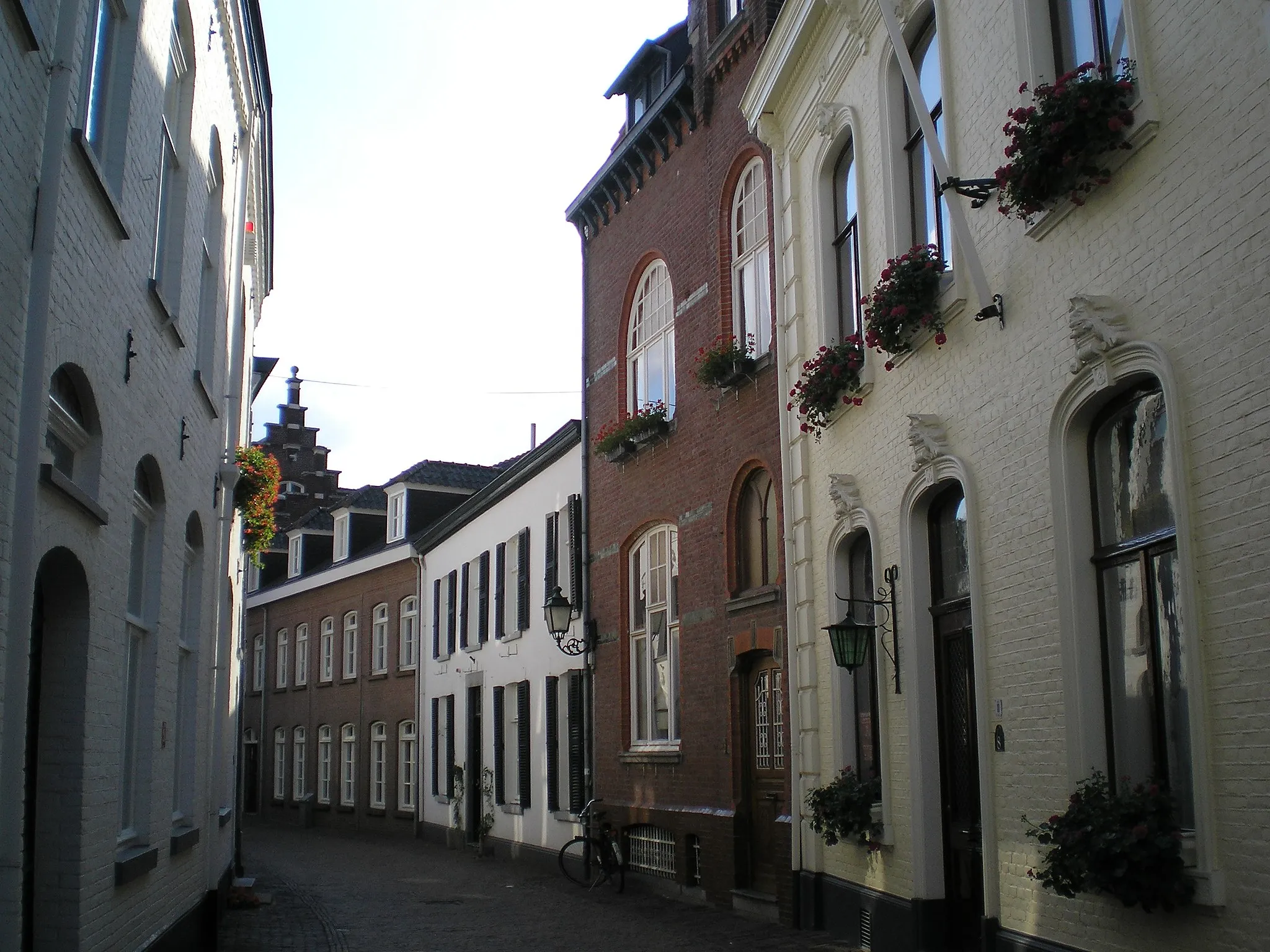
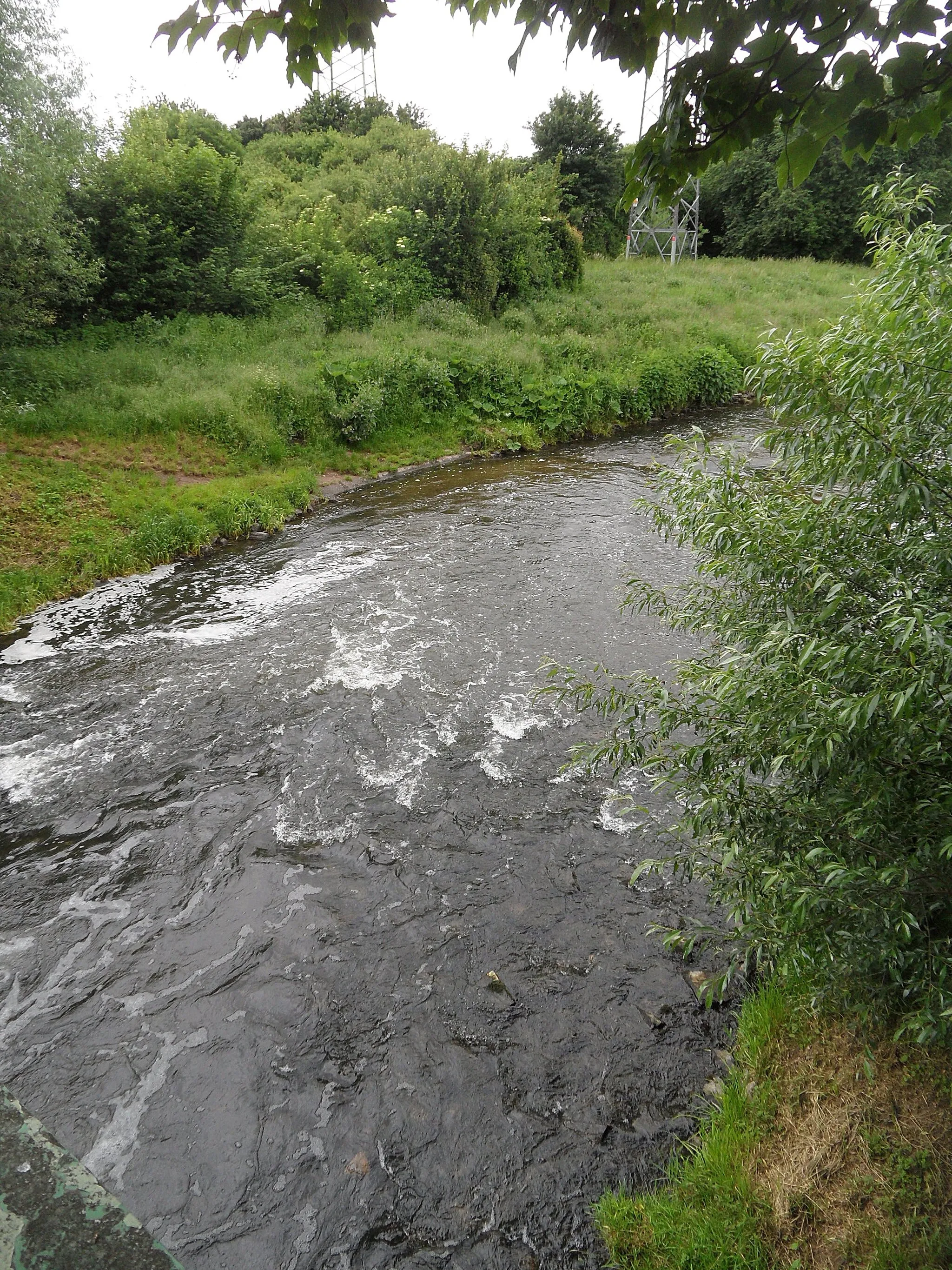
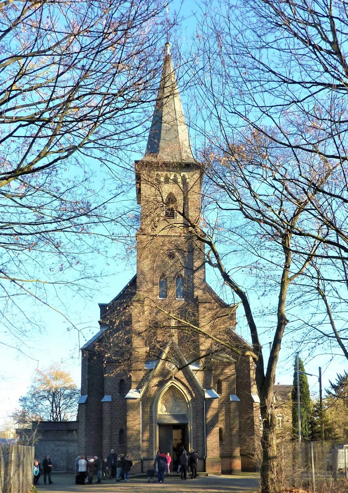
Türnich, located in Köln, Germany, is a locality that caters well to both road and gravel cyclists. It offers a variety of cycling routes, from flat stretches to challenging climbs in the nearby Eifel region. Cyclists can also enjoy the scenic beauty of Türnich, with its picturesque countryside and charming villages. Overall, Türnich ranks 3 as a suitable locality for road and gravel cycling.
Kerpen Adventure
Embark on an exciting road cycling journey through Kerpen and beyond
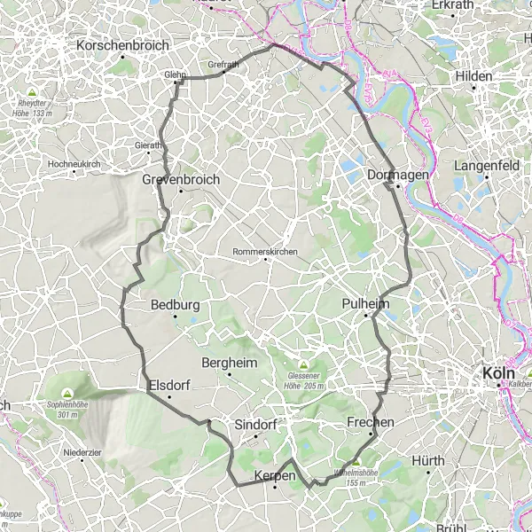
Prepare for a remarkable road cycling adventure with the Kerpen route near Türnich. This challenging route spans a distance of 114km and offers an exhilarating ascent. Rated as a difficulty level 4 out of 5, the route promises a thrilling and demanding cycling experience. With an epicness score of 4 out of 5, this route takes you through some of the most beautiful landscapes in the region. Kerpen and its surroundings are rich in history and culture, making it an attractive destination for both cyclists and history enthusiasts. Explore the highlights along the way for an even more fulfilling journey.
Rural Charm
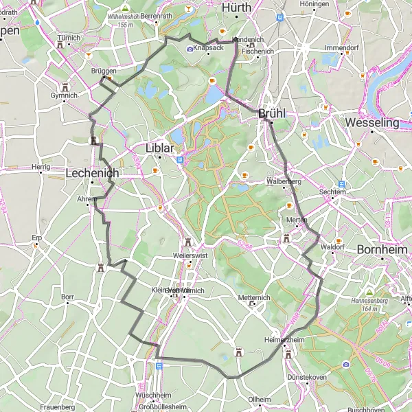
Experience the rural charm on this road cycling route near Türnich
Escape to the tranquility of the countryside with the Rural Charm road cycling route near Türnich. This idyllic route covers a distance of 62km and captures the essence of the region's rural beauty. With an ascent rating of 3 out of 5, it offers a moderate challenge suitable for well-trained amateur cyclists. Immerse yourself in a peaceful atmosphere as you pedal through picturesque landscapes and discover hidden gems along the way. The route boasts an epicness score of 3 out of 5, promising memorable moments amidst nature's embrace. Be sure to make time for the highlights, which add an extra touch of allure to this scenic journey.
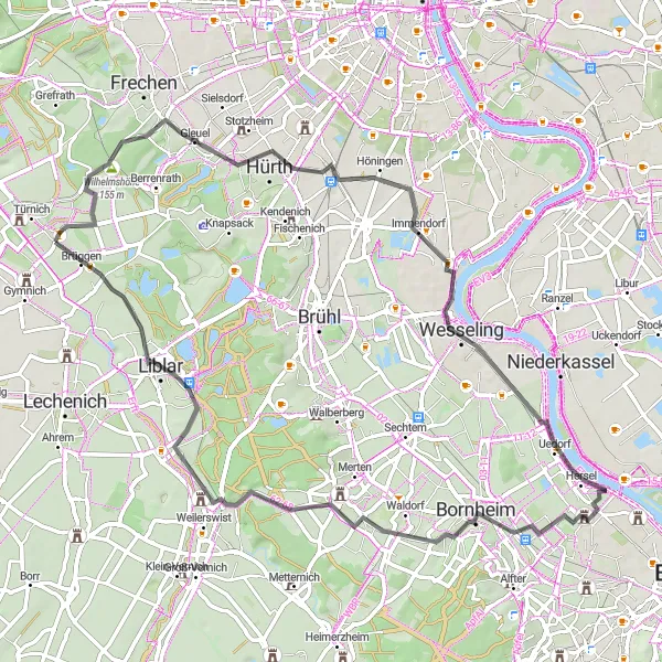
Discover the stunning Wilhelmshöhe on this road cycling route near Türnich
This road cycling route near Türnich takes you through a scenic journey, with the highlight being the majestic Wilhelmshöhe. The route offers a challenging ascent and covers a distance of 67km. It is suitable for well-trained amateur cyclists looking for a thrilling ride through picturesque landscapes. The route is rated 4 out of 5 for its difficulty level and boasts an epicness score of 4 out of 5. Stop by the highlights along the way to take in the breathtaking views and immerse yourself in the rich history of the region.
Discover the scenic beauty on this road cycling route from Türnich to Mödrath.
Experience the beauty of nature on this road cycling route from Türnich to Mödrath. The route offers an exciting mix of landscapes with an ascent of 280m and a distance of 85km. Take in the breathtaking views from the Eifel-Blicke lookout points and explore the charming village of Mödrath.
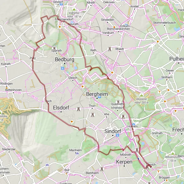
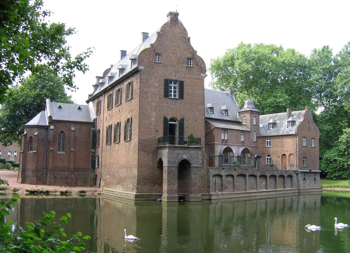
Embark on an exciting gravel adventure from Türnich to Oberaußem.
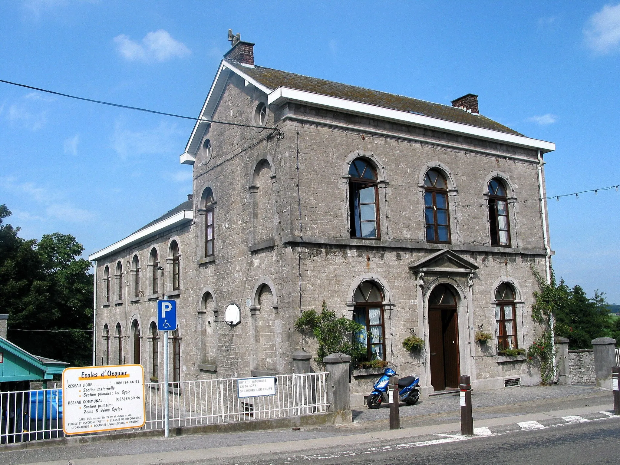
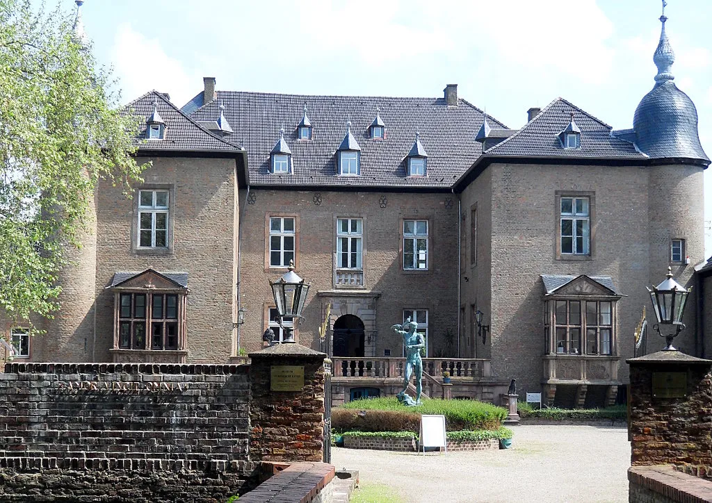
Embark on an exciting gravel adventure from Türnich to Oberaußem. This route offers a diverse range of terrain with an ascent of 280m and a distance of 71km. Explore the historical landmarks along the way, including the impressive Schloss Türnich and the Forum :terra nova.
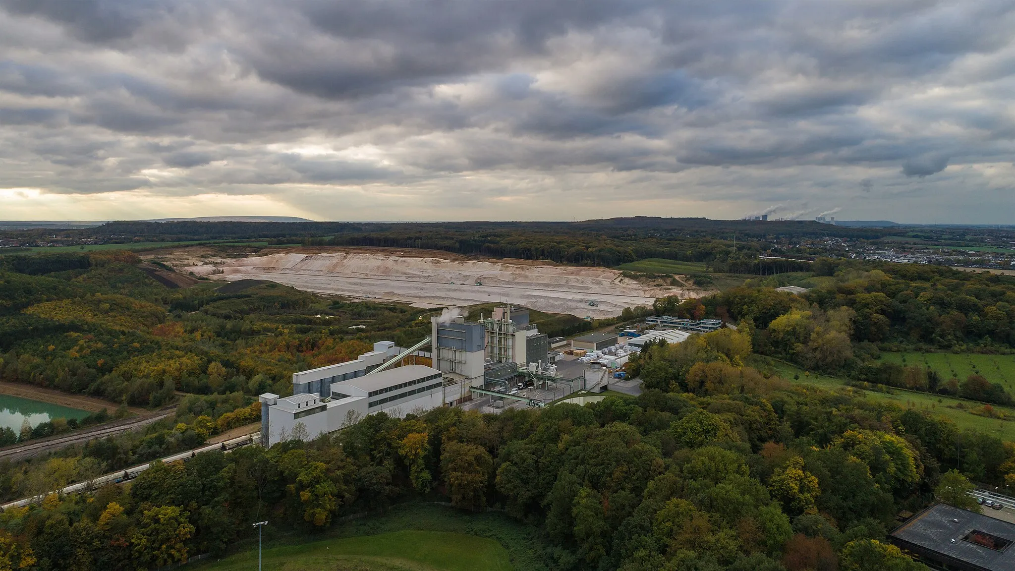
Embark on a challenging gravel journey from Türnich to Horrem.
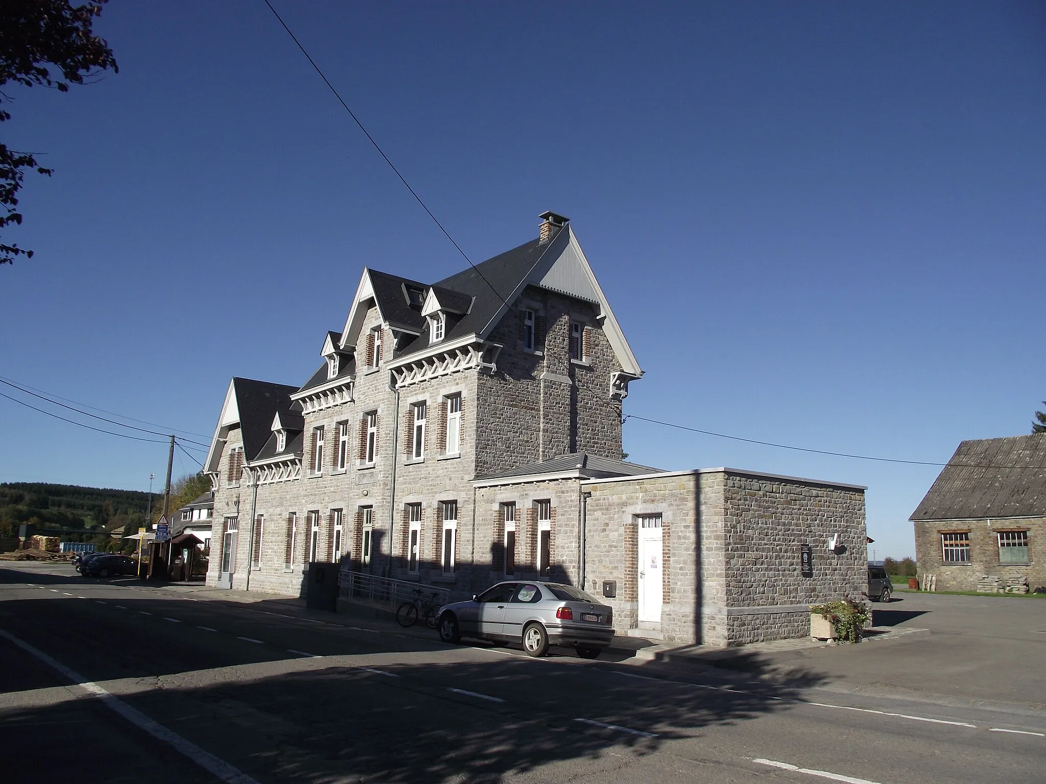
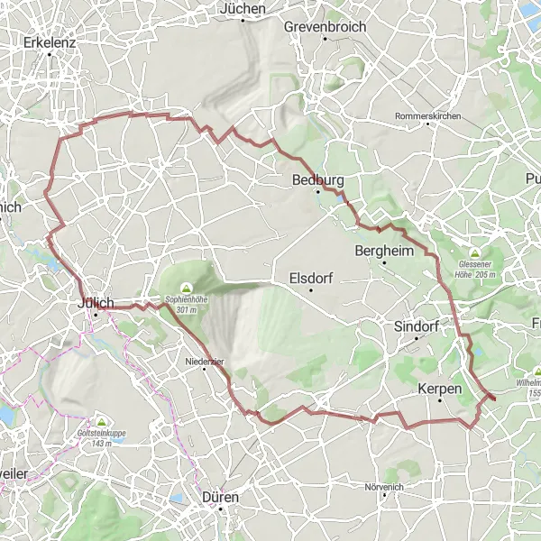
Step up the adventure with this challenging gravel cycling route from Türnich to Horrem. With an ascent of 510m and a distance of 100km, this route is ideal for experienced gravel cyclists. Discover the historical landmarks of Jülich and enjoy the scenic beauty along the way.
Gravel Adventure
Embark on a gravel cycling adventure through nature near Türnich
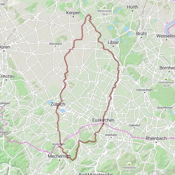
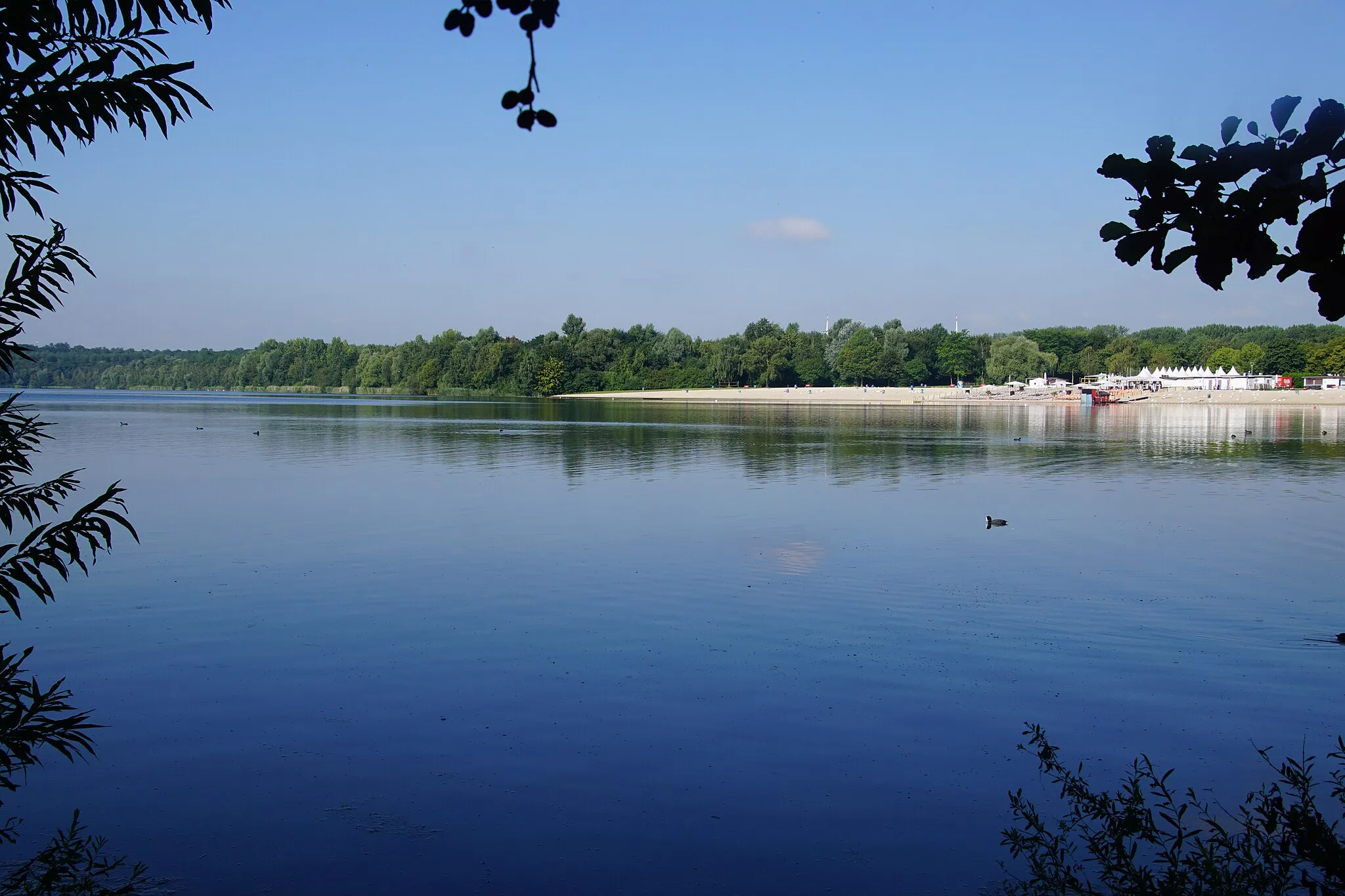
Discover the thrill of gravel cycling on the Gravel Adventure route near Türnich. Spanning a distance of 87km, this route takes you on a journey through picturesque landscapes and challenging terrains. With an ascent rating of 5 out of 5 and an epicness score of 4 out of 5, this route is sure to leave a lasting impression on even the most seasoned cyclists. Immerse yourself in the beauty of nature as you conquer thrilling gravel tracks and enjoy panoramic views at various vantage points. Take a moment to appreciate the highlights along the way, which enhance the overall experience of this adventure.
Türnich Gravel Adventure
Embark on an exciting gravel cycling adventure starting from Türnich.
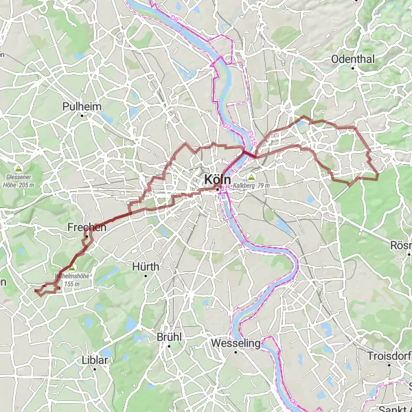
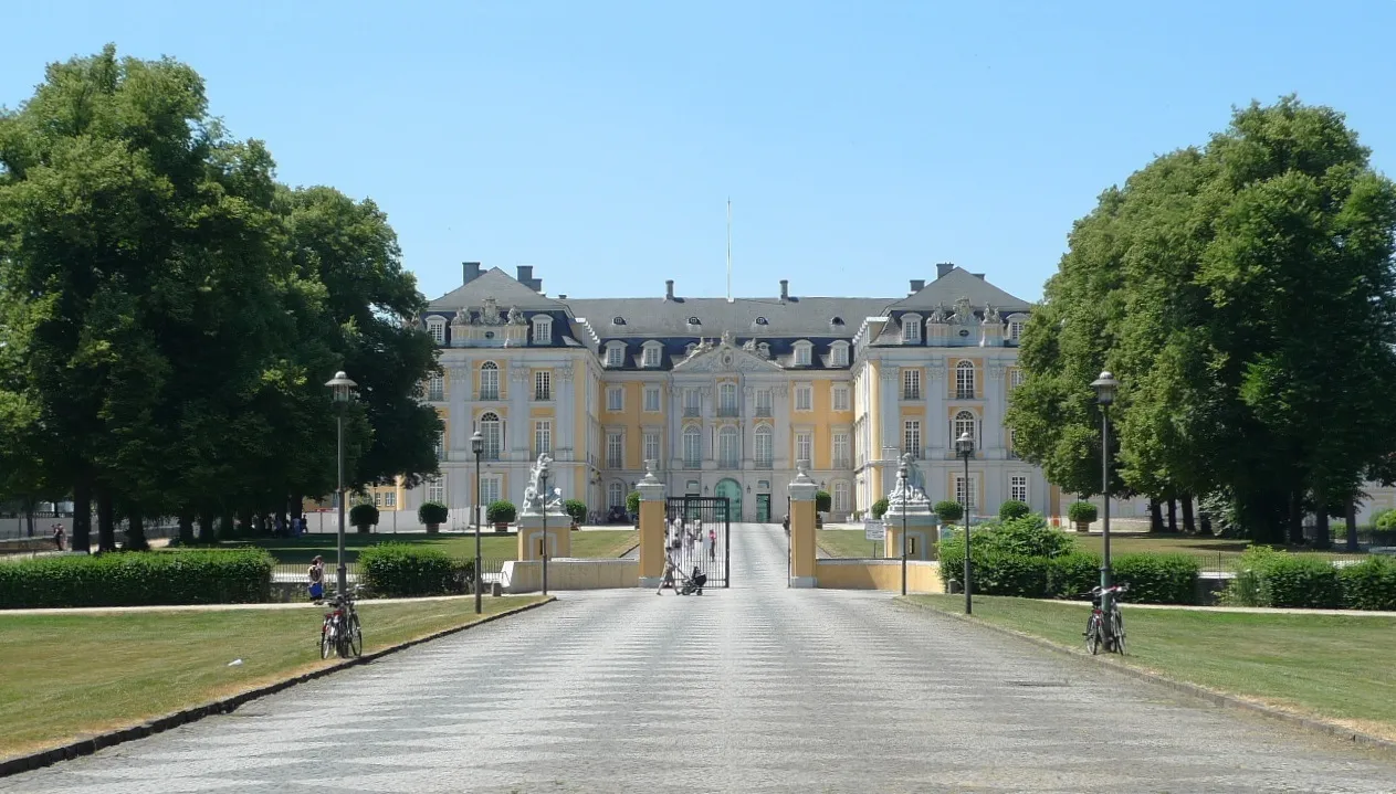
Experience the thrill of gravel cycling with this adventurous route starting from Türnich. The route offers a moderate level of difficulty with an ascent of 340m and a distance of 85km. Take in the iconic Hohenzollernbrücke bridge in Cologne and enjoy the stunning scenery along the way. Don't miss the Förster-Schreibweis-Kanzel lookout point for breathtaking views.
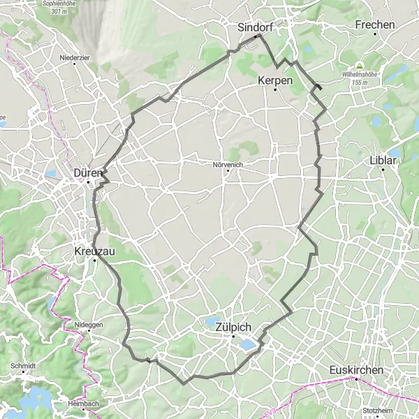
Cycle through the scenic landscapes from Türnich to Nörvenich.
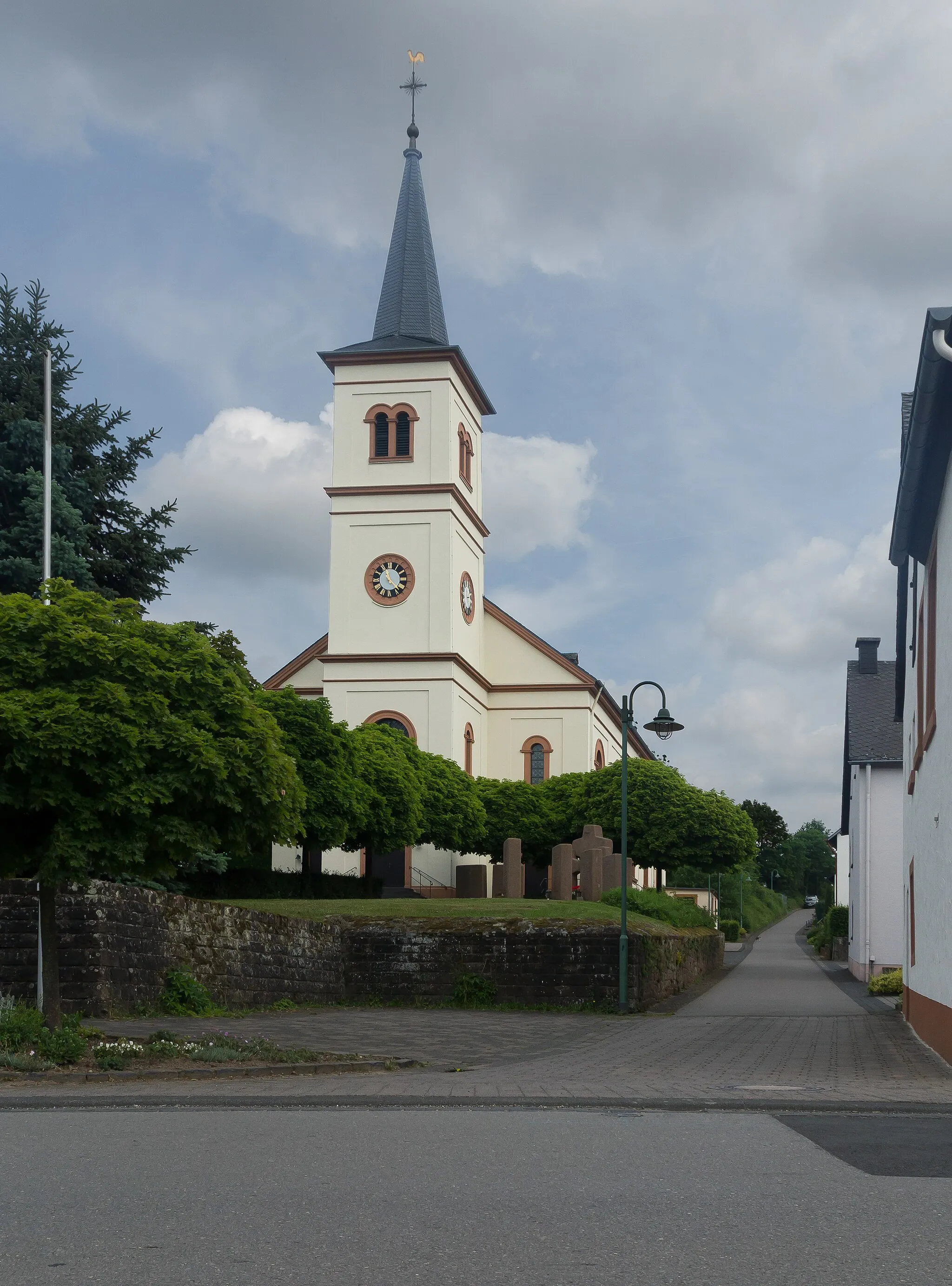
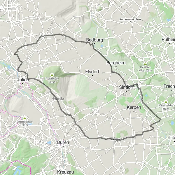
This road cycling route takes you through picturesque landscapes from Türnich to Nörvenich. The route offers a moderate level of difficulty with an ascent of 248m and a distance of 92km. Enjoy the charming town of Nörvenich with its beautiful architecture and explore the historic Schloss Türnich along the way.
Embark on a bucolic gravel cycling mission through nature near Türnich
Escape to nature on the Bucolic Escape gravel cycling route near Türnich. Covering a distance of 43km, this route allows you to immerse yourself in the tranquil beauty of the region. With an ascent rating of 2 out of 5 and an epicness score of 2 out of 5, it provides a relaxed and enjoyable cycling experience suitable for all skill levels. As you pedal through picturesque landscapes and charming villages, take note of the highlights along the way. These spots add an extra touch of beauty to your cycling endeavor, giving you moments to cherish amidst nature's embrace.
Cycling routes nearby:

Nearby regions: