Serene Cycling Haven in Mecklenburg-Vorpommern
Cycling routes from Prohn
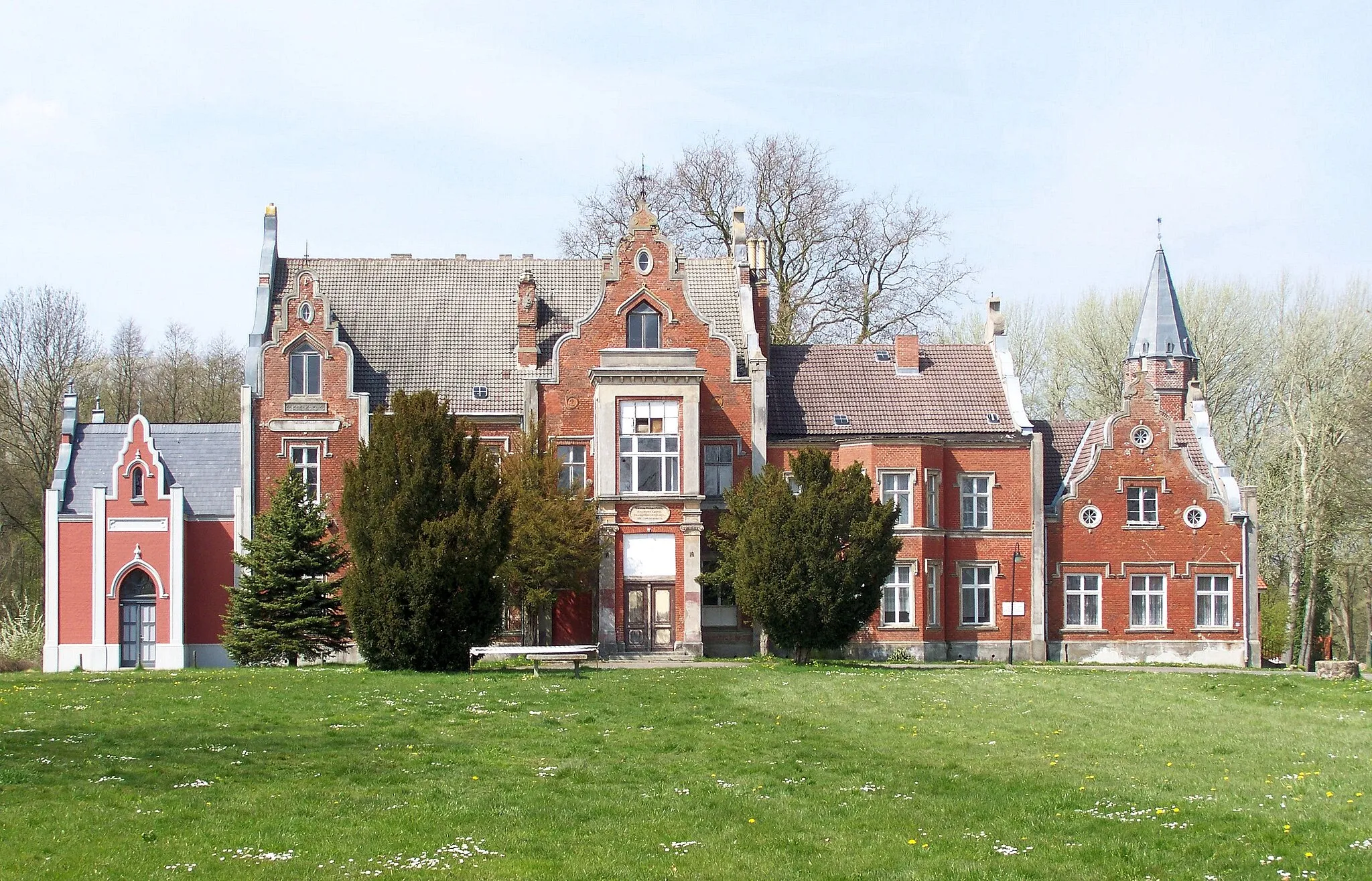
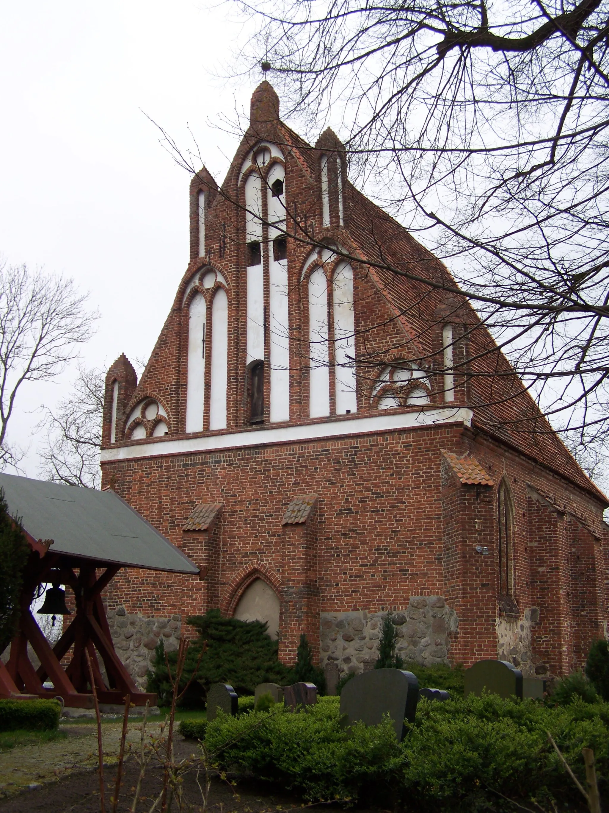
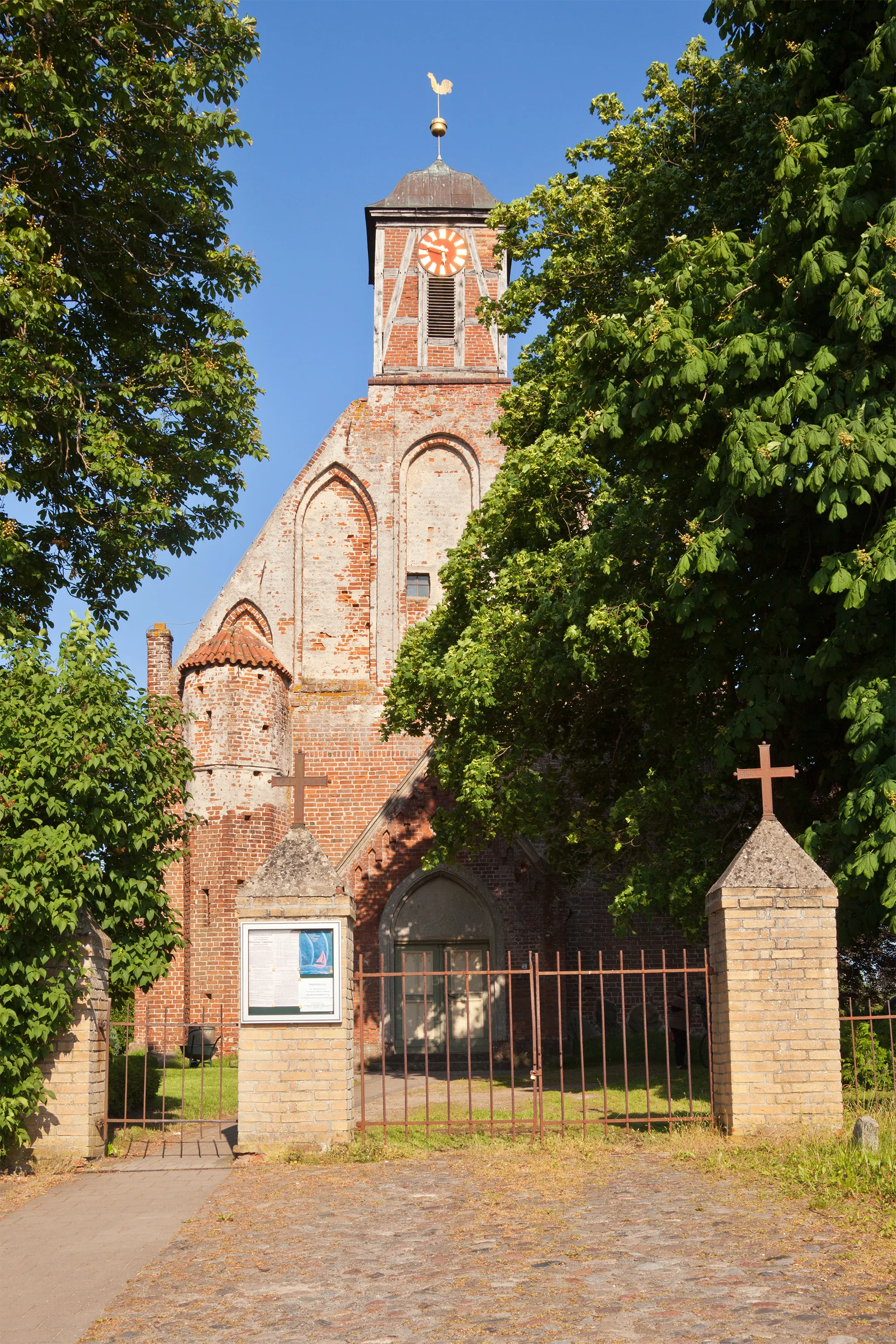
Prohn, located in Mecklenburg-Vorpommern, Germany, offers rewarding cycling opportunities for road and gravel cyclists. The locality is characterized by its peaceful countryside, idyllic lakes, and well-maintained cycling routes. Cyclists can enjoy leisurely rides along flat terrain, exploring charming villages and enjoying the tranquility of nature. While Prohn may not have any famous cycling locations or well-known climbs nearby, it still provides a serene and enjoyable cycling experience, perfect for those seeking a relaxing ride amidst beautiful surroundings.
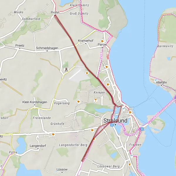
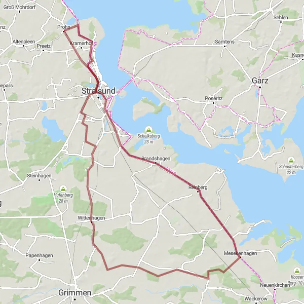
Discover the unique blend of nature and culture on this gravel cycling route, passing through Kramerhof and Historic Centre of Stralsund.
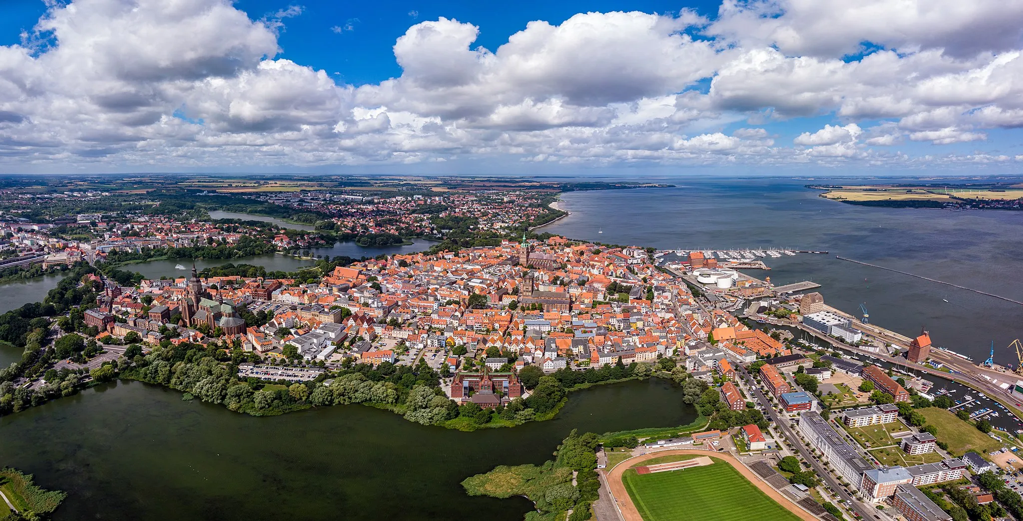
This gravel cycling route combines natural beauty with cultural heritage, passing through the peaceful village of Kramerhof and the awe-inspiring Historic Centre of Stralsund. Covering a distance of 23 kilometers with an ascent of 44 meters, it offers a moderate difficulty level, suitable for experienced gravel cyclists.
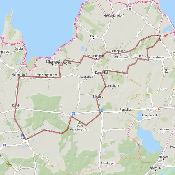
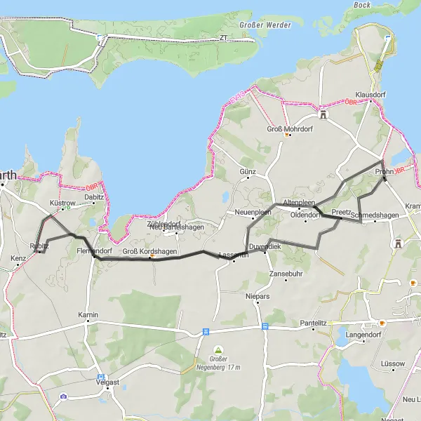
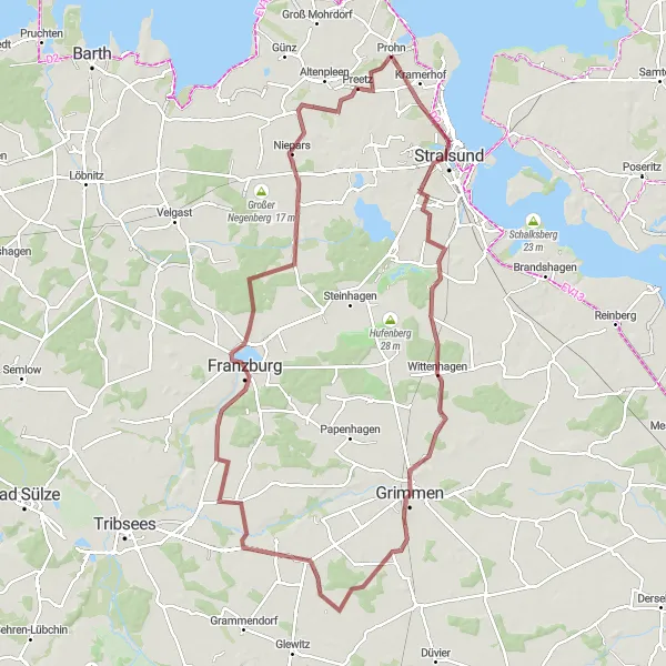
Embark on a thrilling 51 km gravel cycling adventure through the countryside near Prohn.
This gravel cycling route offers a mix of dirt paths and paved roads, allowing you to explore the lesser-known areas around Prohn. With an ascent of 108 m and a distance of 51 km, this ride is suitable for intermediate cyclists who enjoy off-road experiences. The overall difficulty level is set at 3, as the terrain can be slightly challenging in some sections. The epicness level is set at 3, as the route takes you through scenic landscapes but doesn't feature any legendary climbs or famous spots.
Hit the road to explore the charming villages of Altenpleen and Küstrow.
This road cycling route takes you through picturesque countryside, allowing you to discover the charming villages of Altenpleen and Küstrow. With a moderate difficulty level, it is suitable for well-trained amateur cyclists. The route covers a distance of 49 kilometers with a total ascent of 73 meters.
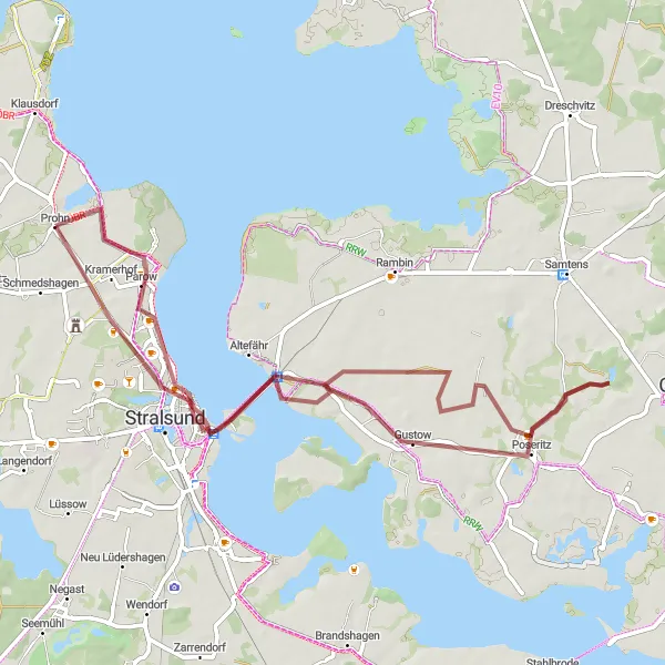
Embark on an epic gravel cycling adventure from Stralsund to Parow.
This epic gravel cycling route takes you on a thrilling adventure from the historic city of Stralsund to the picturesque village of Parow. With a distance of 84 kilometers and a challenging ascent of 175 meters, this route is reserved for experienced gravel cyclists. Prepare for a memorable journey through stunning landscapes and charming destinations.
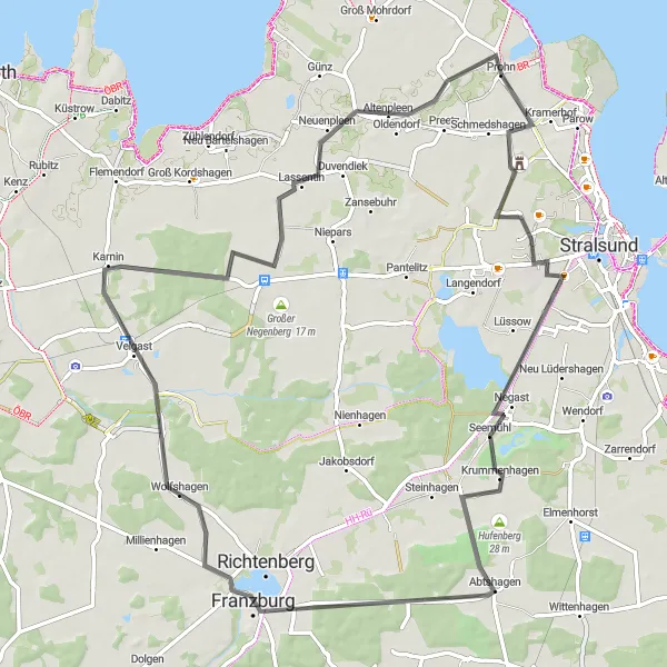
Embark on a challenging road cycling adventure through scenic routes to reach Eisberg and Velgast.
This road cycling route offers a challenging adventure for experienced cyclists. Covering a distance of 74 kilometers and an ascent of 162 meters, it passes through stunning landscapes and reaches the towns of Eisberg and Velgast. With its moderate difficulty level, it is suitable for well-trained amateur cyclists.
Embark on a 78 km road cycling adventure along the scenic coastline near Prohn.
This road cycling route takes you along the stunning coastline of Mecklenburg-Vorpommern, offering breathtaking views of the Baltic Sea. With a total distance of 78 km and an ascent of 174 m, this ride provides a moderate challenge for intermediate cyclists. The overall difficulty level is set at 2, making it suitable for well-trained amateurs. The epicness level is set at 3, as the route showcases the beauty of the coastline but doesn't feature any famous cycling spots or legendary climbs.
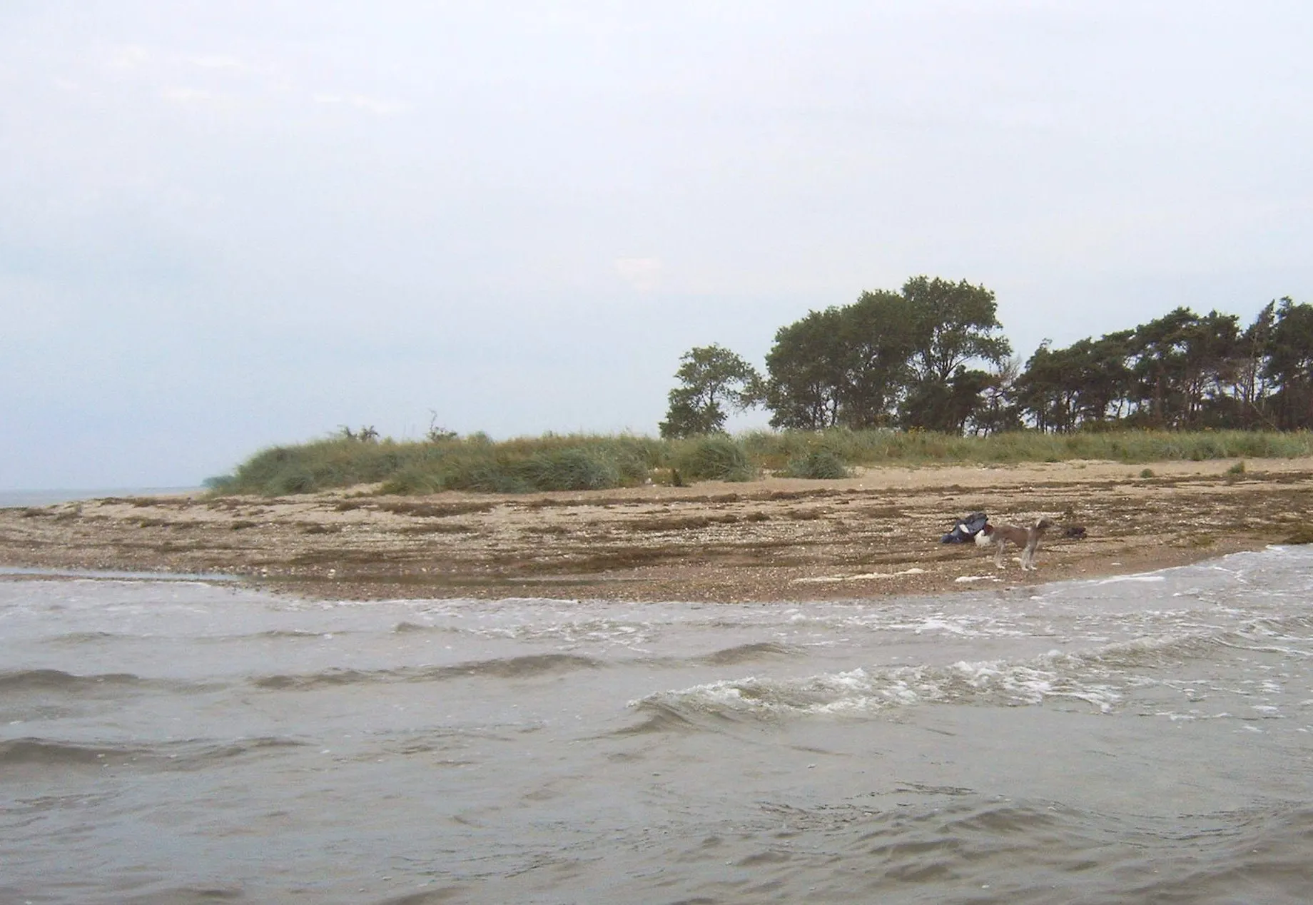
Prohn Loop: A Coastal Adventure
Explore the beautiful coastal landscape near Prohn on this 75 km road cycling route.
This road cycling route takes you through the charming countryside and picturesque coastline near Prohn. With a total distance of 75 km and an ascent of 132 m, this ride offers a scenic mix of rural landscapes and coastal views. Suitable for intermediate cyclists, the Prohn Loop provides a moderate challenge without being too strenuous. Epicness level is set at 3, as this route showcases the natural beauty of the region but doesn't feature any legendary climbs or famous spots.
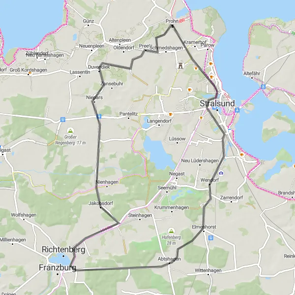
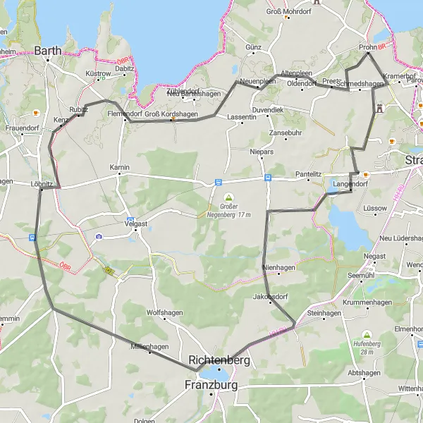
Discover the historical and natural wonders of Prohn on this 62 km road cycling route.
This road cycling route takes you through the picturesque landscape surrounding Prohn, showcasing both its historical landmarks and natural beauty. With an ascent of 128 m and a distance of 62 km, this ride offers a moderately challenging experience suitable for intermediate cyclists. The overall difficulty level is set at 2, as the terrain mainly consists of rolling hills and country roads. The epicness level is set at 3, as the route features several highlights but doesn't include any truly legendary climbs or famous cycling spots.
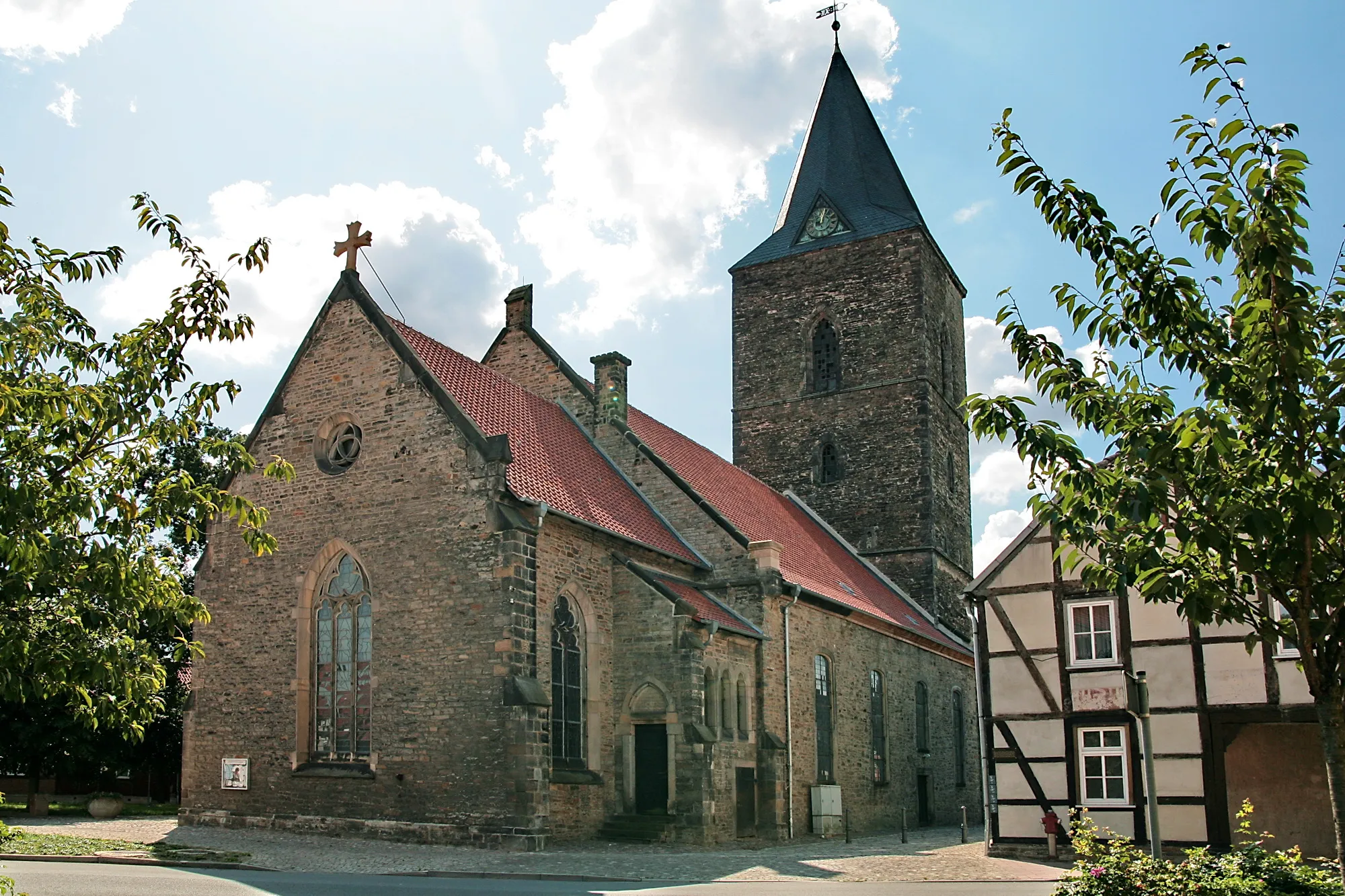
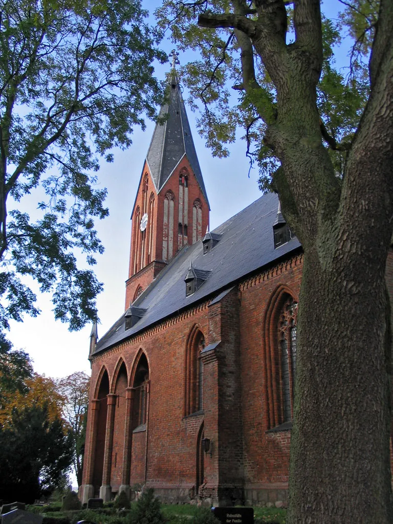
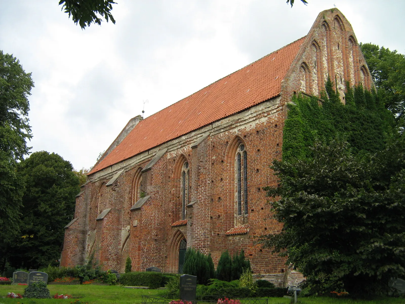
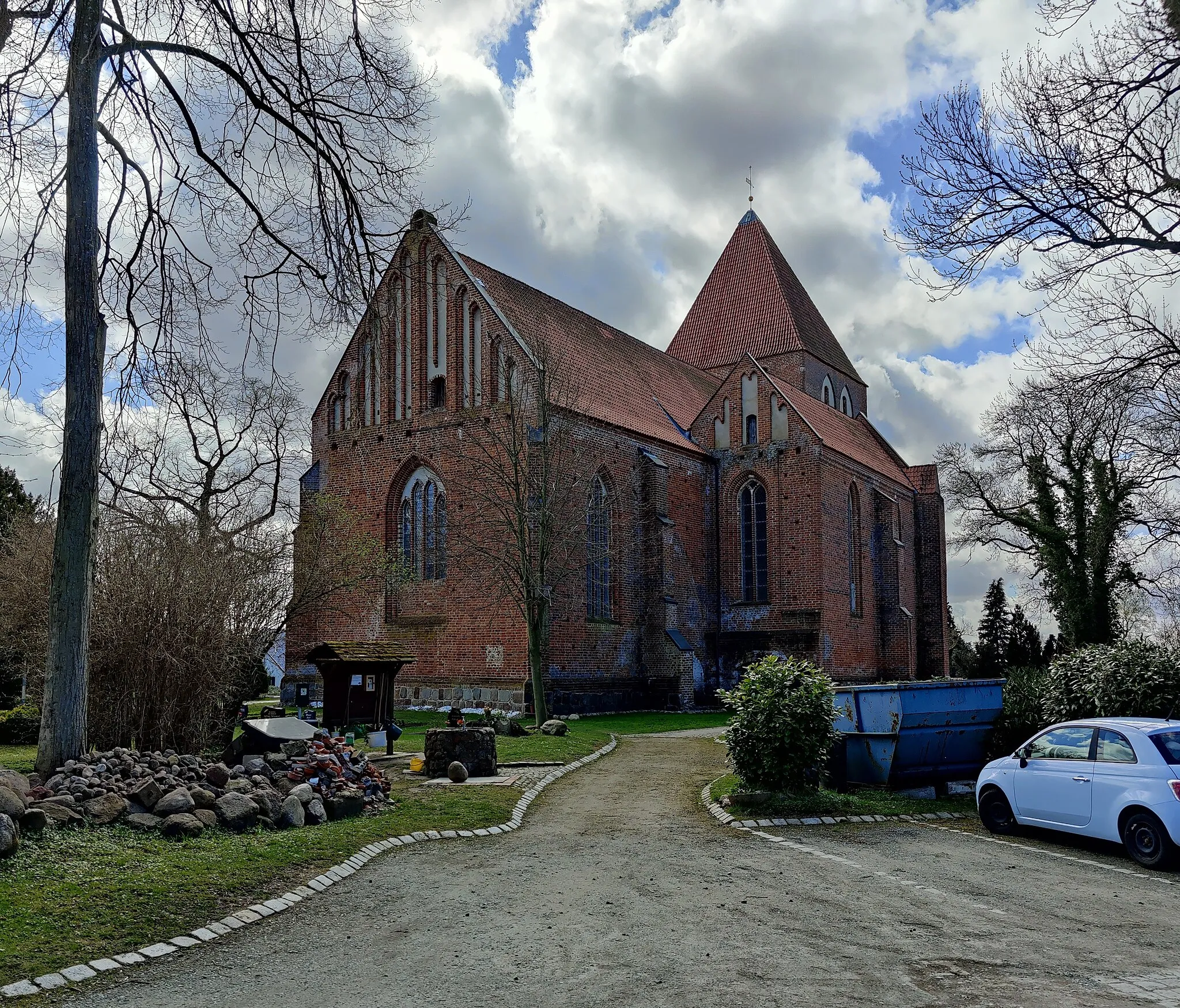
Experience the mix of nature and history on this gravel cycling route to Gorch Fock I and St. Marien-Kirche.
This gravel cycling route combines natural beauty and historical landmarks. Covering a distance of 59 kilometers with an ascent of 107 meters, it takes you to the iconic Gorch Fock I and the majestic St. Marien-Kirche. Suitable for experienced gravel cyclists, it offers a moderate difficulty level.
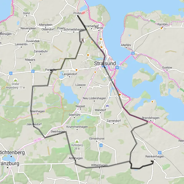
Embark on a thrilling 98 km gravel cycling adventure through the beautiful landscapes of Mecklenburg-Vorpommern.
This gravel cycling route takes you through the diverse landscapes of Mecklenburg-Vorpommern, showcasing the region's natural beauty. With an ascent of 195 m and a distance of 98 km, this ride is suitable for experienced gravel riders looking for a longer and more challenging adventure. The overall difficulty level is set at 4, as the terrain varies from gravel paths to more technical sections. The epicness level is set at 3, as the route provides scenic views but doesn't feature any legendary climbs or famous spots.
Cycling routes nearby:
Nearby regions: