Scenic Rides and Challenging Climbs in Weihenzell
Cycling routes from Weihenzell
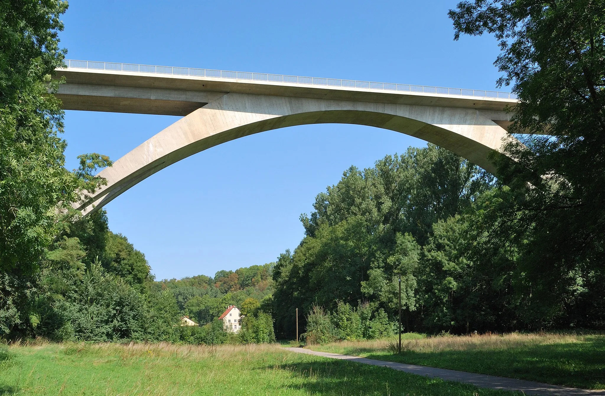
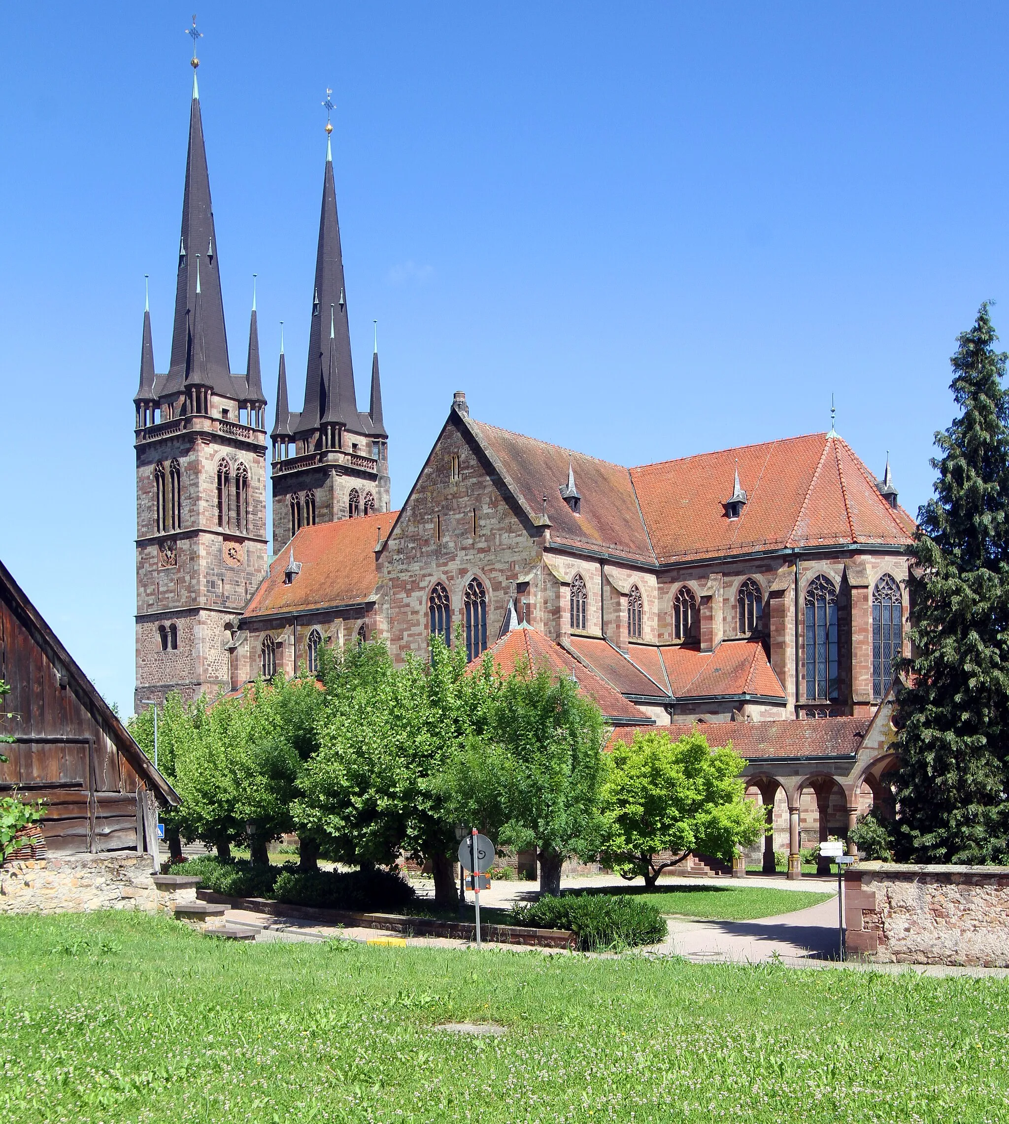
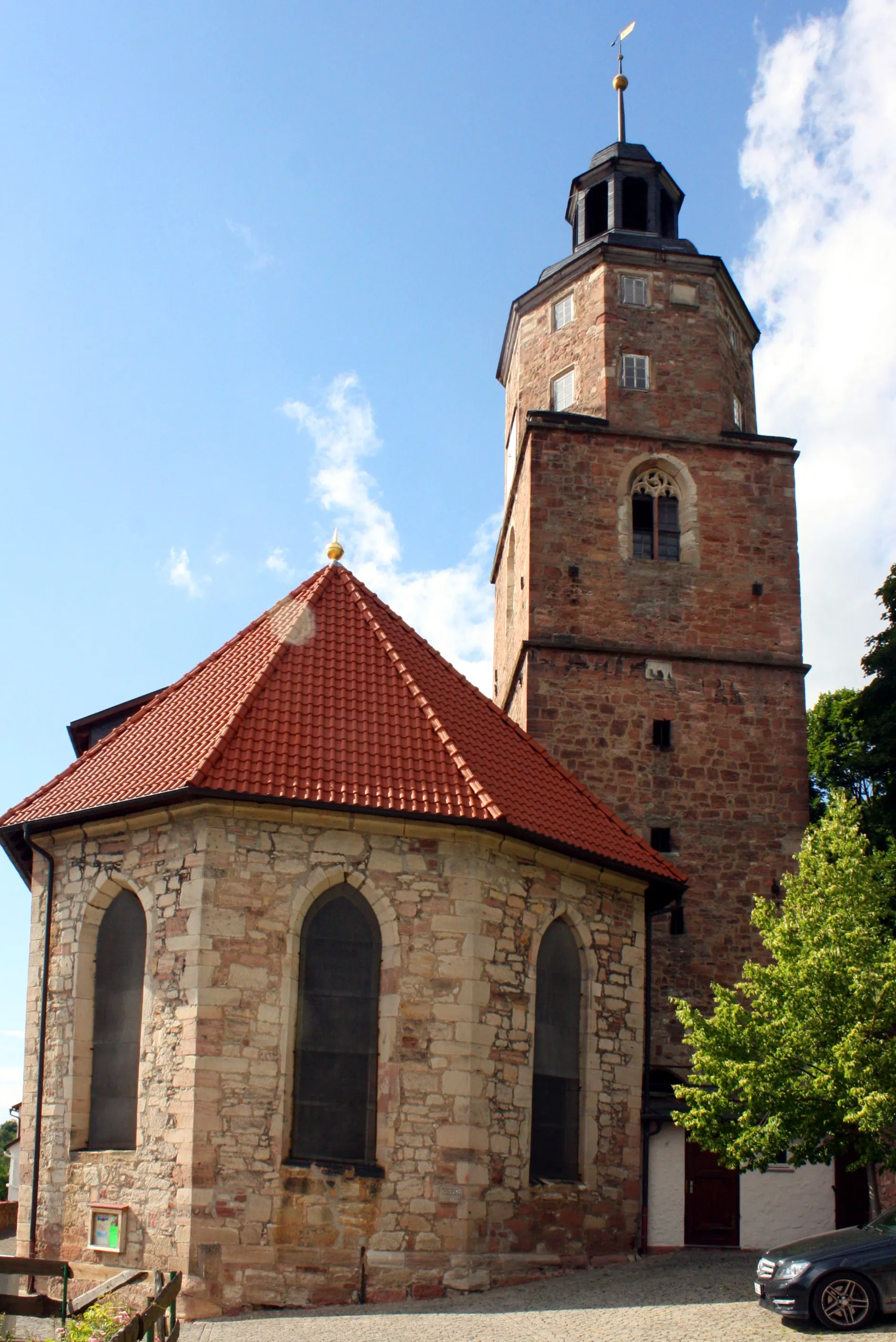
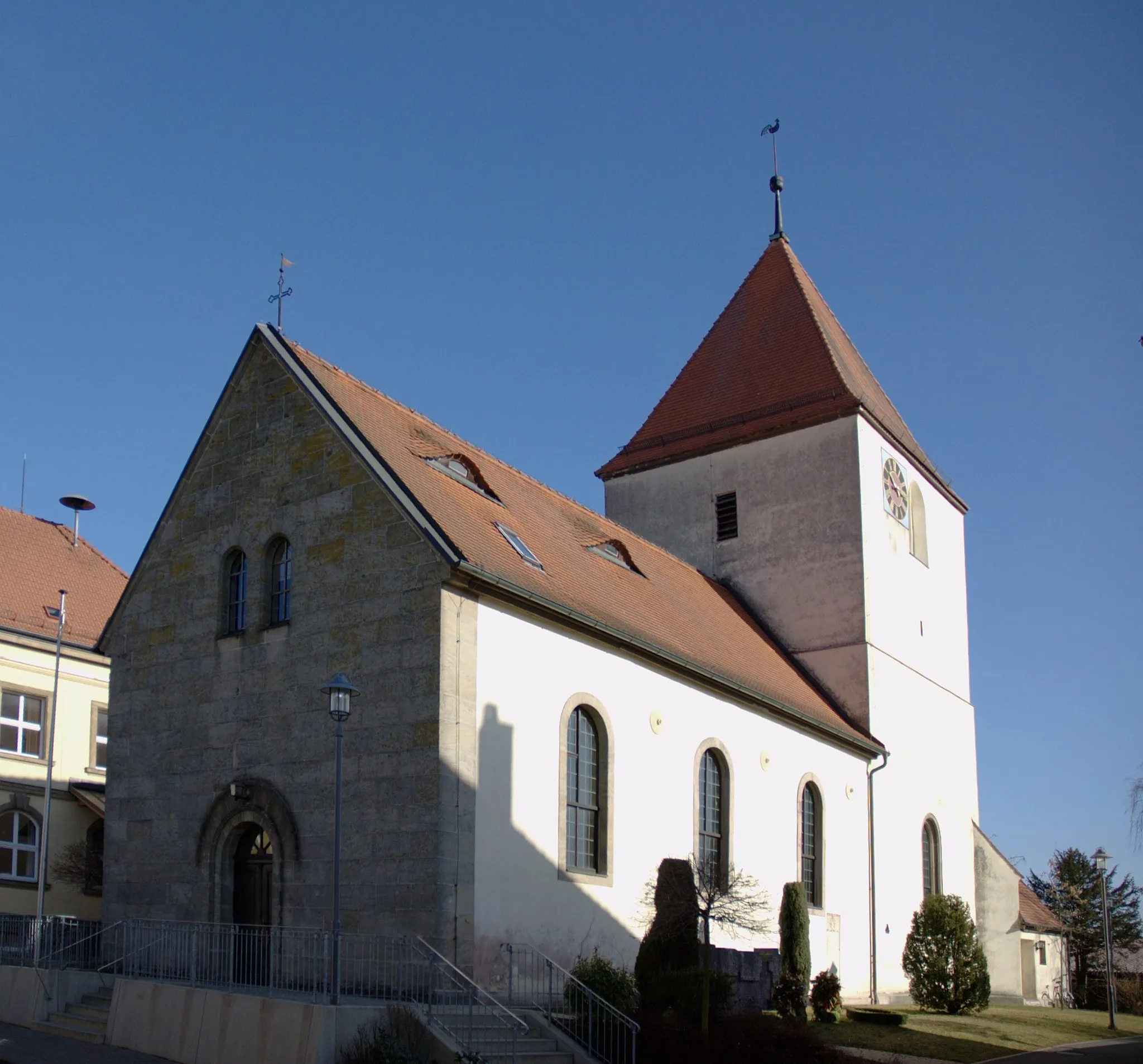
Weihenzell, located in Mittelfranken, Germany, offers a scenic and challenging cycling experience for road and gravel cyclists. The region is characterized by its rolling hills and picturesque countryside, providing breathtaking views throughout the routes. Weihenzell is known for its well-maintained roads and cycling infrastructure, creating a safe and enjoyable environment for cyclists. Cyclists can also explore the nearby Franconian Heights, which offers stunning landscapes and challenging climbs. With its combination of natural beauty and excellent cycling facilities, Weihenzell is a top choice for cyclists seeking a rewarding and adventurous ride.
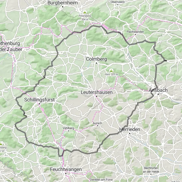
The Scenic Road
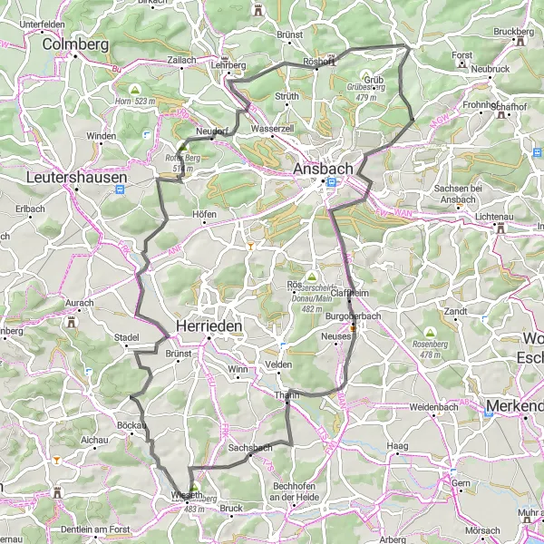
A picturesque route through the beautiful countryside of Mittelfranken
The Scenic Road is a breathtaking cycling route that takes you through the picturesque countryside of Mittelfranken. This round-trip starts near Weihenzell and offers stunning views of the rolling hills, charming villages, and scenic landscapes of the region. With a total distance of 72 kilometers and an elevation gain of 721 meters, this route is suitable for well-trained amateur cyclists. The difficulty level is rated as 3 on a scale of 1 to 5, making it challenging yet achievable for most riders. Cycling enthusiasts will be delighted by the epicness of this route, which is rated as 4 out of 5.
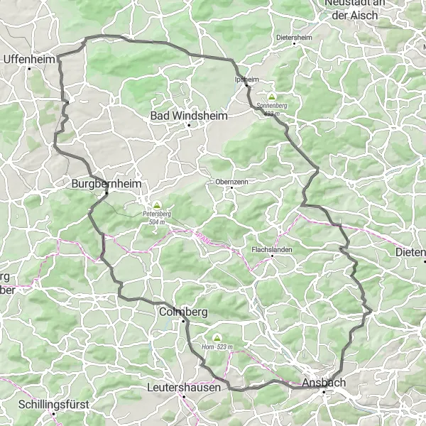
Roads of Bonnhof
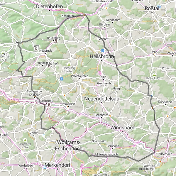
A road cycling adventure with scenic landscapes near Weihenzell
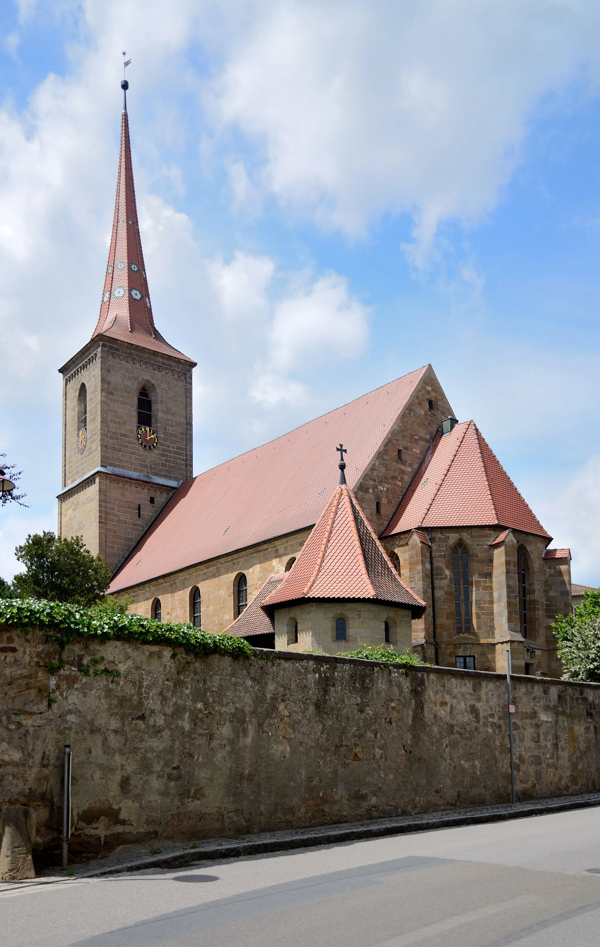
The Roads of Bonnhof is a 72-kilometer road cycling route that showcases the picturesque landscapes surrounding Weihenzell. With 728 meters of ascent, this route provides a moderate challenge for cyclists. Lerchenbühl and Sommerbuck are two highlights along the route, offering beautiful views of the countryside. Wolframs-Eschenbach is another notable highlight, featuring historic architecture and cultural sites. With its varied terrain and stunning vistas, the Roads of Bonnhof is a great choice for road riders looking to explore the region.
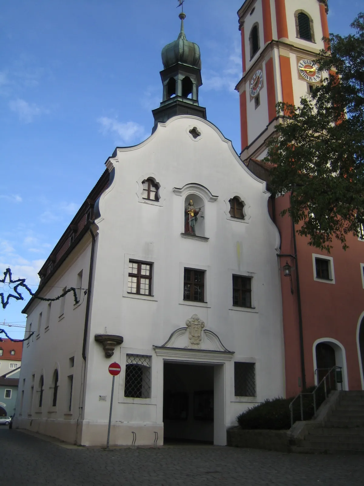
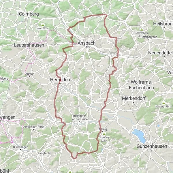
Ansbach and Geslau Loop
Discover the hidden gems of Ansbach and explore picturesque Geslau on this captivating cycling route
This 100 km road cycling route takes you through the charming town of Ansbach and the picturesque village of Geslau. With a total ascent of 852 m, this moderately challenging route offers a mix of scenic countryside and cultural highlights. Immerse yourself in the beauty of Mittelfranken and enjoy the unique atmosphere of Ansbach and Geslau. This route is suitable for well-trained amateurs seeking a memorable cycling experience.
Discover charming Ansbach and historic Colmberg on this scenic cycling route
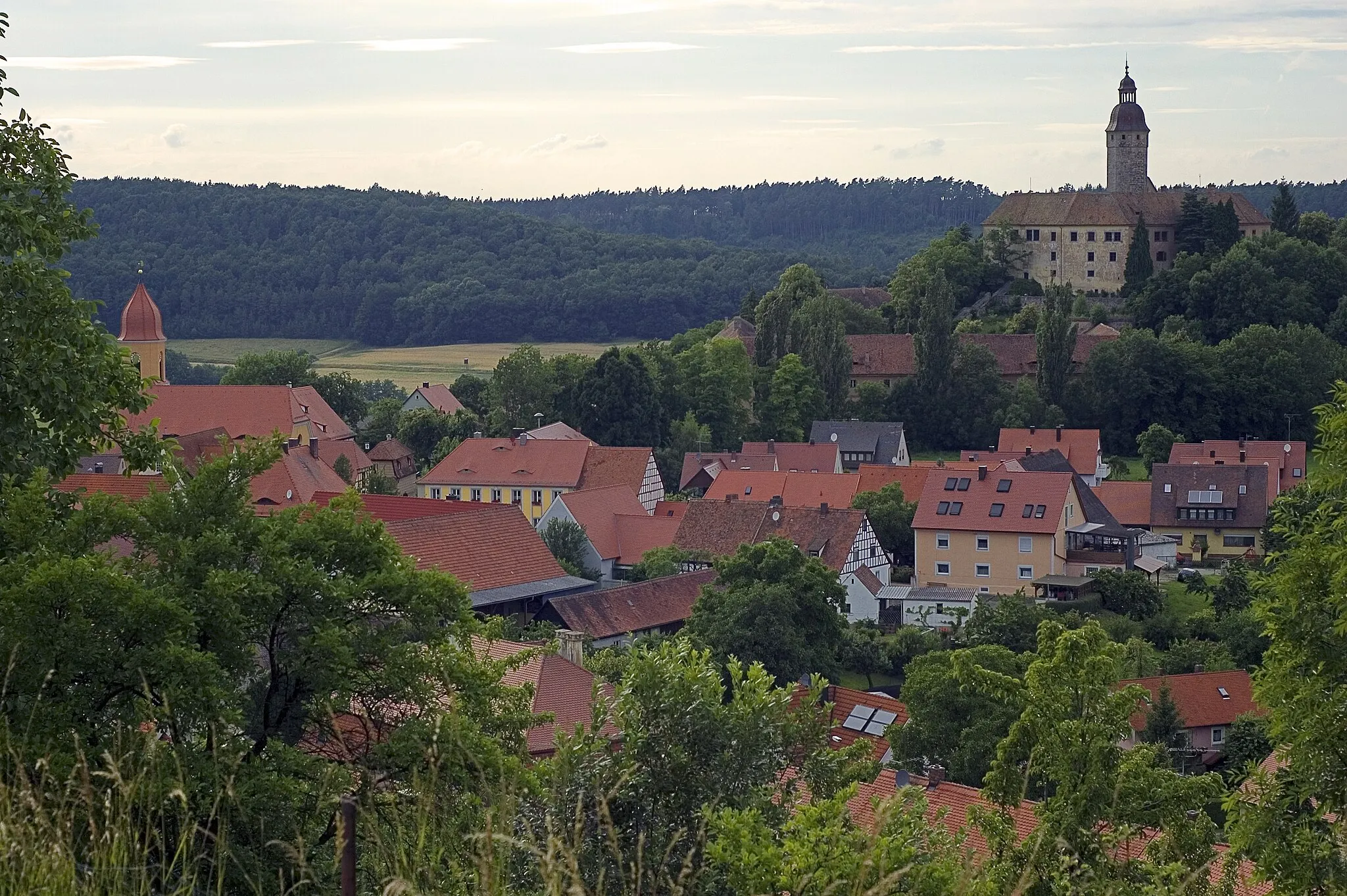
This 104 km road cycling route takes you through the picturesque towns of Ansbach and Colmberg. Along the way, you will enjoy stunning countryside views and have the opportunity to visit several highlights such as Bocksberg and Ipsheim. With a total ascent of 973 m, this moderately challenging route is suitable for well-trained amateurs. Get ready for an epic cycling adventure in Mittelfranken!
A gravel adventure exploring Hörleinsdorf near Weihenzell
The Hörleinsdorf Gravel Loop is an 83-kilometer route that takes cyclists on a gravel adventure through the beautiful countryside near Weihenzell. With 830 meters of ascent, this route provides a challenging yet exhilarating experience for riders. Hörleinsdorf and Flinerlesberg are two highlights along the route, offering scenic views of the surrounding landscapes. Wolfsbuck and Heidenberg are other notable highlights, featuring dense forests and picturesque meadows. The Hörleinsdorf Gravel Loop is perfect for experienced gravel riders looking to explore the natural beauty of the region.
Weihenzell Loop
A gravel adventure showcasing the beauty of Weihenzell
The Weihenzell Loop is a 70-kilometer gravel route that takes cyclists through the scenic countryside near Weihenzell. With 879 meters of ascent, the route provides a challenging yet rewarding experience for riders. The highlight of the route is the climb up Hohe Leiten, offering stunning panoramic views of the surrounding area. Other notable highlights include Altschauerberg and Warzfelden, both offering picturesque landscapes. The Weihenzell Loop is suitable for experienced gravel riders looking to explore the hidden gems of the region.
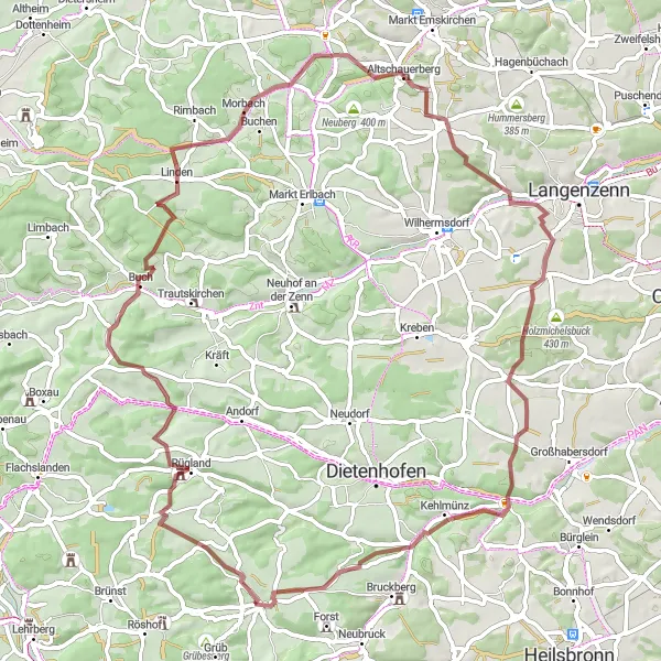
Escape to the serene countryside of Mittelfranken, discovering picturesque vineyards and charming villages along the way
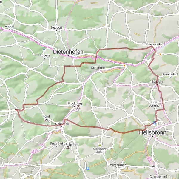
Experience the beauty of Mittelfranken on this 39 km gravel cycling route. Admire the idyllic landscapes, cycle through vineyards, and explore the charming villages of Großhabersdorf and Klingenberg. With a total ascent of 447 m, this route offers a relaxing gravel adventure suitable for all skill levels. Immerse yourself in the tranquility of the region, enjoy the fresh air, and discover the hidden gems of Mittelfranken on this scenic escape.
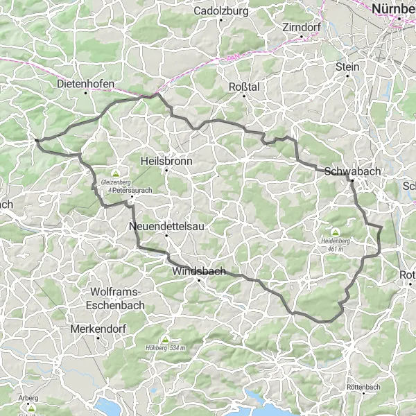
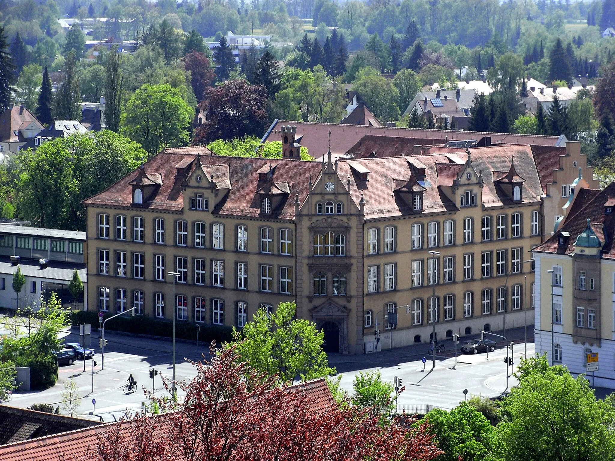
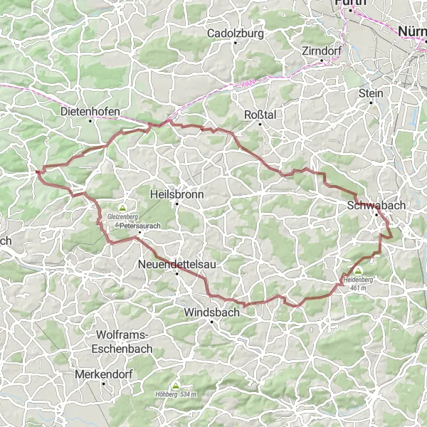
Discover the beauty of Schwabach and admire the view from the historic Stadtturm on this captivating cycling route
Explore the picturesque city of Schwabach on this 92 km road cycling route. Admire the architecture of historic buildings, visit the iconic Stadtturm, and enjoy the stunning views from Mäbenberg. With a total ascent of 877 m, this route offers a moderate challenge for well-trained amateurs. Experience the beauty of Mittelfranken and immerse yourself in the rich history and cultural heritage of Schwabach and its surroundings.
Embark on a gravel adventure through vineyards and hills, visiting the idyllic Weinberg and Bocksberg along the way
Get off the beaten path on this 86 km gravel cycling route, which takes you through the scenic countryside near Weihenzell. Enjoy the tranquility of the Weinberg area and discover the stunning Bocksberg hill. With a total ascent of 934 m, this route offers a moderate challenge for gravel enthusiasts. Discover hidden gems of Mittelfranken on this epic gravel adventure!
Wolfartswinden Exploration
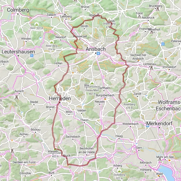
A gravel adventure through Wolfartswinden and its scenic surroundings
The Wolfartswinden Exploration is a 67-kilometer gravel route that takes cyclists through picturesque landscapes near Weihenzell. With 738 meters of ascent, this route provides an exciting challenge for gravel riders. Hausberg and Mühlbuck are two highlights along the route, offering scenic views of the surrounding countryside. Königshofen an der Heide and Bocksberg are other notable highlights, with picturesque meadows and rolling hills. The Wolfartswinden Exploration is a great choice for adventurous riders looking to discover the beauty of Wolfartswinden and its surroundings.
Cycling routes nearby:


Nearby regions: