Tranquility and Versatile Terrain
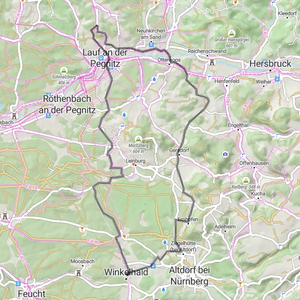
Cycling routes from Winkelhaid
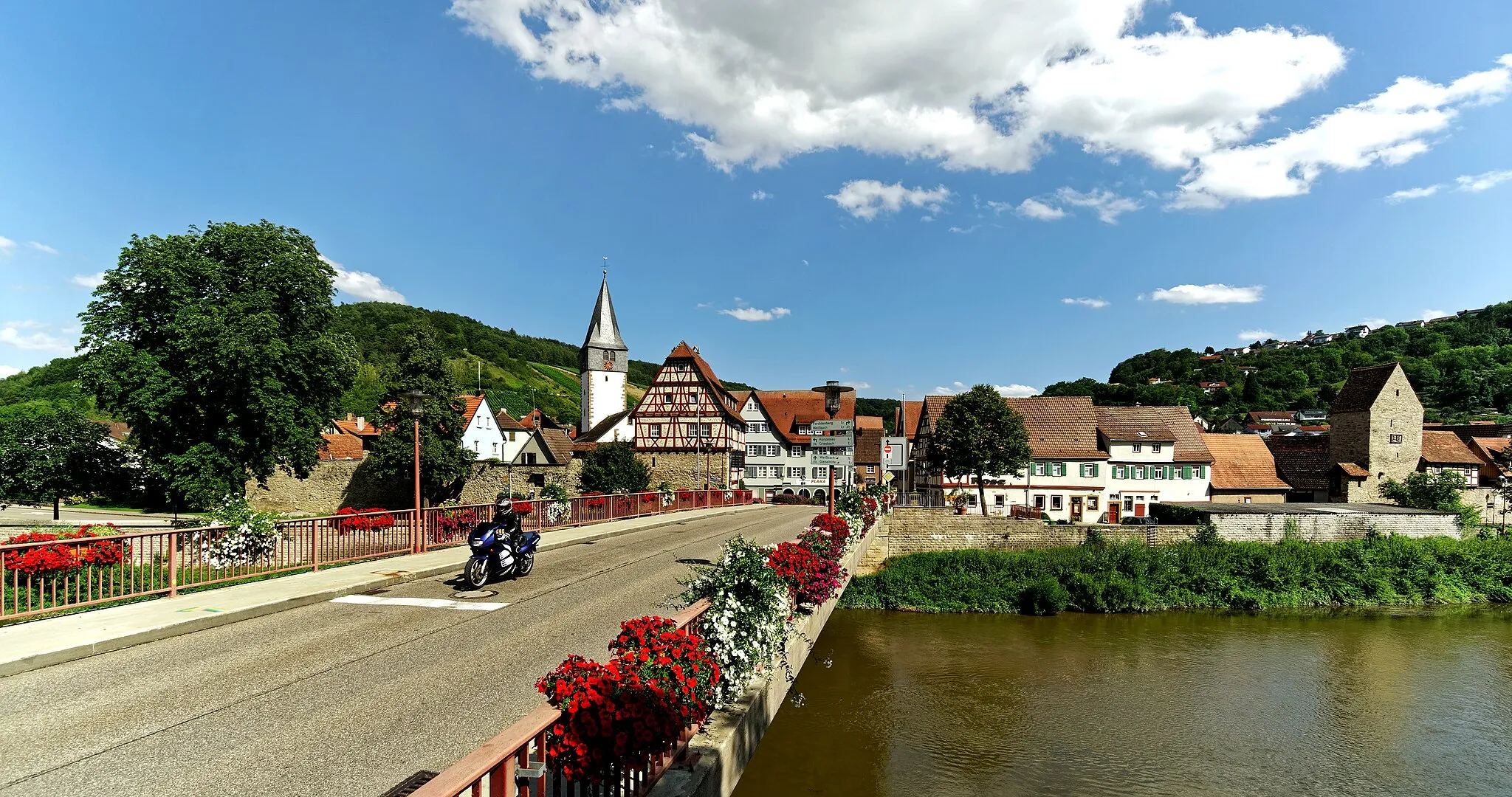
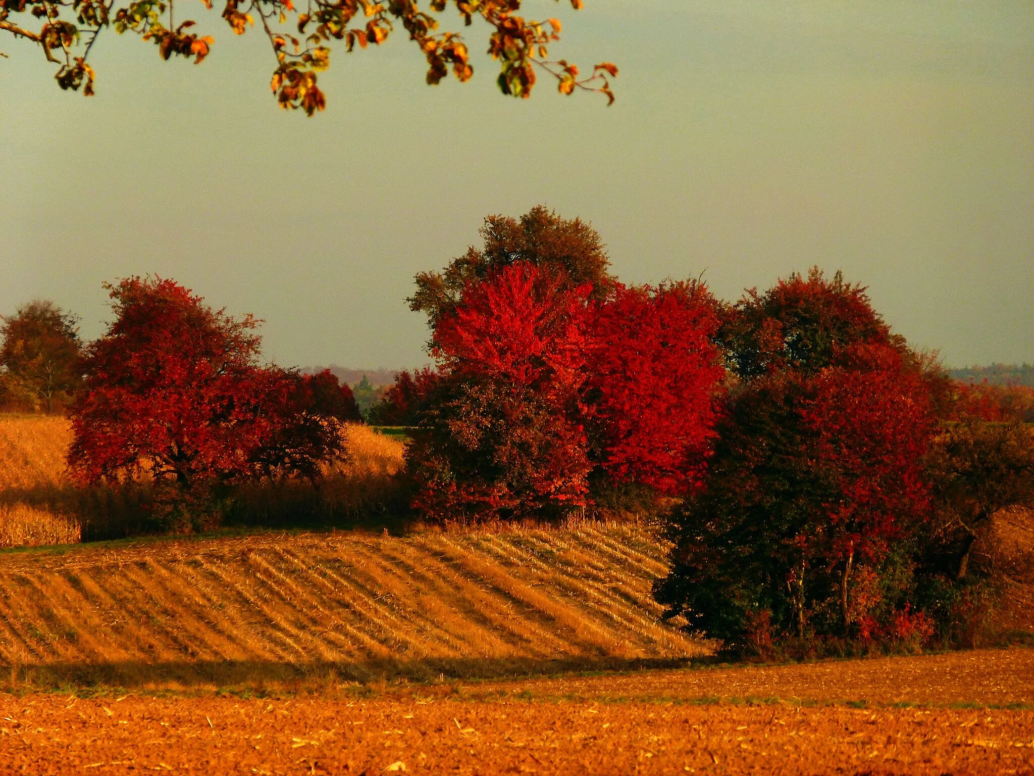
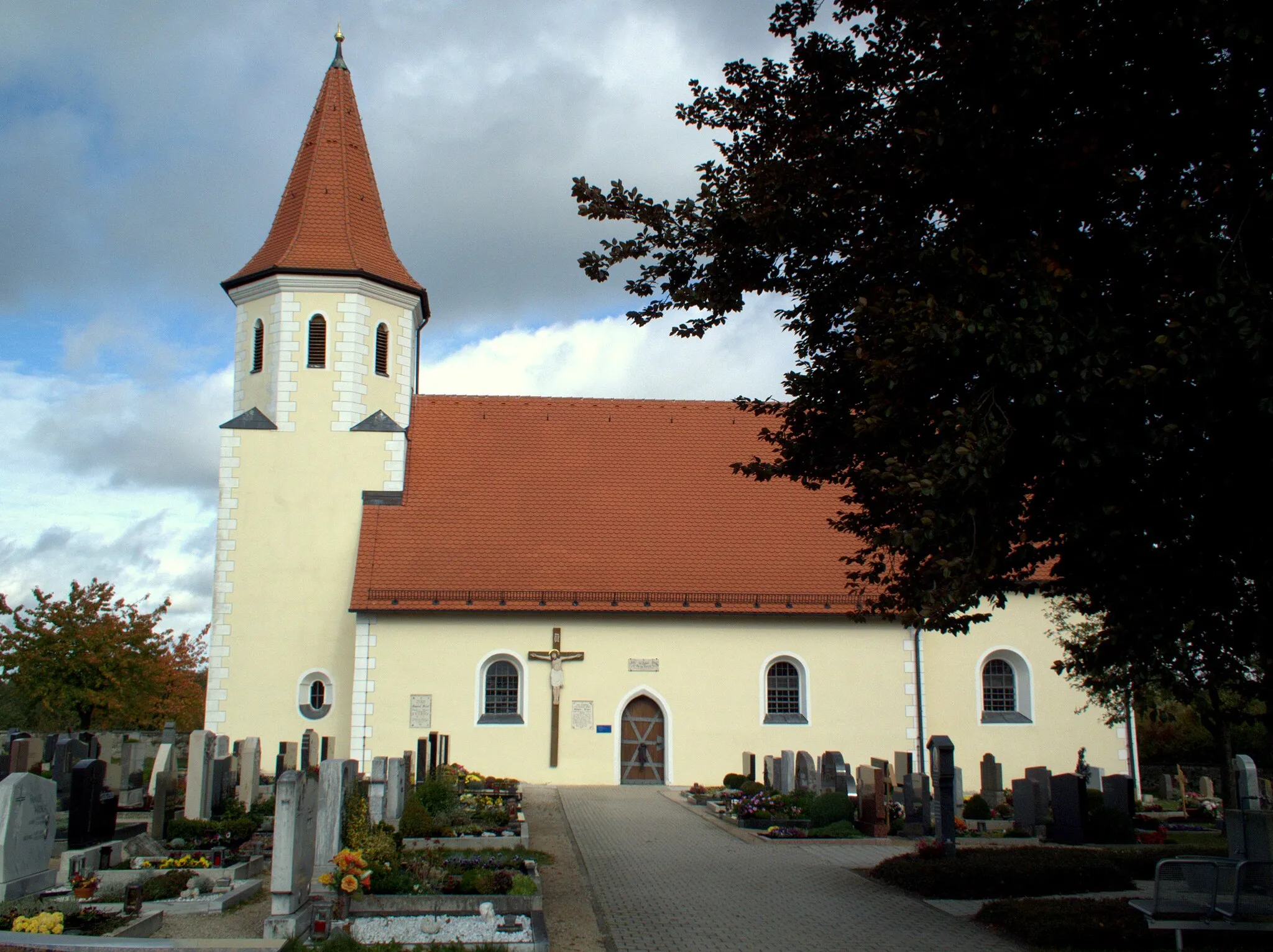
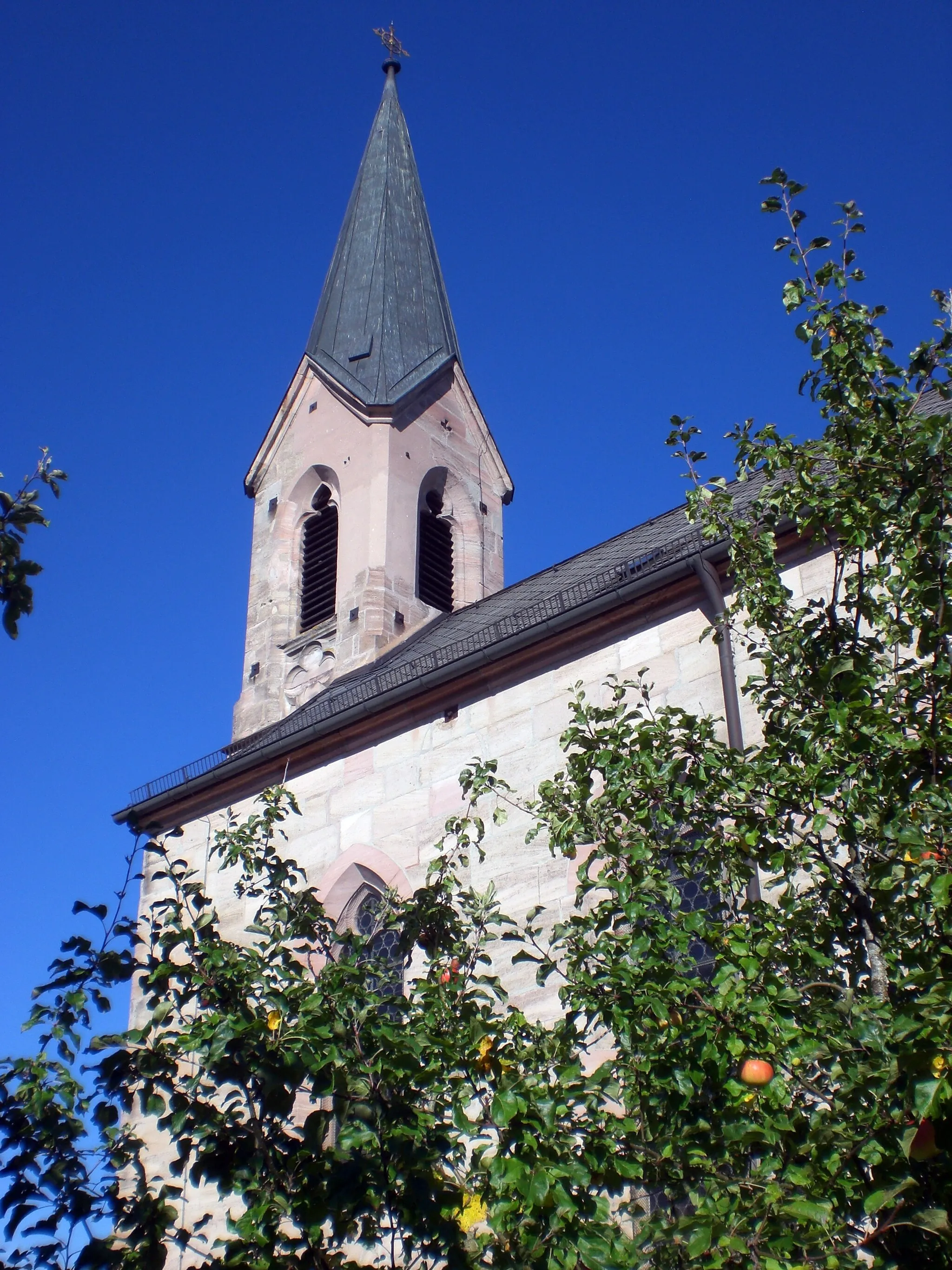
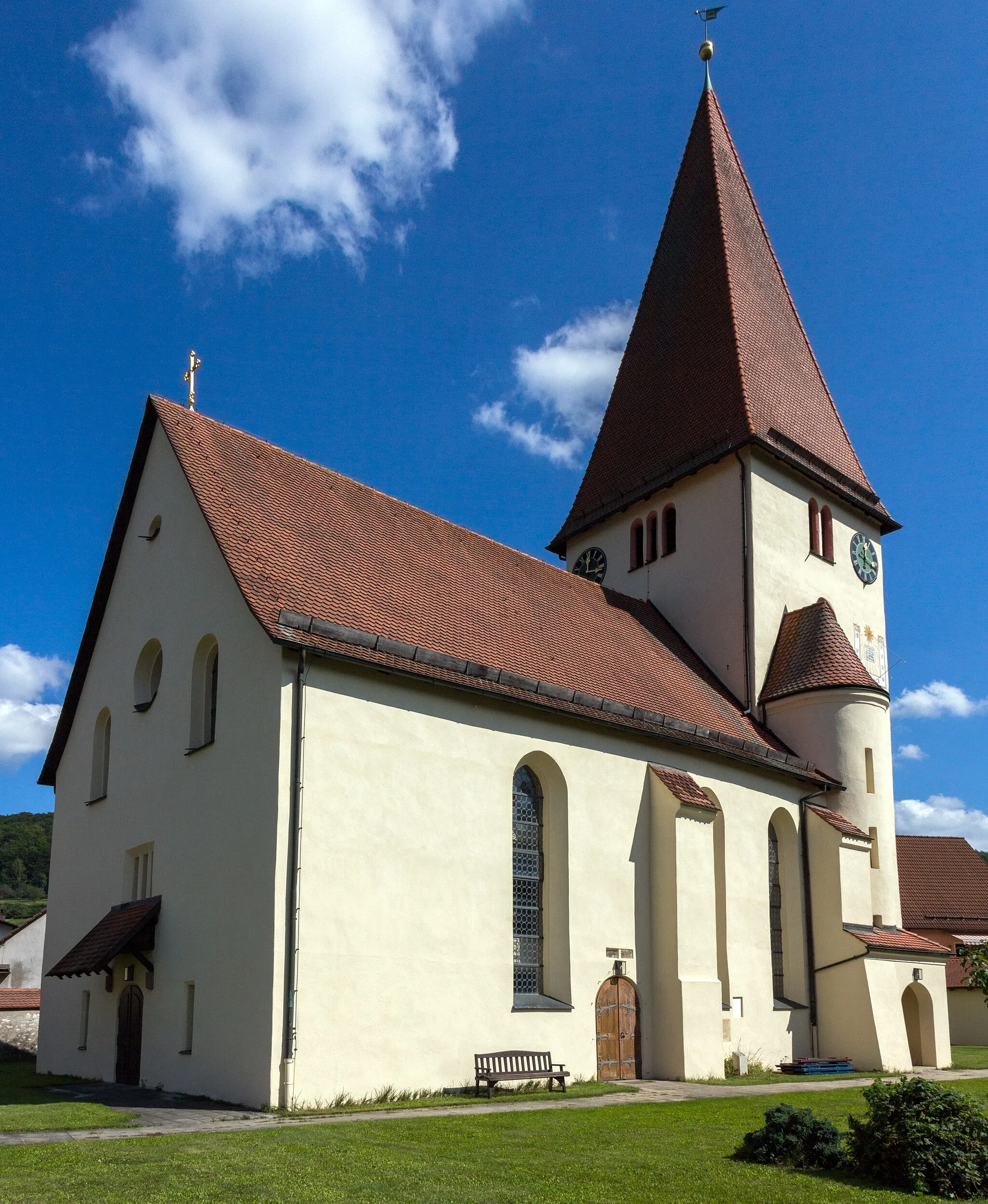
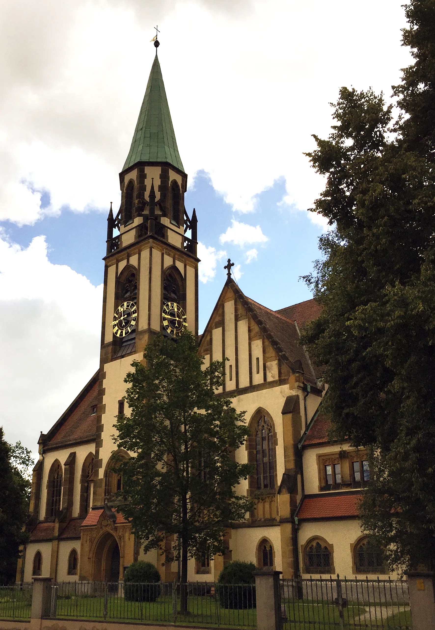
Winkelhaid in Mittelfranken, Germany, is a hidden gem for road and gravel cyclists. The locality offers a perfect blend of tranquility and challenging terrains, making it an ideal destination for both leisurely rides and intense training sessions. The roads in Winkelhaid are well-maintained, and the area is characterized by beautiful landscapes and charming villages. Cycling enthusiasts can explore the surrounding regions and enjoy scenic rides with moderate elevation gains. While Winkelhaid may not be home to any famous cycling spots or legendary climbs, it provides a delightful cycling experience for riders of all levels.
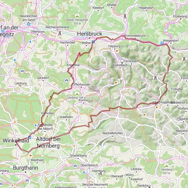
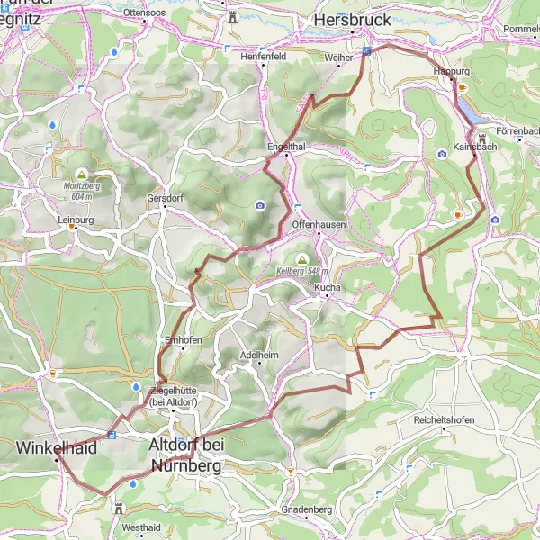
Embark on a challenging gravel loop through the beautiful Weißenbrunn near Winkelhaid.
The Weißenbrunn Gravel Loop is a 65 km route with an ascent of 1041 meters. This challenging gravel loop takes you through diverse landscapes, including dense forests, secluded valleys, and rolling hills. With several highlights along the way, including historic villages and natural beauty spots, this route promises a fantastic and adventurous cycling experience in the Mittelfranken region of Germany.
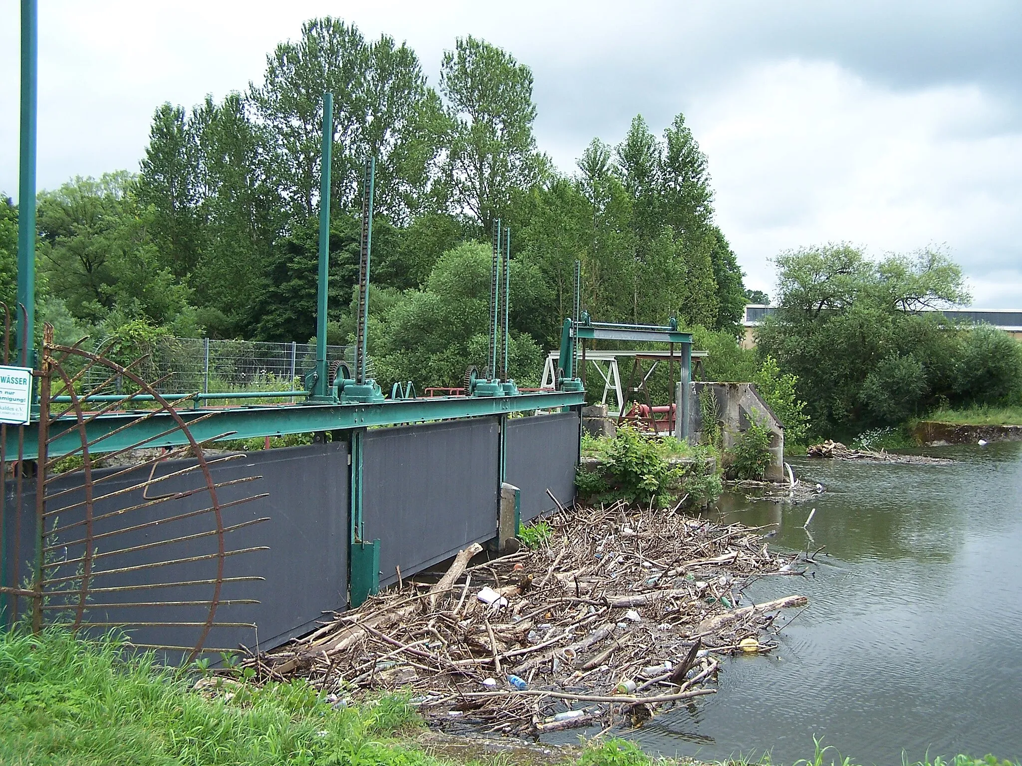
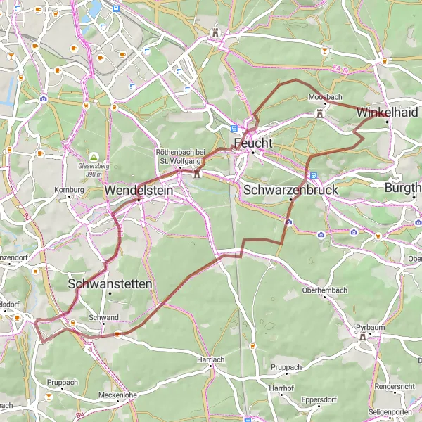
Embark on a thrilling gravel cycling adventure near Altdorf bei Nürnberg.
Covering a distance of 43 km and an ascent of 446 m, this gravel cycling route takes you through the outskirts of Altdorf bei Nürnberg. Along the way, you'll encounter the Grundablaß, a picturesque stream with crystal-clear water, and Pölling, a quaint village known for its traditional Franconian charm. Don't forget to explore the historic town of Altdorf, which is home to several medieval landmarks and a vibrant cultural scene.
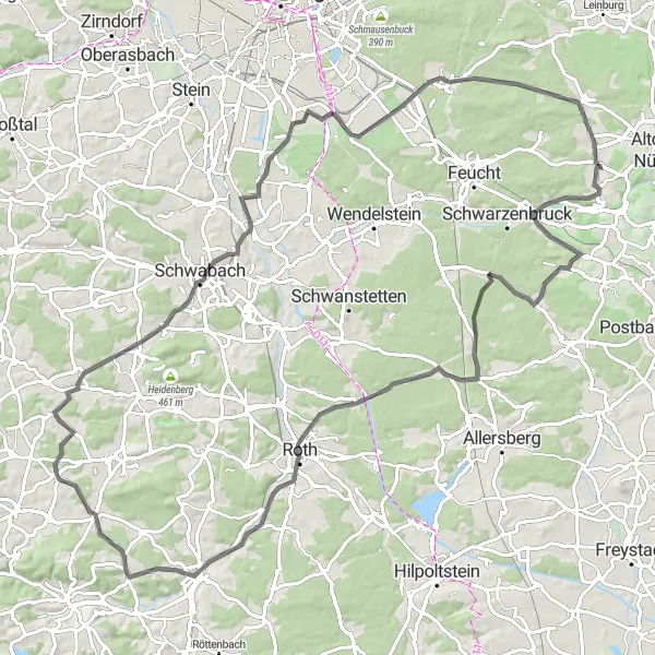
Conquer challenging climbs and admire scenic vistas on this road cycling route.
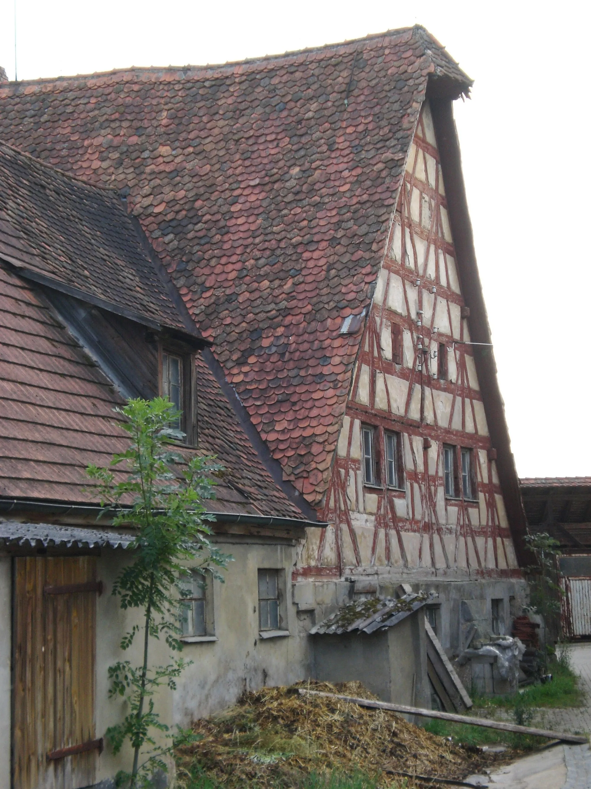
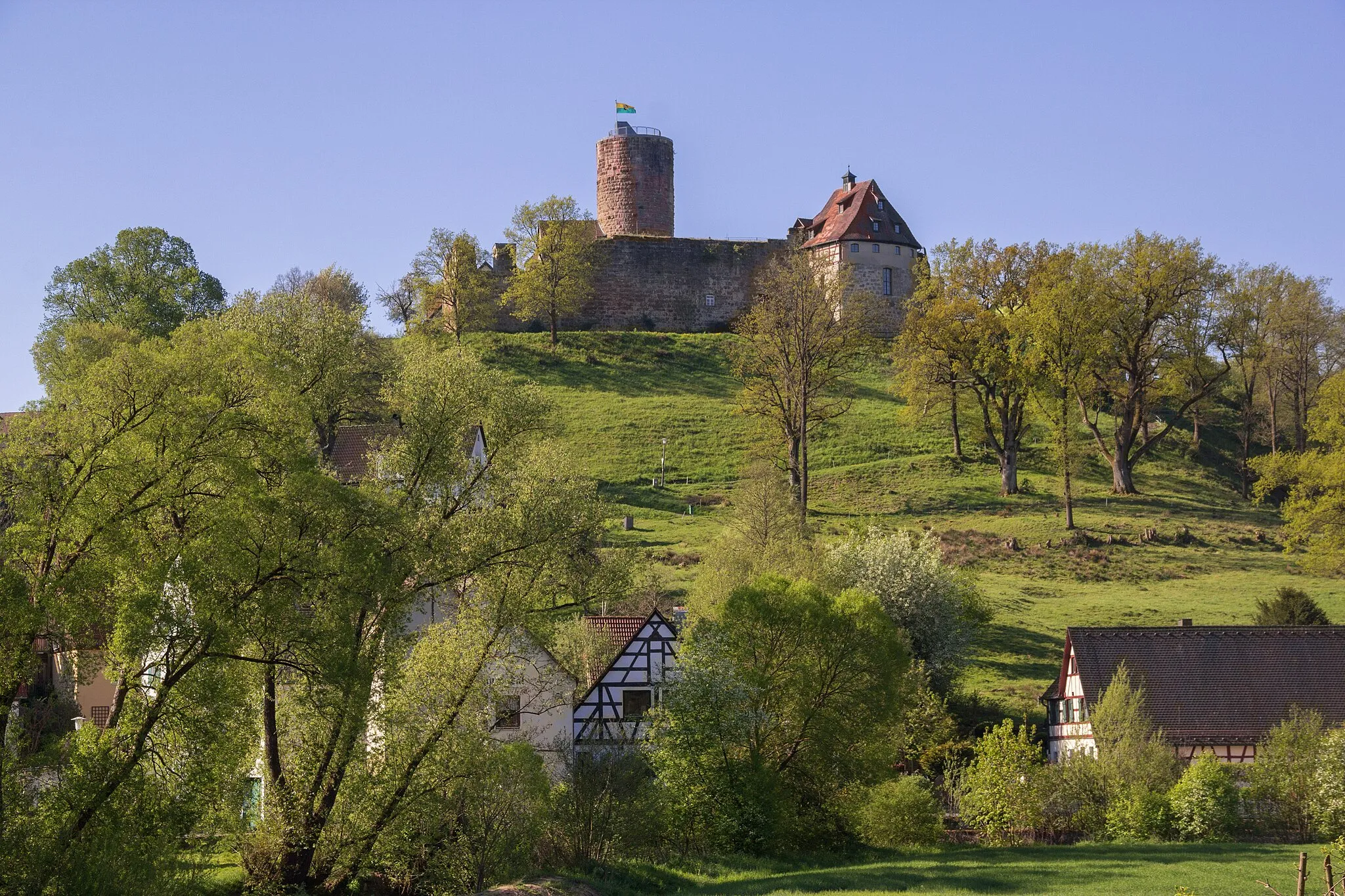
Covering a distance of 78 km and with an ascent of 843 m, this road cycling route is perfect for those seeking a challenge. Gaze at the picturesque Fuchsmühle, a historic mill hidden in the countryside, and marvel at the stunning views from Altes Schloss, an ancient castle ruin. Don't miss the scenic Sommerleite, a breathtaking road that winds through lush forests and offers panoramic vistas of the surrounding landscapes. Journey through Sendelbach, a charming village with traditional half-ti%embered houses, and savor the beauty of Unterwellitzleithen, a tranquil hamlet with awe-inspiring vistas.
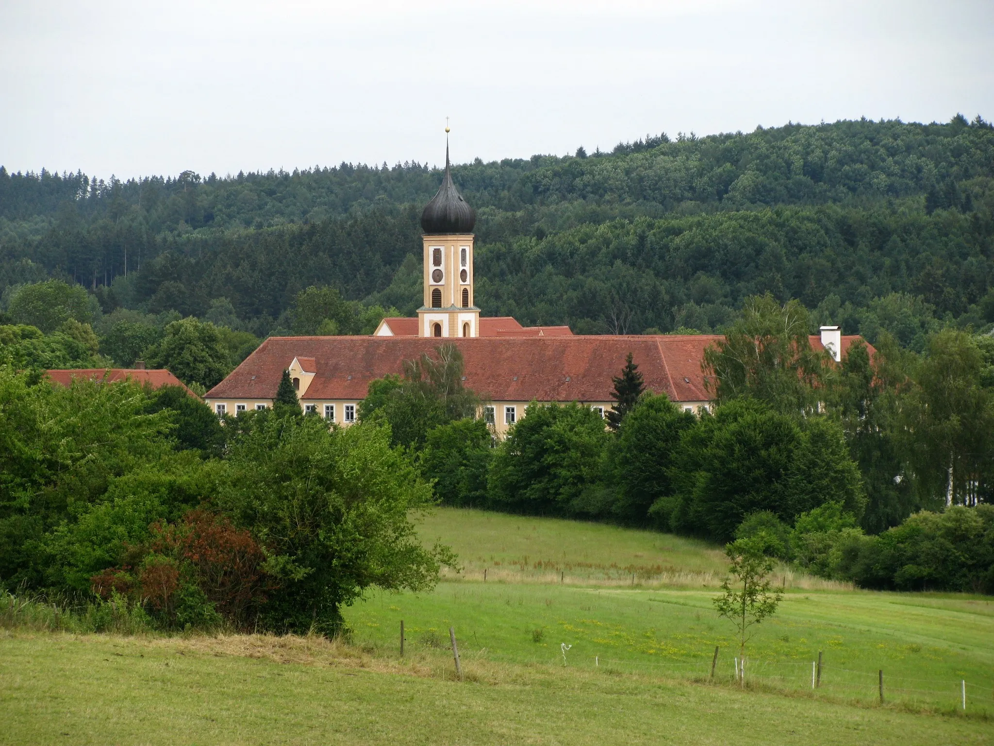
Buchenberg Loop
Rev it up as you tackle gravel trails on the Buchenberg Loop near Winkelhaid.
Experience the thrill of gravel cycling on the Buchenberg Loop near Winkelhaid. This 51 km route, with 760 meters of ascent, will take you through picturesque countryside and charming villages. With challenging sections and stunning scenery, this route is perfect for adventure seekers looking to explore the Mittelfranken region of Germany.

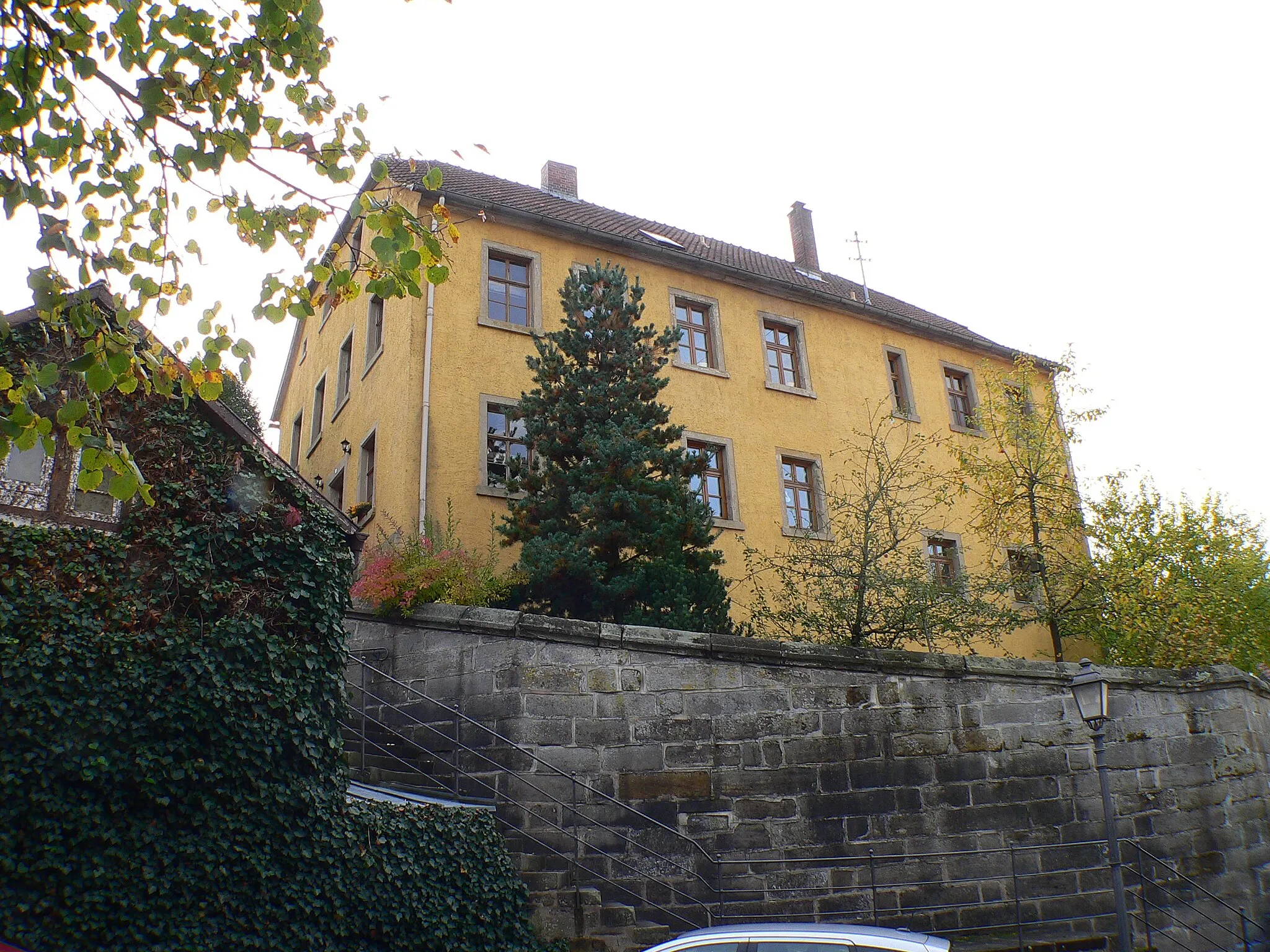
Discover the picturesque Gauchsmühle Circuit near Winkelhaid, an ideal road cycling route.
The Gauchsmühle Circuit is a 71 km road cycling route with a total ascent of 385 meters. This route takes you through beautiful countryside, charming villages, and scenic landscapes, providing an enjoyable cycling experience for riders of all levels. With several highlights along the way, including historic landmarks and stunning natural beauty, this circuit promises to be a memorable adventure in Mittelfranken, Germany.

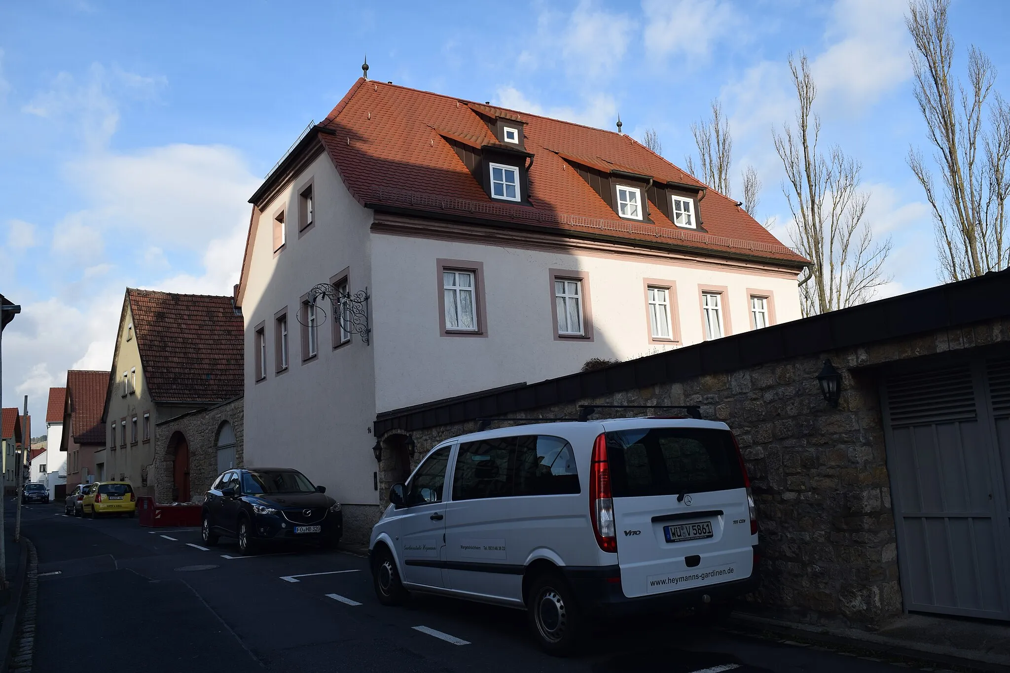
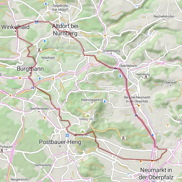
Embark on a road cycling adventure on the Harsdorf’s Schloss Route near Winkelhaid.
The Harsdorf’s Schloss Route is a 102 km road cycling route with an ascent of 962 meters. This challenging route will take you through picturesque landscapes and historical towns, offering a truly immersive cycling experience in Mittelfranken, Germany. With plenty of highlights and attractions along the way, this route promises to be an epic journey for experienced cyclists.
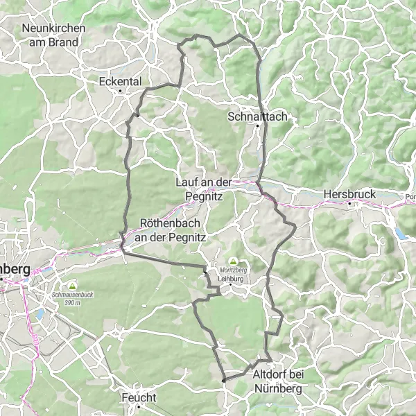
Take on challenging climbs and explore the beauty of the Fränkische Schweiz region.
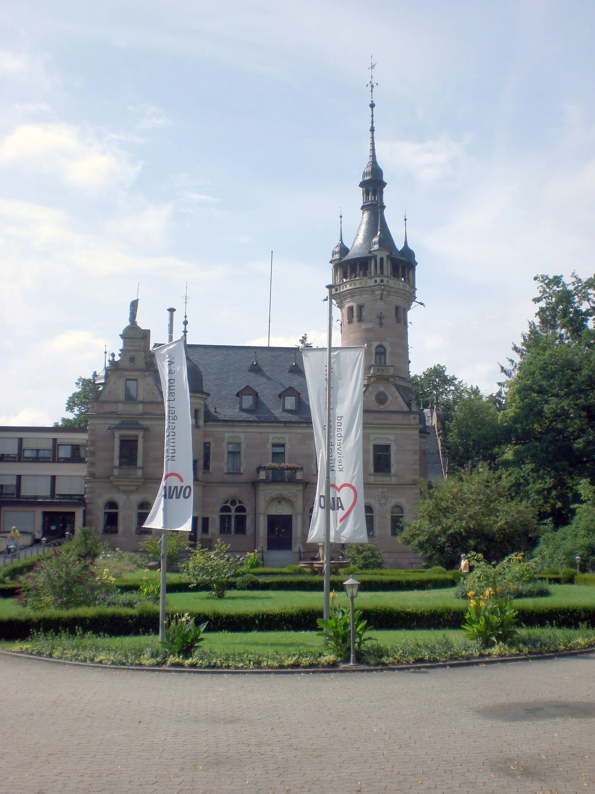
With a distance of 101 km and an ascent of 792 m, this road cycling route is ideal for those looking for a demanding challenge. Begin your journey in Fröschau and ride through picturesque landscapes and charming towns. Explore the historic town of Birkenlach, known for its well-preserved medieval architecture. Discover Barnsdorf, a quaint village nestled in the scenic countryside. Pause in Bühl and admire its beautiful surroundings and tranquil atmosphere. Ascend Kapsberg, a legendary climb that offers panoramic views. Admire the medieval charm of Barthelmesaurach and the 19th-century lock at Schleuse 71. Conclude your journey in Eichenbühl and soak in its captivating beauty before returning to Winkelhaid.
The Wendelstein Adventure
Embark on an exciting gravel cycling adventure and conquer Wendelstein.
With a distance of 49 km and an ascent of 425 m, this gravel cycling route takes you through diverse landscapes and historic towns. Cycle up Dreibrüderberg, a challenging climb that rewards you with breathtaking views over the region. Stop by Schleuse 51, a picturesque lock along the Rednitzhembach canal. Don't forget to visit the iconic Wendelstein, a majestic mountain that offers panoramic views from its summit.
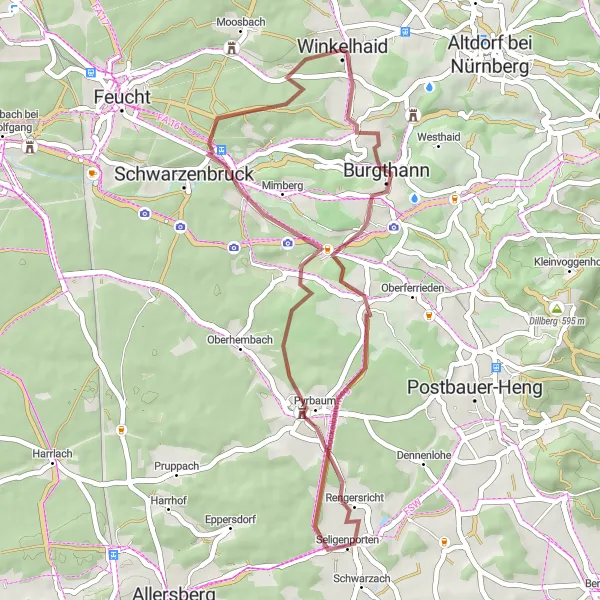
Embark on a thrilling gravel adventure through the Seligenporten route near Winkelhaid.
The Seligenporten Gravel Adventure is a 38 km route with an ascent of 430 meters. This gravel route will take you through scenic landscapes, peaceful nature, and charming villages. With several highlights along the way, including historical sites and stunning scenery, this route promises an immersive and exciting cycling experience in Mittelfranken, Germany.
The Fuchsmühle Loop
Cycle through scenic landscapes and discover the historic Fuchsmühle
With a distance of 49 km and an ascent of 500 m, this road cycling route takes you through picturesque villages and lush green fields. The highlight of this route is the Fuchsmühle, a historic mill that dates back many centuries. Feel the serenity as you ride along quiet country roads and enjoy the beautiful countryside of Mittelfranken.
Cycling routes nearby:


Nearby regions: