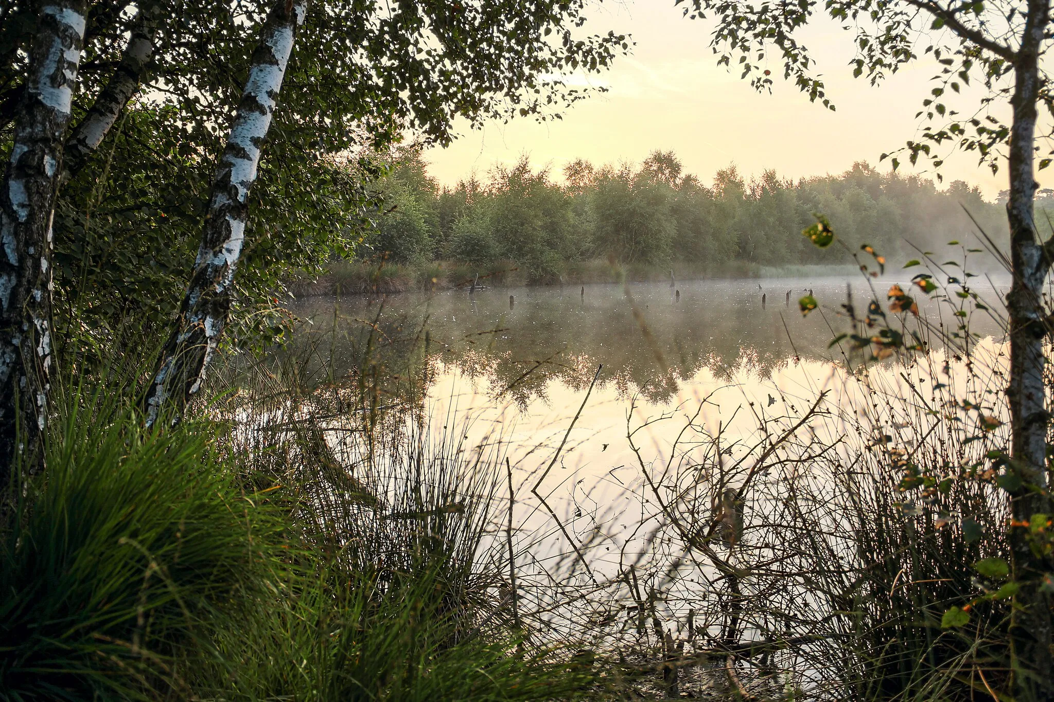
Nature's bounty for cyclists
Cycling routes from Nottuln
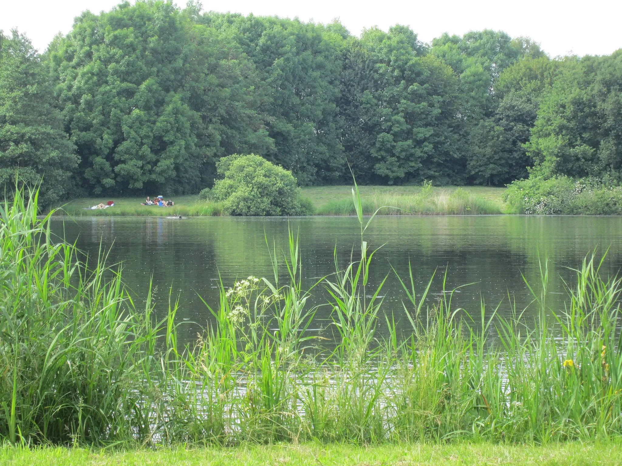
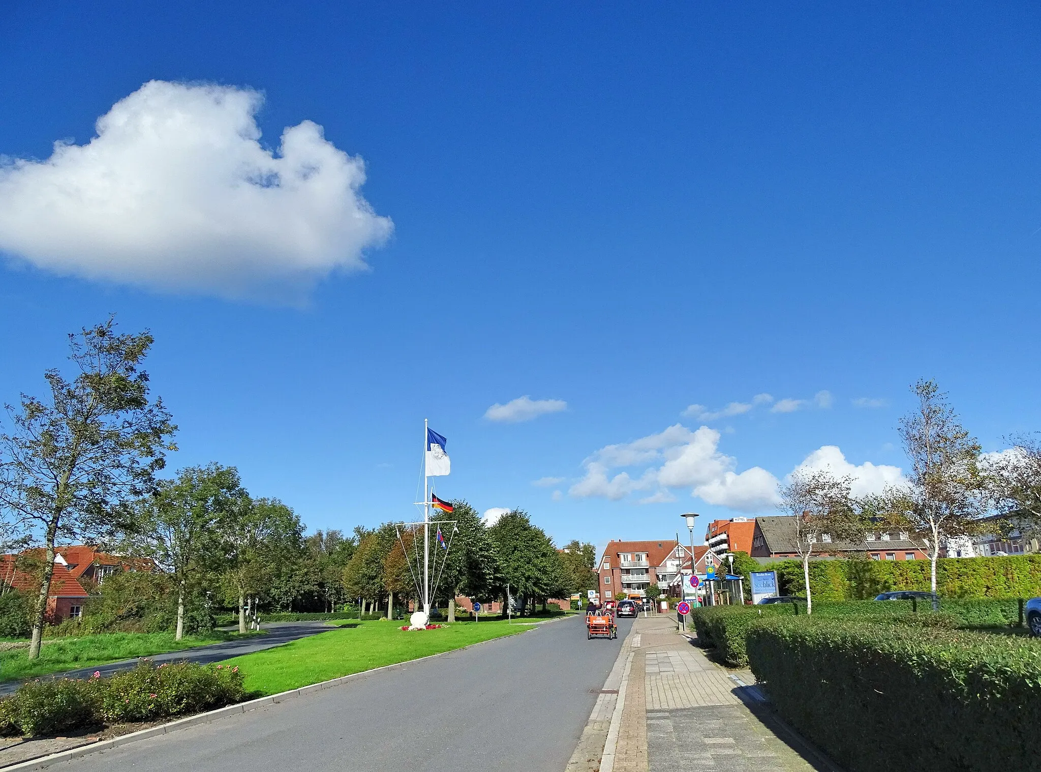
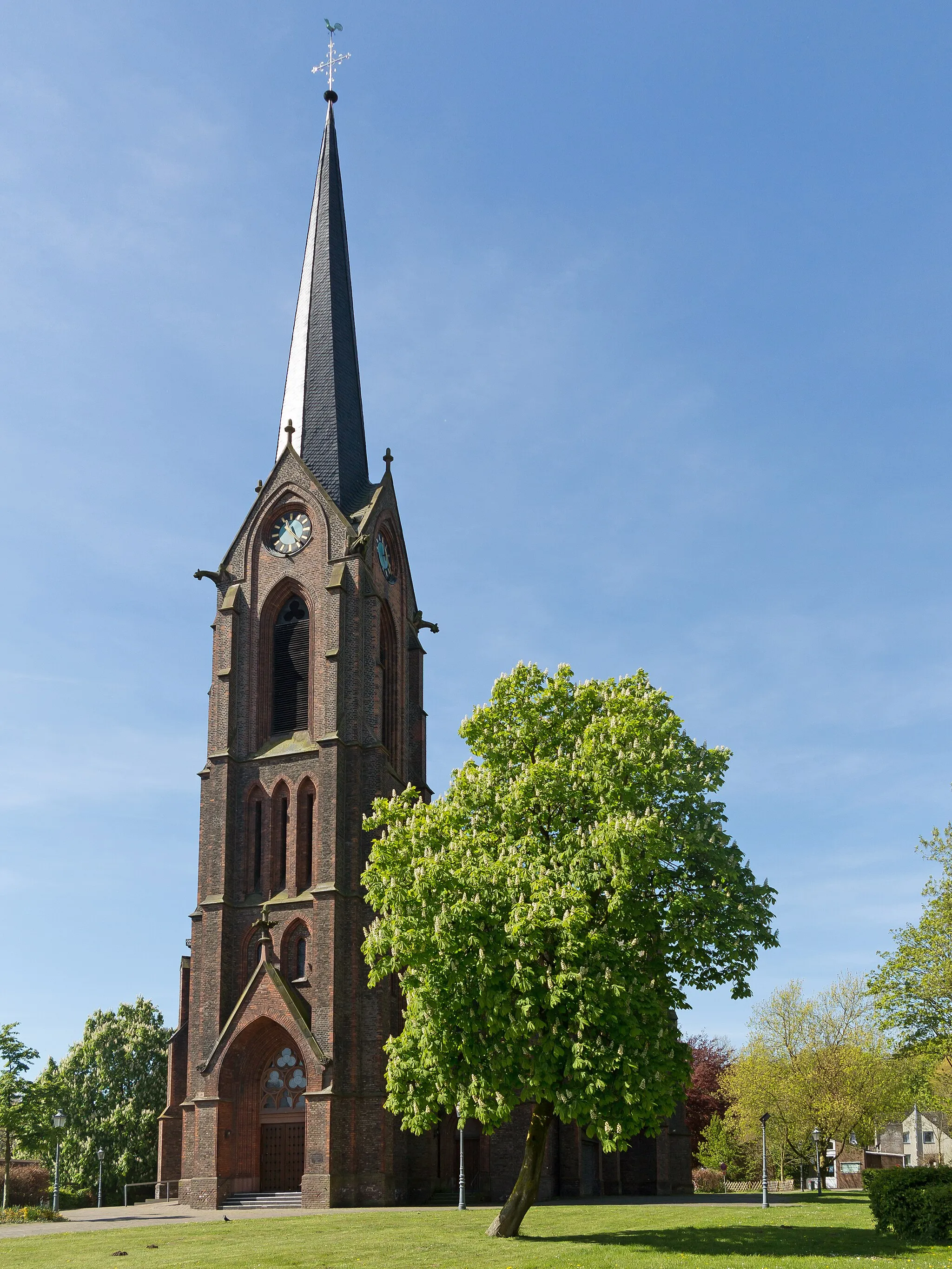
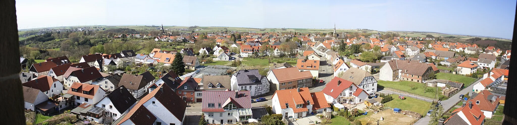
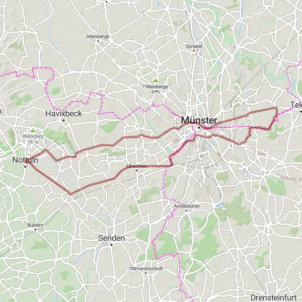
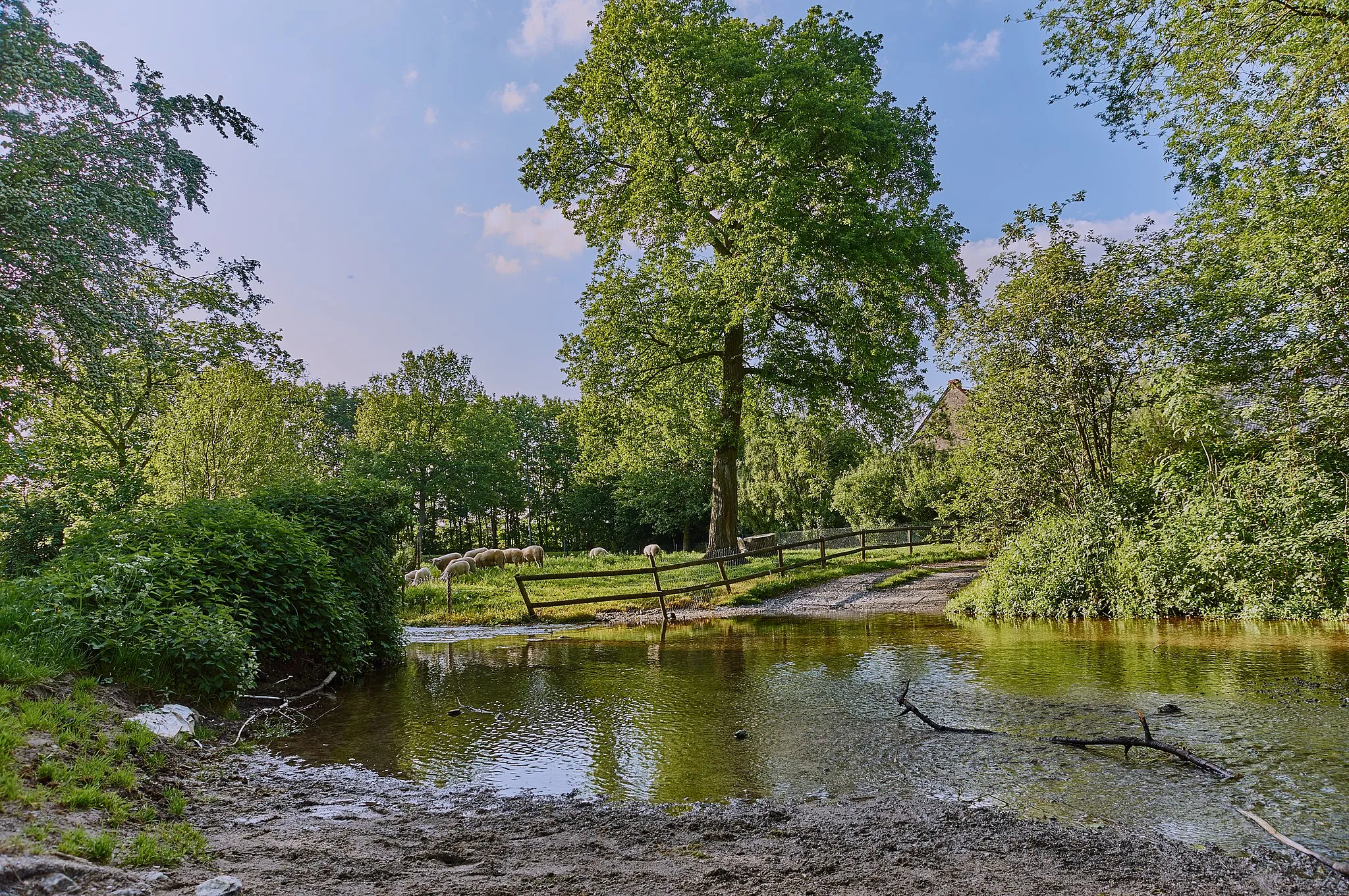
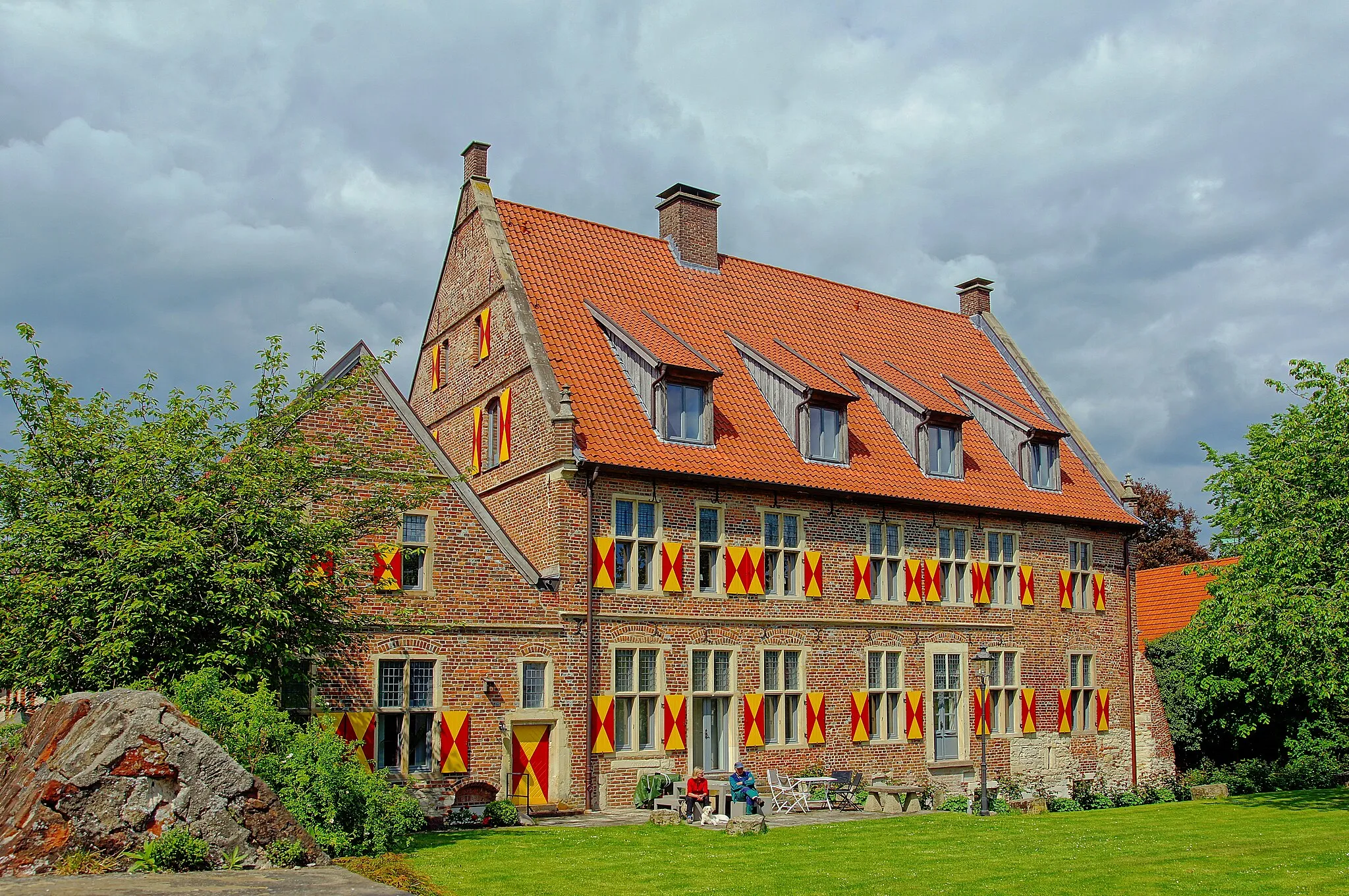
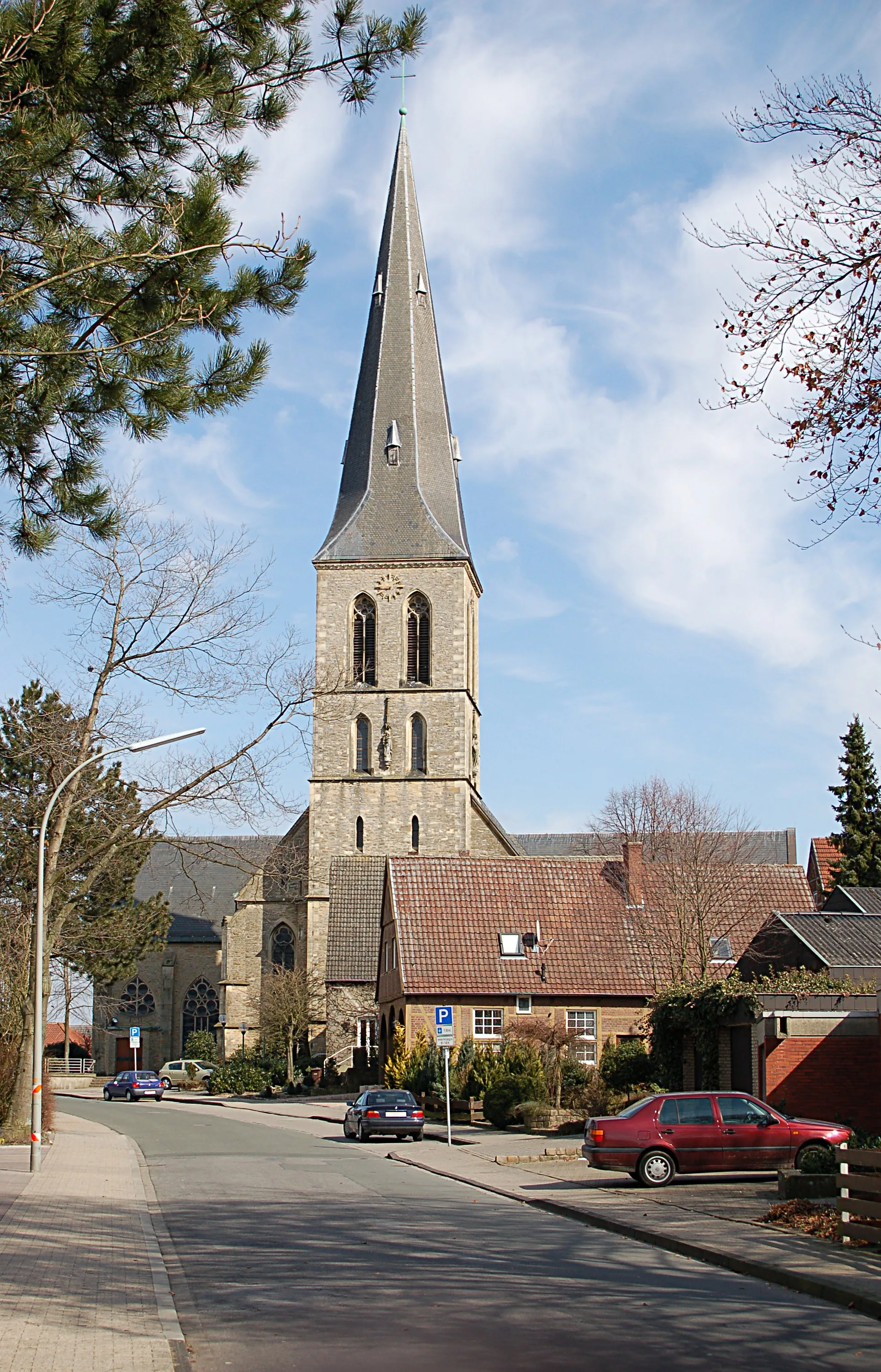
Nottuln, located in Münster, Germany, is a cyclist-friendly locality with diverse routes to explore. The town offers a mix of beautiful landscapes, including picturesque fields, charming forests, and idyllic lakes. Cyclists can ride on well-maintained roads and dedicated cycling paths, providing a safe and enjoyable experience. Nottuln is home to the Flinten Klettersteig, a well-known climbing spot that draws cyclists seeking a unique challenge. With its beautiful surroundings and cycling-friendly infrastructure, Nottuln is an excellent choice for cyclists of all abilities.
Embark on a journey through diverse natural landscapes of Nottuln and its surroundings
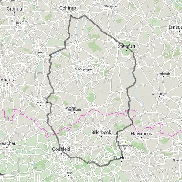
The Nature Discovery Ride is a 97-kilometer road cycling route that showcases the natural beauty of Nottuln and its surrounding areas. With an elevation gain of 354 meters, this route provides a moderate challenge suitable for well-trained amateurs. Experience diverse landscapes and immerse yourself in the serenity of nature as you pedal through picturesque scenery.
Scenic Gravel Tour from Nottuln
Explore the beautiful countryside of Nottuln on this gravel bike tour.
This gravel cycling route starting near Nottuln takes you through picturesque landscapes, quaint villages, and historical sites. With a distance of 51 km and an ascent of 126 m, it offers a moderate challenge for cyclists of all levels. The route is mainly on gravel roads, providing a unique experience of off-road cycling while enjoying the scenic beauty of the surroundings.
Embark on a challenging journey through the hills of Münster
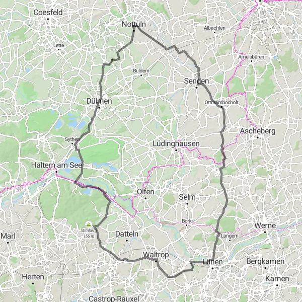
The Hilly Challenge route is designed for experienced cyclists seeking a demanding workout. With an ascent of 514 meters and a distance of 113 kilometers, this road cycling route offers a real test of endurance. Expect rolling hills, picturesque views, and a sense of accomplishment.
Enjoy a delightful road cycling experience near Nottuln.
This road cycling route near Nottuln offers a 35 km ride with an ascent of 75 m. Perfect for those who prefer smooth roads, this route combines scenic landscapes with charming villages. It provides an excellent opportunity to enjoy the tranquility of the area while getting some exercise.
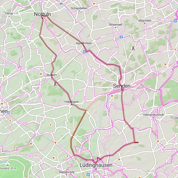
Immerse yourself in culture and history on this gravel bike tour near Nottuln.
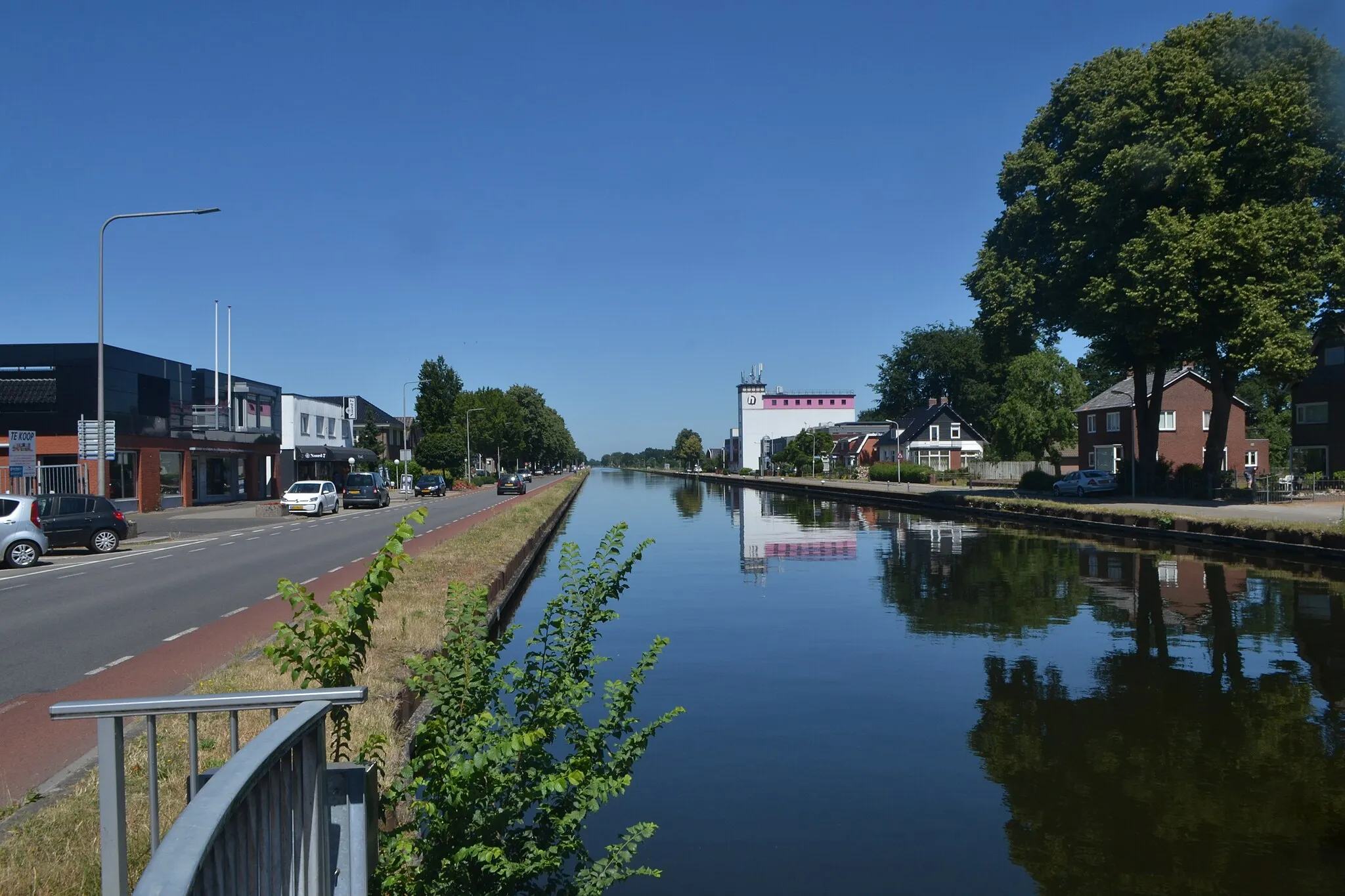
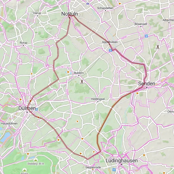
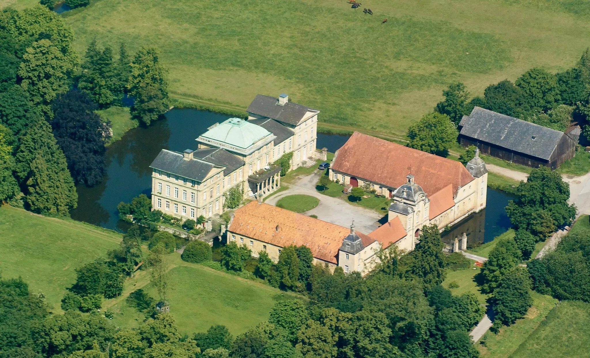
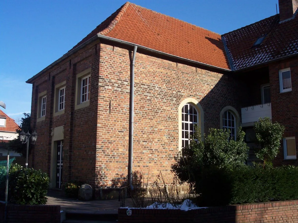
This gravel cycling route starting near Nottuln covers a distance of 52 km with an ascent of 84 m. It offers a combination of scenic landscapes and cultural attractions. Along the way, you'll have the opportunity to explore Senden, a town known for its picturesque streets and historical buildings. The highlight of the route is Vischering Castle, an architectural gem that dates back to the 13th century. Buldern, located at the 43 km mark, provides an idyllic setting for a break, with its charming surroundings and traditional ambiance.
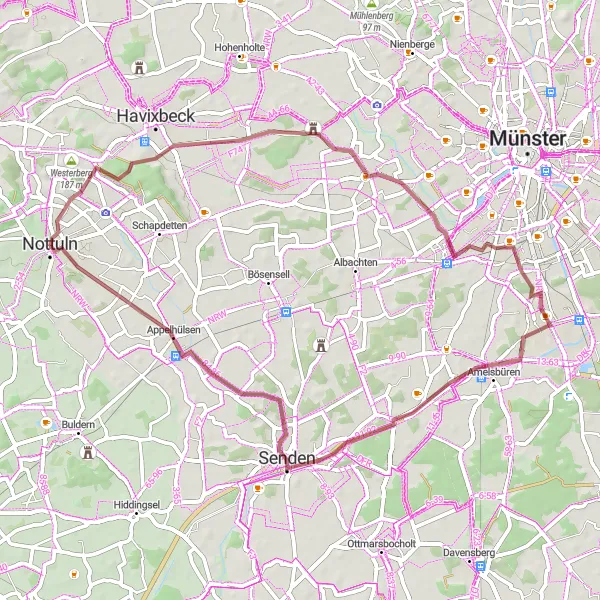
Embark on an off-road cycling adventure through Nottuln and beyond
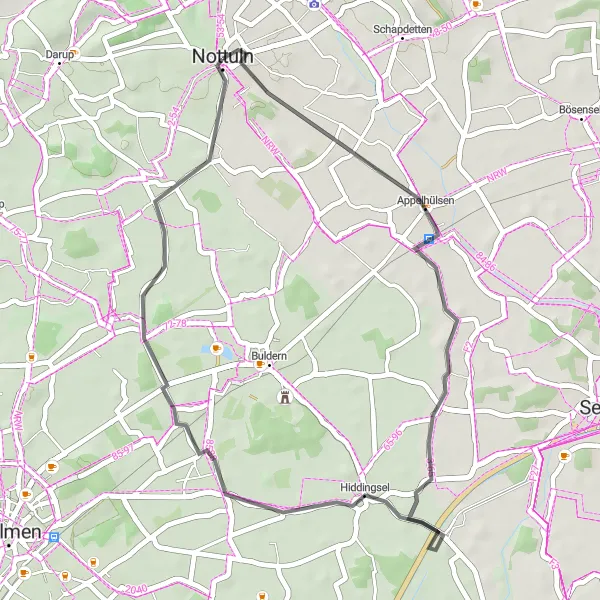
For those seeking an off-road cycling adventure, the Gravel Explorer route is perfect. This 55-kilometer long gravel route offers a thrilling experience for cyclists who enjoy exploring scenic trails. With an ascent of 236 meters, it provides a moderate challenge suitable for well-trained amateurs.
Heritage Ride
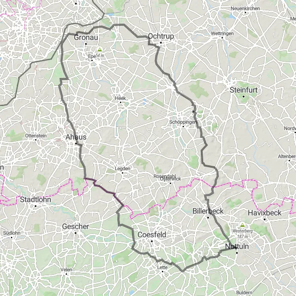
Cycle through historical landmarks and experience the rich heritage of Münsterland
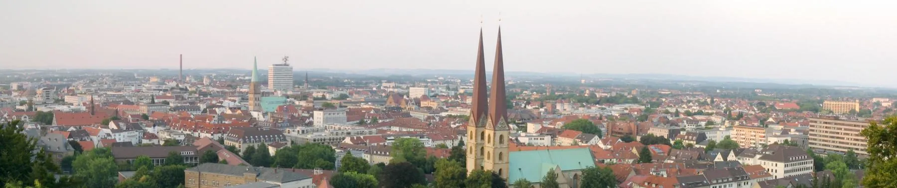
The Heritage Ride is a road cycling route that offers a glimpse into the history and culture of Münsterland. With a distance of 117 kilometers and an ascent of 462 meters, this route takes you through charming villages and past iconic landmarks.
The Southern Hills Route
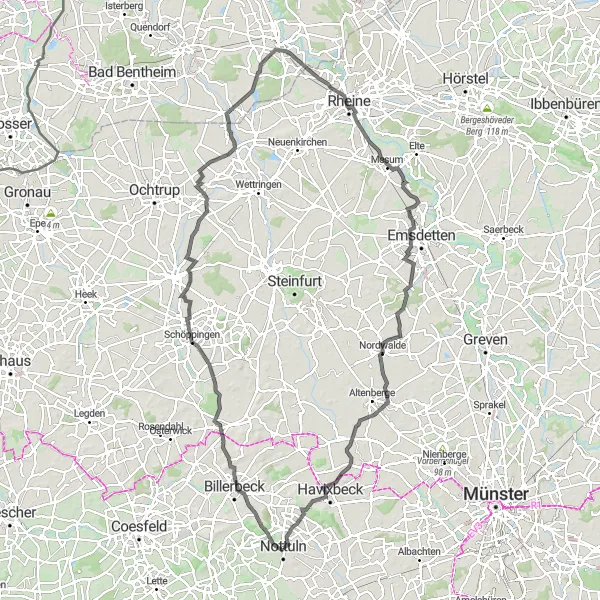
Cross through the scenic Südberge hills and enjoy breathtaking views
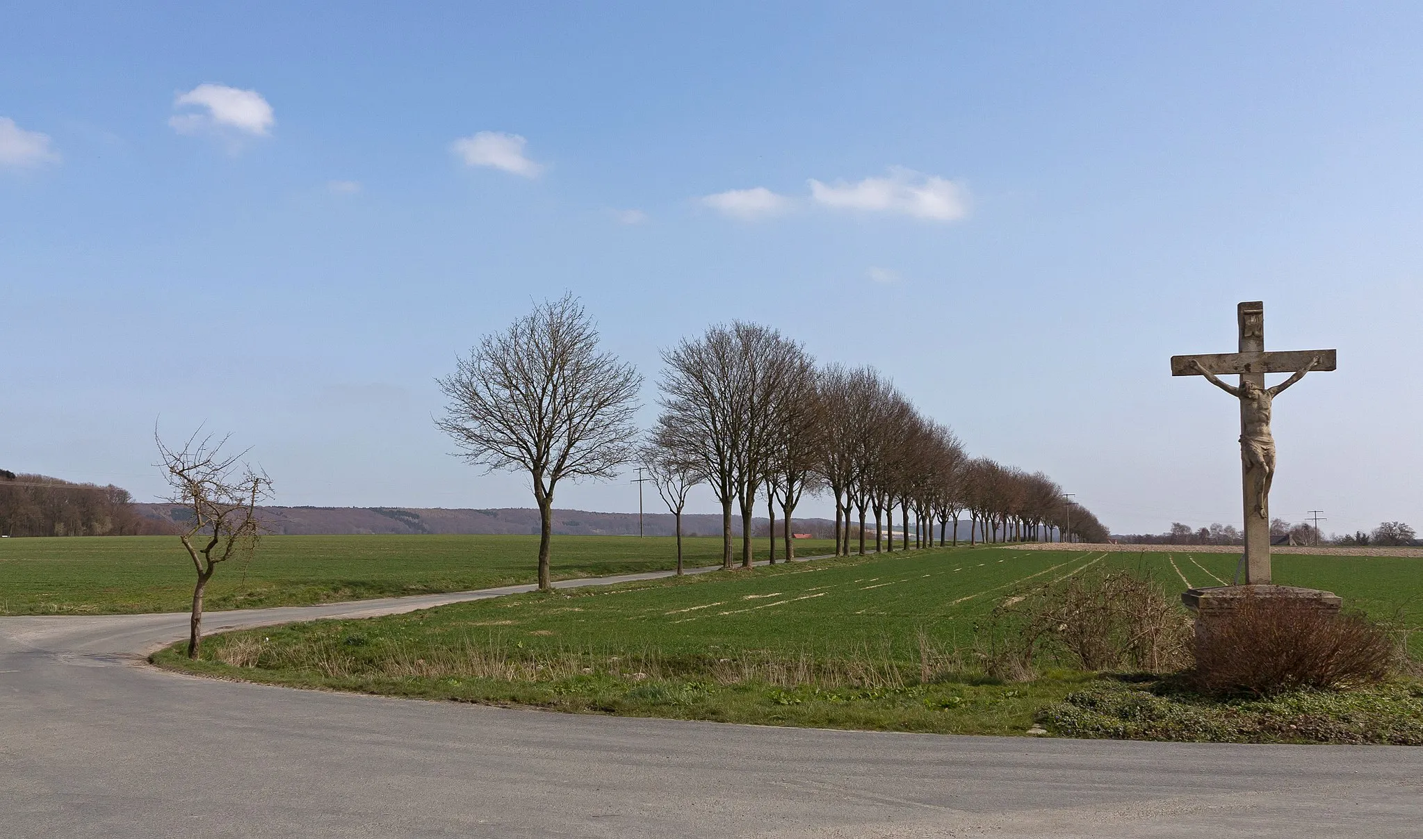
The Southern Hills Route takes you on a picturesque journey through the Südberge hills in Münster. With a total distance of 115 kilometers and an elevation gain of 392 meters, this road cycling route offers a challenging and rewarding experience for well-trained amateurs. As you ride through the stunning landscapes, you'll encounter various highlights along the way.

Discover the natural beauty of Nottuln while cycling on gravel roads.
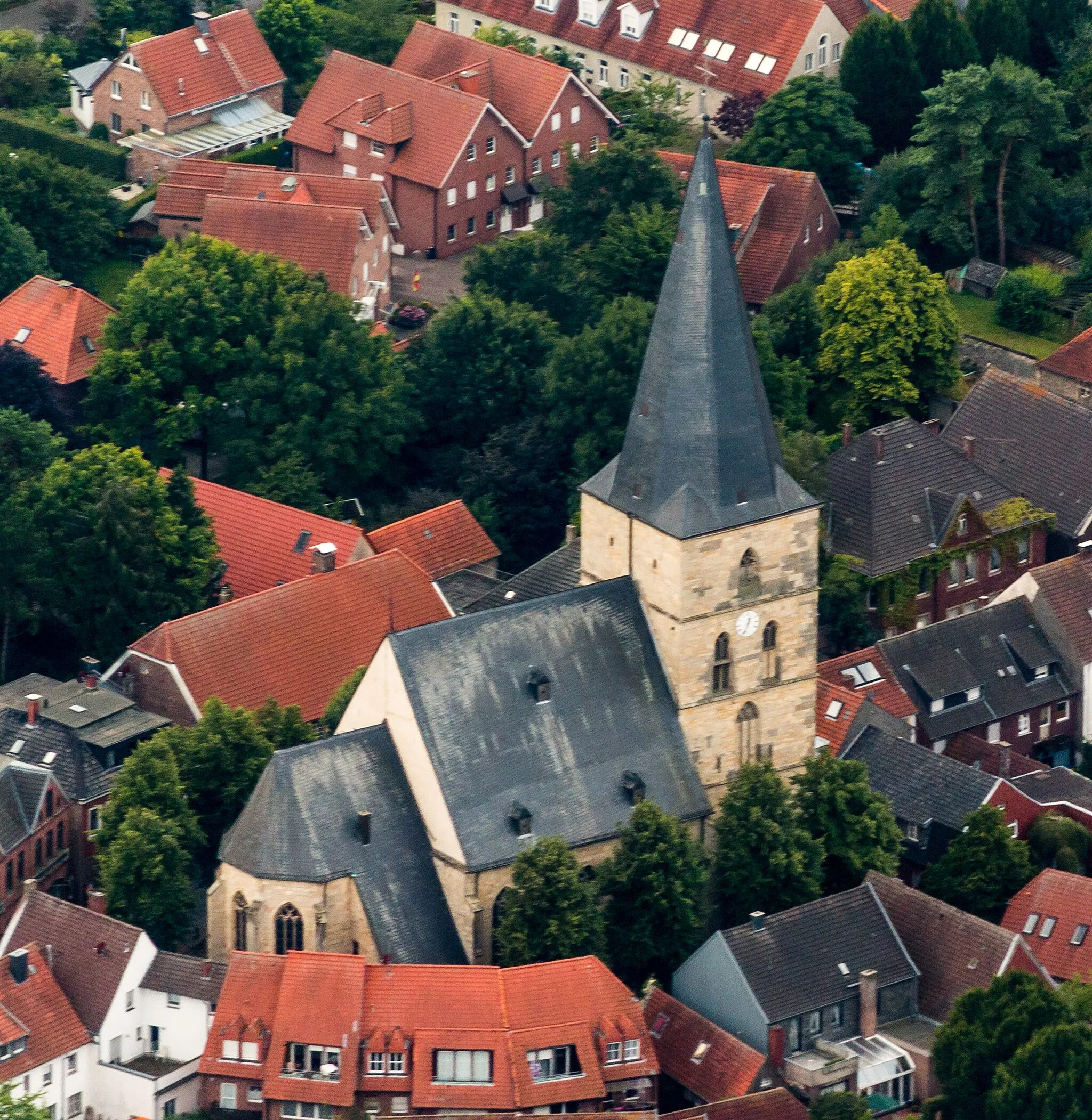
This challenging gravel route starting near Nottuln spans 68 km and features an ascent of 261 m. As you make your way through the stunning countryside, you will encounter highlights such as Luseberg, a hill offering picturesque views, and Kinderhaus, a village known for its rustic charm. Sudmühle, located at the 33 km mark, is a scenic spot for a break, surrounded by nature. The route culminates in Mecklenbeck, where you can visit the impressive Mecklenbeck Church and enjoy the beauty of Mecklenbeck Park.
Embark on a challenging gravel adventure filled with historical discoveries.
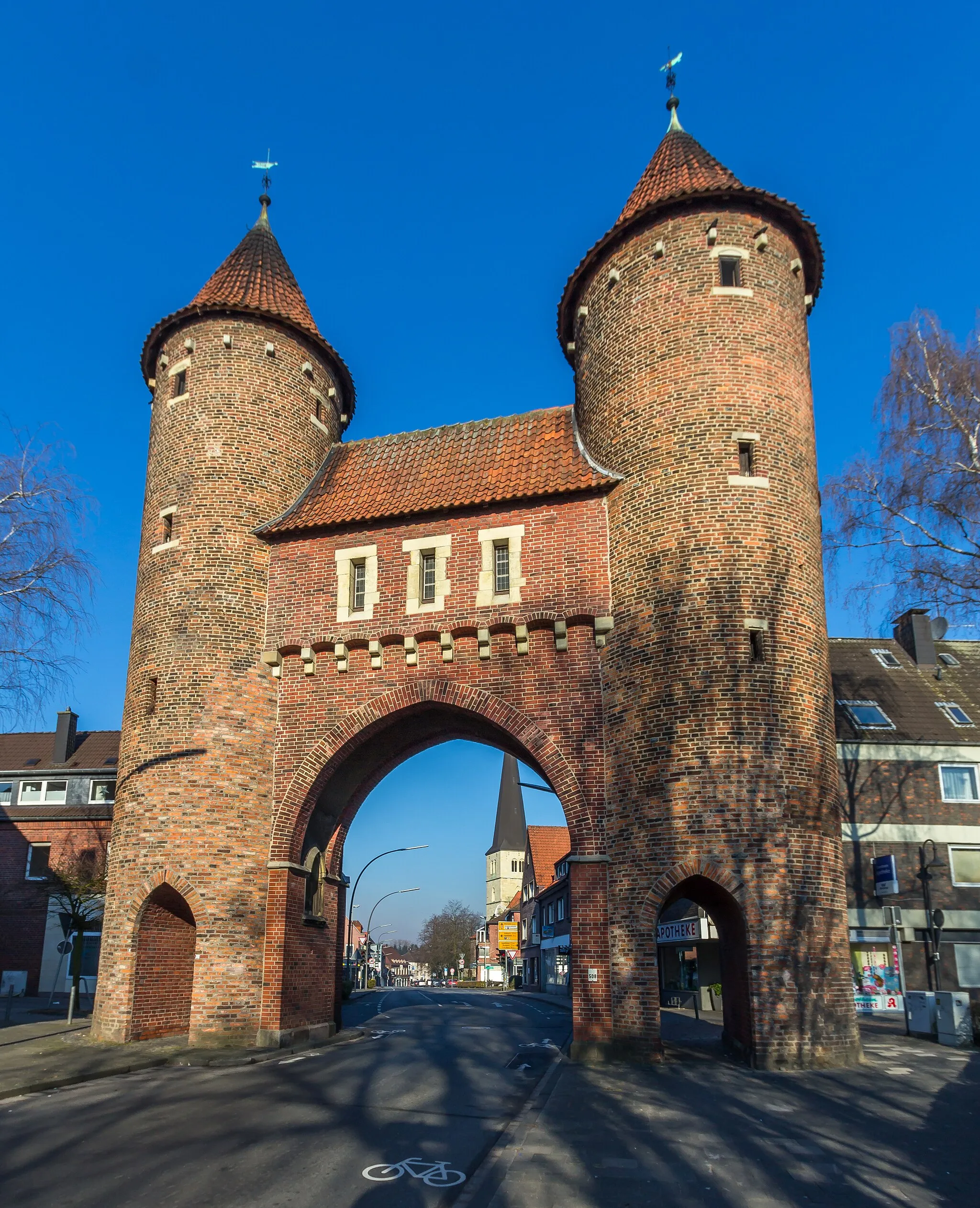
This challenging gravel cycling route covers a distance of 67 km and includes an ascent of 181 m. It offers an exciting mix of natural scenery, quaint villages, and historical sites. The route takes you through Nottuln and Appelhülsen before leading you to Sentruper Höhe, where you can admire panoramic views. Along the way, you'll pass Trafostation Werk 883, an intriguing industrial landmark. The highlight of the route is Mecklenbeck, which boasts the stunning edifice of Vischering Castle.
Cycling routes nearby:
Nearby regions: