Cycling heaven in Niederbayern with scenic landscapes.
Cycling routes from Pfarrkirchen
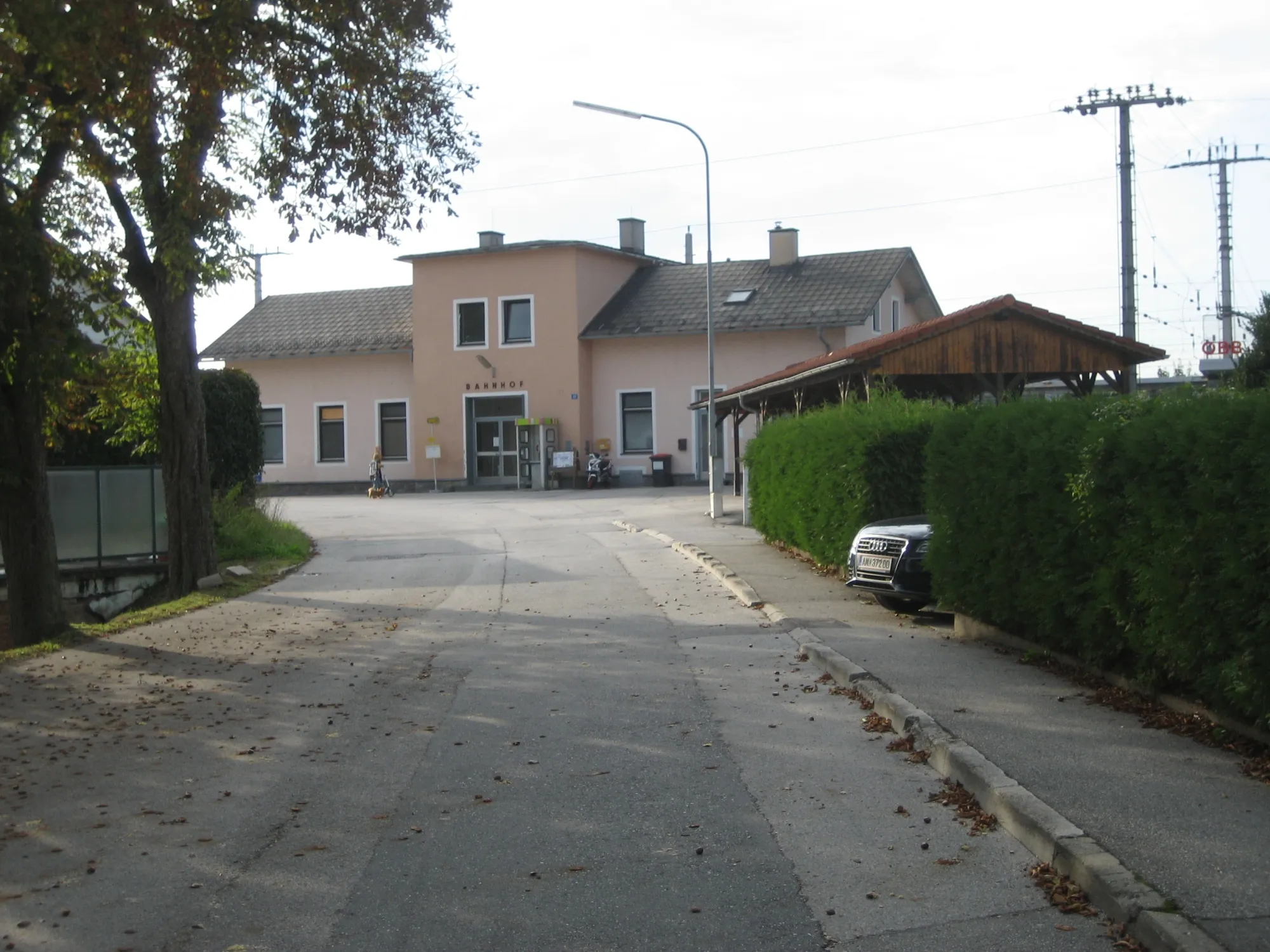
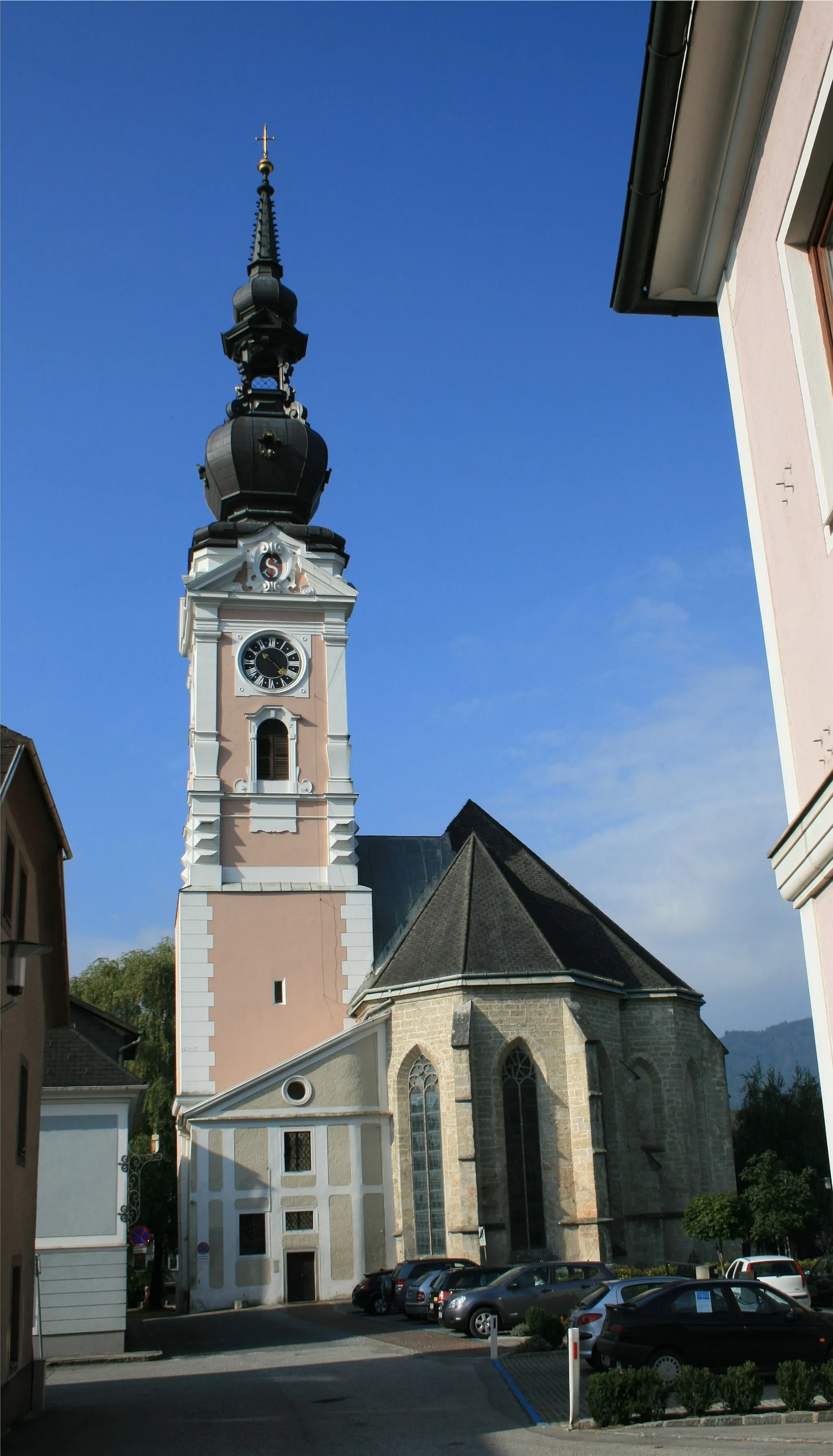
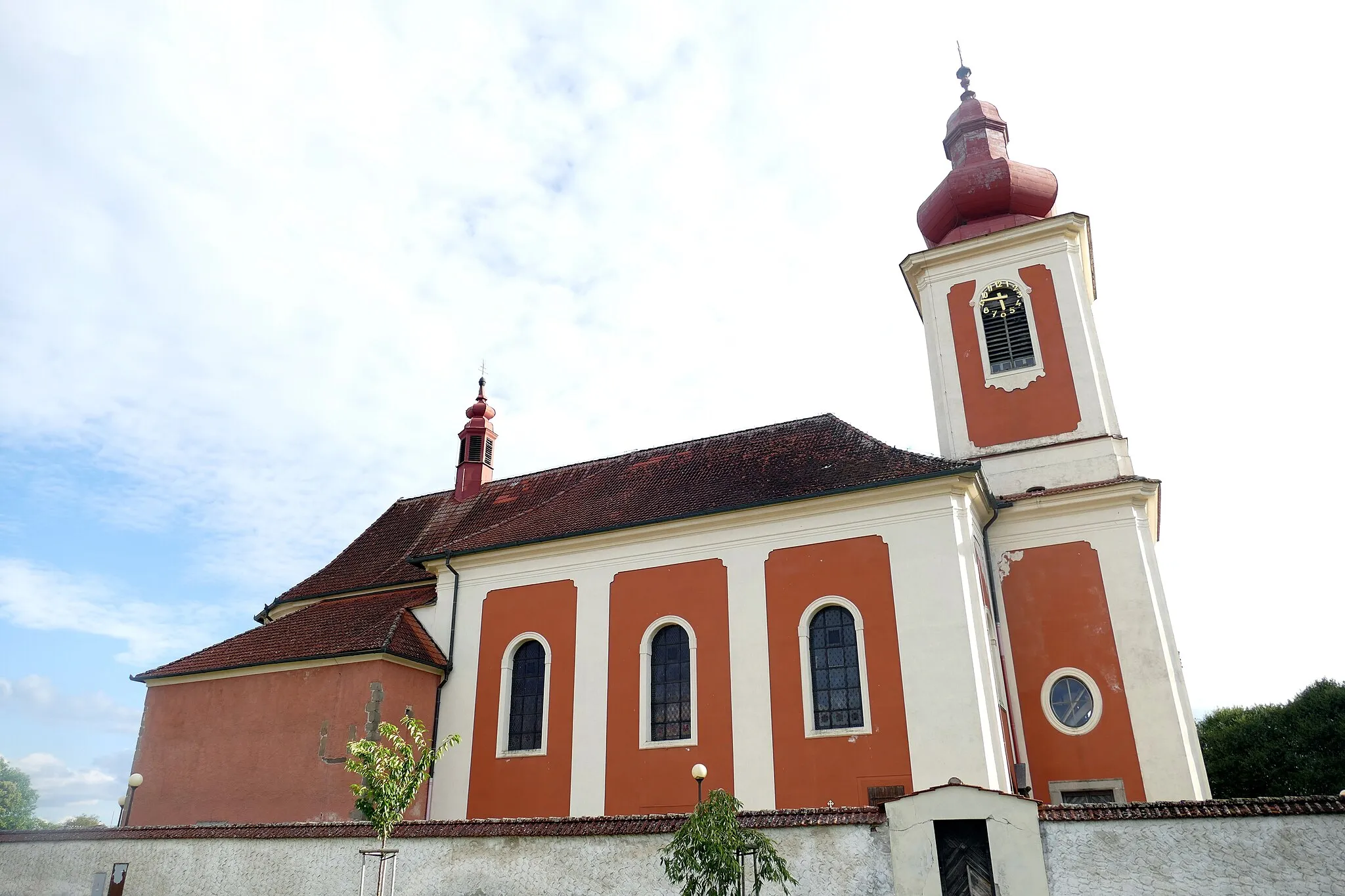
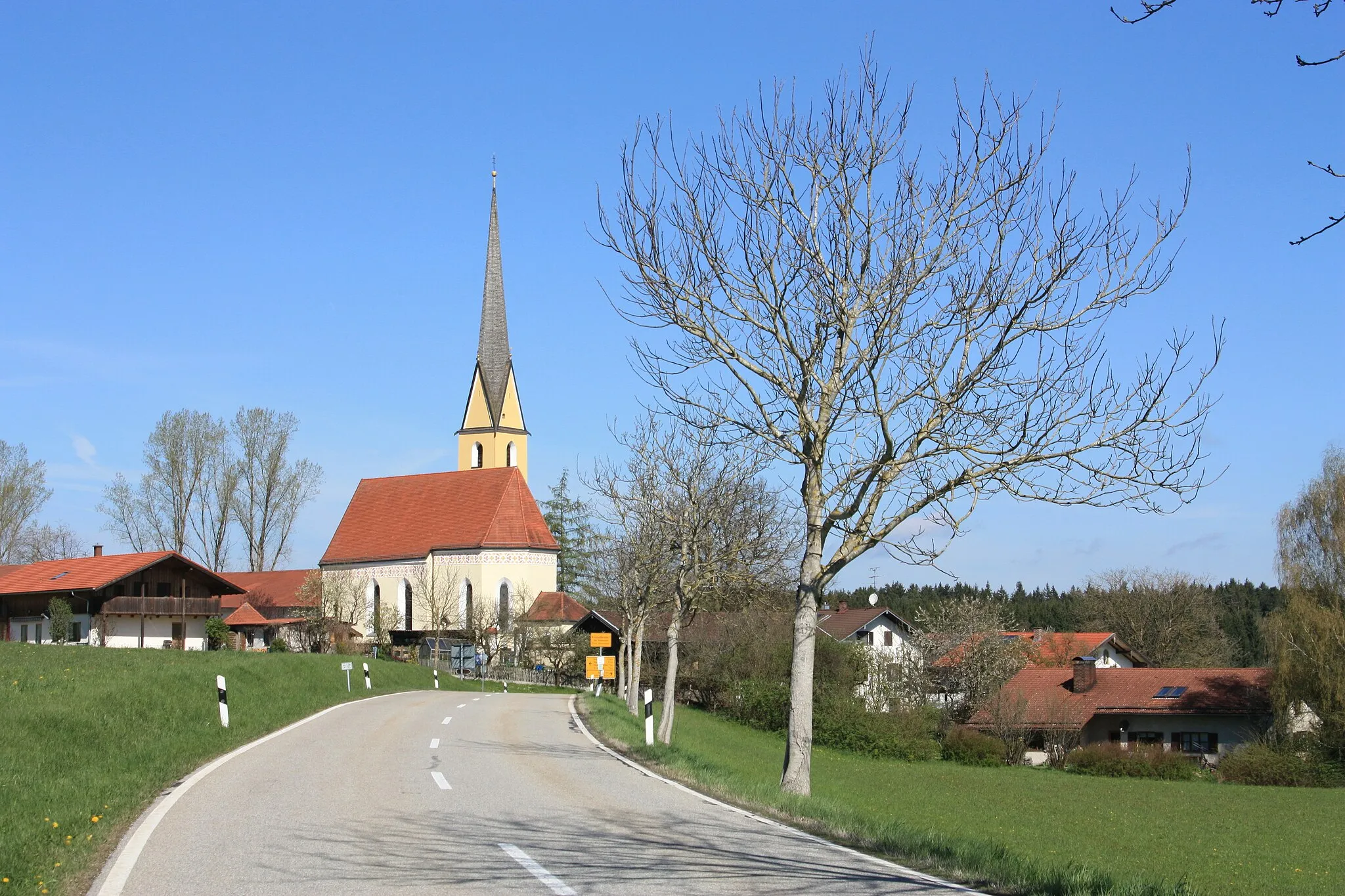
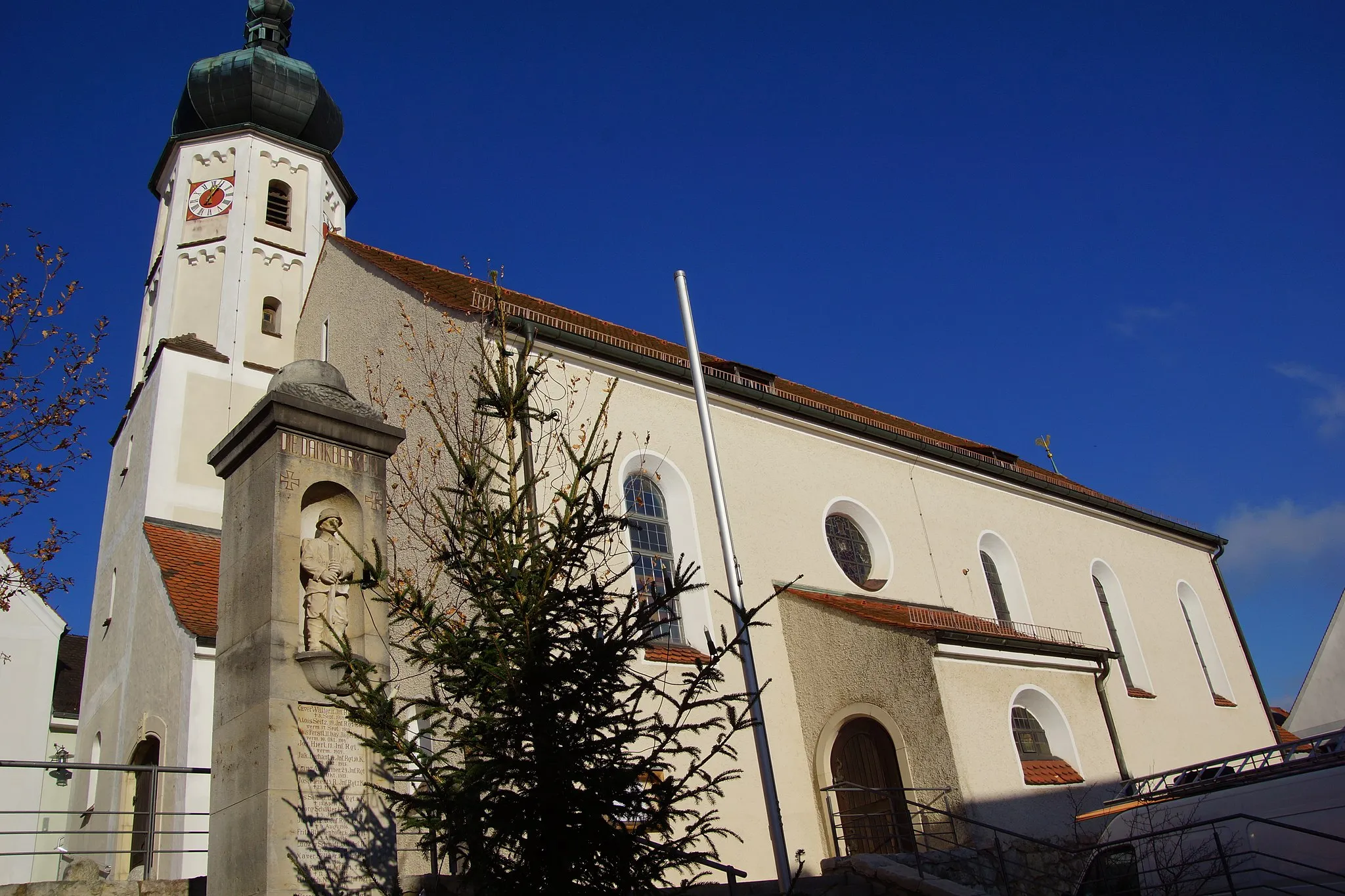
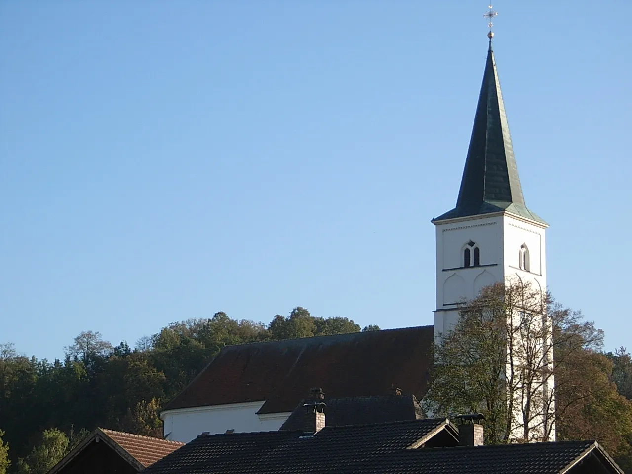
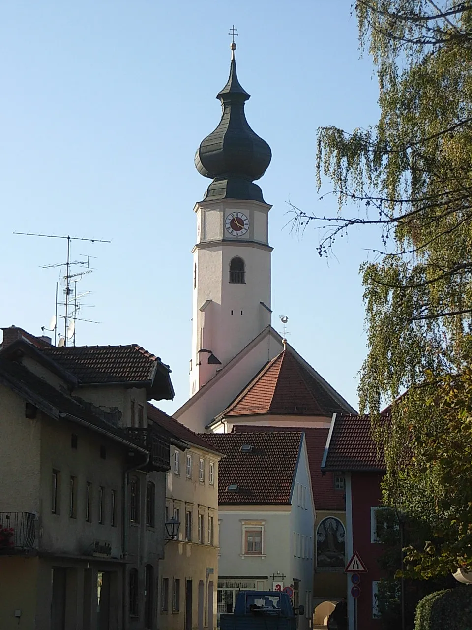
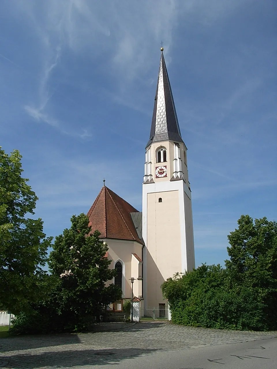
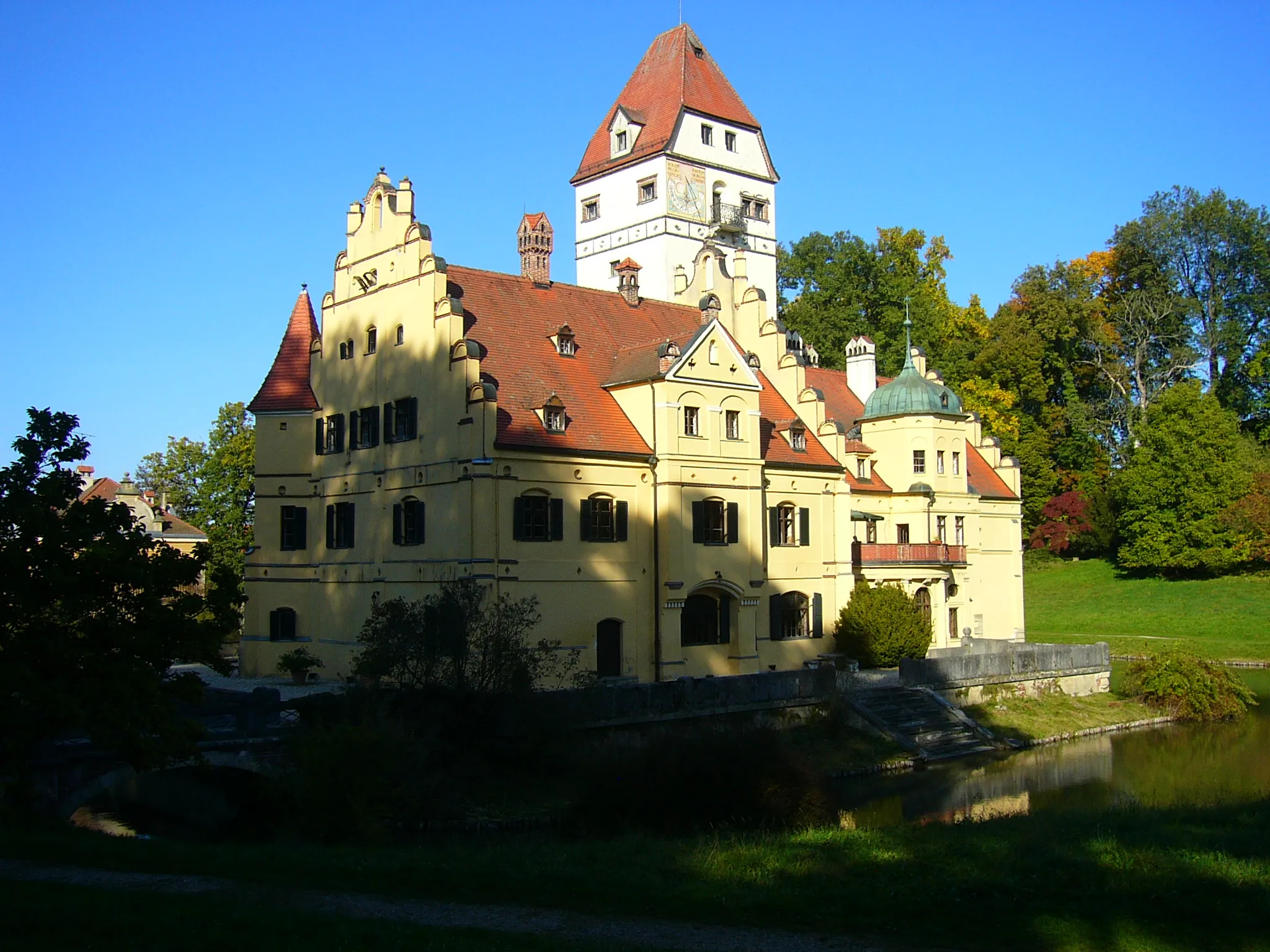
Pfarrkirchen in Niederbayern, Germany, is a delightful town for both road and gravel cyclists. The region offers a mix of flat and hilly terrain, making it suitable for cyclists of various skill levels. Cyclists can explore the scenic countryside and picturesque villages while enjoying well-maintained roads. Worth visiting is Johann-Poeschl-Radweg, a popular cycling route that takes cyclists through beautiful landscapes. Pfarrkirchen may not be famous for any legendary climbs, but its cycling-friendly atmosphere and picturesque surroundings make it a great choice for a cycling adventure.
Embark on an exhilarating road cycling adventure and discover the hidden beauty of Pfarrkirchen and its surroundings.
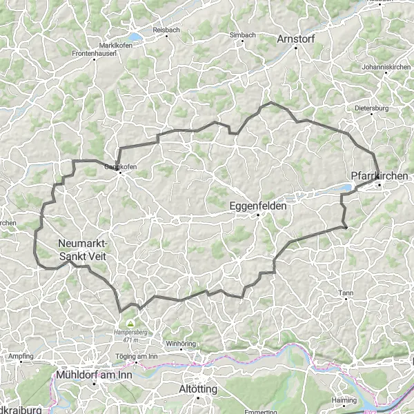
Get ready for a thrilling 113-kilometer road cycling adventure that will take you on a journey through diverse landscapes and charming villages. With an ascent of 1301 meters, this route offers a challenging ride perfect for experienced cyclists seeking new adventures. Along the way, don't miss the opportunity to explore Postmünster, where you can admire its historical buildings and delightful streetscape. Wurmannsquick awaits with its scenic views, and Pleiskirchen enchants visitors with its picturesque countryside. Schönberg offers a relaxing ambiance, while Gangkofen boasts rich history and cultural heritage. Diepoltskirchen, Schönau, and Lerbing serve as beautiful checkpoints until you return to Pfarrkirchen, carrying exceptional memories of this road cycling exploration.
Saddle up and embark on a scenic road cycling journey passing through charming villages near Pfarrkirchen.
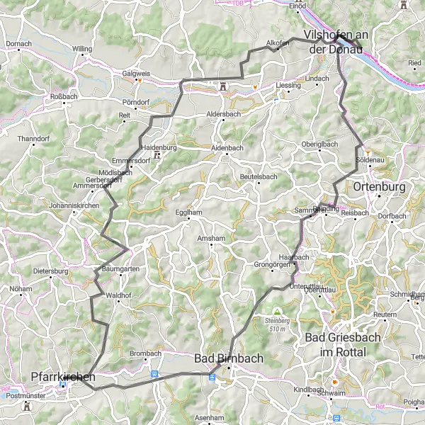
With a distance of 91 kilometers and an ascent of 918 meters, this road cycling route promises an exciting journey through picturesque countryside and welcoming villages. Starting near Pfarrkirchen, you'll pass through Peterskirchen, a small village known for its historical buildings and rich cultural heritage. Explore Emmersdorf with its idyllic atmosphere and enjoy the tranquility of Kriestorf as you pedal through. Vilshofen an der Donau awaits with its captivating architecture and charm, while Haarbach enchants visitors with its scenic vistas. But the journey doesn't end there - experience the majestic views from Schöne Aussicht and unwind in the thermal baths of Bad Birnbach. Untergrasensee offers serenity before returning to your starting point.

Discover the scenic landscapes and charming towns on this gravel adventure starting near Pfarrkirchen.
Embark on a 47-kilometer gravel adventure that takes you through picturesque countryside near Pfarrkirchen. With a total ascent of 469 meters, this route offers a moderate challenge for cycling enthusiasts. Along the way, you'll encounter highlights such as the beautiful views from Schöne Aussicht, the relaxing thermal baths in Bad Birnbach, and the serene surroundings of Untergrasensee. This gravel route allows you to explore lesser-known areas and enjoy a more off-the-beaten-path cycling experience.

Immerse yourself in the rich history and scenic beauty of the region near Pfarrkirchen.
The Past and Present route is a captivating journey through the region's rich history and stunning landscapes. With a distance of 46 km and an ascent of 415 m, this road route offers a moderate and scenic cycling experience suitable for all skill levels. You will cycle through charming villages, pass by historical landmarks, and enjoy breathtaking views of the Bavarian countryside. This route provides the perfect balance between cultural exploration and outdoor adventure.
Embark on an epic road cycling journey starting from Pfarrkirchen
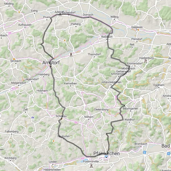
Discover the stunning landscapes surrounding Pfarrkirchen with the Pfarrkirchen Road Adventure. This 74-kilometer road cycling route takes you through picturesque villages and scenic countryside, offering breathtaking views along the way. With a challenging ascent of 801 meters, this route is best suited for well-trained amateur cyclists seeking a thrilling challenge, with a difficulty rating of 4. Experience the beauty of nature and immerse yourself in the local culture as you visit highlights including Postmünster, Schönau, Eichendorf, Johanniskirchen, and Pfarrkirchen. Each highlight is worth a stop, scoring a rating of 4, offering interesting historical sites and delightful landscapes.
Embark on a 69-kilometer gravel adventure showcasing the scenic beauty of Triftern and its surrounding areas.
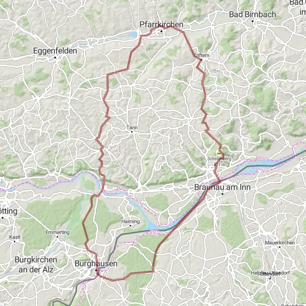
This 69-kilometer gravel route offers a mix of natural beauty, charming rural landscapes, and hidden gems. With a total ascent of 607 meters, this moderate-level ride starting near Pfarrkirchen lets you explore the lesser-known areas of Triftern countryside. The route includes highlights such as Triftern itself, where you can immerse yourself in the tranquility of the rural surroundings, the picturesque Stubenberg with its charming architecture, and the idyllic village of Simbach am Inn. As you cycle through Seibersdorf and Tann, take a moment to enjoy the peacefulness of these locations, surrounded by nature. Walburgskirchen will captivate you with its traditional charm before reaching the endpoint of this memorable gravel adventure.
Embark on a scenic road cycling adventure starting near Pfarrkirchen and explore the varied landscapes of the region.
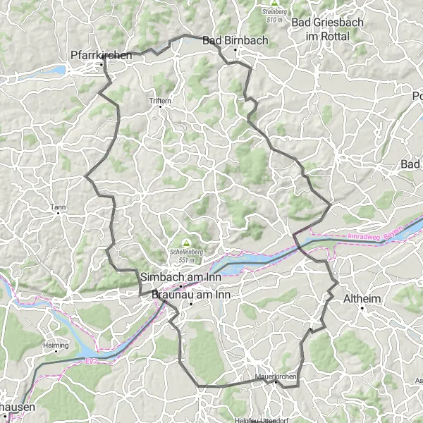
Covering a distance of 102 kilometers with an ascent of 952 meters, this road cycling route offers a challenging yet rewarding experience. The route takes you through diverse terrain, including hills, picturesque villages, and serene countryside. Highlights along the way include Brombach viewpoint, offering panoramic panoramic views, Kößlarn with its charming architecture, and Mauerkirchen, a historic town known for its cultural heritage. With a mix of natural beauty and cultural gems, this road cycling exploration near Pfarrkirchen guarantees an unforgettable experience showcasing the region's richness.
The Ultimate Challenge
Embark on a legendary cycling adventure through challenging terrains and iconic landmarks near Pfarrkirchen.
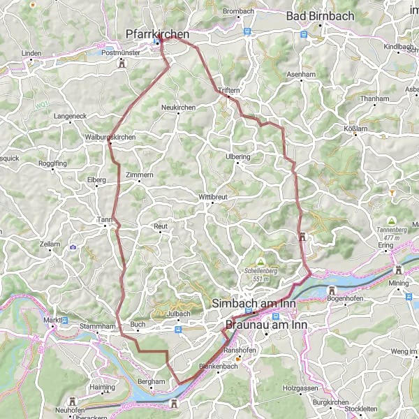
The Ultimate Challenge is a legendary cycling route that takes you through challenging terrains and iconic landmarks near Pfarrkirchen. With a distance of 92 km and an ascent of 1140 m, this gravel route is designed for experienced and adventurous cyclists looking for a thrilling and unforgettable experience. You will conquer epic climbs, brave rugged trails, and witness breathtaking views from the top of the region's famous hills. The difficulty level of this route is challenging and requires a high level of fitness and bike handling skills.
Go off-road on this exciting gravel route near Pfarrkirchen
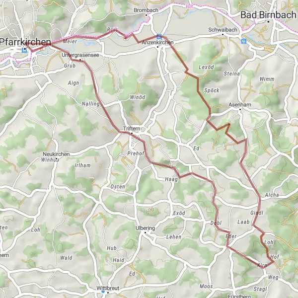
Embark on an off-road adventure near Pfarrkirchen with the Triftern Gravel Route. This 42-kilometer route is perfect for gravel enthusiasts, providing a unique and exhilarating cycling experience. With a total ascent of 561 meters, cyclists will navigate through scenic landscapes and charming villages. The route offers a moderate challenge suitable for well-trained amateurs, with a difficulty rating of 3. Experience the beauty of nature and explore highlights such as Triftern, Asenham, and Anzenkirchen along the way. Each highlight is worth a visit, scoring a rating of 3, offering interesting insights into the local culture and history.
The Romantic Route

Cycle through picturesque villages and scenic landscapes along the meandering Rottal river.
The Romantic Route is a delightful cycling route that takes you through the charming countryside of Niederbayern. With a total distance of 83 km and an ascent of 776 m, this road route offers a perfect balance of exertion and relaxation. The scenic views along the meandering Rottal river and the idyllic villages you pass through make this a truly enchanting experience. The difficulty level of this route is moderate, suitable for experienced cyclists and very well-trained amateurs.
Cycling routes nearby:


Nearby regions: