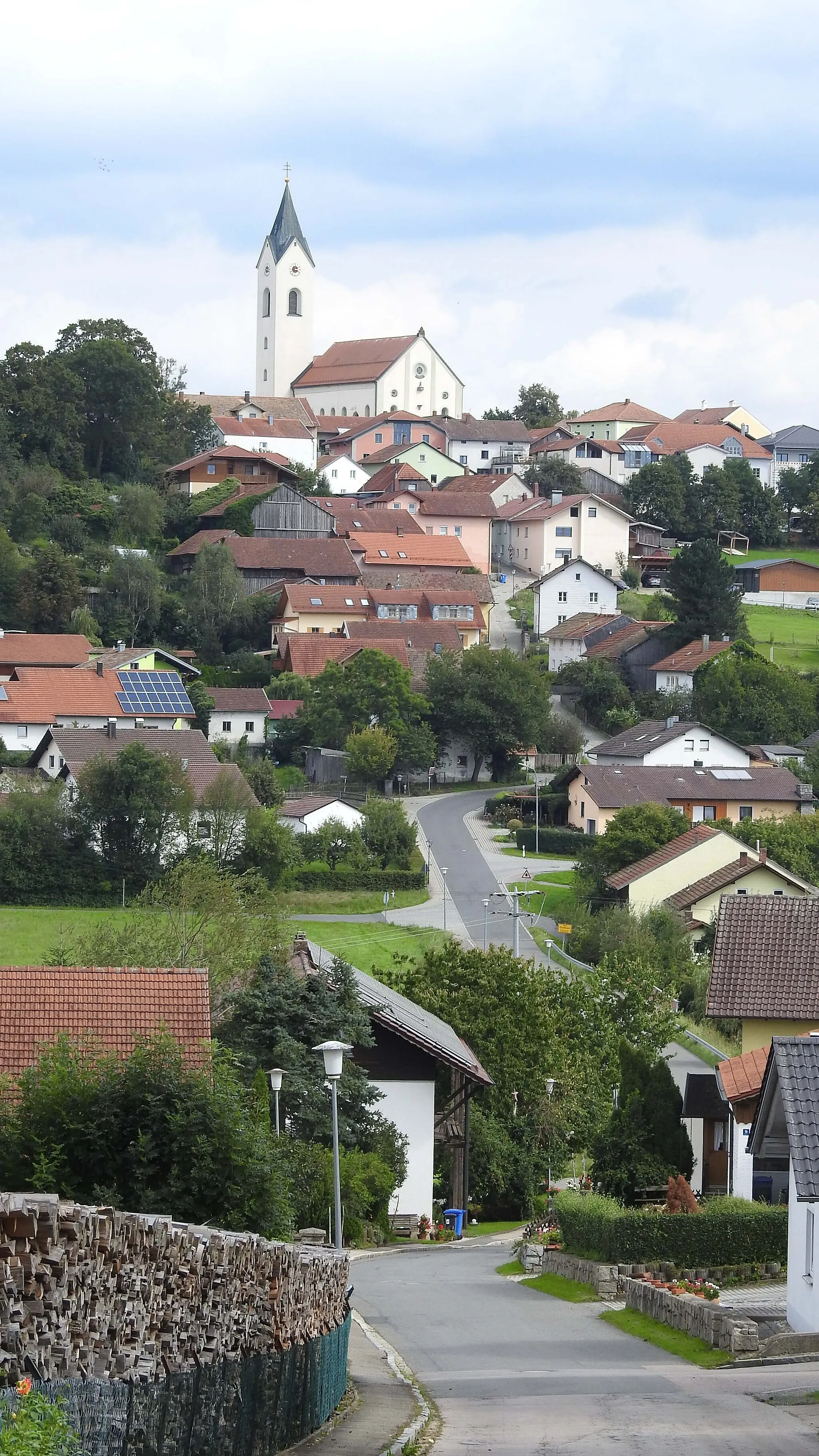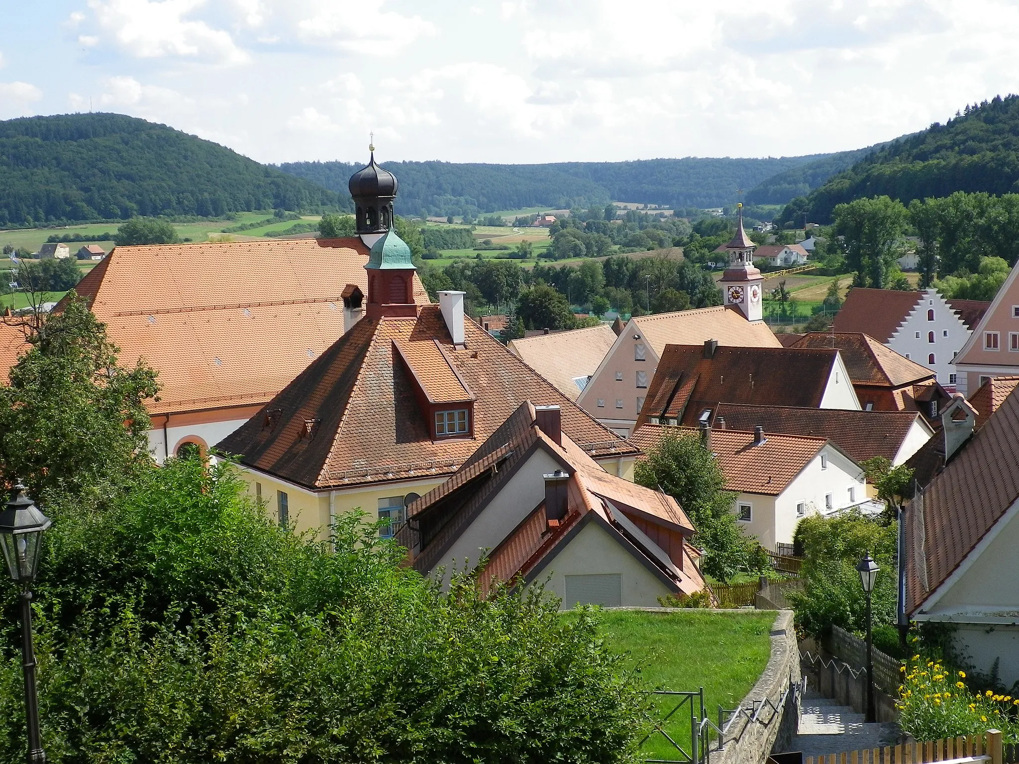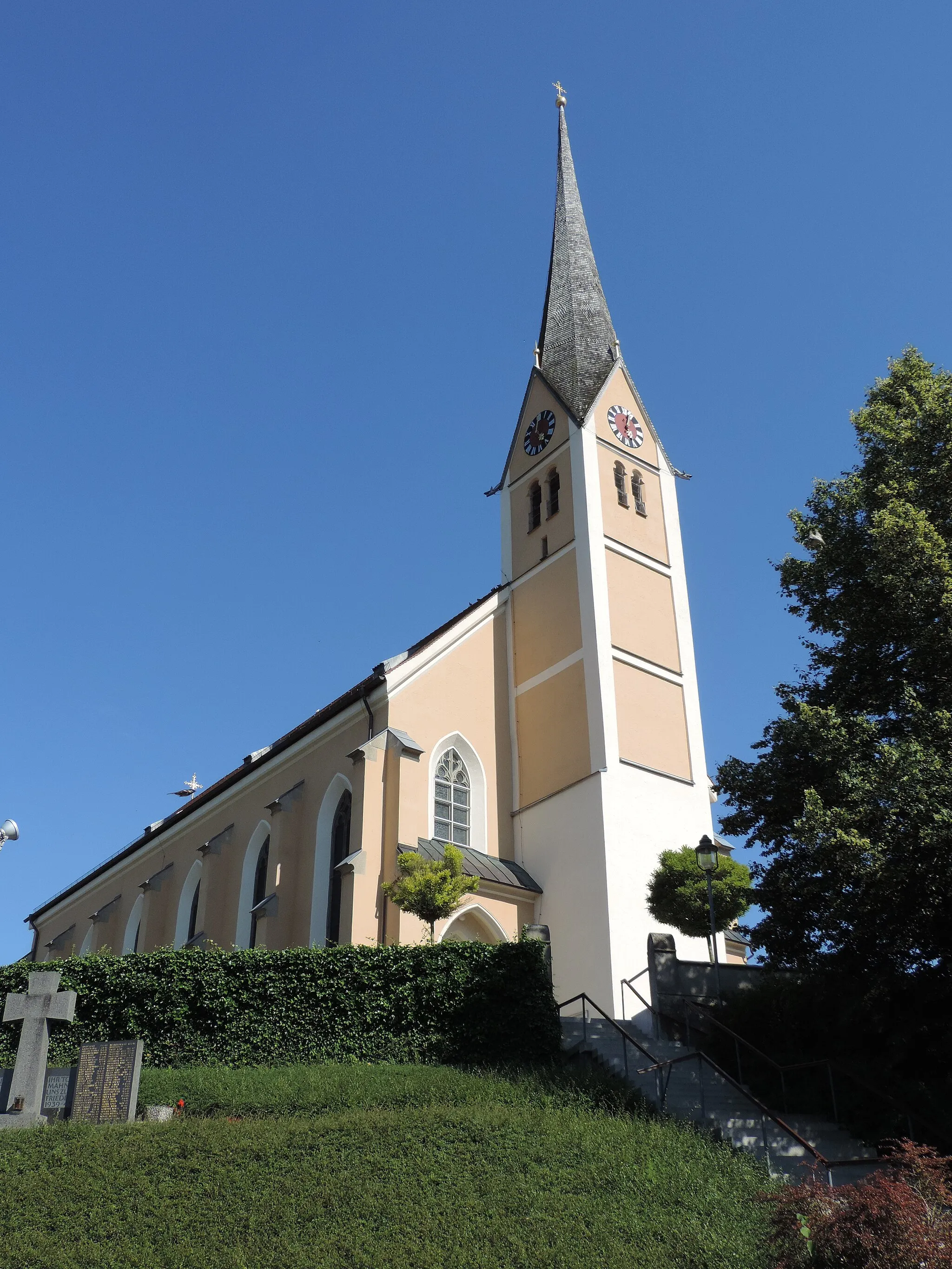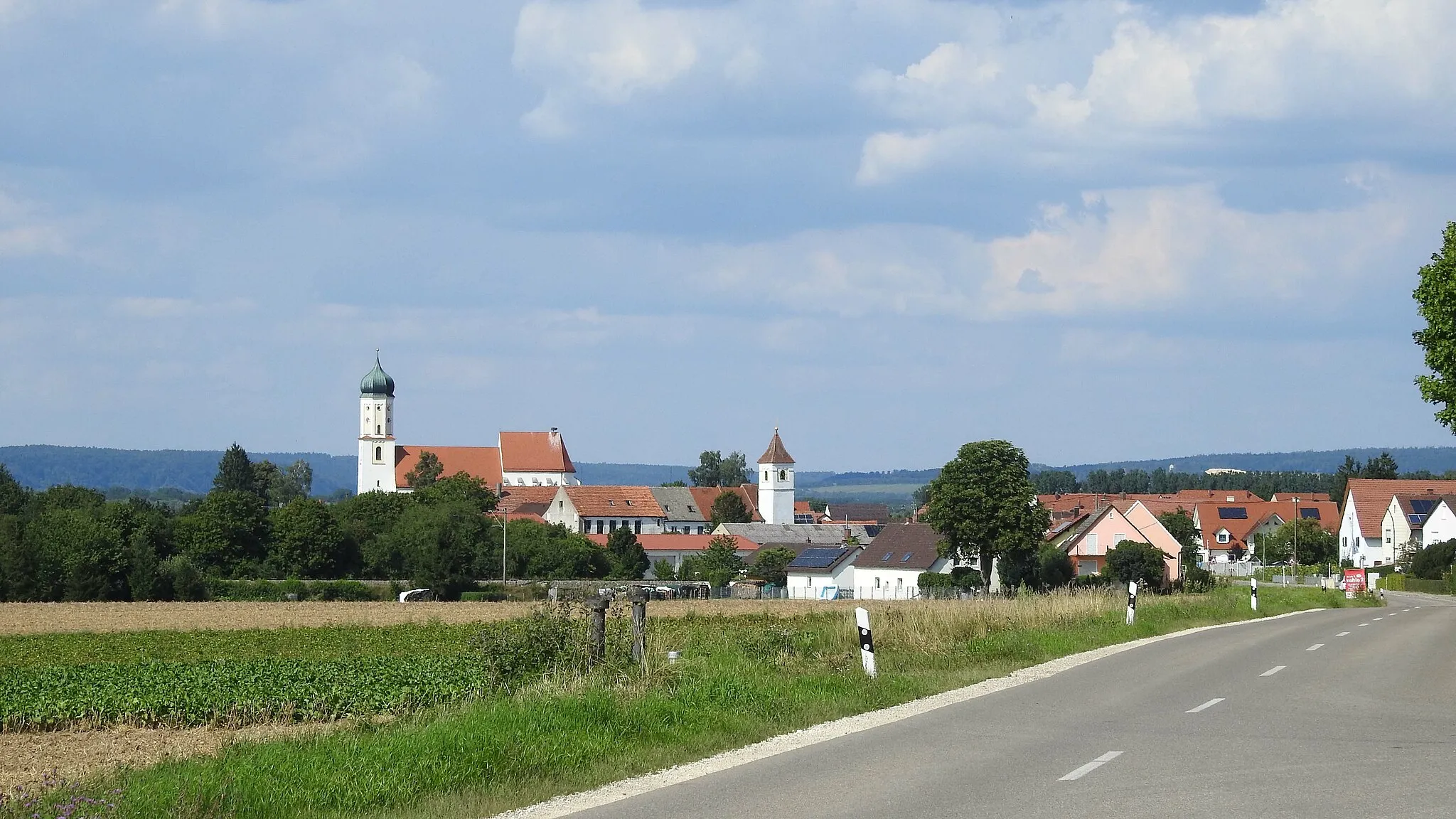
Pleasant cycling routes and scenic landscapes in Burgheim.
Cycling routes from Burgheim
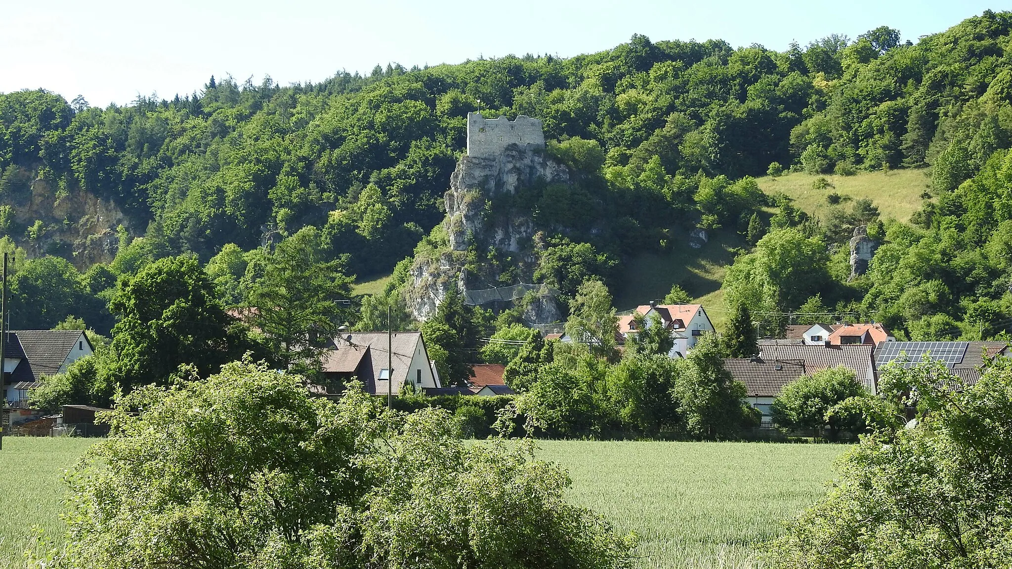
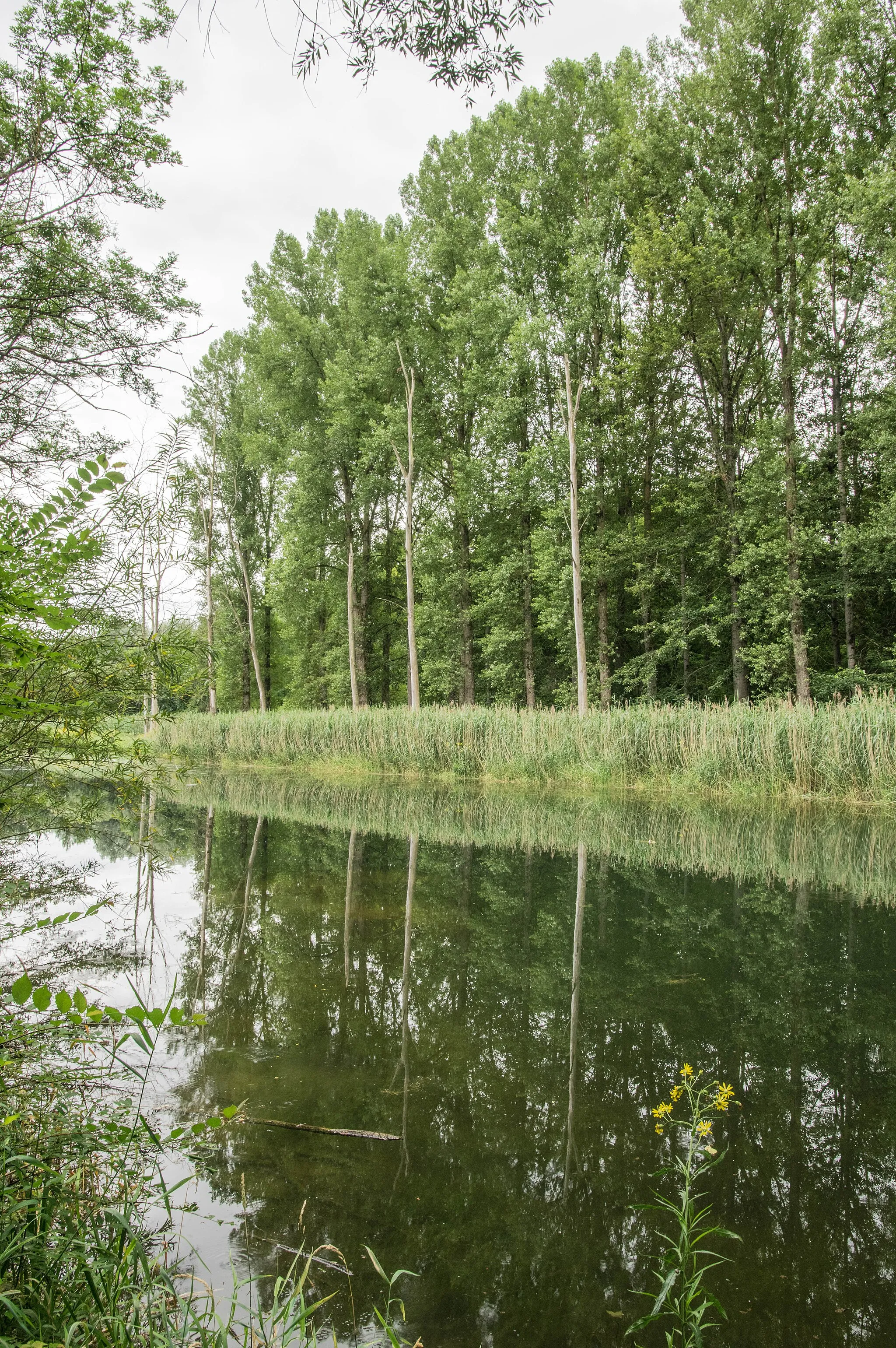
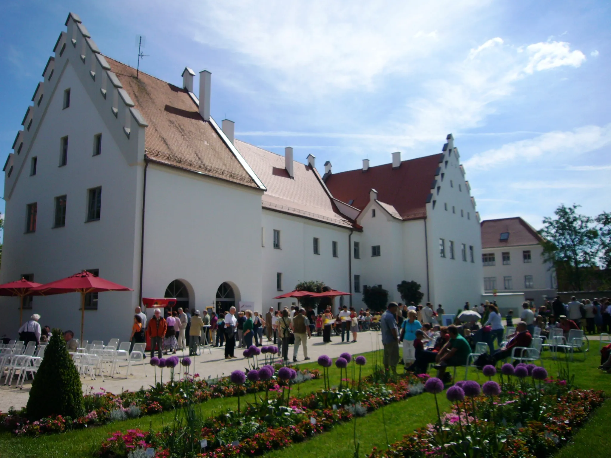
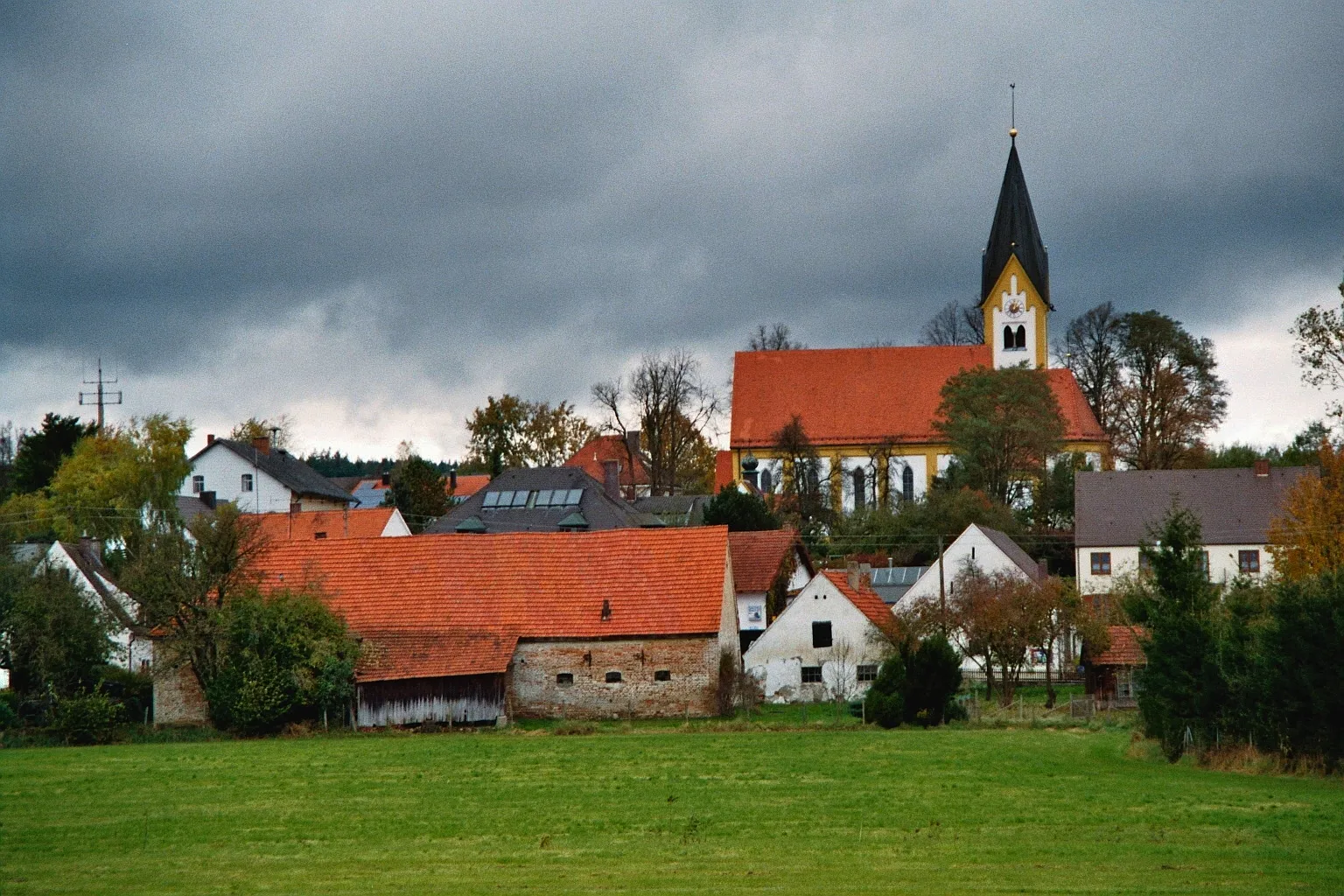
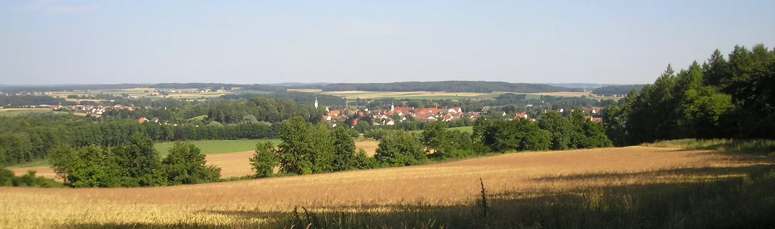
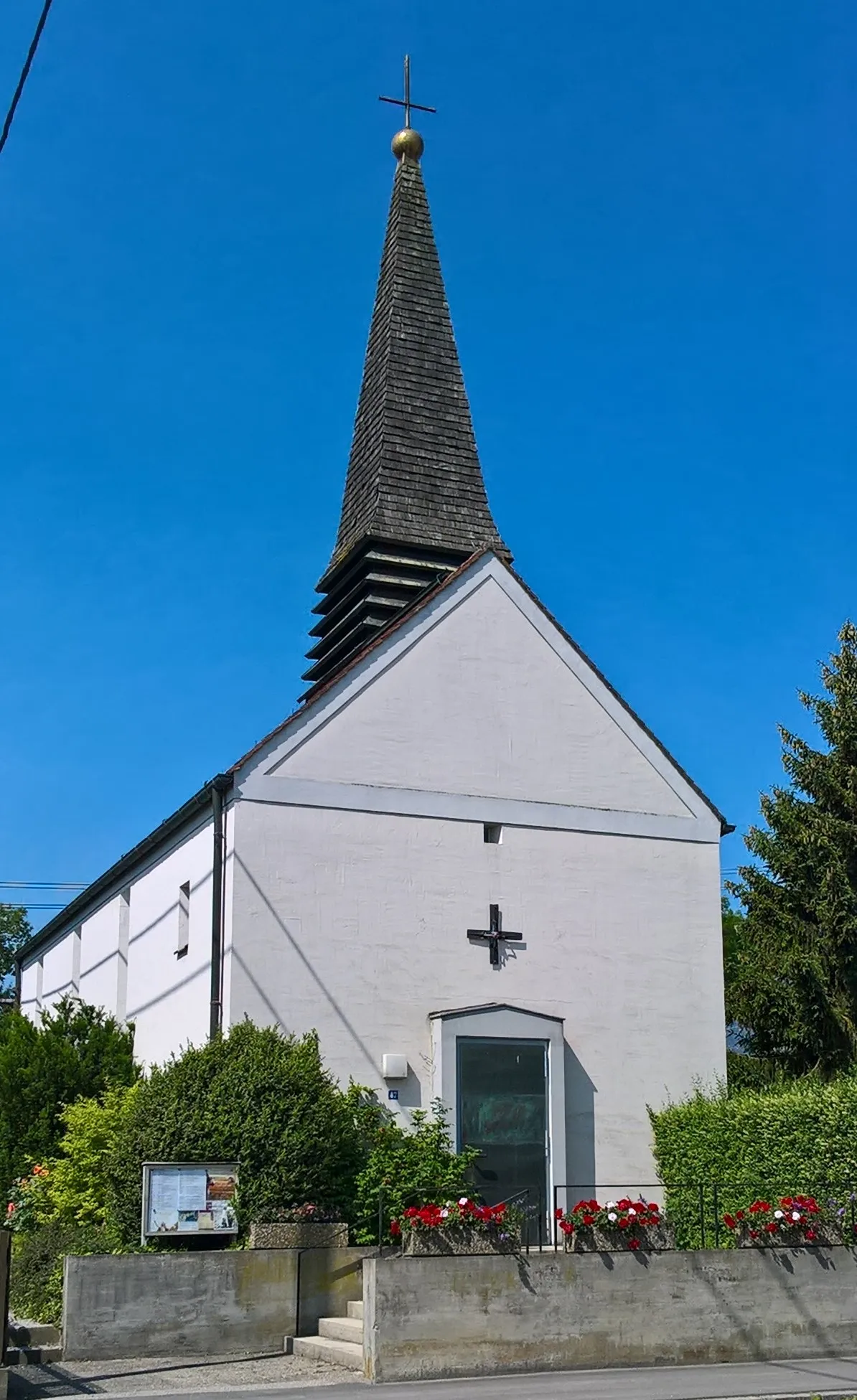
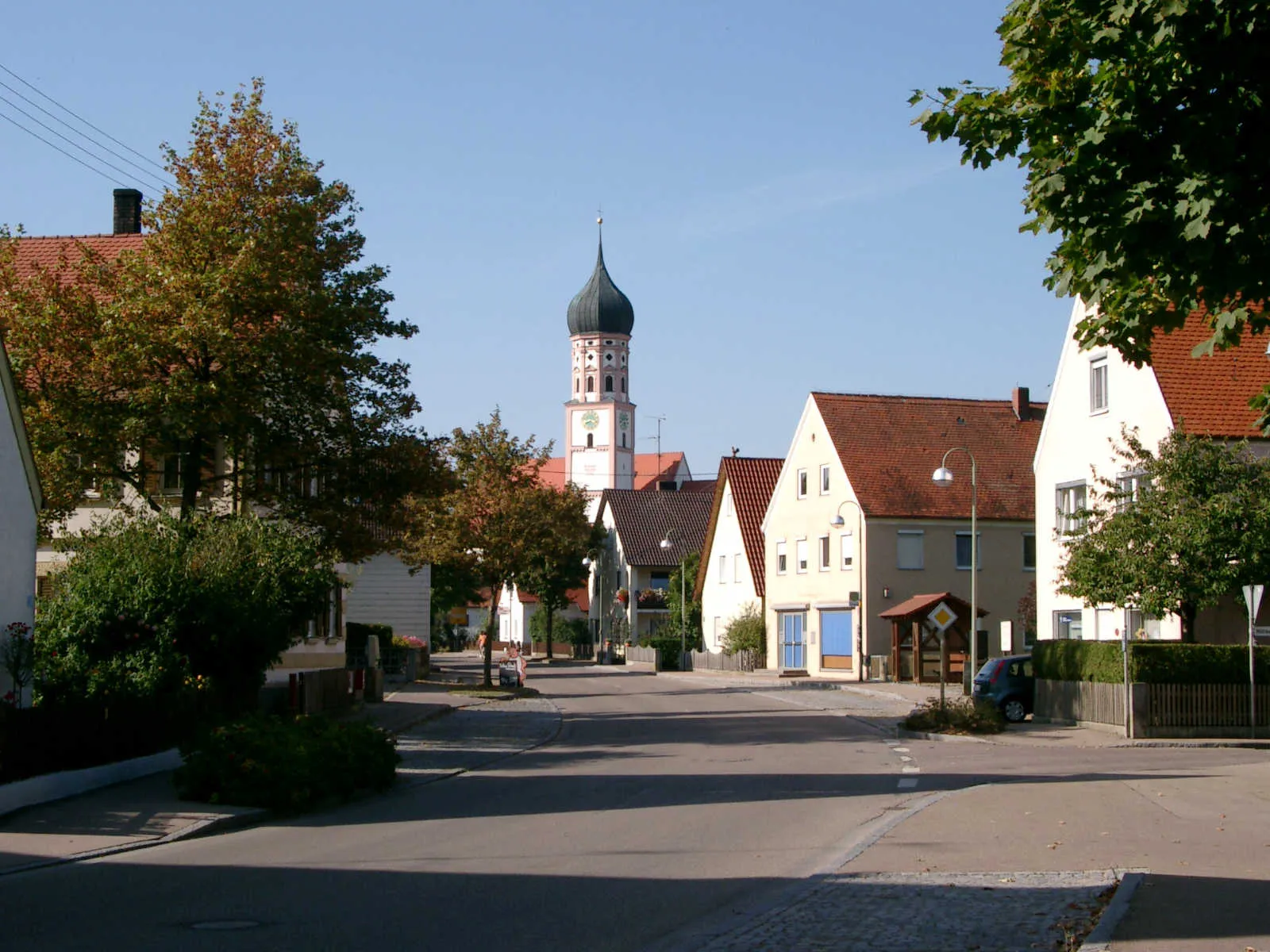
Burgheim is a town situated in Oberbayern, Germany. From a cyclist's perspective, Burgheim offers pleasant cycling routes with well-maintained roads and scenic landscapes. The nearby Danube Cycle Path is a popular attraction for cyclists, offering stunning views of the river. Overall, Burgheim is a suitable locality for leisure cyclists and a starting point for those looking to explore the Danube region.
Rain Route
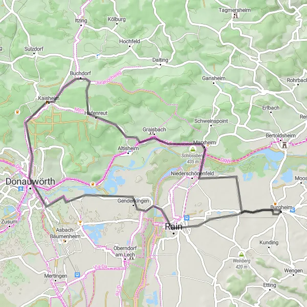
Experience the charming town of Rain on a picturesque cycling route
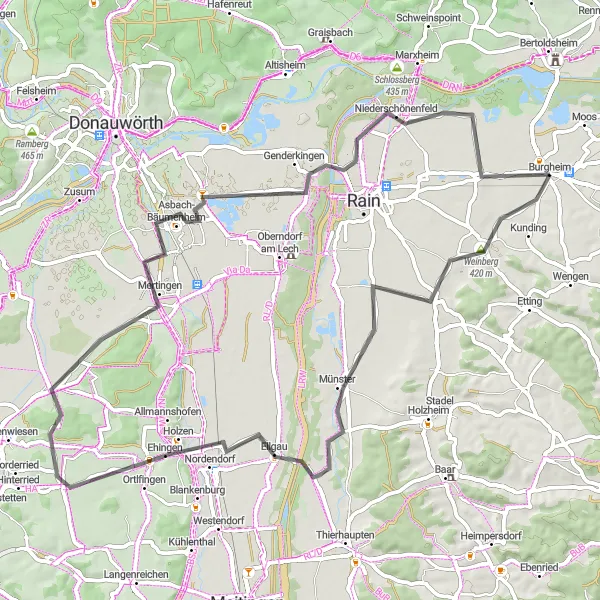
This road cycling route starting near Burgheim takes you through beautiful landscapes and introduces you to the enchanting town of Rain. With a total distance of 54 kilometers and an ascent of 332 meters, this route is suitable for moderately trained cyclists. The route is not overly challenging but offers a pleasant and enjoyable cycling experience. Explore highlights such as Donauwörth, Kaisheim, Niederschönenfeld, and the stunning Schlossberg in Burgheim.
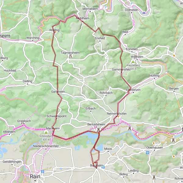
Explore the scenic beauty of the region on this gravel tour starting near Burgheim
This gravel tour near Burgheim takes you through scenic landscapes and charming towns. With a total ascent of 691 meters and a distance of 57 kilometers, this route is suitable for riders looking for a shorter yet rewarding cycling experience. The highlights along the route include Marxheim, Rögling, and Rennertshofen.
Discover hidden gravel gems near Burgheim and enjoy the serenity of the countryside
This gravel route near Burgheim takes you on a journey through hidden gems and scenic landscapes. With a total ascent of 443 meters and a distance of 57 kilometers, this route is suitable for riders looking for a shorter yet challenging gravel adventure. The highlights along the route include Schloss Sinning, Sandizell, and Pöttmes.
Cycle through picturesque landscapes and discover the historic highlights of Burgheim
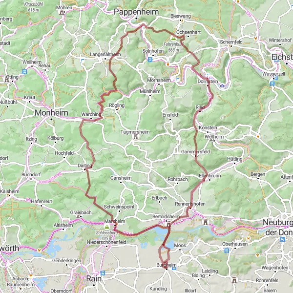
Embark on a cycling adventure through the beautiful region of Oberbayern in southern Germany. This round-trip route starting near Burgheim offers breathtaking views, historical landmarks, and charming countryside scenery. With a total distance of 82 kilometers and an elevation gain of 1106 meters, this route is suitable for well-trained amateurs. Prepare to be amazed by the diverse landscapes and immerse yourself in the rich history of the region.
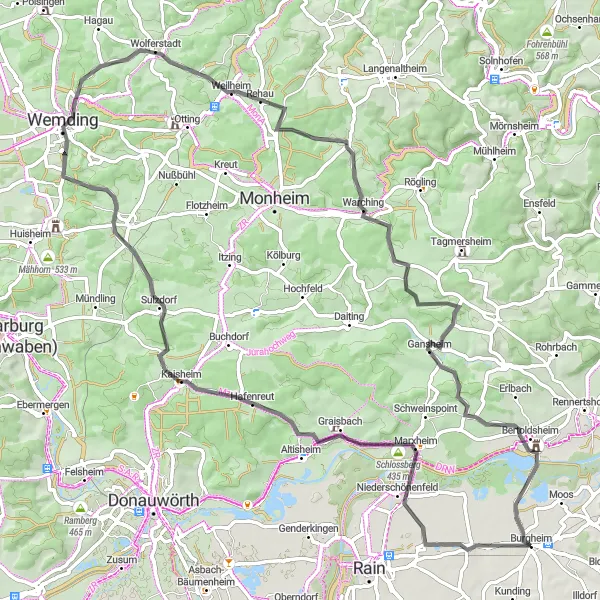
Gansheim Tour
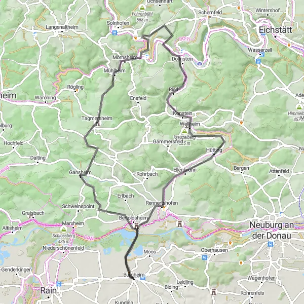
Embark on an adventurous cycling journey to the village of Gansheim
This road cycling route starting near Burgheim will take you on an adventurous journey to the charming village of Gansheim. With a total distance of 68 kilometers and an ascent of 656 meters, this route is suitable for experienced cyclists. The challenging ascent will test your endurance, but the picturesque landscapes and cultural highlights along the way will reward you. Highlights include Mörnsheim, Dollnstein, Rennertshofen, and finally returning to Burgheim.
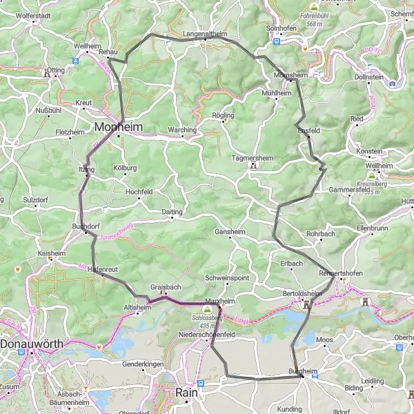
Take in the breathtaking scenery on this scenic road tour near Burgheim
This road tour near Burgheim takes you through picturesque landscapes and charming towns. With a total ascent of 932 meters and a distance of 76 kilometers, this route is suitable for intermediate riders looking for a scenic and enjoyable ride. The highlights along the route include Niederschönenfeld, Schlossberg, and Monheim.
Gravel Magic
Experience the magic of gravel cycling on this picturesque route
Immerse yourself in the enchanting world of gravel cycling on this picturesque route starting near Burgheim. With a total distance of 50 kilometers and an ascent of 562 meters, this route offers a moderate challenge for gravel enthusiasts. Enjoy highlights such as the Schloss Stepperg, Antoniberg, Schloss Neuburg, Ottheinrich Turm, and finally return to Burgheim to complete the gravel magic.
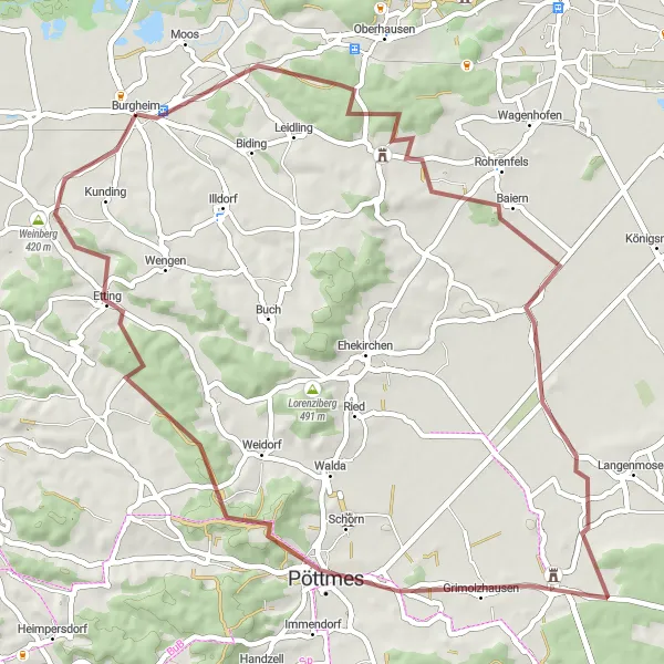
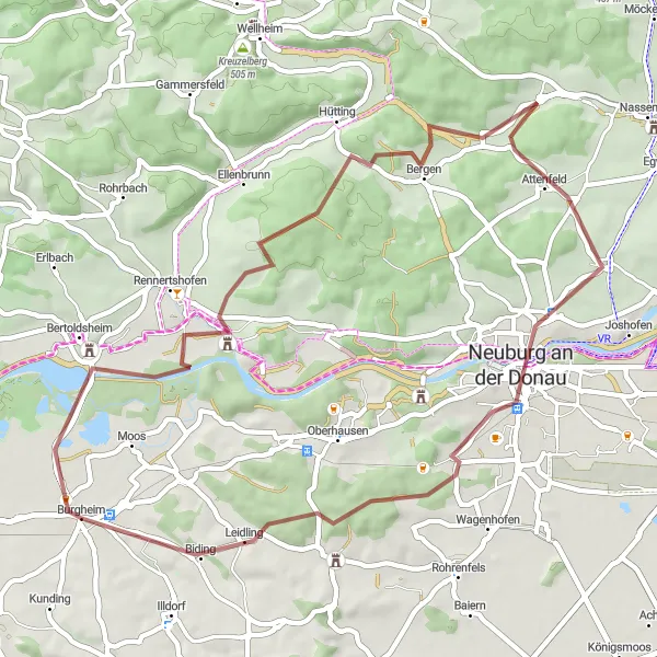
Embark on a scenic road adventure near Burgheim and enjoy stunning views along the way
This road adventure near Burgheim offers a scenic journey through beautiful landscapes and charming towns. With a total ascent of 147 meters and a distance of 68 kilometers, this route is suitable for riders of all levels looking for a relaxing and enjoyable ride. The highlights of this route include Kunding, Weinberg, and Niederschönenfeld.
Embark on a thrilling gravel cycling adventure near Burgheim.
Get ready for an adrenaline-pumping gravel cycling adventure near Burgheim! This 80-kilometer route offers diverse terrains and spectacular views of the Oberbayern countryside. With a challenging ascent of 952 meters, this gravel ride is perfect for those seeking an exhilarating outdoor experience. Along the way, you'll encounter charming villages, enchanting forests, and peaceful lakes, immersing yourself in the natural beauty of the region. Whether you're an experienced gravel cyclist or a thrill-seeking beginner, this route promises excitement and exploration. So fasten your helmet, hop on your bike, and get ready for an unforgettable journey through Burgheim's scenic surroundings.
Valley Explorer
Embark on an exploration of picturesque valleys and cultural highlights
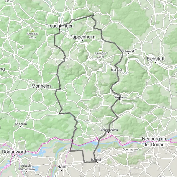
Follow the path of adventure on this road cycling route starting near Burgheim, taking you on a scenic journey through picturesque valleys and cultural highlights. With a total distance of 97 kilometers and an ascent of 1010 meters, this route will challenge even the most experienced cyclists. Highlights along the way include Marxheim, Langenaltheim, Treuchtlingen, Nagelberg, Schönau, Wellheim, Kreuzelberg, and lastly returning to Burgheim.
Cycling routes nearby:

Nearby regions: