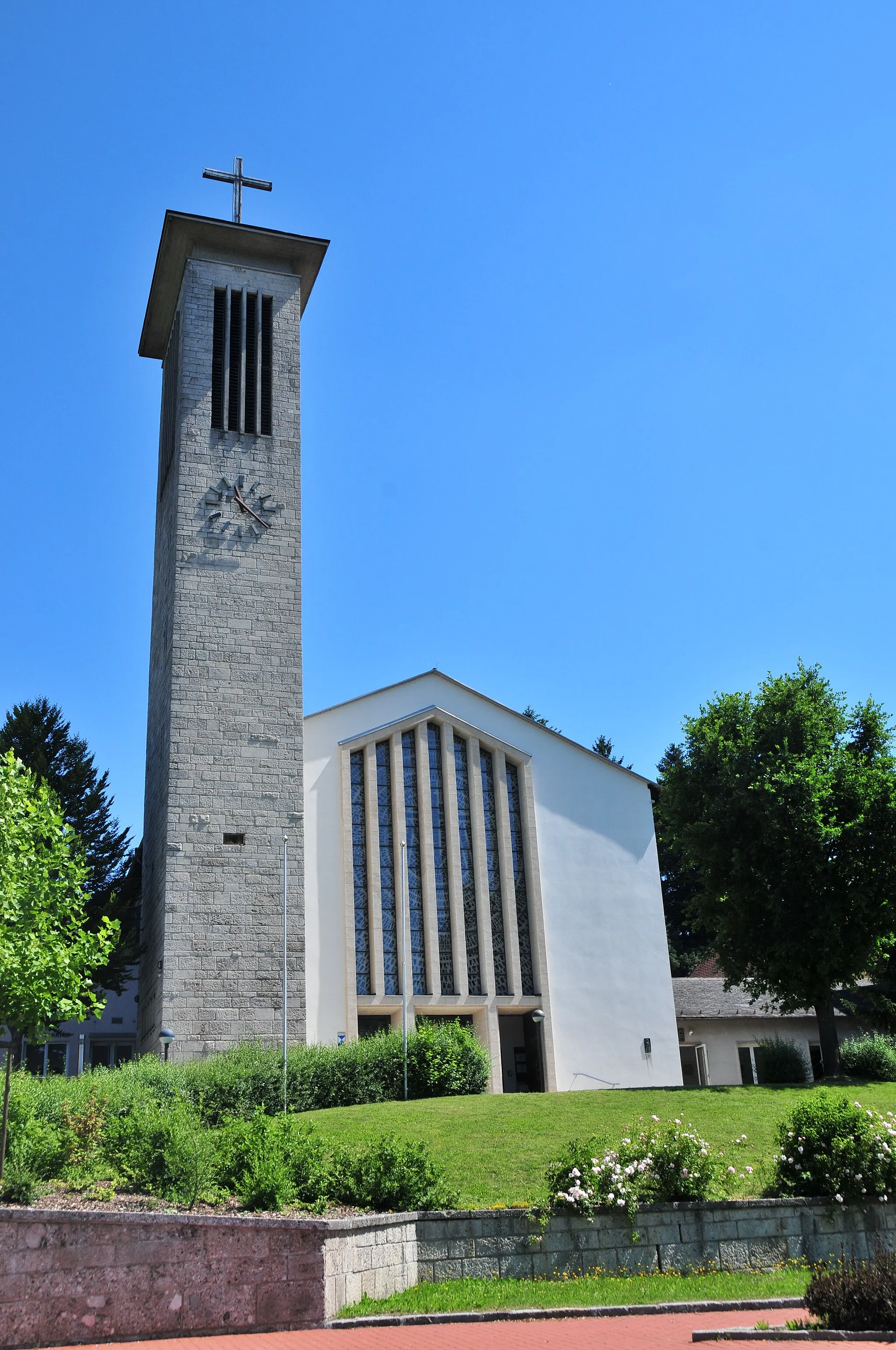
Challenge yourself on legendary alpine climbs in Hohenpeißenberg's stunning surroundings.
Cycling routes from Hohenpeissenberg
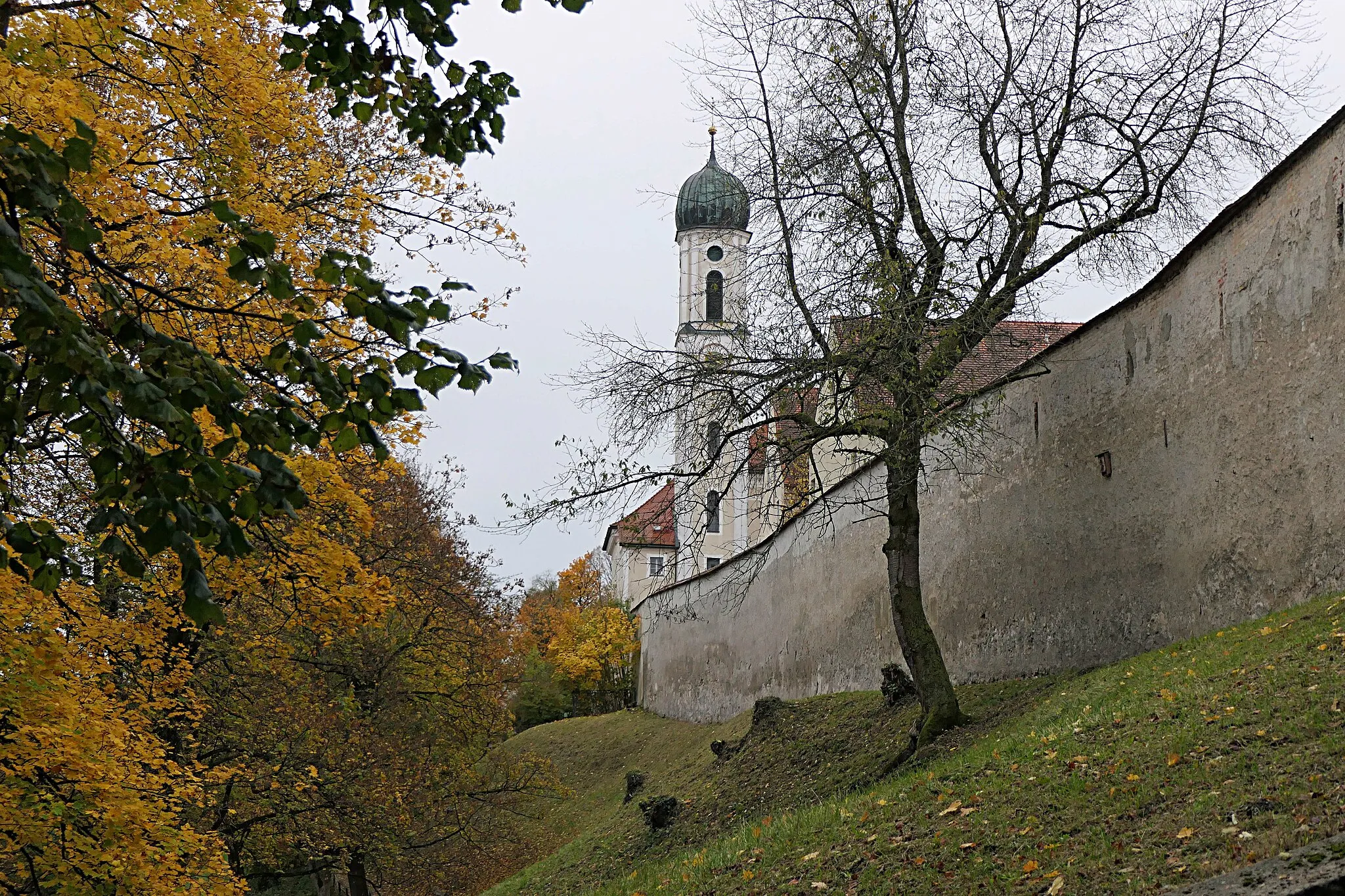
Hohenpeißenberg, located in Oberbayern, Germany, offers road and gravel cyclists stunning alpine scenery and challenging climbs. Cyclists can enjoy the beauty of the Bavarian countryside while riding through rolling hills and picturesque valleys. Hohenpeißenberg is famous for its signature climb, with gradients reaching up to 16%. The surrounding area features many additional notable climbs, such as the Ammerwald Pass and Wolfraum Mountain. With its breathtaking vistas, Hohenpeißenberg attracts cyclists from around the world seeking exhilarating cycling adventures in a picturesque setting.
Explore the countryside with this scenic gravel route around Peißenberg
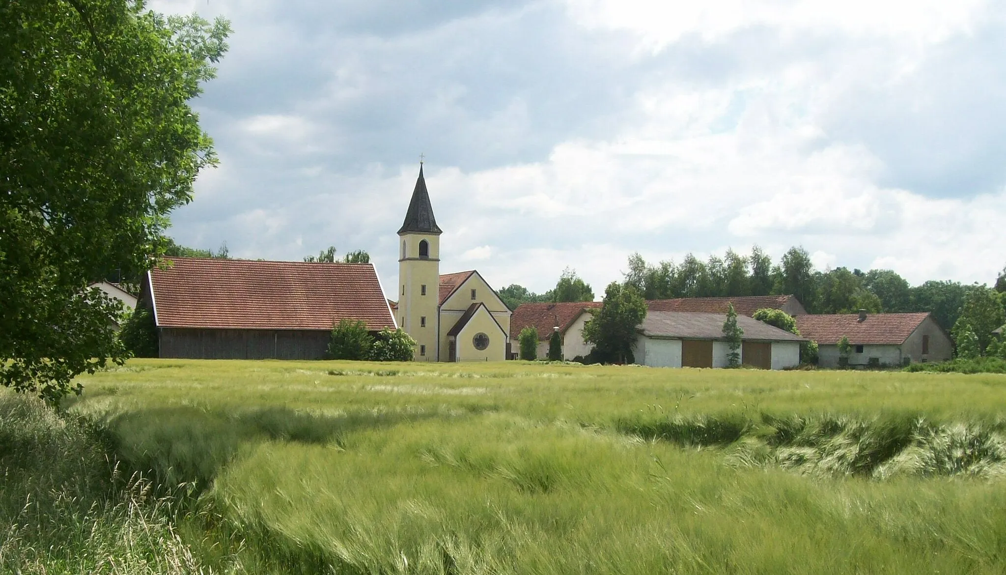
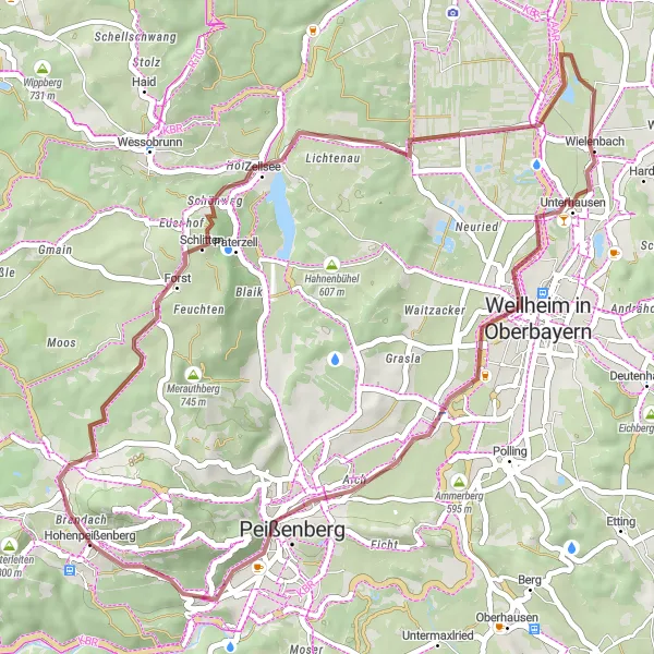
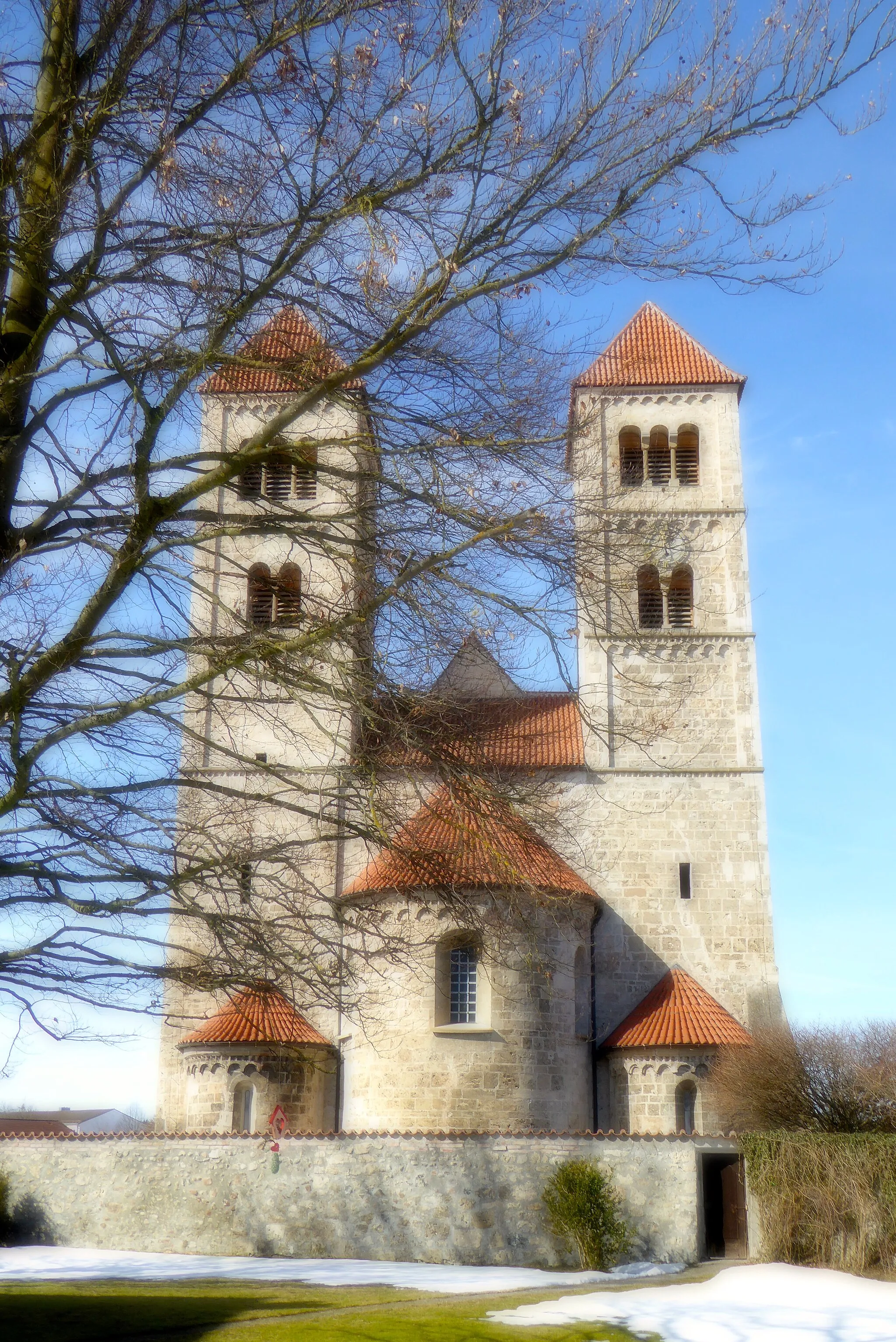
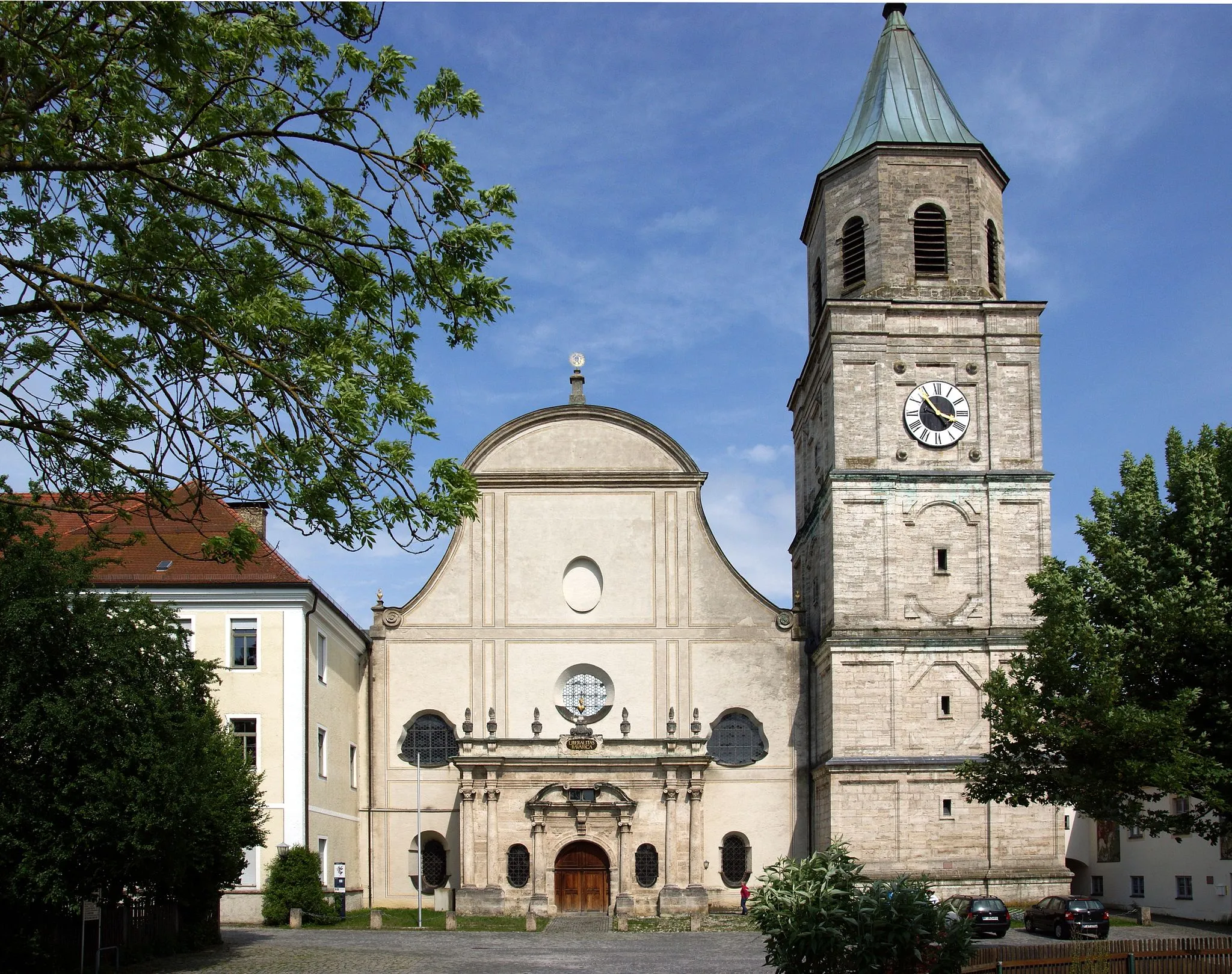
The Peißenberg Gravel Route is a picturesque gravel route that takes you through the stunning countryside surrounding Peißenberg. With a total ascent of 393 meters over a distance of 43 kilometers, this ride is suitable for cyclists of all levels. Highlights along the route include the Hoher Peißenberg, a popular viewpoint offering breathtaking panoramic views of the Alpine foothills and surrounding countryside. Schönwag is a historical village with well-preserved medieval architecture, including a fortified castle. Wielenbach is a charming village with traditional Bavarian houses and a peaceful atmosphere. Conclude the ride in Peißenberg, a vibrant town with a strong cycling community and plenty of amenities for tired riders.
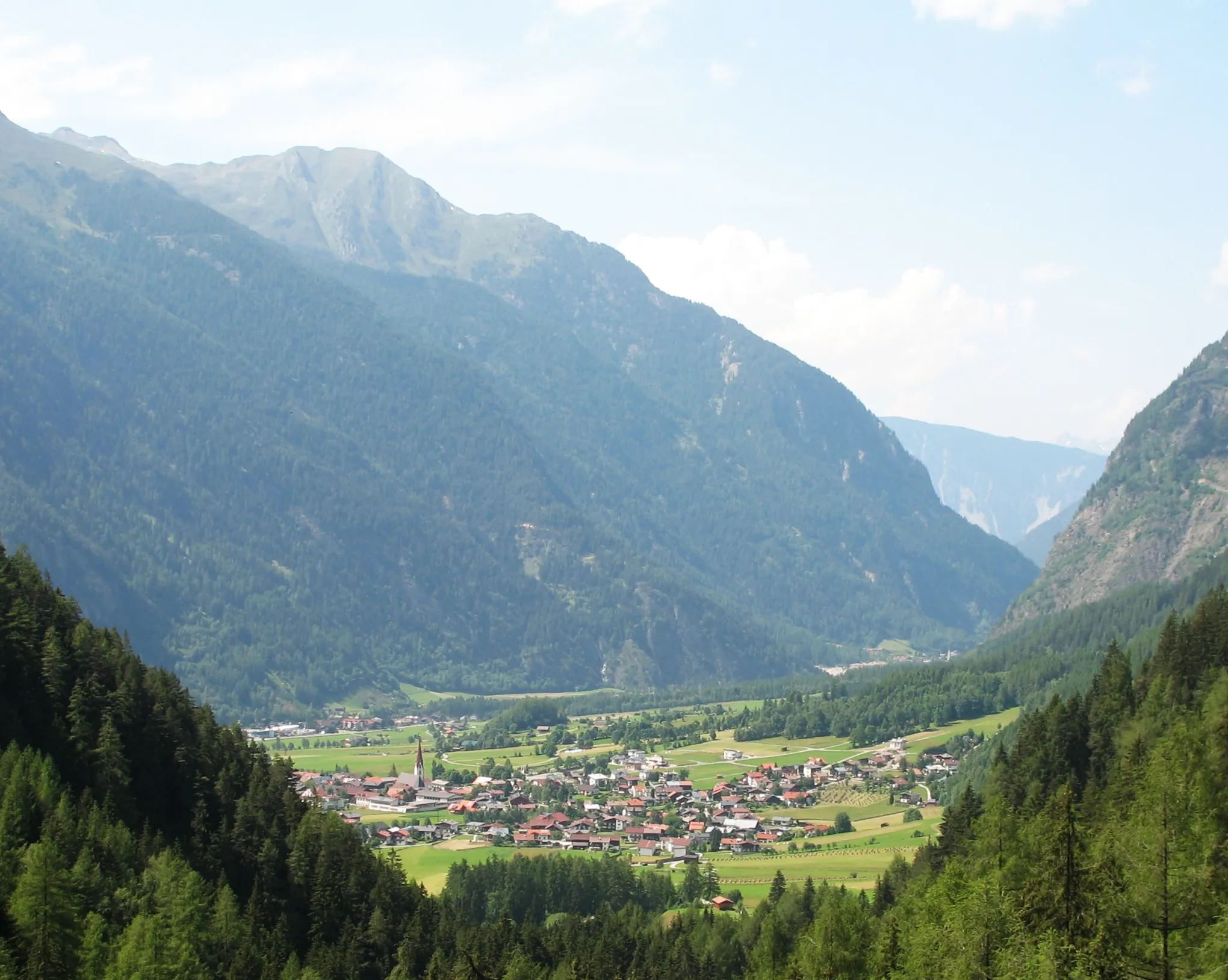
Wildsteig Gravel Adventure
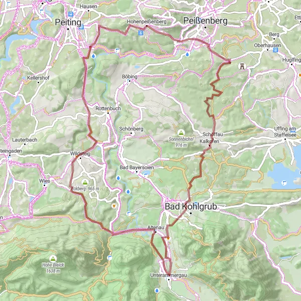
Embark on an off-road adventure through Wildsteig's scenic landscapes
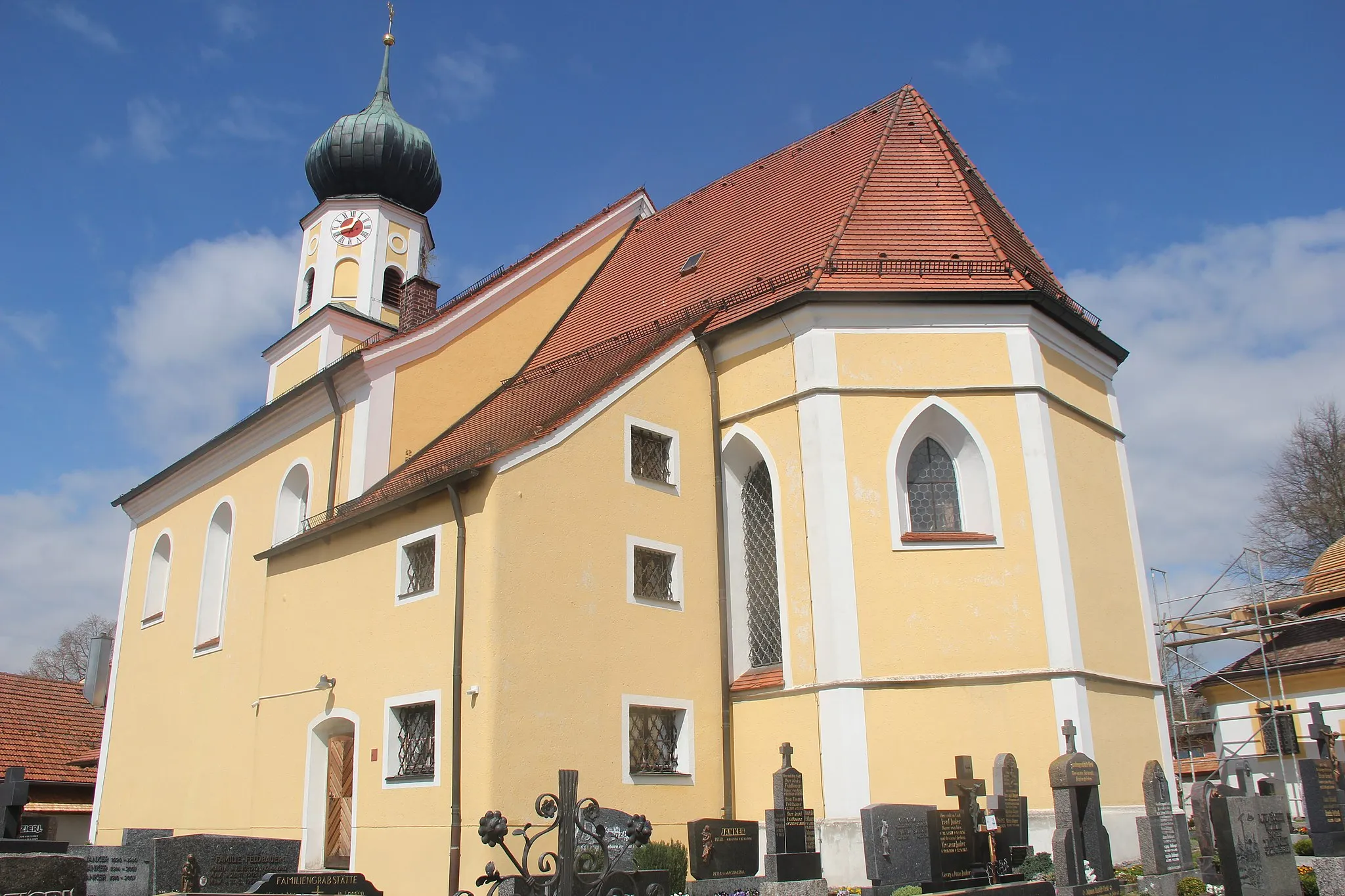
The Wildsteig Gravel Adventure is an exciting off-road route that takes you through the picturesque landscapes of Wildsteig. With a total ascent of 983 meters over a distance of 66 kilometers, this ride offers a moderate challenge for gravel cyclists. Highlights along the route include the Hoher Peißenberg, a popular viewpoint offering breathtaking panoramic views of the Alpine foothills and surrounding countryside. Eyach is a quaint village with traditional Bavarian houses and rolling hills. Schweinberg is a scenic hill known for its panoramic views, while Kraggenau is a hidden gem surrounded by tranquil forests and untouched nature. Altenau is a charming village with traditional half-timbered houses, while Mühlegg is a peaceful hamlet nestled in the mountains. The ride concludes with a climb up Hohenpeißenberg, a legendary cycling spot boasting challenging climbs and a rich history.
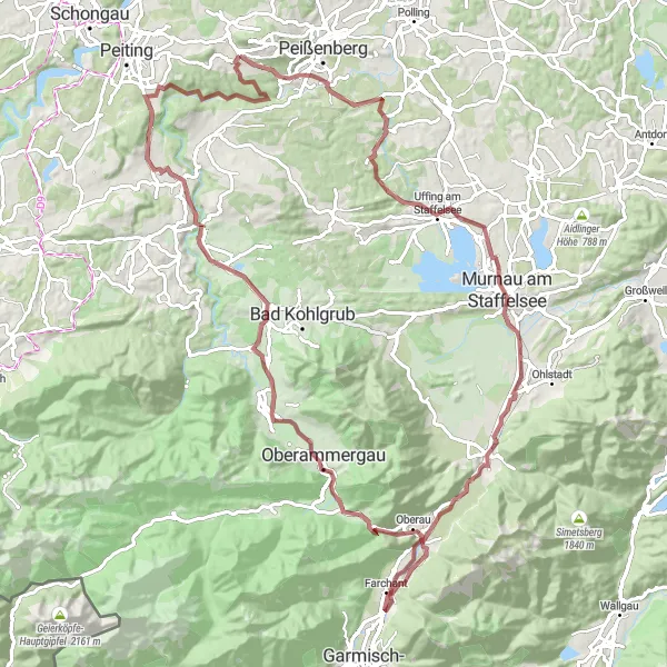
Embark on an epic off-road adventure through the magnificent landscapes around Hohenpeißenberg
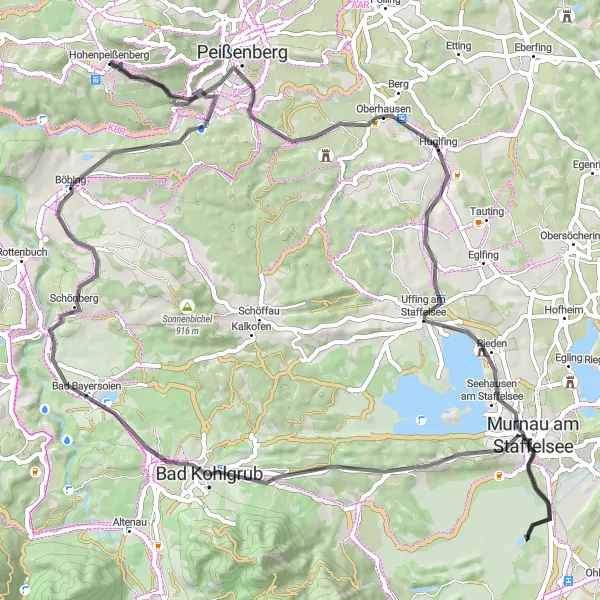
Experience the thrill of off-road cycling with this challenging route through the magnificent landscapes of Hohenpeißenberg. Suitable for experienced gravel bikers, this route offers a mix of technical trails and exciting descents. Highlights include Hechenrain, Murnau am Staffelsee, and Ettaler Sattel. With an ascent of 1058 meters and a distance of 102 kilometers, this off-road adventure is perfect for those seeking an adrenaline-fueled cycling experience amidst stunning natural surroundings.
Experience a challenging and rewarding cycling adventure through beautiful countryside
Embark on an exciting and challenging cycling adventure through the picturesque countryside near Hohenpeißenberg. This route is specifically designed to challenge experienced cyclists, with an ascent of 1245 meters and a distance of 134 kilometers. You'll encounter steep climbs and thrilling descents, along with beautiful natural landscapes. With highlights such as Winterleiten, Kappelhöhe, and Burggen, you'll have plenty of opportunities to stop and take in the stunning scenery. The route is best suited for experienced and well-trained cyclists seeking a challenging adventure.
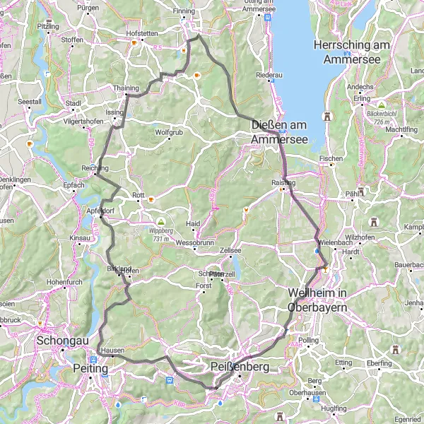
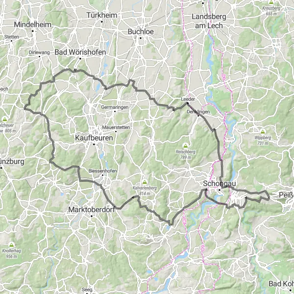
Discover the beauty of nature on this scenic road route through Birkland
The Birkland Adventure Ride is a scenic road route that takes you through the idyllic landscapes of Birkland. With a total ascent of 686 meters over a distance of 77 kilometers, this ride offers a moderate challenge for amateur cyclists. Highlights along the route include Birkland, a picturesque town known for its charming Bavarian architecture and beautiful surrounding countryside. Eselsberg offers stunning panoramic views, while Entraching is a quaint village with traditional Bavarian houses and shops. Dießen am Ammersee is a delightful town located on the shores of Lake Ammersee, offering the perfect spot for a lakeside break. Don't miss the Monopteros, a beautiful pavilion perched on a hilltop, providing breathtaking views of the Oberbayern region. The ride concludes in Peißenberg, a charming town with a vibrant cycling community and plenty of amenities for tired cyclists.
Embark on an exhilarating gravel cycling adventure through scenic landscapes
Get off the beaten path and explore the rugged beauty of Hohenpeißenberg with this gravel cycling adventure. This route offers a mix of challenging terrains and rewarding descents, suitable for experienced gravel bikers. Highlights include Schönwag, Raisting, and Weilheim in Oberbayern. With an ascent of 934 meters and a distance of 82 kilometers, this route is perfect for those seeking an adrenaline-filled cycling experience amidst stunning natural landscapes.
Embark on a thrilling gravel adventure that combines stunning scenery and challenging terrain
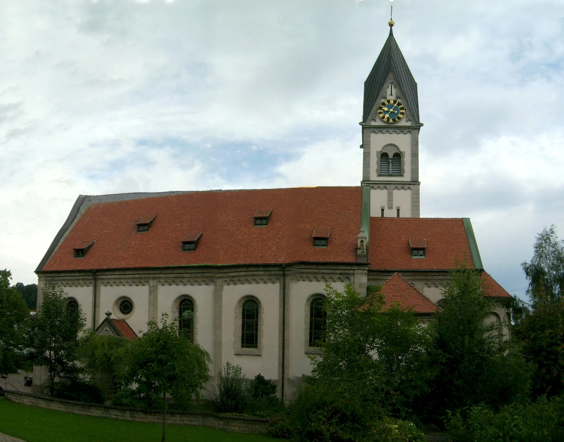
The Gravel Adventure near Hohenpeißenberg is a thrilling off-road route through the scenic Oberbayern region of Germany. With a total ascent of 1402 meters over a distance of 104 kilometers, this ride is recommended for experienced gravel cyclists. Highlights along the route include Schweinberg, a picturesque hill with panoramic views, and Kraggenau, a hidden gem surrounded by untouched nature. Sonneneck offers stunning views of the surrounding landscape, while The Hänsel-und-Gretel-Heim is an enchanting fairytale-themed house that looks like it's straight out of a storybook. Other highlights include Ammerversickerung, a natural phenomenon where a river disappears underground, and Altenau, a charming village with traditional half-timbered houses. The route also takes you through Graswang, home to a famous castle, and Mühlegg, a peaceful hamlet with stunning mountain views. Finally, enjoy the climb up Hohenpeißenberg, a legendary cycling spot with a rich history.
Hohenpeißenberg Loop
An exhilarating loop around Hohenpeißenberg with stunning views and challenging climbs
The Hohenpeißenberg Loop is a challenging road route that takes you through the scenic Oberbayern region of Germany. With a total ascent of 1022 meters over a distance of 117 kilometers, this ride is best suited for well-trained amateur cyclists. Along the way, you'll encounter highlights such as Galgenbichl, a picturesque hill overlooking the surrounding countryside, and Römerkessel, a historic Roman settlement. The route also includes a section through the charming town of Kaufering and a stop at Lauschplatz, a peaceful spot perfect for taking a break. Overall, this loop offers a great mix of natural beauty and cultural attractions.
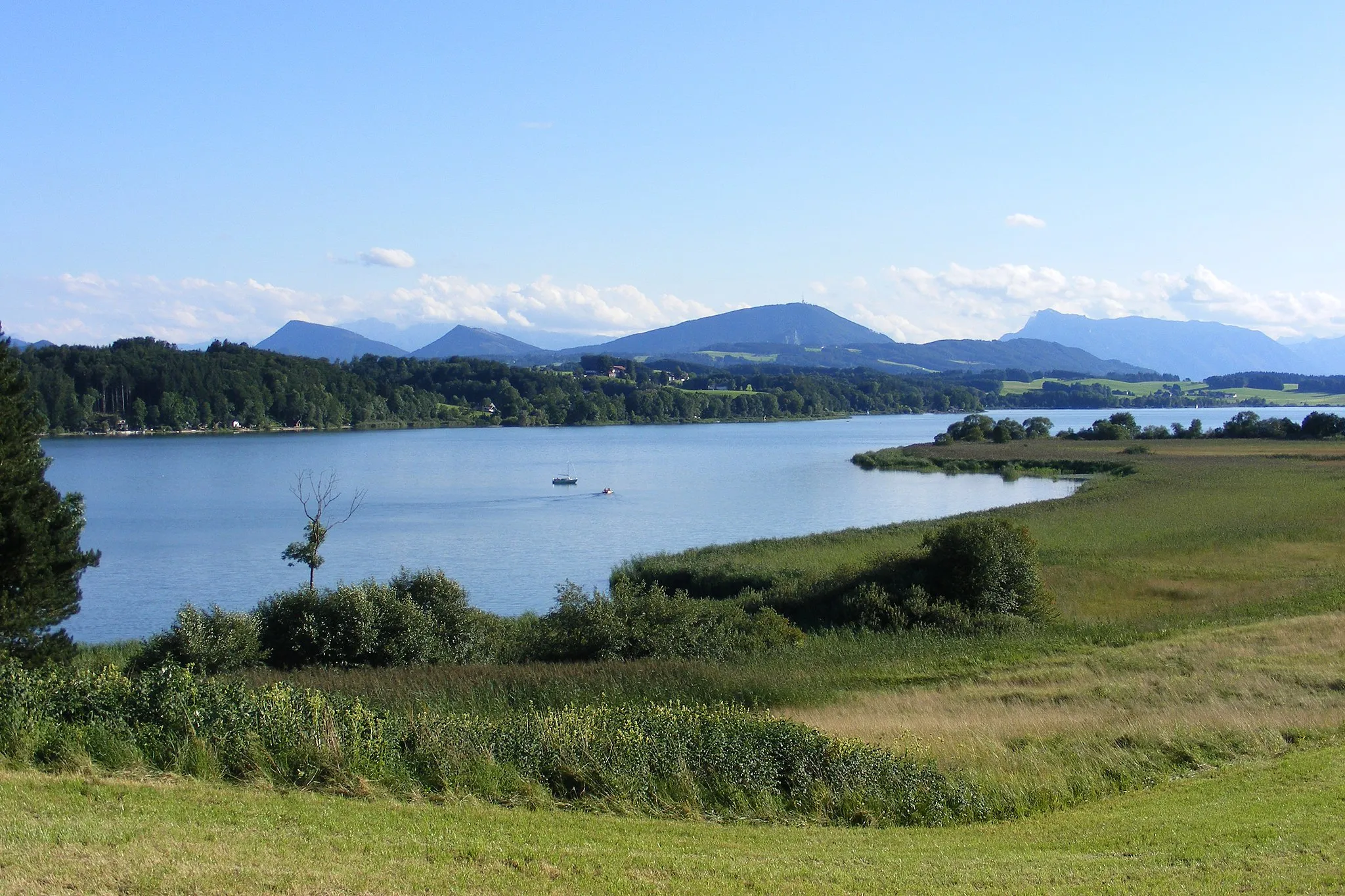
Cycle through the picturesque Oberbayern region and enjoy stunning views of the Hoher Peißenberg
This route takes you on a journey through the scenic Oberbayern region, offering beautiful landscapes and well-maintained road surfaces. Starting near Hohenpeißenberg, you will have the opportunity to enjoy stunning views of Hoher Peißenberg. The route includes a mix of flats and gentle climbs, making it suitable for moderately experienced cyclists. With an ascent of 887 meters and a distance of 102 kilometers, this route is a great way to explore the natural beauty of the area.
Immerse yourself in the authentic Bavarian countryside and discover hidden gems
Discover the beauty of the Bavarian countryside with this scenic cycling tour starting near Hohenpeißenberg. This route offers a mix of arduous climbs and rewarding descents, perfect for intermediate-level cyclists. With highlights such as Kreuzbichl, Schloss Rieden, and Bad Kohlgrub, you'll have the opportunity to explore charming villages and historical landmarks. With an ascent of 944 meters and a distance of 75 kilometers, this tour is ideal for those seeking natural beauty and cultural experiences.
Cycling routes nearby:


Nearby regions: