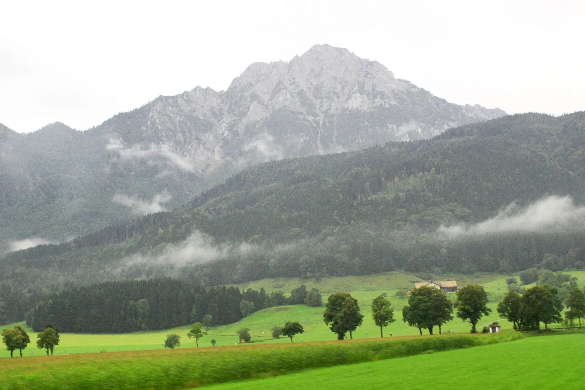
Premier location for accessing the Bavarian Alps
Cycling routes from Teisendorf
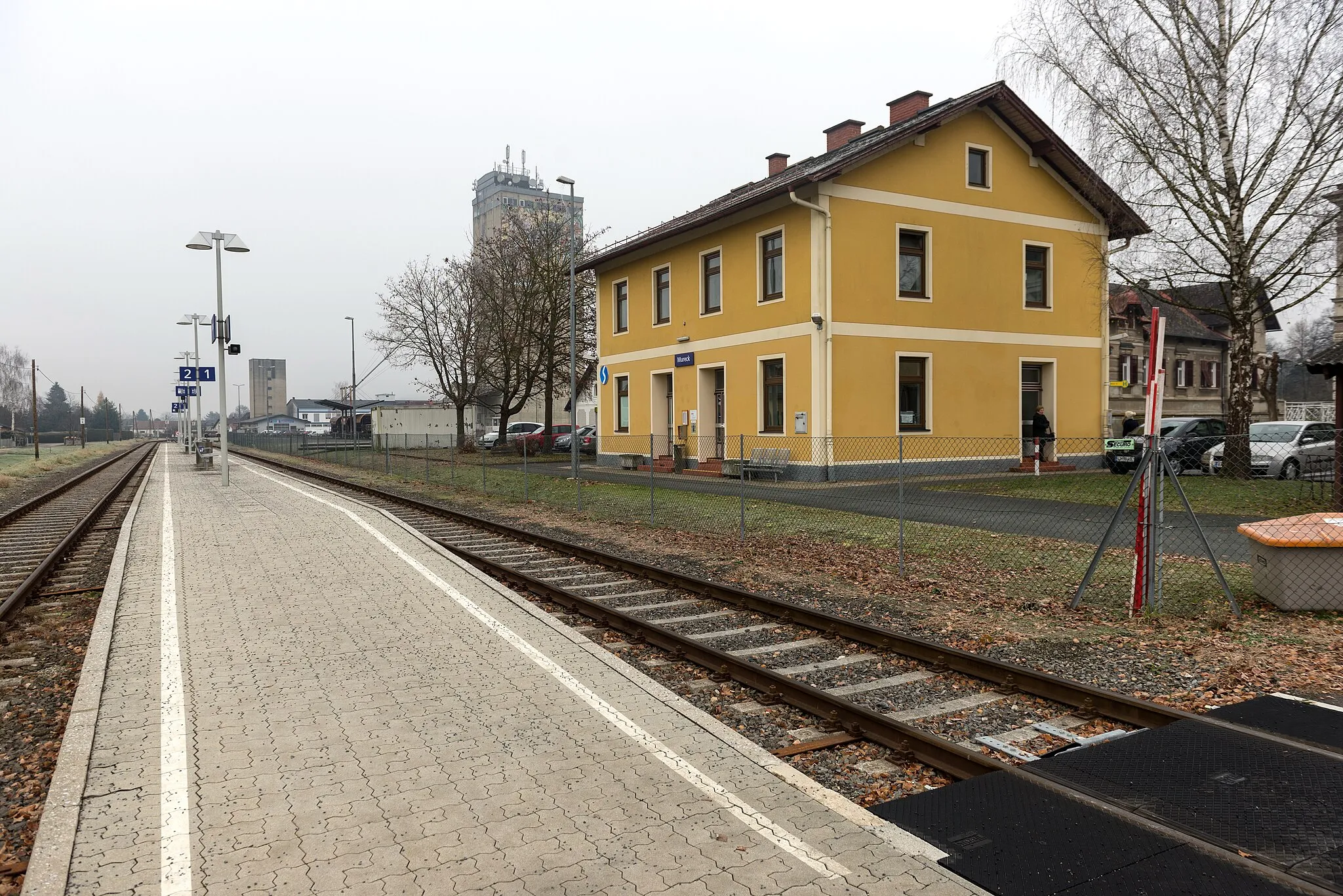
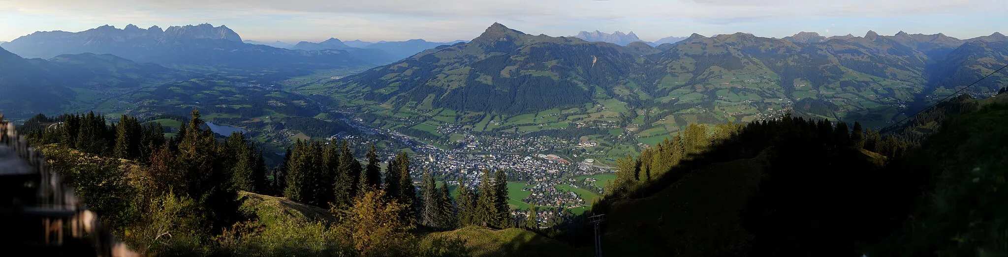
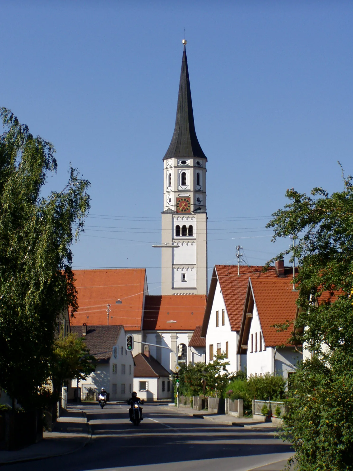
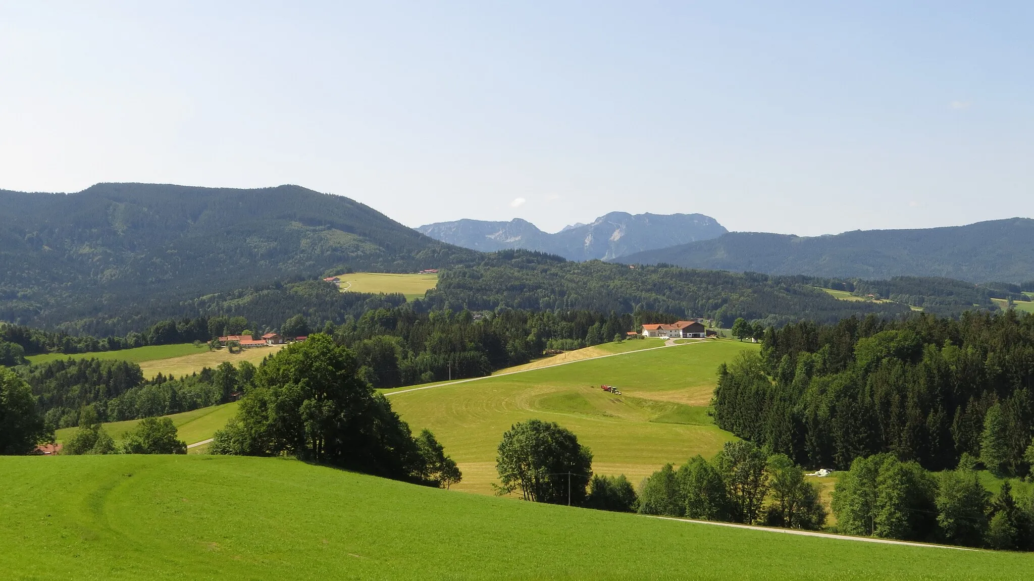
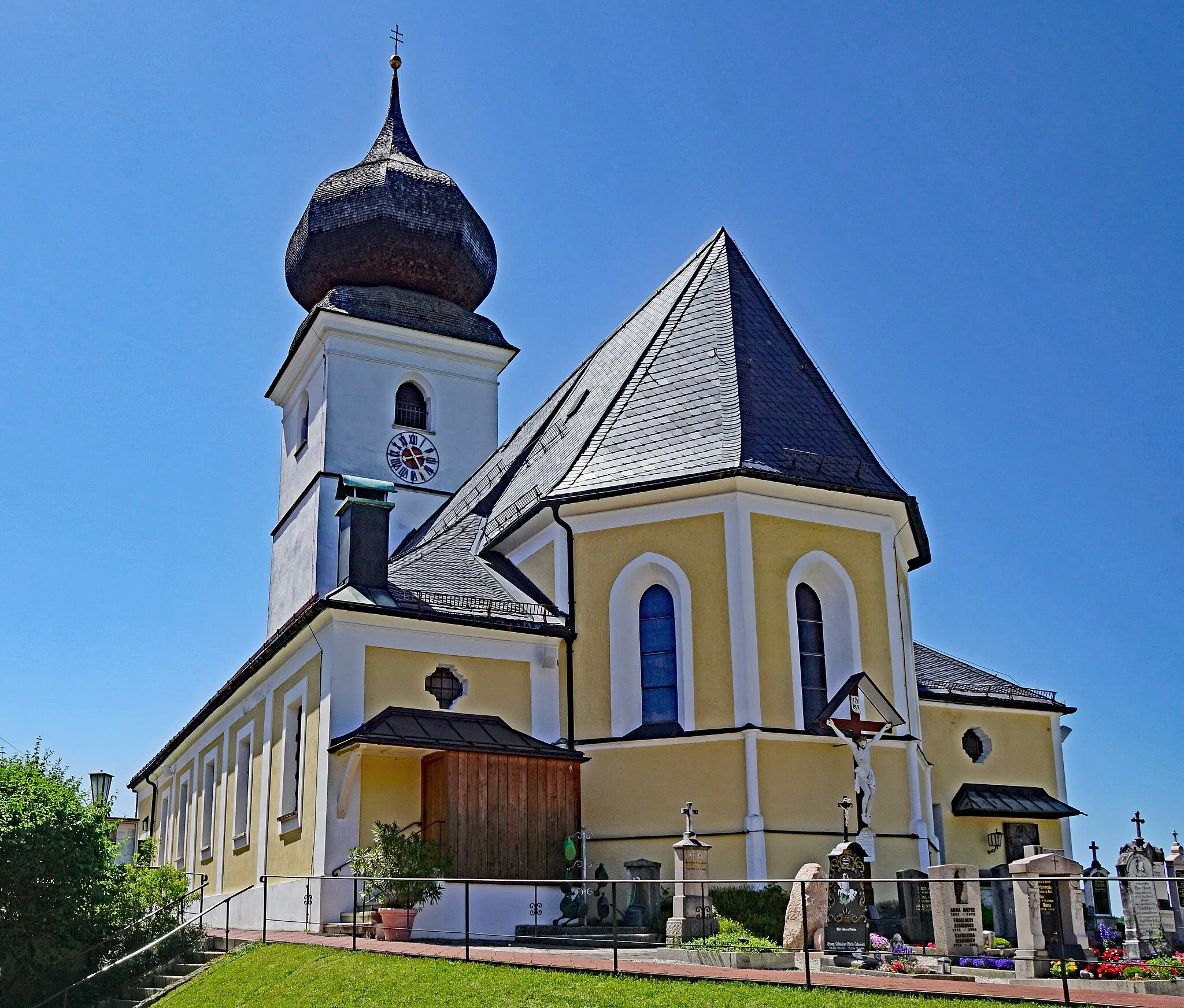
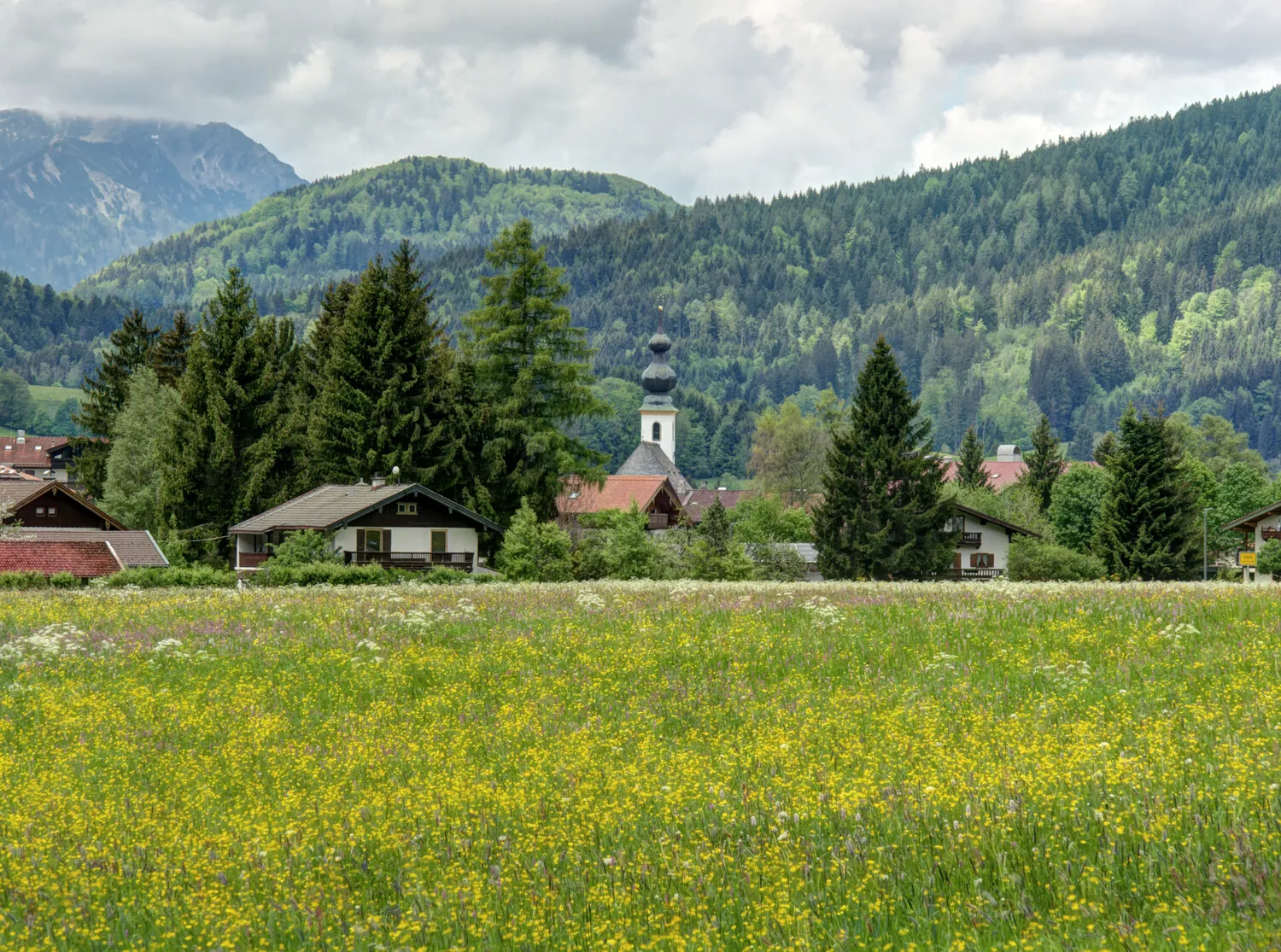
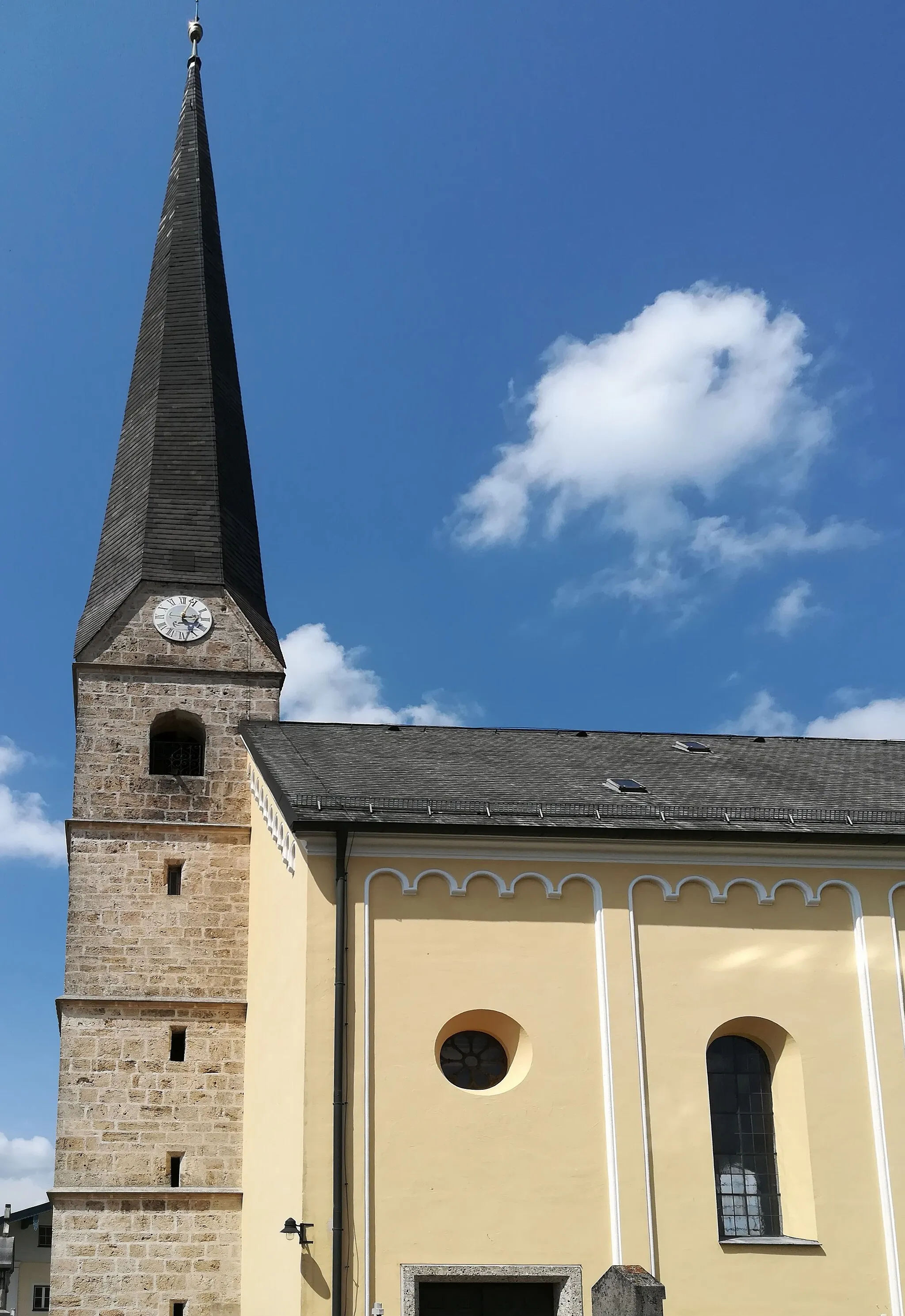
Teisendorf, situated in Oberbayern, Germany, is a cyclist-friendly locality within the Bavarian Alps. The area offers scenic routes surrounded by stunning mountain vistas. Cyclists can enjoy both challenging climbs and exhilarating descents. Teisendorf serves as a gateway to famous cycling locations in the Bavarian Alps, including the Grossglockner High Alpine Road. With its proximity to iconic climbs and breathtaking scenery, Teisendorf is a premier destination for road cyclists.
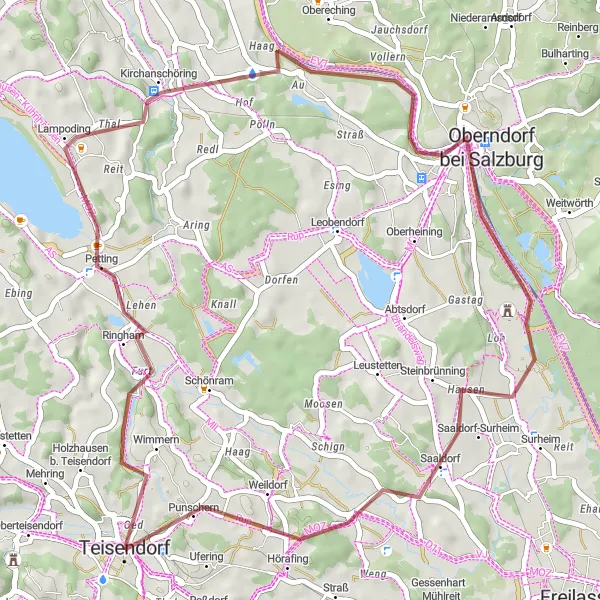
Tour of Salzach
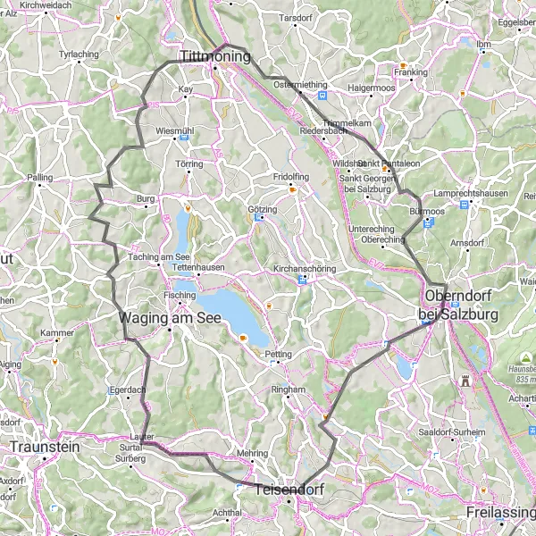
Embark on a road cycling tour along the scenic Salzach River.
Experience the beauty of the Salzach River and its surroundings on this road cycling tour. Starting in Teisendorf, you'll ride through picturesque landscapes and charming villages including Oberteisendorf, Schloss Gessenberg, Tittmoning, Bürmoos, Salzach, and Schönram. With a moderate ascent of 910 meters and a distance of 81 kilometers, this route offers a mix of flat sections and rolling hills. Enjoy the peacefulness of cycling alongside the Salzach River and discover the rich history and architectural gems of the towns along the way.
Teisendorf Loop
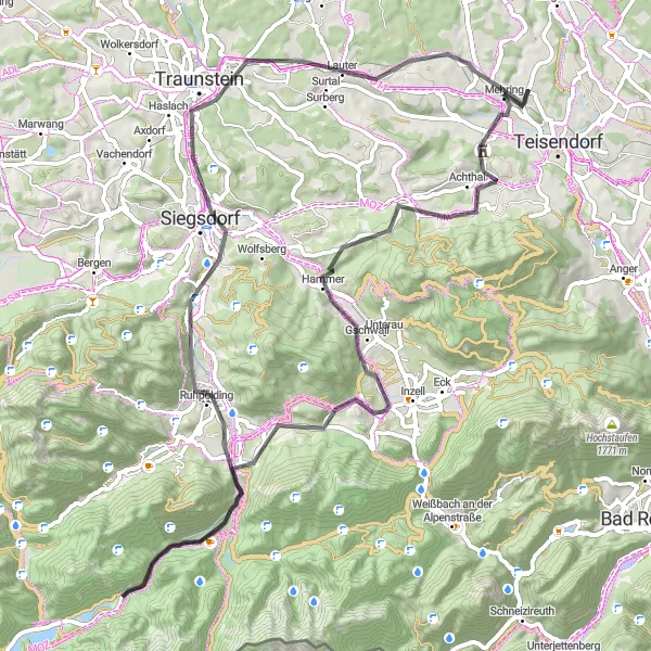
Discover the picturesque landscapes and historical sites around Teisendorf
The Teisendorf Loop is a fantastic cycling route that offers a combination of stunning landscapes, historical sites, and challenging terrains. Starting near Teisendorf, this circular route takes you through beautiful villages, rolling hills, and lush green fields. With a total ascent of 1066 meters and a distance of 75 kilometers, this route is suitable for well-trained amateur cyclists looking for a moderate challenge.
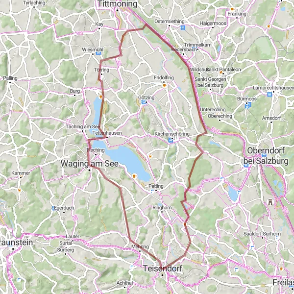
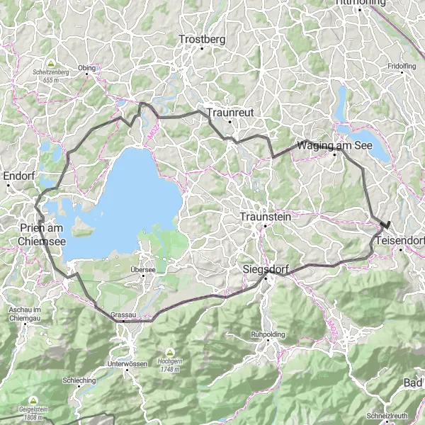
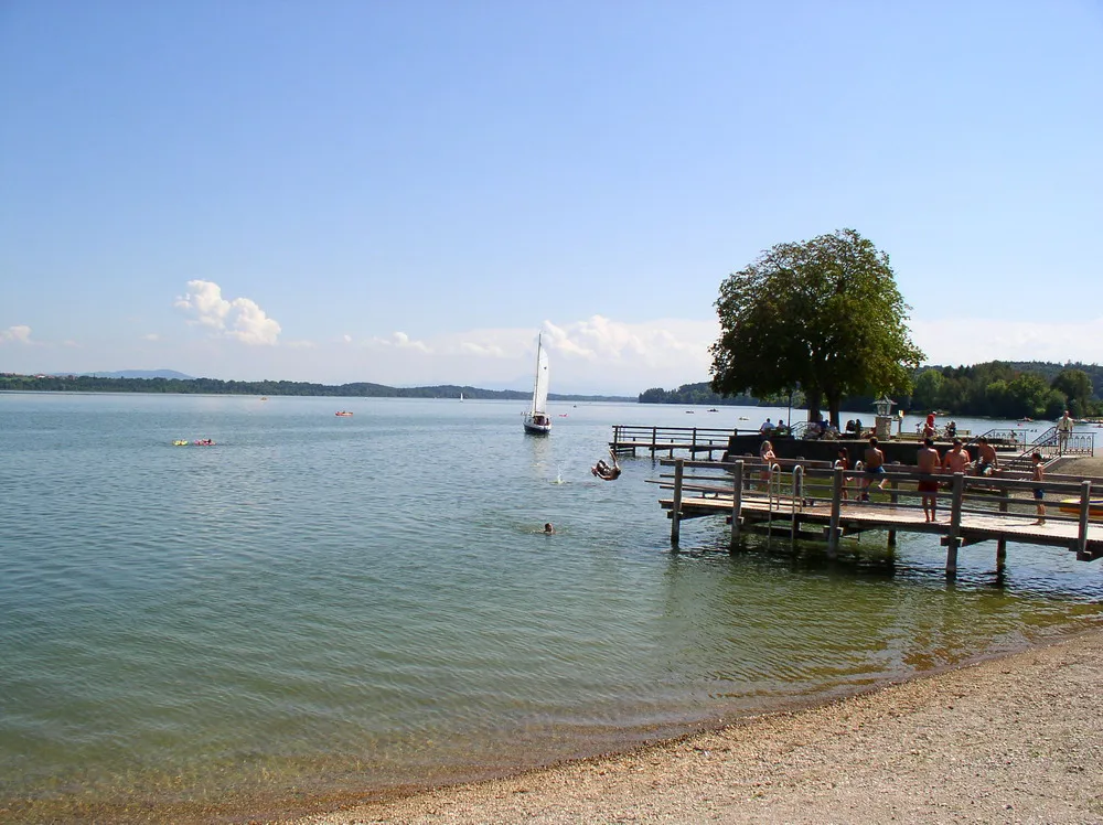
Embark on an epic gravel cycling adventure around the stunning Waging am See.
Discover the rugged beauty of the Waging am See region on this epic gravel cycling route. With an ascent of 406 meters and a distance of 59 kilometers, this loop offers a thrilling challenge for gravel enthusiasts. Explore the idyllic countryside, picturesque villages, and the sparkling waters of Waging am See. The route takes you through Waging am See, Riedersbach, Schönram, and back to Teisendorf. With its varying terrain and stunning scenery, this gravel adventure is an exhilarating experience.
Teisendorf Gravel Loop
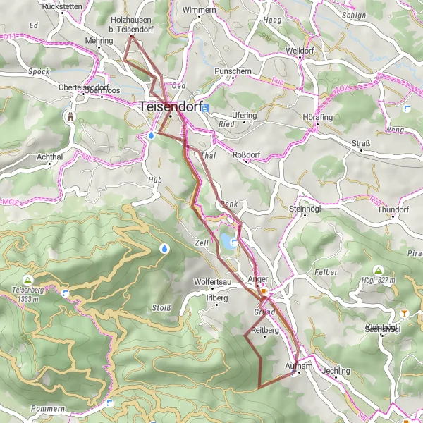
Explore Teisendorf and its surroundings by gravel bike
This 27 km gravel route starting in Teisendorf offers a pleasant and diverse cycling experience. With an ascent of 551 m and several highlights along the way, you'll enjoy beautiful Bavarian landscapes and discover hidden gems.
Explorer's Gravel Loop
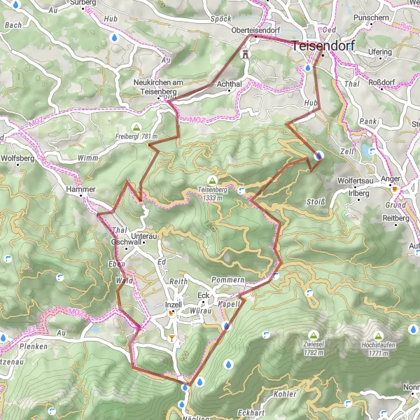
Embark on a gravel cycling adventure through the picturesque countryside surrounding Teisendorf.
Discover the hidden gems and quaint villages of the Teisendorf region on this exciting gravel cycling route. With an ascent of 1233 meters and a distance of 46 kilometers, this loop offers a mix of challenging climbs and smooth descents. Ride through Adlgaß, Großer Turm, Niederachen, Oberteisendorf, and return to Teisendorf. Enjoy the stunning views of the Bavarian Alps, explore historic landmarks, and soak in the peacefulness of the countryside. Suitable for experienced gravel riders seeking a thrilling yet enjoyable adventure.
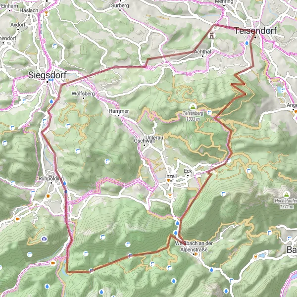
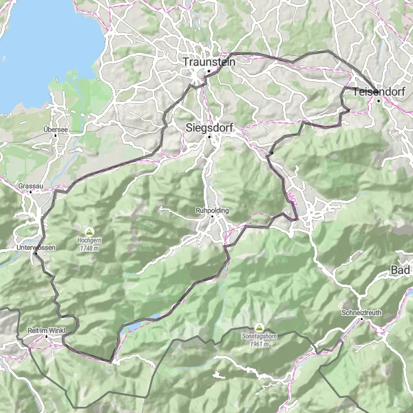
Embark on a thrilling gravel cycling journey through the stunning alpine landscapes.
Prepare for an unforgettable gravel adventure through the breathtaking alpine landscapes surrounding Teisendorf. This challenging route takes you through Adlgaß, Großer Turm, Weißbach an der Alpenstraße, Menkenberg, Ruhpolding, Neukirchen am Teisenberg, and offers stunning views of Oberteisendorf. With a challenging ascent of 1525 meters and a distance of 61 kilometers, this route is suitable for experienced cyclists seeking a thrilling alpine challenge. Marvel at the majestic mountains, pristine streams, and quaint alpine villages as you conquer this epic route.
Embark on a scenic gravel adventure through picturesque landscapes.
With a distance of 47 km and an elevation gain of 465 m, this gravel route starting in Teisendorf is perfect for those seeking a scenic and peaceful cycling experience. You'll pass through charming villages and enjoy stunning views of the Salzach River.
Bavarian Road Adventure
Embark on a challenging road adventure through the scenic Bavarian countryside.
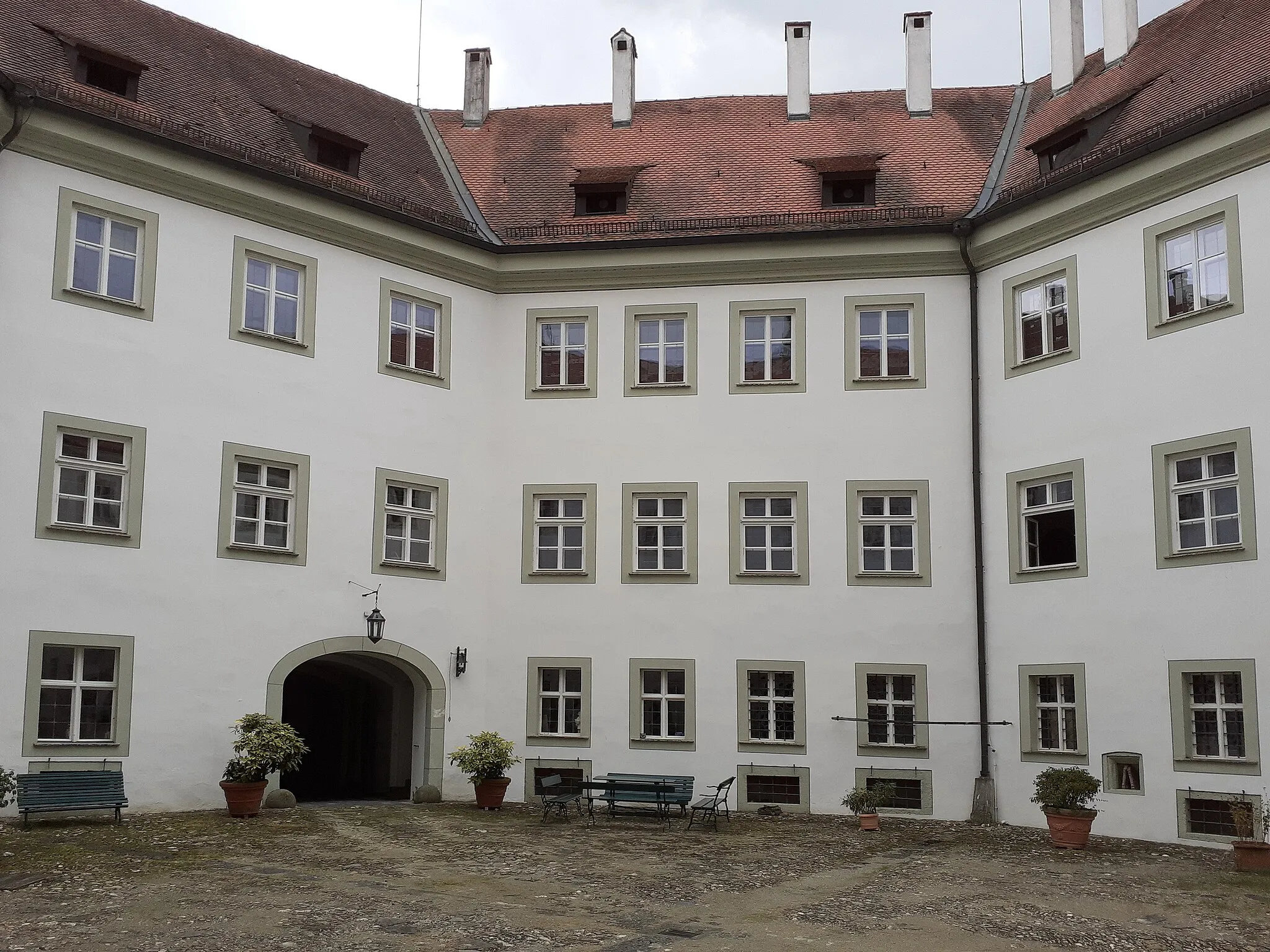
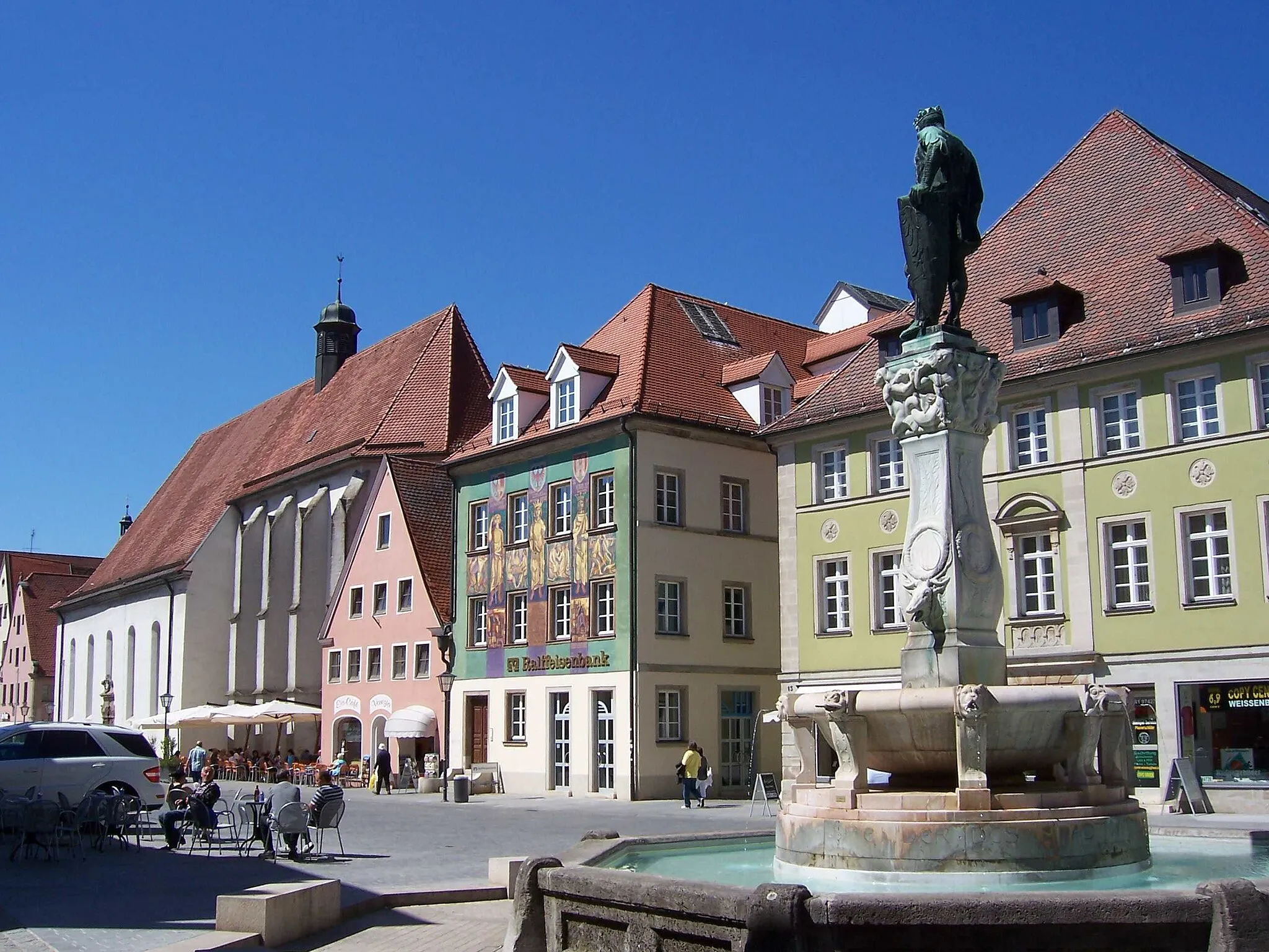
This 105 km road route starting near Teisendorf offers a challenging and rewarding cycling experience. With an ascent of 1054 m, you'll conquer steep climbs and enjoy breathtaking views of the Bavarian Alps and lakes. Along the way, you'll have the opportunity to explore charming towns and immerse yourself in the rich local culture.

Explore the charm of Teisendorf and surrounding countryside on this road cycling route.
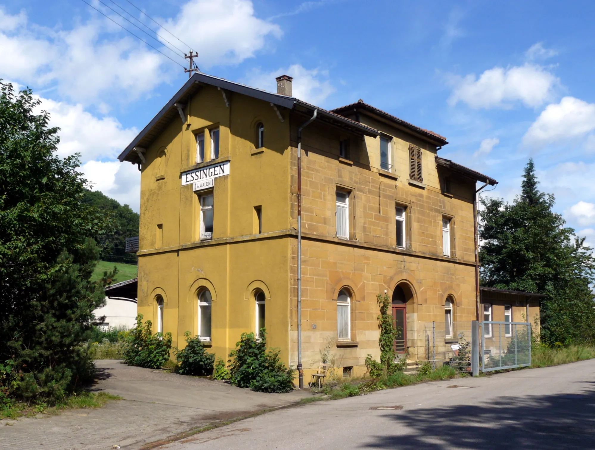
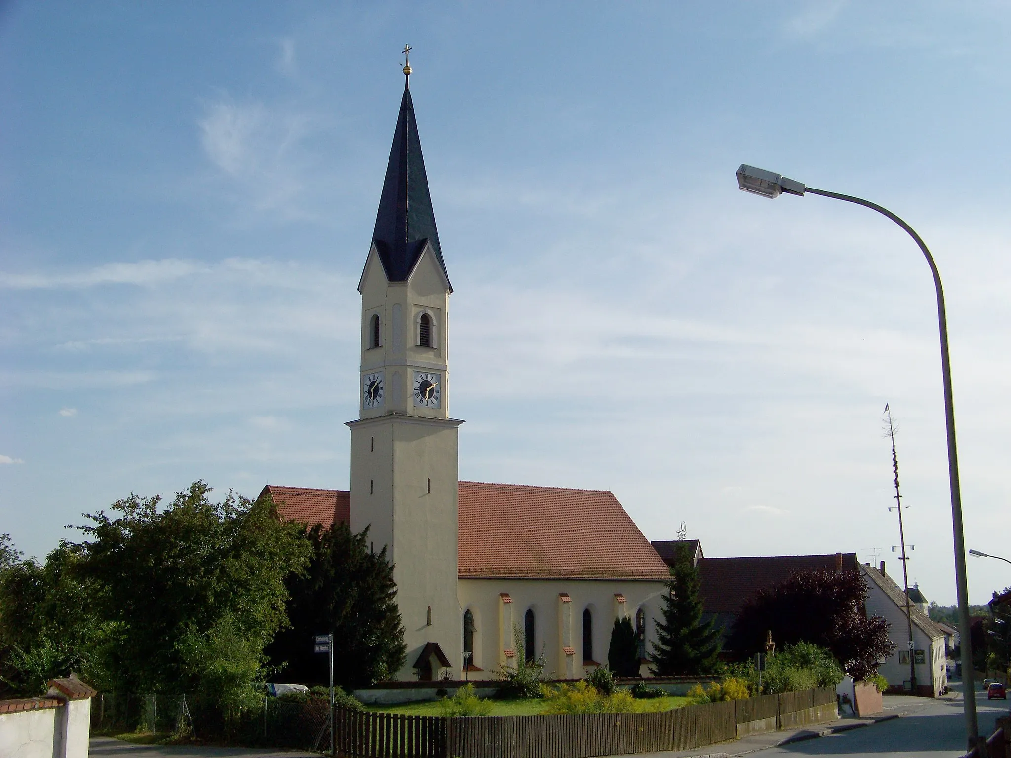
The Tour de Teisendorf is a delightful road cycling route that takes you through picturesque landscapes and charming towns. Starting in Teisendorf, known for its traditional Bavarian architecture, you'll ride through the scenic countryside, passing the beautiful town of Laufen (Salzach) and Saaldorf-Surheim. With a moderate ascent of 341 meters and a distance of 39 kilometers, this route is perfect for avid cyclists looking for an enjoyable ride with some rolling hills.
Embark on a challenging road cycling adventure through the beautiful Bavarian landscapes.
This 99 km road route starting near Teisendorf is perfect for experienced cyclists looking for a challenging and rewarding adventure. With an ascent of 1464 m, you'll conquer steep climbs, enjoy breathtaking views, and test your cycling skills.
Cycling routes nearby:


Nearby regions: