Cycle through the tranquil countryside of Niederfüllbach, Germany.
Cycling routes from Niederfuellbach
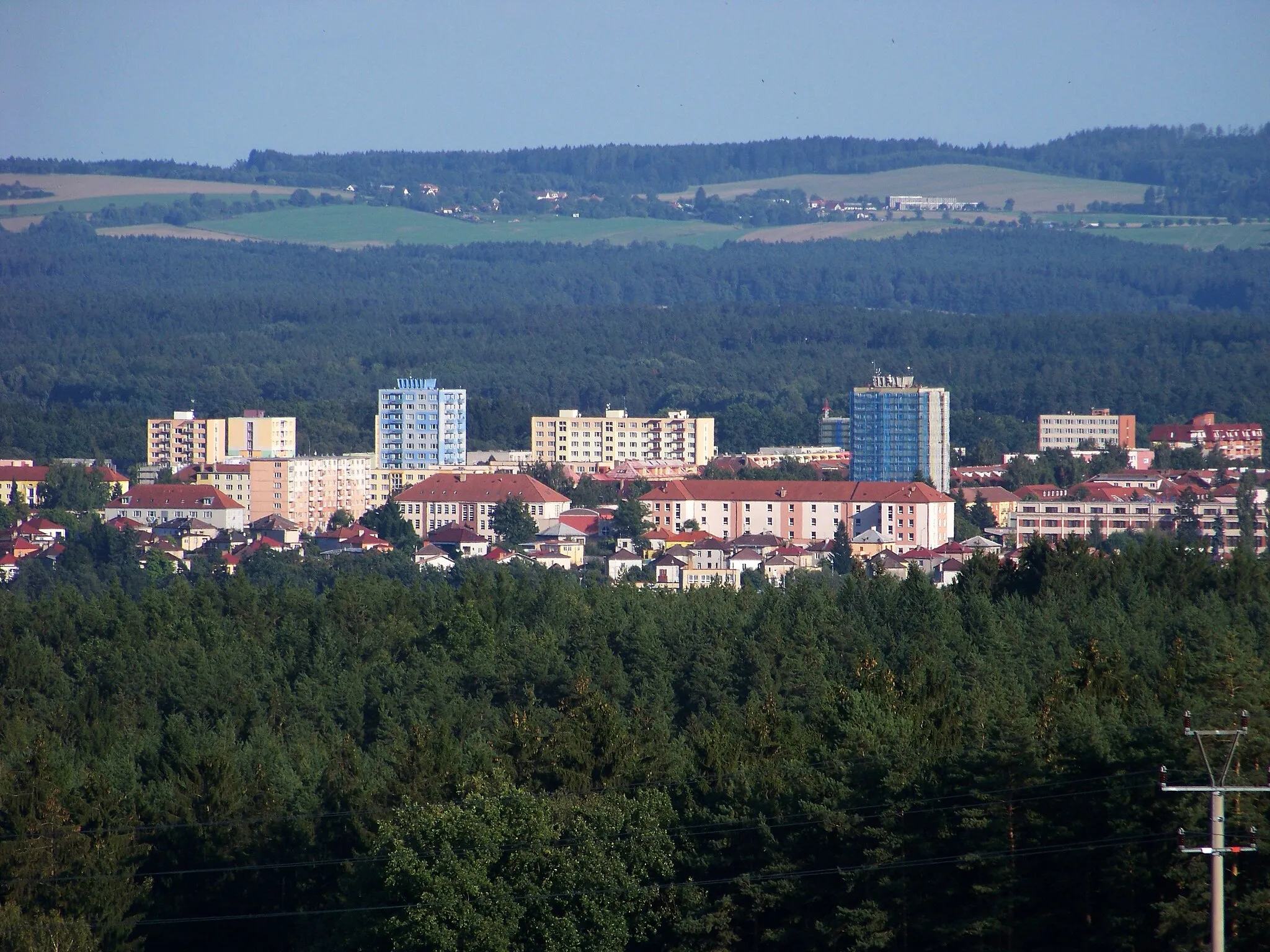
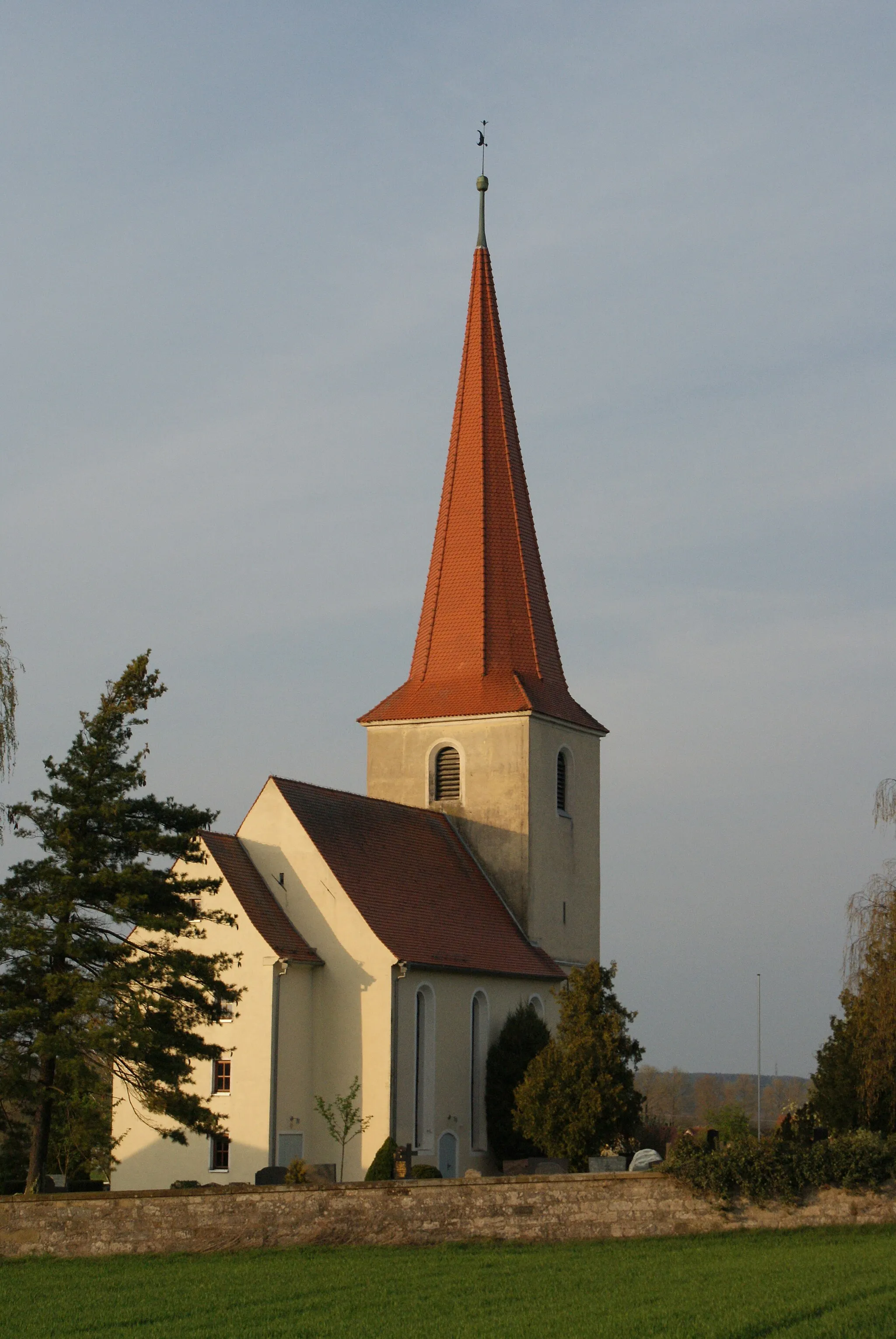
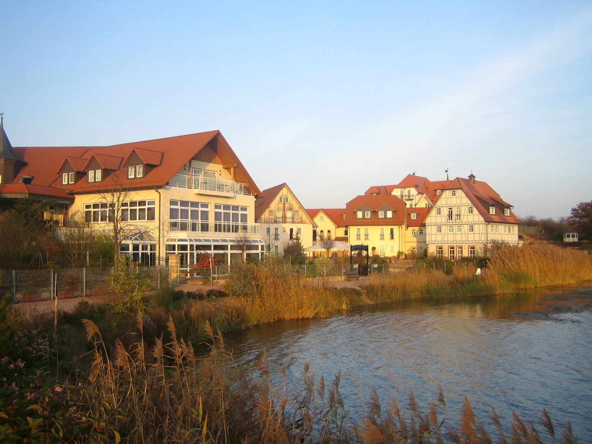
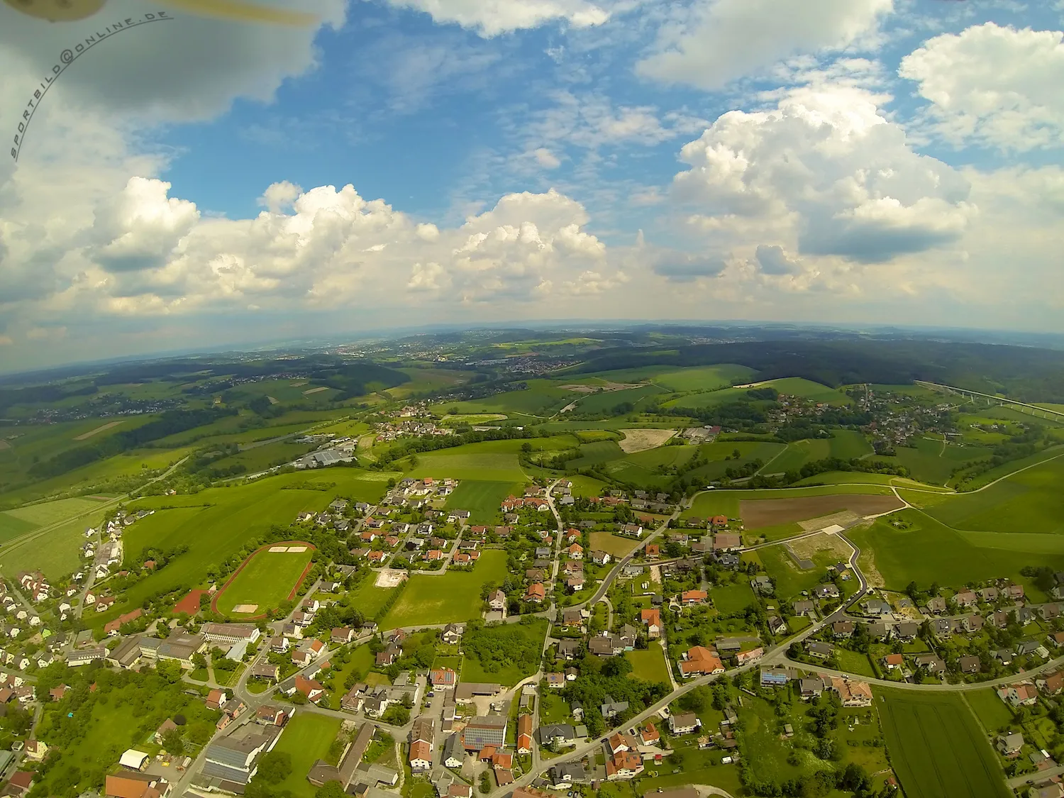
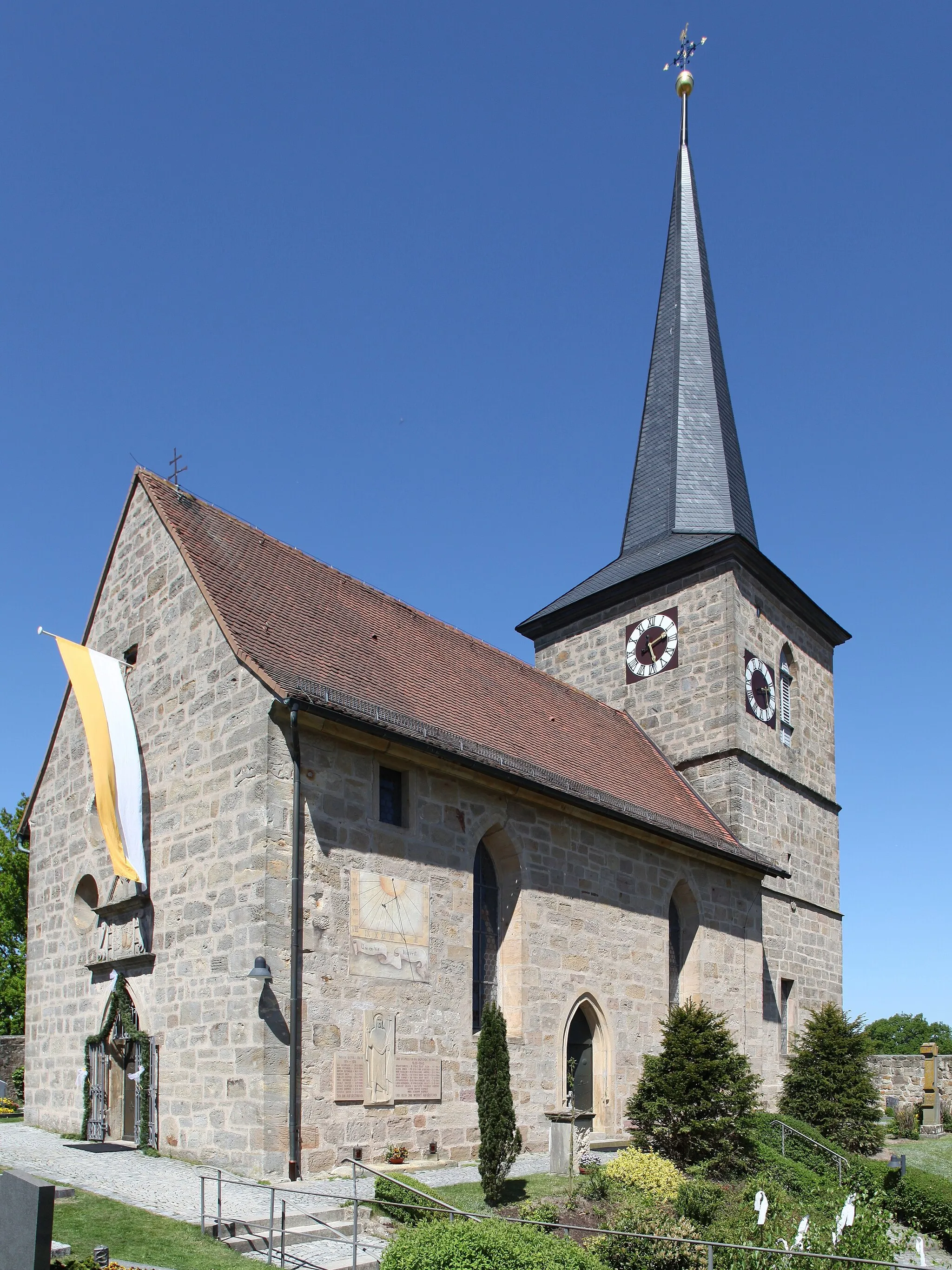
Niederfüllbach is a small village located in the Oberfranken region of Germany. From a cyclist's perspective, Niederfüllbach offers peaceful country roads that are perfect for enjoyable rides. The area is relatively flat, making it suitable for all levels of cyclists. One well-known nearby climb is the Staffelberg, a popular destination for cycling enthusiasts seeking a bit of a challenge. Overall, Niederfüllbach provides a serene and pleasant cycling experience in a picturesque German setting.
Veste Heldburg Loop
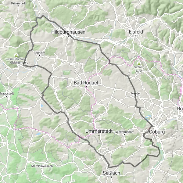
Immerse yourself in the historic landmarks and enchanting scenery of Veste Heldburg
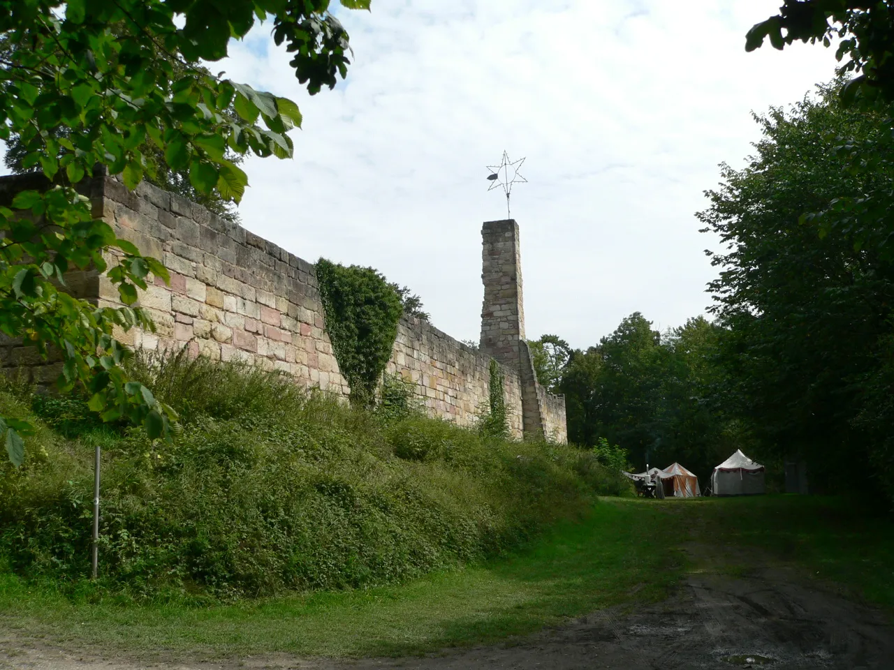
This road cycling route takes you on a journey through the cultural heritage and natural beauty of the Veste Heldburg region. With a distance of 101 km and an ascent of 895 m, the route offers a challenging yet rewarding experience. Highlights along the way include the majestic Veste Heldburg castle, the picturesque Linzarzberg, and the charming town of Hildburghausen. Marvel at the stunning views from Bismarckturm Hildburghausen and soak up the peaceful atmosphere of the enchanting village of Beiersdorf. This route is ideal for intermediate to advanced cyclists looking to explore the historical and natural wonders of the region.
Scenic Splendor of Coburg
Uncover the natural beauty and cultural heritage of the Coburg region
Embark on this captivating gravel cycling route that takes you through the scenic landscapes around Coburg. With a distance of 72 km and an ascent of 913 m, the route offers a perfect balance between challenge and enjoyment. Highlights along the way include the charming village of Spitz and Blauer Hügel, known for its blue-flowering plants. Experience the thrill of cycling on the adventurous Spitzweg trail and take in magnificent views of the surrounding countryside. This route is suitable for gravel bikes and is ideal for intermediate level cyclists.

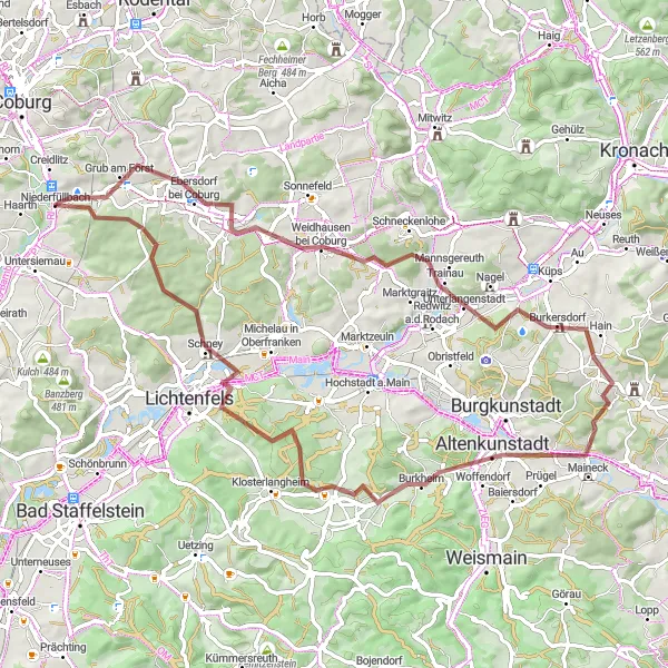
From the countryside to historical sites
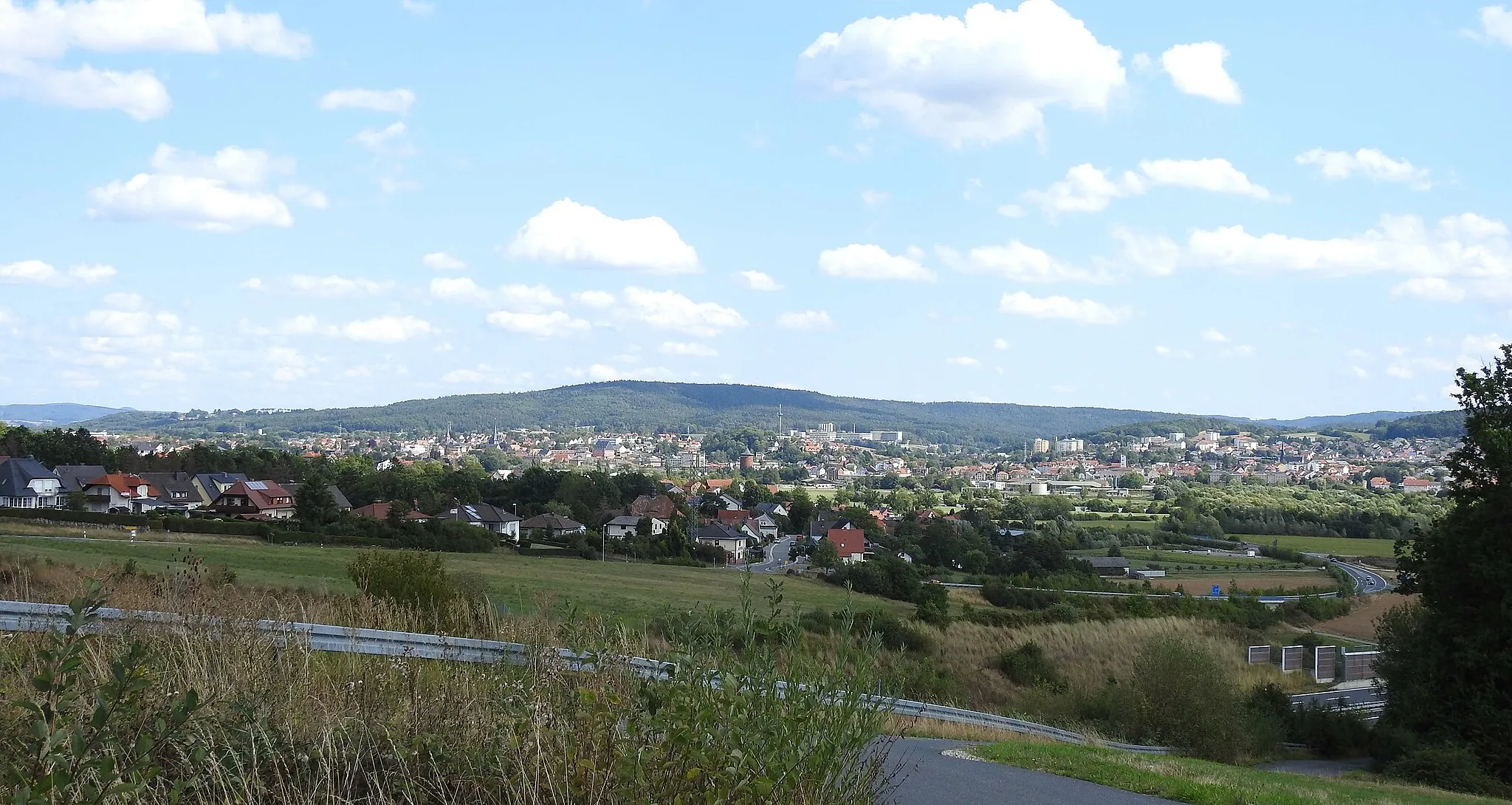
This road route takes you on a journey from the tranquility of Niederfüllbach to the historical landmarks of Ebelsberg. With a moderate difficulty level, it is suitable for well-trained amateur cyclists. The route covers a distance of 115 kilometers and has an elevation gain of 1079 meters. Along the way, you'll encounter attractions such as Großheirath, where you can enjoy scenic views, and Schloss Schney, a magnificent castle. Experience the cultural heritage of Breitengüßbach and Bischberg on your way to the final destination, Ebelsberg. This tour offers a mix of natural beauty and historical significance.
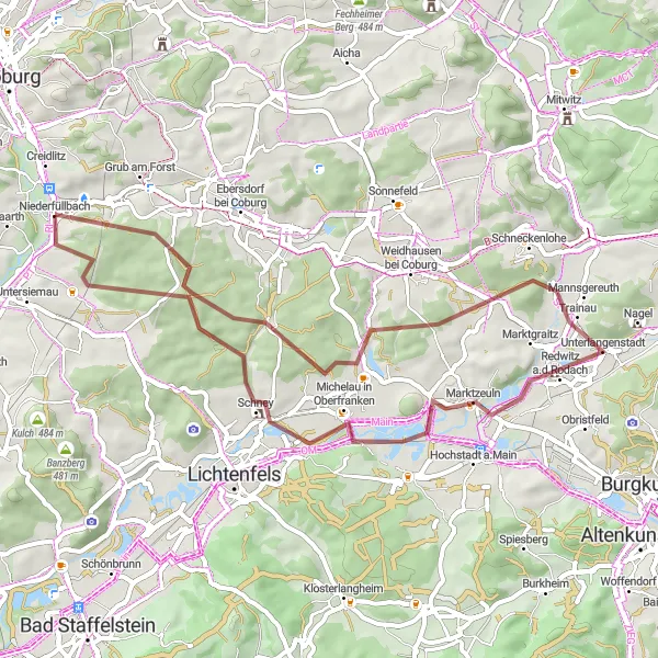
Through tranquil villages and picturesque landscapes
Embark on this gravel route that takes you through tranquil villages and picturesque landscapes. With a moderate difficulty level, it is suitable for well-trained amateur cyclists. Covering a distance of 50 kilometers and an elevation gain of 609 meters, this route showcases the beauty of the region. Along the way, you'll pass through Niederfüllbach, starting the journey in a peaceful village. Mönchsberg offers panoramic views, while Marktzeuln features traditional Franconian architecture. Schneckenlohe, your final destination, is a charming village surrounded by idyllic countryside. Enjoy the serene ambiance and immerse yourself in nature as you pedal through this scenic route.
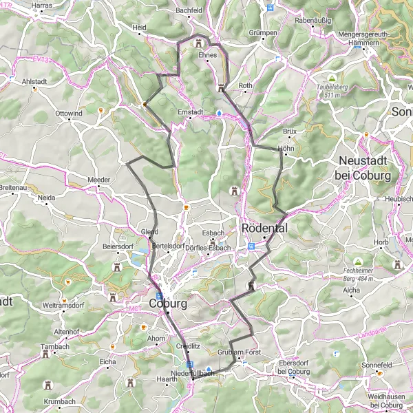
The Coburg Loop
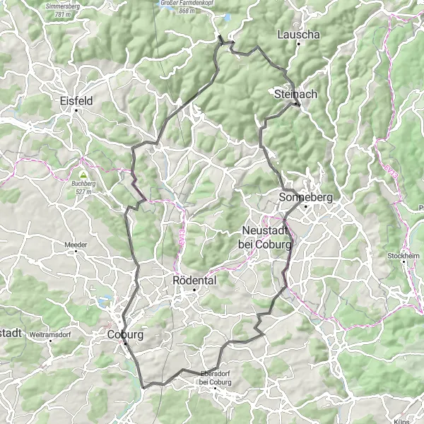
Discover the historic city of Coburg and its beautiful surroundings
The Coburg Loop is a scenic cycling route that takes you on a journey through the picturesque landscapes surrounding the historic city of Coburg in Oberfranken, Germany. This route offers a perfect mix of challenging climbs, stunning views, and cultural highlights.
Embark on a gravel adventure around Niederfüllbach
The Gravel Adventure is a thrilling 49 km ride that takes you off the beaten path around Niederfüllbach. With a total ascent of 666 m, this gravel route is suitable for experienced gravel riders looking for an adventurous ride. Along the way, you will encounter various highlights that add excitement to your journey.
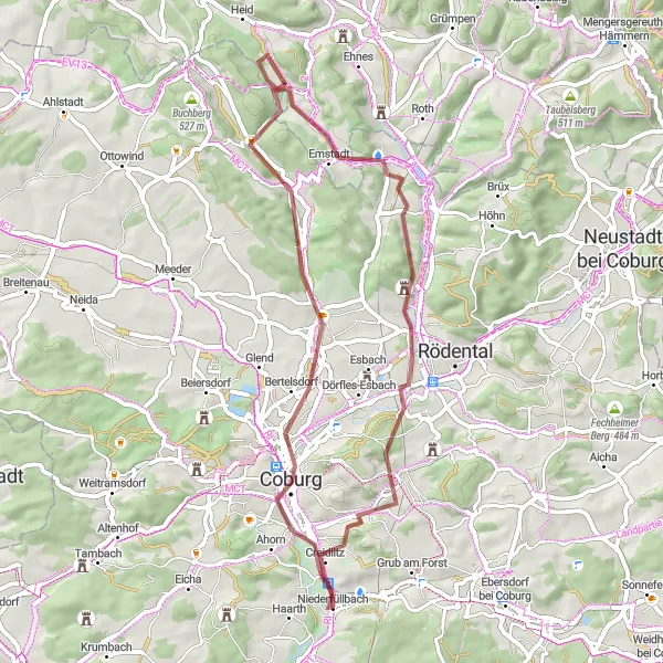
Experience the enchanting charm and architectural beauty of Coburg
Immerse yourself in the architectural splendor and cultural heritage of Coburg with this road cycling route. Covering a distance of 59 km with an ascent of 698 m, the route offers a delightful journey through picturesque landscapes and intriguing attractions. Highlights along the way include the historical landmarks of Coburg, Vogelbeobachtungsturm (bird observation tower), and Rödental with its charming small-town atmosphere. Enjoy captivating views from Goldberg and savor the serenity of Grub am Forst. This route is suitable for intermediate level cyclists and provides an excellent opportunity to discover the hidden gems of Coburg and its surroundings.
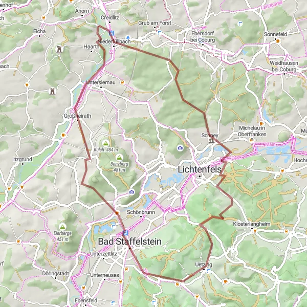
Discover stunning landscapes and historical sites
Embark on this gravel route that takes you through stunning landscapes and historical sites. With a moderate difficulty level, it is suitable for well-trained amateur cyclists. Covering a distance of 53 kilometers and an elevation gain of 699 meters, this route offers a mix of natural beauty and historical charm. Explore highlights such as Creidlitz, known for its charming old buildings, and Blauer Hügel, a famous landmark offering panoramic views. Mönchsberg rewards cyclists with breathtaking vistas, while Schloss Schney showcases magnificent architecture. Enjoy tranquil moments at Horsdorf before reaching the final destination of Breitbrunn, a village surrounded by picturesque landscapes.
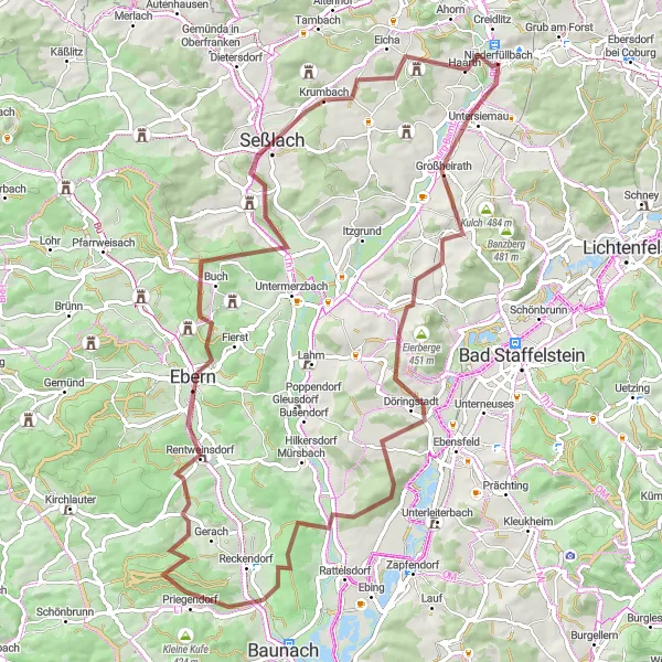
Discover the scenic beauty and rich history of Großheirath and Ruine Rotenhan
This round-trip gravel cycling route takes you through picturesque landscapes and offers deep insights into the history of the region. Starting near Niederfüllbach, you will experience challenging climbs and thrilling descents. The route is suitable for gravel bikes and covers a distance of 82 km with a total ascent of 1273 m. Highlights along the way include Großheirath, a charming village known for its half-timbered houses, and Ruine Rotenhan, an impressive medieval castle ruin.
Hügelland-Runde
Cycling through the hilly landscape of Niederfüllbach
The Hügelland-Runde offers a challenging ride through the beautiful countryside of its starting point, Niederfüllbach. With a total distance of 126 km and an ascent of 1115 m, this road cycling route is suitable for well-trained amateurs looking for a challenging ride. The route takes you through various highlights along the way.
Cycling routes nearby:


Nearby regions: