Relax and enjoy nature's beauty while cycling through Deuerling in Oberpfalz, Germany.
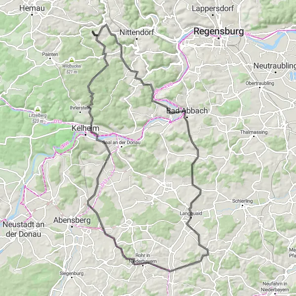
Cycling routes from Deuerling
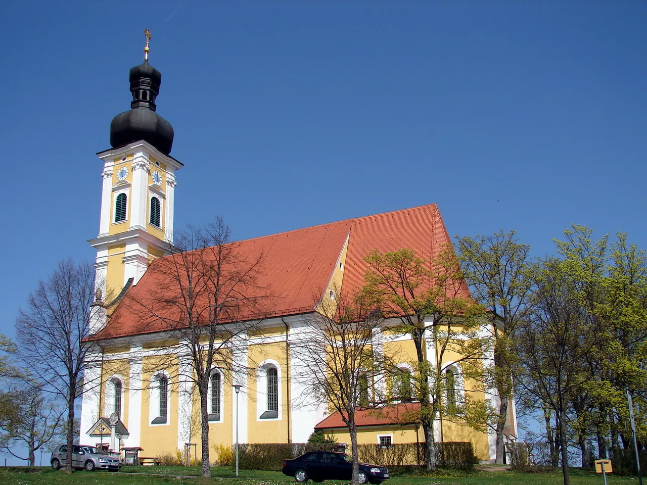
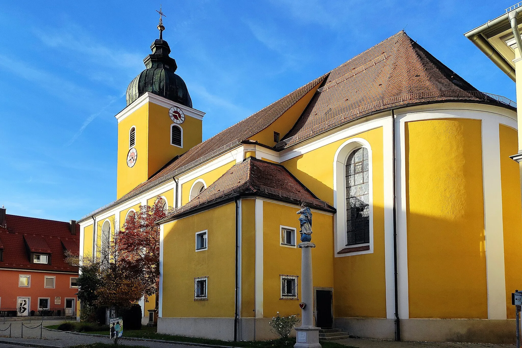
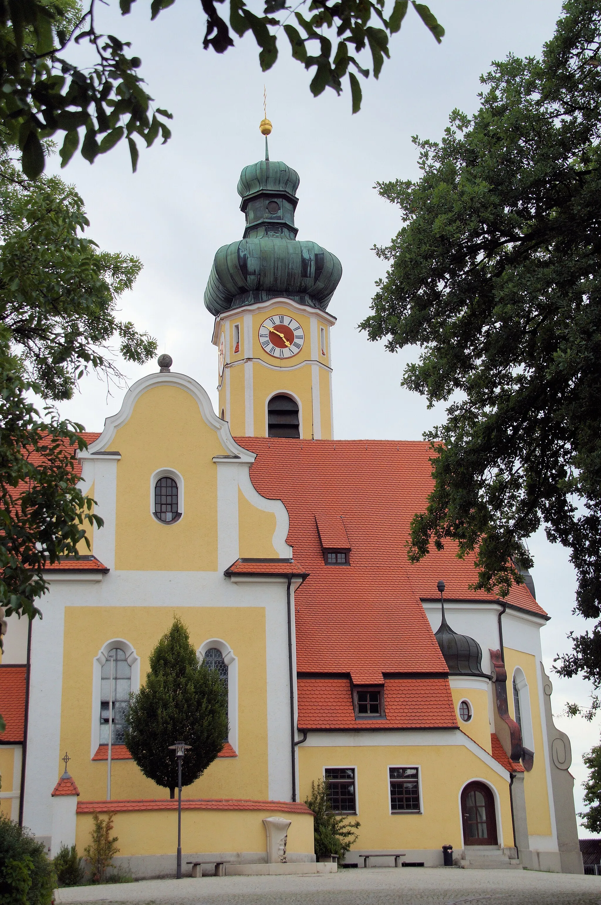
Deuerling, located in Oberpfalz, Germany, offers a charming and peaceful setting for road and gravel cycling. The locality is surrounded by idyllic landscapes, including vineyards and gentle hills, making it an appealing destination for nature-loving cyclists. Deuerling does not house any famous cycling-specific spots or renowned climbs, but it provides a serene environment for leisurely rides and exploration of the Oberpfalz region.
Experience the rolling hills and picturesque villages of Oberpfalz on this road route
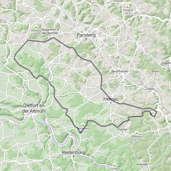
The Mantelberg Road Loop offers a scenic journey through the charming landscapes near Deuerling. With a total ascent of 918 meters and a distance of 80 kilometers, this road route is suitable for intermediate cyclists. Highlights along the way include Bachleiten, a quaint village with traditional Bavarian houses, and Mantelberg, a hill that offers panoramic views of the surrounding countryside. The difficulty of this route is rated 3 out of 5, making it accessible for moderately trained amateurs. In terms of epicness, it scores 2 out of 5.
Hoppefelsen Loop
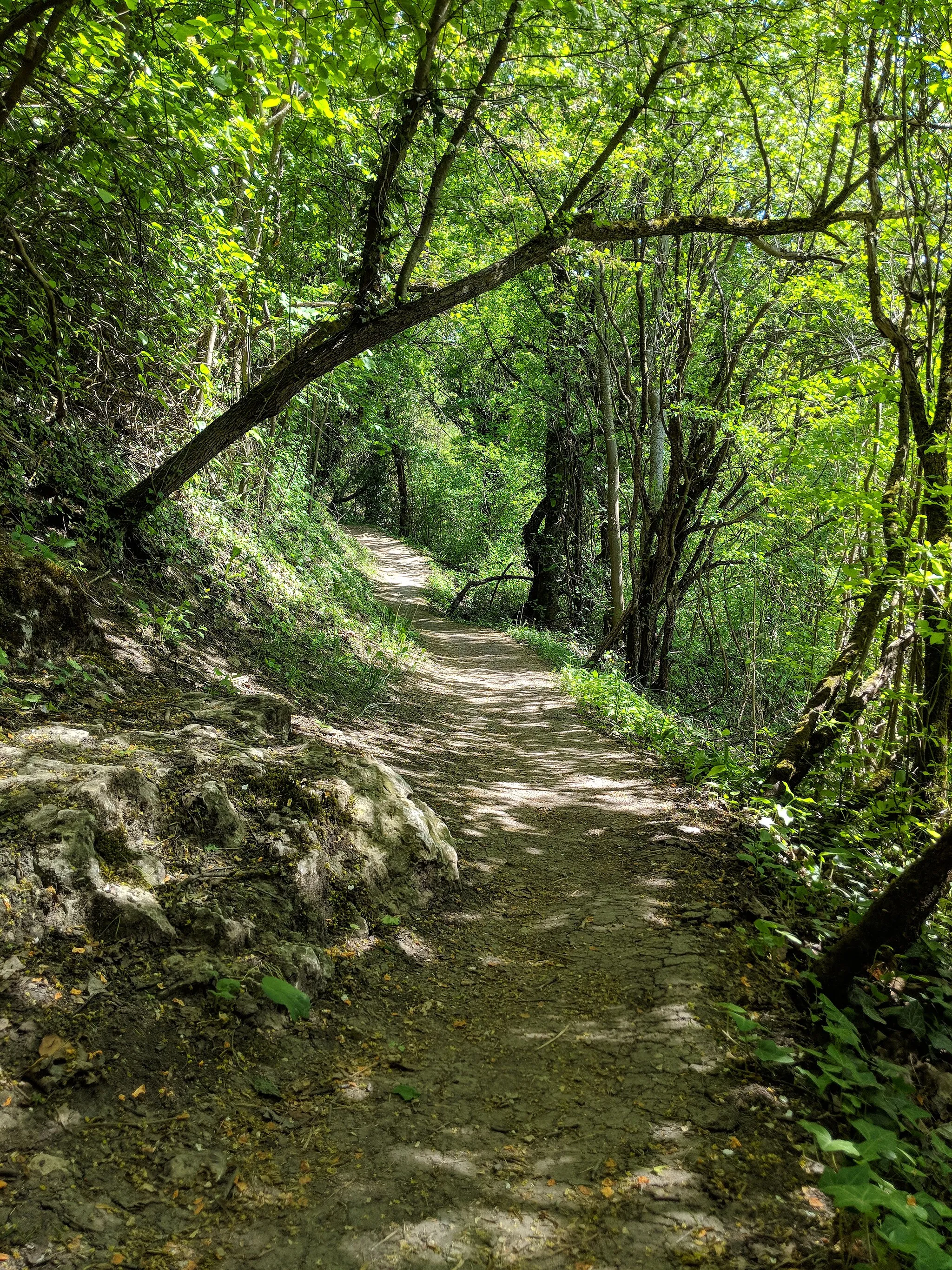
Discover the rugged beauty of the Oberpfalz region on this gravel route
The Hoppefelsen Loop is a challenging gravel route that takes you through the scenic landscapes near Deuerling. With a total ascent of 1,472 meters and a distance of 94 kilometers, this route promises a thrilling adventure for experienced gravel cyclists. Along the way, you will encounter highlights such as Hoppefelsen, a unique rock formation that provides breathtaking views of the surrounding countryside. The difficulty of this route is rated 4 out of 5, suitable for well-trained amateurs, while its epicness is rated 3 out of 5.
Experience the beauty of the Bavarian countryside on this scenic gravel circuit with breathtaking views
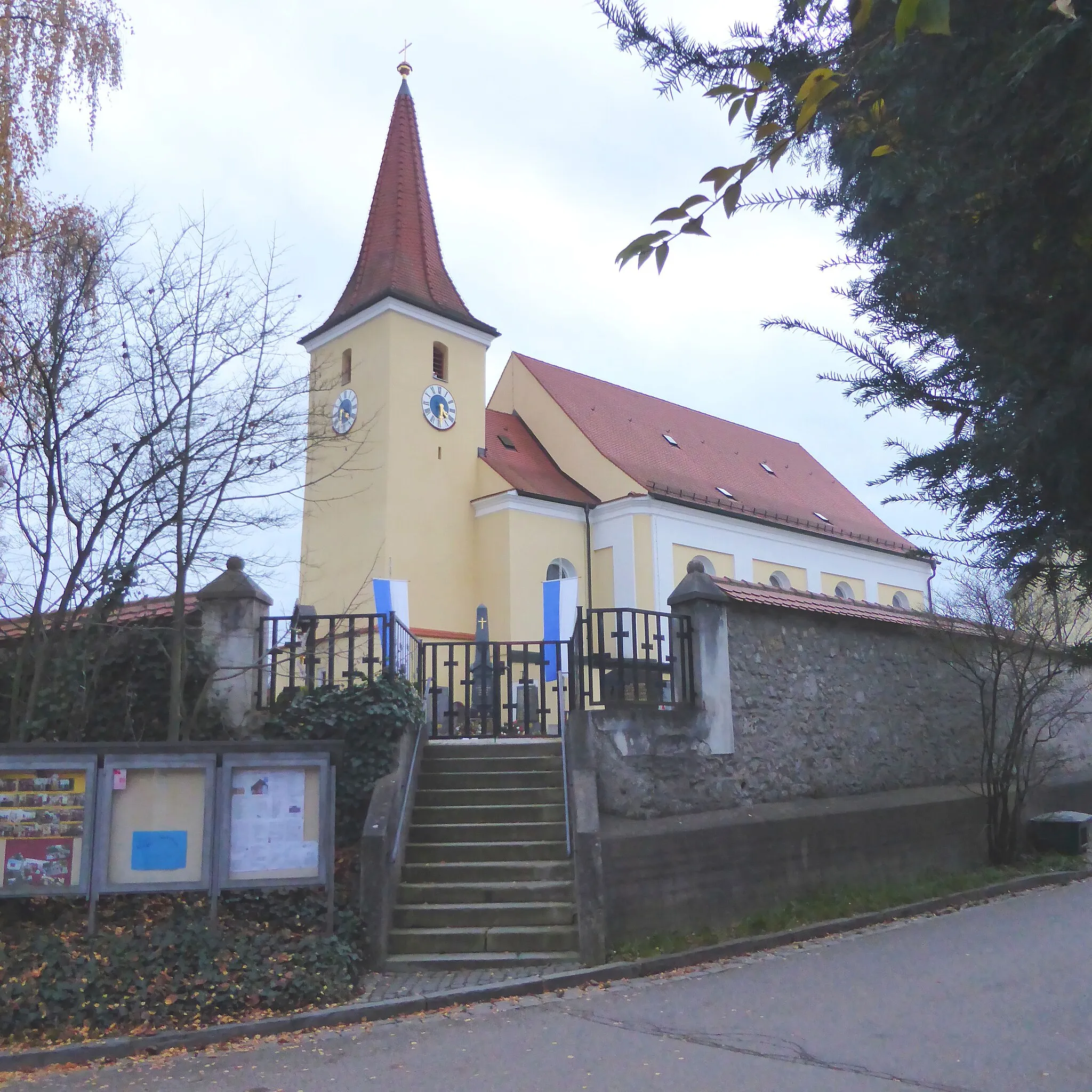
This scenic gravel route takes you through the picturesque Bavarian countryside, starting near Deuerling and passing through Essing before reaching Sauberg. The route then continues to Schwammerl and Schaitdorf before heading towards Hohenschambach and Kruckenberg. With a total ascent of 1006 meters over a distance of 58 kilometers, this route offers a good challenge for gravel enthusiasts seeking breathtaking views. The highlights of this route include the enchanting Deuerling, where you'll start your journey surrounded by traditional Bavarian architecture, and the remarkable Hohenschambach with its majestic castle ruins. Overall, this scenic gravel circuit is a perfect choice for those looking to experience the beauty of the Bavarian countryside.
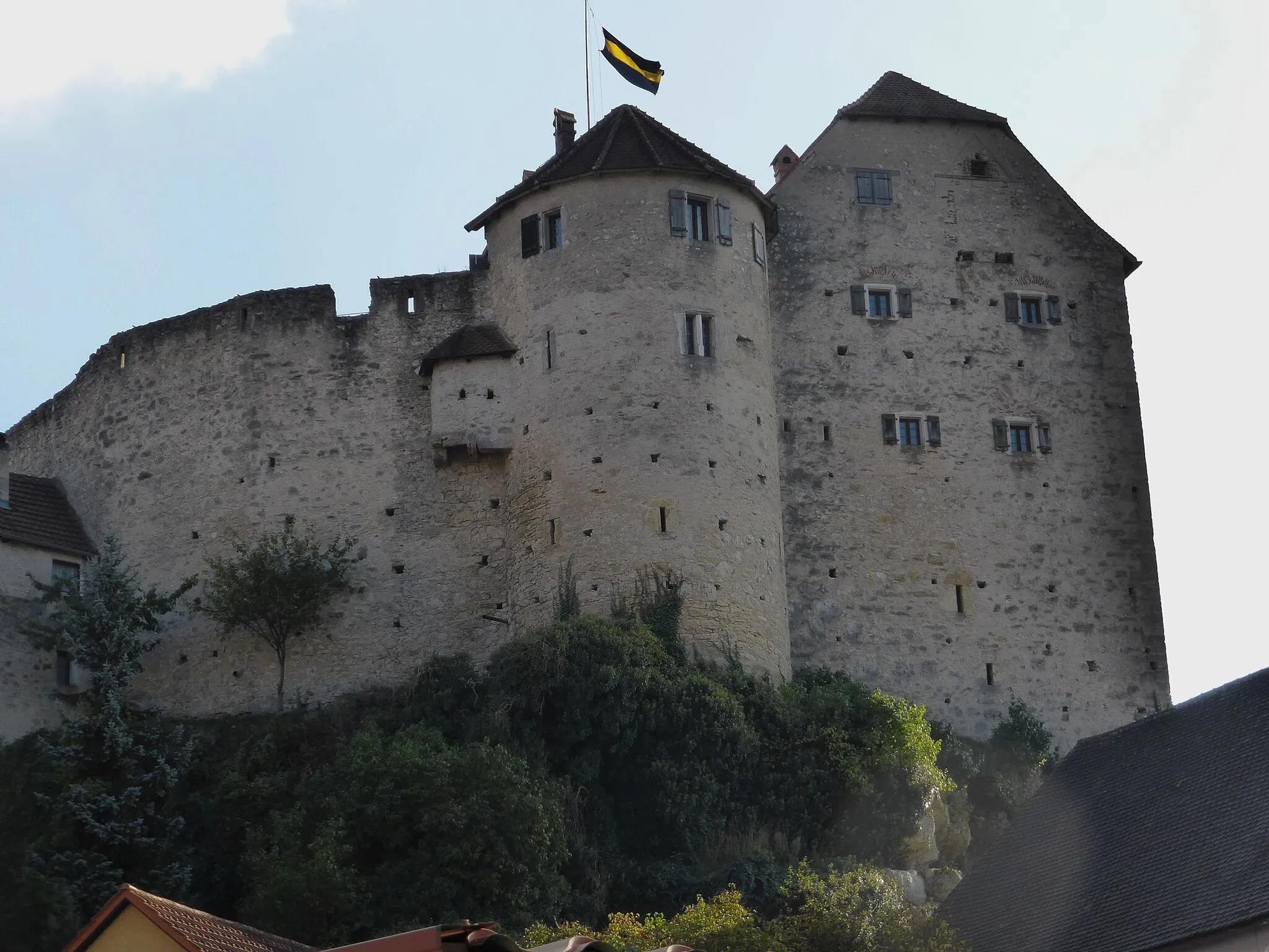
Burg Prunn Road Loop
Cycle to the medieval Burg Prunn and explore the rich history along the way
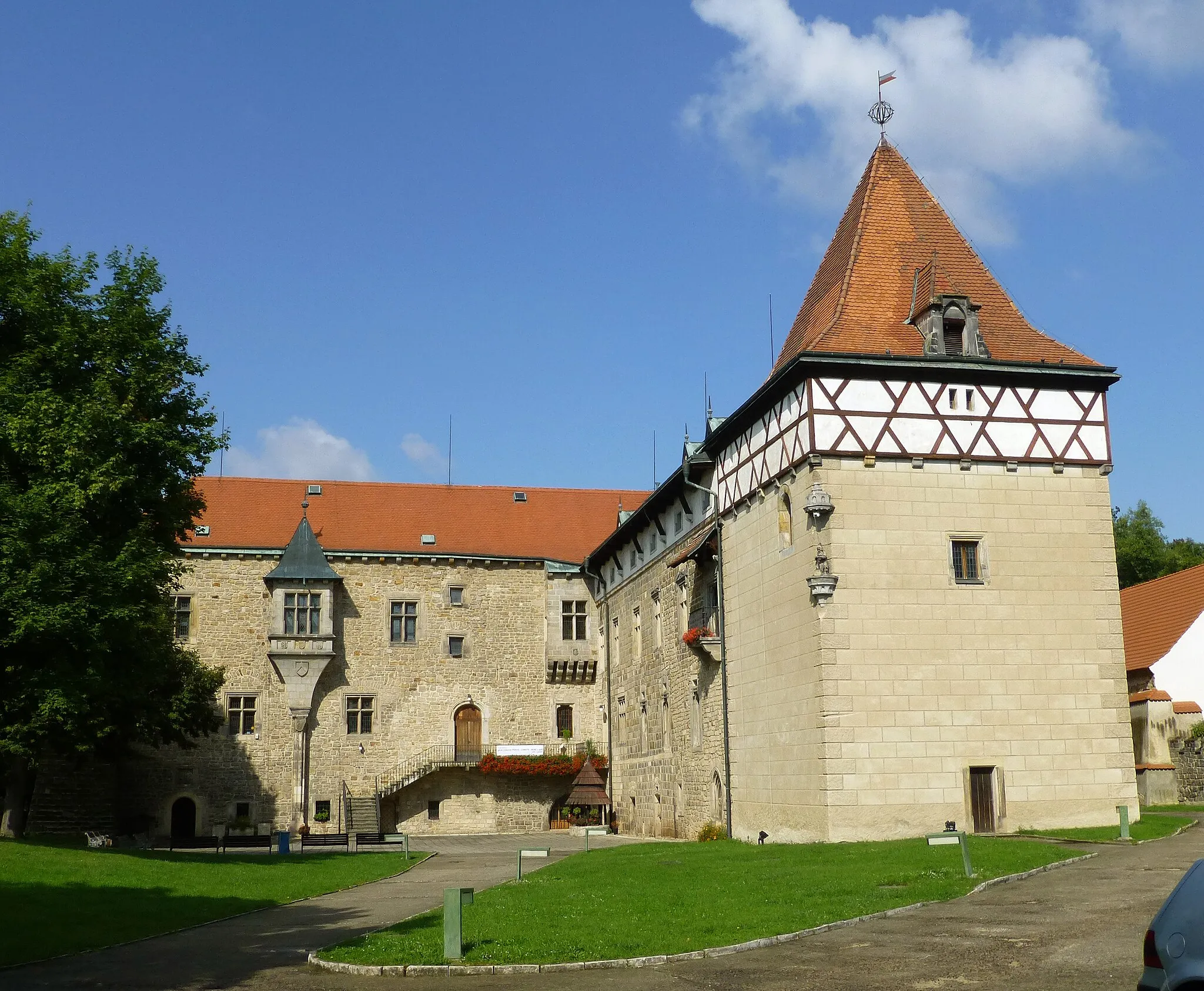
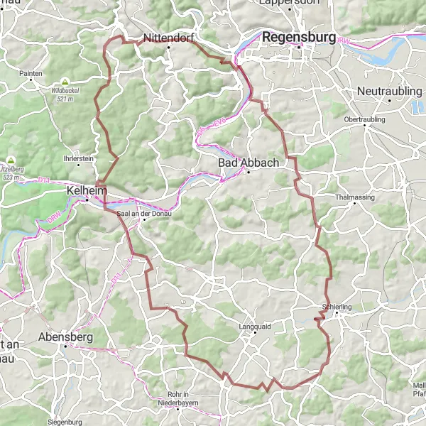
The Burg Prunn Road Loop takes you on a journey through the historical landmarks of the Oberpfalz region near Deuerling. With a total ascent of 1,274 meters and a distance of 89 kilometers, this road route promises both scenic beauty and cultural exploration. Highlights along the way include Dürrenberg, a charming village with traditional German architecture, and Burg Prunn, a medieval castle known for its impressive architecture. The difficulty of this route is rated 4 out of 5, suitable for well-trained amateurs, while its epicness is rated 3 out of 5.
Embark on an epic cycling adventure through the Eichhofen region
The Eichhofen Adventure is a challenging road route that explores the diverse landscapes near Deuerling. With a total ascent of 1,605 meters and a distance of 140 kilometers, this route is suitable for experienced cyclists seeking an epic ride. Highlights along the way include Eichhofen, a picturesque village surrounded by vineyards, and Römischer Wachturm (Limes) 15/25, a Roman watchtower with historical significance. The difficulty of this route is rated 5 out of 5, making it a demanding challenge even for well-trained amateurs. In terms of epicness, it scores 4 out of 5.
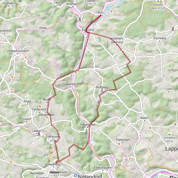
Embark on a gravel adventure to the historic village of Kallmünz
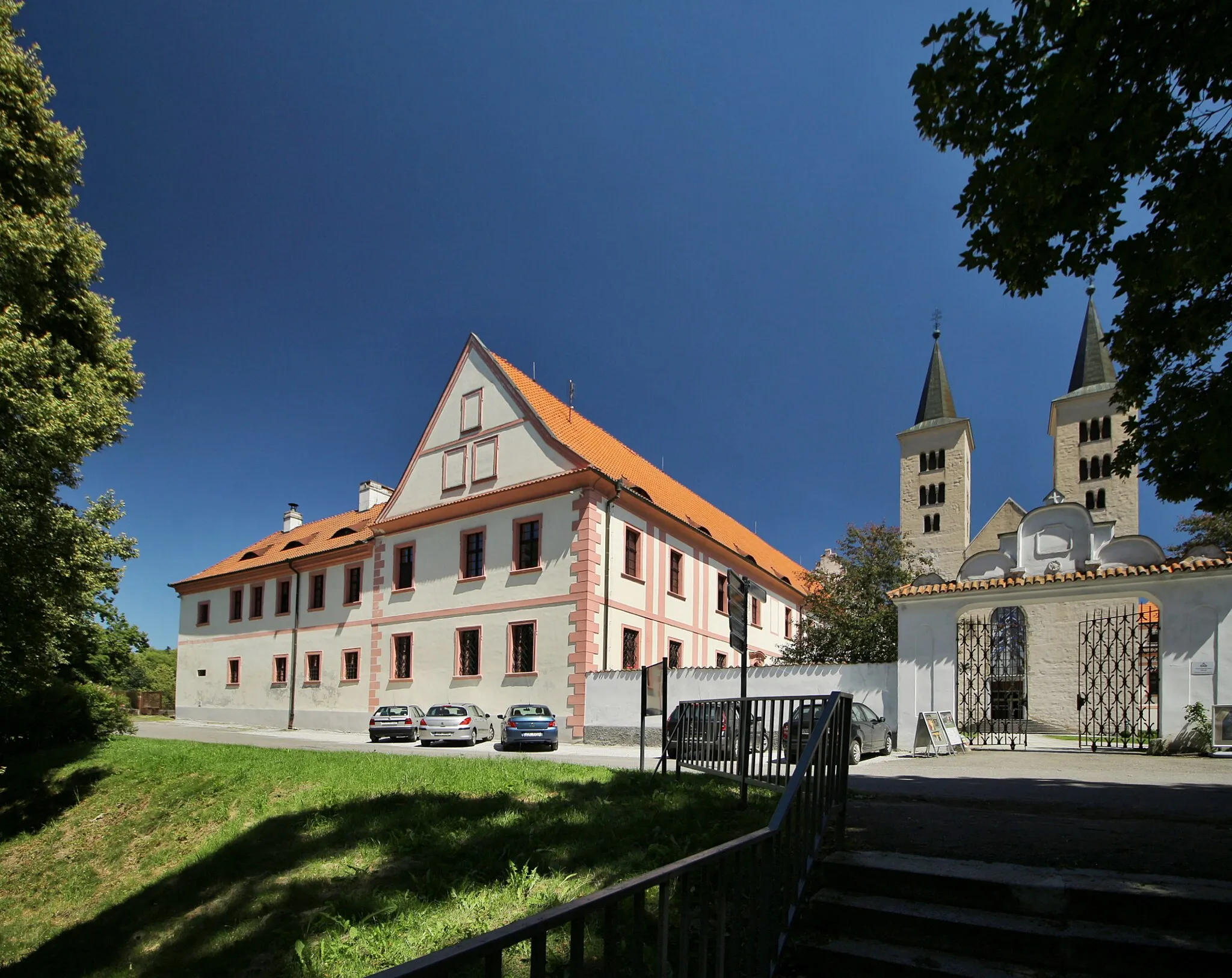
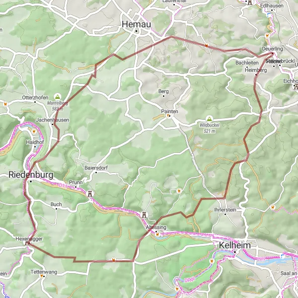
The Kallmünz Gravel Loop takes you on a journey to the picturesque village of Kallmünz and the surrounding landscapes near Deuerling. With a total ascent of 809 meters and a distance of 67 kilometers, this gravel route is suitable for experienced cyclists. Along the way, you will encounter highlights such as Pielenhofen, a Benedictine monastery with a rich history, and Kallmünz, a charming village known for its medieval castle. The difficulty of this route is rated 3 out of 5, making it accessible for moderately trained amateurs. In terms of epicness, it scores 2 out of 5.
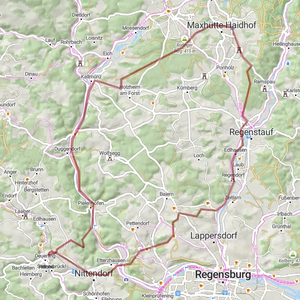
Pielenhofen - Undorf Loop
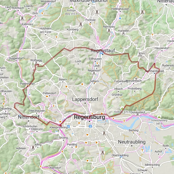
Experience the beauty of the Naab river and explore stunning castles along this gravel route.
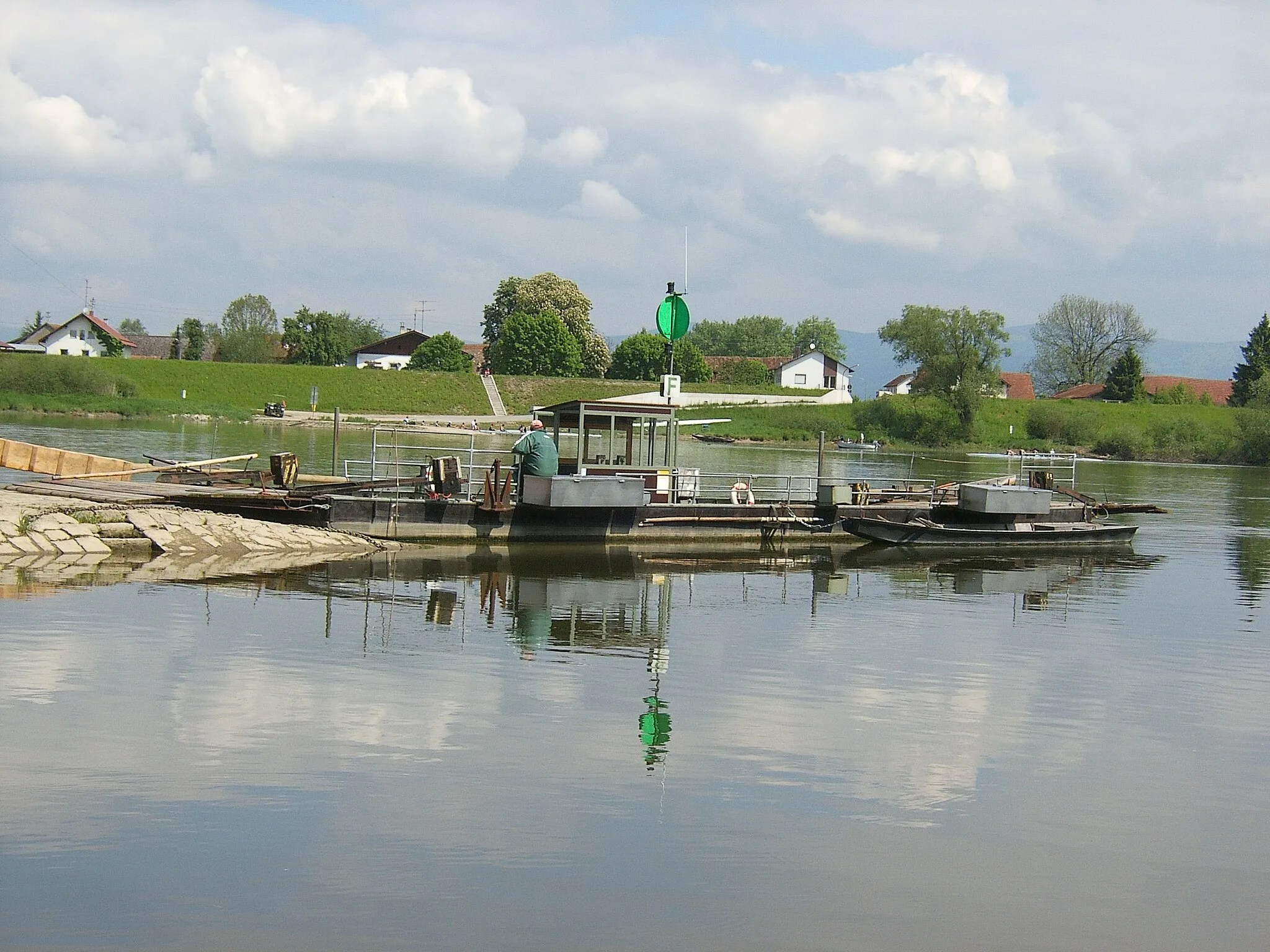
Embark on a scenic journey along the Naab river, passing by the historic Pielenhofen Abbey and Schloss Spindlhof. Marvel at the panoramic views from Schlossbergturm and enjoy the charming village of Bernhardswald. Reach new heights as you conquer the challenging Keilstein climb before descending into the vibrant city of Regensburg. Finally, catch a breathtaking glimpse of the Naab river from Naabblick and Undorf.
Embark on a gravel adventure through scenic landscapes and visit the quaint village of Pielenhofen
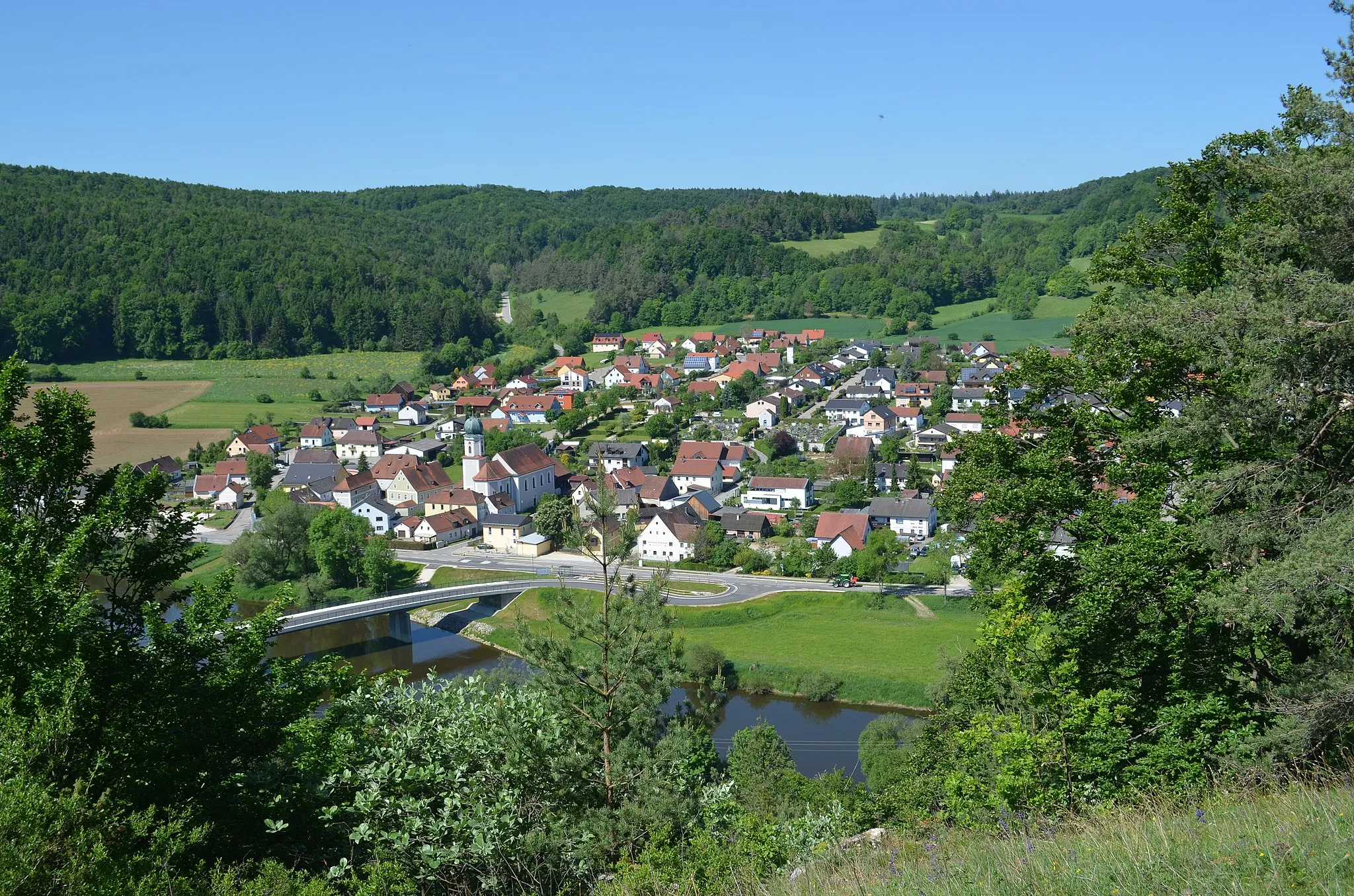
This gravel route takes you on an off-road adventure through scenic landscapes and rural areas. Starting near Deuerling, you'll pass Steinbuckel and Heitzenhofen before reaching the charming village of Pielenhofen. With a total ascent of 726 meters over a distance of 48 kilometers, this route offers a moderate challenge for gravel enthusiasts. The highlights of this route include the picturesque Steinbuckel, offering serene surroundings for a peaceful break, and the idyllic village of Pielenhofen, known for its traditional architecture and historical significance. Overall, this gravel adventure provides a unique and immersive cycling experience in the heart of Bavaria.

Discover the hidden gems and picturesque landscapes near Kelheim on this short but delightful route
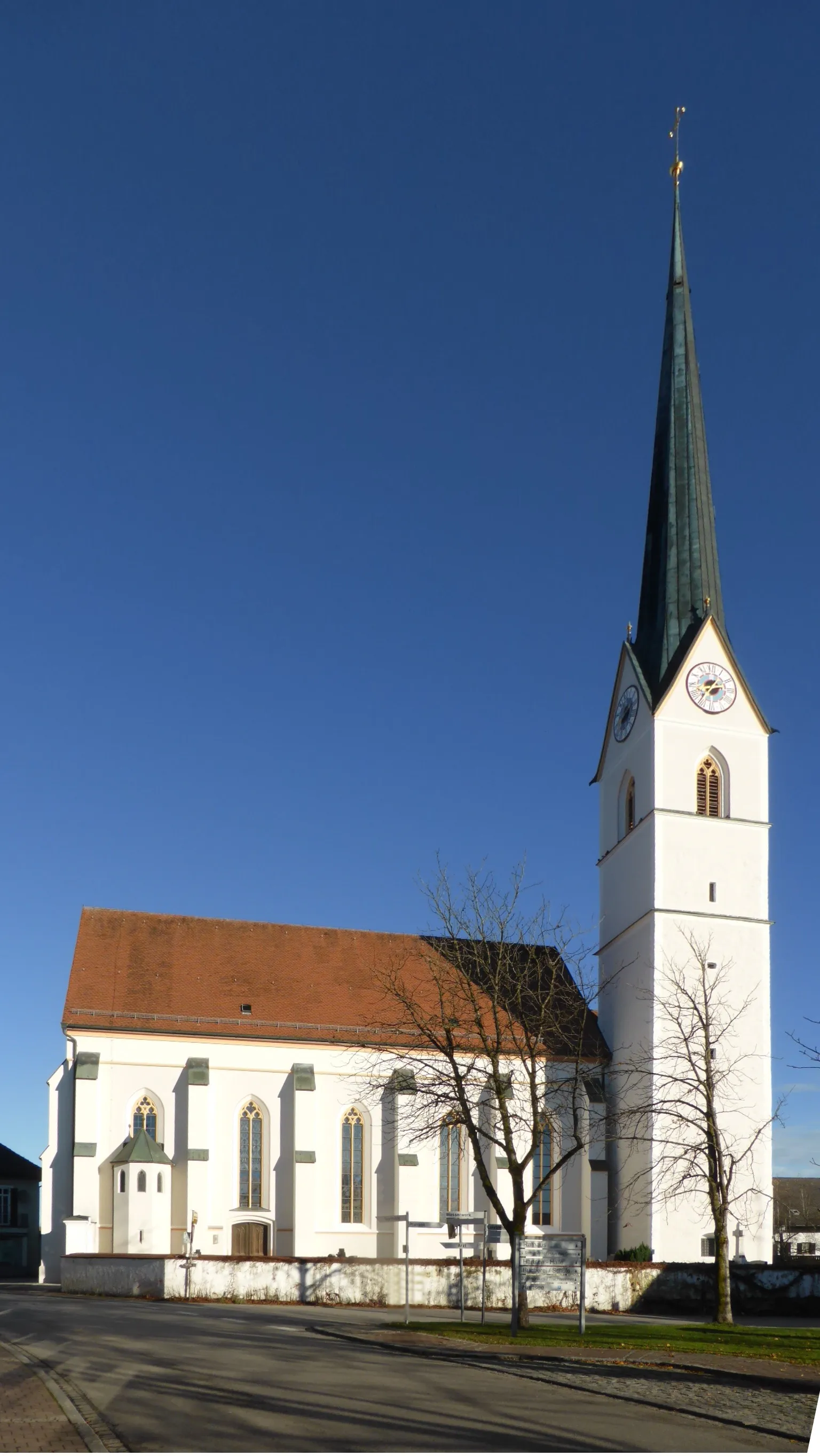
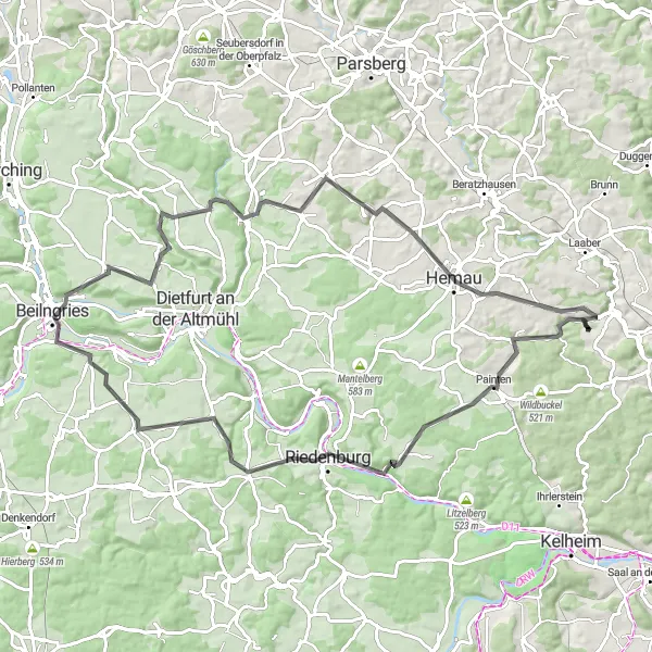
This route offers a journey through lesser-known paths and hidden gems near Kelheim. Starting near Deuerling, you'll pass Loch Castle and Stockenberg before heading towards Kelheim. The route then continues to Maria Fels and Rehberg before reaching Dürrenberg and Bachleiten. With a total ascent of 603 meters over a distance of 42 kilometers, this route is suitable for cyclists seeking a shorter but delightful scenic challenge. The highlights of this route include the enchanting Loch Castle, Maria Fels with its stunning church perched on a hilltop, and the panoramic views from the Rehberg viewpoint. Overall, this exploration of undiscovered routes near Kelheim provides a perfect mix of natural beauty and tranquility.
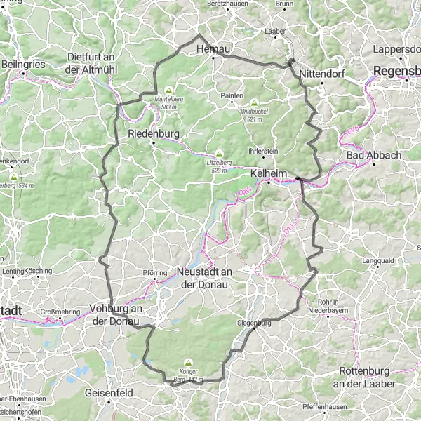
Picturesque Circuit to Kelheim
Experience the picturesque landscapes and visit the historic landmarks on this circuit through Kelheim
This scenic route takes you through beautiful landscapes, charming villages, and historic landmarks. Starting near Deuerling, you'll pass Loch Castle and Hellerberg before heading towards Langquaid and Rohr in Niederbayern. The route then continues to Goldberg and Kelheim, where you can explore the famous Kelheim Abbey and the impressive Befreiungshalle. With a total ascent of 1077 meters over a distance of 93 kilometers, this route offers a good challenge for well-trained cyclists. The highlights of the route include the fascinating Loch Castle, which dates back to the 12th century, and the breathtaking views from the Sulzberg viewpoint. Overall, this route provides a perfect blend of natural beauty and historical significance.
Cycling routes nearby:

Nearby regions: