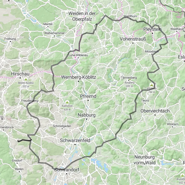
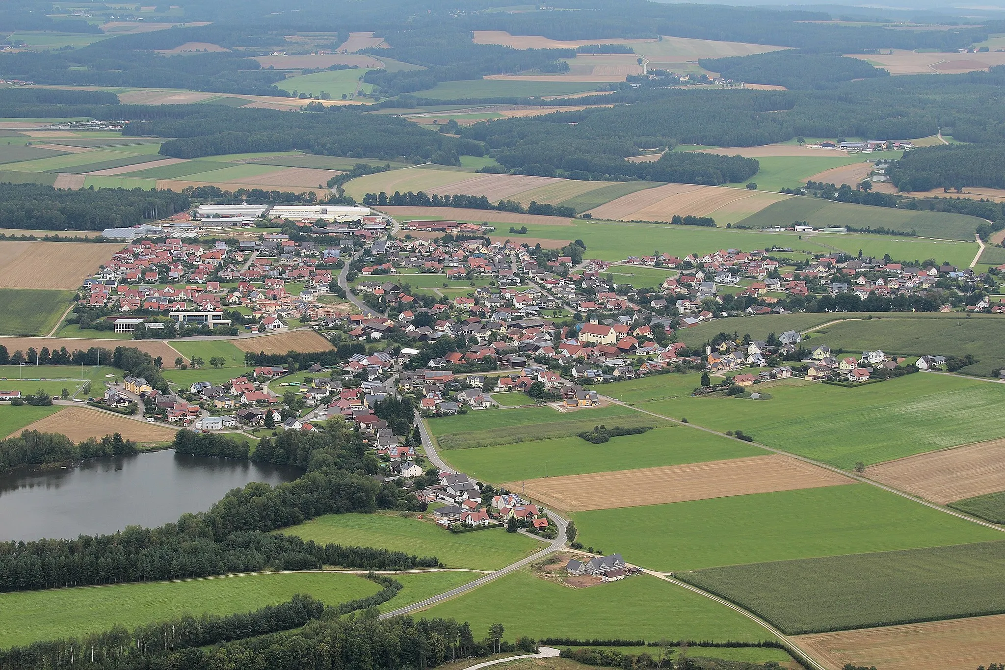
Idyllic locality in Oberpfalz with diverse cycling routes and access to the Upper Palatinate Forest.
Cycling routes from Ebermannsdorf
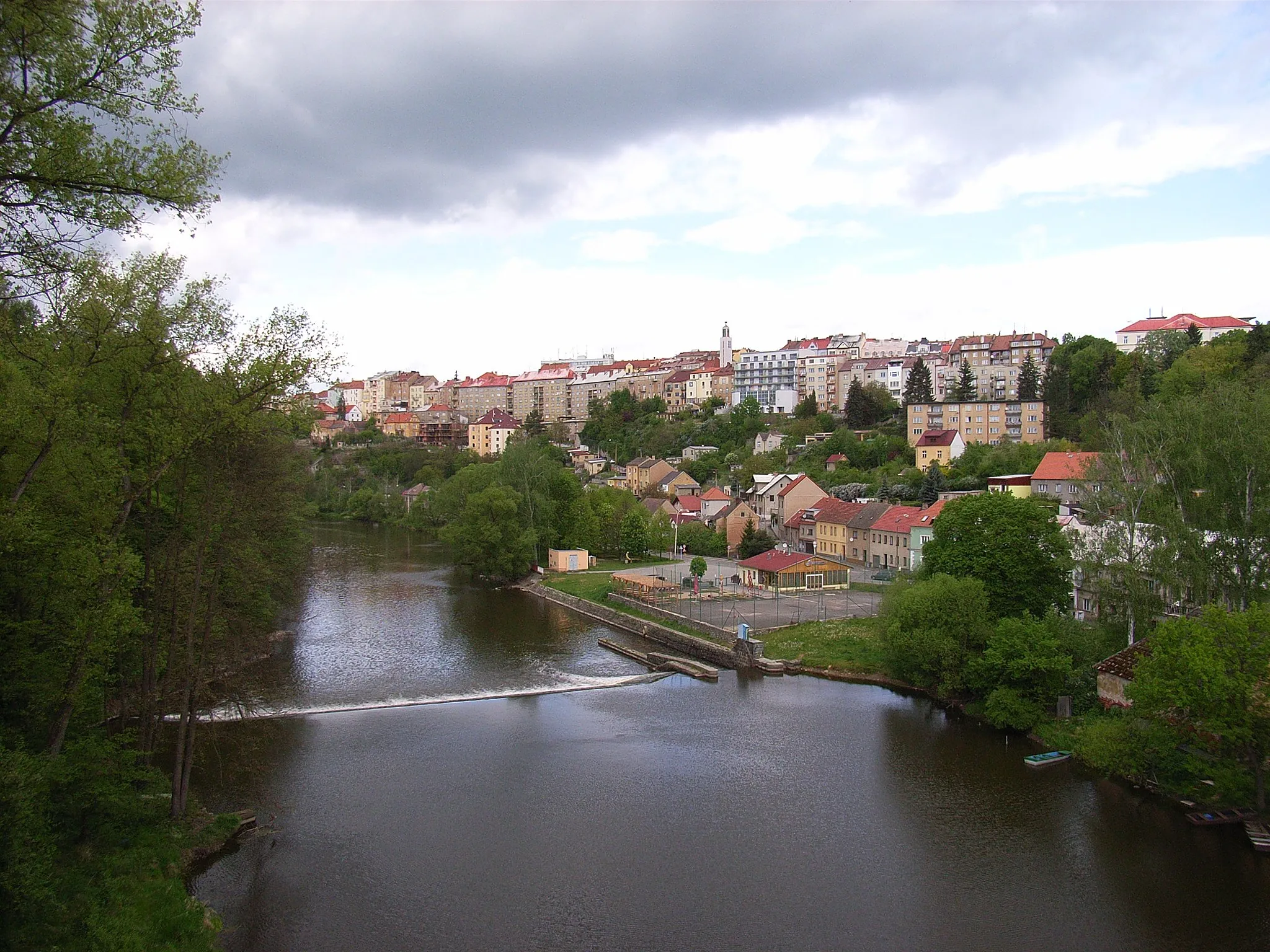
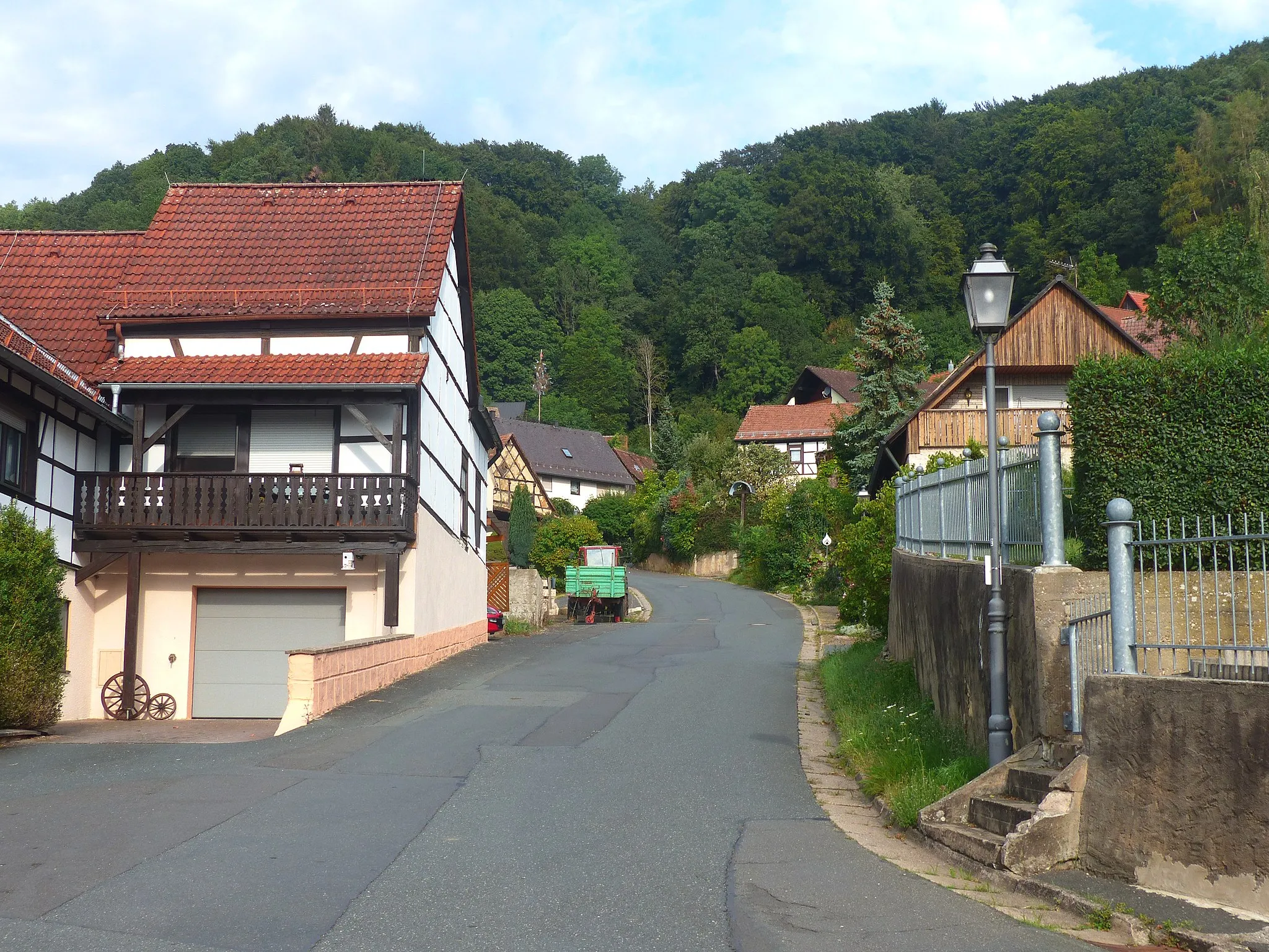
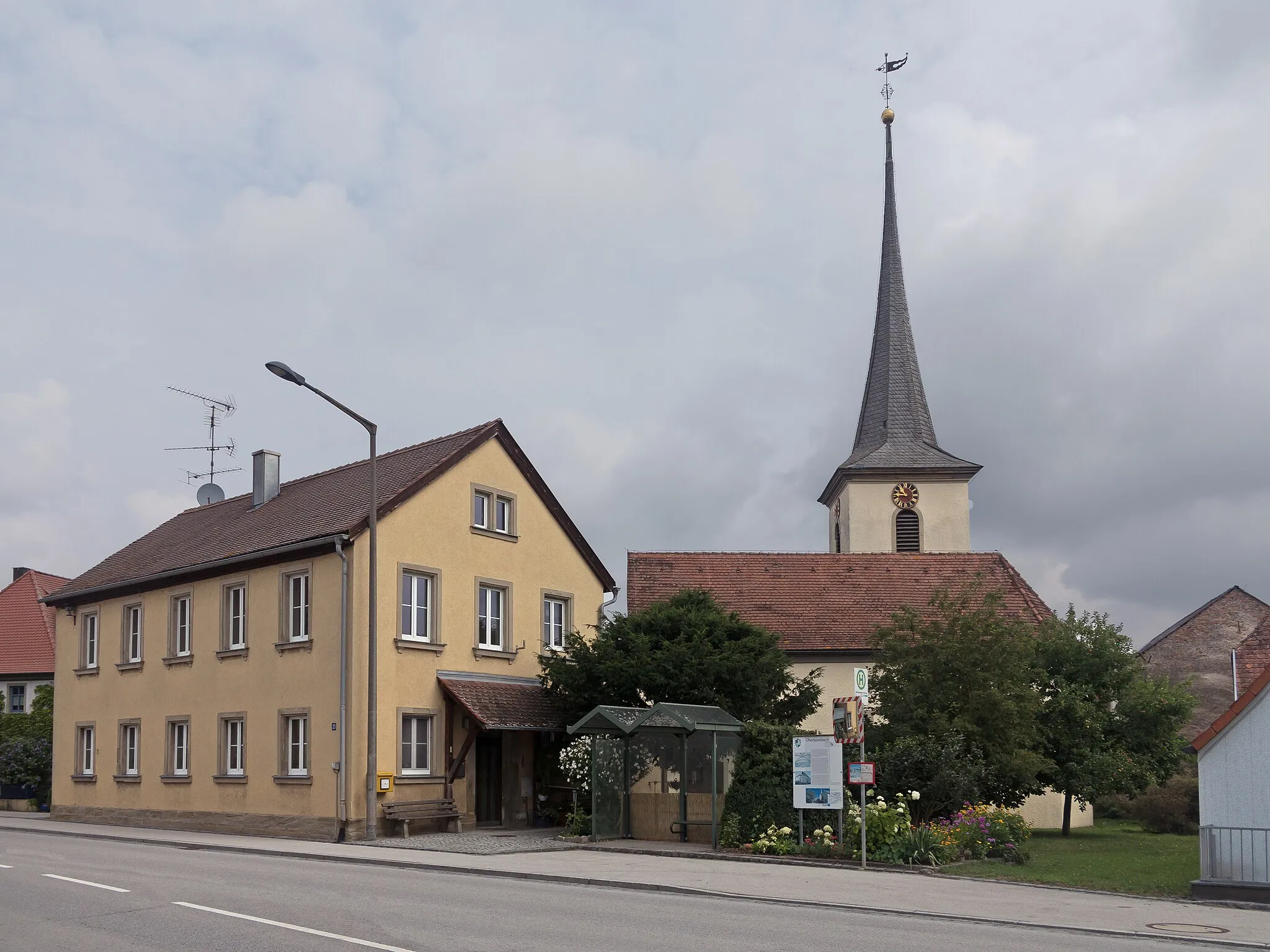
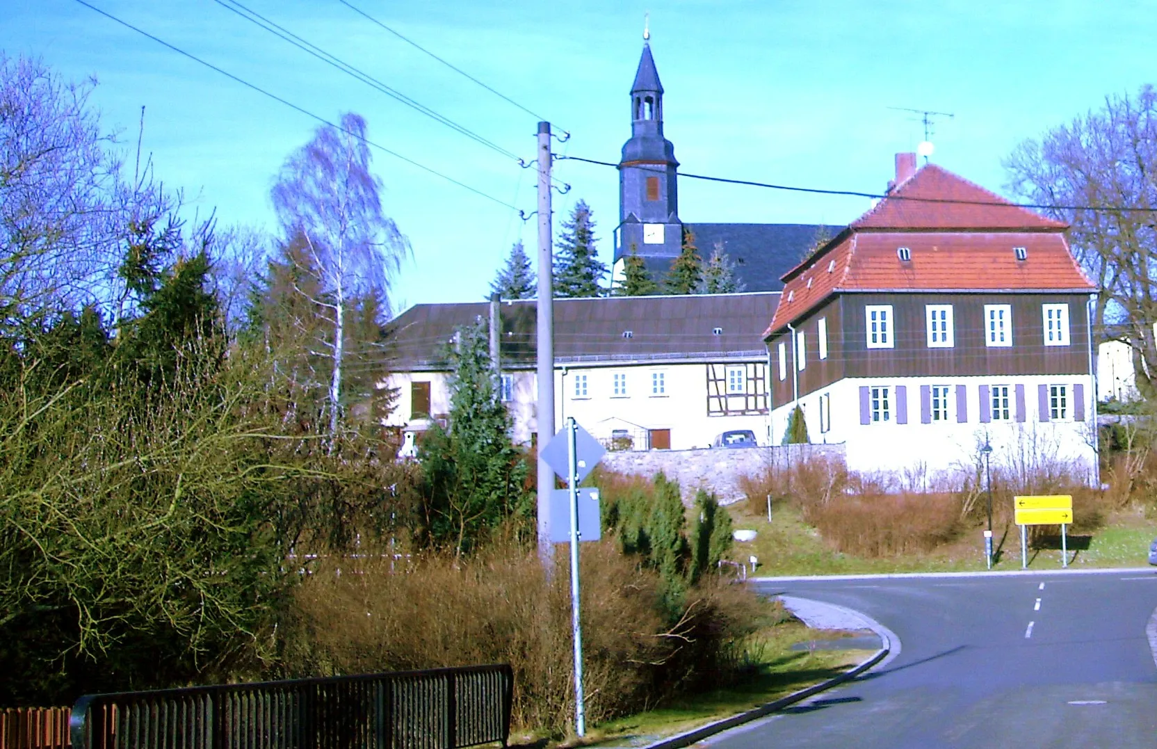
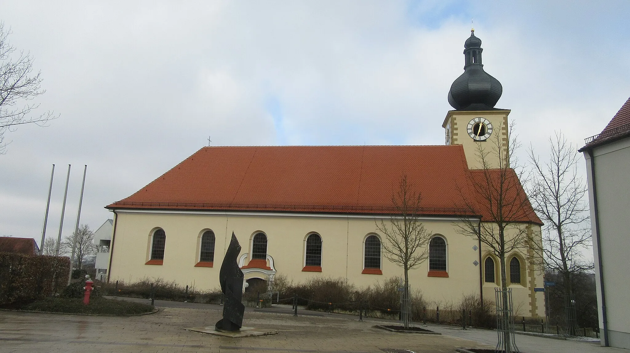
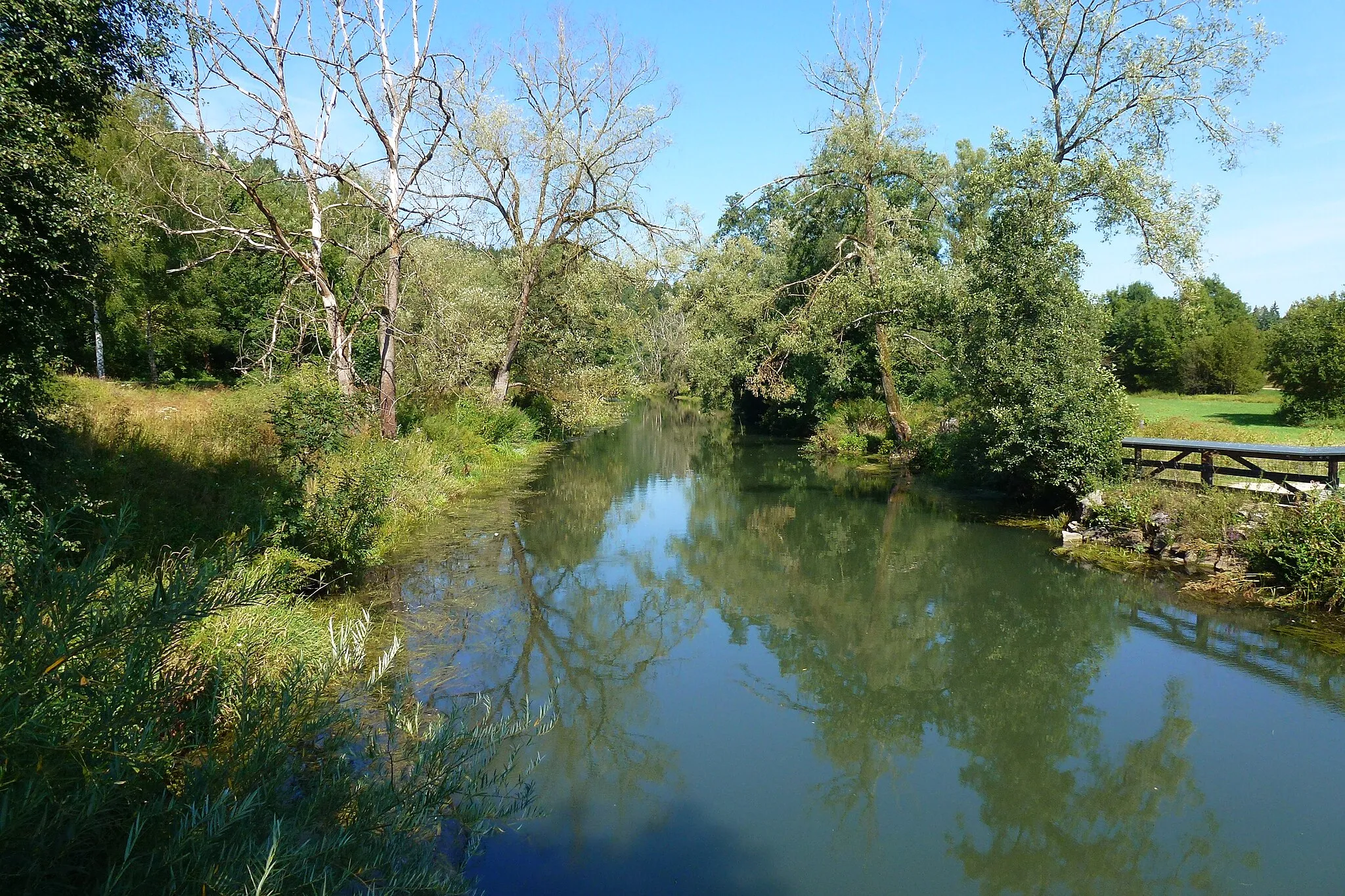
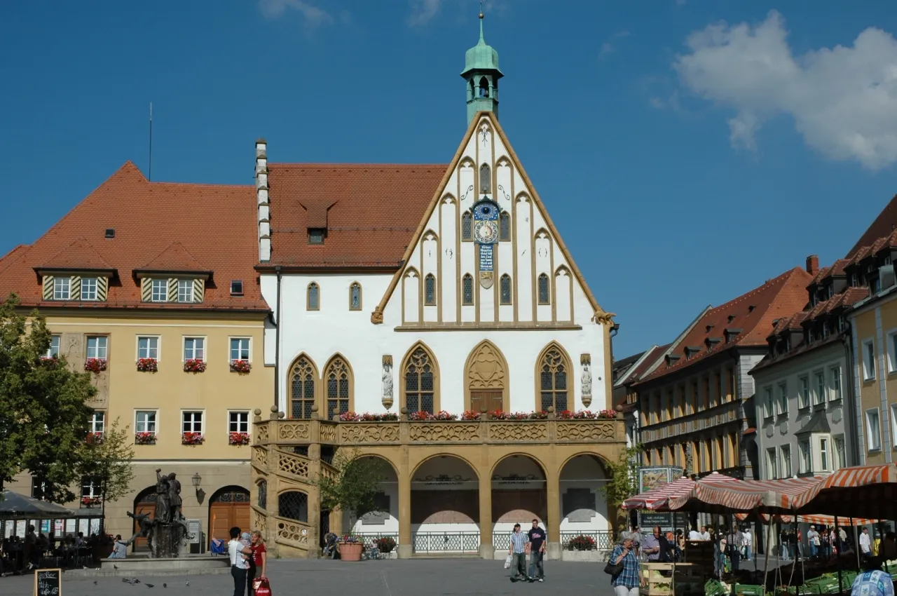
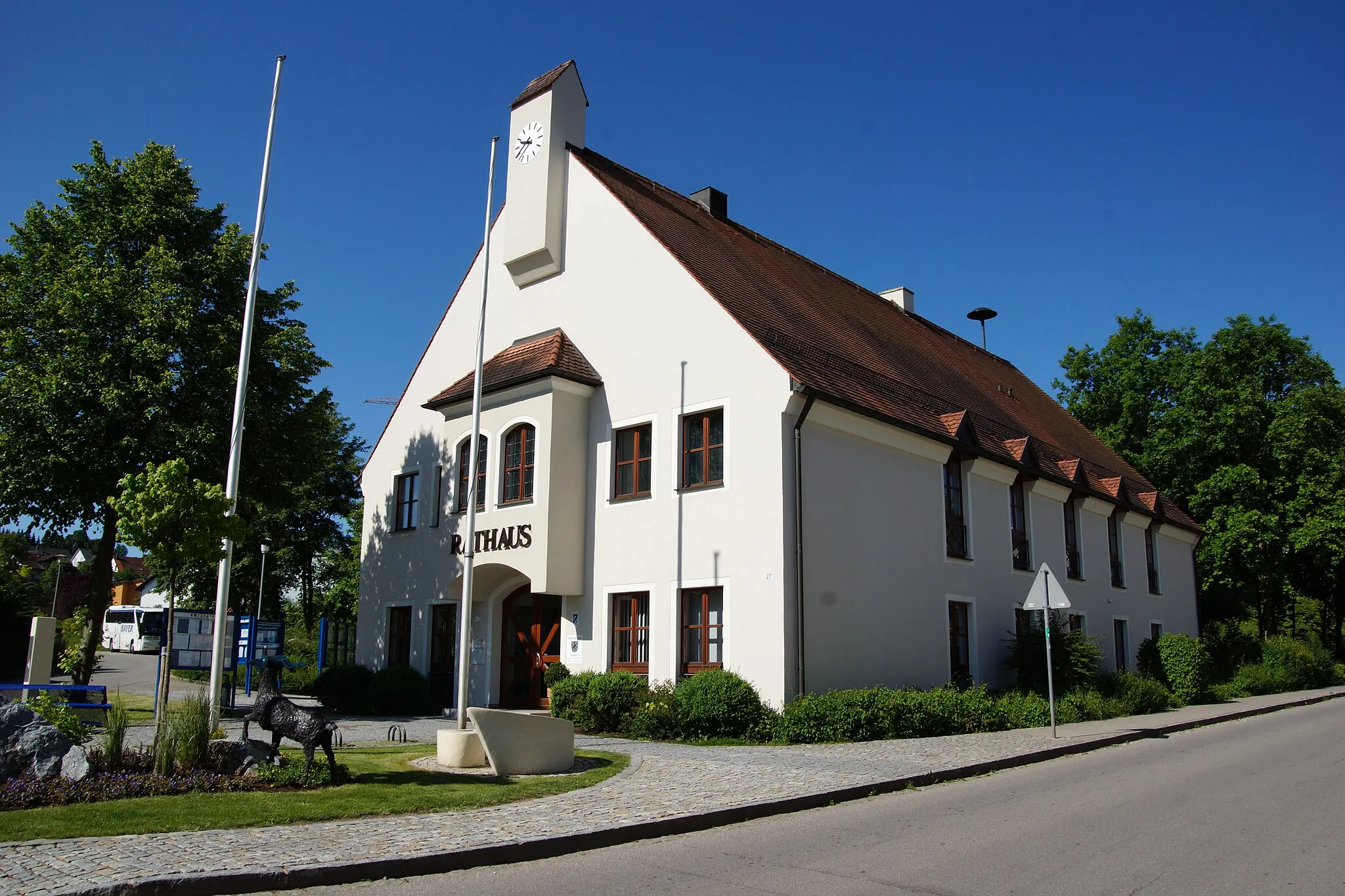
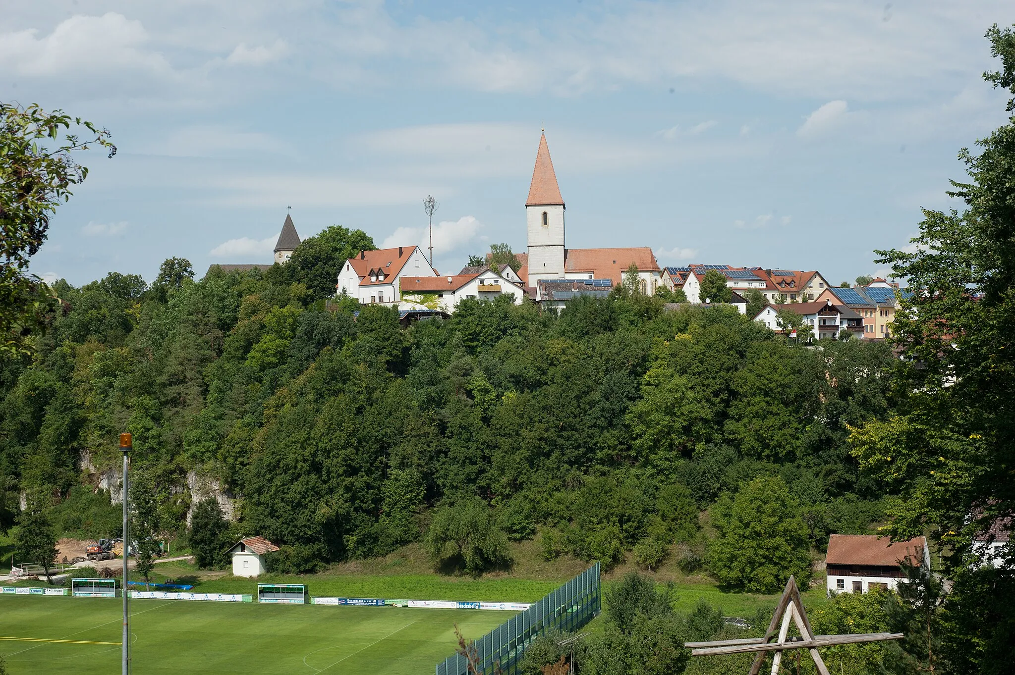
Ebermannsdorf, located in the Oberpfalz region of Germany, offers a mix of road and gravel cycling opportunities amidst a scenic and idyllic countryside. Cyclists can explore the charming villages, ride along smooth roads, and venture onto the adventurous gravel paths that wind through the rolling hills. Ebermannsdorf also serves as a gateway to the beautiful Upper Palatinate Forest, offering cyclists the chance to discover breathtaking natural landscapes. The famous cycling climb of Darstein is nearby, attracting avid climbers in pursuit of challenging routes and rewarding views. With its peaceful ambiance and diverse range of cycling routes, Ebermannsdorf is a great spot for both road and gravel cyclists to enjoy a memorable ride.
Theuern Loop

Experience the rolling hills and beautiful landscapes of Theuern on this gravel route.
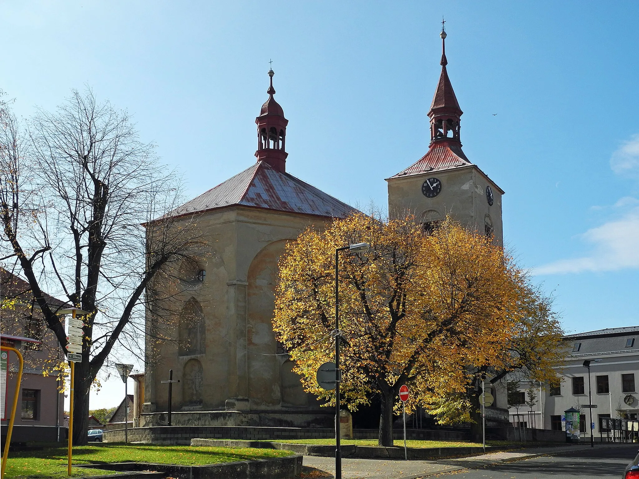
The Theuern Loop is a gravel route that takes you through picturesque villages and offers stunning views of the surrounding countryside. With 814 meters of ascent over a distance of 74 kilometers, it is suitable for experienced amateur cyclists. This route is rated as a 3 in terms of difficulty, making it challenging but manageable for most riders. The highlight of this loop is the Juradistl-Landschaftskino, where you can enjoy a unique cinematic experience surrounded by the natural beauty of the area. Other noteworthy highlights include the Burglengenfeld castle and the Burgruine Kallmünz. Overall, the Theuern Loop offers a scenic and enjoyable cycling experience.
Ebermannsdorf Adventure

Embark on a thrilling gravel cycling adventure through the scenic landscapes near Ebermannsdorf.
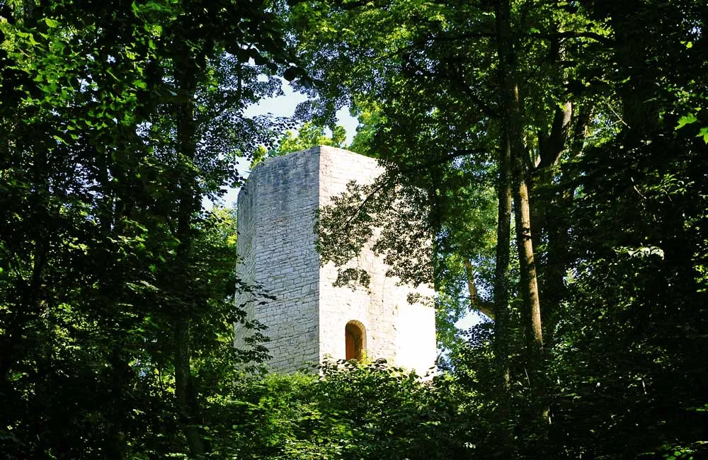
The Ebermannsdorf Adventure is a gravel route that offers a thrilling and challenging cycling experience. With 597 meters of ascent over a distance of 37 kilometers, this route is suitable for intermediate amateur cyclists. It is rated as a 2 in terms of difficulty, making it accessible for riders with some gravel cycling experience. The highlight of this route is the Ruine Eberburg, a medieval castle ruin that offers panoramic views of the surrounding area. Other highlights include Johannisberg and Trisching. Overall, the Ebermannsdorf Adventure promises an adrenaline-pumping and rewarding cycling journey.
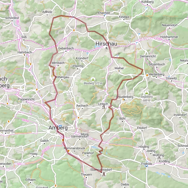
Embark on an epic gravel cycling expedition near Ebermannsdorf
If you're up for a gravel cycling challenge, this route is for you. With a distance of 64 kilometers and an elevation gain of 835 meters, this expedition will put your skills to the test. Highlights along the way include the historic town of Hirschau, known for its mining heritage, and Monte Kaolino, a towering sand dune offering stunning views of the surrounding landscapes. This gravel expedition promises an unforgettable adventure through the diverse terrain near Ebermannsdorf.
Embark on a road cycling exploration near Ebermannsdorf
The road cycling adventure around Ebermannsdorf is perfect for cyclists looking to challenge themselves with a longer ride. With a distance of 99 kilometers and an ascent of 1355 meters, this route will test your stamina and endurance. Enjoy the scenic beauty of the Oberpfalz region as you pedal through rolling hills, charming villages, and picturesque landscapes.
Ebermannsdorf Gravel Route

Explore the gravel roads around Ebermannsdorf
The Ebermannsdorf gravel route takes you on a scenic adventure through the beautiful Oberpfalz region of Germany. With a distance of 60 kilometers and an ascent of 495 meters, this route is suitable for all gravel biking enthusiasts. Enjoy the stunning landscapes, charming villages, and peaceful countryside as you pedal your way through the course.
Embark on a gravel cycling adventure through the scenic landscapes surrounding Wolfsbach.
The Wolfsbach Adventure is a gravel route that takes you through rolling hills and enchanting forests, offering a serene and refreshing cycling experience. With 633 meters of ascent over a distance of 49 kilometers, this route is suitable for both beginner and intermediate amateur cyclists. It is rated as a 2 in terms of difficulty, making it accessible and enjoyable for riders of all skill levels. The highlight of this route is the picturesque village of Wolfsbach, which features stunning views of the surrounding landscapes. Other notable highlights include Brunnberg and Erlheim. Overall, the Wolfsbach Adventure promises a peaceful and rejuvenating cycling journey.

Embark on a road cycling adventure through the challenging terrain near Ebermannsdorf.
The Ebermannsdorf Challenge is a road cycling route that offers both stunning scenery and a challenging workout. With 1499 meters of ascent over a distance of 111 kilometers, this route is best suited for well-trained amateur cyclists. It is rated as a 4 in terms of difficulty, making it a tough but rewarding ride. The highlight of this route is the Büschelberg, which offers impressive views of the surrounding countryside. Other highlights include the Eixlberg, Pfreimd, and the Auf der Höhe. Overall, the Ebermannsdorf Challenge promises an exciting and adrenaline-fueled cycling experience.
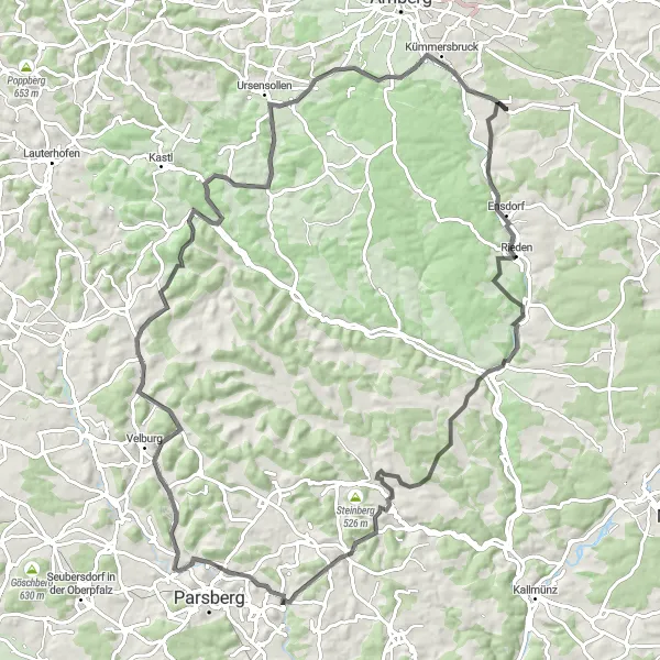
Embark on the ultimate cycling adventure through the Bavarian countryside near Ebermannsdorf
For experienced cyclists looking for an epic challenge, this 152-kilometer road cycling route will test your endurance. With an elevation gain of 2398 meters, this route takes you through the rolling hills and picturesque villages near Ebermannsdorf. Highlights along the way include the awe-inspiring Pleystein, offering breathtaking views of the surrounding landscapes, and the historic Schloss Fronberg, a medieval castle with a rich history. Prepare for a legendary ride through the heart of Bavaria.

Experience the charming beauty of the Bavarian countryside on this road cycling route
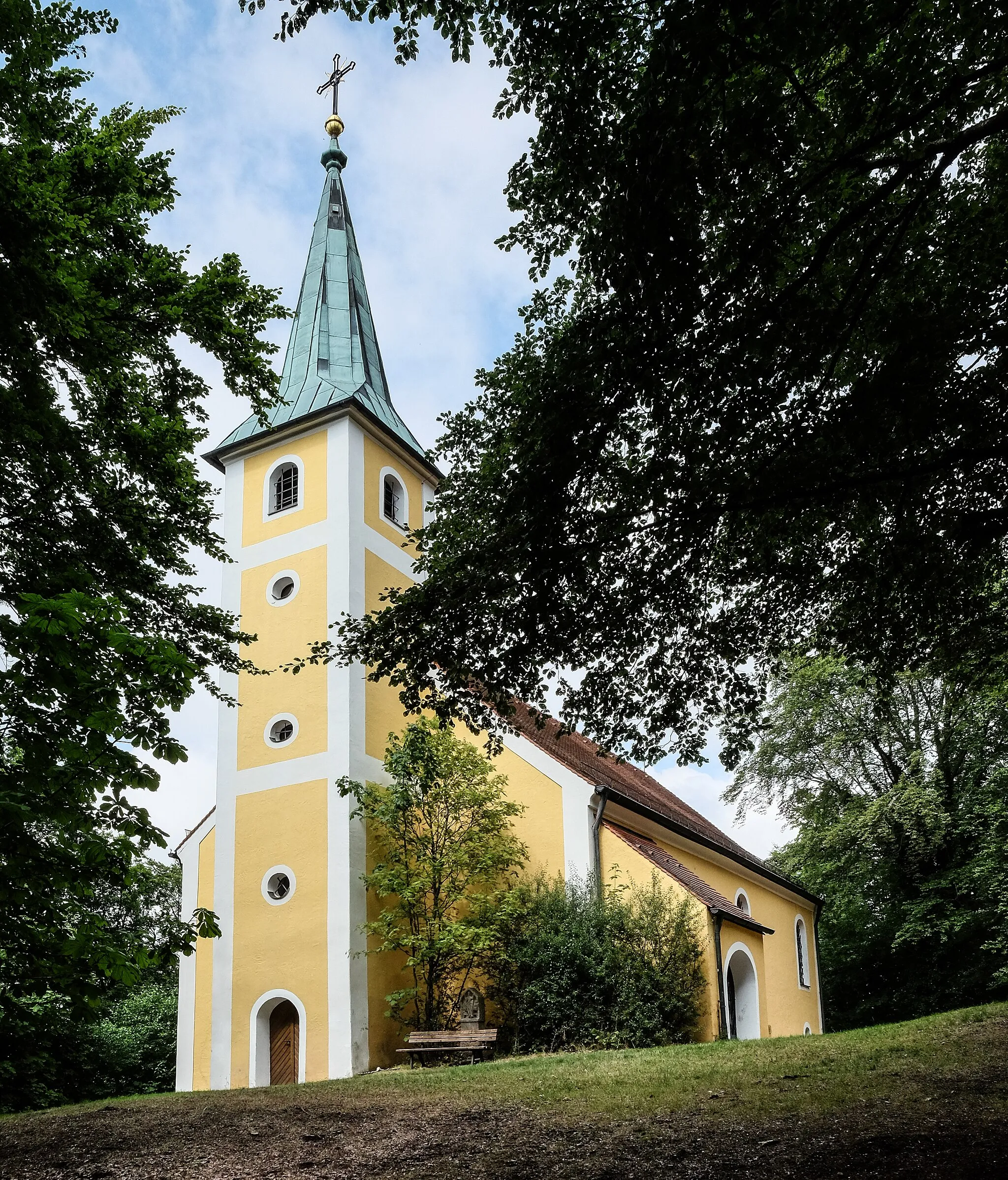
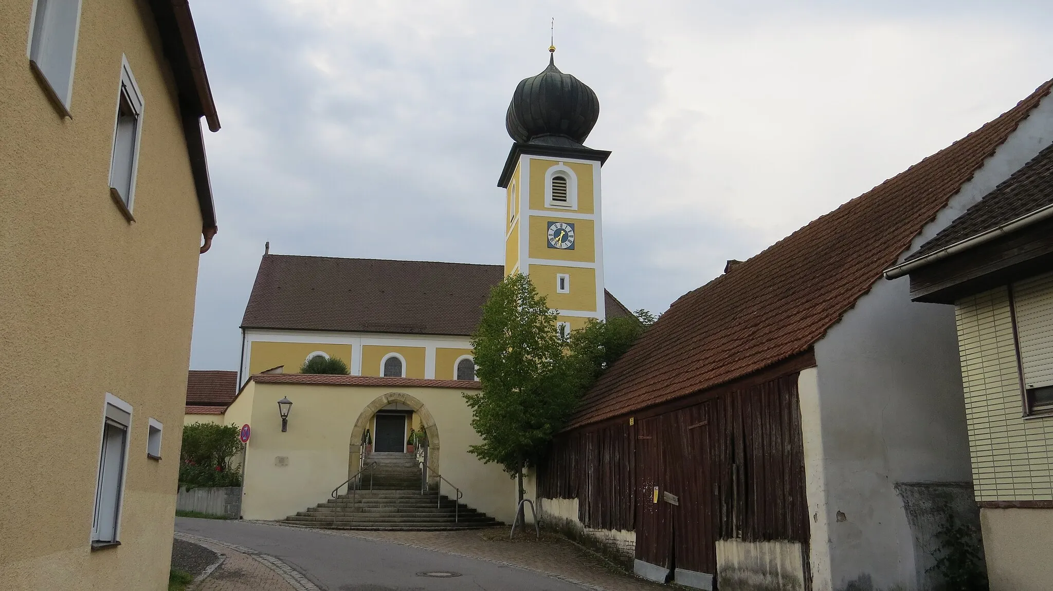
This scenic road cycling route takes you through the picturesque Bavarian countryside near Ebermannsdorf. You'll meander through idyllic villages, lush green meadows, and rolling hills. With a moderate difficulty level, this loop is perfect for well-trained amateur cyclists. The route covers a distance of 36 kilometers and includes 383 meters of ascent. Highlights along the way include the striking Schloß Ebermannsdorf, known for its architectural beauty, and the Juradistl-Landschaftskino, where you can enjoy breathtaking views of the surrounding landscapes.

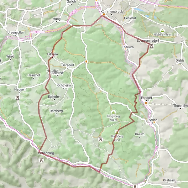
Embark on an off-road cycling expedition from Ebermannsdorf
Get ready for an off-road adventure from Ebermannsdorf that will take you through rugged terrains and scenic landscapes. This gravel route covers a distance of 84 kilometers and includes an ascent of 1315 meters. Challenge yourself with steep climbs and thrilling descents as you explore the natural beauty of the Oberpfalz region.
Cycling routes nearby:

Nearby regions: