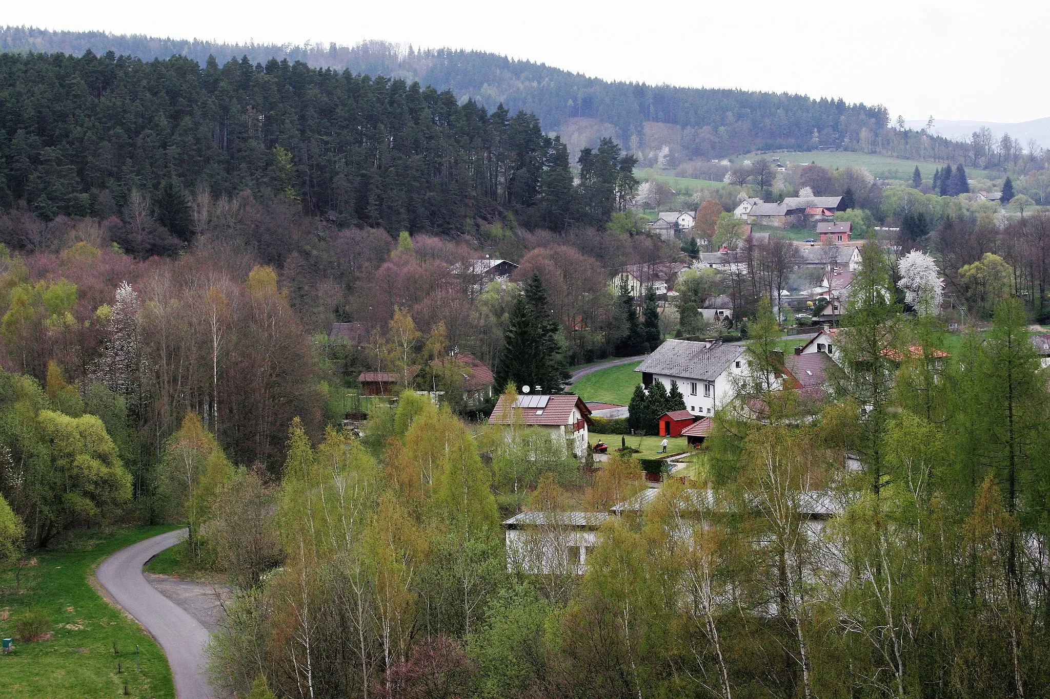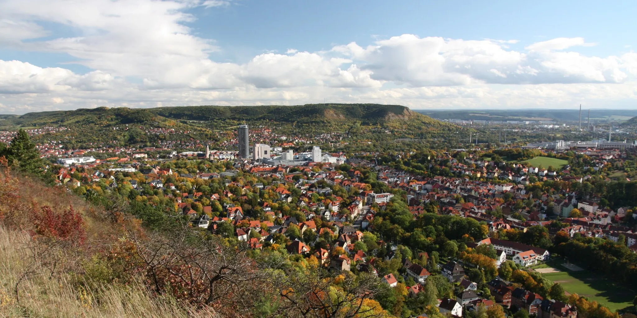
Nature Abounds in Floß, Germany for Adventure-seeking Cyclists
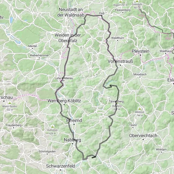
Cycling routes from Floss
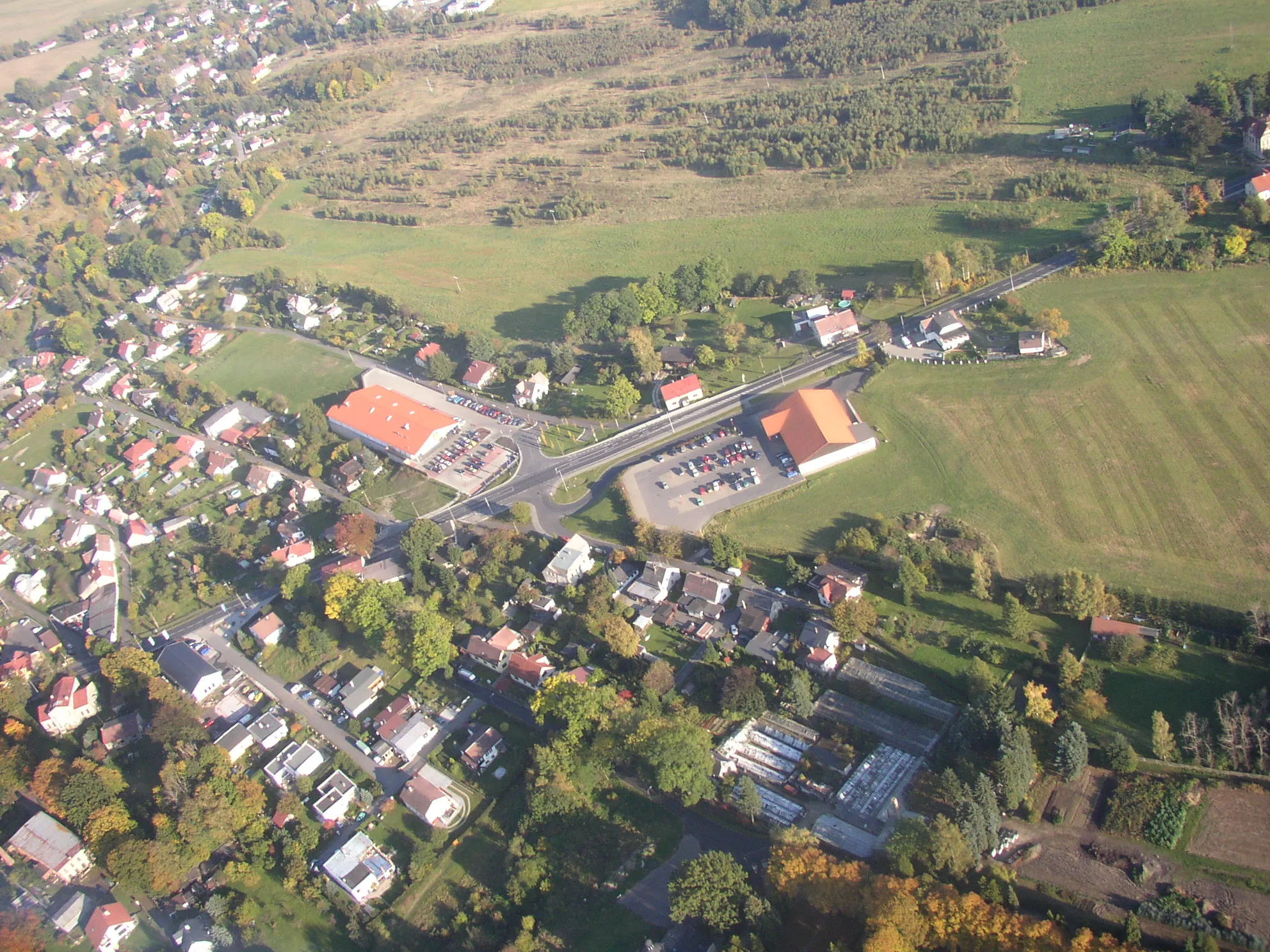
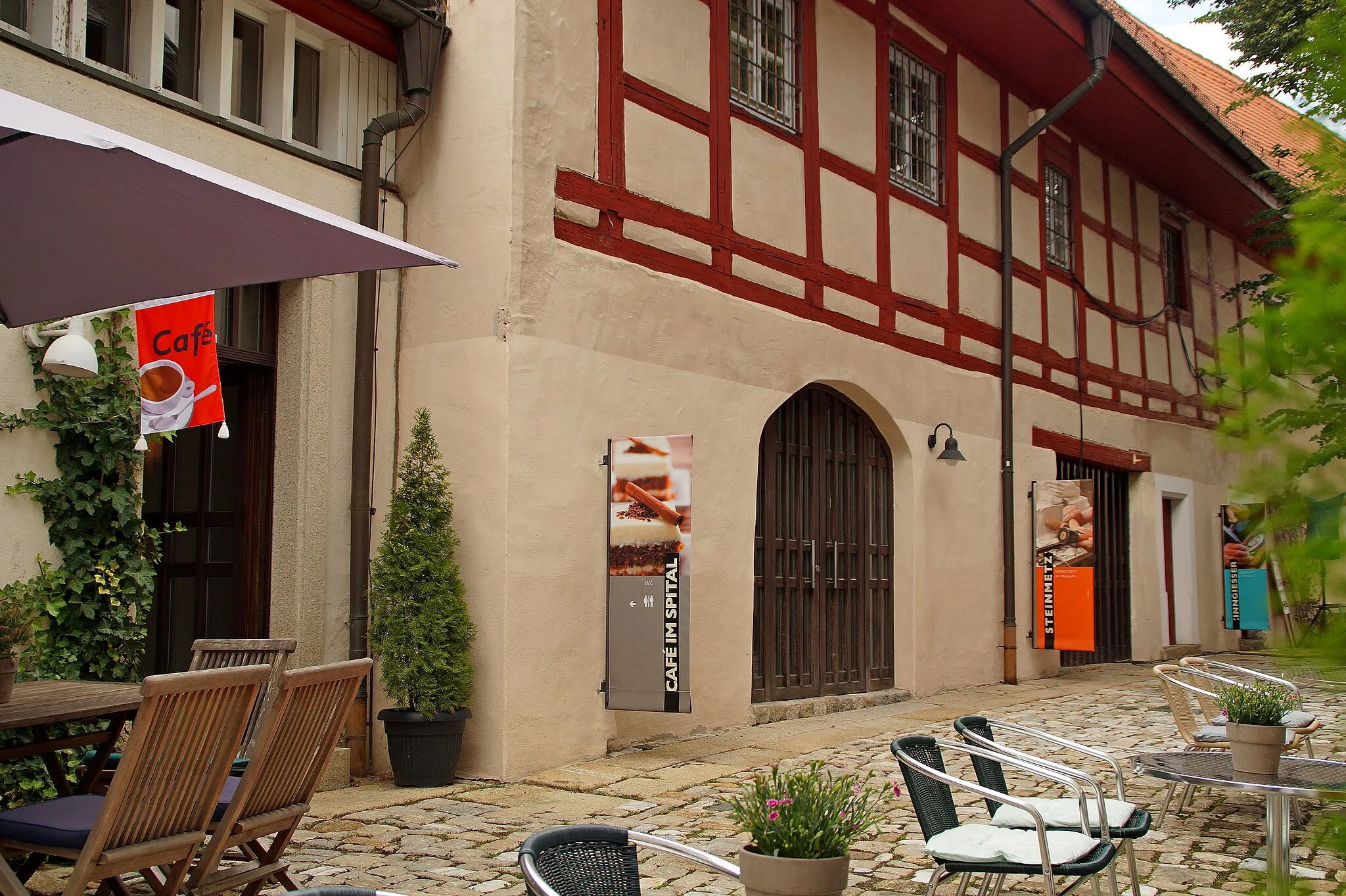
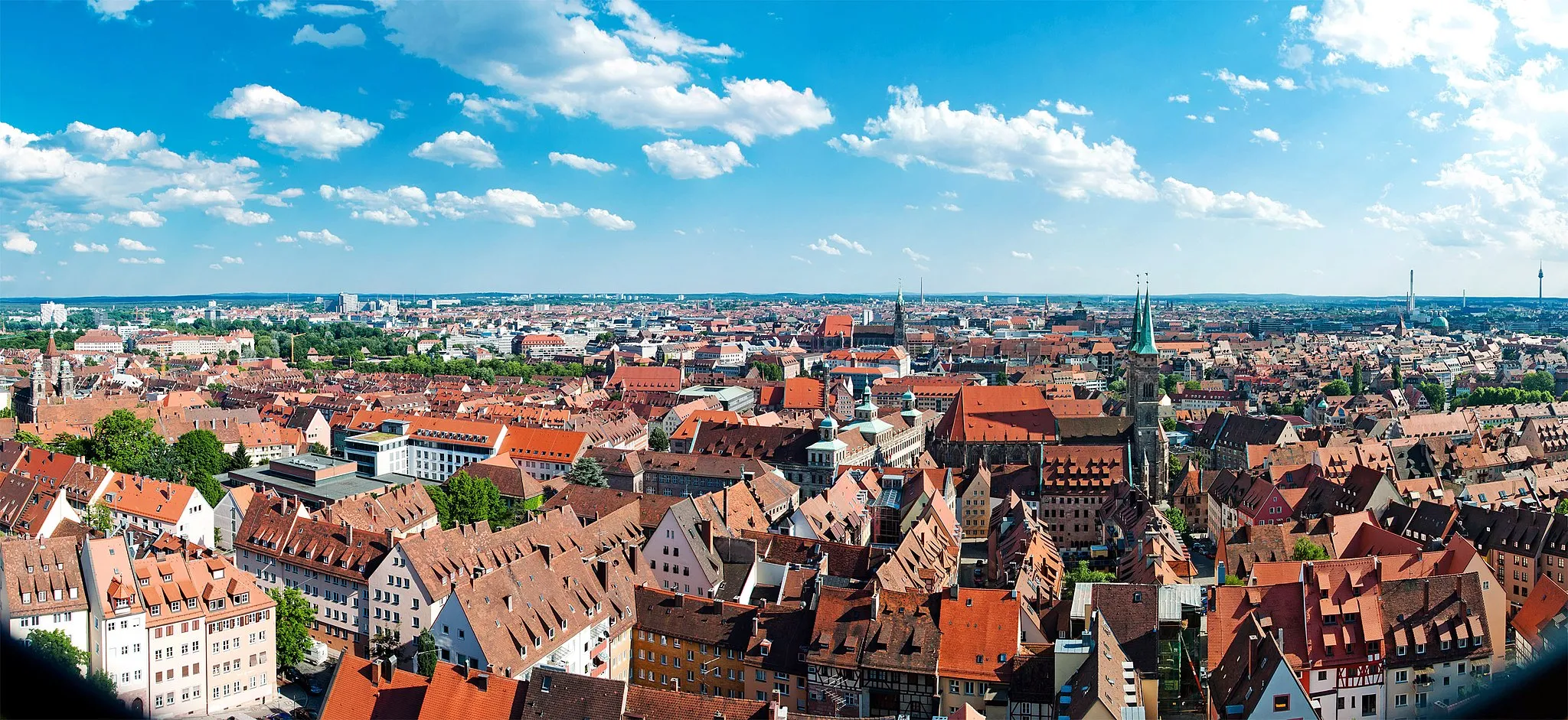
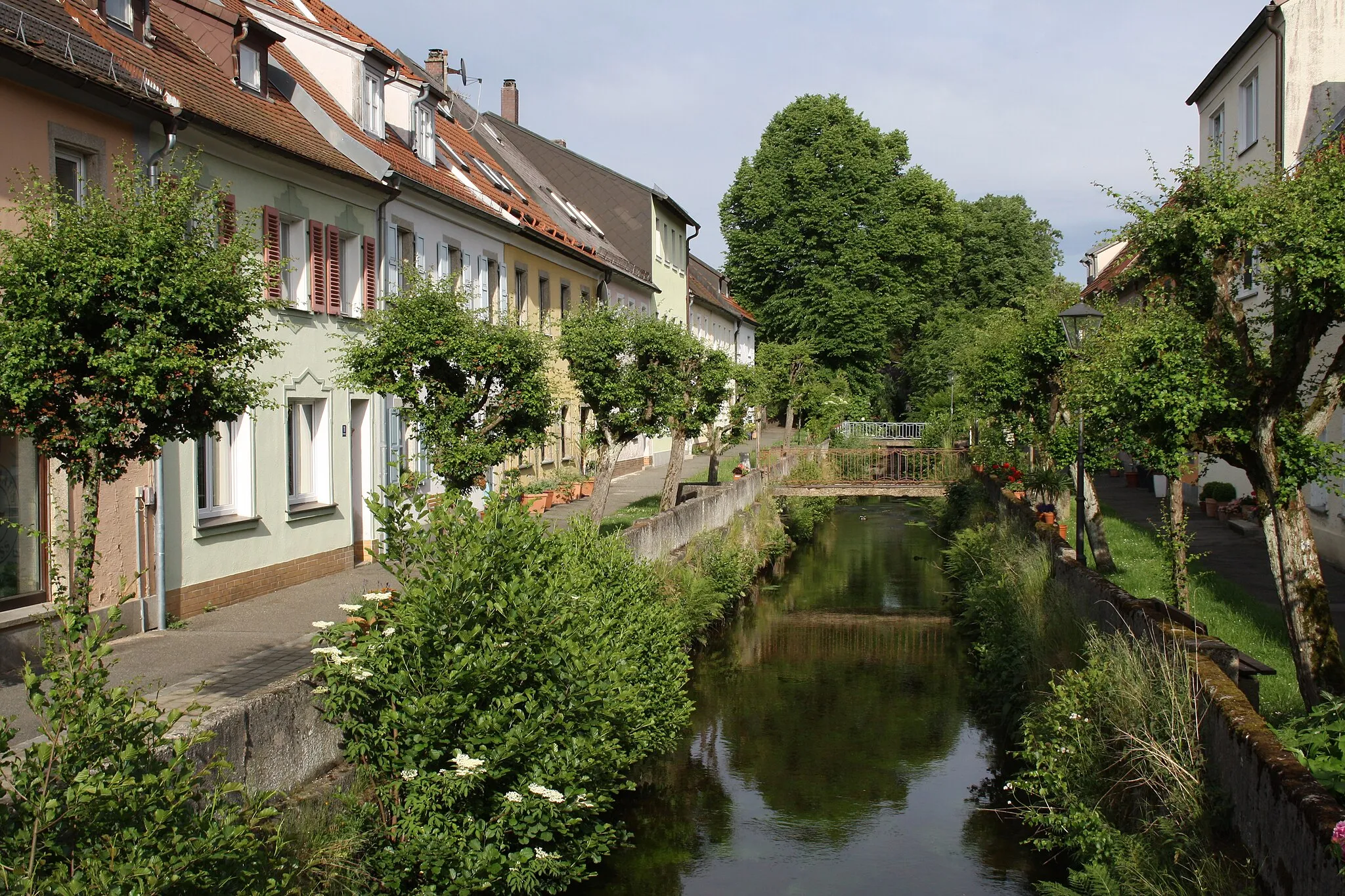
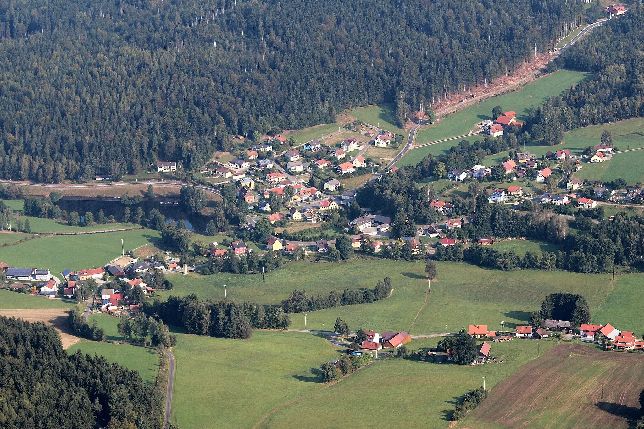
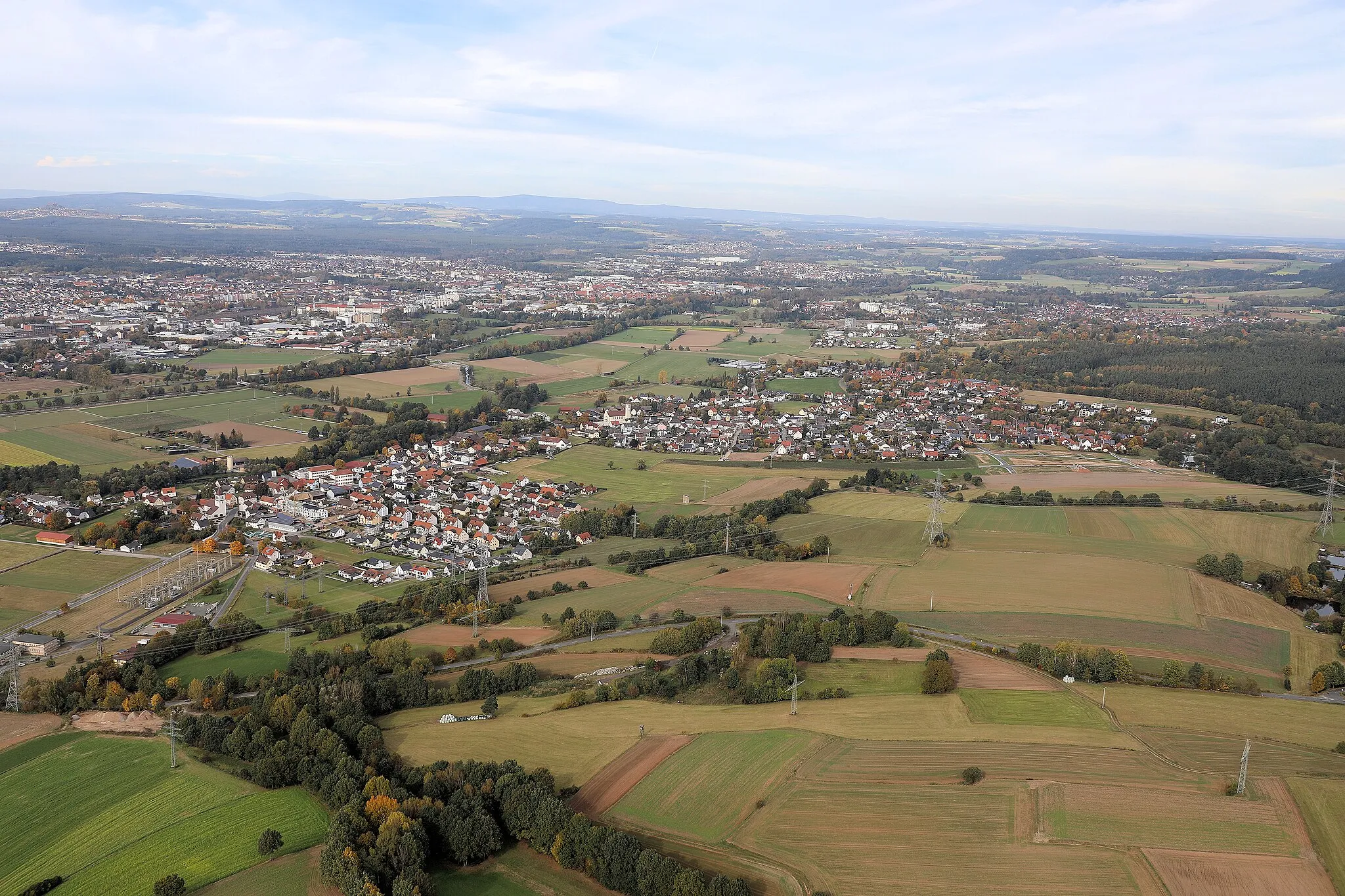
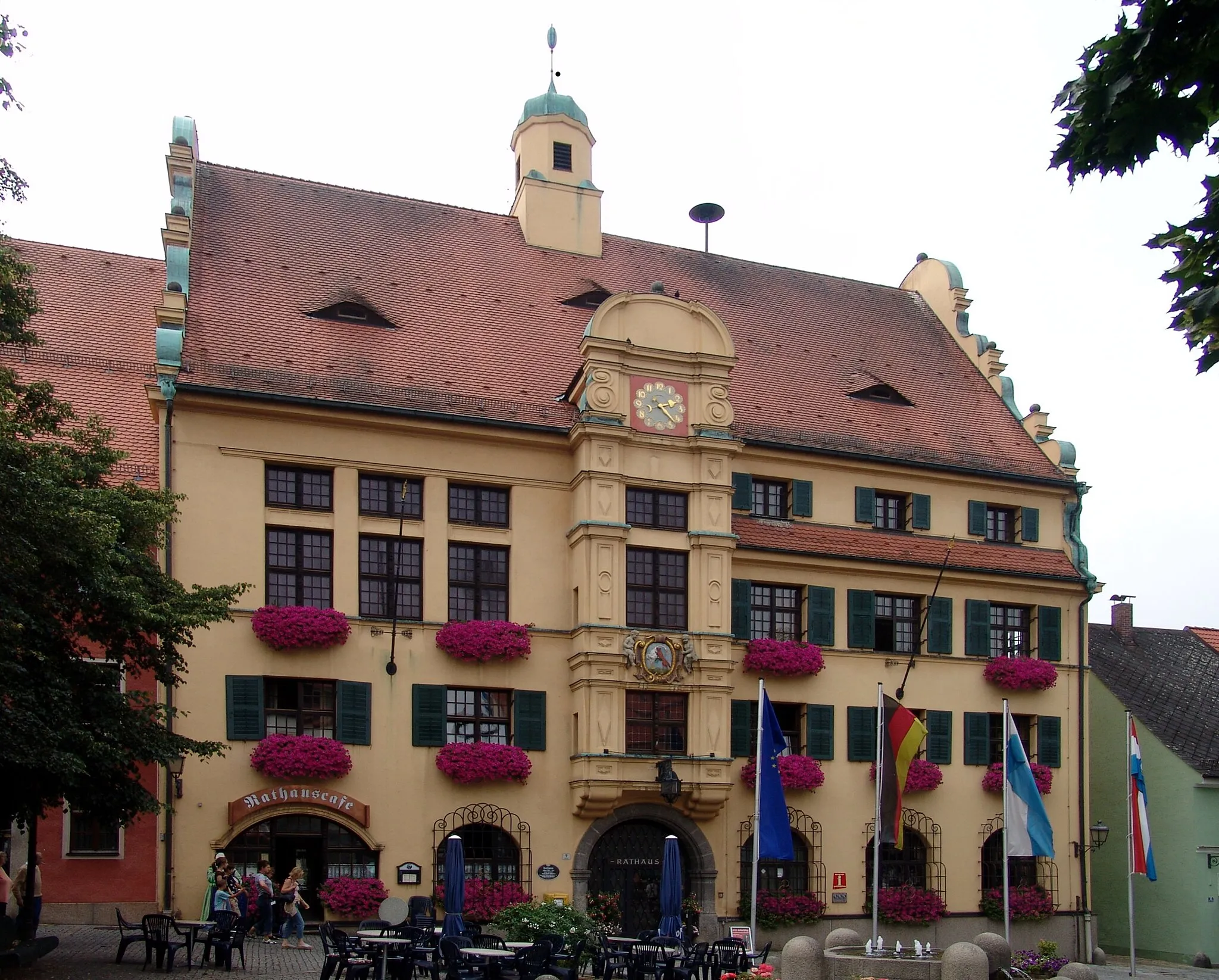
Floß is a delightful locality located in the Oberpfalz region of Germany. From the perspective of a road and gravel cyclist, Floß offers a mix of flat terrain and more challenging climbs, providing a diverse range of cycling opportunities. The region is surrounded by natural beauty, with dense forests and beautiful lakes dotting the landscape, making it an excellent destination for nature-oriented cycling enthusiasts. Nearby, cyclists can explore the Steinwald Nature Park, which offers stunning panoramic views and exhilarating trails. Overall, Floß provides a memorable and captivating cycling experience in the heart of Nature.

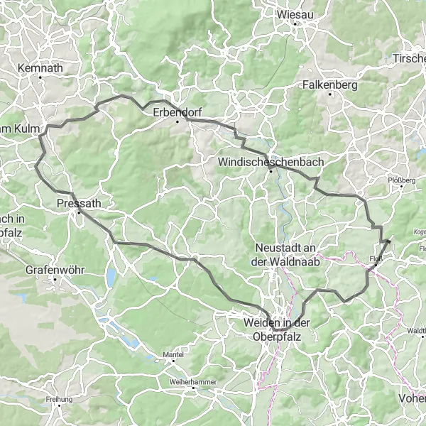
Conquer the challenging roads of Oberpfalz and be rewarded with unforgettable panoramic vistas.
The Oberpfalz Panorama Challenge is a demanding road cycling route that spans 107 km and features an ascent of 1955 m. This epic route takes cyclists through picturesque villages, lush countryside, and breathtaking panoramic vistas. With a difficulty level of 5, this route is designed for highly trained amateur cyclists seeking an exhilarating challenge. The Oberpfalz Panorama Challenge scores a 5 in terms of epicness, offering riders legendary climbs and famous cycling spots that will leave a lasting impression. The highlights along the route include Flossenbürg, Entenbühl, Bärnau, U Myslivny, Stará Knížecí Huť, Sec, Slepici vrch, Labuť, Židovská stráň, Rozvadov, Pleystein, Fahrenberg, Buchenhügel, and Weikersmühle. These highlights offer a mix of stunning views, historic sites, and natural wonders.

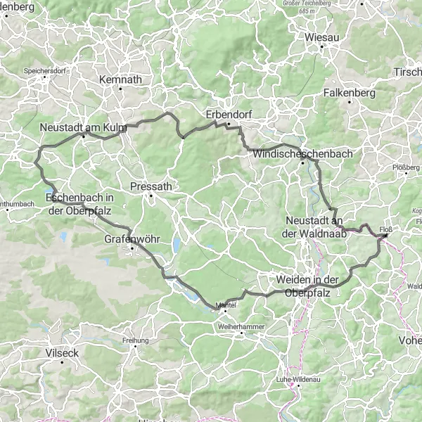
Embark on a scenic road cycling tour from Floß to Marktredwitz, exploring quaint villages and breathtaking landscapes along the way.
Embark on an epic road cycling journey from Floß to Marktredwitz, covering a distance of 114 kilometers with an elevation gain of 1718 meters. This challenging yet rewarding route takes you through beautiful countryside scenery, passing by several charming villages and natural landmarks. Prepare to be captivated by idyllic landscapes, picturesque views, and serene rural roads.
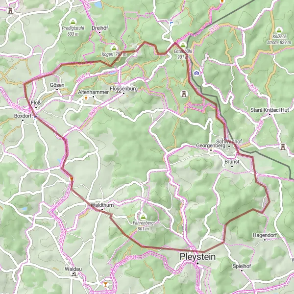
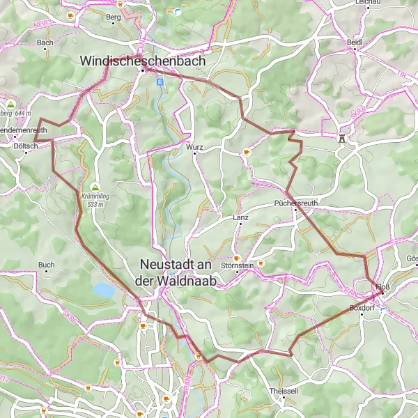
Embark on an exciting gravel ride that takes you to the ancient Burg Schellenberg and other natural wonders.
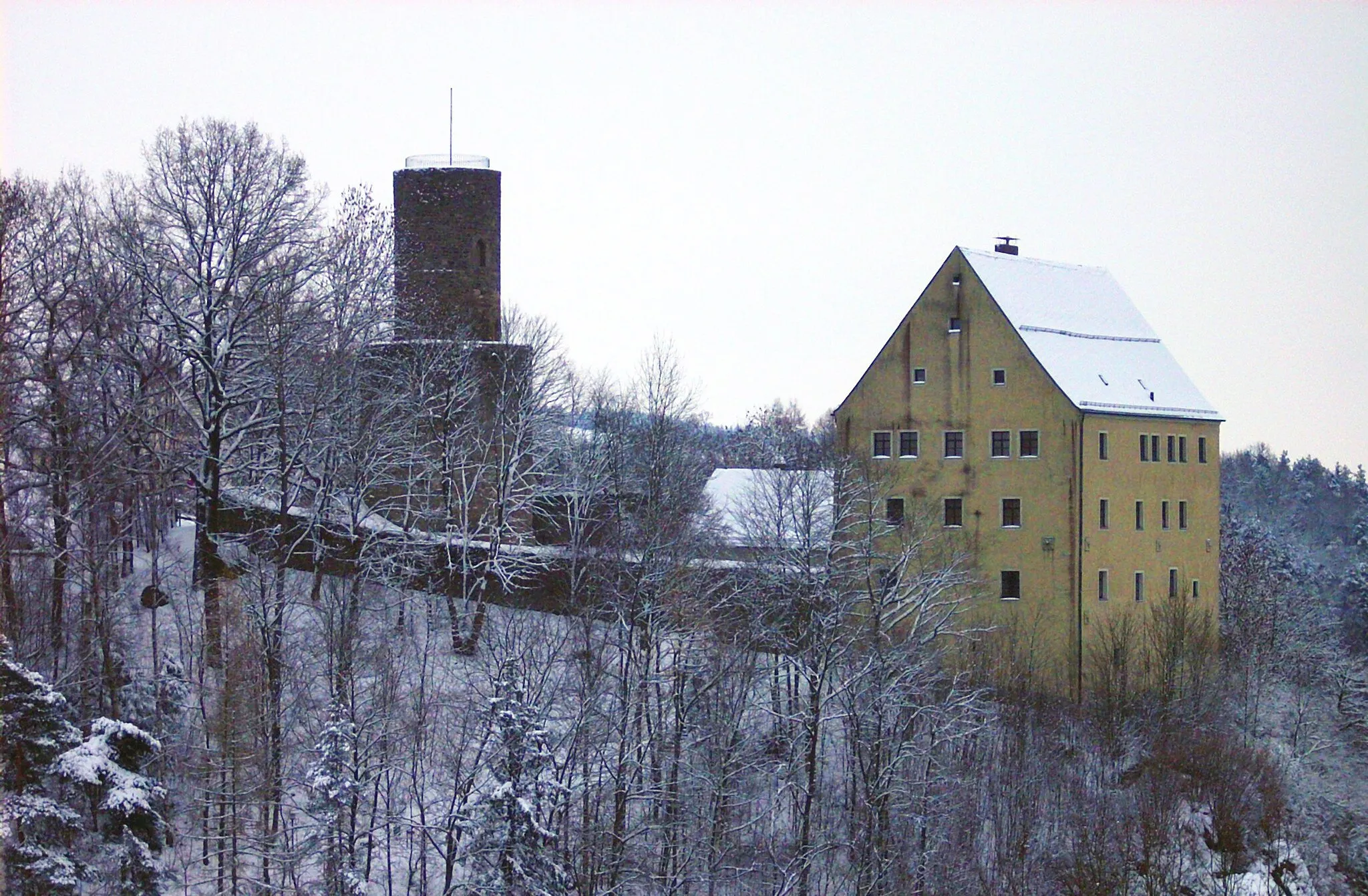
The Burg Schellenberg Trail is an adventurous gravel route with a distance of 48 km and an ascent of 893 m. This challenging route will take you through small villages, lush forests, and remarkable natural scenery. The route highlights include Entenbühl, Burg Schellenberg, Großer Stein, Pleystein, Waldthurn, Maienberg, Gaißbühl, and Niedernfloß. With a difficulty level of 4, this route is recommended for well-trained amateur cyclists looking for a thrill. The trail offers an epicness score of 4, providing cyclists with a memorable experience. The highlights along the route offer a mix of historical and natural attractions, allowing riders to discover the region's rich heritage and stunning landscapes.
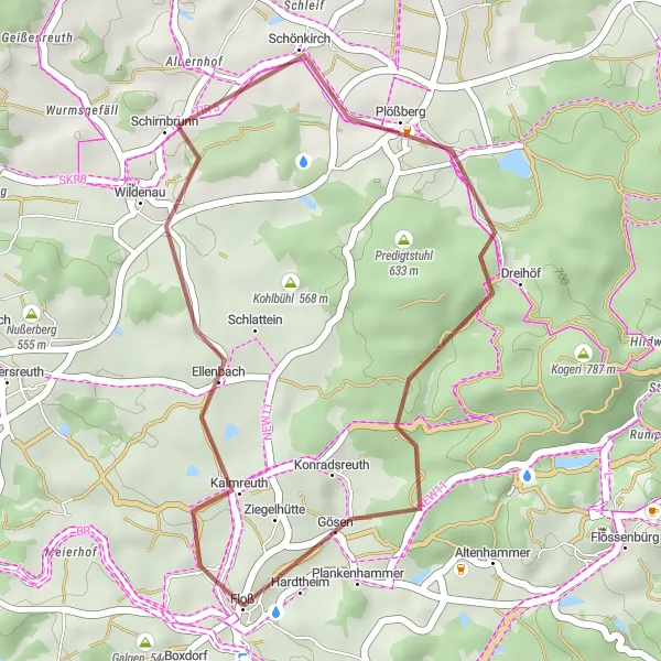
Holdenberg Loop
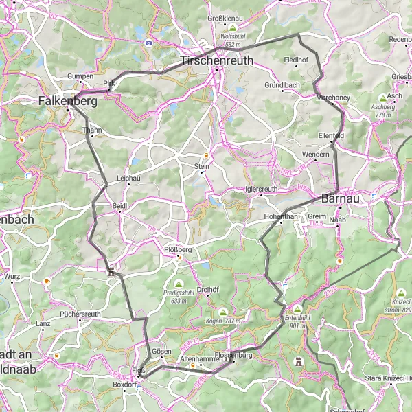
Cycle through the stunning landscapes of Floß and discover the imposing Holdenberg.
The Holdenberg Loop is a scenic cycling route that takes you through the beautiful landscapes near Floß in Oberpfalz, Germany. As you ride along, you will be treated to breathtaking views of the surrounding countryside. The highlight of the route is the Holdenberg, an imposing hill that offers panoramic vistas of the entire region. The route also includes other notable attractions such as Schönficht, Falkenberg, Wolfenstein, Geißbühl, Bärnau, Entenbühl, and Flossenbürg. With a distance of 65 kilometers and an ascent of 944 meters, this road cycling route offers a moderate challenge for well-trained amateurs.
Venture through forests and enjoy picturesque landscapes
Embark on an adventurous gravel route near Floß, Oberpfalz. The route spans a distance of 43 kilometers with an ascent of 745 meters. As you cycle along, you'll encounter stunning highlights that showcase the beauty of the region.
Conquer the challenging ascent and be rewarded with stunning views
Challenge yourself with a 109-kilometer road cycling trail near Floß, Oberpfalz. This route tests your endurance with an ascent of 1219 meters. Along the journey, discover remarkable highlights that showcase the region's beauty and cultural heritage.
Oberpfalz Heritage Ride
Immerse yourself in the heritage of Oberpfalz as you cycle through its idyllic countryside and charming towns.
Embark on a delightful road cycling adventure through the enchanting landscapes of Oberpfalz. Covering a distance of 88 kilometers and with an ascent of 1059 meters, this route takes you on a journey through picturesque towns, rolling hills, and cultural landmarks. Enjoy the rich history and heritage of this region as you pedal along its well-maintained roads.
Gravel Circuit Around Floß
Explore the off-road terrain around Floß on this challenging gravel route.
Embark on a thrilling off-road adventure as you cycle through the picturesque gravel trails near Floß. With a moderate ascent of 332 meters spread over a distance of 22 kilometers, this route offers a great mix of scenic views and exhilarating cycling challenges. The diverse landscape and peaceful surroundings make it a delight for nature enthusiasts and gravel cycling enthusiasts.
Explore the captivating hilltops and picturesque valleys as you cycle through the beautiful landscapes of Oberpfalz.
Immerse yourself in the stunning landscapes of the Oberpfalz region on this thrilling road cycling route. With a distance of 105 kilometers and an elevation gain of 1232 meters, this challenging route takes you through scenic hilltops, serene valleys, and charming villages. Discover the natural beauty and rich cultural heritage of Oberpfalz as you pedal along its well-maintained roads.
Mittelberg Loop

Discover the picturesque landscapes of Oberpfalz as you cycle through the beautiful gravel routes.
The Mittelberg Loop is a stunning cycling route that takes you through the scenic landscapes of Oberpfalz in Germany. With a distance of 60 km and an ascent of 677 m, this gravel route offers a challenging yet rewarding experience for cyclists. The route is known for its breathtaking views, including highlights such as Mittelberg, Toter Mann, Mahdhöhe, and Weberbühl. The difficulty level of this route is moderate, suitable for well-trained amateur cyclists. With its epicness score of 3, the Mittelberg Loop provides a memorable cycling adventure for enthusiasts. The highlights along the route offer unique experiences, including historical sites, panoramic views, and serene natural spots.
Cycling routes nearby:

Nearby regions: