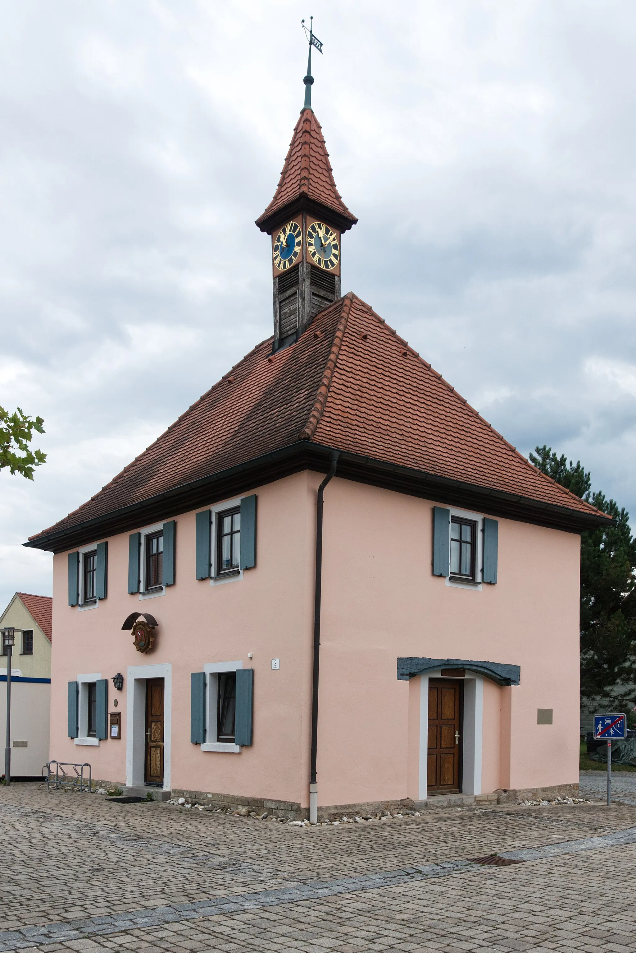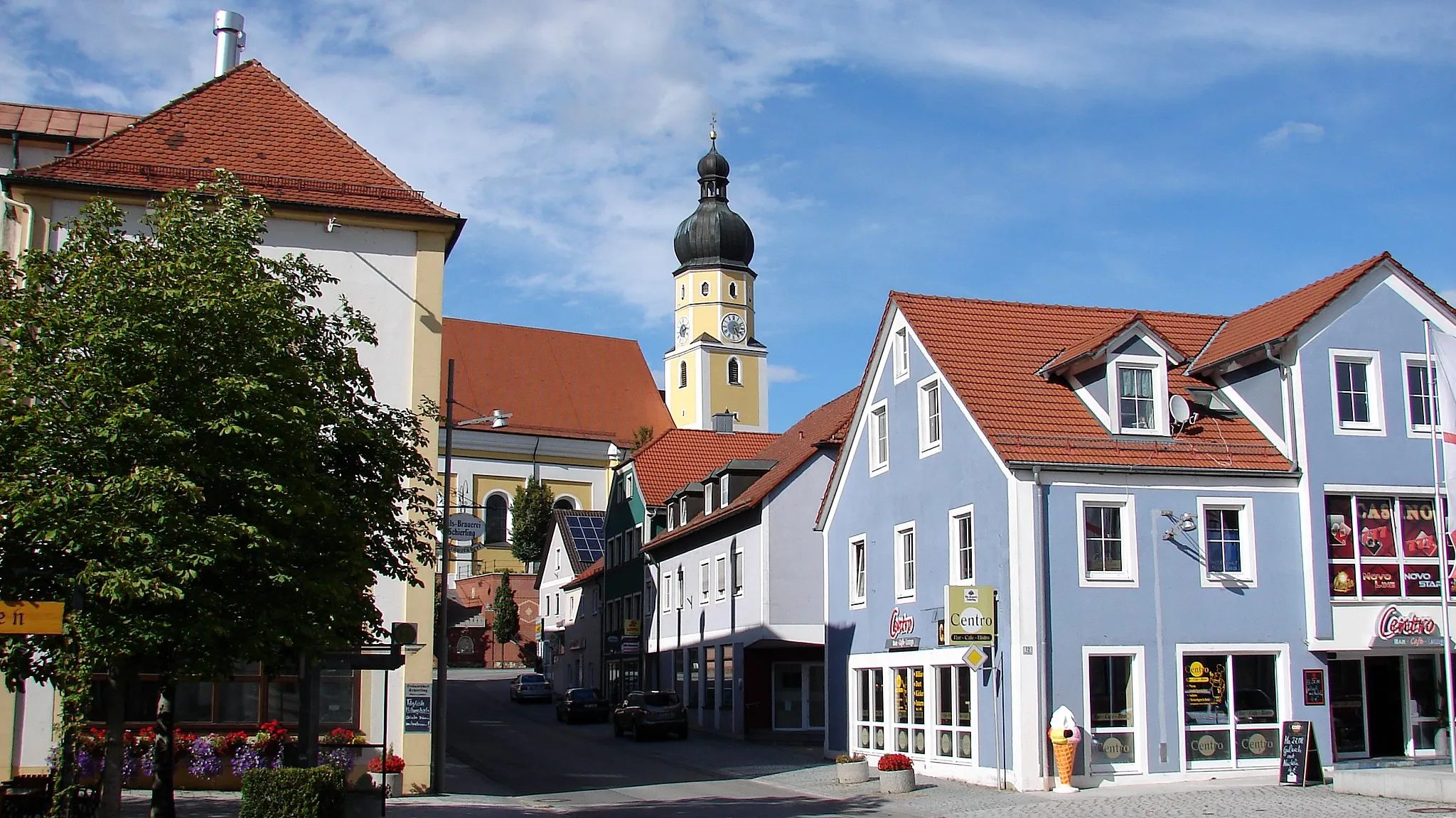
Explore the scenic Schierling in Oberpfalz, Germany, on two wheels.
Cycling routes from Schierling
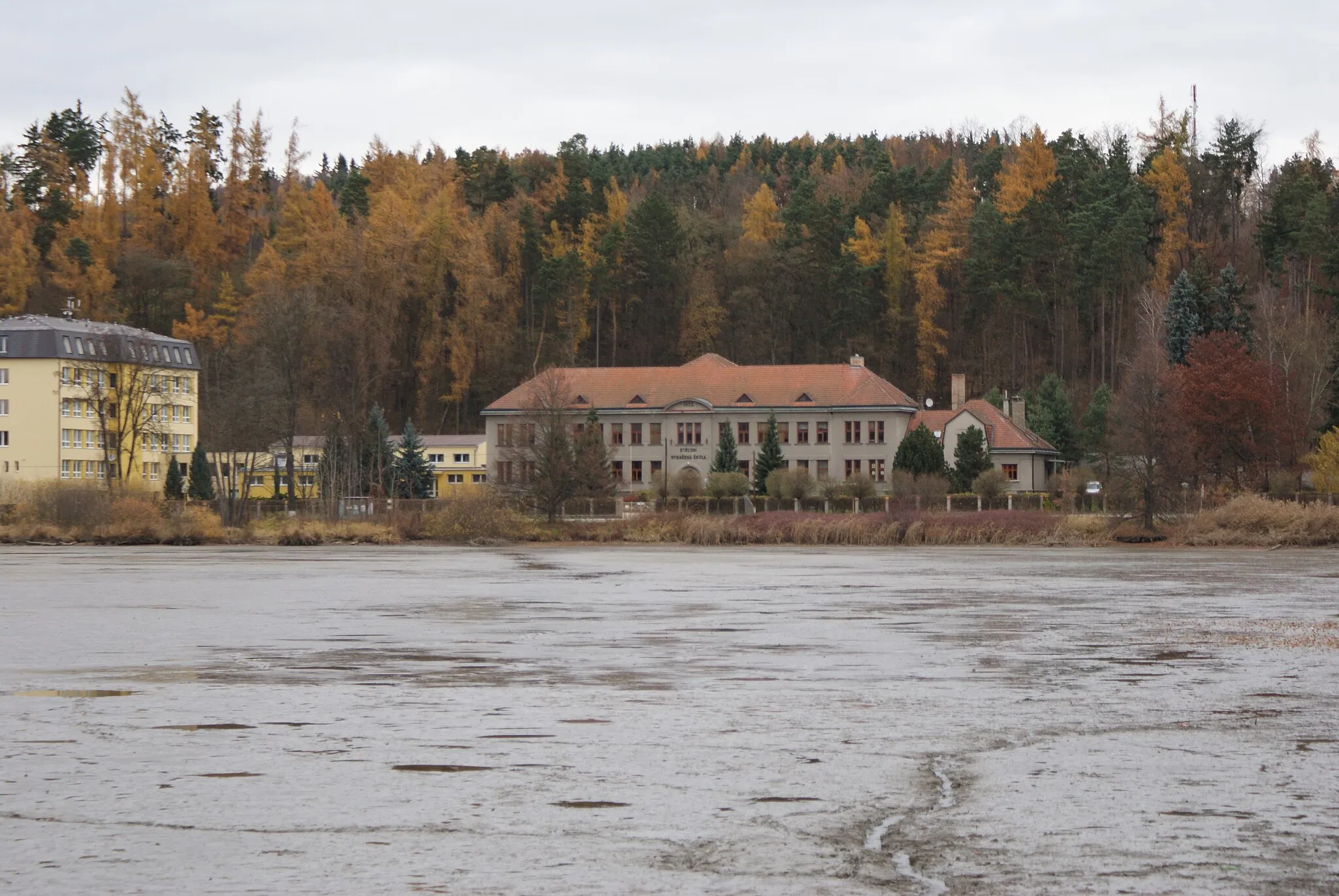
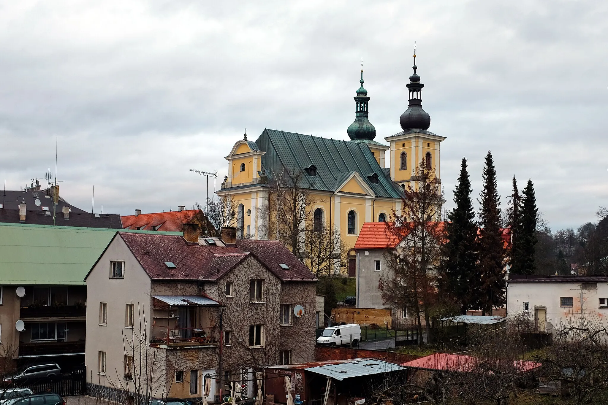
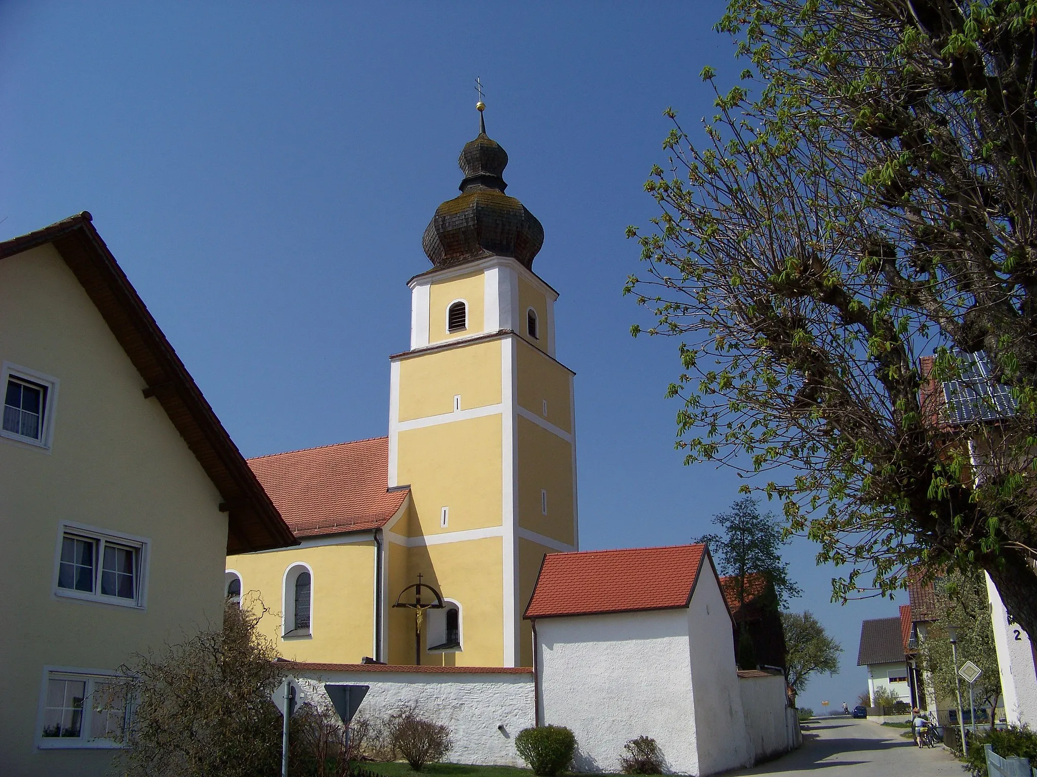
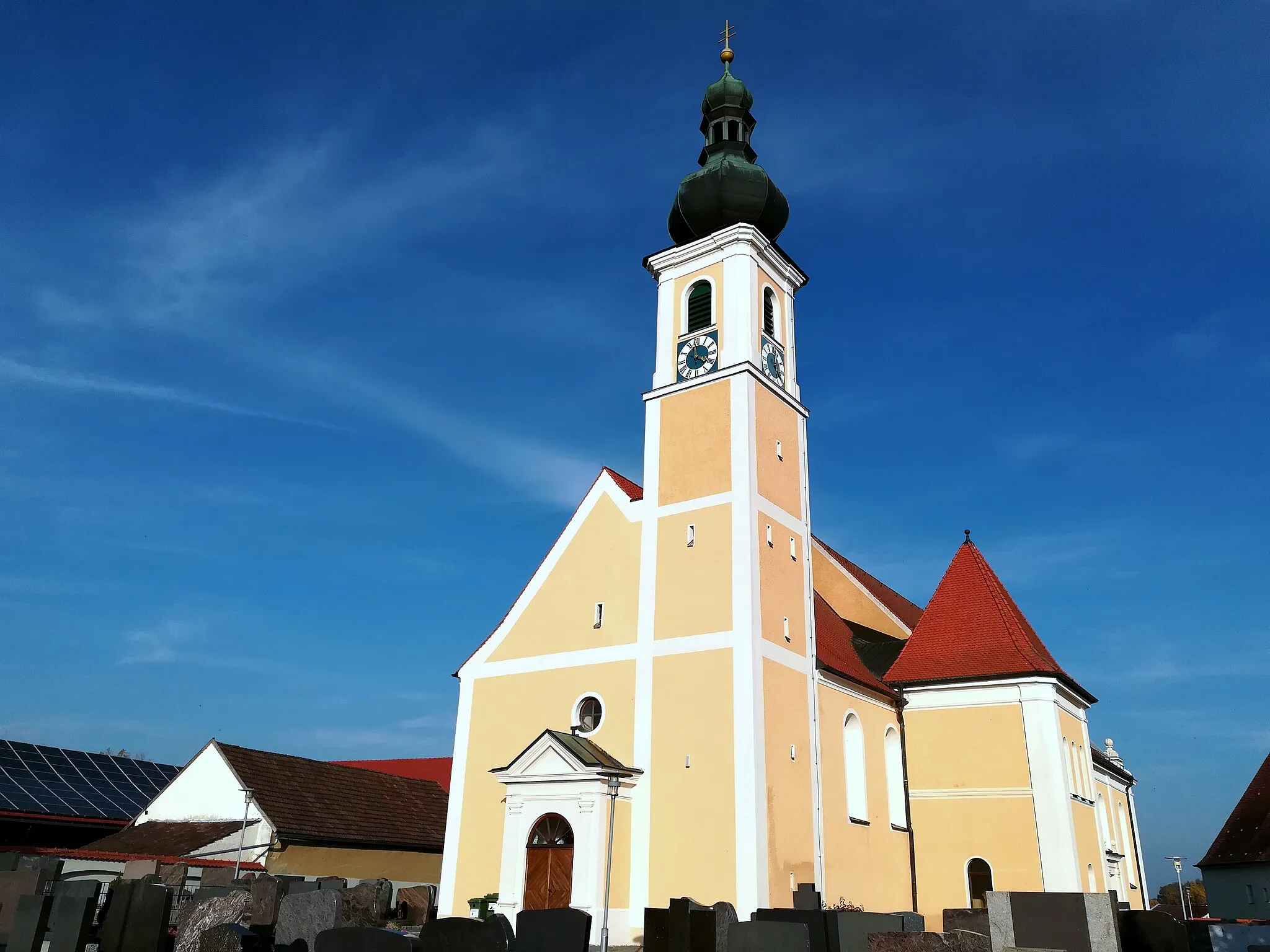
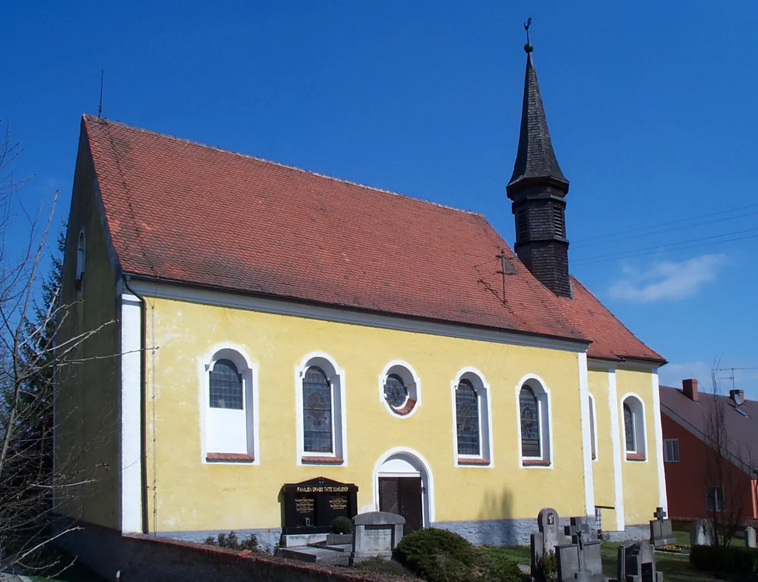
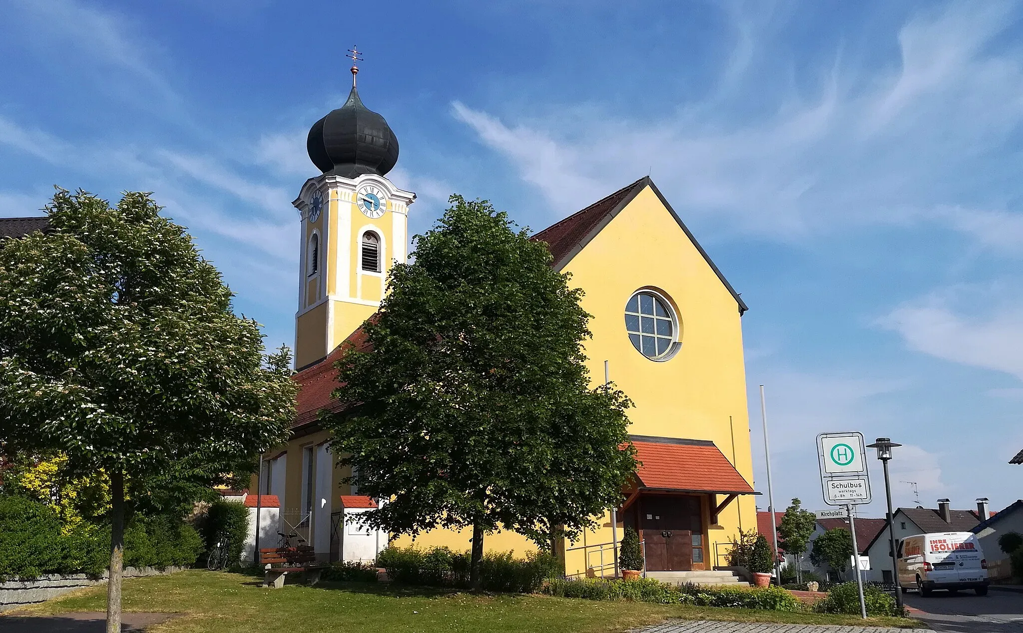
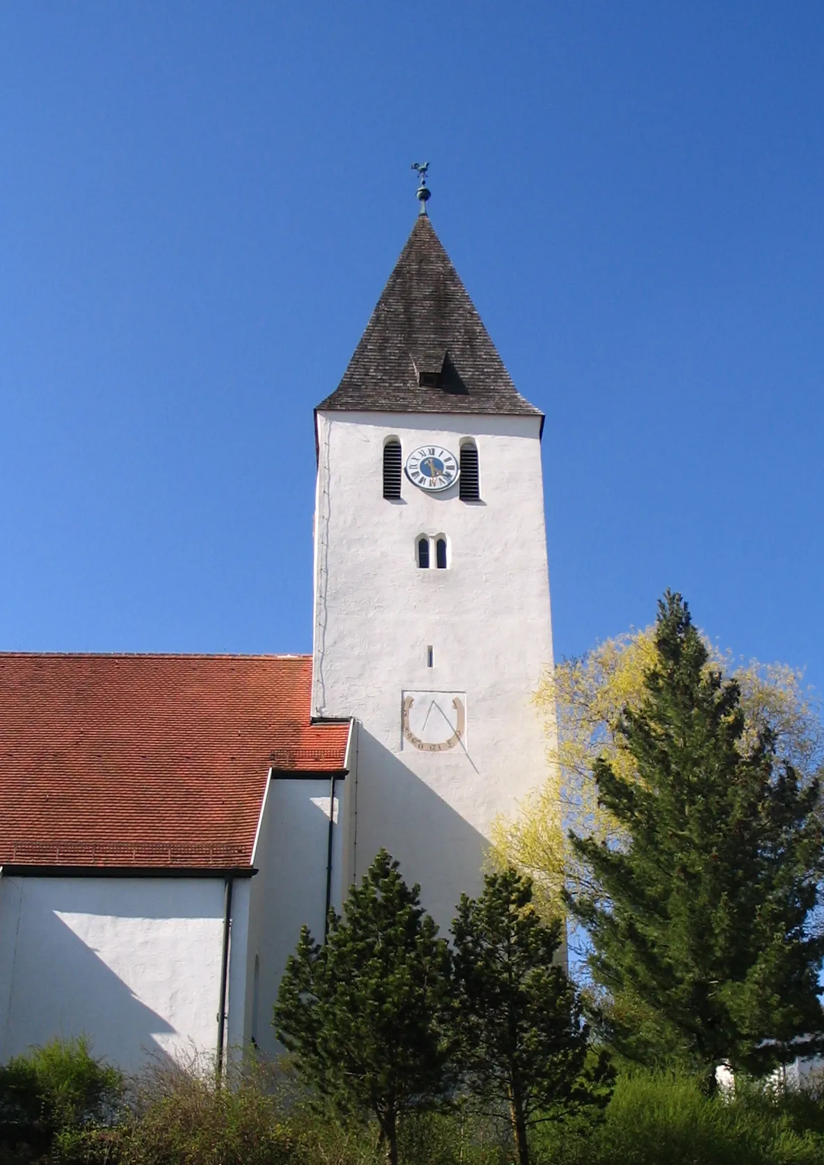
Schierling, situated in Oberpfalz, Germany, is a cyclist's delight. The region offers a mix of well-paved roads and gravel trails, perfect for a variety of cycling adventures. Cyclists can immerse themselves in the scenic beauty of the countryside and discover charming villages along their routes. While Schierling does not have any famous cycling-related spots or acclaimed climbs nearby, it promises an enjoyable experience for riders of all levels.
Discover the charm of Langquaid and enjoy the scenic beauty of Oberschambach on this road cycling route.
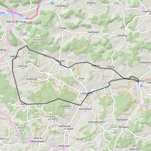
This road cycling route takes you through the charming town of Langquaid and offers beautiful views of the scenic Oberschambach region. With an ascent of 306 meters and a distance of 41 kilometers, this route is suitable for amateur cyclists looking for a leisurely ride. Langquaid is known for its historic buildings and provides a delightful starting point for this cycling adventure. Along the way, you'll pass by highlights such as Rohrbuckel, Oberschambach, Lappersberg, and finally return to Schierling.
Ride through scenic landscapes and historic villages around Laberweinting.
Laberweinting Loop is a beautiful cycling route that takes you through picturesque landscapes and charming villages in the vicinity of Laberweinting. This 51-kilometer gravel route features a total ascent of 594 meters, providing a decent challenge for well-trained amateurs. Along the way, you'll pass through highlights such as Schierling, Laberweinting, Brunnberg, Asbach, Oberellenbach, Ascholtshausen, and Mannsdorf. Each of these highlights offers unique attractions worth exploring. The Laberweinting Loop is rated 3 out of 5 in difficulty and has an epicness score of 4 out of 5, making it an enjoyable ride combining both scenic beauty and physical challenge.
Schierling and Back
Cycling adventure amidst the Oberpfalz
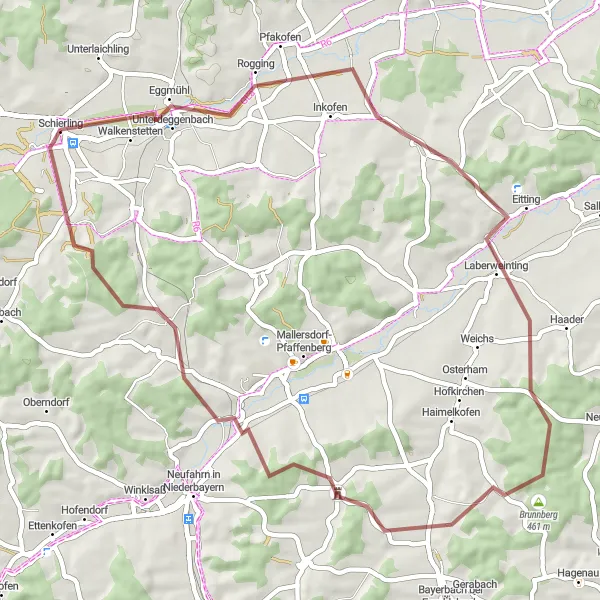
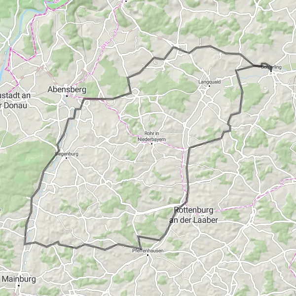
This gravel route starting near Schierling takes cyclists on a picturesque journey through the Oberpfalz region of Germany. With a total distance of 71 kilometers and an ascent of 1066 meters, the route offers a challenging yet rewarding experience for cyclists. From the charming village of Asenkofen to the historic town of Rottenburg an der Laaber, riders will encounter stunning landscapes and cultural highlights along the way. Overall, this route showcases the natural beauty and rich heritage of the Oberpfalz, making it a must-try for cycling enthusiasts.
Embark on an epic 79-kilometer road cycling adventure to Ergoldsbach.
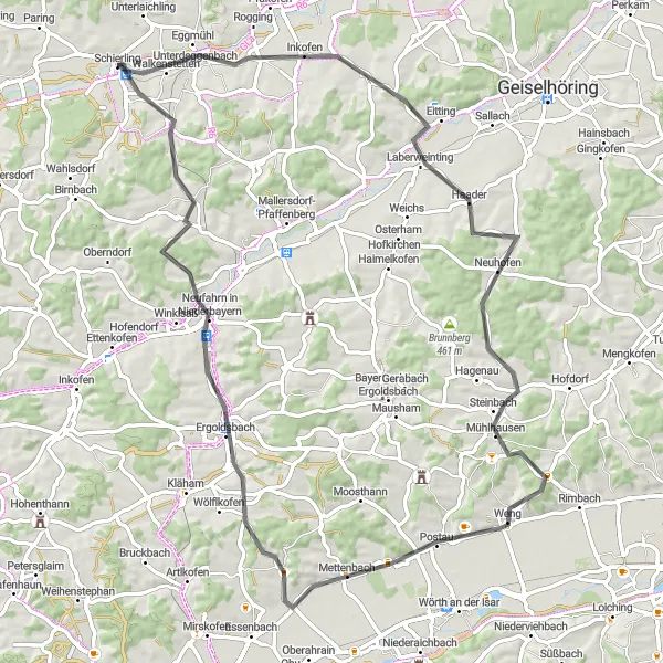
The Ergoldsbach Epic Ride is a challenging road cycling route covering a distance of 79 kilometers with a significant ascent of 744 meters. This route is suitable for experienced riders seeking an adrenaline-pumping challenge. Highlights along the way include Laberweinting, Weinberg, Weng, Ergoldsbach, Kapellenberg/Lourdes-Kapelle, and Schierling. Each highlight offers unique attractions and adds to the overall fascination of the journey. The Ergoldsbach Epic Ride is rated 5 out of 5 in difficulty and has an epicness score of 4 out of 5, promising a legendary cycling experience through beautiful landscapes and challenging terrains.
Explore the beautiful landscapes of Herrngiersdorf and conquer the challenging Hieselberg climb.
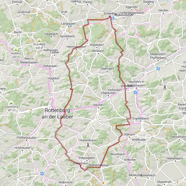
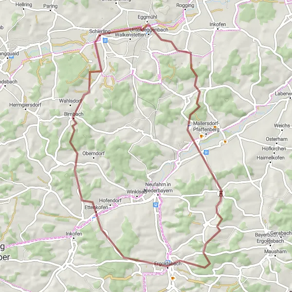
This road cycling route takes you through the picturesque landscapes around Herrngiersdorf, offering stunning views and challenging climbs. With an ascent of 665 meters and a distance of 88 kilometers, this route is suitable for experienced amateur cyclists seeking a moderate challenge. Herrngiersdorf is known for its idyllic countryside and provides a perfect starting point for this adventurous ride. The highlight of the route is the Hieselberg climb, a challenging ascent that rewards cyclists with panoramic views of the surrounding area. Other highlights along the way include Niederhatzkofen, Elsendorf, Großmuß, and a return to Schierling.
Niederleierndorf Loop
Enjoy a scenic loop through Niederleierndorf and its surrounding regions.
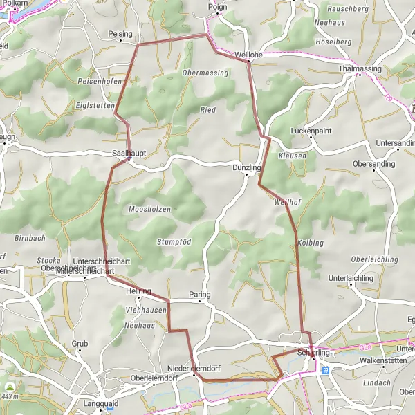
Embark on a breathtaking 32-kilometer gravel adventure through Niederleierndorf and its surrounding regions. Boasting an ascent of 445 meters, this route is suitable for experienced cyclists seeking a moderate challenge. Key highlights of the Niederleierndorf Loop include Niederleierndorf, Saalhaupt, and Schierling. The Niederleierndorf Loop is rated 2 out of 5 in difficulty and has an epicness score of 3 out of 5, combining both natural beauty and a thrilling cycling experience.
Embark on an adventurous journey through Eggmühl and surrounding areas.
Experience the thrill of off-road cycling with the Eggmühl Adventure Ride. This 51-kilometer gravel route features a challenging ascent of 716 meters, making it suitable for experienced amateur riders. Highlights along the route include Eggmühl, Schloss Oberellenbach, Kapellenberg/Lourdes-Kapelle, Prinkofen, Piegendorf, and Allersdorf. These attractions offer a diverse range of experiences, from exploring historic sites to enjoying scenic views. The Eggmühl Adventure Ride is rated 4 out of 5 in difficulty and has an epicness score of 4 out of 5, promising an exciting and memorable biking experience.
Alteglofsheim Trail
Discover the scenic beauty of Alteglofsheim and its surroundings on this exciting gravel ride.
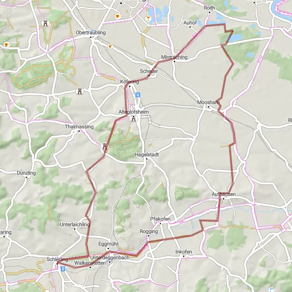
The Alteglofsheim Trail is a scenic cycling route that covers approximately 52 kilometers with an ascent of 297 meters. This gravel route offers a moderate challenge suitable for amateur riders of various training levels. Highlights along the trail include Alteglofsheim, Mintraching, Aufhausen, Pfakofen, and Schierling. Each highlight provides unique attractions, from historic landmarks to picturesque landscapes. The Alteglofsheim Trail is rated 2 out of 5 in difficulty and has an epicness score of 3 out of 5, guaranteeing a pleasant and enjoyable ride for cycling enthusiasts.
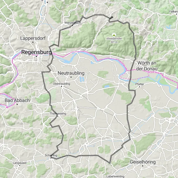
Embark on a road cycling adventure through Thalmassing and conquer the famous Keilstein climb.
This road cycling route takes you through the charming town of Thalmassing and leads you to the iconic Keilstein climb. With an ascent of 985 meters and a distance of 103 kilometers, this challenging route is suitable for experienced cyclists. Thalmassing is known for its historic buildings and offers a pleasant starting point for this epic ride. The highlight of the route is the Keilstein, a legendary climb that attracts cyclists from all over the world. Besides the Keilstein, the route also showcases other beautiful highlights such as Schloss Pürkelgut, Altenthann, Riekofen, and Eggmühl.
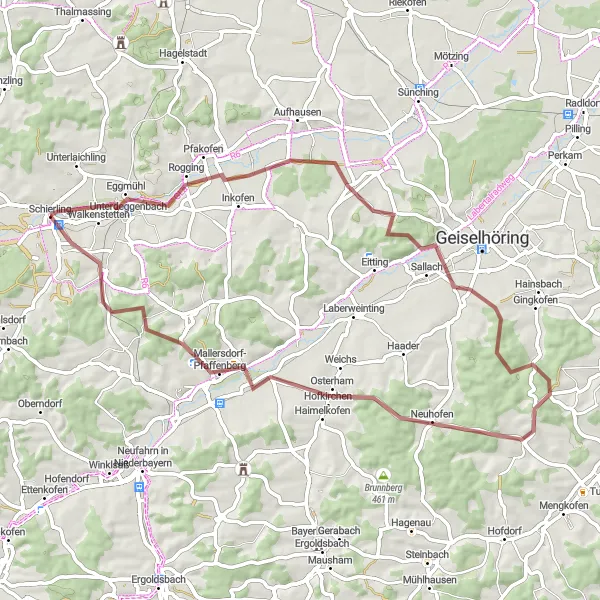
Explore the hidden gems of Oberpfalz on this gravel ride
Embrace the beauty of the Oberpfalz region with this 61-kilometer gravel route starting near Schierling. With an ascent of 696 meters, the route is suitable for well-trained amateurs seeking a moderately challenging ride. Along the way, cyclists will encounter highlights such as the tranquil village of Pfakofen and the historical town of Mallersdorf-Pfaffenberg. From Wallkofen to Martinsbuch, riders can immerse themselves in the peaceful countryside and enjoy scenic views of the surroundings. Ending the journey in Schierling, cyclists can indulge in the traditional Bavarian charm of this picturesque village.
Cycling routes nearby:


Nearby regions: