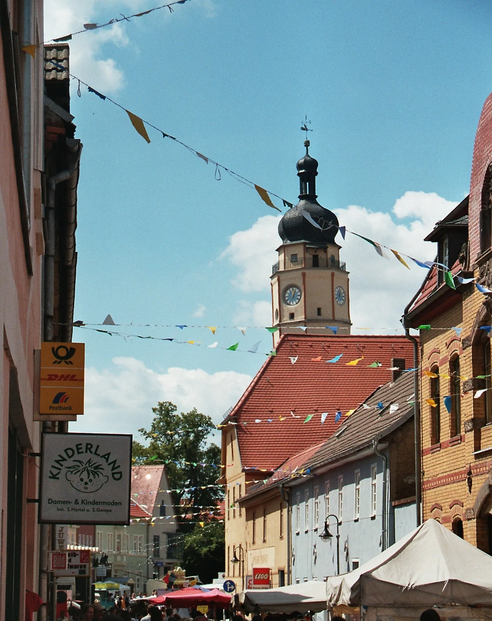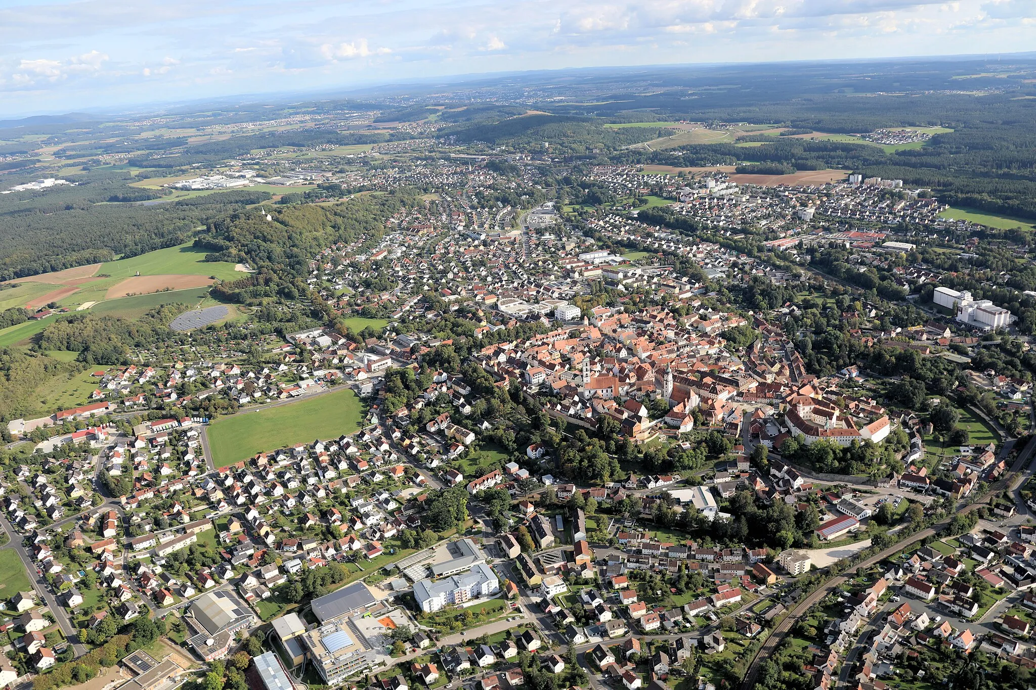
Historic charm meets natural beauty in Sulzbach-Rosenberg.
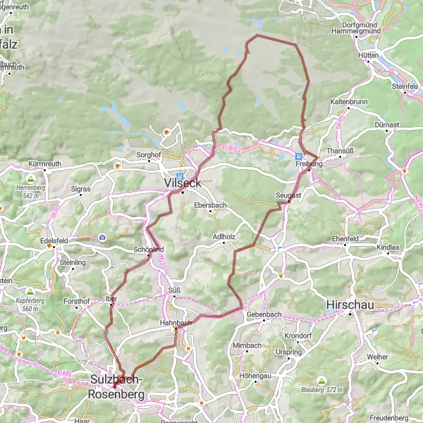
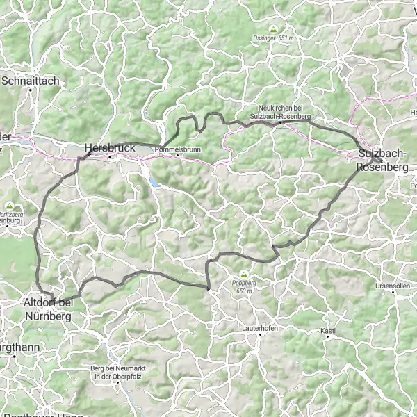
Cycling routes from Sulzbach-Rosenberg
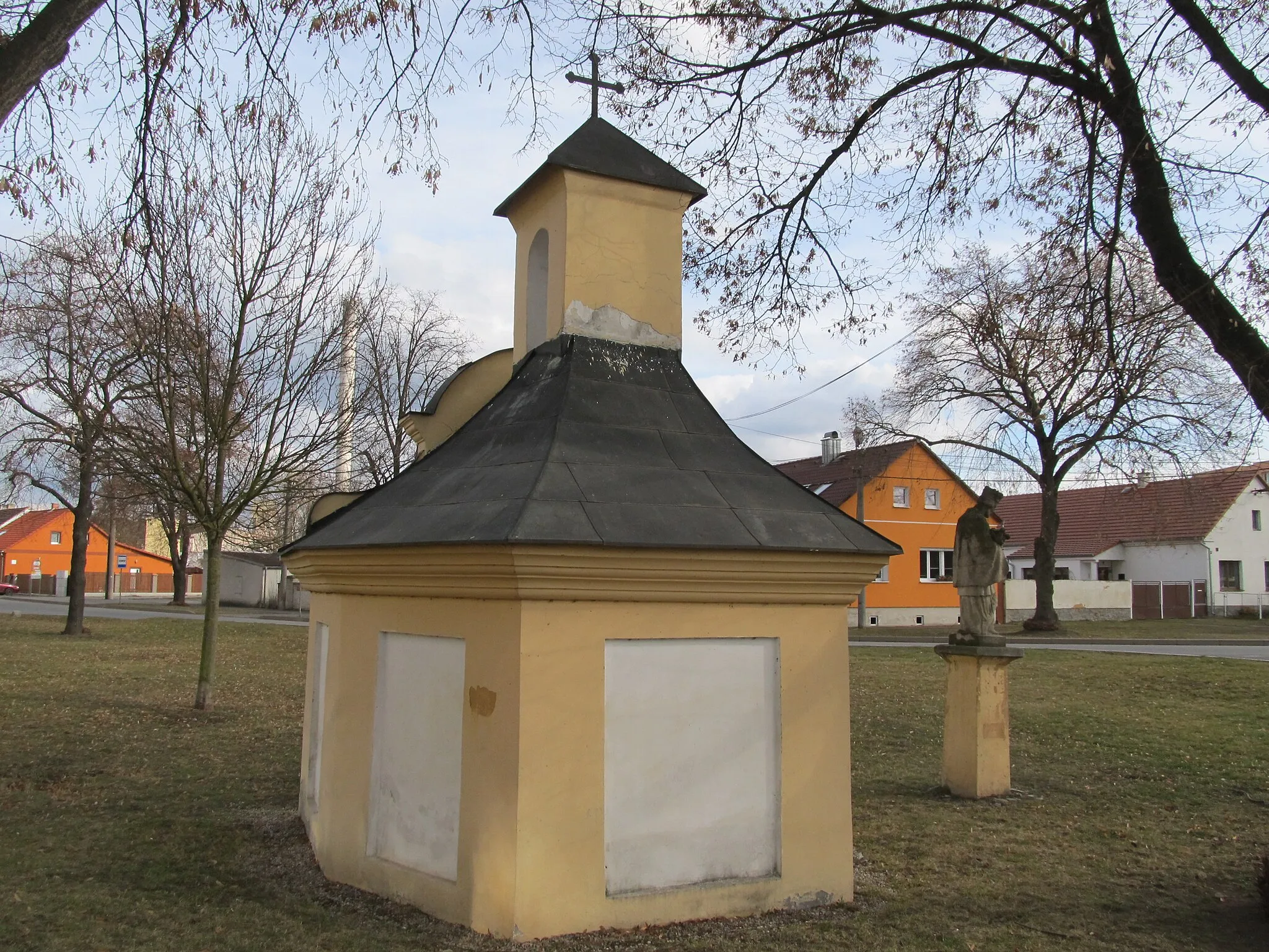
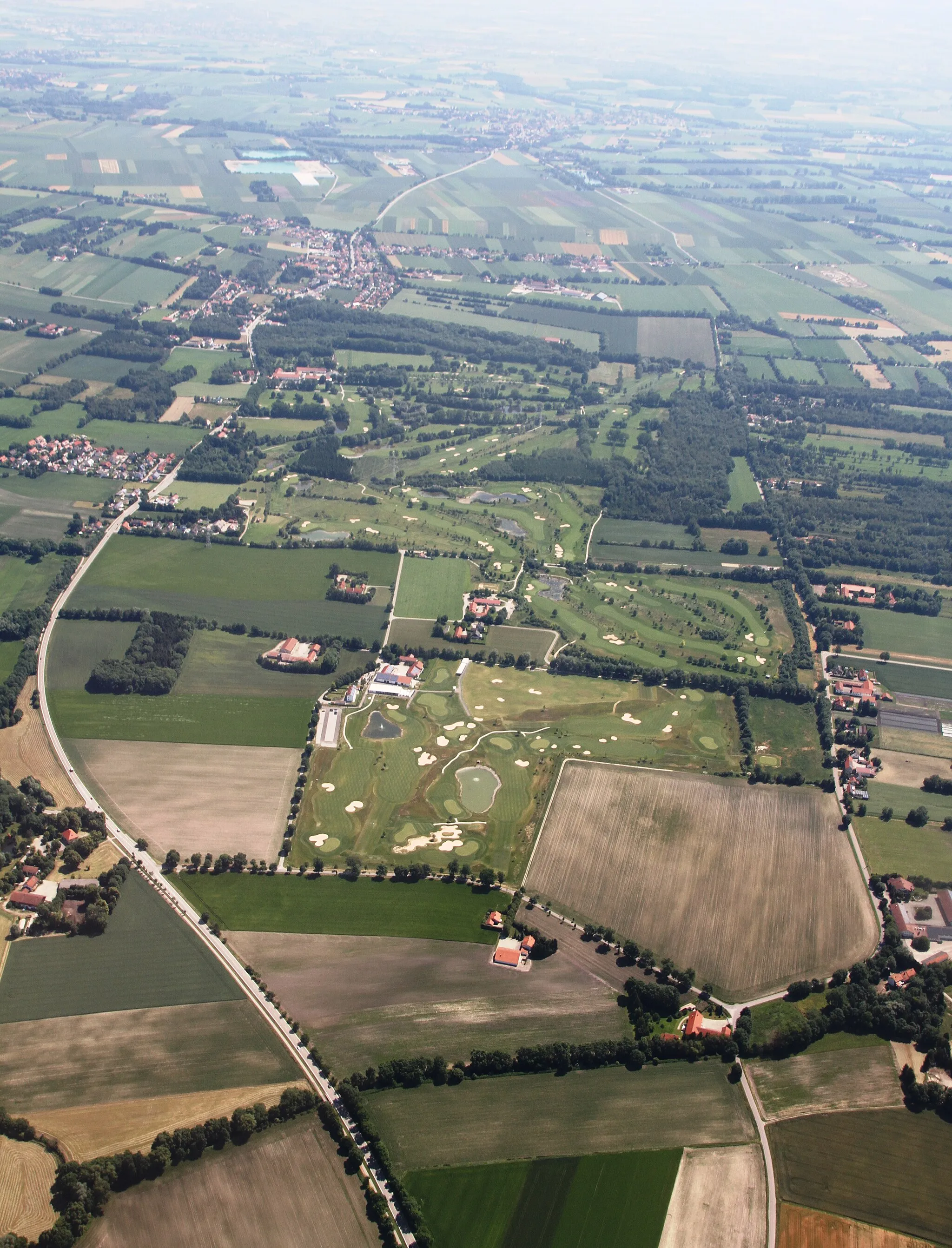
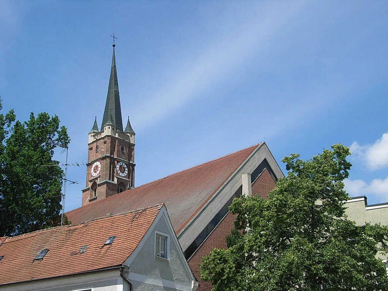
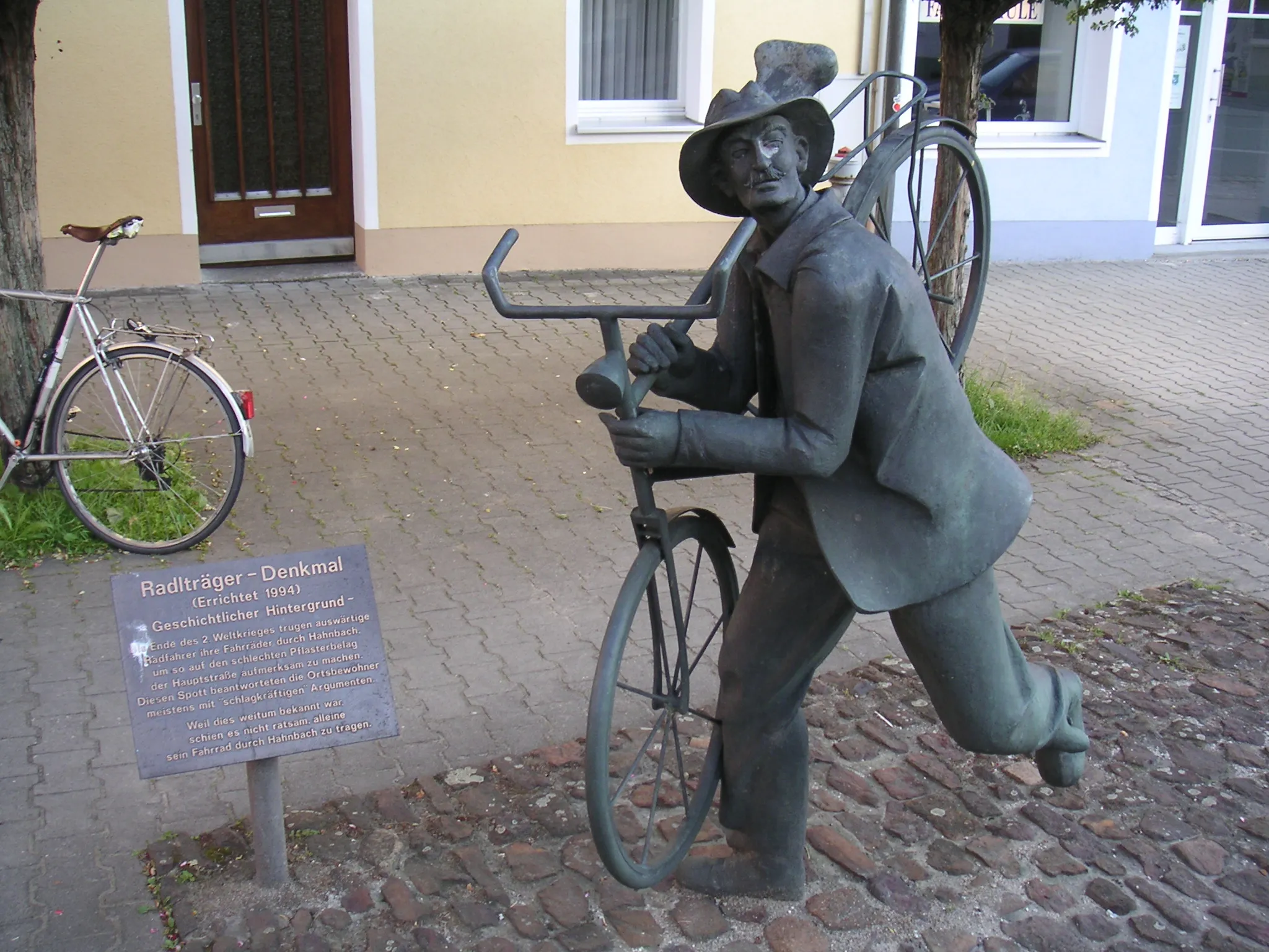
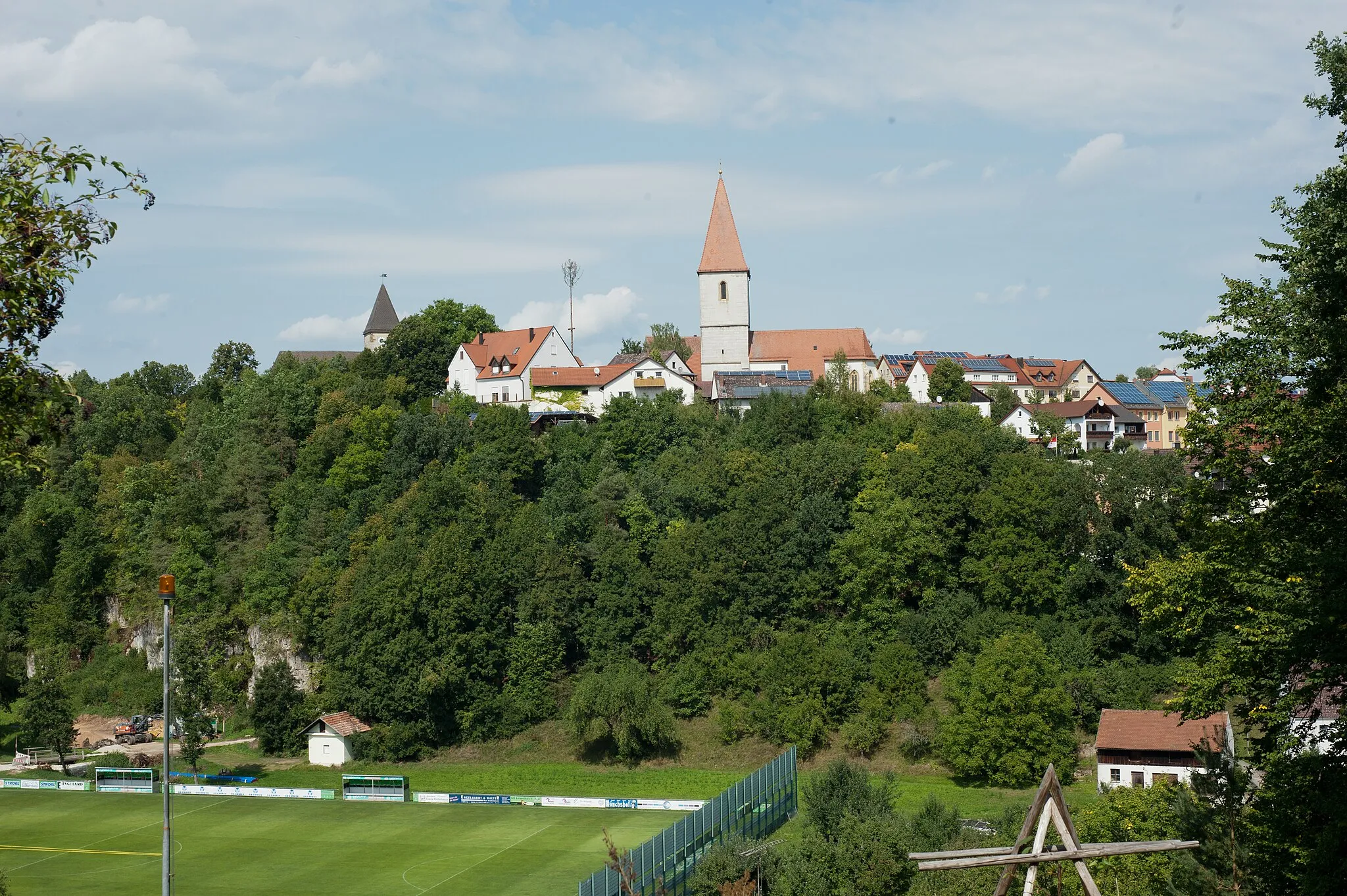
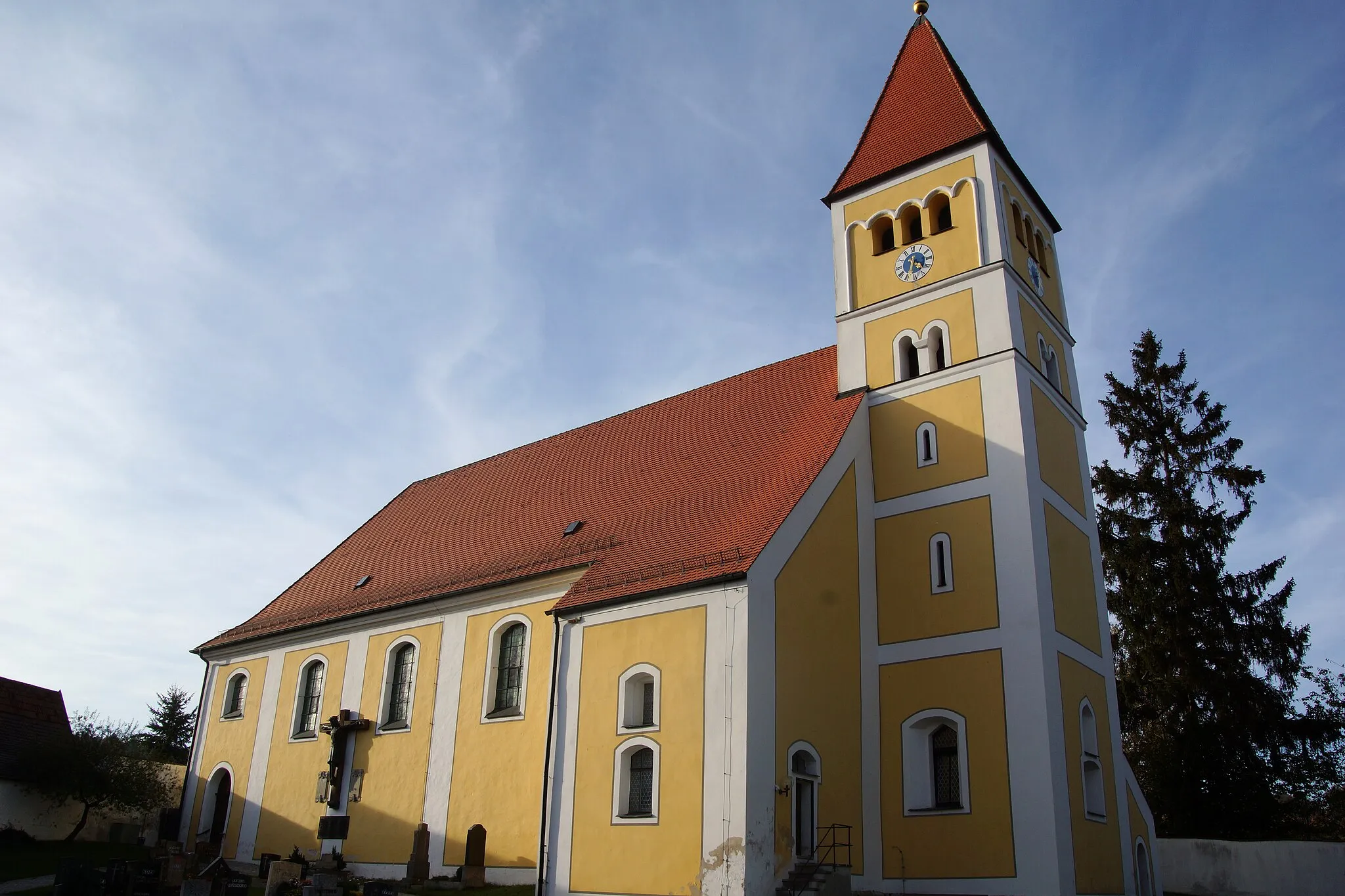
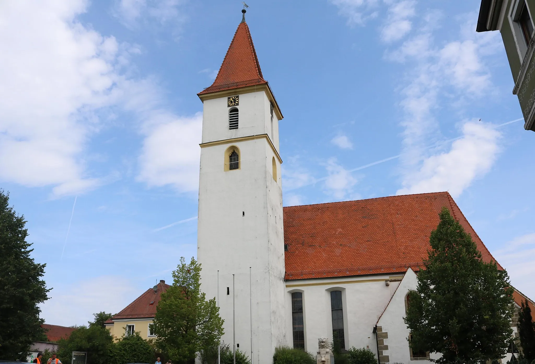
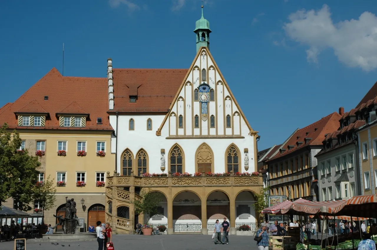
Sulzbach-Rosenberg, located in Oberpfalz, Germany, offers a mix of historic charm and scenic landscapes for cyclists to explore. The locality features well-preserved medieval architecture, allowing cyclists to embark on a journey through time while riding through its cobblestone streets. Cyclists can also explore the nearby Naab Valley, known for its rolling hills and beautiful river views. Sulzbach-Rosenberg is well-connected with cycling infrastructure, with designated bike lanes and paths for safer rides. With its rich history and picturesque surroundings, Sulzbach-Rosenberg is a recommended destination for cyclists looking to combine cultural exploration with outdoor adventure.
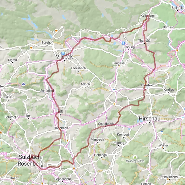
Bavarian Gravel Expedition
Embark on an exciting gravel expedition through the picturesque Bavarian countryside.
Immerse yourself in the tranquil beauty of the Bavarian countryside on this gravel route near Sulzbach-Rosenberg. With a total ascent of 797 meters, you'll experience a combination of challenging climbs and rewarding descents.
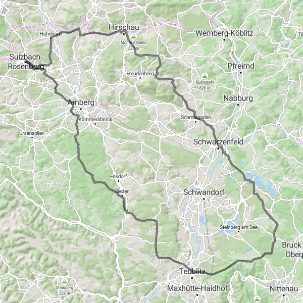
Immerse yourself in the picturesque countryside around Sulzbach-Rosenberg on this road cycling route.
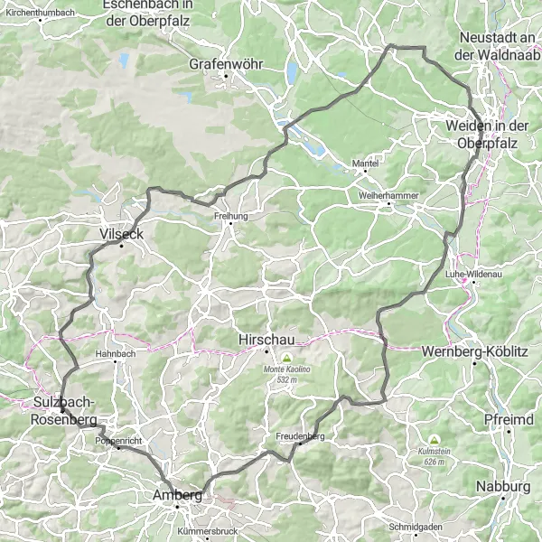
This road cycling route near Sulzbach-Rosenberg covers a distance of 88 kilometers and includes an ascent of 979 meters. With highlights such as Bergstein, Neutrasfelsen, and Bürtel, this route takes you through scenic landscapes and idyllic villages. The route offers a mix of challenging sections and serene surroundings, allowing you to experience the beauty of the Oberpfalz region. Overall, this route is recommended for seasoned cyclists looking for a diverse and rewarding cycling experience.
Schloßberg Loop
Explore the stunning landscapes and medieval castle of Schloßberg on this gravel route near Sulzbach-Rosenberg.
Discover the beauty of southern Germany on this scenic gravel route. With a total ascent of 597 meters, you'll enjoy challenging climbs and breathtaking views along the way.
Conquer the challenging hills and enjoy stunning views on this demanding cycling route around Sulzbach-Rosenberg.
Prepare yourself for an ultimate cycling challenge near Sulzbach-Rosenberg with a distance of 135 kilometers and an ascent of 1507 meters. Highlights such as Kainsricht, Weiher, and Schloss Fischbach make this route truly epic. Offering breathtaking landscapes and moments of intense climbs, this route is not for the faint-hearted. With famous climbs like Schloßberg and Pavillon, this route provides a legendary cycling experience that will push your limits. The route incorporates both demanding sections and opportunities to enjoy the beauty of the Oberpfalz region, making it a thrilling adventure for experienced cyclists.
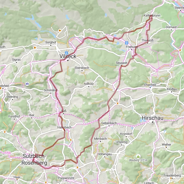
Kaltenbrunn Loop
Explore the scenic countryside and historic villages on this captivating gravel route.
Get ready for an unforgettable adventure through the picturesque landscapes surrounding Sulzbach-Rosenberg. With a total ascent of 709 meters, this gravel route offers a perfect balance of challenging climbs and exhilarating descents.

Experience the thrill of road cycling on this challenging route featuring picturesque villages and stunning landscapes.
Get ready for an exhilarating ride through the diverse terrain of Sulzbach-Rosenberg. With a total ascent of 857 meters, this road cycling route is ideal for experienced riders seeking a challenging adventure.
Galgenberg and Beyond
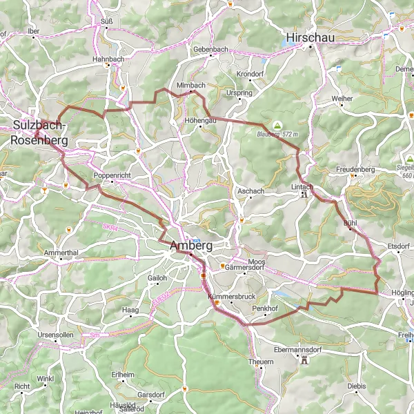
Experience the breathtaking views of the Galgenberg and discover highlights like Steiningloh, Lintach, and Altberg on this gravel cycling route near Sulzbach-Rosenberg.
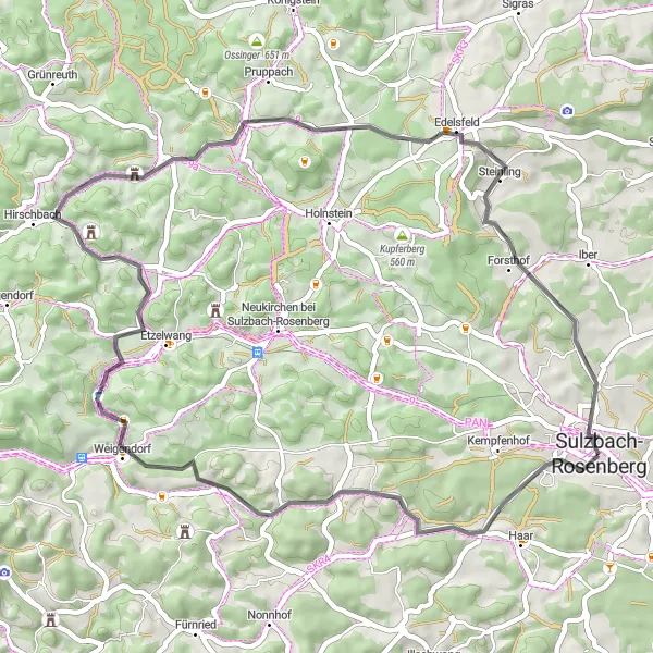
Embark on an adventurous cycling journey near Sulzbach-Rosenberg and explore the Galgenberg. This distinctive route covers a total distance of 56 kilometers with an ascent of 814 meters. With highlights such as Steiningloh, Lintach, and Altberg along the way, you'll be treated to stunning landscapes and charming villages. The route is well-suited for gravel biking enthusiasts looking for a moderately challenging experience.
Discover the beautiful landscape of Sulzbach-Rosenberg on this round-trip cycling route.
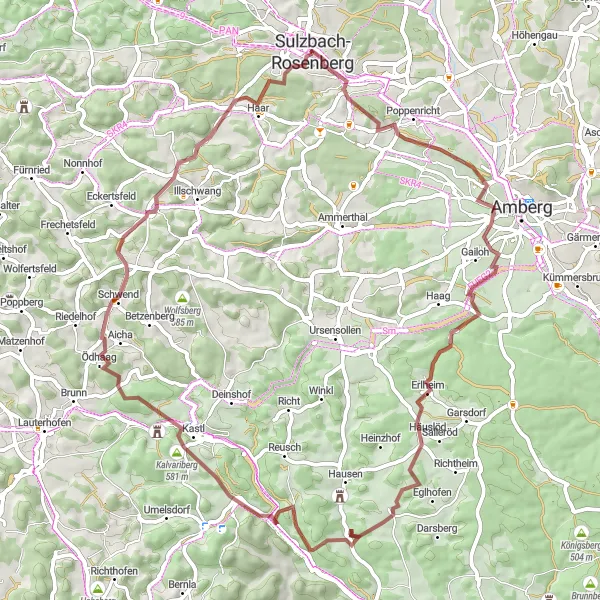
This round-trip cycling route takes you through the picturesque countryside near Sulzbach-Rosenberg. The route covers a total distance of 111 kilometers and includes a challenging ascent of 1222 meters. With highlights such as Galgenberg, Burg Dagestein, and Rothenstadt, this route offers stunning views and interesting historical sites. Overall, this route is suitable for well-trained amateurs and offers a thrilling and scenic cycling experience.
Discover the charm of the Bavarian villages and immerse yourself in the natural beauty of the region.
Experience the essence of traditional Bavaria on this road cycling route near Sulzbach-Rosenberg. With a total ascent of 688 meters, you'll enjoy scenic landscapes, picturesque villages, and captivating historical sites along the way.
Embark on a thrilling gravel adventure near Sulzbach-Rosenberg.
This gravel cycling route near Sulzbach-Rosenberg covers a distance of 64 kilometers and includes an ascent of 1109 meters. With highlights such as Schloßberg, Vilstor, and Kalvariberg, this route offers a mix of natural and cultural attractions. The route provides opportunities to explore the beautiful countryside and enjoy the peacefulness of the region. This route is suited for experienced gravel bikers looking for a challenging adventure in a stunning environment.
Cycling routes nearby:


Nearby regions: