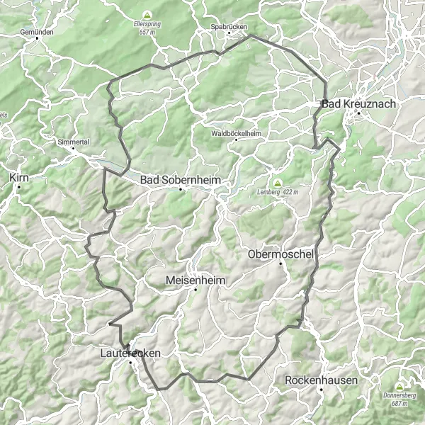
Cycling Oasis in Rheinhessen-Pfalz
Cycling routes from Lauterecken
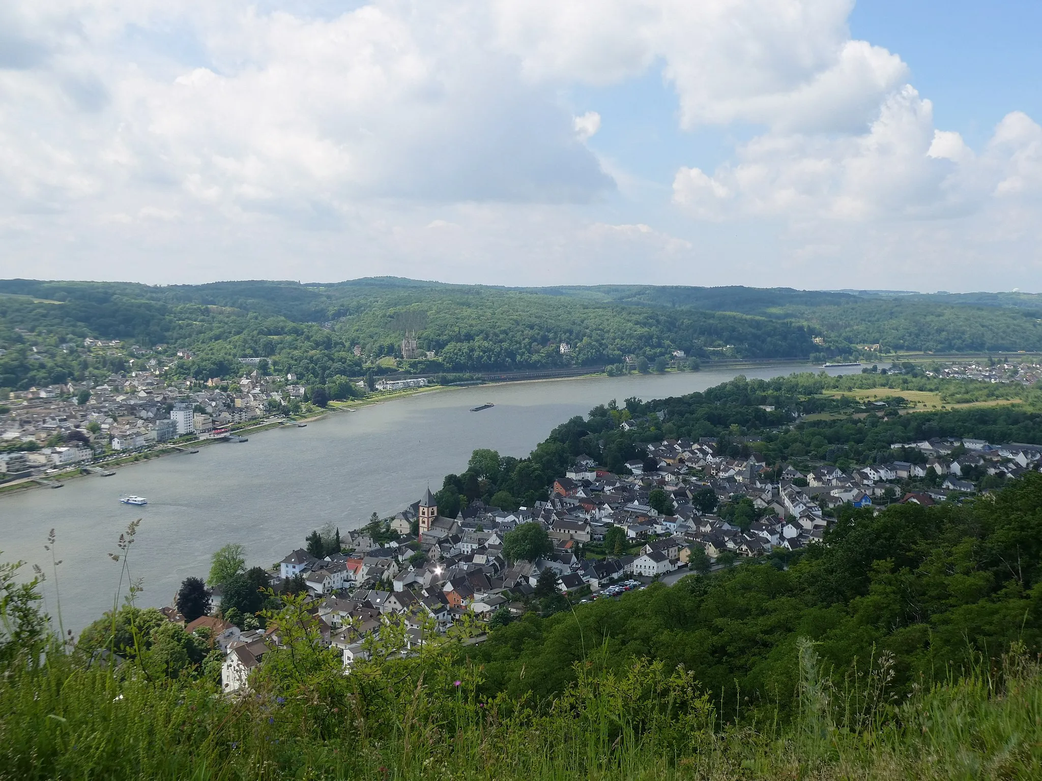
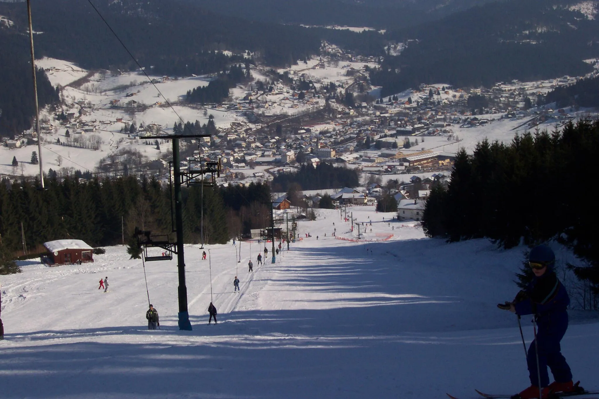
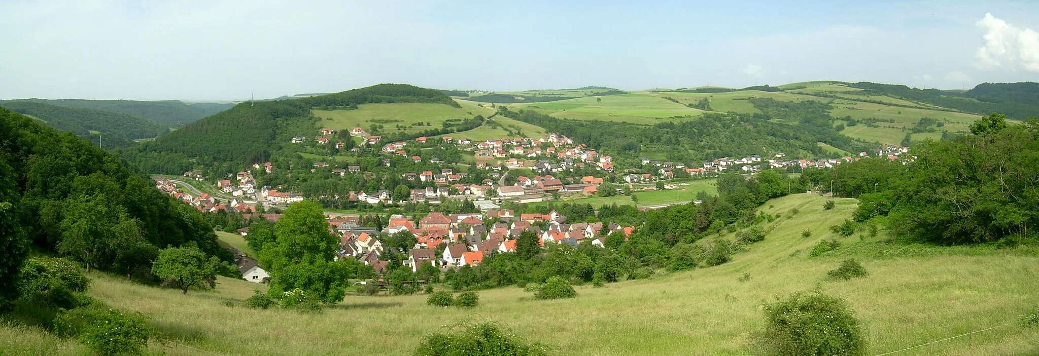
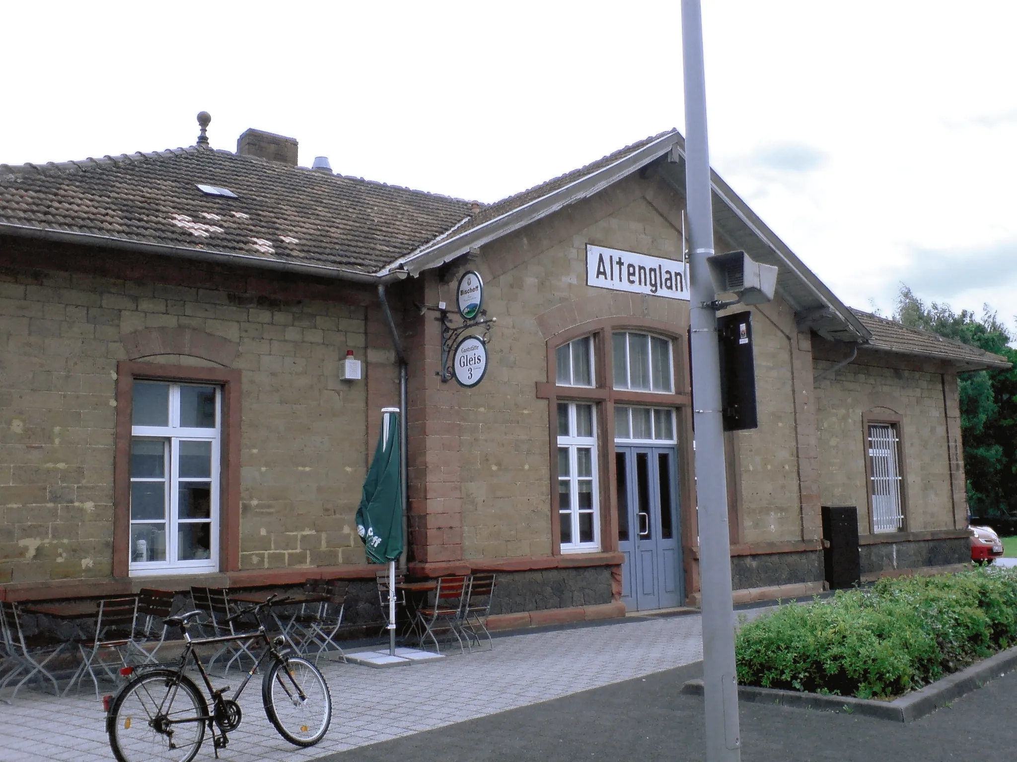
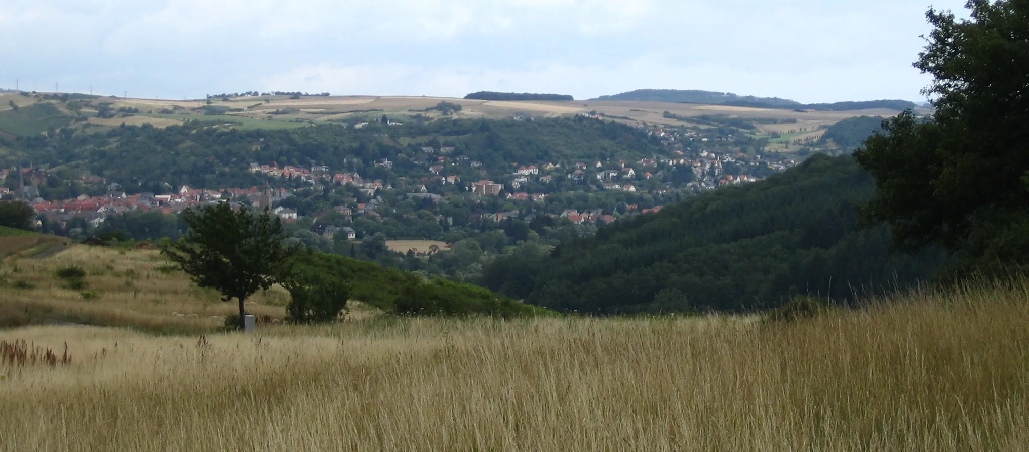
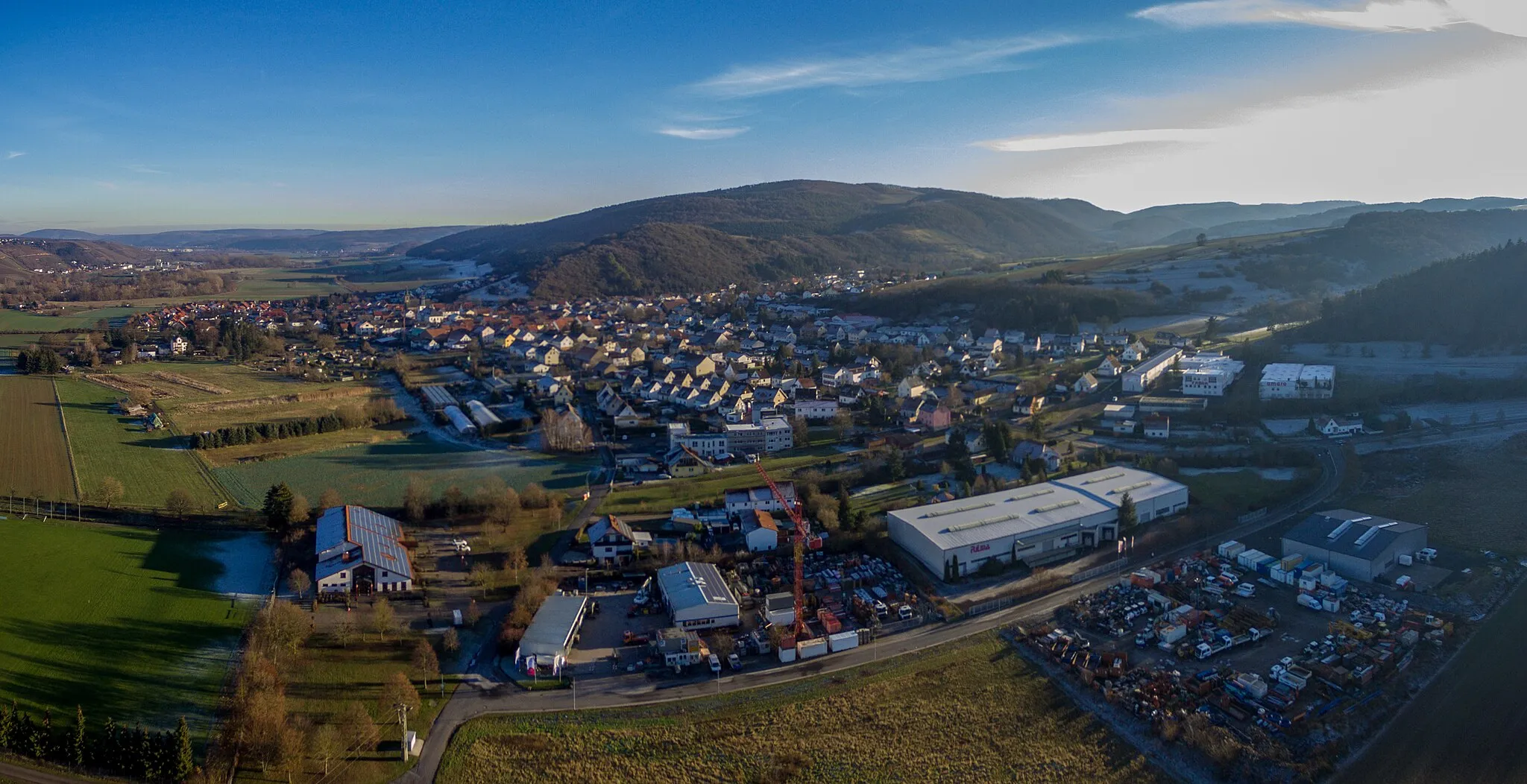
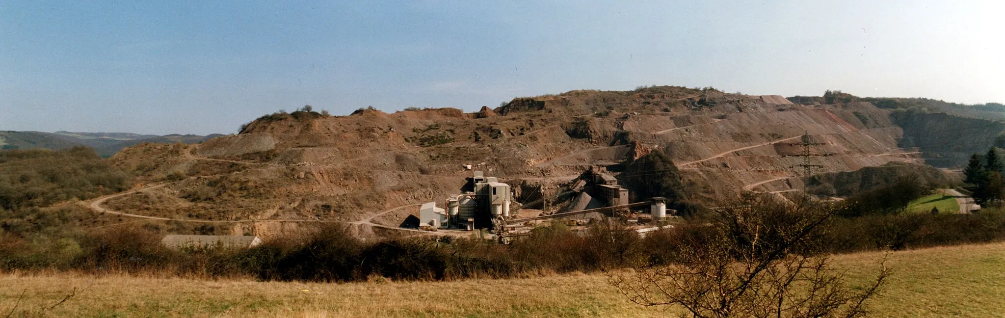
Lauterecken in Rheinhessen-Pfalz, Germany is a charming town surrounded by beautiful nature, ideal for road and gravel cycling. The region offers a mix of flat and hilly terrain, providing diverse cycling routes. Cyclists can enjoy peaceful rides through vineyards, meadows, and forests, soaking in the natural beauty of the surroundings. Lauterecken is also renowned for its cycling events and races, attracting both professionals and enthusiasts. The town's cycling infrastructure is well-developed, with designated bike lanes and plenty of facilities for cyclists. A famous nearby cycling spot is the Donnersberg, a challenging climb with stunning views at the top.
The Hills of Lauterecken
Conquer the challenging ascent to Gauskopf and enjoy the scenic views along the way.
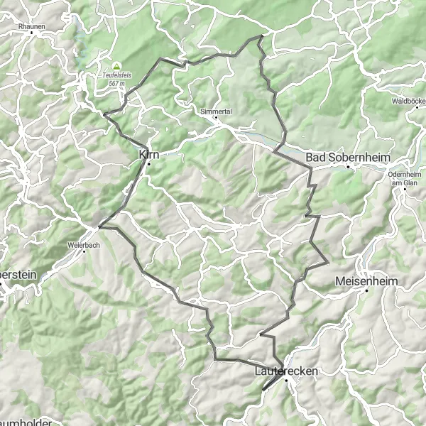
This road cycling route near Lauterecken is perfect for riders looking for a challenge. With a total ascent of 1382 meters over a distance of 86 kilometers, this route is not for the faint of heart. However, the effort pays off with breathtaking views from the summit of Gauskopf. Along the way, you'll pass through picturesque towns such as Oberreidenbach and Weitersborn.
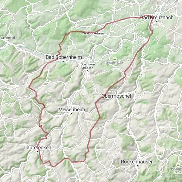
Discover the peaceful countryside surrounding Lauterecken on this scenic gravel route.
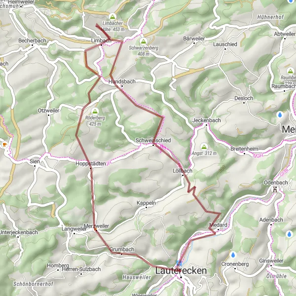
Experience the tranquil side of cycling on this 34-kilometer gravel route. With an ascent of 669 meters, you'll pedal through picturesque landscapes and pass through quaint villages. Along the way, the Röderberg offers a panoramic viewpoint, and Hundsbach provides a serene atmosphere to relax and soak in the rural charm.
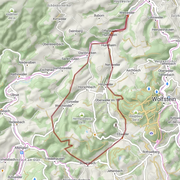
Explore the charming village of Eßweiler on this exciting gravel route
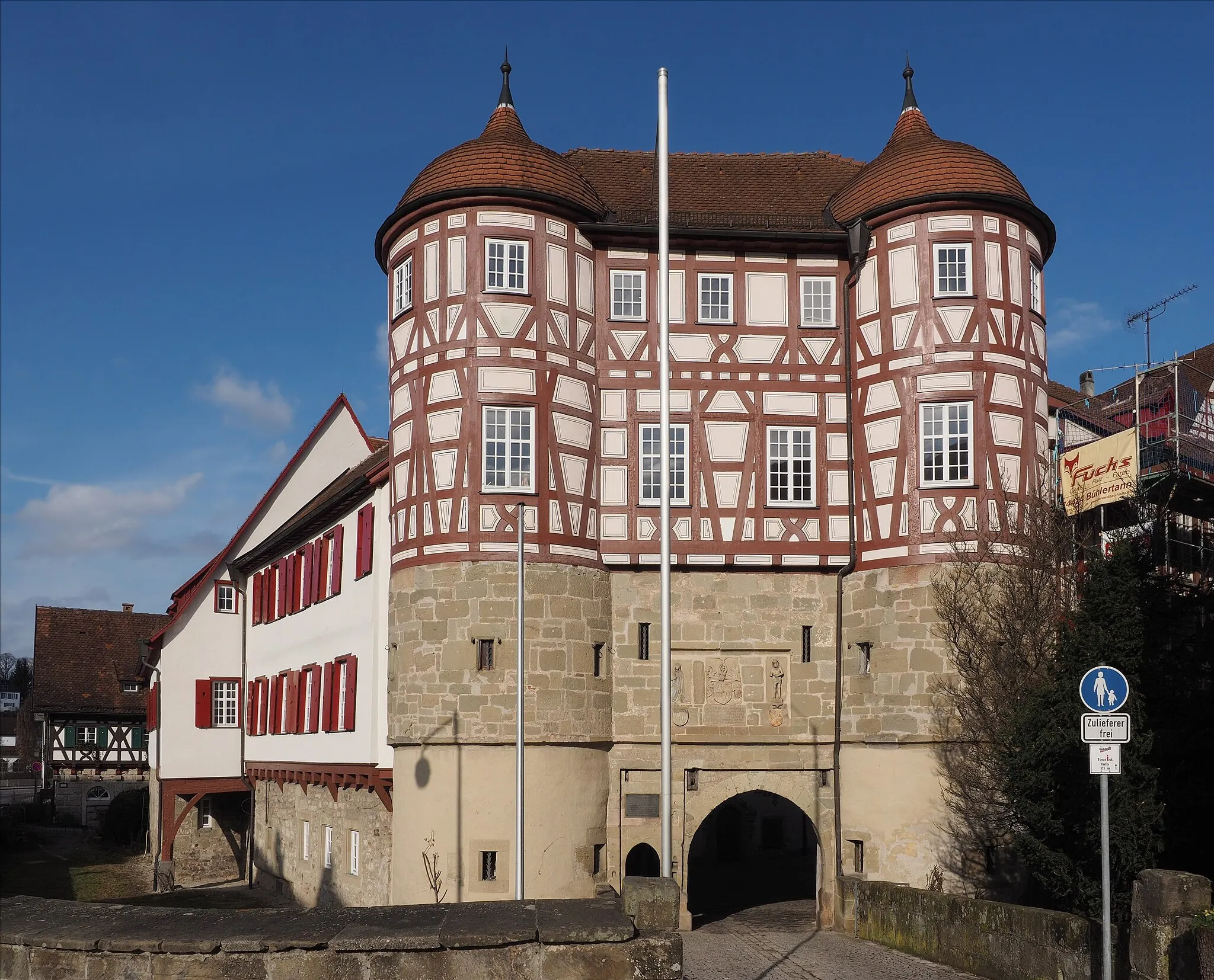
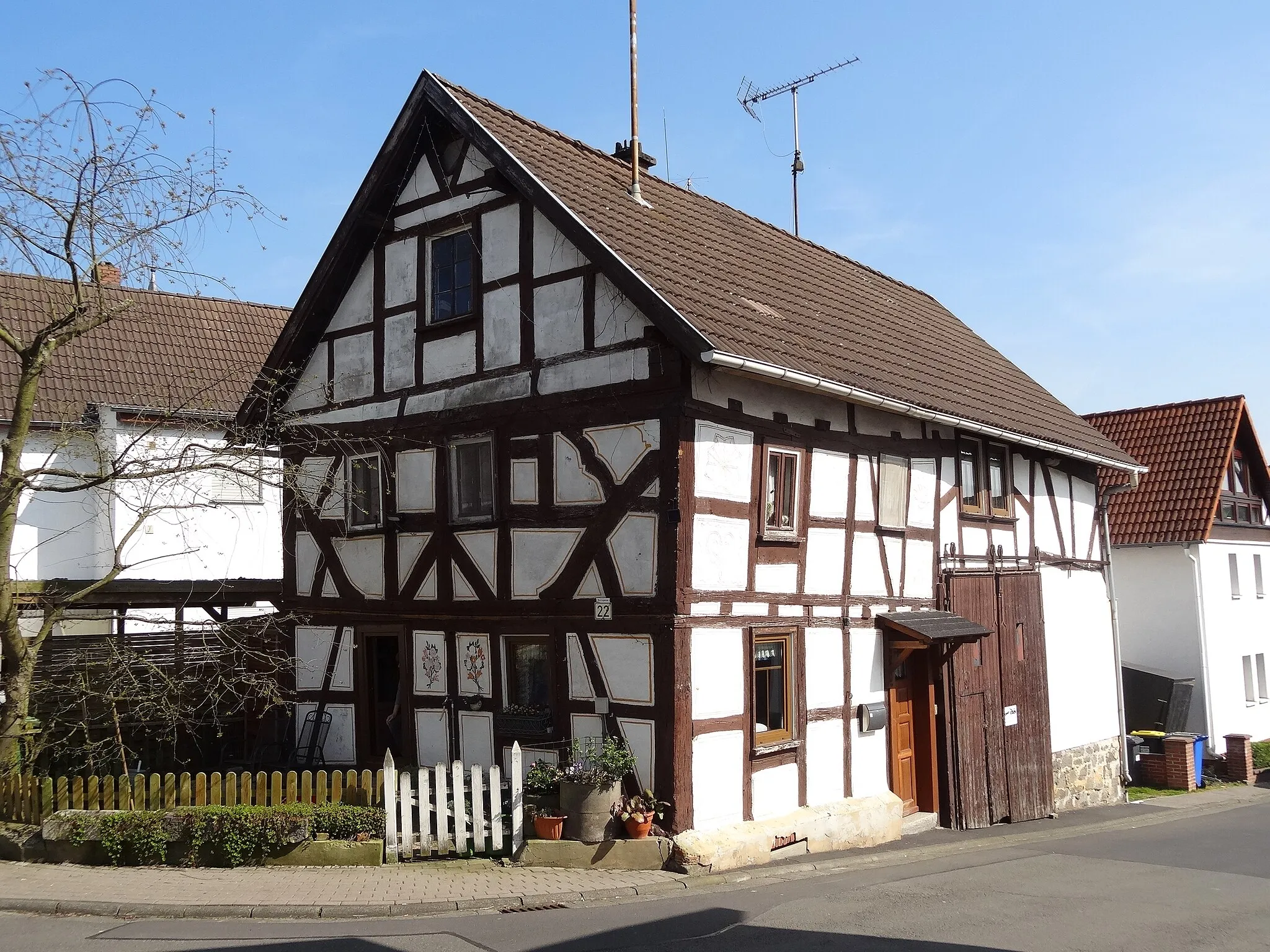
This 33 km gravel route allows cyclists to explore the hidden gems around Lauterecken, with an ascent of 556 m. The highlight of the route is the enchanting village of Eßweiler, known for its charming half-timbered houses and peaceful surroundings. Cyclists will also pass through the picturesque Offenbach-Hundheim area, offering stunning views of the countryside.
Hoppstädten Grand Tour
Embark on a challenging road cycling adventure with stunning views and historical landmarks.
The Hoppstädten Grand Tour is a challenging road cycling route that covers a distance of 155 kilometers and includes an ascent of 2162 meters. This epic route is perfect for experienced cyclists looking for a thrilling adventure. Along the way, you'll encounter breathtaking views, historical landmarks, and quaint villages.
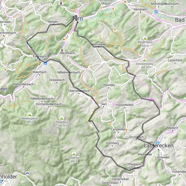
A thrilling gravel route from Lauterecken to Hohenöllen
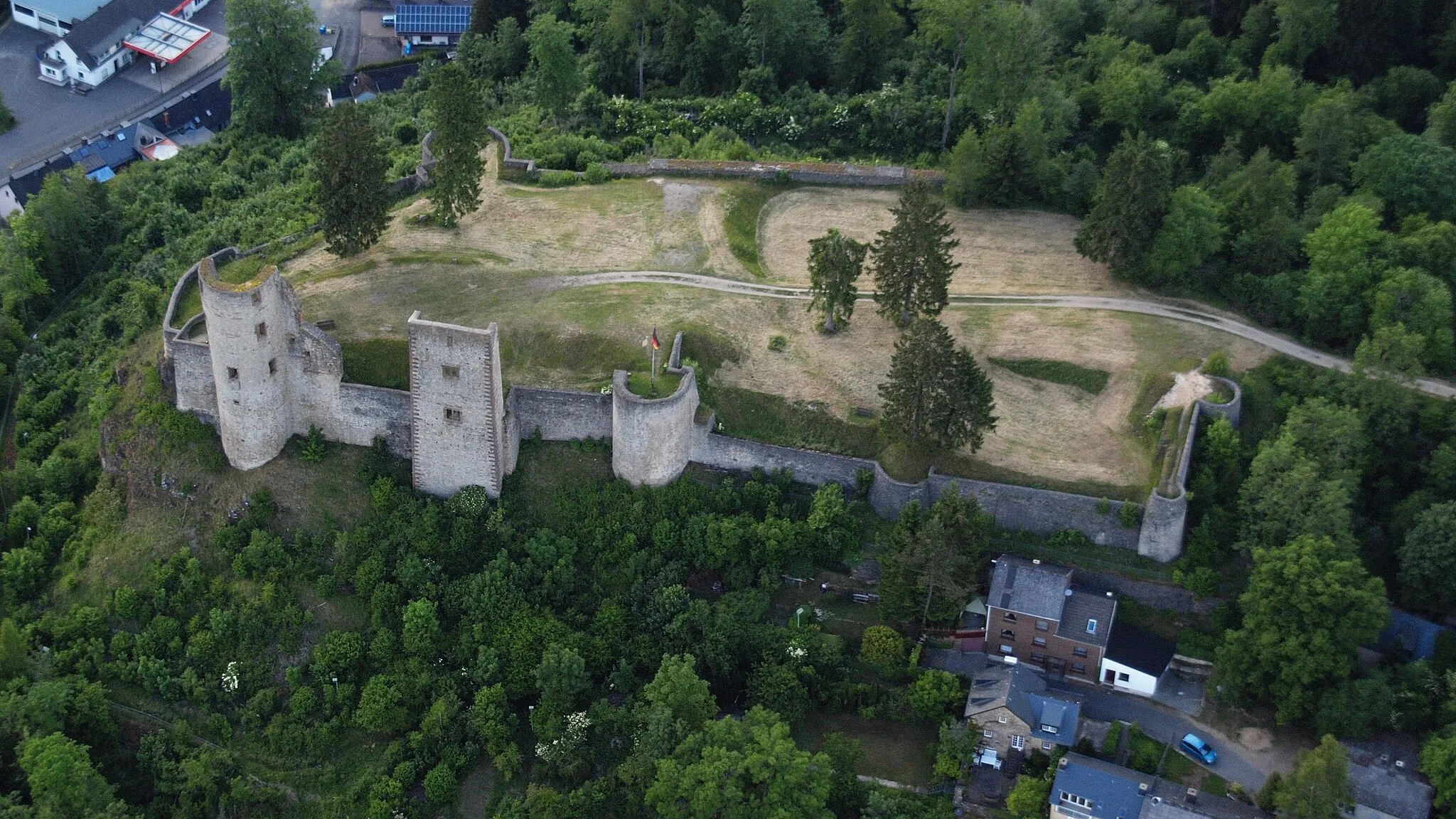
This gravel route starts in Lauterecken and takes you through scenic landscapes and charming villages. With a total distance of 89 km and an ascent of 1510 m, this route offers a challenging adventure for gravel cycling enthusiasts. The highlights of the route include the picturesque village of Meddersheim, the stunning Maasberg viewpoint, and the historic Bergfried in Hohenöllen.
Embark on a scenic road cycling adventure through the countryside near Lauterecken
Discover the beauty of the countryside surrounding Lauterecken on this 66 km road cycling route. With an ascent of 1135 m, the route offers a moderate challenge, suitable for experienced amateur cyclists. Highlights along the way include the enchanting village of Oberreidenbach, the serene Bremerberg area, and the picturesque Gauskopf hill.
Feilbingert Gravel Trail

Embark on an epic gravel trail adventure through breathtaking landscapes and iconic landmarks.
The Feilbingert Gravel Trail is an epic gravel cycling route that covers a distance of 106 kilometers and features an ascent of 1854 meters. This challenging route is perfect for experienced gravel riders looking for a thrilling adventure. Along the way, you'll encounter breathtaking landscapes, iconic landmarks, and hidden gems waiting to be explored.
Embark on a challenging road cycling adventure through scenic landscapes near Lauterecken
This 110 km road cycling route near Lauterecken offers a perfect blend of extraordinary landscapes and challenging ascents. With an impressive ascent of 1720 m, this route is recommended for experienced cyclists seeking a thrilling adventure. Highlights include the scenic Limbacher Höhe, the enchanting village of Kirschroth, and the impressive Veldenzschloss castle.
Teschenmoschel Loop

Explore the scenic countryside and charming villages on this road cycling route near Lauterecken.
The Teschenmoschel Loop is a picturesque road cycling route that takes you through stunning countryside and charming villages near Lauterecken. With a total distance of 61 kilometers and 856 meters of ascent, this route is perfect for well-trained amateur cyclists looking for a rewarding challenge.
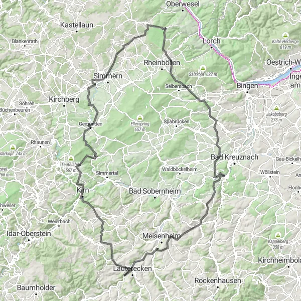
Lauterecken and Beyond
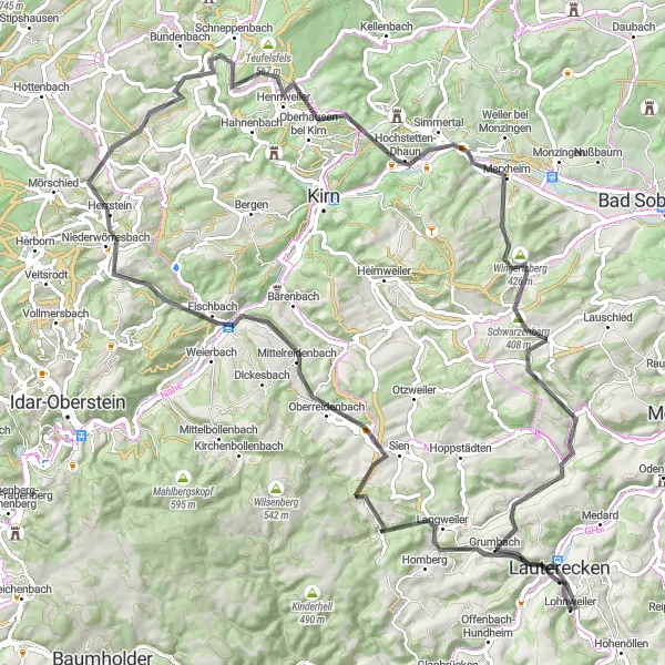
Explore the charming towns of Lauterecken and Herrstein as you cycle through stunning landscapes.
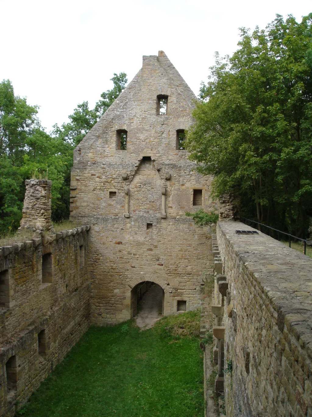
This road cycling route takes you on a journey through picturesque towns and beautiful countryside. Start in Lauterecken and pass through Herrstein, known for its well-preserved medieval architecture. As you pedal along, you'll encounter the Wehlenstein, a striking rock formation, and the Hochstetten-Dhaun castle ruins. Don't miss the opportunity to visit Martinstein, a small village with a fascinating history. The route ends in Jeckenbach, where you can take a moment to appreciate the peaceful countryside before heading back to Lauterecken.
Cycling routes nearby:

Nearby regions: