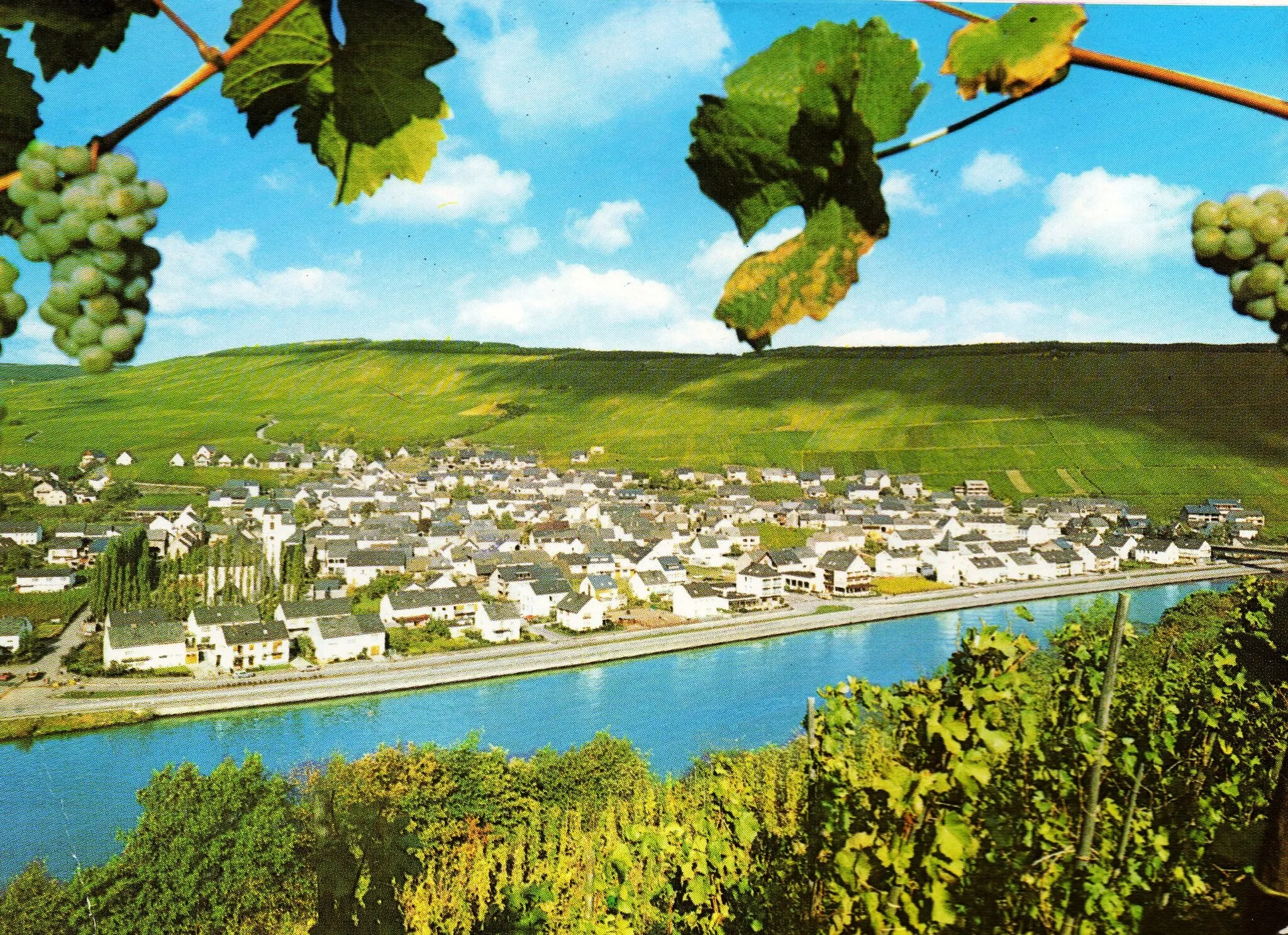
Cycling through the scenic countryside of Rödersheim-Gronau.
Cycling routes from Rodersheim-Gronau
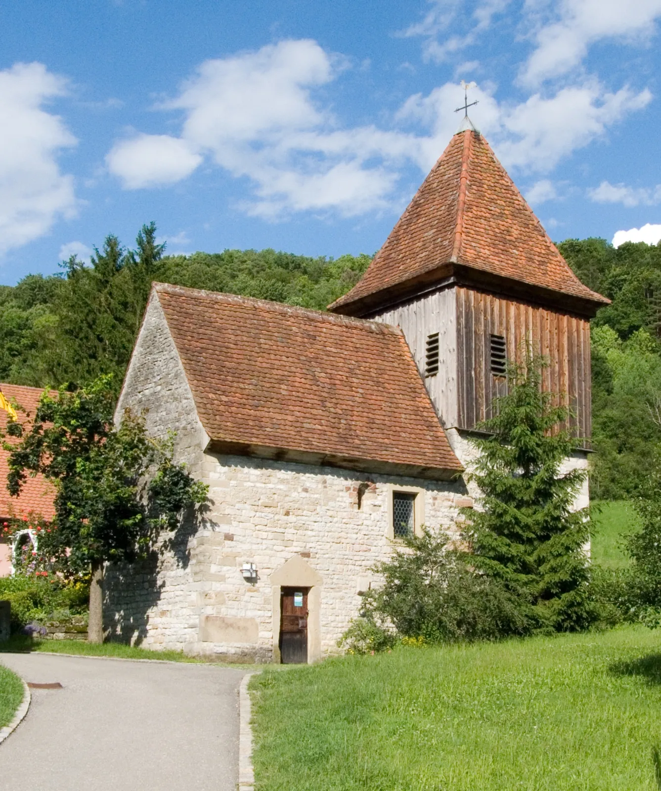
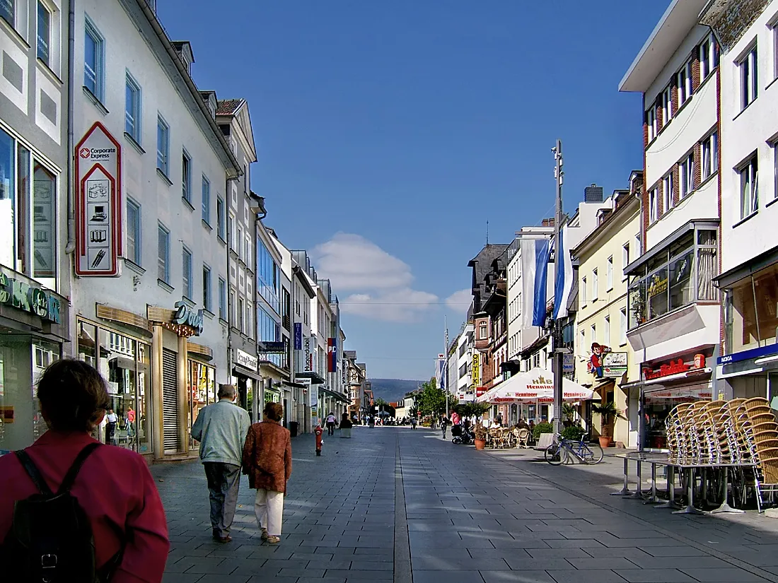
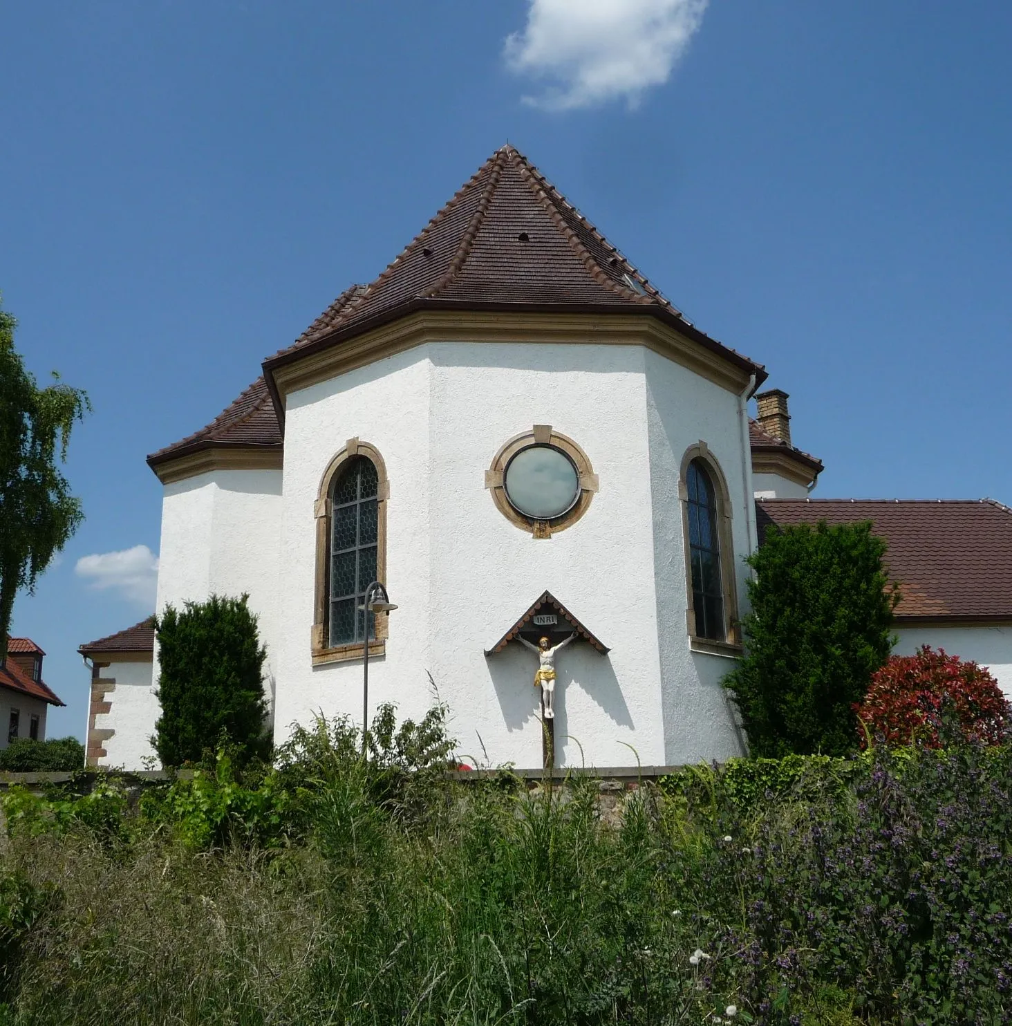
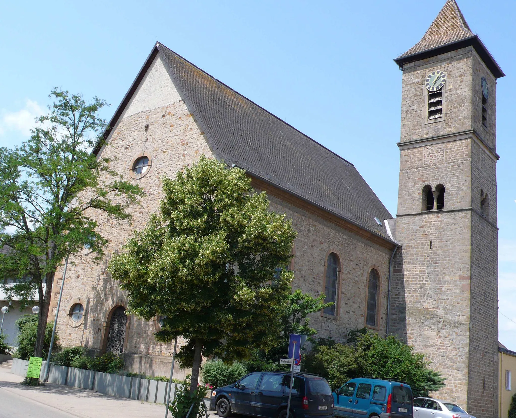
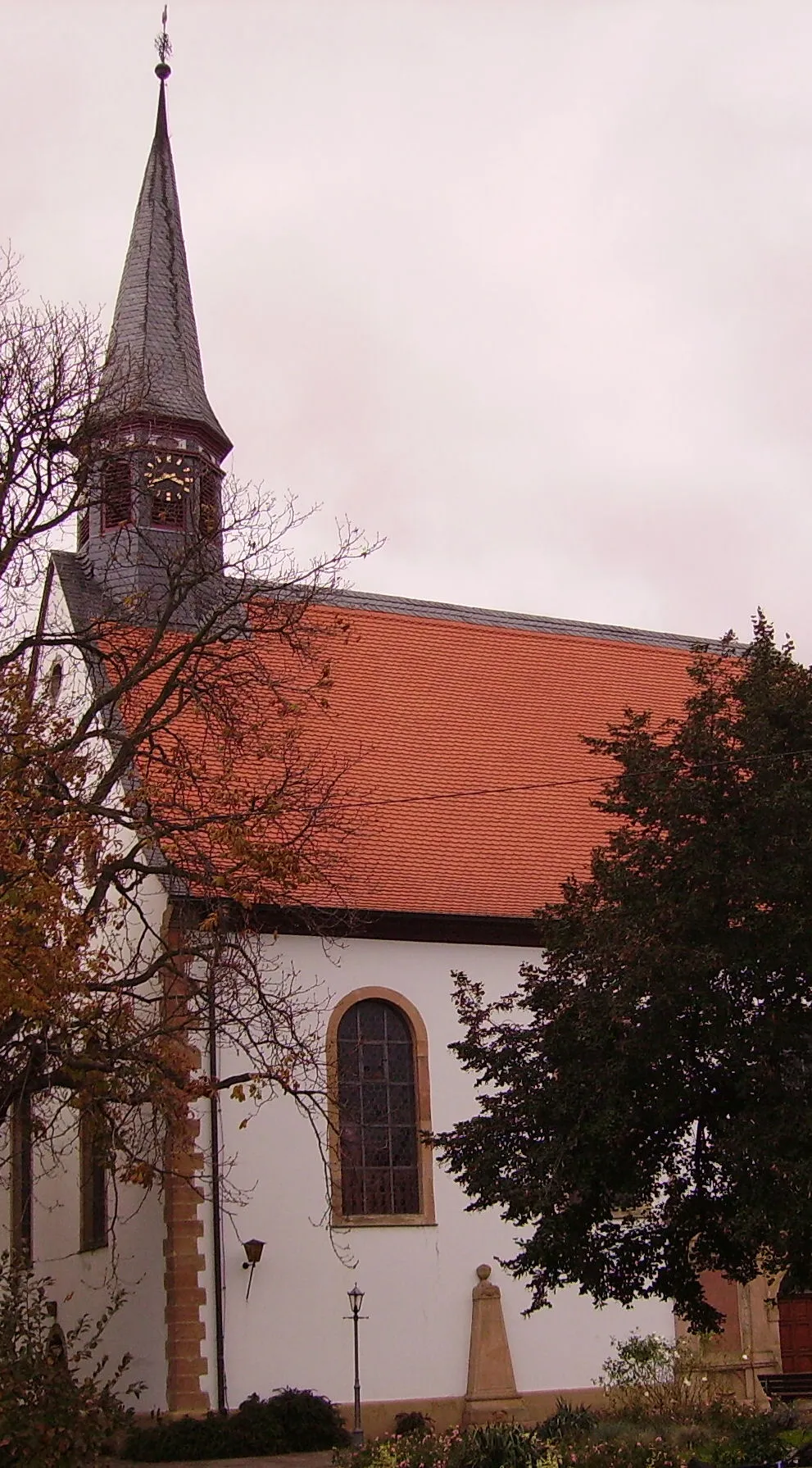
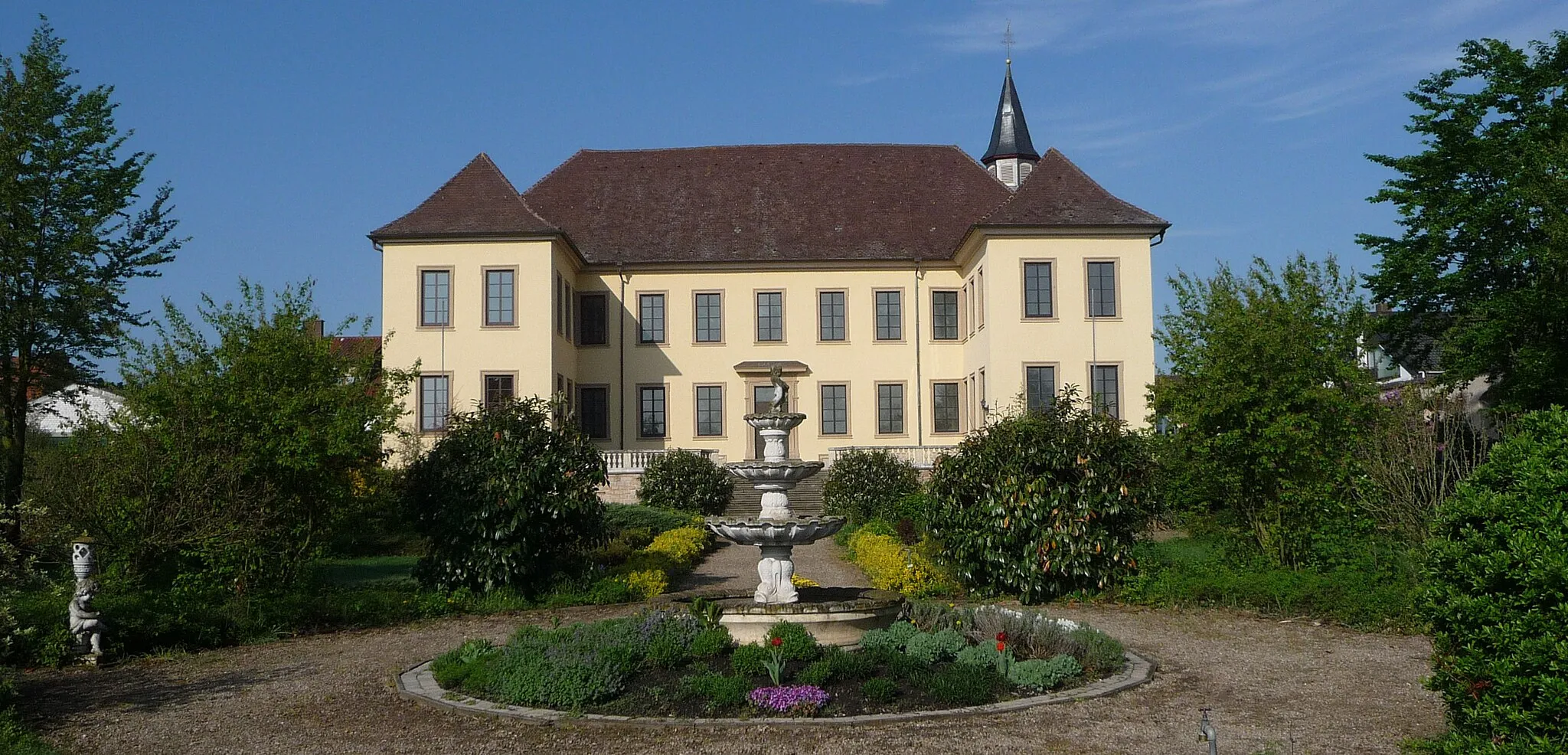
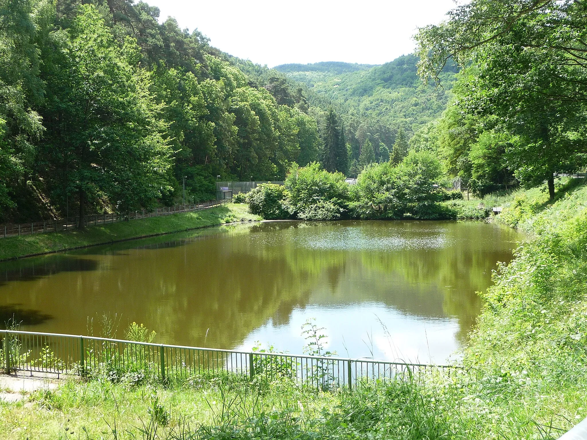
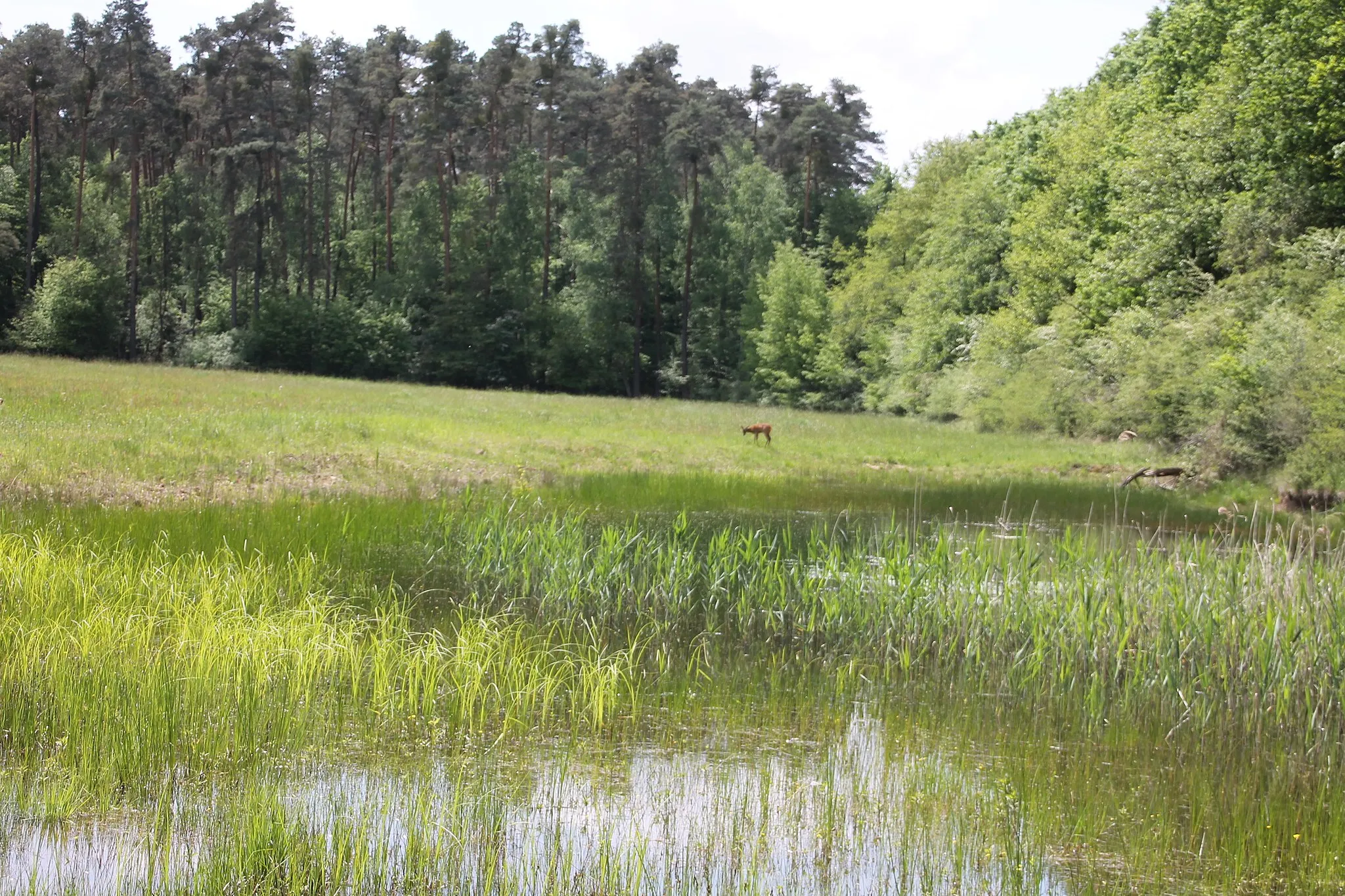
Rödersheim-Gronau is a small town located in Rheinhessen-Pfalz, Germany. From a cyclist's perspective, it offers some scenic routes through the picturesque countryside. The roads are generally well-maintained and suitable for road cycling. Nearby, you can find the famous climb of Hochstein, which is popular among cyclists. Overall, Rödersheim-Gronau is a decent locality for cycling, but it doesn't offer any extraordinary features.

Experience the picturesque countryside of Rheinhessen-Pfalz
This round-trip cycling route starting from Rödersheim-Gronau takes you through the beautiful landscapes of Rheinhessen-Pfalz in Germany. With a total distance of 61 kilometers and an ascent of 69 meters, this gravel route is suitable for amateur cyclists looking for a scenic adventure.

Explore the picturesque beauty of Rheinhessen-Pfalz on this road cycling route
This road cycling route covers 125 kilometers with an elevation gain of 1219 meters. It takes you through the stunning landscapes of Rheinhessen-Pfalz, showcasing charming towns and scenic countryside. Along the way, you will pass through Neustadt an der Weinstraße, Bergstein, Neidenfels, Eulenberg, Otterberg, Heiligenmoschel, Dreisen, Eisenberg (Pfalz), Brunholdisstuhl, and Friedelsheim. The route is suitable for well-trained amateur cyclists who enjoy longer rides and varied terrain.
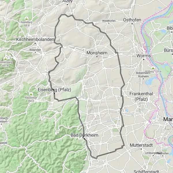
Discover the rich history of Rheinhessen-Pfalz on this cycling route
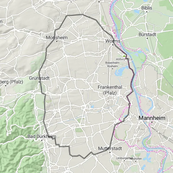
This route covers a distance of 82 kilometers with a moderate elevation gain. It takes you on a historical journey through Rheinhessen-Pfalz, showcasing charming towns and significant landmarks. Along the way, you will pass through Kirchheim an der Weinstraße, Gundheim, Worms, Müllberg, and Mutterstadt. The route is suitable for cyclists who enjoy exploring historical sites and cultural heritage.
A thrilling adventure on gravel roads in Rheinhessen-Pfalz.
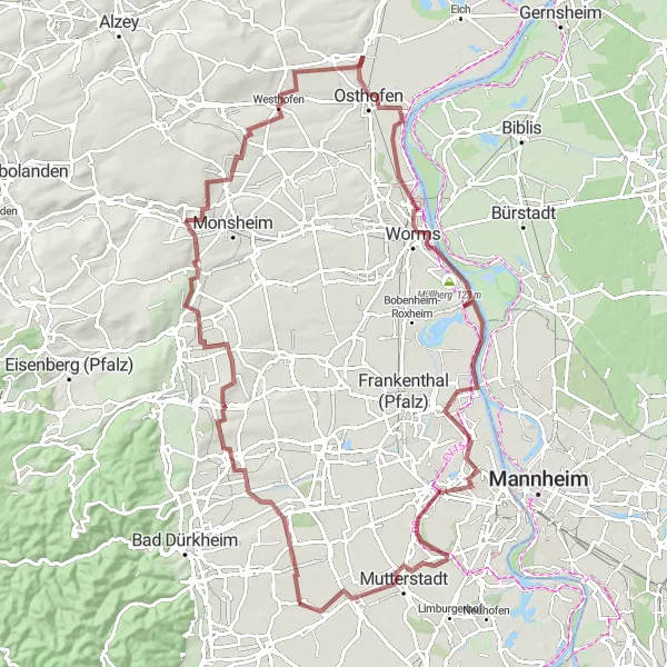
Get off the beaten path and embark on a gravel adventure through the picturesque Rheinhessen-Pfalz region in Germany. This round-trip route starts from Rödersheim-Gronau and covers a distance of 107 kilometers with an ascent of 540 meters. The gravel roads offer a mix of challenging terrain and beautiful landscapes, providing a thrilling and memorable cycling experience. With a difficulty rating of 4, this route is suitable for experienced gravel cyclists. It has an epicness rating of 4, as it offers a unique and adventurous journey through the German countryside.
Cycle through the picturesque countryside of Rheinhessen-Pfalz
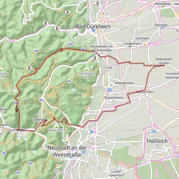
This route takes you on a journey through the beautiful region of Rheinhessen-Pfalz, known for its vineyards and charming villages. With a total distance of 49 kilometers and an elevation gain of 875 meters, it is suitable for experienced cyclists. Expect to encounter rolling hills and stunning views along the way. The route passes through Meckenheim, Erlenberg, Lambrecht, Dicker-Stein-Turm, Bergfried, and Wachenheim an der Weinstraße.

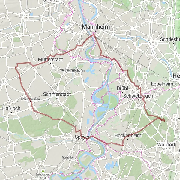
A leisurely ride through the scenic surroundings of Rödersheim-Gronau
This leisurely route covers a distance of 40 kilometers with minimal elevation gain. It takes you on a scenic tour around Rödersheim-Gronau, allowing you to enjoy the beautiful countryside and quaint villages. Along the route, you will pass through Fußgönheim, Mannheim, Michaelsberg, and Mutterstadt. This route is suitable for cyclists of all levels, whether you're a beginner or an experienced rider looking for a relaxed ride.
Rheinhessen-Pfalz Gravel Escape
Escape into nature with this scenic gravel route.
Escape the hustle and bustle of everyday life and immerse yourself in nature with this scenic gravel route in the Rheinhessen-Pfalz region. Starting from Rödersheim-Gronau, this round-trip route covers a distance of 85 kilometers and involves an ascent of 171 meters, making it suitable for cyclists of all levels. The highlight of this route is the visit to Ludwigshafen am Rhein, a vibrant city located on the banks of the Rhine River. With a difficulty rating of 1, this route is easy and enjoyable for all cyclists. In terms of epicness, it is rated 3, as it provides a beautiful cycling experience but does not feature any legendary climbs or famous spots.
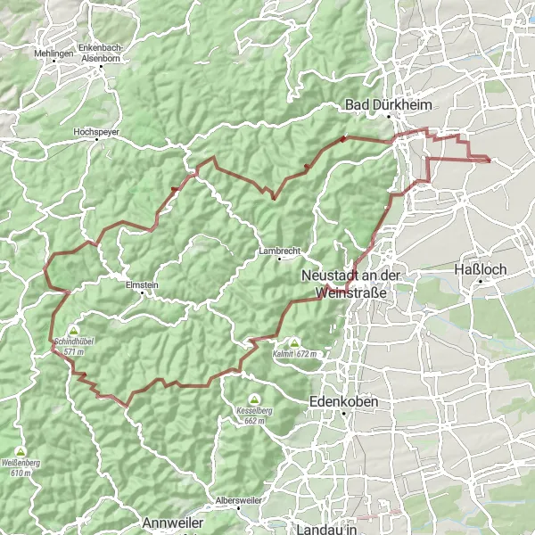
Conquer challenging climbs while enjoying scenic vineyards
This challenging route covers a distance of 104 kilometers with an elevation gain of 1777 meters. It takes you through the hilly landscape of Rheinhessen-Pfalz, showcasing picturesque vineyards and stunning views. Along the route, you will pass through Neustadt an der Weinstraße, Bergstein, Platte, Schänzelturm, Eschkopf, Speyerbrunn, Hohe Kopf, Plankenberg, and Wachenheim an der Weinstraße. The route is suitable for experienced cyclists who enjoy a mix of climbs and beautiful scenery.
Rödersheim-Gronau - Nordring
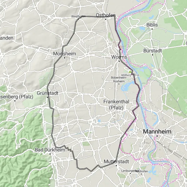
Traverse beautiful Rheinhessen-Pfalz region and visit Heuchelheim bei Frankenthal.
This round-trip cycling route takes you through the picturesque Rheinhessen-Pfalz region in Germany. Starting from Rödersheim-Gronau, you will traverse the scenic countryside, passing by quaint villages and vineyards. The highlight of this route is the visit to Heuchelheim bei Frankenthal, where you can explore the charming town and enjoy the hospitality of the locals. With a distance of 101 kilometers and an ascent of 822 meters, this route offers a moderate challenge for well-trained amateur cyclists. The epicness of this route is rated 3, as it provides a great cycling experience but does not feature any legendary climbs or famous spots.
Rödersheim-Gronau - Südring
Cycling through the beautiful landscapes of Rheinhessen-Pfalz in southern direction.
Embark on a cycling adventure through the southern part of the Rheinhessen-Pfalz region, starting from Rödersheim-Gronau. This round-trip route covers a distance of 90 kilometers and involves an ascent of 382 meters, making it suitable for well-trained amateur cyclists. The highlight of this route is the visit to Worms, a historic city famous for its impressive cathedral and medieval architecture. With a difficulty rating of 2, this route offers a moderate challenge. In terms of epicness, it is rated 3, as it provides a beautiful cycling experience but does not feature any legendary climbs or famous spots.
Cycling routes nearby:

Nearby regions: