A peaceful cycling experience in Saxony-Anhalt
Cycling routes from Neinstedt
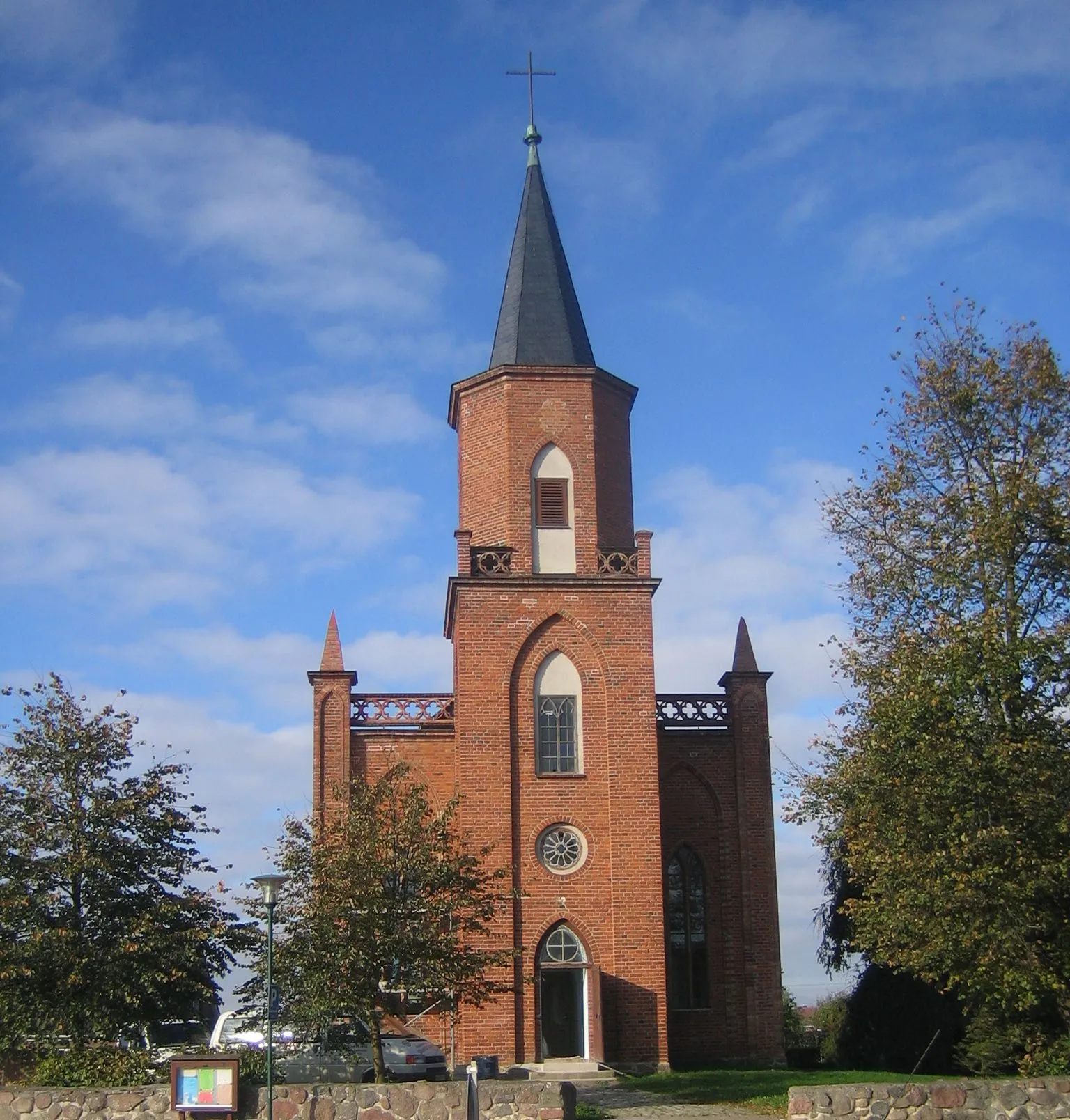
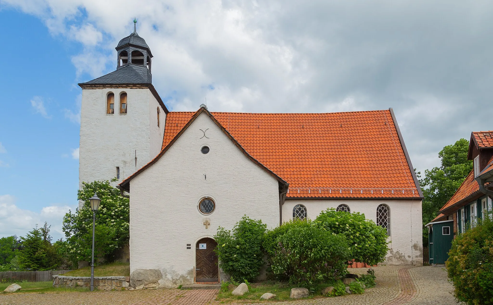
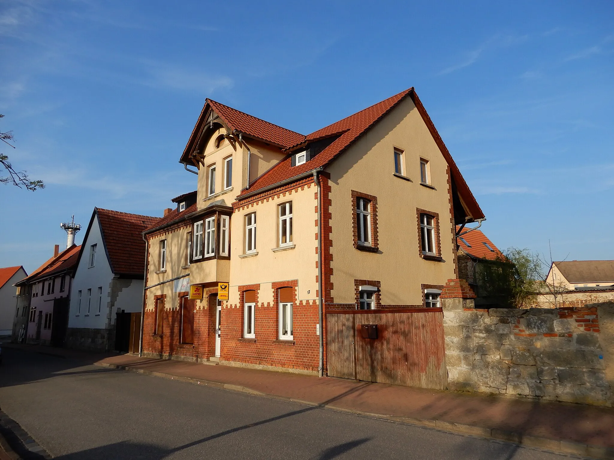
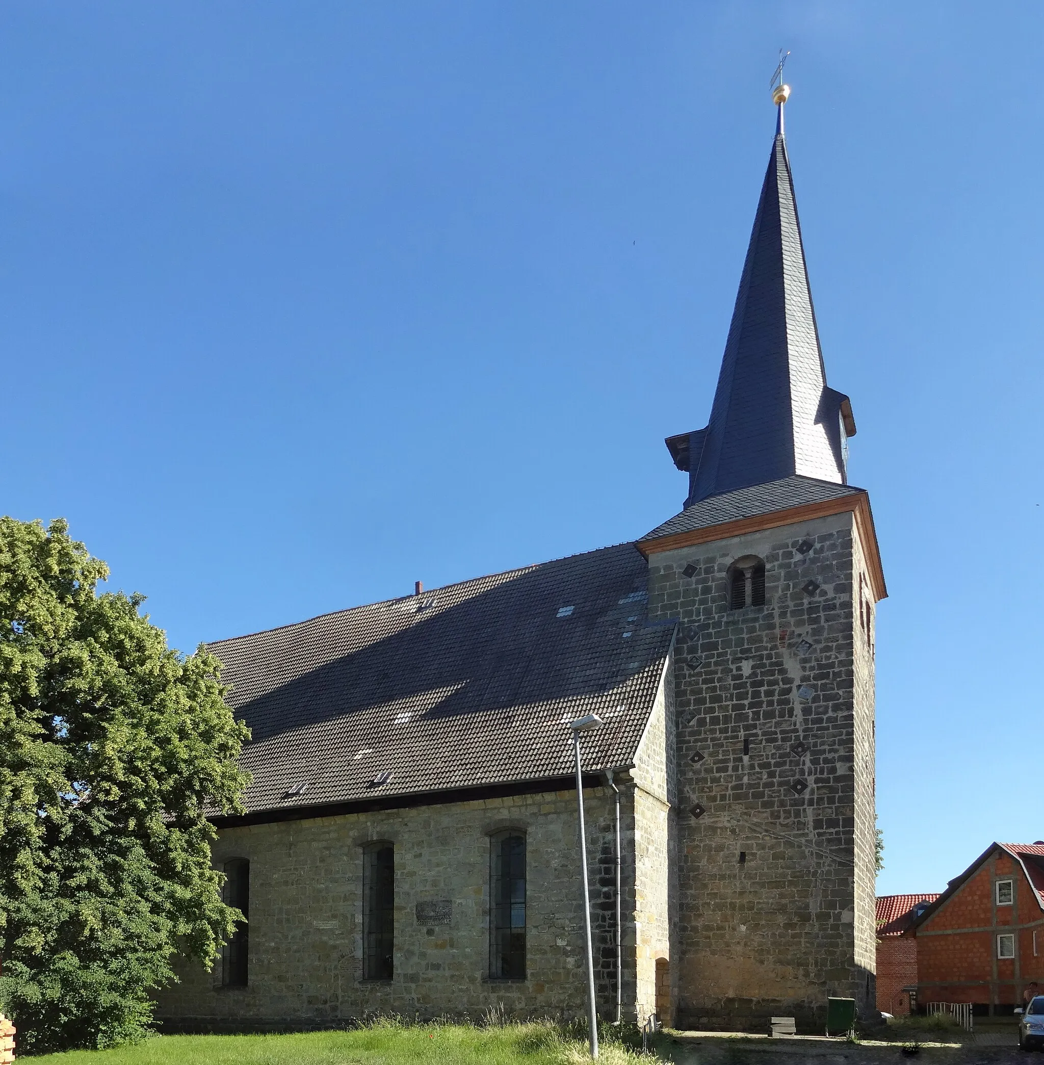
Neinstedt is a small locality located in Saxony-Anhalt, Germany. It offers a mix of road and gravel cycling routes, making it suitable for both types of cyclists. The region has rolling hills and quiet roads, providing a peaceful and scenic cycling experience. One of the well-known cycling spots nearby is the Harz Mountains, which offers challenging climbs for advanced cyclists. Neinstedt itself has some beautiful countryside roads that are perfect for leisurely rides. Overall, Neinstedt is a cycling-friendly area with diverse routes and picturesque landscapes.
Explore the picturesque landscapes of Sachsen-Anhalt on this gravel route.
This gravel route takes you through the stunning landscapes of Sachsen-Anhalt, with highlights including the beautiful town of Stecklenberg and the scenic views from Wilhelmsblick. The route has a total ascent of 1,439 meters and covers a distance of 81 kilometers. It is suitable for experienced riders who enjoy off-road cycling.
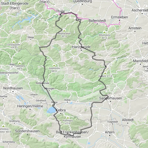
Embark on an epic road cycling adventure from Olbergshöhe to Stadt Güntersberge.
This challenging road cycling route takes you on an epic adventure through the diverse landscapes of Sachsen-Anhalt. With a total ascent of 1,801 meters and a distance of 148 kilometers, this route is recommended for experienced riders. Explore highlights such as the famous Mägdetrappe staircase and the historic town of Bad Frankenhausen/Kyffhäuser.
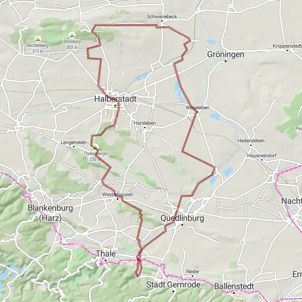
Embark on a gravel adventure from Westerhausen to Stecklenburg.
Experience the thrill of gravel cycling on this adventurous route from Westerhausen to Stecklenburg. With a total ascent of 577 meters and a distance of 81 kilometers, this route is suitable for gravel enthusiasts. Be captivated by highlights such as the charming town of Halberstadt and the picturesque Schwanebeck village.
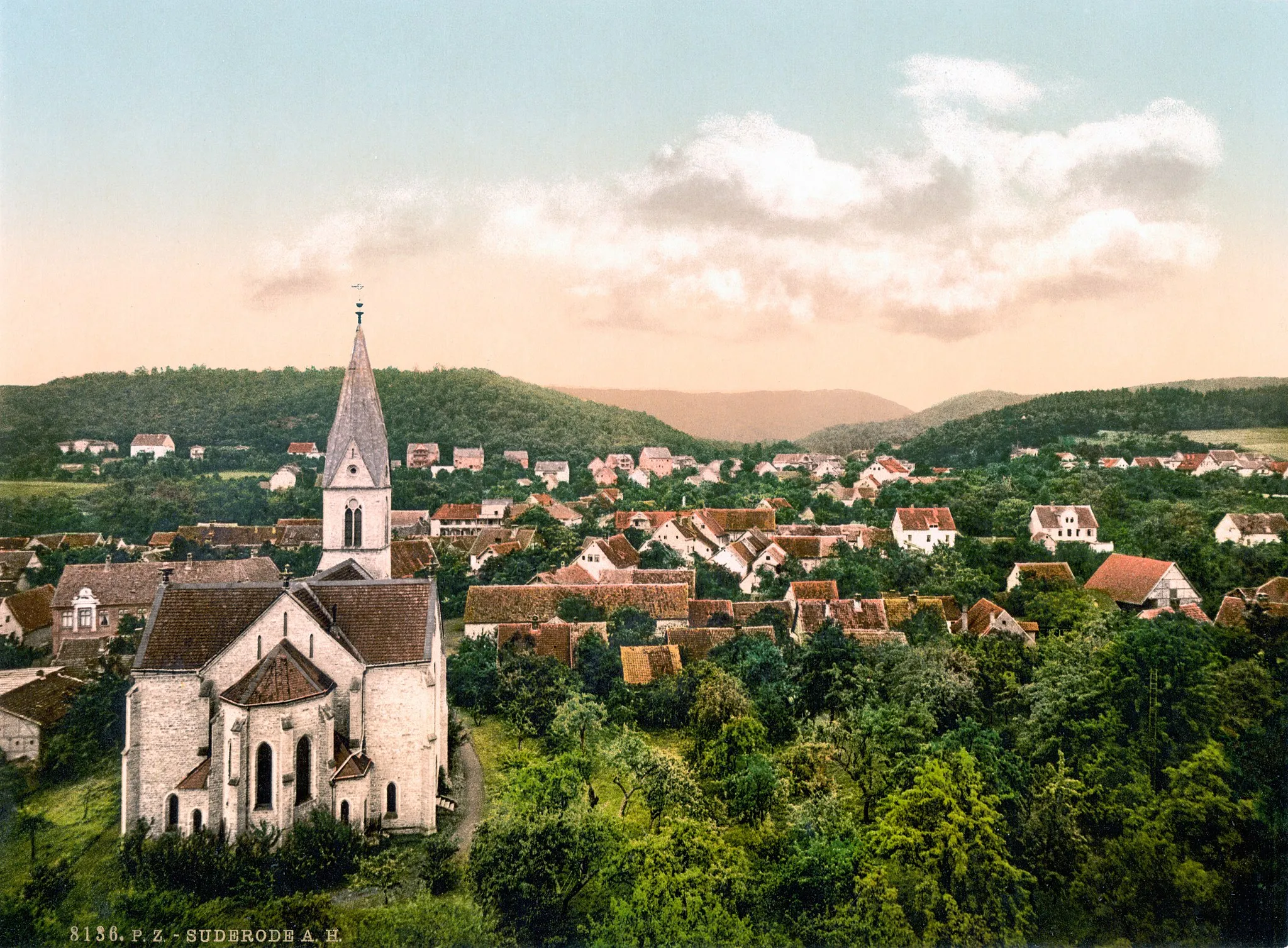
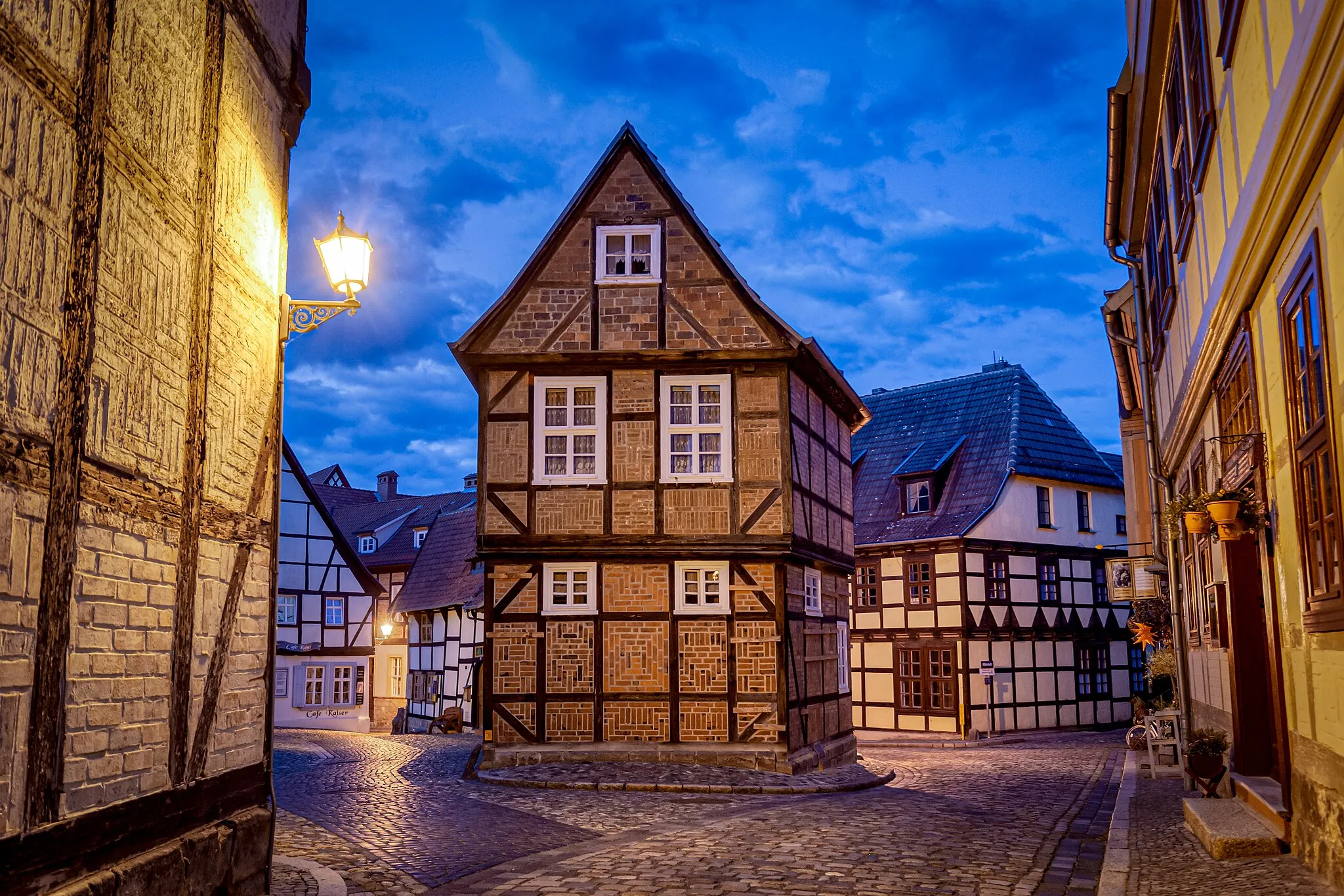
Embark on a scenic road cycling adventure from Münzenberg to Stadt Gernrode.
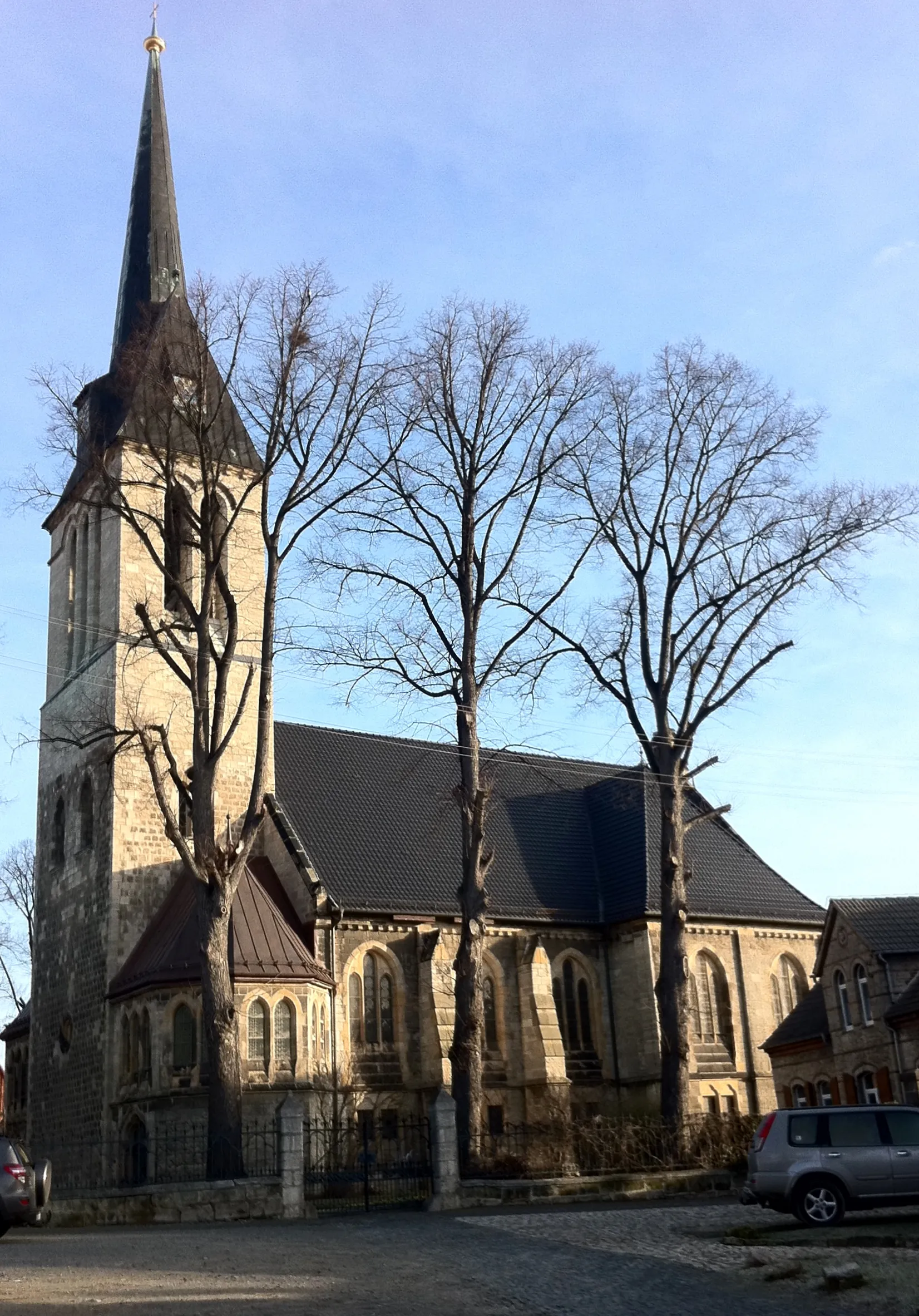
This road cycling route takes you through the scenic countryside of Sachsen-Anhalt, from Münzenberg to Stadt Gernrode. With a total ascent of 447 meters and a distance of 96 kilometers, this route is recommended for intermediate riders. Explore highlights such as the historical town of Quedlinburg and the charming village of Ditfurt.
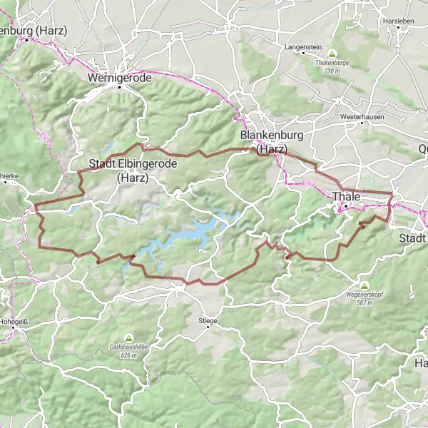
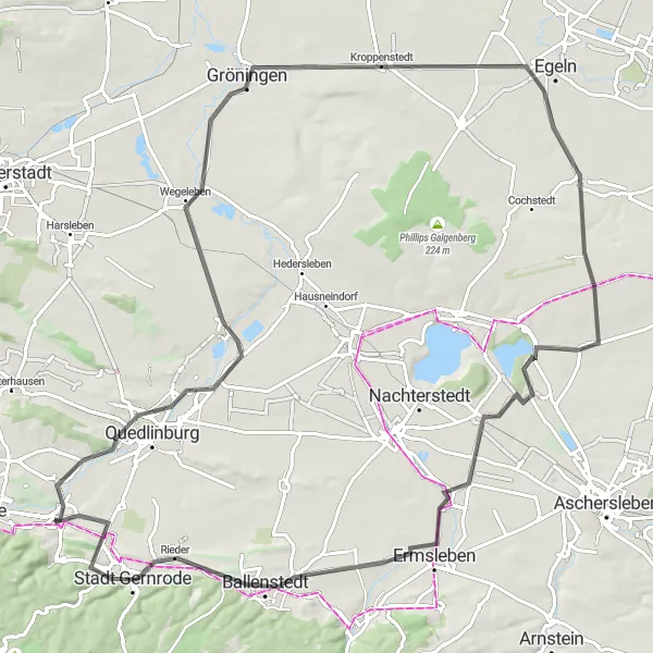
Conquering the road climbs near Neinstedt
This road cycling route near Neinstedt offers a challenging experience for well-trained amateur cyclists. With a distance of 145 kilometers and an ascent of 2284 meters, it demands endurance and stamina. The highlights of this route include Hexentanzplatz, Friedrichsbrunn, Stiege, Leckenkopf, Rauhe Höhe, Hohegeiß, Sankt Andreasberg, Matthias-Schmidt-Berg, Großer Burgberg, Bad Harzburg, Zehn Berg, Wernigerode, Struvenberg, and Thale. From mythical places to breathtaking vistas, this route embraces the beauty of nature and provides an epic cycling adventure.
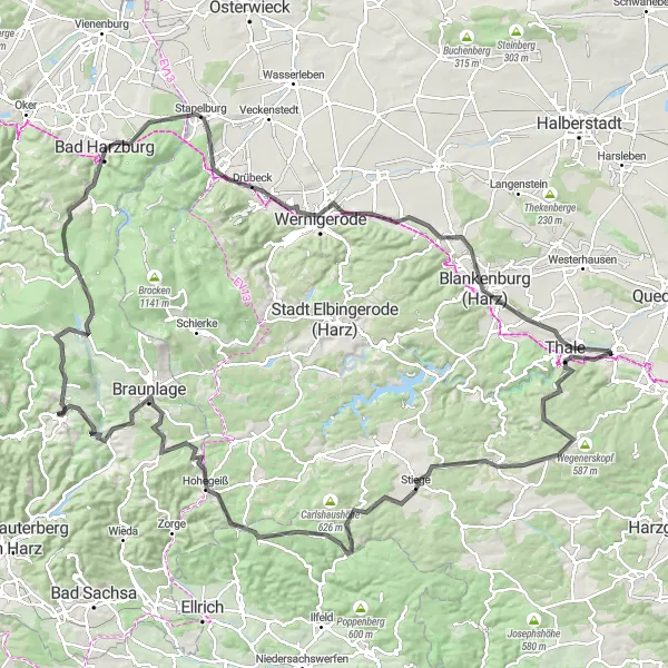
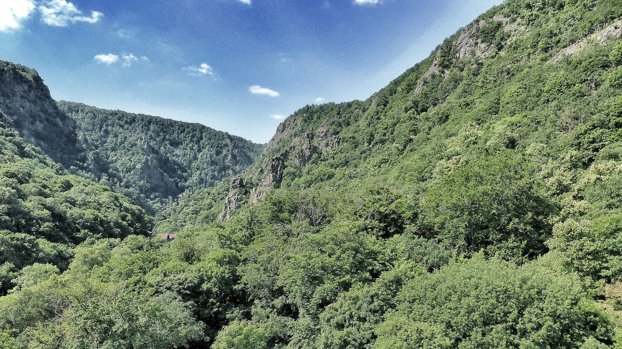
Harz Highlights

A scenic and challenging road cycling route through the Harz region
This round-trip cycling route is a must for road cycling enthusiasts looking to experience the stunning landscapes and challenging climbs of the Harz region in Sachsen-Anhalt, Germany. With a total distance of 108 km and an ascent of 1653 m, this route offers a rewarding cycling experience for well-trained amateur cyclists. The route passes through picturesque towns and villages, as well as several iconic highlights along the way.

Gravel adventures near Neinstedt
With a distance of 46 kilometers and an ascent of 300 meters, this gravel route near Neinstedt provides a mix of moderate challenges and beautiful scenery. Explore the highlights of Münchenhof, Zwieberge, Ditfurt, Quedlinburg, Münzenberg, Neinstedt, and Teufelsmauer Königstein. From quaint villages to natural landmarks, this route offers a diverse and enriching cycling experience suitable for gravel enthusiasts.
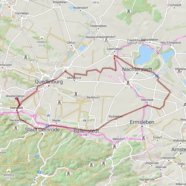
Embracing the gravel paths near Neinstedt
This gravel cycling route near Neinstedt covers a distance of 64 kilometers and an ascent of 265 meters. Experience the highlights of Münzenberg, Quedlinburg, Nachterstedt, Radisleben, Stadt Gernrode, Olbergshöhe, and Teufelsmauer Königstein. With picturesque landscapes and historic attractions, this route promises an enjoyable journey for gravel enthusiasts. Embrace the thrill of discovering lesser-known paths and immerse yourself in nature's beauty.
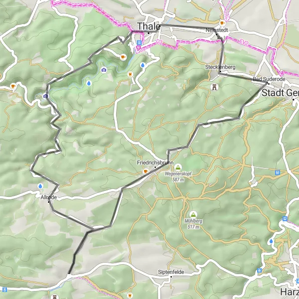
A road adventure with stunning highlights near Neinstedt
Covering 45 kilometers and an ascent of 770 meters, this road cycling route near Neinstedt offers a challenging experience with mesmerizing highlights. Explore Stecklenberg, Olbergshöhe, Friedrichsbrunn, Herzberg, Treseburg, Wilhelmsblick, Thale, and Teufelsmauer Königstein. This route is perfect for cyclists who seek natural beauty and historical sites along the way. With enchanting sights and a moderate difficulty level, it promises an unforgettable journey.
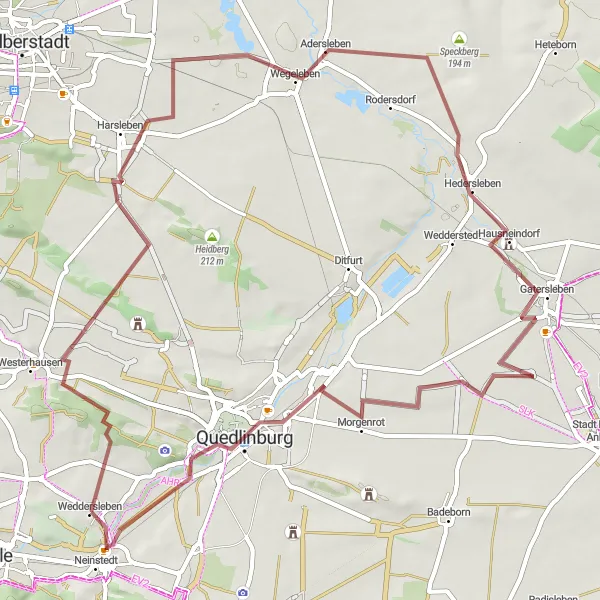
Exploring the gravel roads near Neinstedt
This route takes you on a gravel journey through the scenic surroundings of Neinstedt. With a total distance of 60 kilometers and an ascent of 252 meters, the ride offers a moderate challenge for amateur cyclists. The highlights along the way include Fisch-Berg, Zwieberge, Harsleben, Hedersleben, Morgenrot, Quedlinburg, Münzenberg, Teufelsmauer Königstein, and Neinstedt. With varying landscapes and charming villages, this route provides an enjoyable cycling experience.
Cycling routes nearby:

Nearby regions: