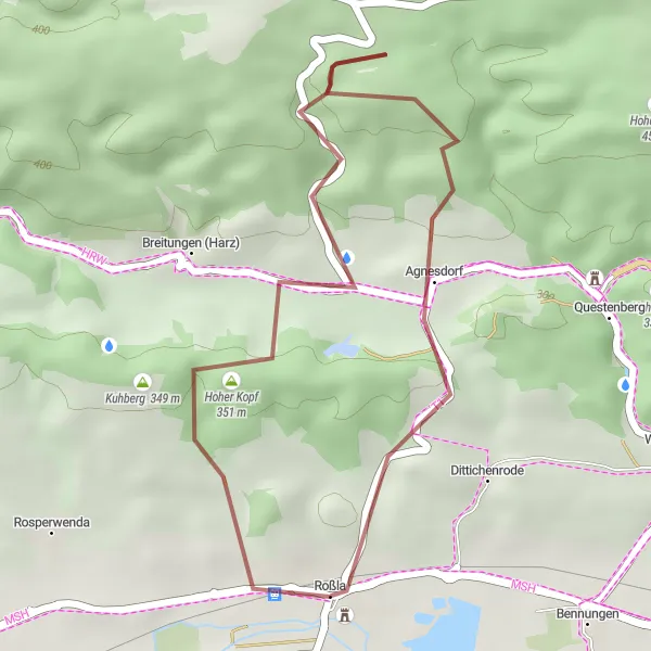
Picturesque Paradise with Smooth Roads and Challenging Climbs
Cycling routes from Rossla
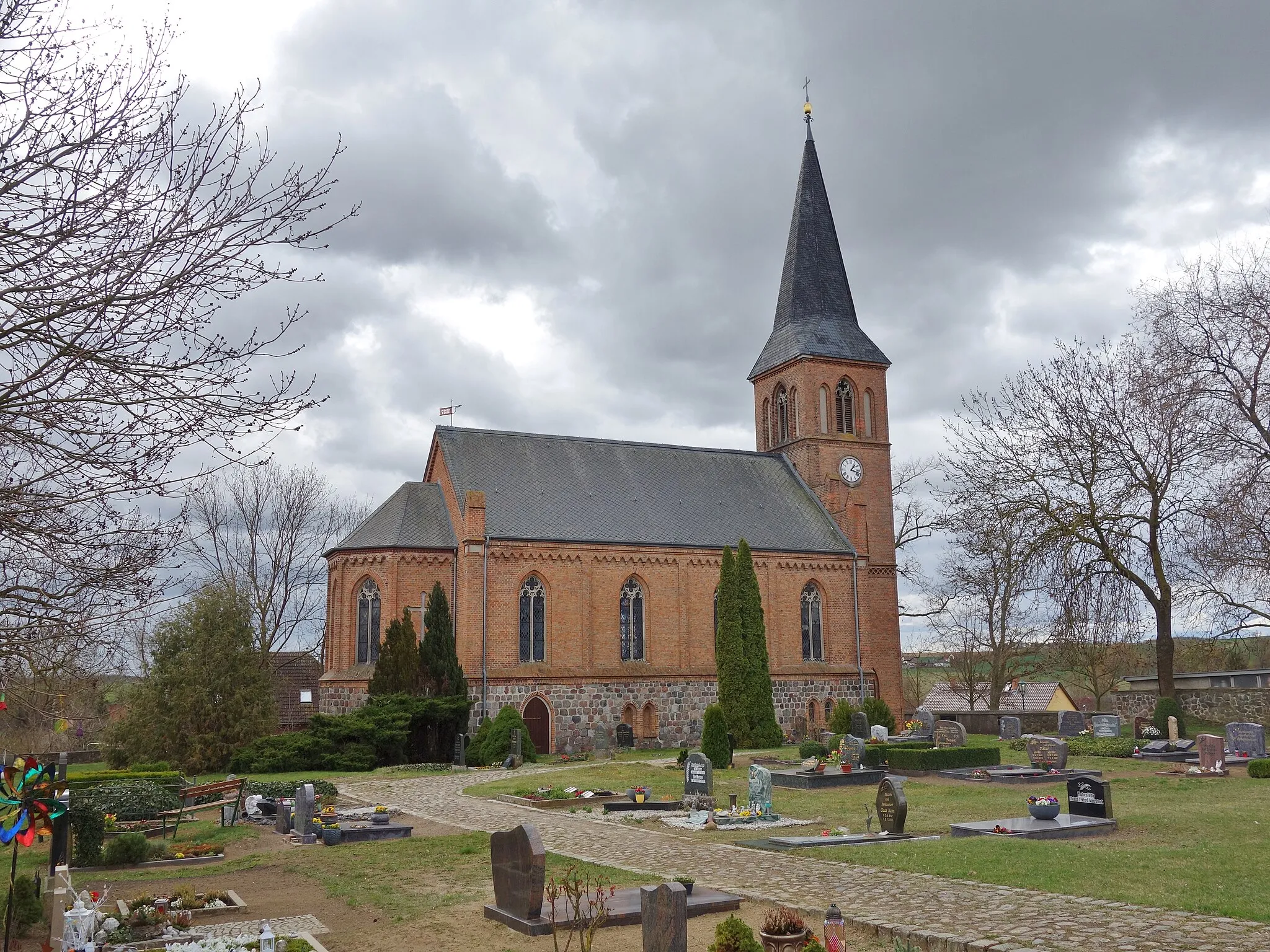
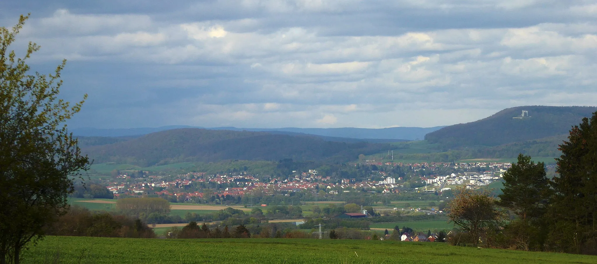
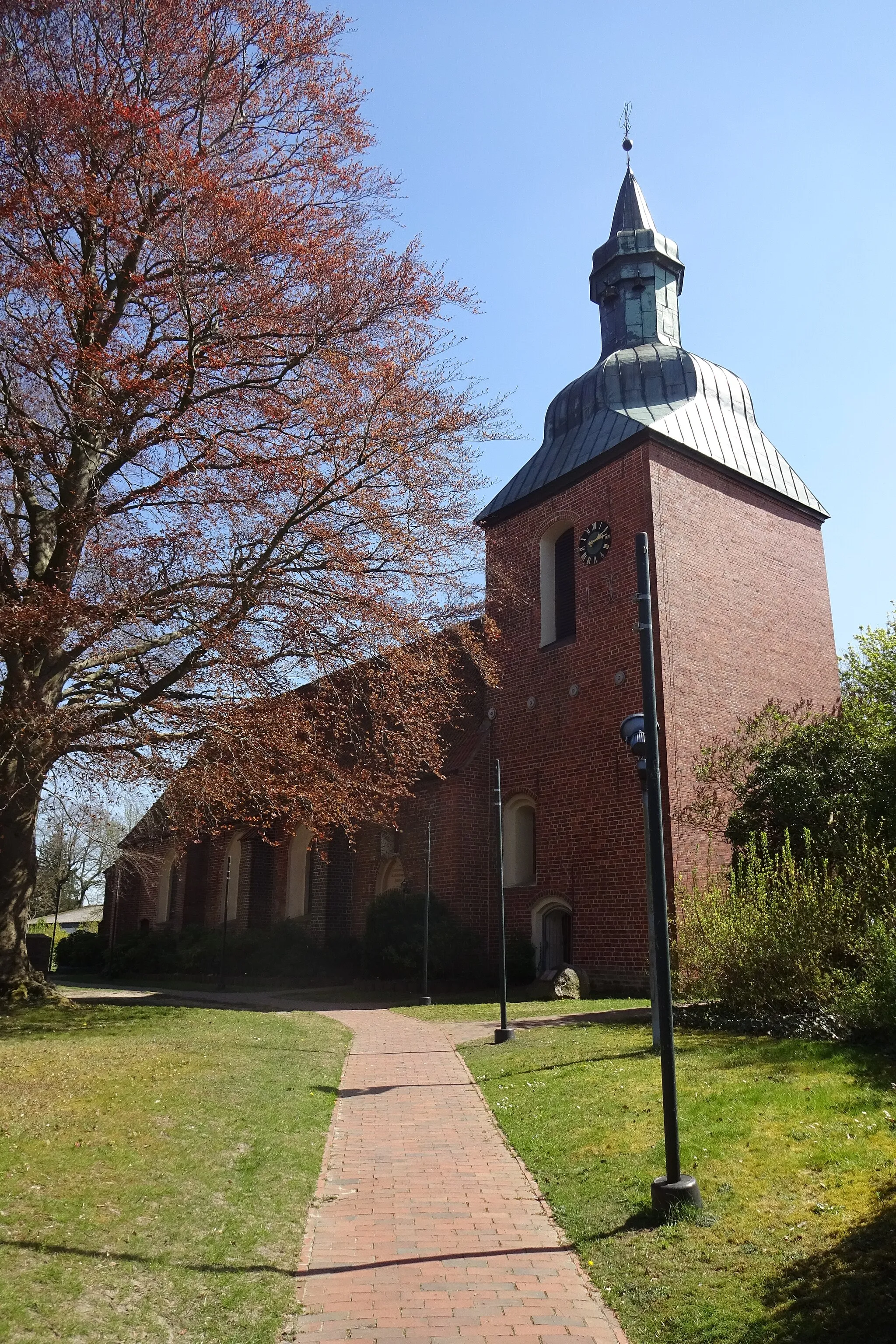
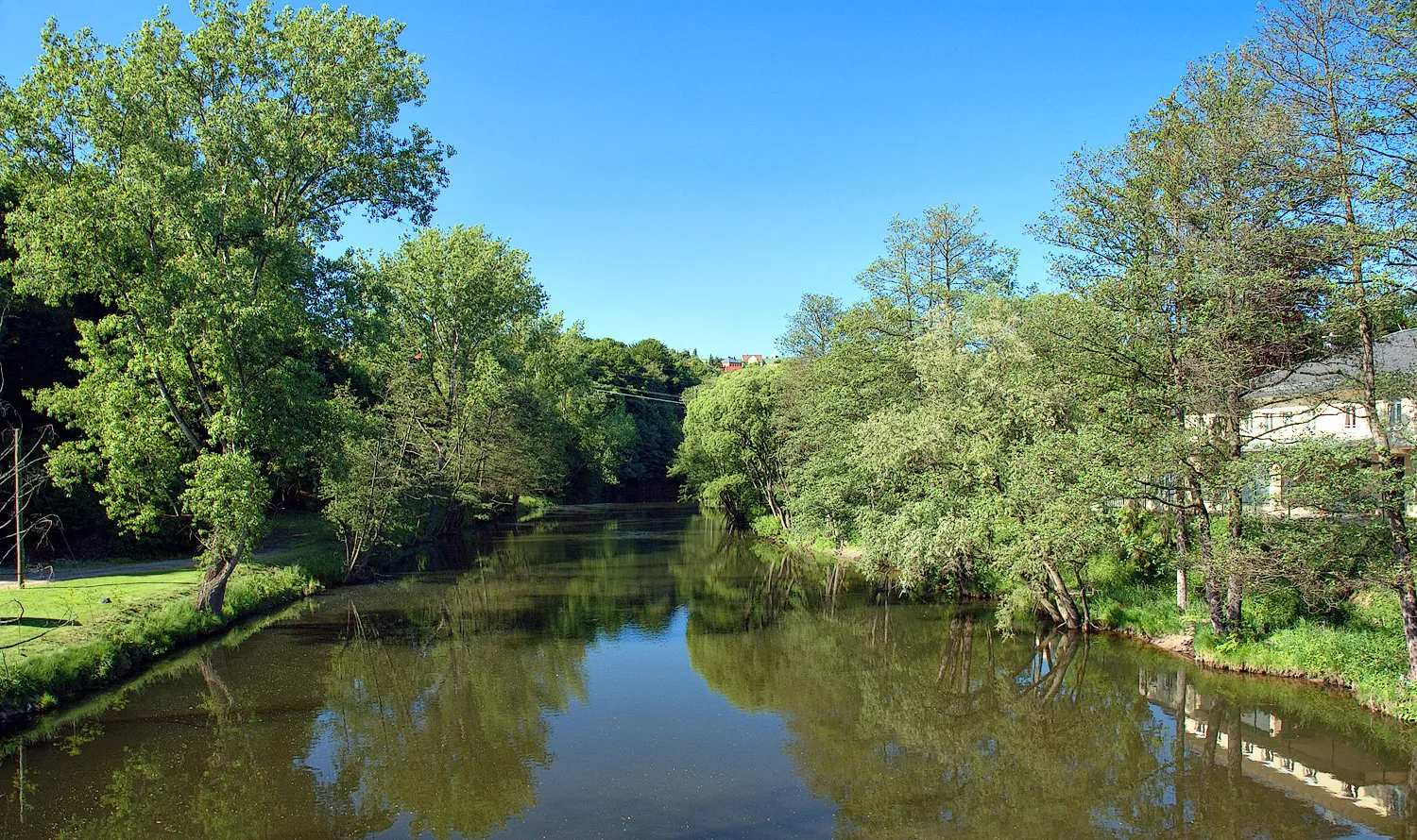
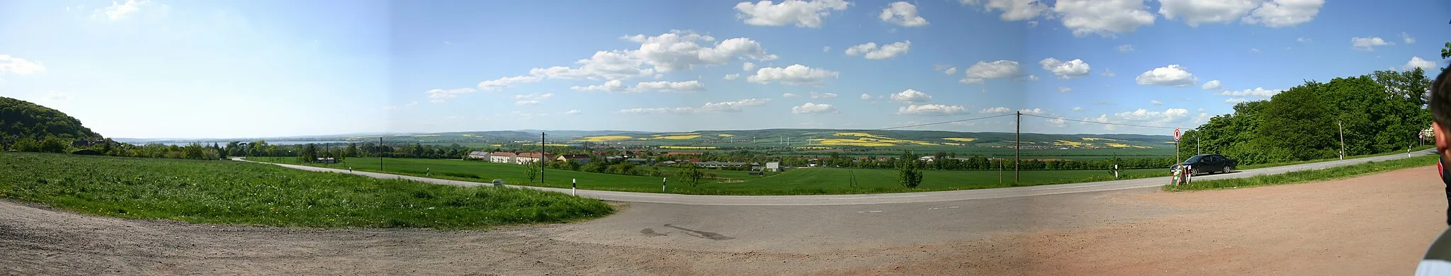
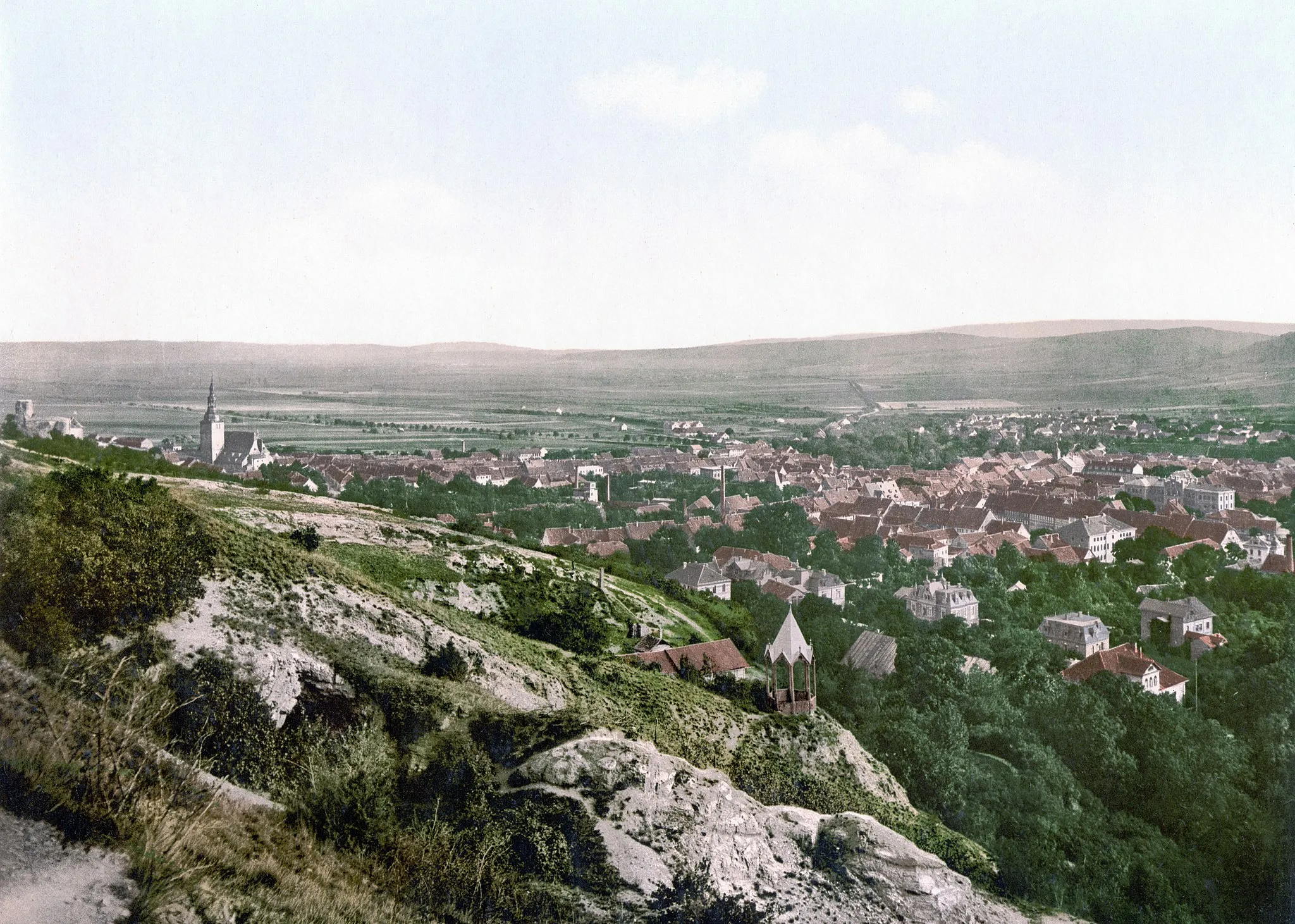
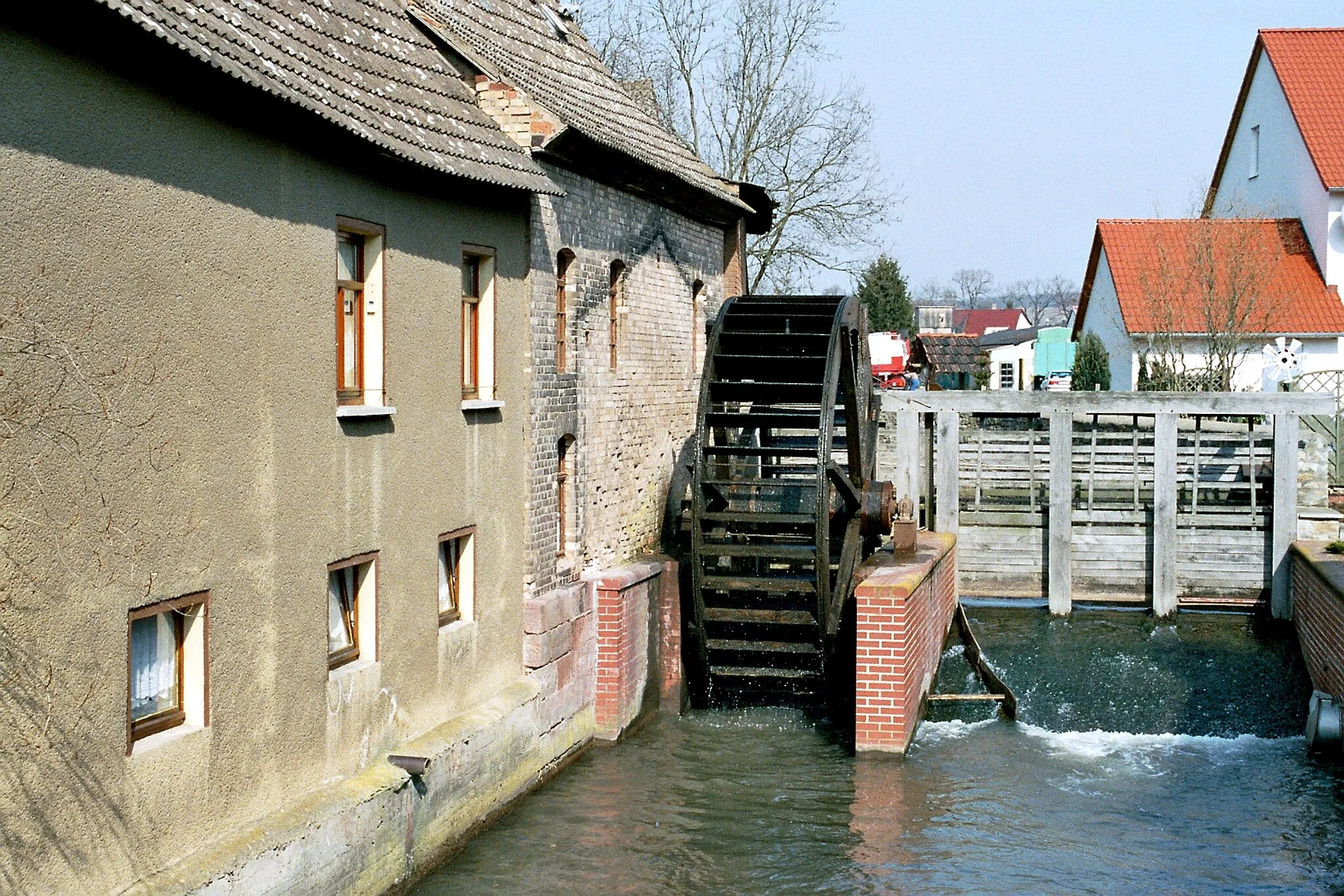
Roßla, located in Sachsen-Anhalt, Germany, is a cyclist's paradise nestled amidst picturesque landscapes. The locality offers a mix of smooth roads and challenging climbs, providing a rewarding experience for both road and gravel cyclists. Cyclists can enjoy panoramic views of the region as they pedal through idyllic countryside, passing charming villages along the way. Roßla is also known for its well-maintained gravel trails that wind through forests and meadows, offering an opportunity to connect with nature. With its beautiful scenery and cycling-friendly atmosphere, Roßla is a delightful destination for cyclists seeking tranquility and adventure.
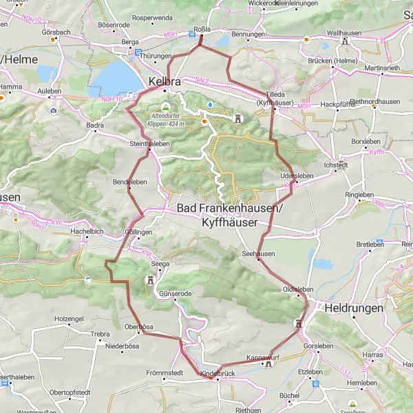
Haardt Loop
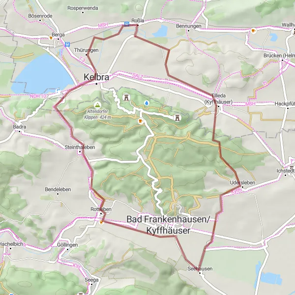
A scenic gravel route through picturesque landscapes near Roßla
The Haardt Loop is a 45 km gravel cycling route that takes you through some of the most picturesque landscapes near Roßla in Sachsen-Anhalt, Germany. This route is perfect for gravel enthusiasts looking for a cycling adventure with beautiful scenery along the way. With a total ascent of 443 meters, riders will experience some challenging climbs and breathtaking views. The route highlights include the historic town of Tilleda, the charming village of Bad Frankenhausen/Kyffhäuser, and the impressive Roßberg, offering panoramic views of the surrounding area. Overall, the Haardt Loop guarantees a memorable cycling experience for every gravel enthusiast.

Immerse yourself in the scenic beauty of South Harz with this gravel route
Embark on a scenic gravel ride through the breathtaking landscapes of Südharz. This route spans a distance of 71 kilometers and includes a total ascent of 319 meters, making it ideal for gravel cyclists of all skill levels who appreciate stunning natural scenery.
Embark on a challenging 84 km road cycling adventure through Kyffhäuser
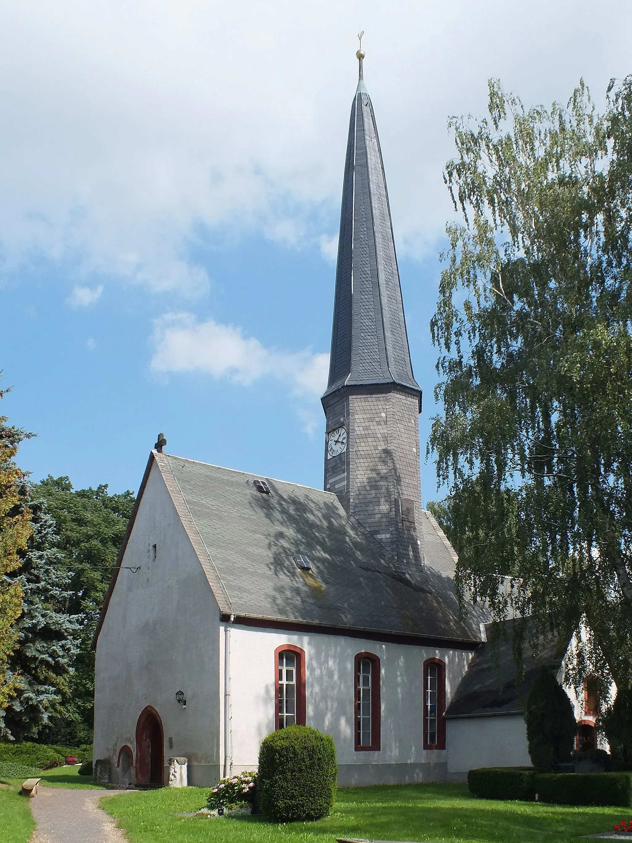
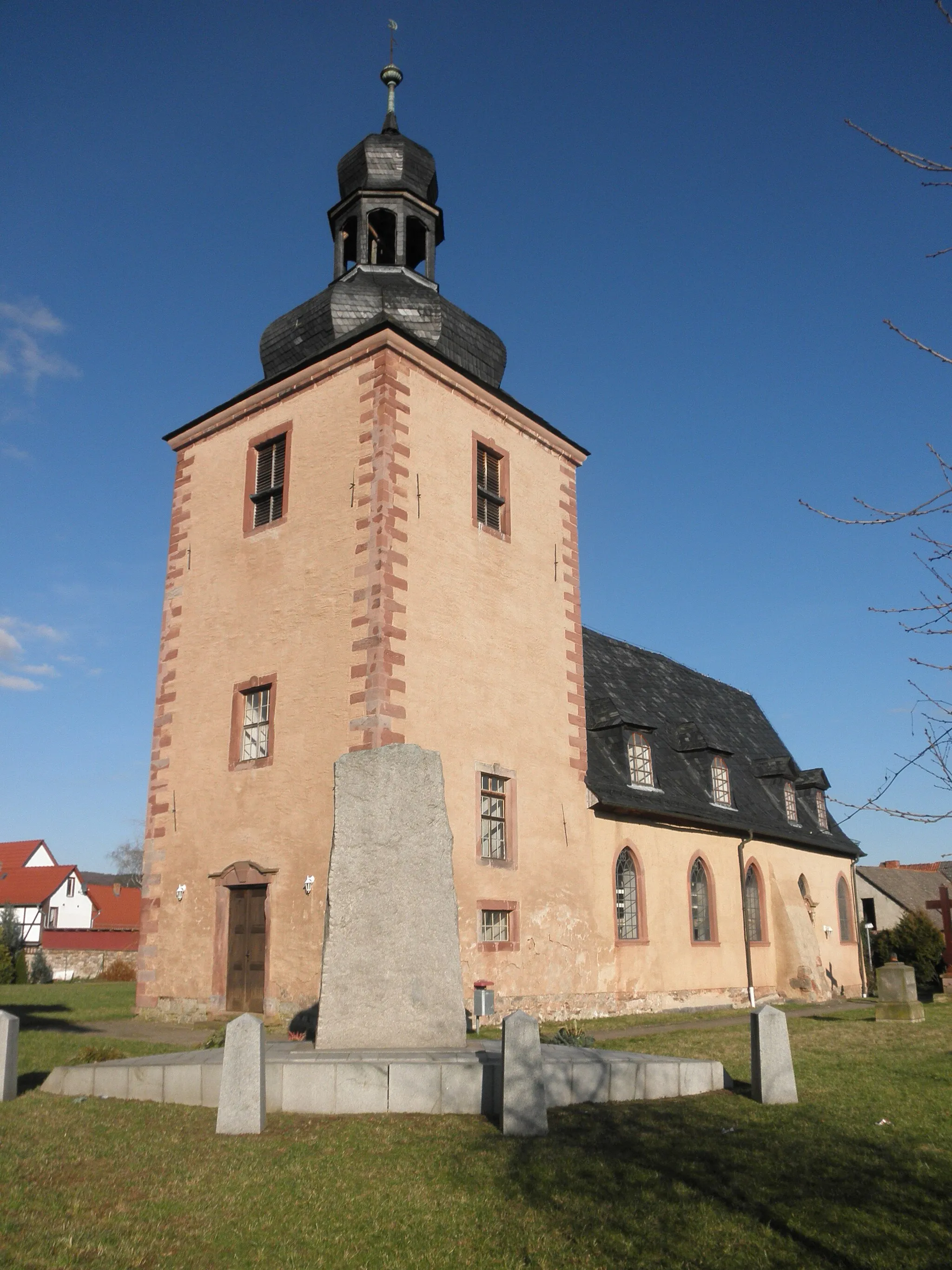
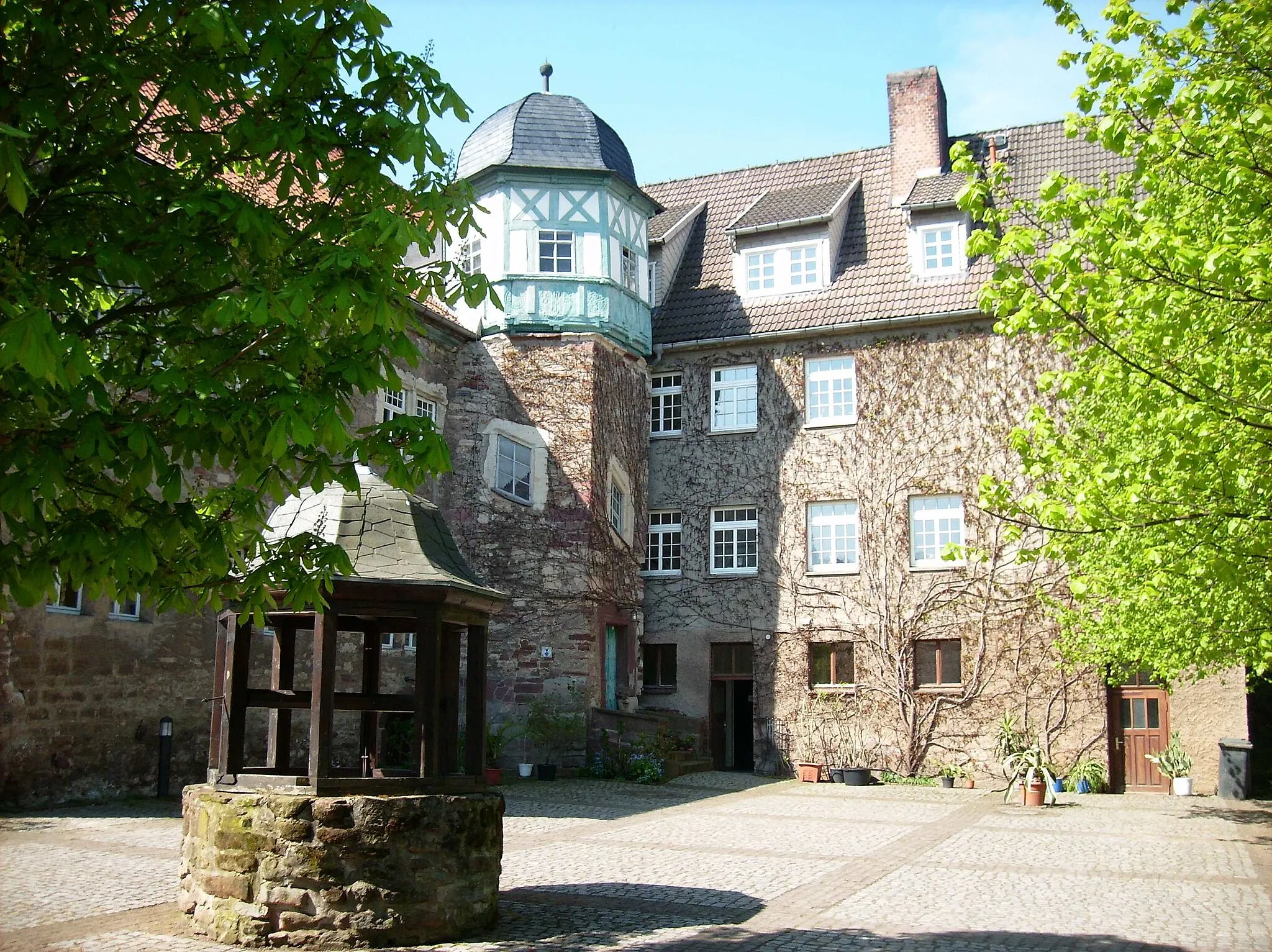
The Kyffhäuser Challenge is an 84 km road cycling route that offers a challenging adventure through Kyffhäuser, Sachsen-Anhalt, Germany. With a total ascent of 941 meters, this route is recommended for well-trained amateur cyclists seeking to push their limits. Along the way, cyclists can enjoy breathtaking views and discover many highlights, including the Artenschutzturm in Kelbra, a unique observation tower dedicated to nature conservation. Bendeleben is a scenic village known for its tranquil atmosphere and rich history. Große Haardt is a natural beauty spot that shouldn't be missed, while Hohenebra offers panoramic views of the region. Another must-see attraction is the Weinberg, where cyclists can immerse themselves in the stunning vineyard landscapes. The Kyffhäuser Challenge ends with a memorable ascent to the summit of Berga, providing riders with a rewarding achievement and unparalleled vistas.
Kelbra Road Adventure
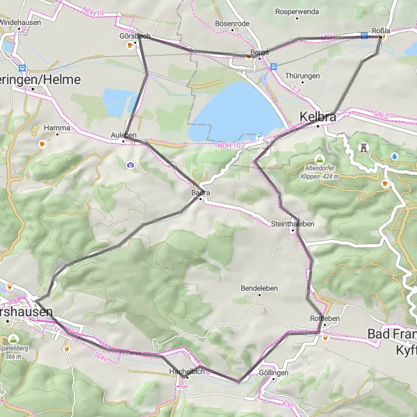
Experience the thrill of the road on this 55 km cycling route near Kelbra
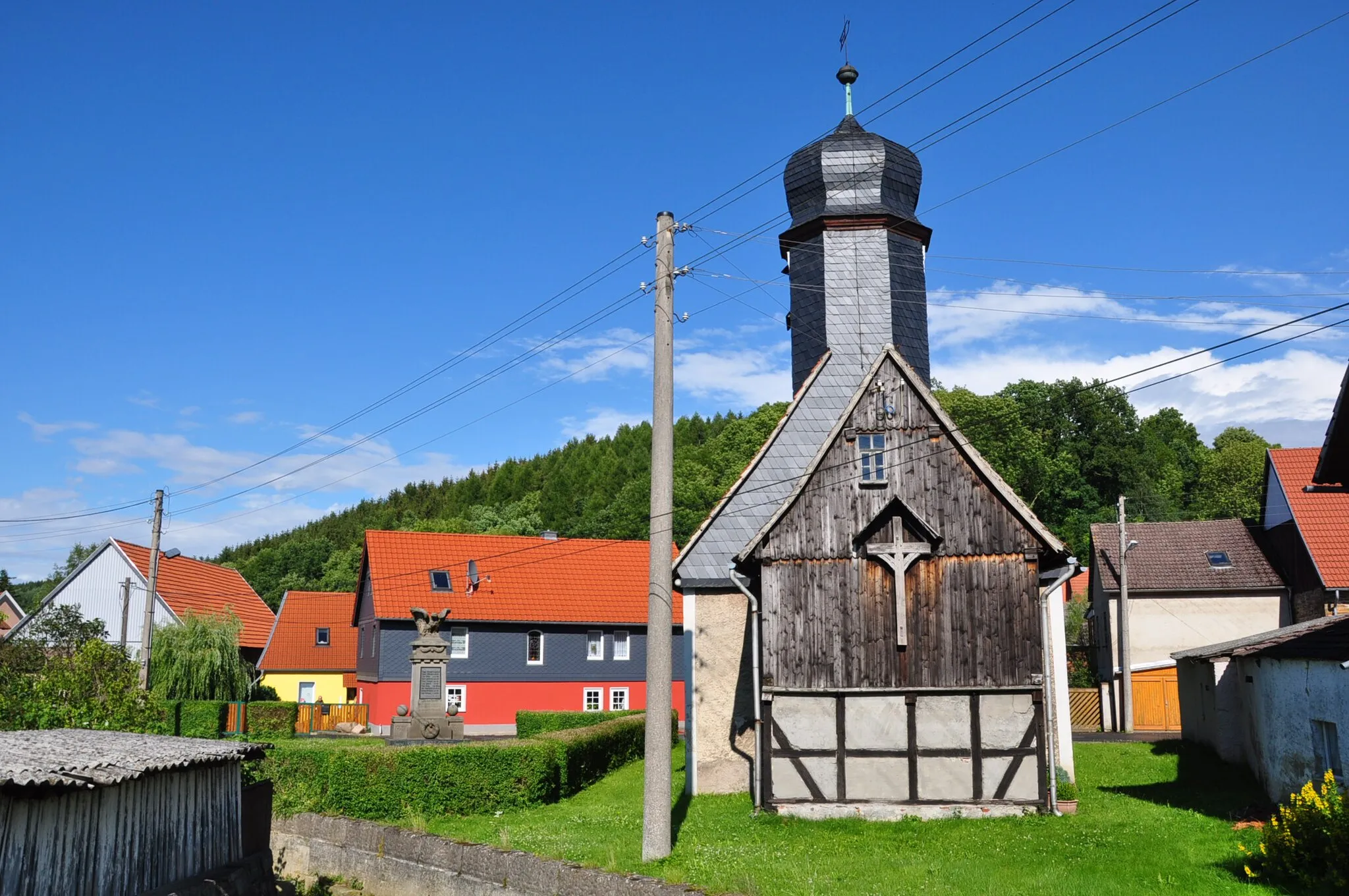
The Kelbra Road Adventure is a 55 km road cycling route that offers an exhilarating ride through the scenic landscapes near Kelbra, Sachsen-Anhalt, Germany. With a total ascent of 396 meters, this route is suitable for experienced amateur cyclists looking for a challenge. The road route highlights include the picturesque village of Kelbra, known for its charming architecture and local attractions. Additionally, Kippenberg offers a pleasant stop with various cafes and shops to explore. The route also passes through Hachelbich, famous for its pristine natural beauty. Bismarckturm Auleben and Auleben are notable attractions along the way, offering historical and cultural insights. Finally, the route reaches its climax with panoramic views from Berga, providing stunning vistas of the surrounding landscape. The Kelbra Road Adventure promises an unforgettable road cycling experience for passionate cyclists.
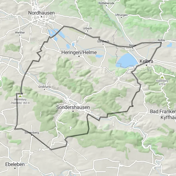
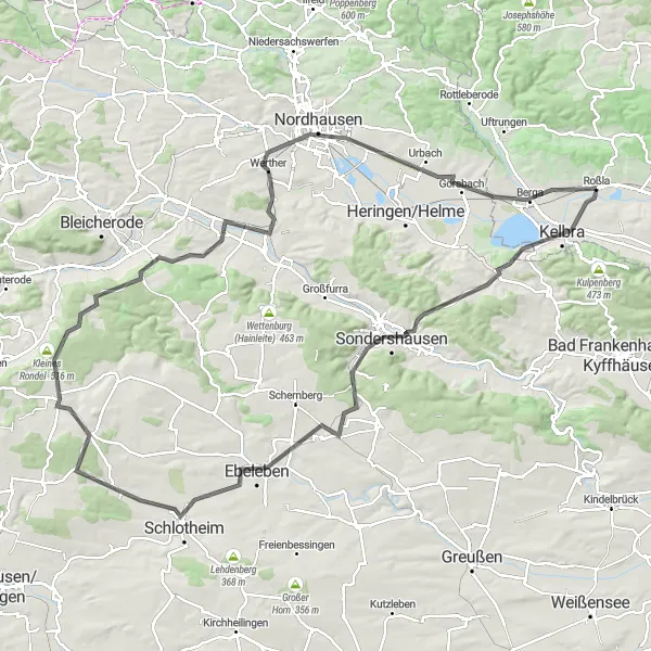
Embark on an epic cycling adventure through the mesmerizing landscapes of Harz
Prepare for an unforgettable journey through the breathtaking landscapes of Harz. This epic round-trip route covers a distance of 161 kilometers and boasts a challenging ascent of 1623 meters. Suitable for experienced cyclists, it offers spectacular views and the opportunity to discover hidden gems along the way.
Nature and Gravel Adventures
Enjoy a scenic gravel route through diverse landscapes and natural highlights
Get ready for an exciting gravel adventure through diverse landscapes and natural highlights. This round-trip route offers a total ascent of 719 meters and covers a distance of 67 kilometers, making it suitable for gravel enthusiasts looking for a moderate challenge.
Weinberg Gravel Loop
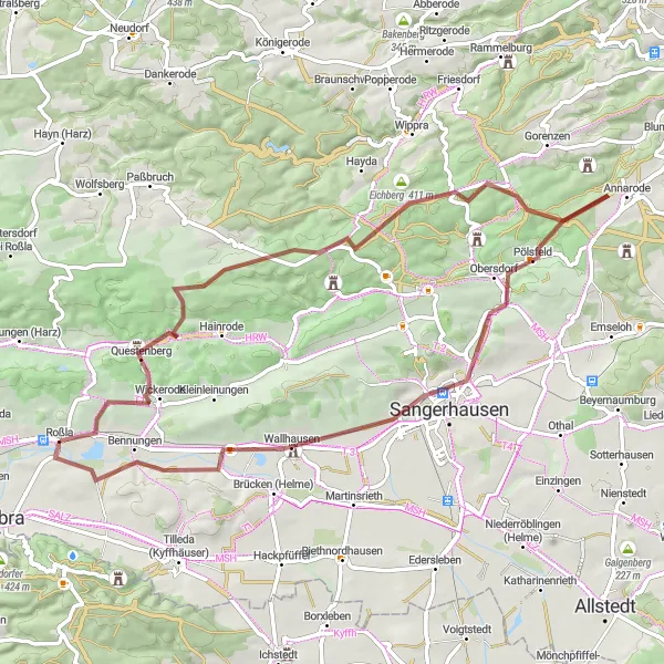
Embark on a challenging gravel adventure through the scenic Weinberg region
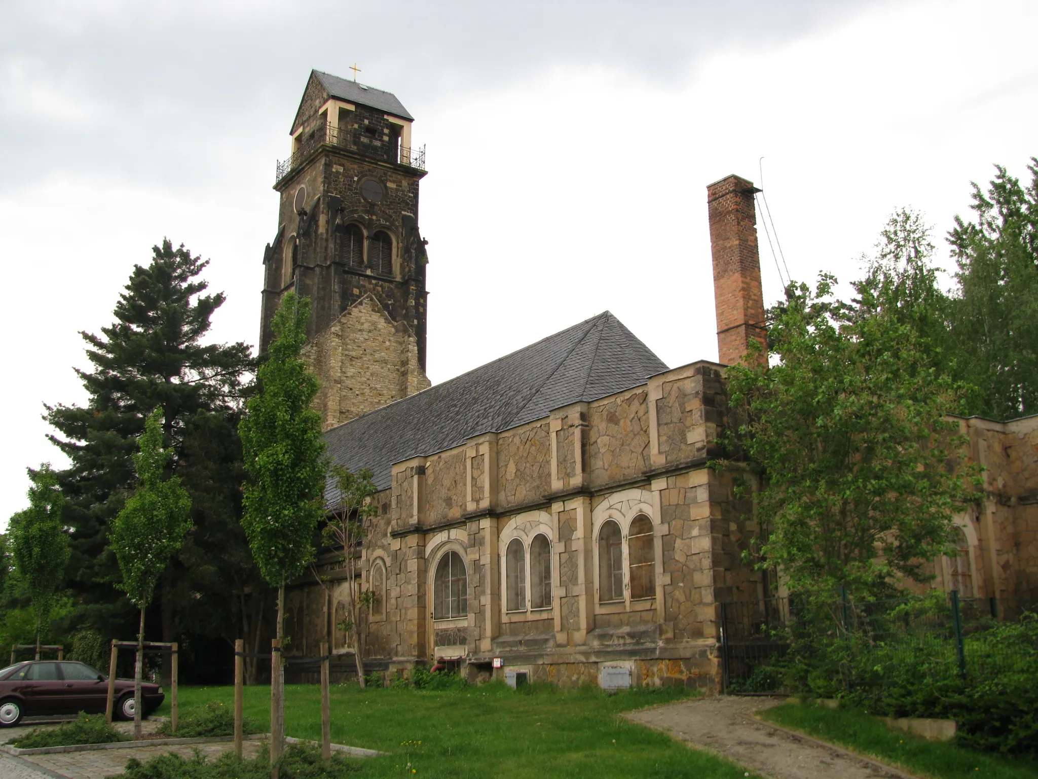
The Weinberg Gravel Loop is a 63 km gravel route that takes cyclists on a challenging adventure through the scenic landscapes of the Weinberg region near Roßla, Sachsen-Anhalt, Germany. With a total ascent of 617 meters, this route promises an adrenaline-filled ride for gravel enthusiasts. It is the perfect choice for those seeking thrilling gravel descents and picturesque scenery. Highlights along the way include Weinberg, known for its stunning vineyard landscapes, and Wickerode, a picturesque village with historical buildings and charm. Horla offers a unique insight into local culture, while Eichberg provides breathtaking panoramic views of the surrounding countryside. Kupferberg boasts a rich mining history, and Pölsfeld offers a tranquil and peaceful oasis. The route passes through Sangerhausen with its impressive churches and finally reaches Bennungen, where cyclists can immerse themselves in the natural beauty of the surrounding landscapes.
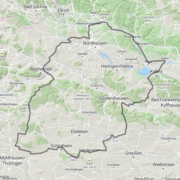
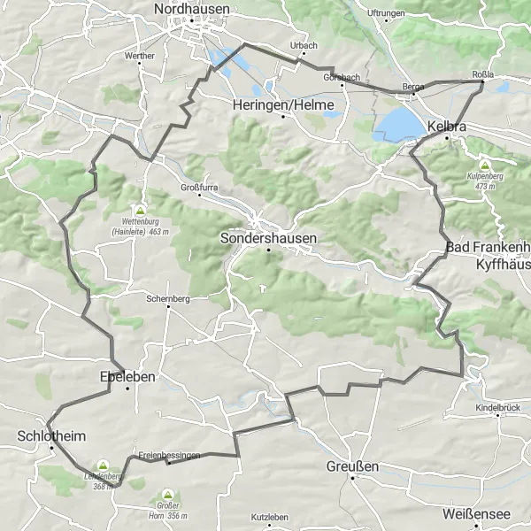
Ride through the beautiful landscape of Südharz and discover historical highlights
This round-trip cycling route takes you through the scenic countryside of Südharz, offering mesmerizing views and a chance to explore some historical highlights of the region. With a total ascent of 940 meters and a distance of 115 kilometers, this route is suitable for well-trained amateurs.
Unveil the natural and historical treasures of Harz with this captivating cycling route
This cycling route is designed to reveal the natural and historical wonders of the Harz region. Covering a total distance of 129 kilometers with an ascent of 1078 meters, it offers adventurous amateurs a chance to immerse themselves in the beauty of the surroundings.
Embark on an exciting gravel adventure through Sachsen-Anhalt
Experience the rugged beauty of Sachsen-Anhalt on this gravel adventure. With an ascent of 432 meters and a total distance of 20 kilometers, this route offers a challenging and rewarding cycling experience. Traverse through scenic landscapes and explore intriguing highlights along the way. This route is suitable for well-trained amateurs with a sense of adventure.
Cycling routes nearby:
Nearby regions: