Cycle through serene countryside landscapes with historical significance.
Cycling routes from Teuchern
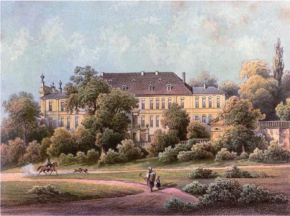
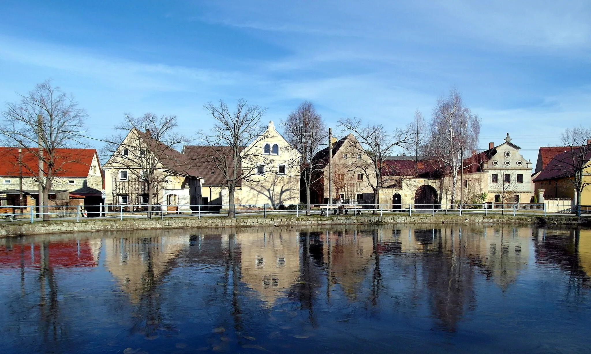
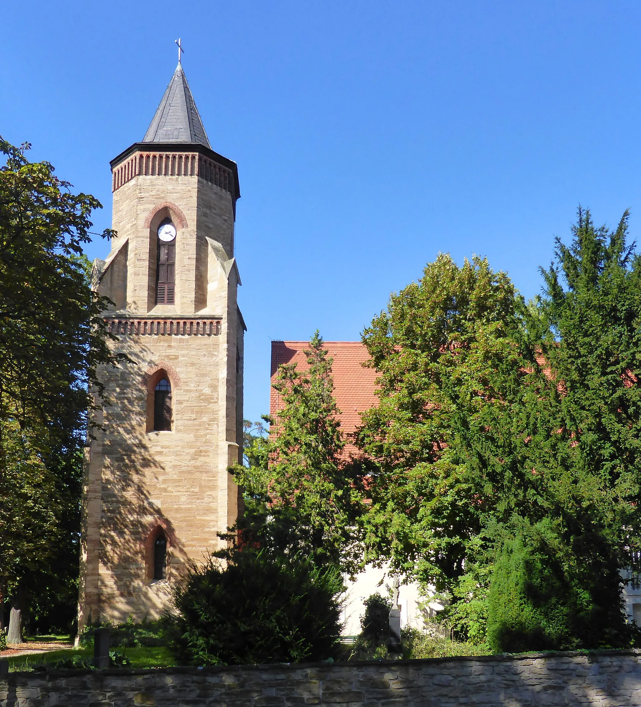
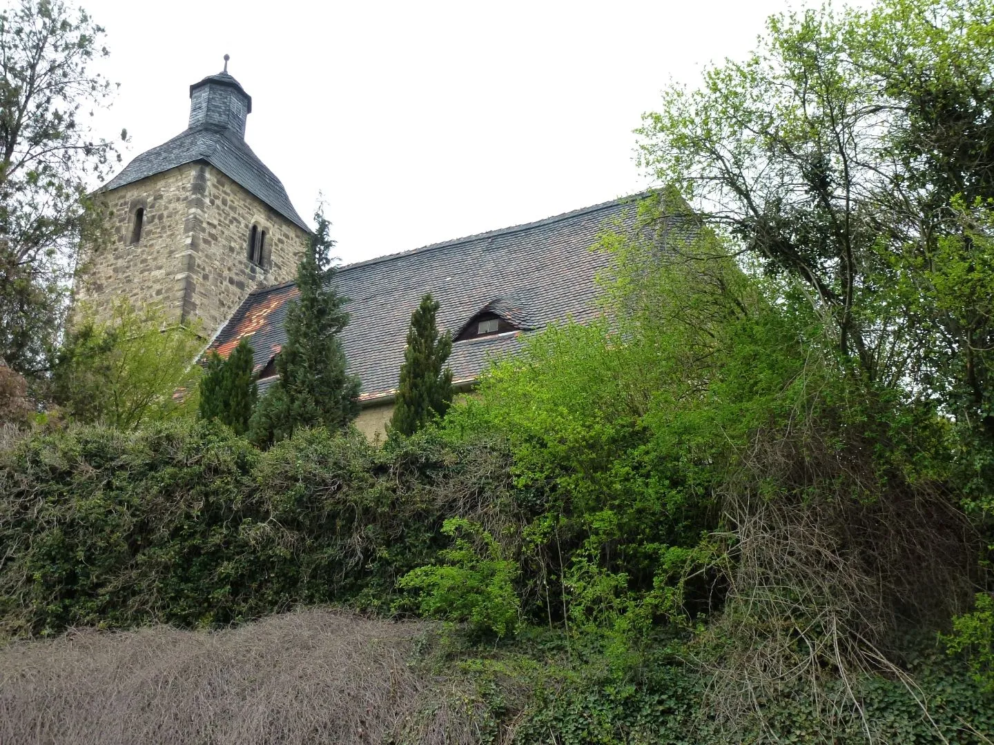
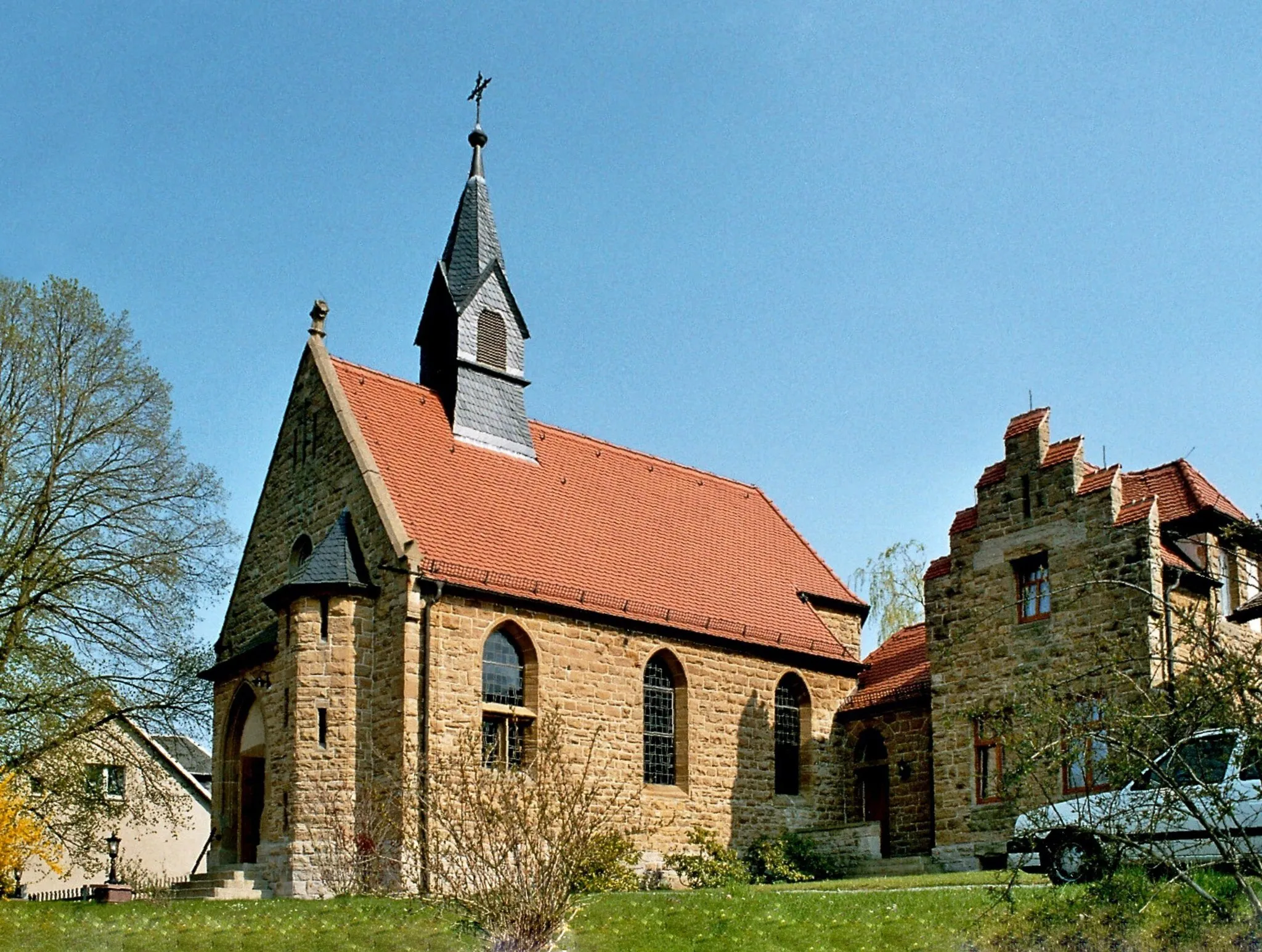
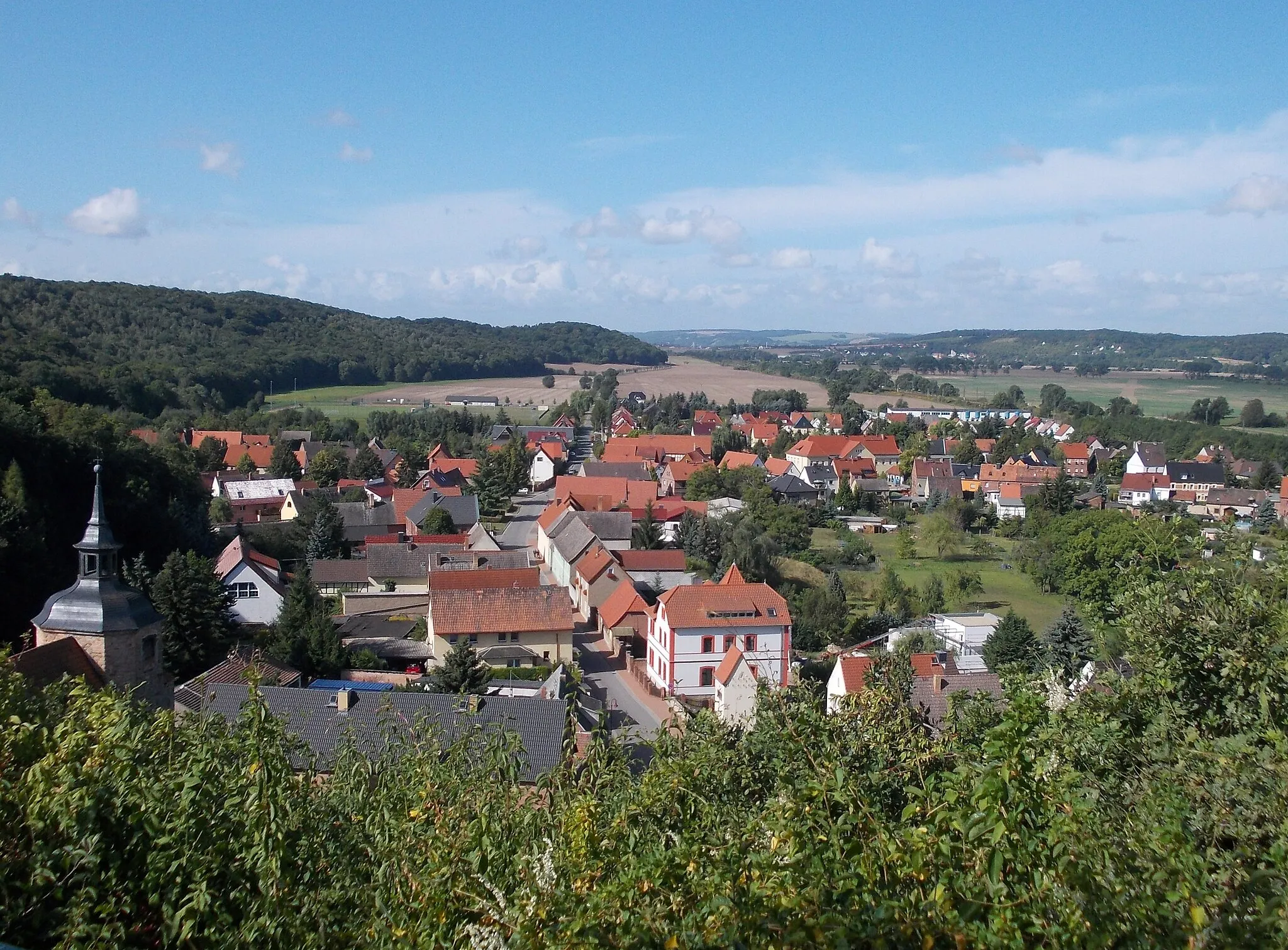
Teuchern is a locality located in Sachsen-Anhalt, Germany. As a cyclist, Teuchern offers road and gravel biking opportunities through the scenic landscape of the surrounding region. Cyclists can experience peaceful rides along well-maintained roads, passing by charming villages and rural farmland. The area is also known for its connection to Martin Luther, with important historical sites related to the Protestant Reformation located nearby. Additionally, the flat terrain makes Teuchern suitable for cyclists of all skill levels. Overall, Teuchern provides a tranquil and historically-rich environment for cyclists to enjoy.
Teuchern to Rössuln Gravel Route
Discover the picturesque countryside near Teuchern on this scenic gravel route
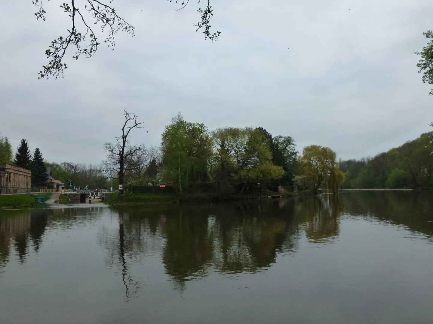
This gravel route starting near Teuchern takes you on a journey through the beautiful countryside of Sachsen-Anhalt. With a total distance of 66km and an elevation gain of 261m, this route offers a moderate challenge for cyclists. Along the way, you'll pass highlights such as Teuchern, Schkortleben, Bad Dürrenberg, Nempitz, Röcken, Poserna, Rössuln, and Runthal.
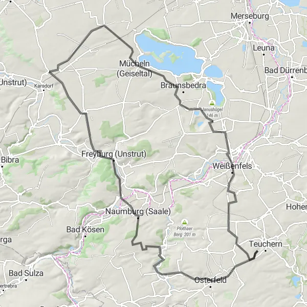
Embark on an epic road cycling adventure and conquer the hills around Weißenfels.
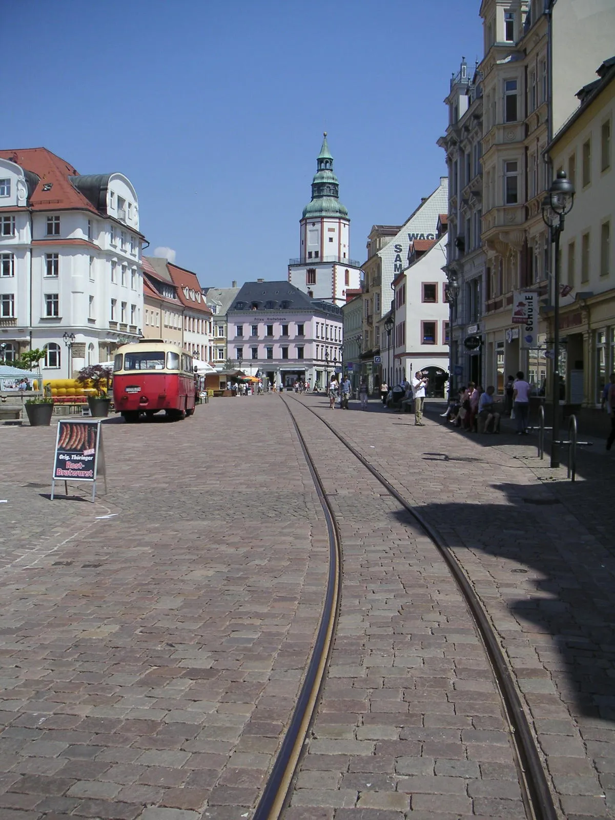
This challenging road route takes you on an epic journey through the hilly landscapes near Weißenfels. With a distance of 100 kilometers and an ascent of 634 meters, this route is suitable for well-trained cyclists looking for a demanding challenge. The route starts in Teuchern and passes through picturesque towns such as Naumburg and Weißenfels. Highlights along the route include the Loreley, a scenic viewpoint with panoramic views, and the historic town of Weißenfels, known for its impressive castle. Overall, this route offers a mix of demanding climbs, stunning vistas, and cultural attractions.

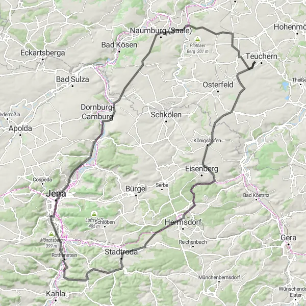
Embark on a challenging gravel adventure from Teuchern to Gröben
This gravel route starting near Teuchern offers a challenging adventure for experienced cyclists. With a distance of 106km and an elevation gain of 625m, this route provides a serious test of endurance. Along the way, you'll pass highlights such as Osterfeld, Naumburg (Saale), Loreley, Kohlberg, Oechlitz, Tupolew Tu-134, Großkorbetha, and Gröben.
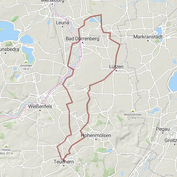
Through the Hills and Valleys
Discover the natural beauty and historical landmarks of the Sachsen-Anhalt countryside on this road cycling route.
This challenging road cycling route takes you through picturesque hills and lush valleys, allowing you to appreciate the stunning natural beauty of the Sachsen-Anhalt region. Along the way, you will pass by historic towns with fascinating landmarks that offer a glimpse into the area's rich history. The route is suitable for experienced cyclists looking for a scenic and rewarding ride.
Discover the gravel paths around Teuchern and enjoy the peaceful countryside.
This round-trip gravel route is perfect for adventure seekers who want to explore the scenic countryside around Teuchern. With a distance of 57 kilometers and an ascent of 464 meters, this route is suitable for amateurs with some off-road cycling experience. The route starts in Teuchern and takes you through gravel paths and dirt roads, offering a unique and challenging riding experience. Highlights along the route include the Igelberg, a small hill with panoramic views, and the village of Gröben, known for its traditional wooden art. Overall, this route provides a mix of gravel and dirt terrain, stunning landscapes, and opportunities to immerse in rural culture.
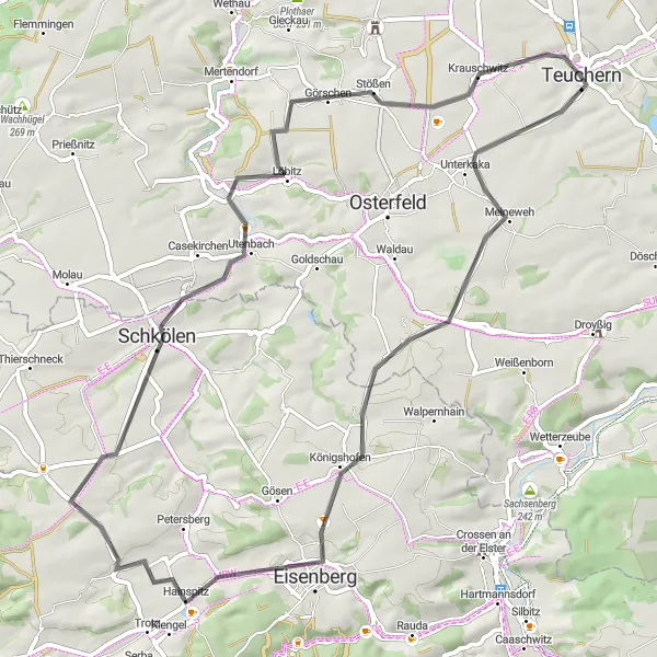
Discover the lesser-known sights of Sachsen-Anhalt on this road cycling route.
This road cycling route takes you off the beaten path, allowing you to explore the hidden gems of Sachsen-Anhalt. From the peaceful town of Teuchern to the historic city of Goerschen, you'll encounter charming villages, scenic landscapes, and a rich cultural heritage. Suitable for intermediate cyclists, this route offers a mix of flat and hilly terrain.
Weißenfels and Hohenmölsen Loop
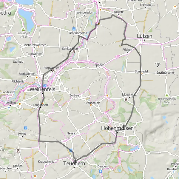
Explore the charming towns of Weißenfels and Hohenmölsen on this scenic cycling route.
Embark on a delightful journey through the picturesque towns of Weißenfels and Hohenmölsen, while enjoying breathtaking views of the Sachsen-Anhalt countryside. The route, suitable for road cycling enthusiasts, covers a total distance of 56 kilometers and features a modest ascent of 267 meters. Take in the beauty of the surrounding landscapes as you pedal through enchanting villages and tranquil rural roads.
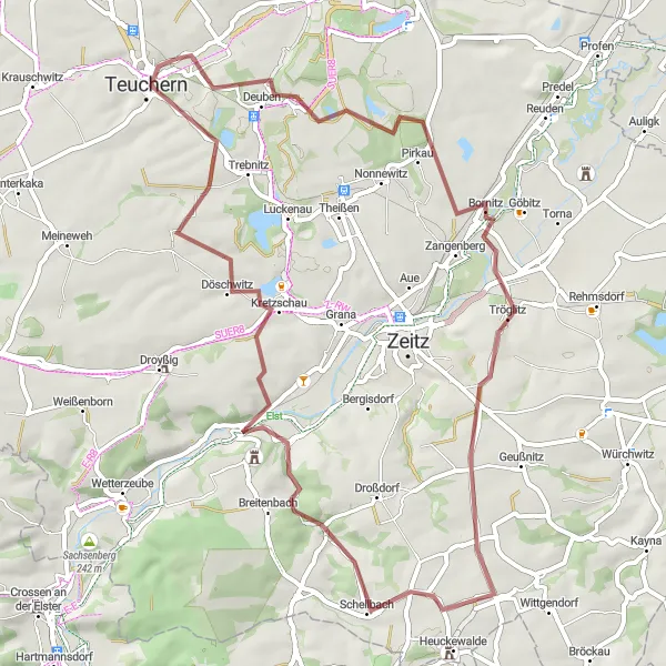
Elster Valley Ride
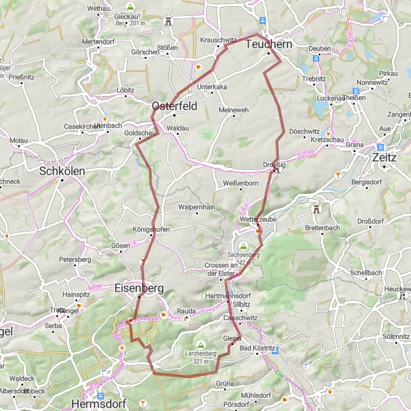
Experience the beauty of the Elster Valley and discover charming towns along the way.
This gravel route takes you through the picturesque Elster Valley, offering breathtaking views of the river and surrounding landscapes. With a distance of 65 kilometers and an ascent of 838 meters, this route is suitable for experienced gravel cyclists. The route starts in Teuchern and passes through beautiful towns such as Droyßig and Eisenberg. Highlights along the route include the Schloßturm in Droyßig, a medieval tower with panoramic views, and Osterfeld, a historic town with well-preserved half-timbered houses. Overall, this route combines challenging gravel sections with stunning natural scenery and cultural highlights.
Naumburg Loop
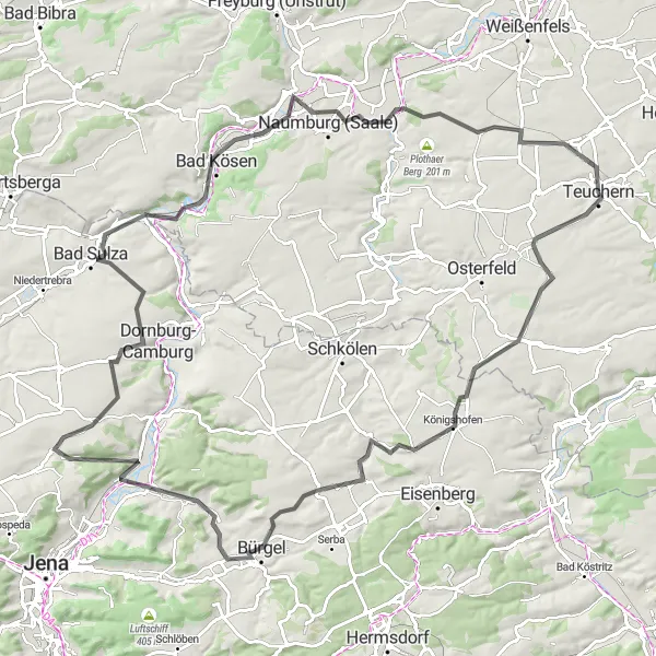
Cycle through the beautiful countryside near Teuchern and visit the historic city of Naumburg.
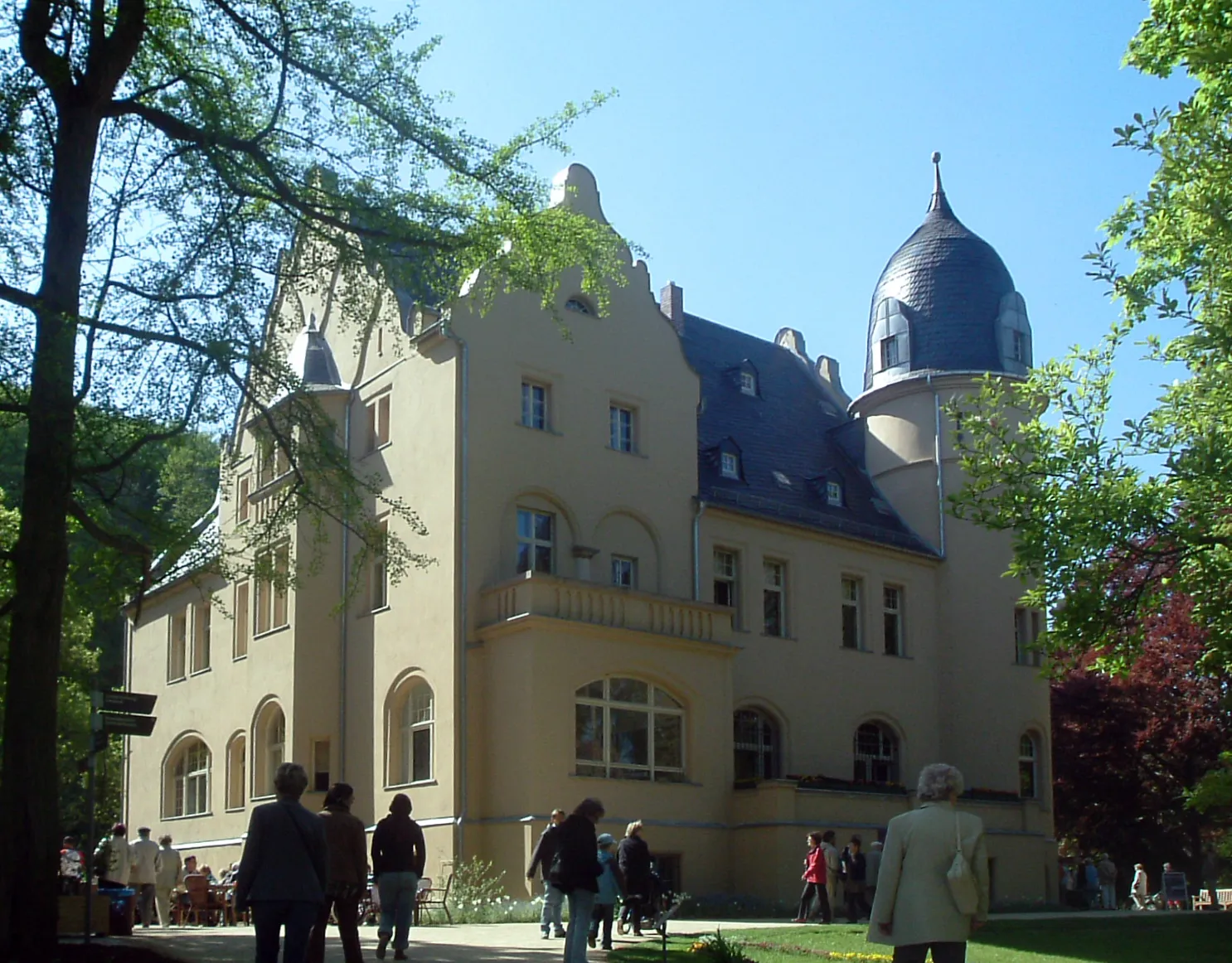
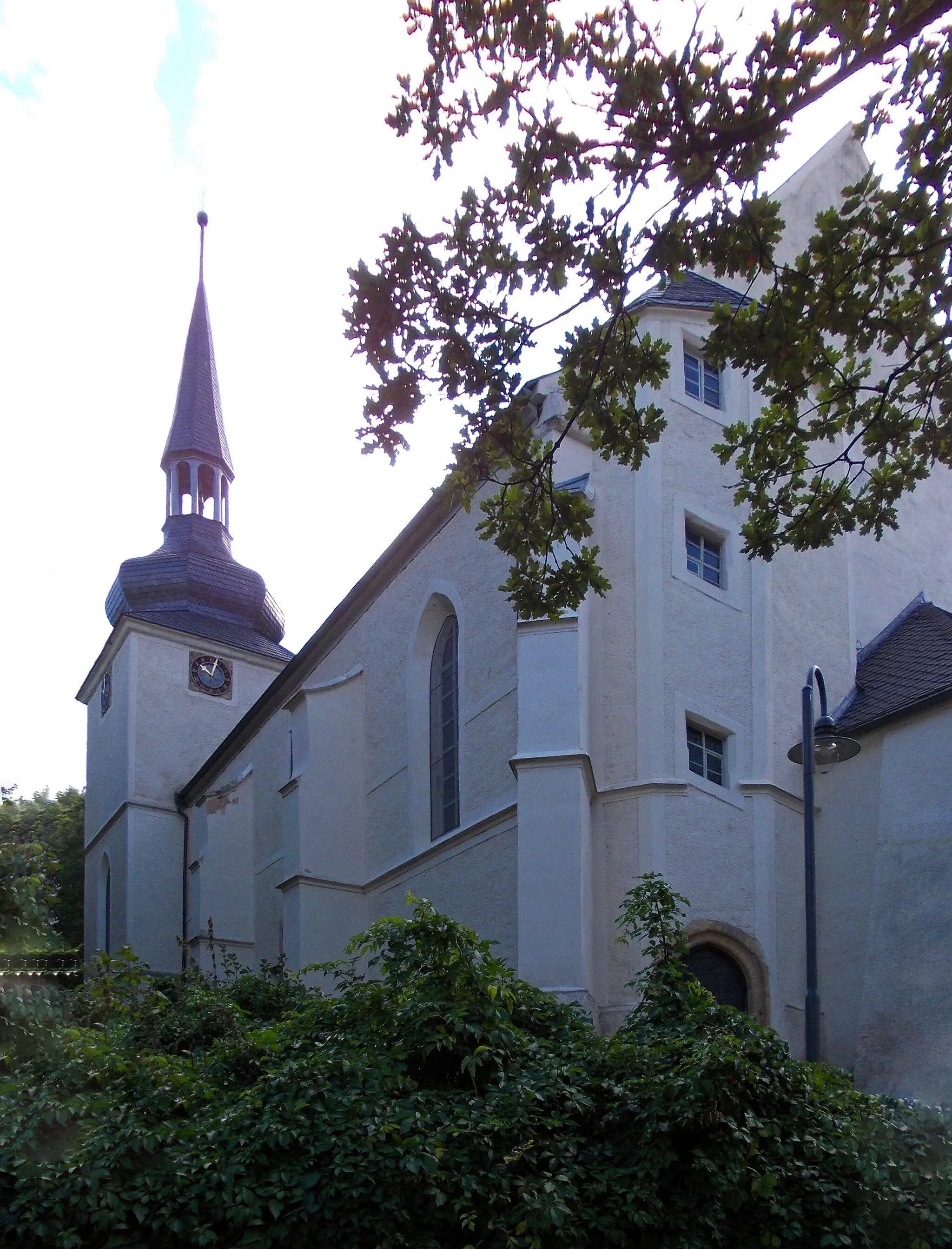
This round-trip cycling route takes you through the scenic countryside near Teuchern and includes a visit to the historic city of Naumburg. With a total distance of 108 kilometers and an ascent of 864 meters, this road route is suitable for well-trained amateur cyclists. The route starts in Teuchern and passes through several picturesque towns and villages. One of the highlights along the route is the Zietschkuppe, a hill with stunning views of the surrounding landscape. Another highlight is the Wenzelsturm, a medieval tower in Naumburg. Overall, this route offers a mix of moderate climbs, beautiful scenery, and historical sights.
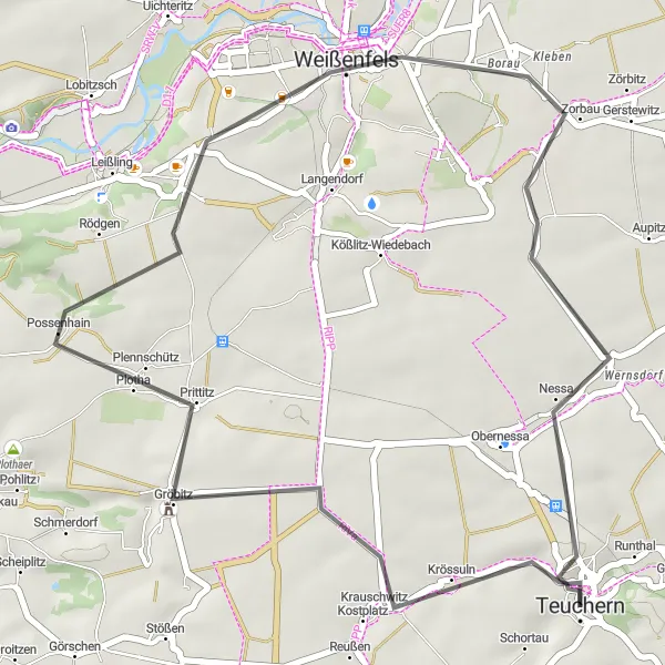
Explore the rolling hills and charming villages around Zorbau.
This road route takes you through the scenic landscapes and charming villages near Zorbau. With a distance of 35 kilometers and an ascent of 248 meters, this route is suitable for cyclists of all levels. The route starts in Teuchern and passes through the quaint village of Prittitz, known for its beautiful half-timbered houses. Another highlight along the route is the Nessa, a small village known for its gardens and green spaces. Overall, this route offers gentle rolling hills, picturesque villages, and opportunities to discover the rural beauty of the region.
Cycling routes nearby:


Nearby regions: