Discover the beauty of Schwaben on two wheels
Cycling routes from Fremdingen
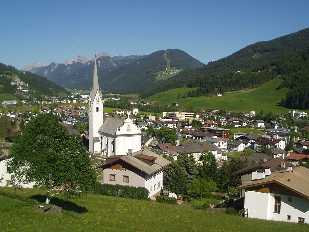
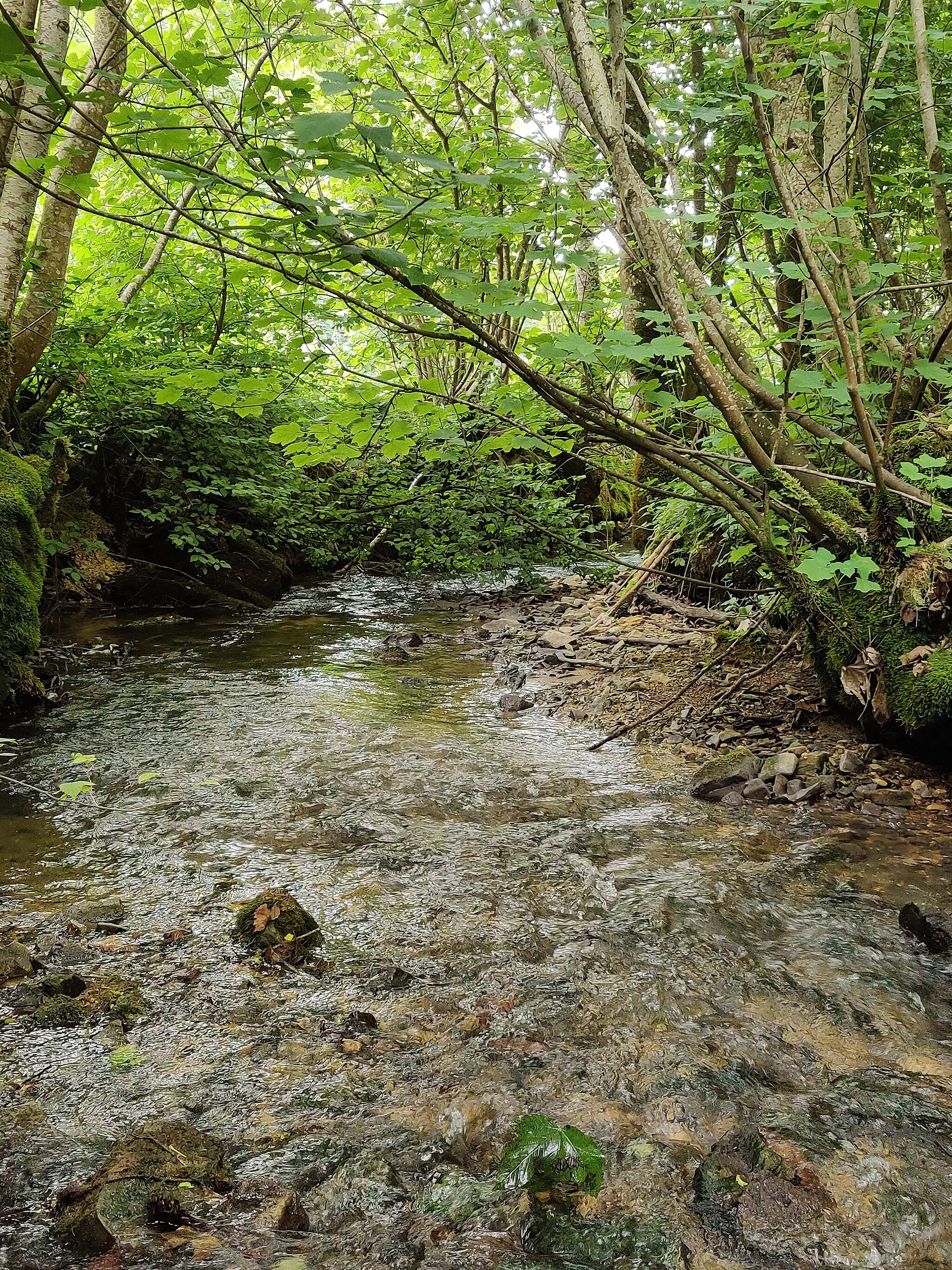
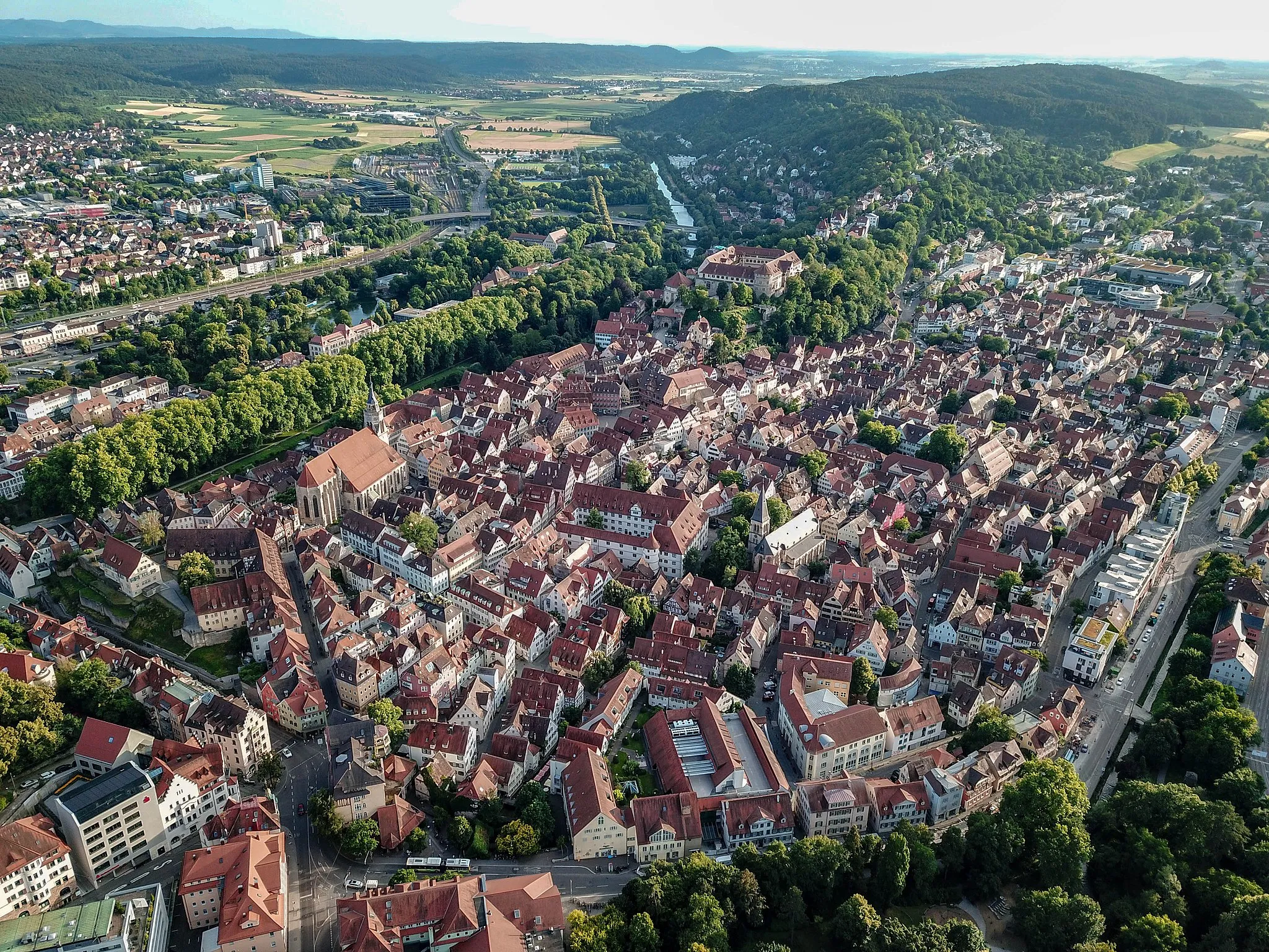
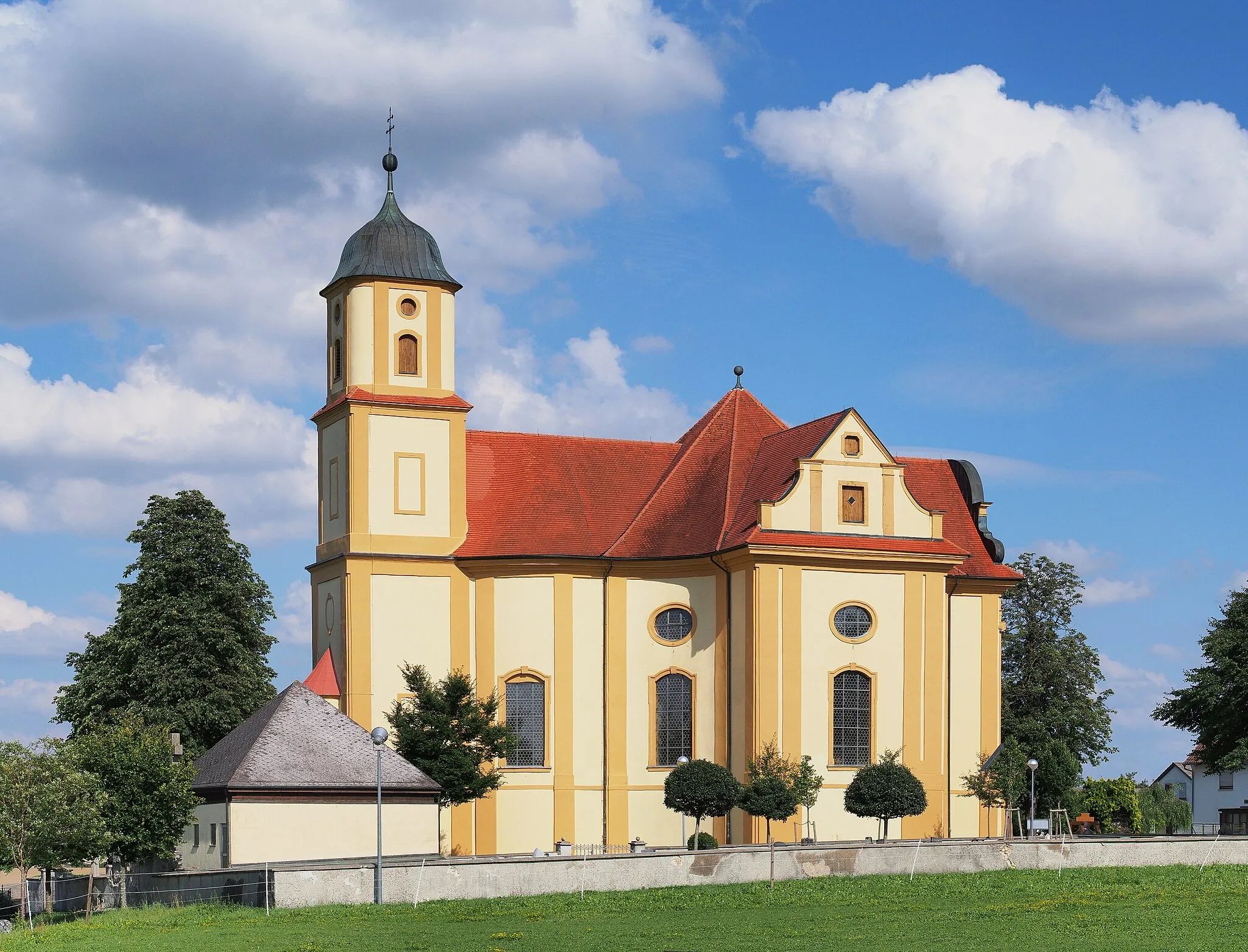
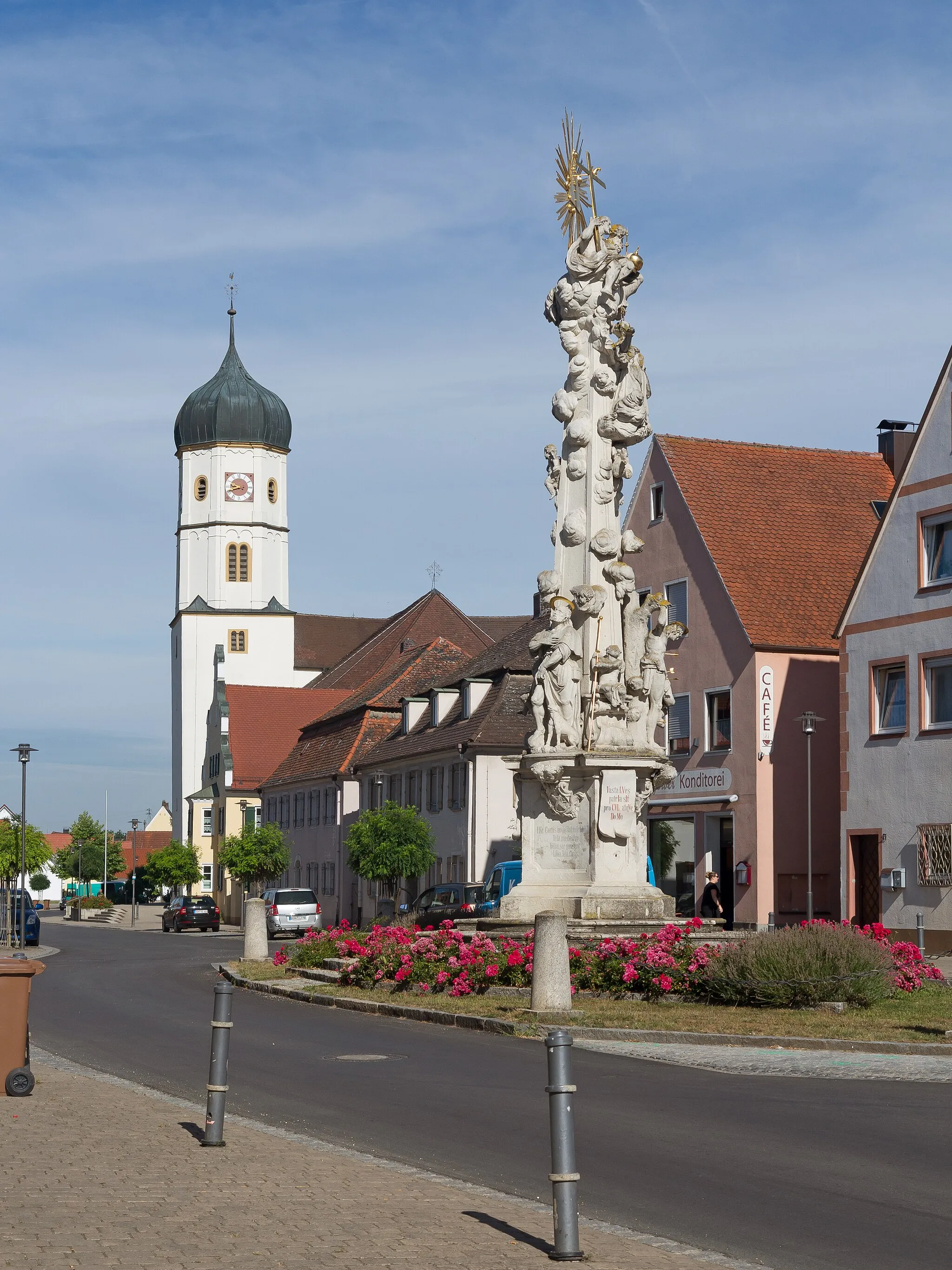
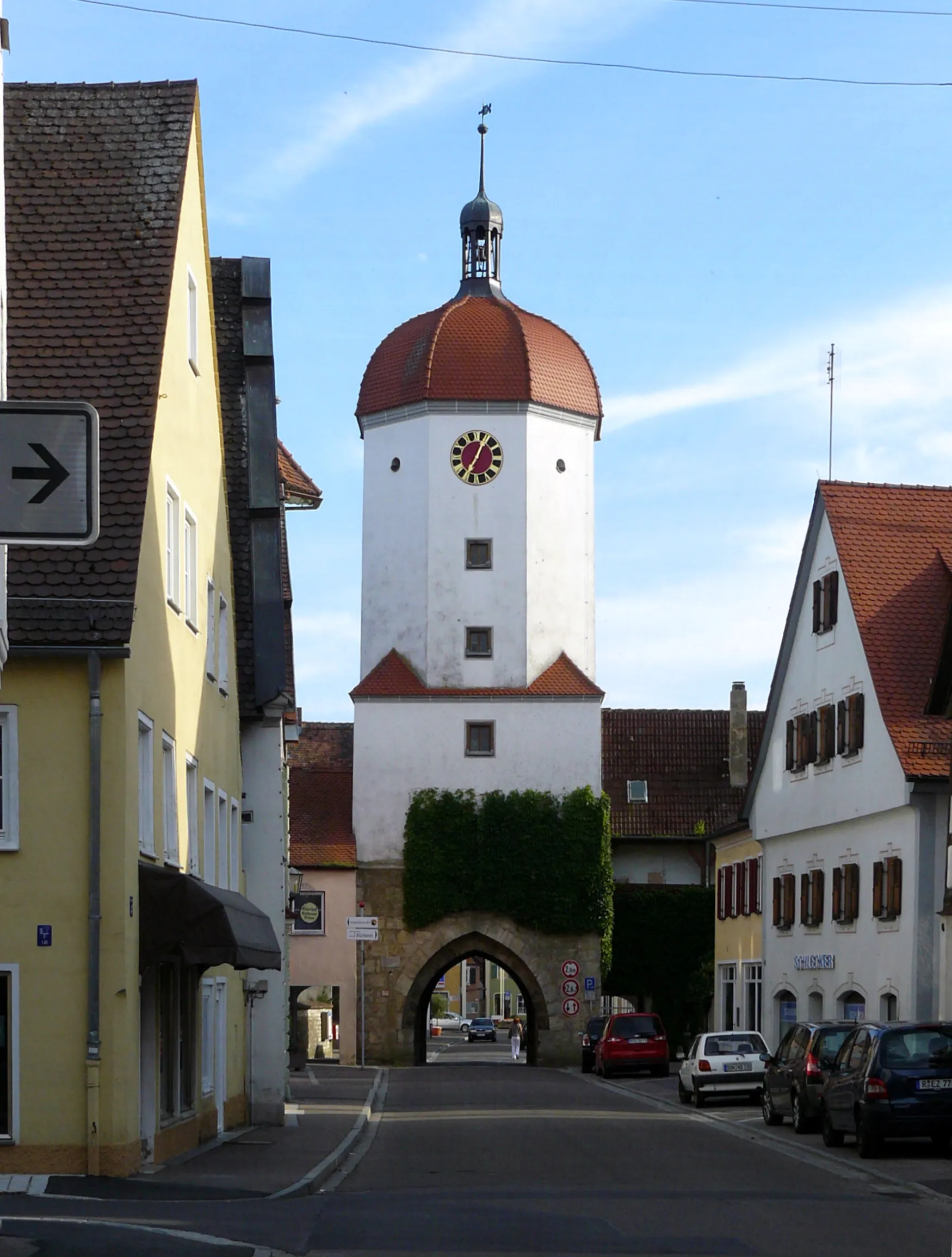
Fremdingen is a locality located in the Schwaben region of Germany. For a road and gravel cyclist, there are several great cycling routes to explore with varying levels of difficulty. The surrounding landscape offers picturesque views, making it an enjoyable experience. While Fremdingen does not boast any famous cycling-related spots or well-known climbs, it provides a great base for discovering the beauty of the Schwaben region on two wheels.
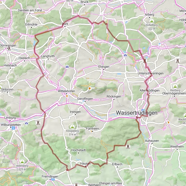
Explore the scenic Schwaben countryside on this gravel cycling route
This 62km gravel route takes you through the picturesque Schwaben countryside, offering beautiful views of Sandbühl, Oberkemmathen, and Schloss Unterschwaningen. With an ascent of 565m, the route provides a challenging but rewarding experience for cyclists who enjoy off-road adventures.
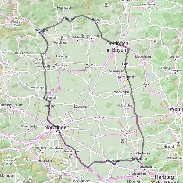
Embark on a scenic road cycling journey featuring Geißberg and Döckinger Berg.
This 106 km road cycling route is perfect for cyclists seeking a challenging adventure. With an ascent of 927 meters, it offers a difficult difficulty level suitable for experienced riders. The route takes you through stunning landscapes and showcases the beauty of Geißberg and Döckinger Berg. Geißberg, located at the 12 km mark, offers breathtaking views at the summit. Döckinger Berg, located at the 77 km mark, is famous for its challenging climb and panoramic vistas. Overall, this route provides a thrilling experience with ample opportunities to admire the natural beauty of Schwaben.
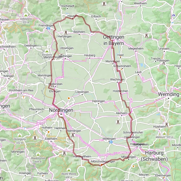
Uncover the beauty of Utzwingen and Aidelsberg on this picturesque road cycling route.
This 95 km road cycling route is perfect for cyclists seeking a scenic journey through picturesque landscapes. With an ascent of 953 meters, it offers a challenging difficulty level suitable for experienced riders. The route takes you through charming villages and highlights the beauty of Utzwingen and Aidelsberg. Utzwingen, located at the 5 km mark, offers picturesque countryside views and traditional Bavarian architecture. Aidelsberg, located at the 89 km mark, is a high point with breathtaking panoramic vistas of the surrounding area. Overall, this route promises a rewarding experience with stunning scenery and cultural attractions along the way.
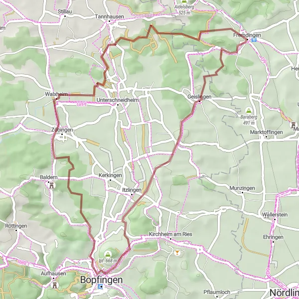
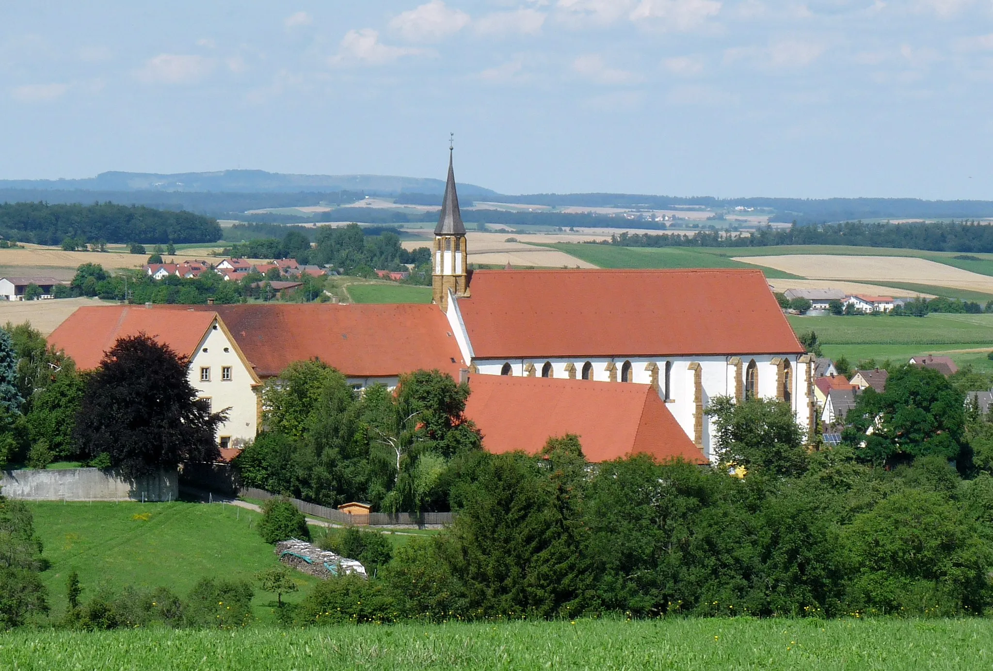
Discover the historical landmarks of Ipf and Bopfingen on this gravel route
This 44km gravel route takes you through the beautiful landscapes surrounding Ipf and Bopfingen. With an ascent of 480m, this route offers a moderate challenge while providing opportunities to explore the rich history of the region. Highlights include Geislingen, Ipf, Bopfingen, and Zöbingen.
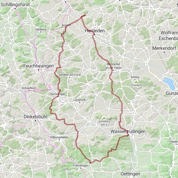
Ride through scenic landscapes and discover the charming Veitsweiler and Burg Aurach.
This distinctive gravel route takes you on a 94 km journey through forested areas and picturesque countryside. With an ascent of 873 meters, it offers a moderate challenge suitable for experienced cyclists. The route also features several highlights, including Veitsweiler and Burg Aurach. Veitsweiler is located at the 6 km mark and offers beautiful views of the surrounding countryside. Burg Aurach, located at the 42 km mark, is a historic castle with a fascinating history. Overall, this route is a great choice for gravel cycling enthusiasts looking to explore the scenic Schwaben region.
Embark on a gravel adventure through the charming village of Wörnitzostheim
This 71km gravel route takes you through the peaceful village of Wörnitzostheim and surrounding countryside. With a challenging ascent of 530m, this route offers a mix of picturesque landscapes and rural charm. Highlights along the way include Niederaltheim, Galgenberg, and Schopflohe.
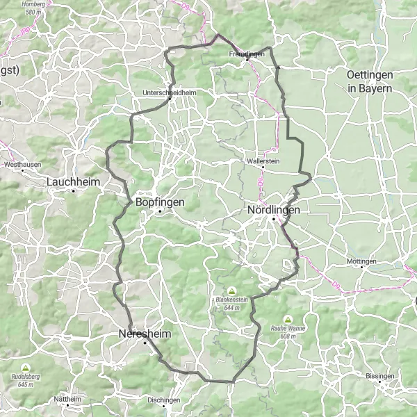
Embark on a thrilling road cycling adventure featuring the Rollenberg and Wallerstein highlights.
This 66 km road cycling route is perfect for cyclists seeking an exhilarating challenge. With an ascent of 240 meters, it offers a moderate difficulty level suitable for well-trained amateurs. The route takes you through scenic landscapes and passes by several highlights, including the Rollenberg and Wallerstein landmarks. Rollenberg, located at the 33 km mark, offers panoramic views of the surrounding area. Wallerstein, located at the 54 km mark, is known for its historical architecture and picturesque setting. Overall, this route provides a rewarding cycling experience with breathtaking views and cultural attractions along the way.
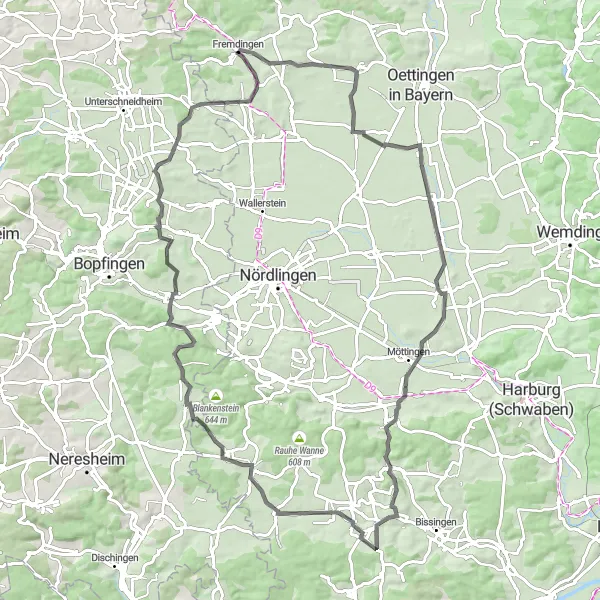
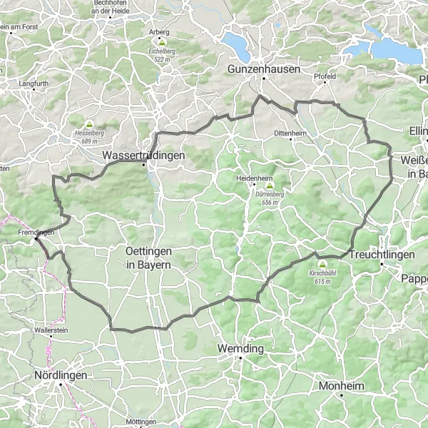
Embark on a challenging road cycling route to Geislingen
This 90km road cycling route provides a challenging ride with an ascent of 894m, perfect for well-trained amateur cyclists seeking a demanding workout. Highlights along the way include Hochaltingen, Heuberg, Appetshofen, Aussichtsplattform, Unterringingen, Forheim, Ohrengipfel, Baraberg, and Geislingen.
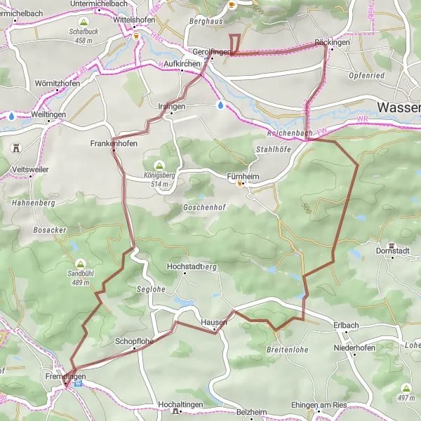
Discover the beauty of Frankenhofen and Schopflohe on this exciting gravel route.
This 36 km gravel route is perfect for cyclists seeking a thrilling adventure. With an ascent of 455 meters, it offers a moderate difficulty level suitable for experienced riders. The route takes you through scenic landscapes and highlights the beauty of Frankenhofen and Schopflohe. Frankenhofen, located at the 8 km mark, is known for its charming traditional architecture. Schopflohe, located at the 33 km mark, is a scenic village with beautiful views of the surrounding countryside. Overall, this route offers a unique and exhilarating experience, allowing cyclists to explore the hidden gems of Schwaben.
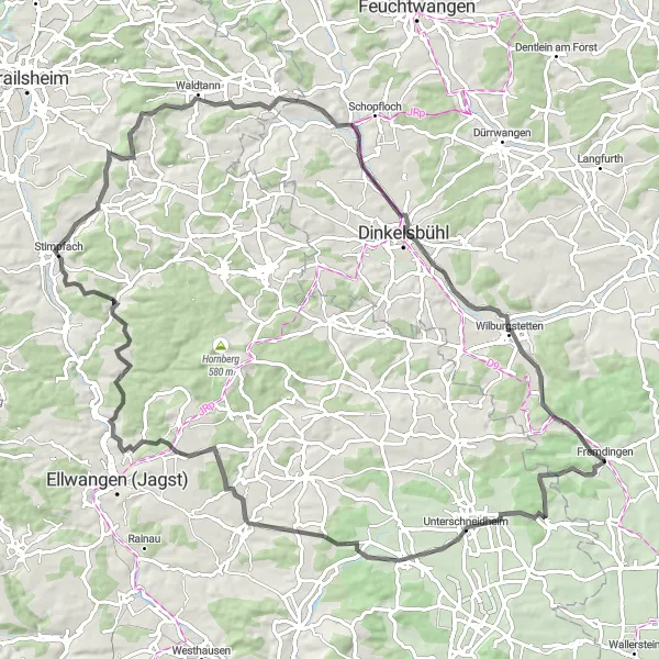
Cycle through the picturesque landscapes of Schwaben and discover the charming towns of Zöbingen, Schönenberg, Rindelbach, Stimpfach, Waldtann, Hirschberg, Vogelbuck, and Greiselbach.
Embark on a 91-kilometer cycling adventure that takes you through some of the most beautiful landscapes in Schwaben. Enjoy the picturesque views of rolling hills, forests, and charming villages along the way. The route includes several ascents, providing a challenge for experienced cyclists. Prepare to be captivated by the unique beauty of Zöbingen, Schönenberg, Rindelbach, Stimpfach, Waldtann, Hirschberg, Vogelbuck, and Greiselbach, as you cycle through these idyllic towns. This cycling route offers a perfect blend of natural beauty, cultural attractions, and a thrilling cycling experience.
Cycling routes nearby:


Nearby regions: