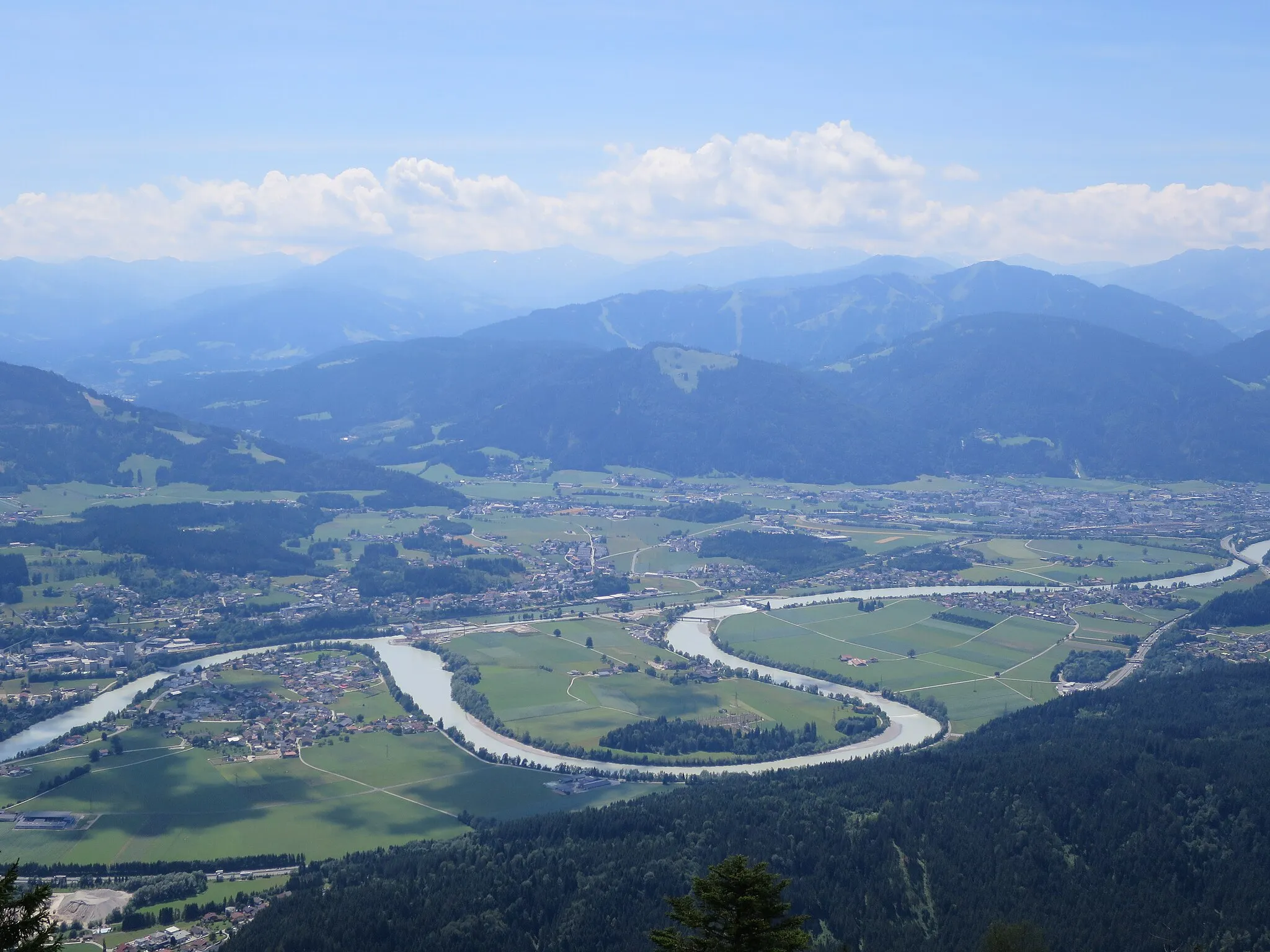
Cycling routes through scenic Schwaben countryside
Cycling routes from Vohringen
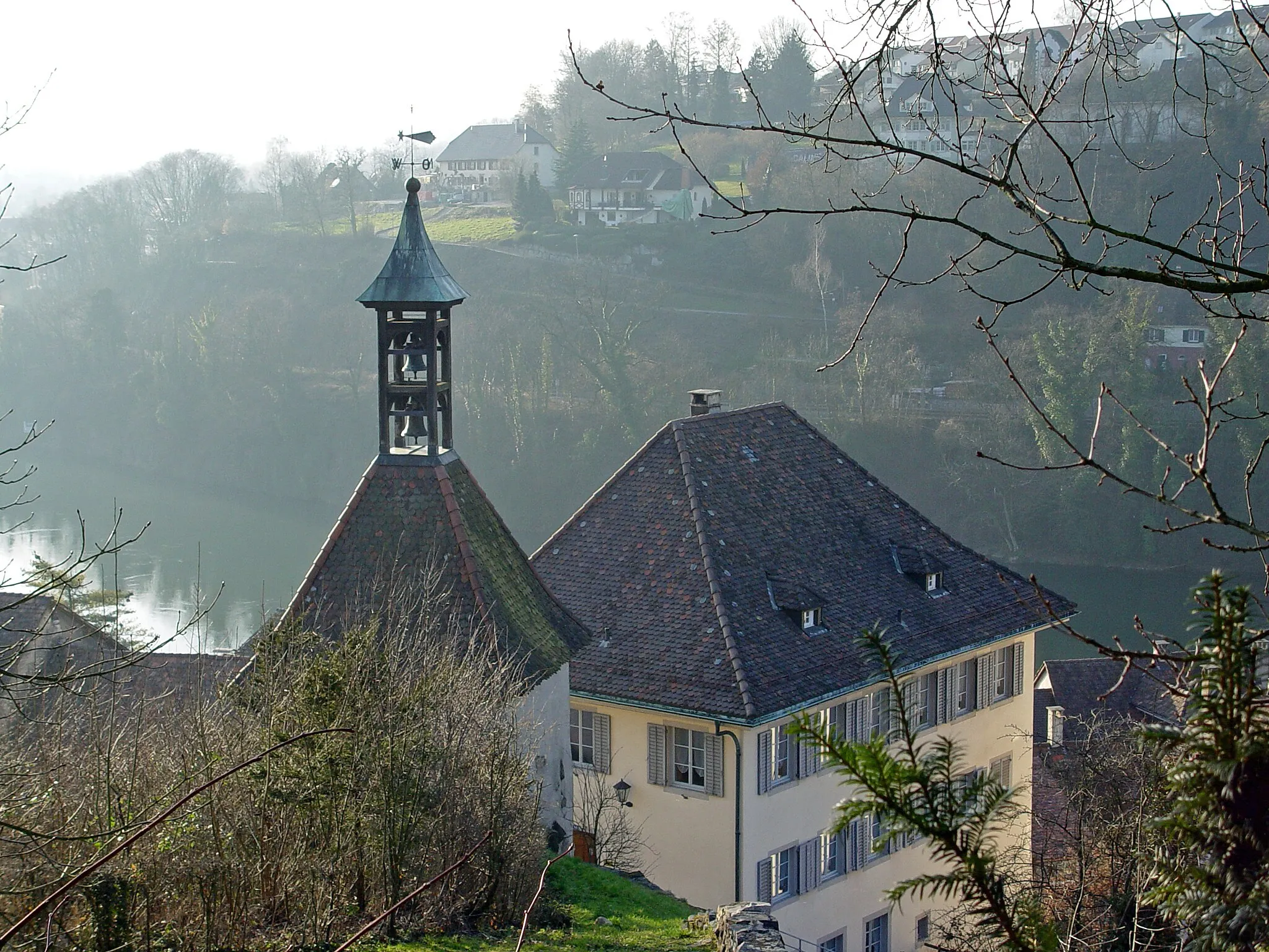
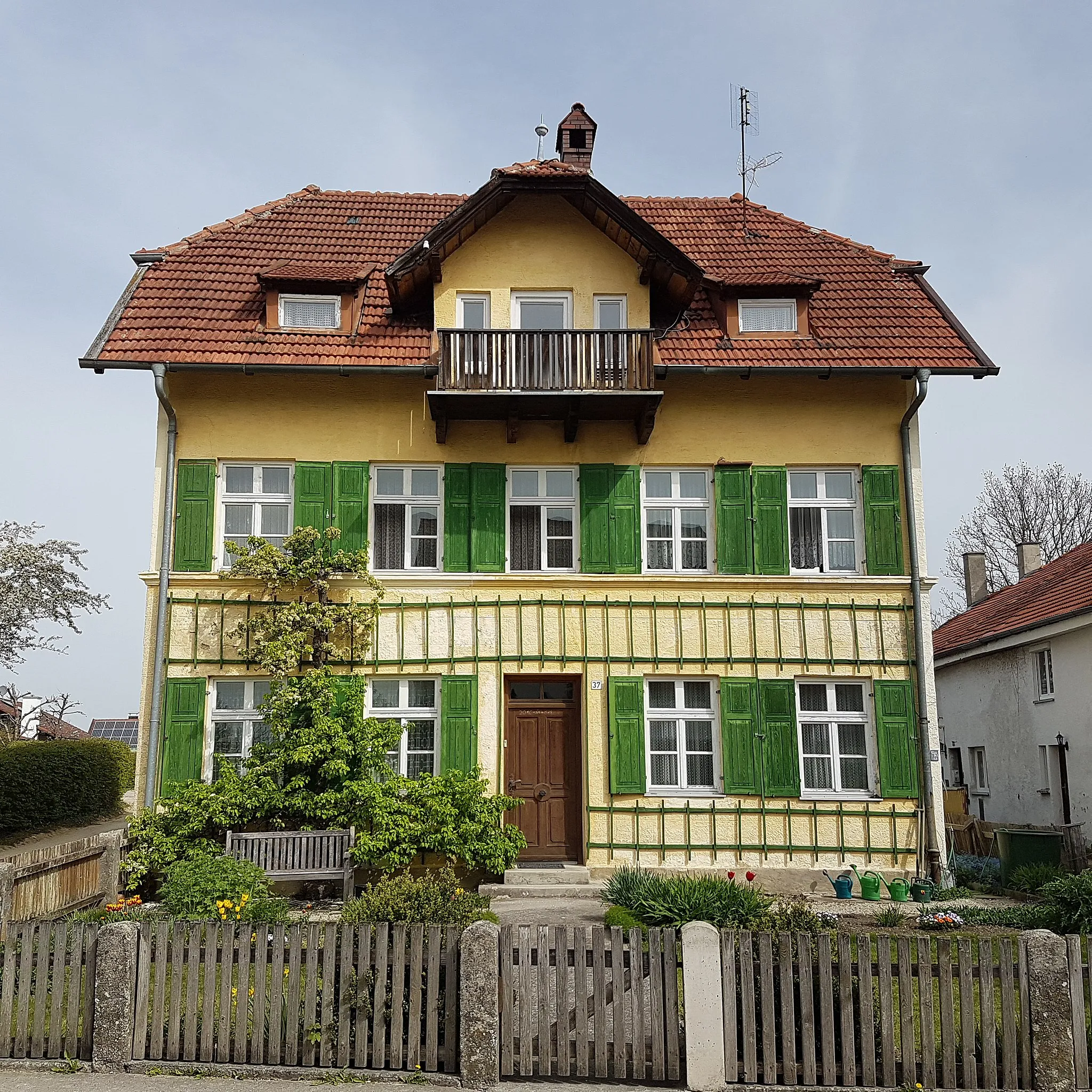
Vöhringen is a charming locality situated in the Schwaben region of Germany. As a road and gravel cyclist, Vöhringen offers a variety of cycling routes with varying difficulty levels. The surrounding region is known for its beautiful landscapes, featuring rolling hills and tranquil countryside. One popular spot for cyclists in the area is the Vöhringer Radweg, a well-maintained cycling path that traverses through scenic villages and natural scenery. Whether you're a beginner or an experienced cyclist, Vöhringen provides ample opportunities for enjoyable rides.
Exploring the scenic countryside from Vöhringen to Lohberg
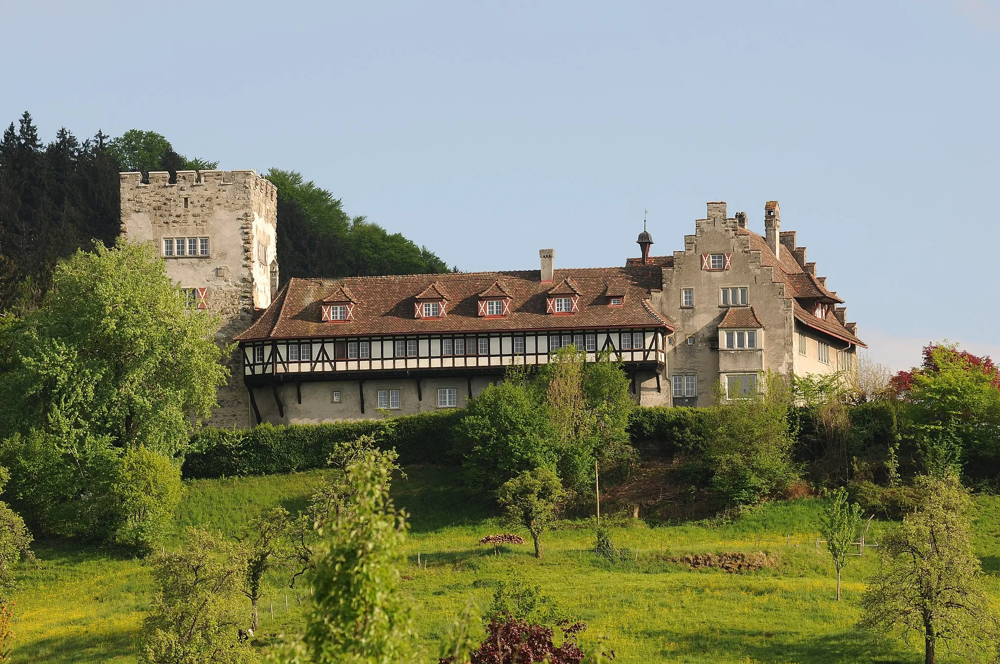
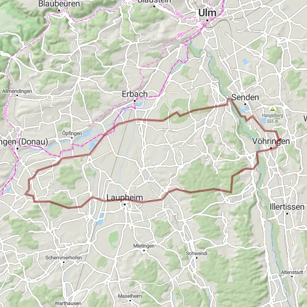
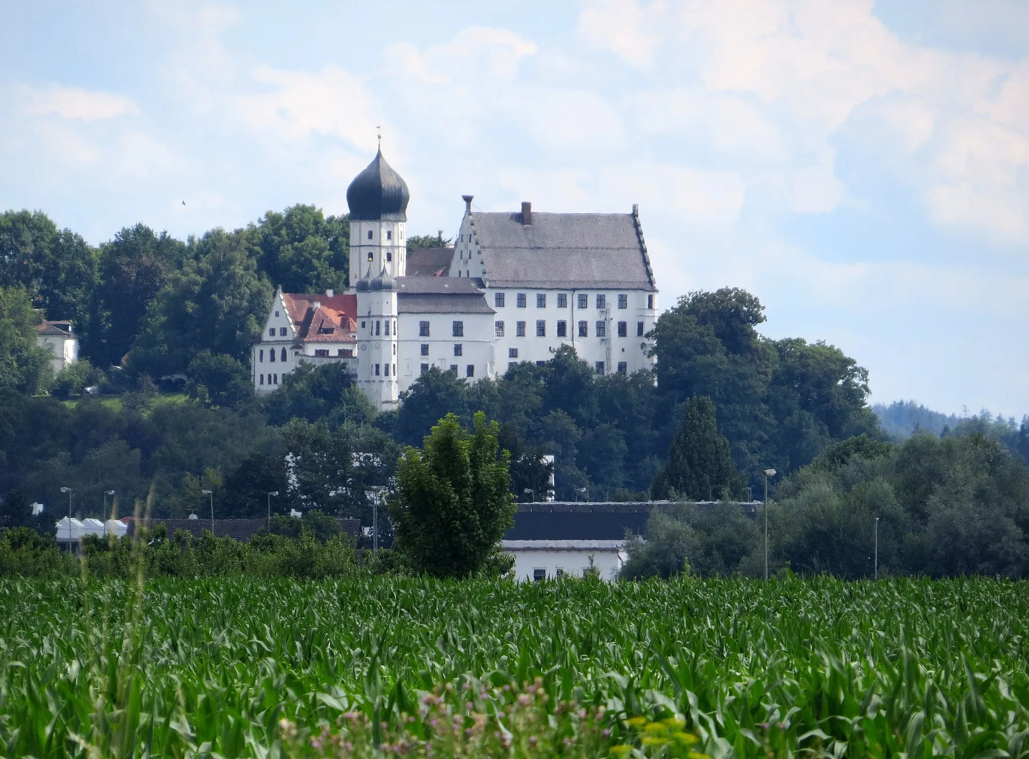
This picturesque gravel route takes you through the beautiful countryside near Vöhringen, Schwaben. Starting from Vöhringen, you will cycle past the historic Burgrieden castle and continue through the charming town of Laupheim. As you pedal further, you'll be amazed by the stunning views of Griesingen and the peaceful atmosphere of Illerzell. The route culminates in the idyllic Lohberg village. With a total distance of 71 kilometers and an ascent of 489 meters, this route offers a great mix of nature, history, and local charm.
Embark on this challenging road cycling route through varied landscapes
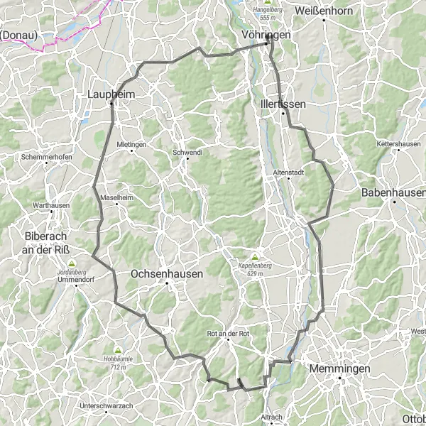
This challenging road cycling route takes you from Illertissen to Illerrieden, passing through picturesque landscapes and towns such as Heimertingen and Laupheim. With a distance of 112 kilometers and an ascent of 897 meters, this route offers a demanding level of difficulty suitable for experienced cyclists. Along the way, you will experience diverse scenery and stunning views.
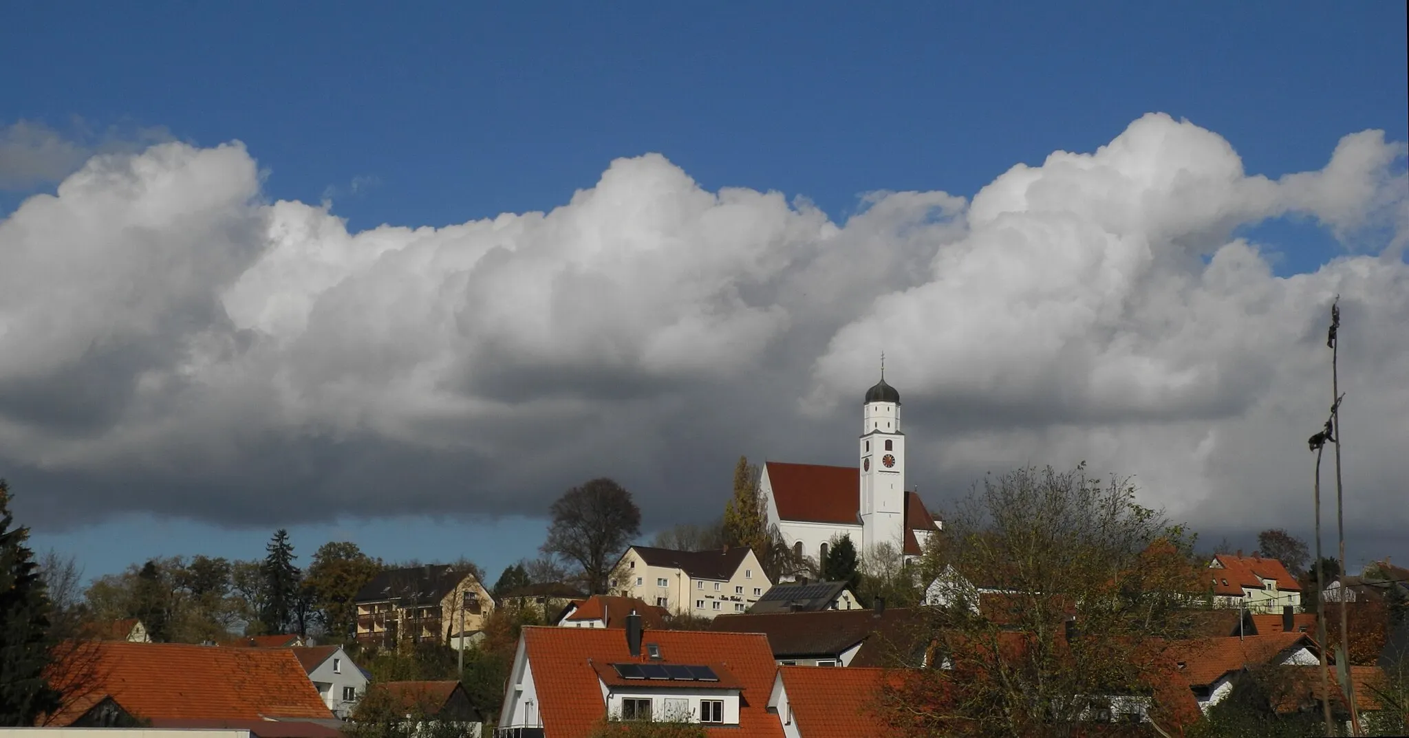
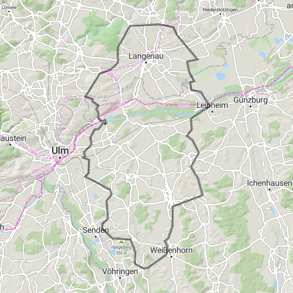
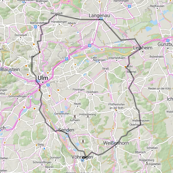
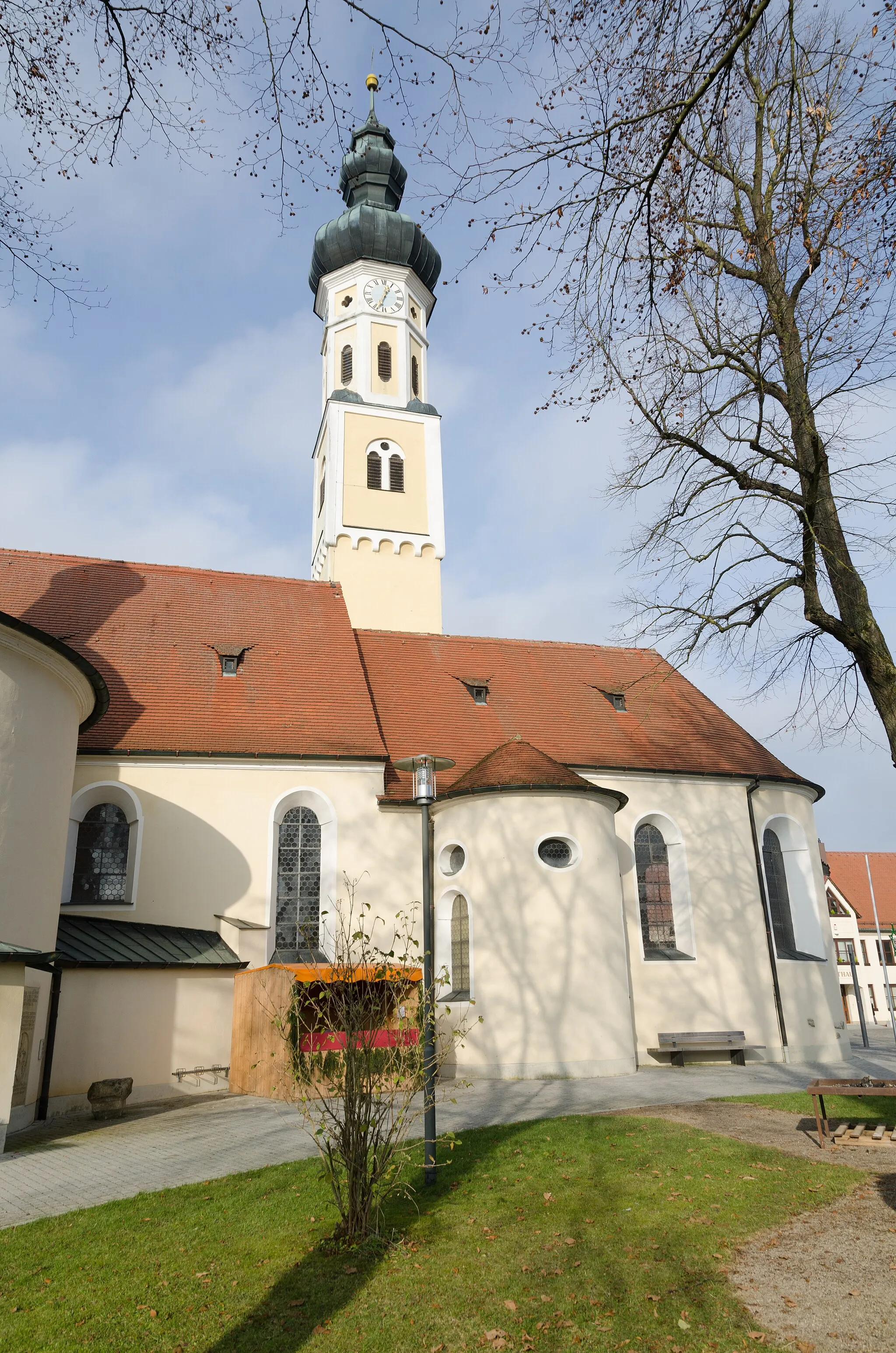
Cycle through the picturesque countryside to the historic town of Weißenhorn.
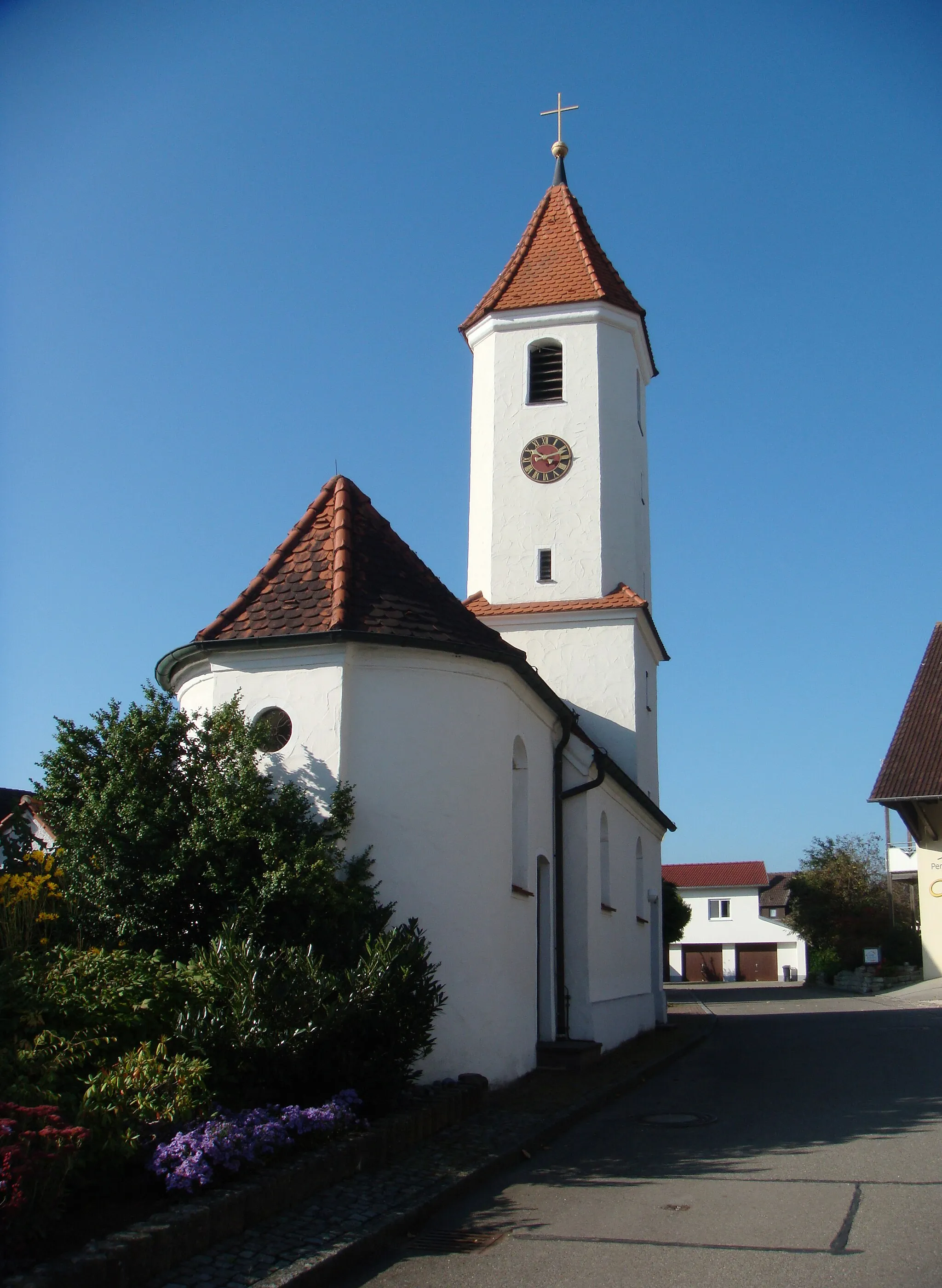
This round trip takes you through the scenic Schwaben countryside to the charming town of Weißenhorn. The route is suitable for road bikes and covers a distance of 56 kilometers with an ascent of 396 meters.
Experience the hilly landscapes of the Günz Valley
Embark on a challenging road cycling adventure through the hilly landscapes of the Günz Valley. With a difficulty level of 4, this route is suitable for experienced amateurs seeking a tougher ride. The epicness of this route is amplified by the numerous highlights along the way.
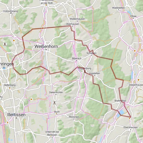
Venture into nature on this exhilarating gravel cycling route
Experience the thrill of gravel cycling as you ride from Roggenburg to Illerberg, passing through natural landscapes and towns such as Breitenthal and Biberachzell. With a distance of 55 kilometers and an ascent of 528 meters, this challenging off-road route is recommended for experienced gravel riders. Along the way, you will be immersed in stunning nature and discover hidden gems.
Explore the countryside on this scenic road cycling route
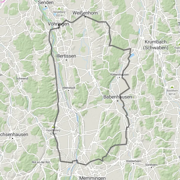
This road cycling route begins in Vöhringen and takes you through beautiful countryside, passing through towns and villages such as Senden and Pfaffenhofen an der Roth. With a total distance of 83 kilometers and an ascent of 475 meters, this route offers a moderate level of difficulty suitable for well-trained amateurs. Along the way, you will enjoy picturesque views and peaceful surroundings.

Discover the scenic beauty of this road cycling route
Embark on a stunning road cycling tour from Dietenheim to Illerrieden, passing through towns and villages such as Schwendi and Warthausen. With a distance of 115 kilometers and an ascent of 885 meters, this route offers a moderate to challenging level of difficulty suitable for experienced cyclists. Along the way, you will be captivated by the picturesque landscapes and charming villages.
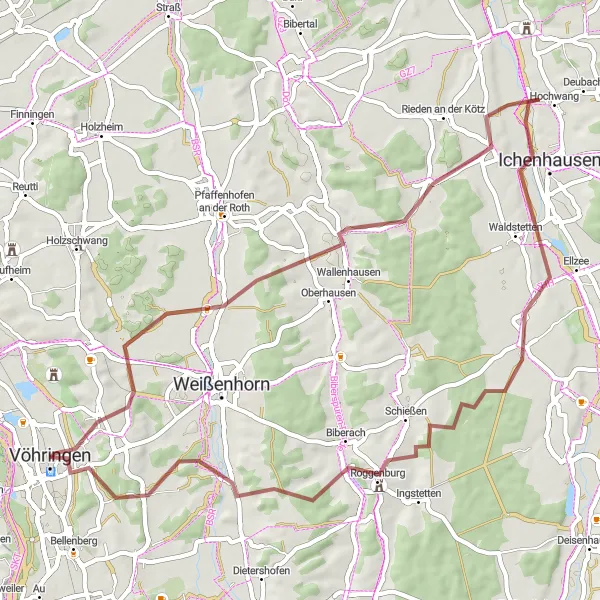
Explore gravel roads and beautiful countryside on this adventurous route
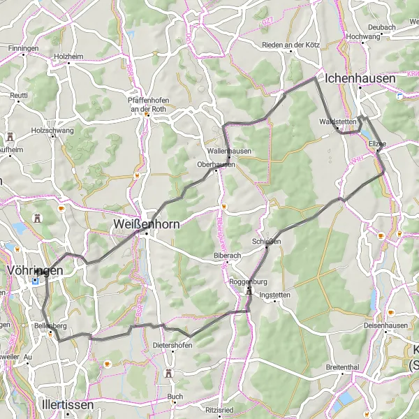
Go on an exciting gravel adventure from Vöhringen to Roggenburg, passing through scenic landscapes and towns such as Autenried and Ichenhausen. With a total distance of 56 kilometers and an ascent of 475 meters, this off-road route offers a moderate level of difficulty suitable for gravel enthusiasts. Along the way, you will discover stunning nature and charming villages.
Vöhringen - Bollingen Round Trip
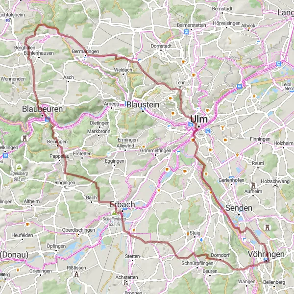
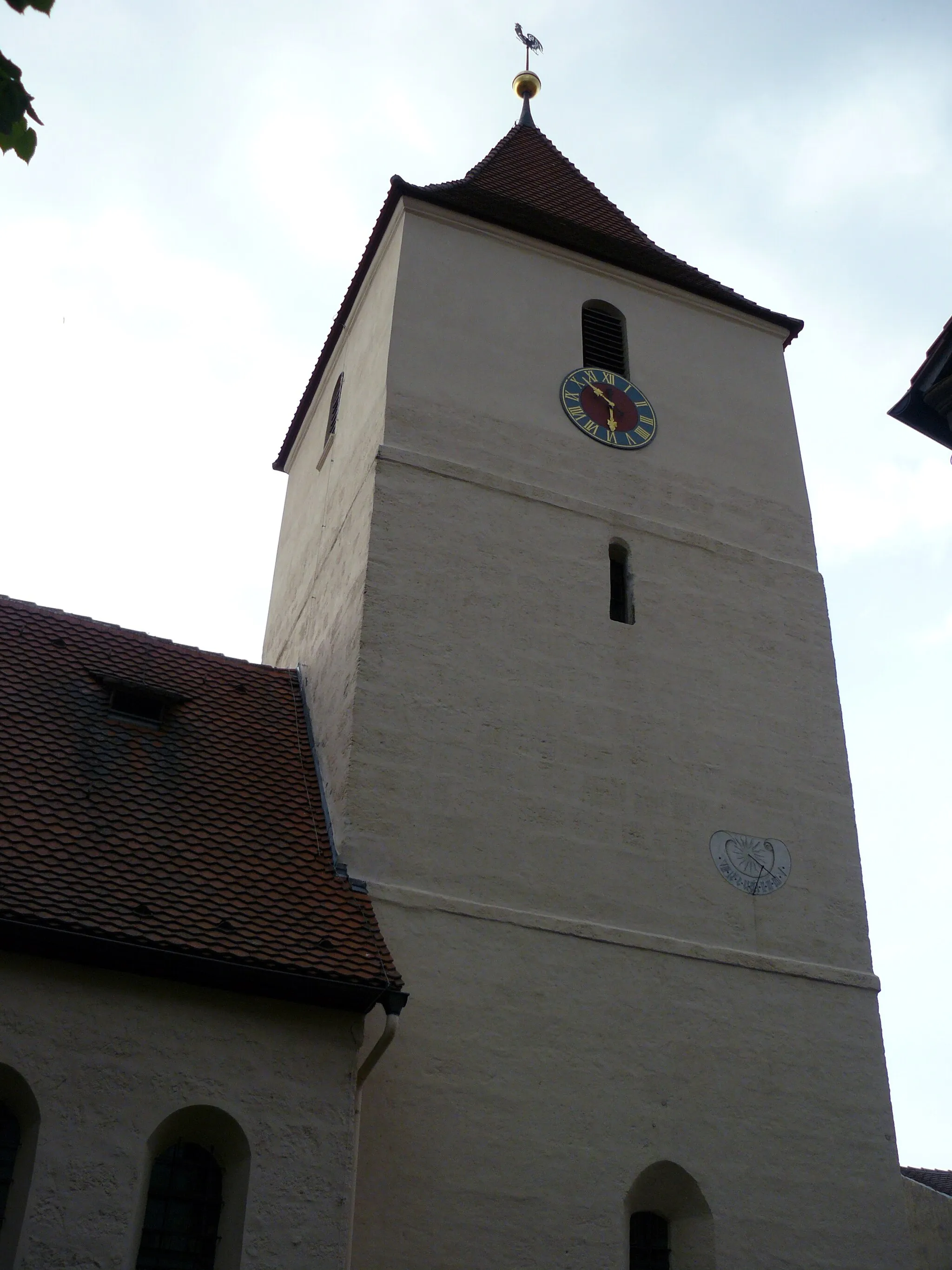
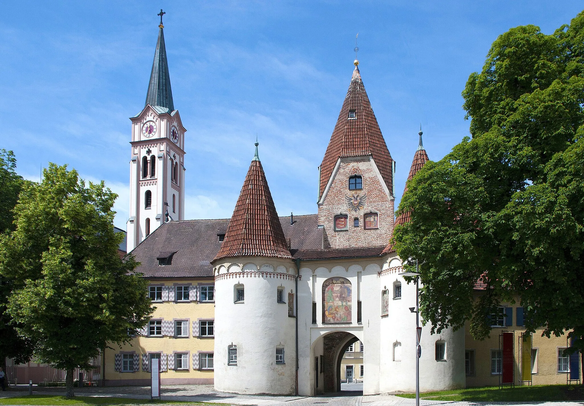
Experience the historic city walls of Vöhringen and the picturesque village of Bollingen.
This round trip takes you through the scenic landscape of Schwaben, with highlights including the historic city walls of Vöhringen and the quaint village of Bollingen. The route is suitable for gravel bikes and covers a distance of 87 kilometers with an ascent of 865 meters.
Cycle through the footsteps of history
Embark on an adventure through time as you explore historic castles and fortresses along this road loop. Suitable for experienced amateurs, this route offers a rewarding cycling experience. With various highlights along the way, the epicness of the journey is enhanced.
Cycling routes nearby:

Nearby regions: