Cycling haven in beautiful Stuttgart, Germany
Cycling routes from Bolheim
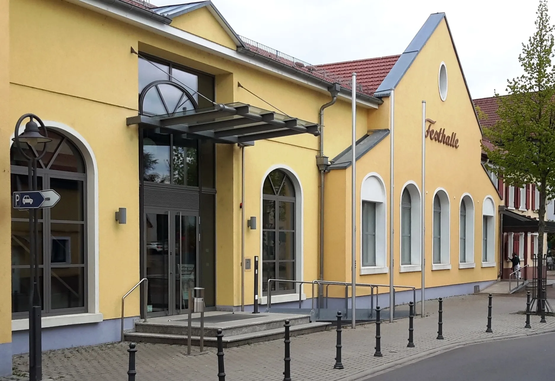
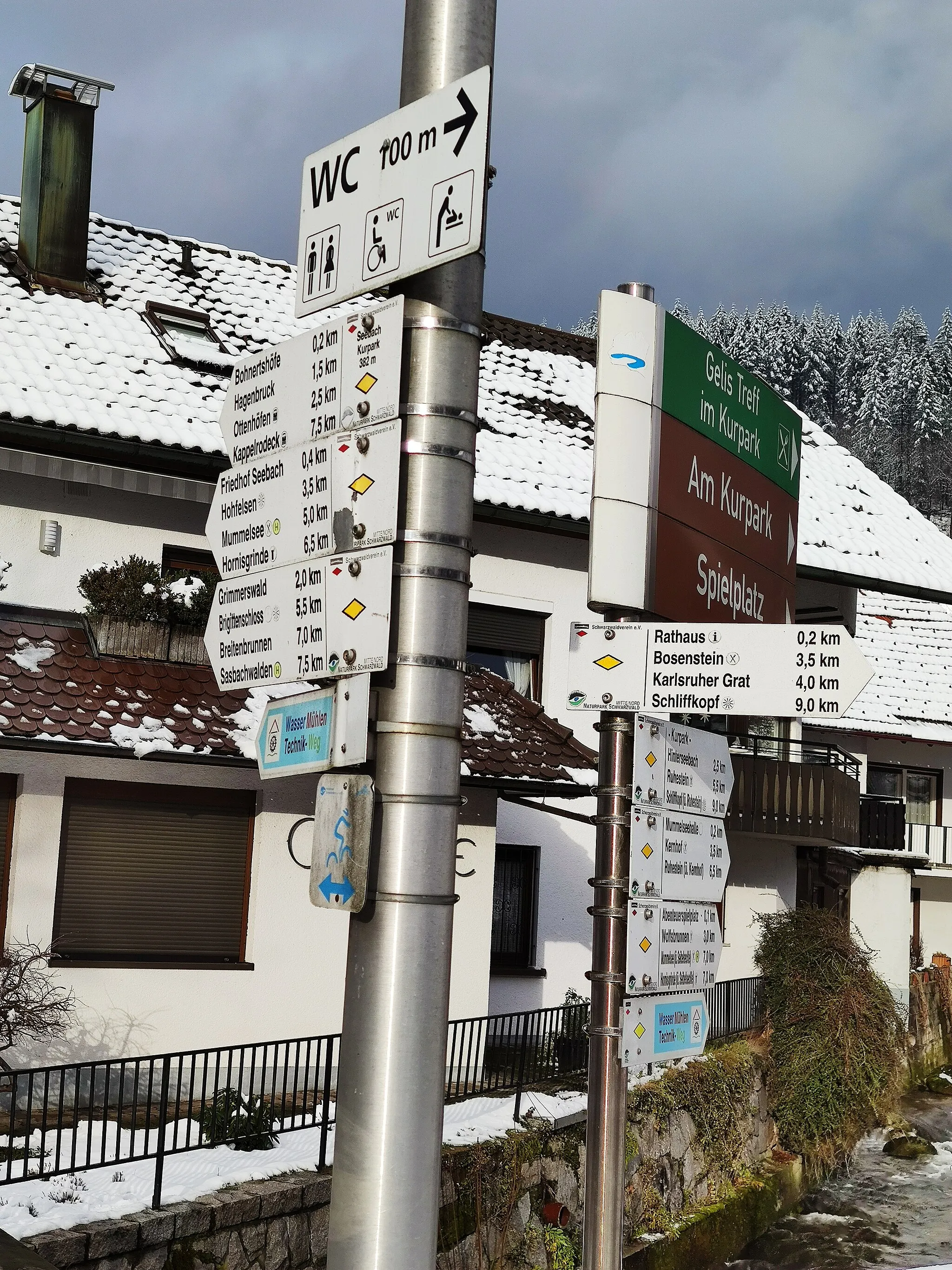
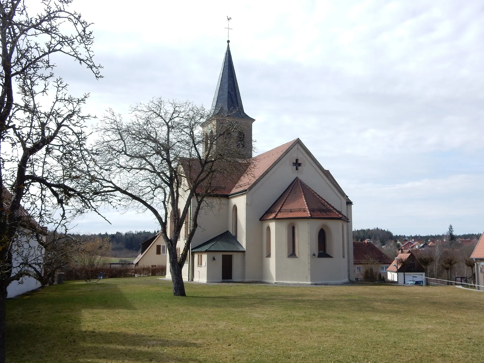
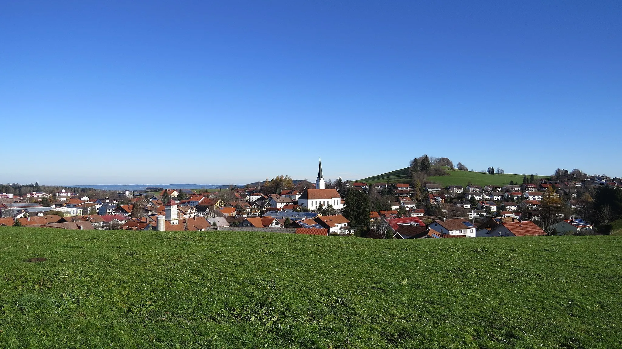
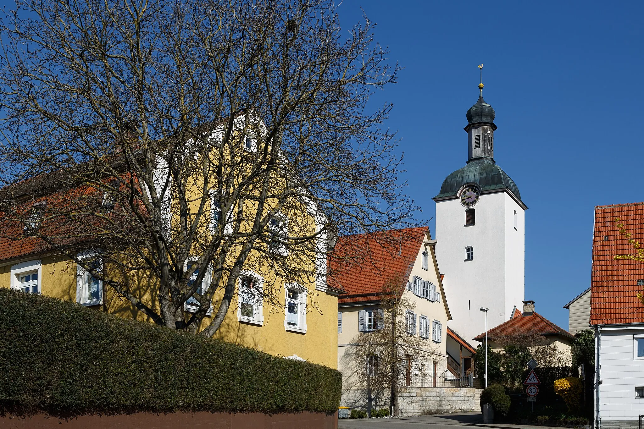
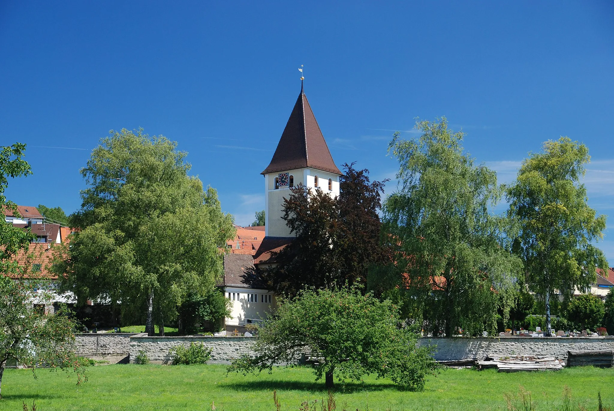
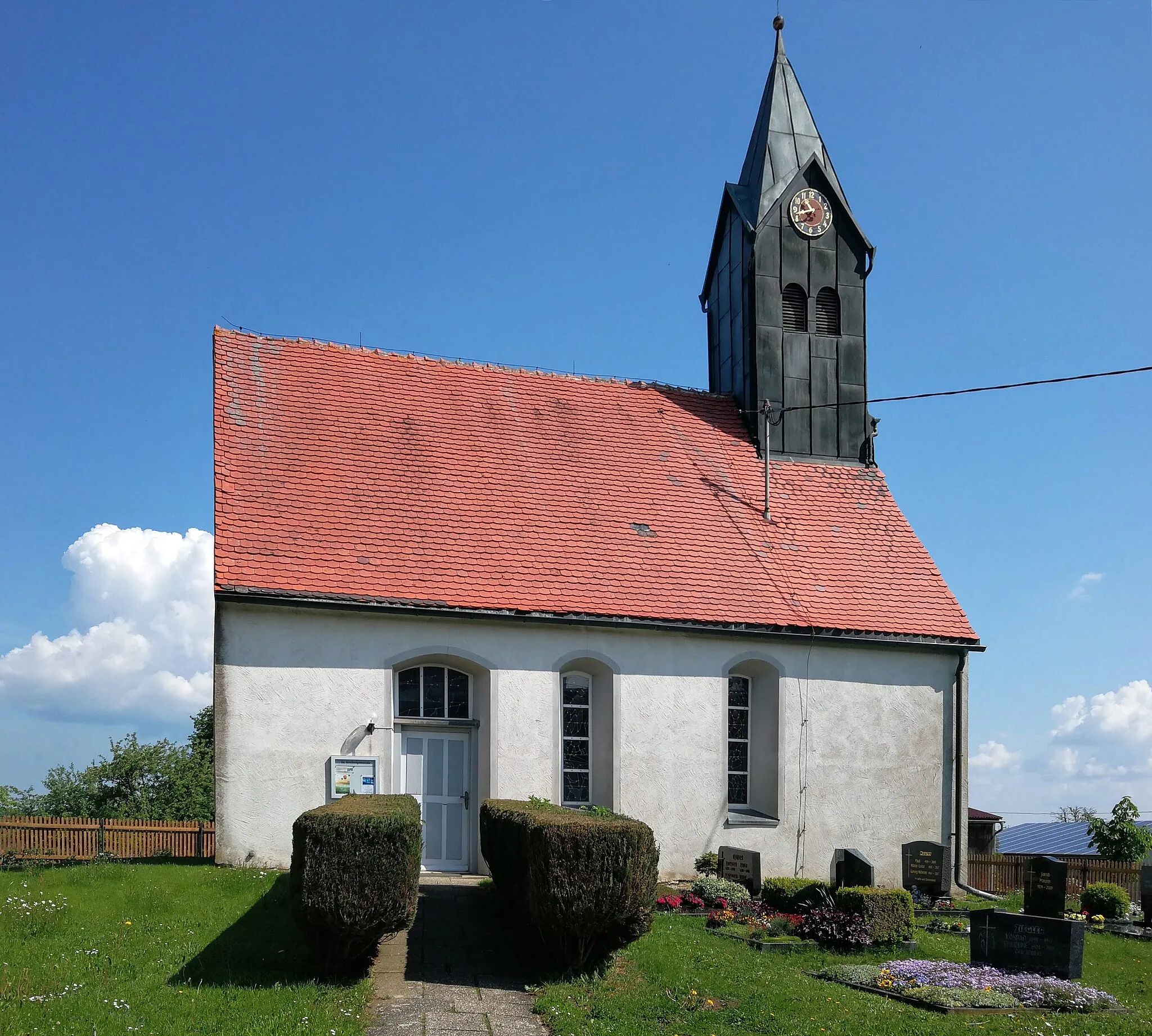
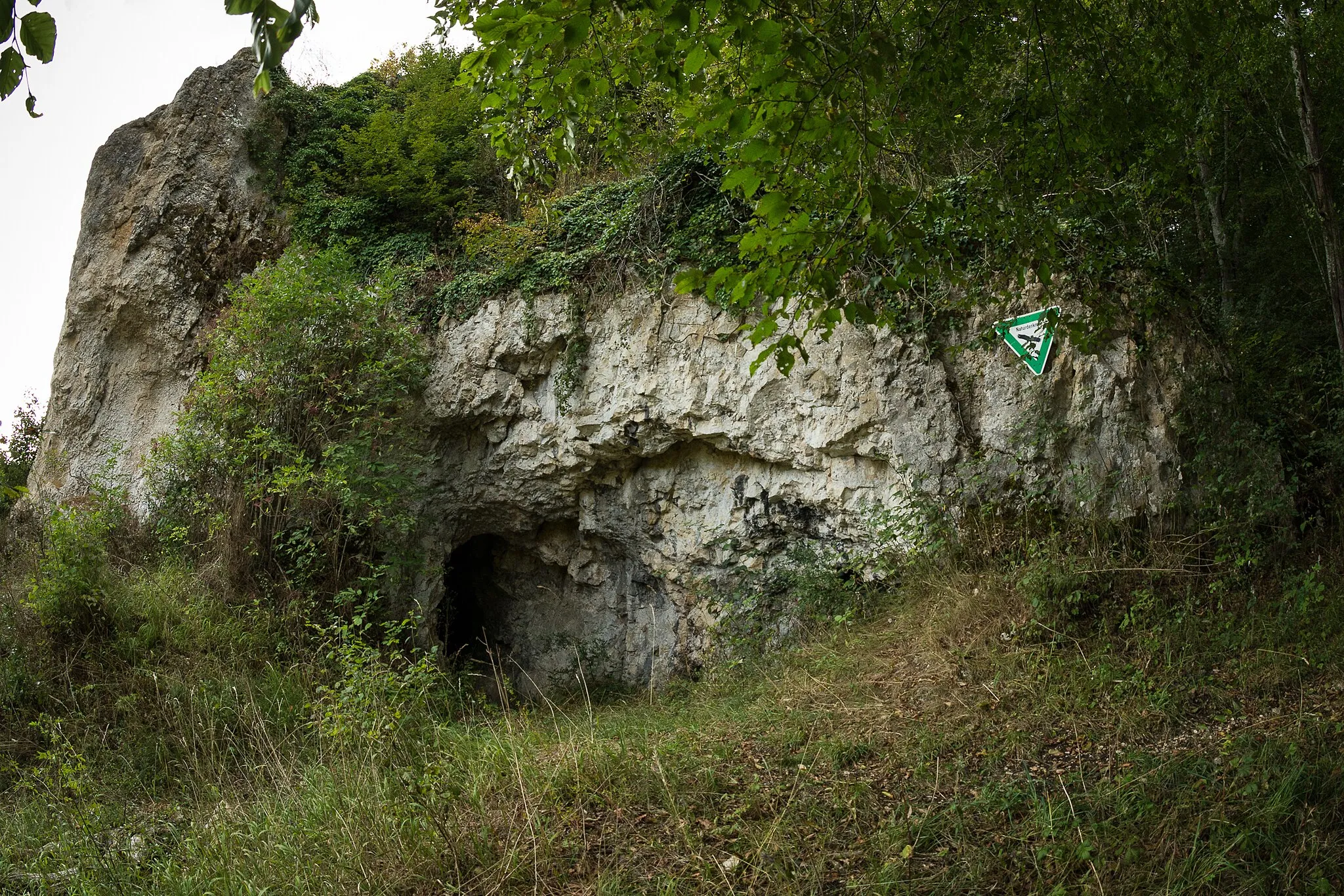
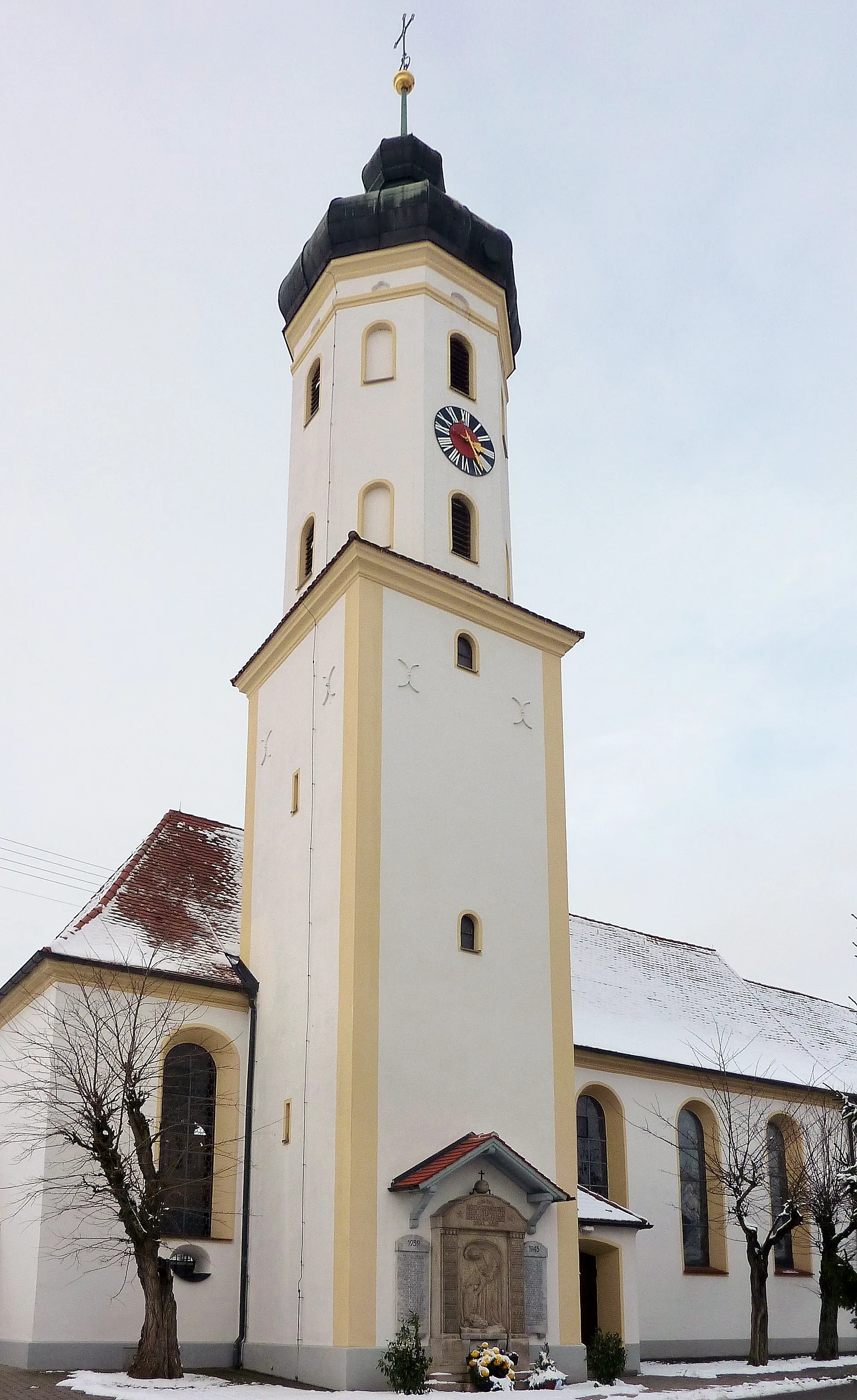
Bolheim is a locality in the Stuttgart region of Germany. As a cyclist, you'll find well-maintained roads and a variety of cycling routes in and around Bolheim. Whether you prefer scenic country roads or challenging climbs, Bolheim has something for everyone. One of the famous cycling spots nearby is the Albtrauf, which offers breathtaking views and adrenaline-pumping descents. The area is also home to many biking events and races, attracting cyclists from all over. With its cyclist-friendly infrastructure and diverse terrain, Bolheim is a top choice for road and gravel cyclists.
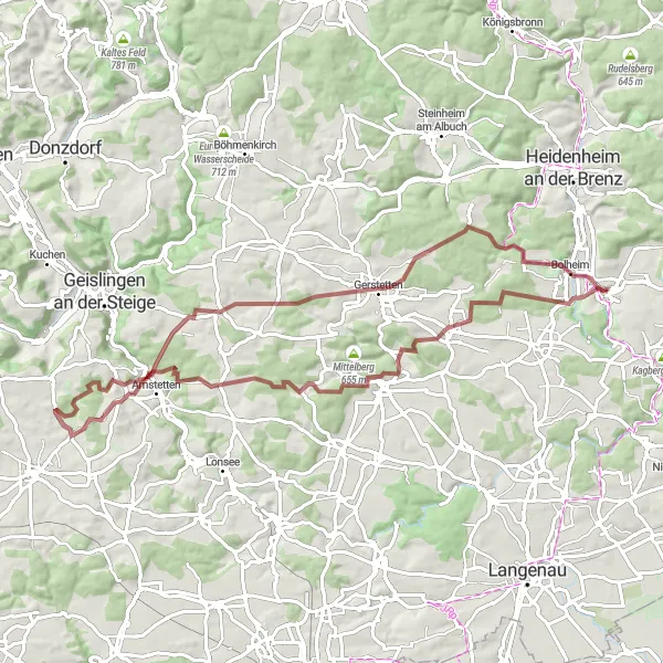
Albuch Adventure
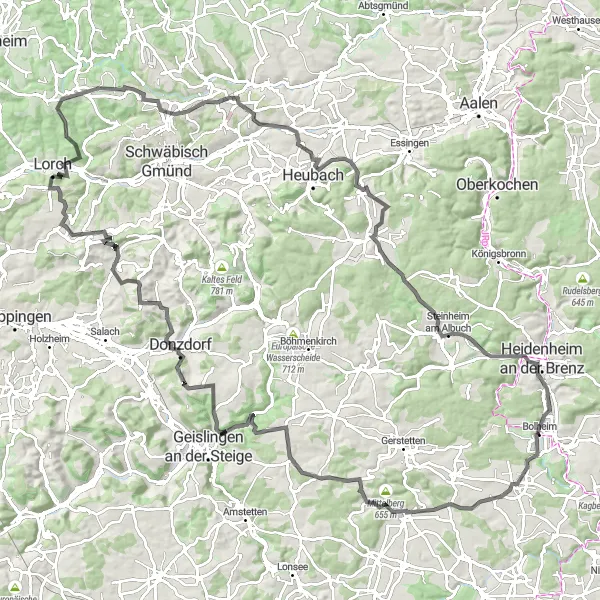
Embark on an adventurous journey through the Albuch region and discover its hidden gems
Experience the thrill of cycling through the Albuch region on this challenging road cycling route. With a total ascent of 1,822 meters and covering a distance of 130 kilometers, this route will push your limits. From historic landmarks to breathtaking vistas, this epic route has it all.
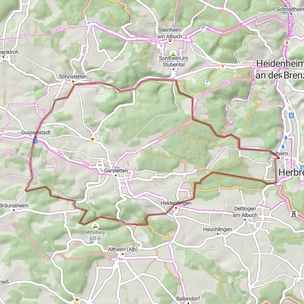
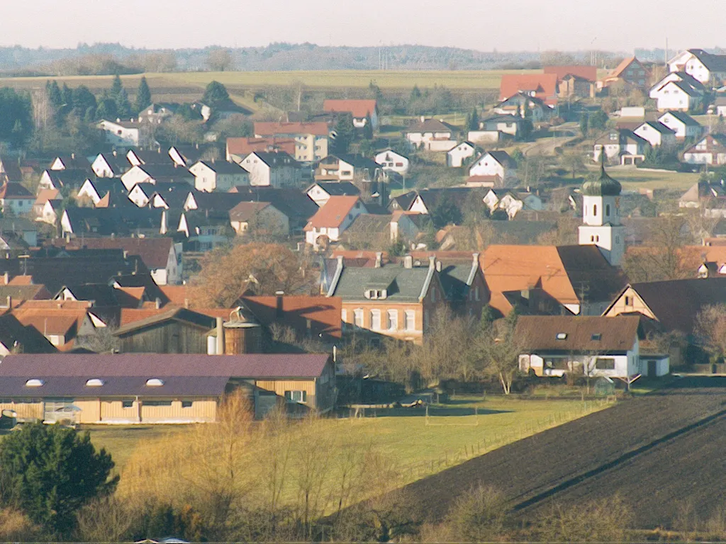
Gussenstadt Loop
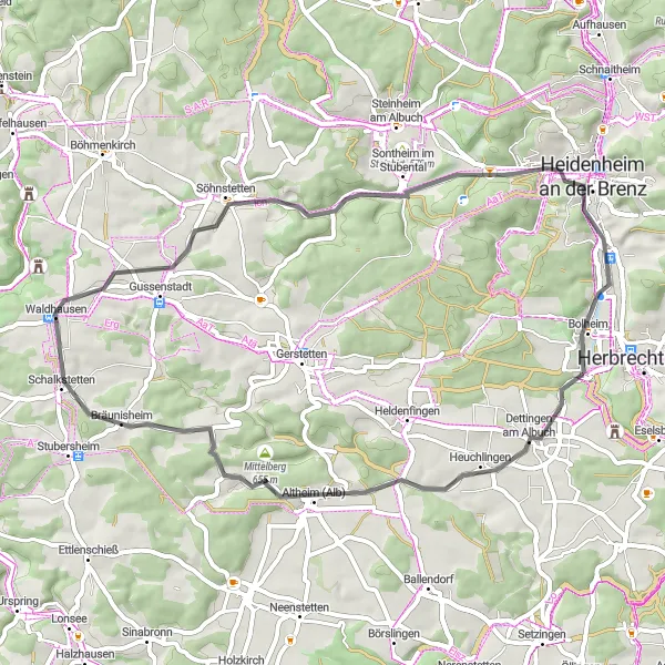
Cycle through the peaceful village of Gussenstadt and discover hidden gems along the way
Embark on a leisurely 52-kilometer road cycling route through the idyllic countryside surrounding Gussenstadt. With a total ascent of 567 meters, this route offers a perfect balance between scenic beauty and moderate challenges. Explore historic landmarks, charming towns, and natural wonders on your journey.
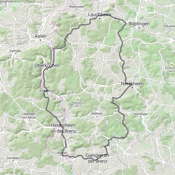
Dettingen Loop
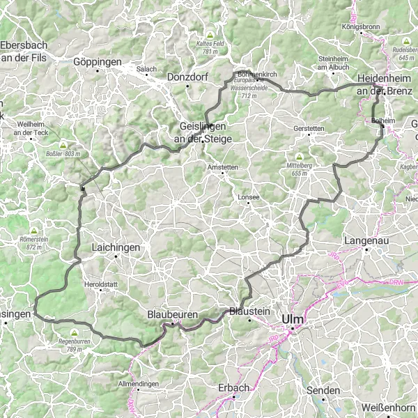
Explore the charming town of Dettingen and enjoy the beautiful Albuch region
Embark on this scenic cycling route that takes you through the picturesque Albuch region. Challenge yourself with a total ascent of 1,750 meters and cover a distance of 155 kilometers. This road cycling route offers breathtaking views, charming villages, and historic landmarks along the way.
The Brenz River Trail
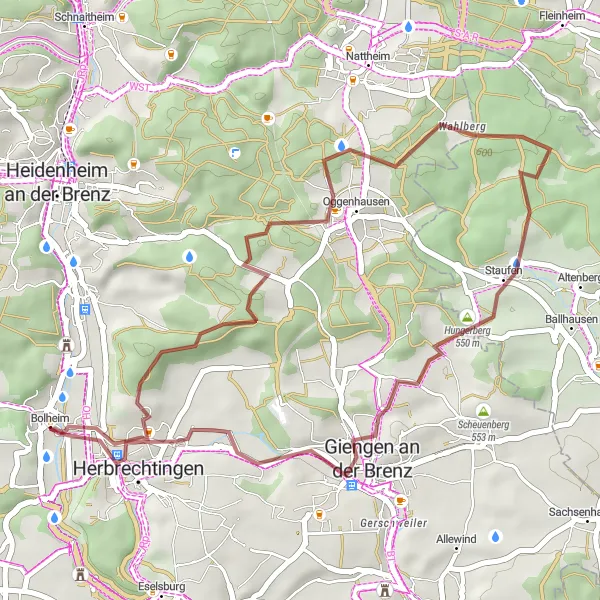
Follow the scenic Brenz River and explore charming towns
Cycle along the banks of the picturesque Brenz River on this gravel route. With a total distance of 36 kilometers and an ascent of 424 meters, this route is suitable for intermediate-level amateur cyclists. Enjoy the tranquility of the river as you pass through charming towns with historic architecture.
Embark on a thrilling cycling adventure in Heidenheim an der Brenz and explore its diverse landscape
Get ready for an exciting 94-kilometer road cycling adventure through the diverse landscapes of Heidenheim an der Brenz. With a total ascent of 1,288 meters, this route is perfect for experienced cyclists looking for a challenge. Discover historic landmarks, picturesque villages, and stunning viewpoints along the way.
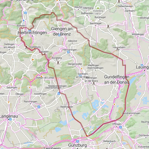
The Donau Round Trip
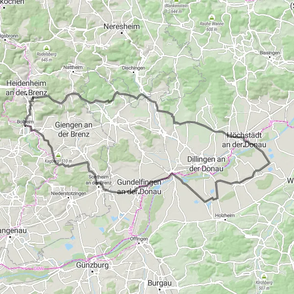
Discover the beautiful landscapes along the Danube River
Experience the breathtaking beauty of the Danube River on this round-trip cycling route. The route starts near Bolheim and takes you through picturesque towns and villages, offering stunning views of the surrounding countryside. With a total distance of 96 kilometers and an ascent of 567 meters, this route is suitable for well-trained amateur cyclists.
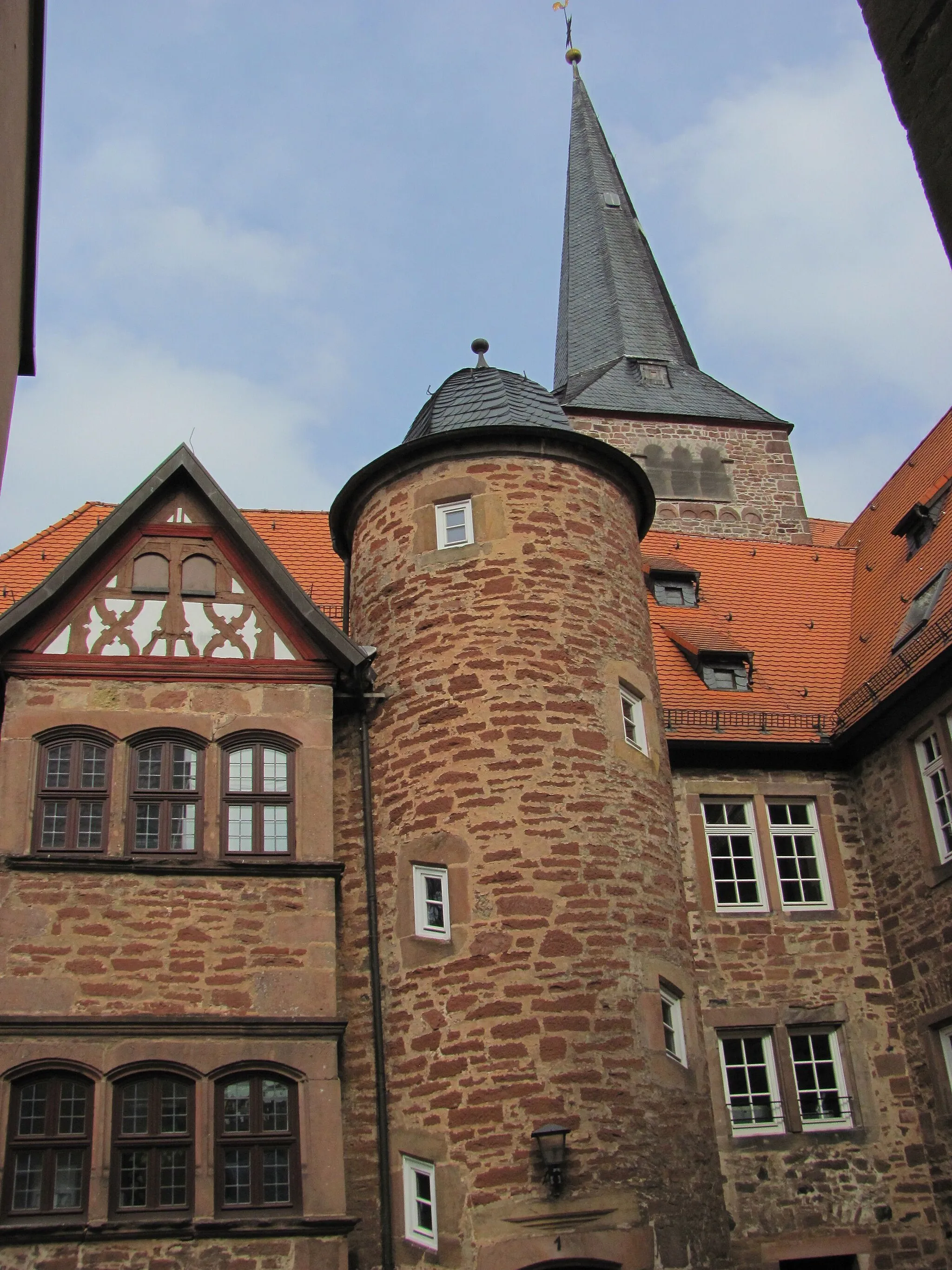
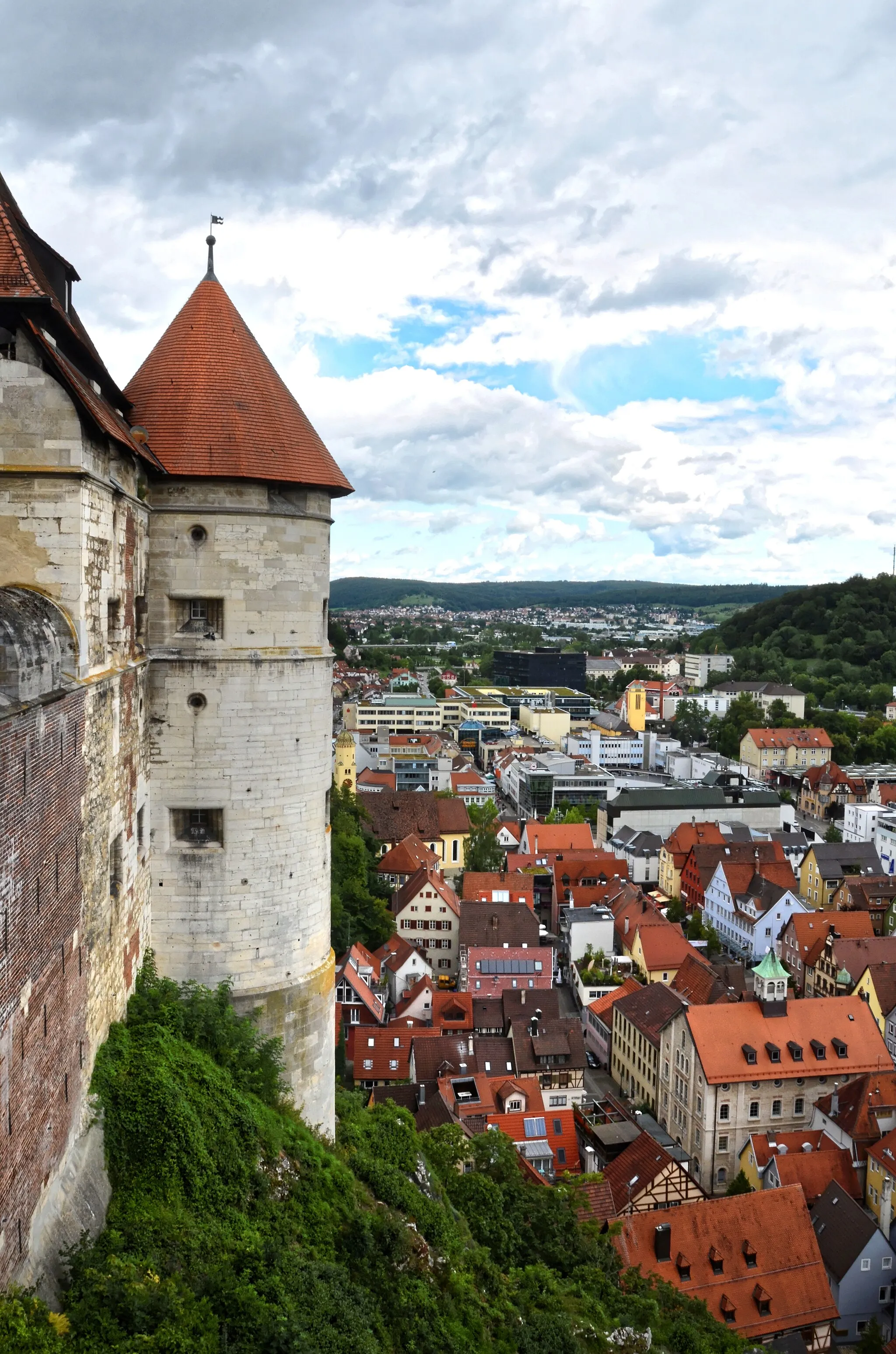
The Hilltop Castles Route
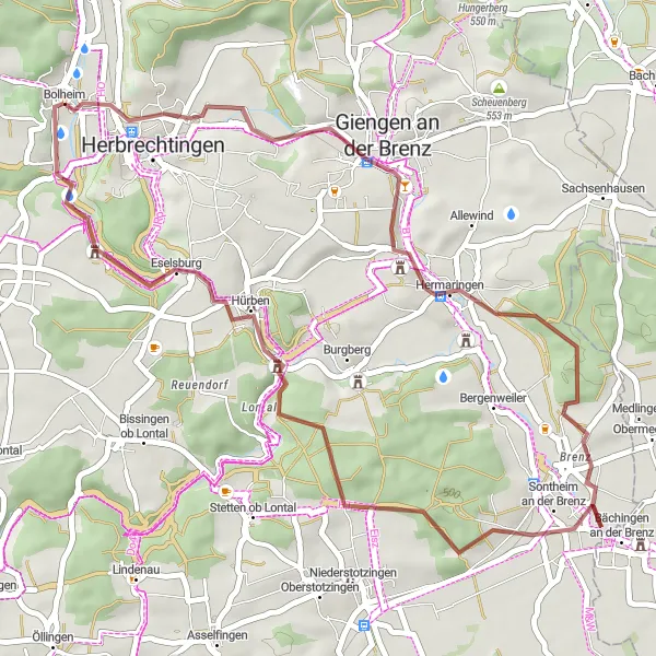
Explore ancient castles and enjoy stunning hilltop views
Discover the charm of the region on this scenic gravel route that takes you to several hilltop castles. With a total distance of 40 kilometers and an ascent of 429 meters, this route is suitable for intermediate-level amateur cyclists. Enjoy panoramic views of the surrounding countryside and explore the rich history of the area.
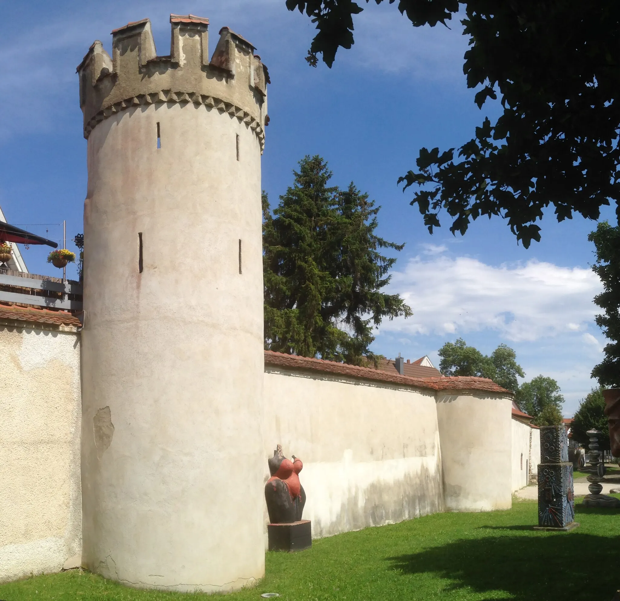
The Castle Trail
Indulge in the region's castle heritage
Immerse yourself in the castle heritage of the region on this gravel route. With a total distance of 67 kilometers and an ascent of 570 meters, this route is suitable for well-trained amateur cyclists. Discover medieval castles, picturesque landscapes, and charming villages along the way.
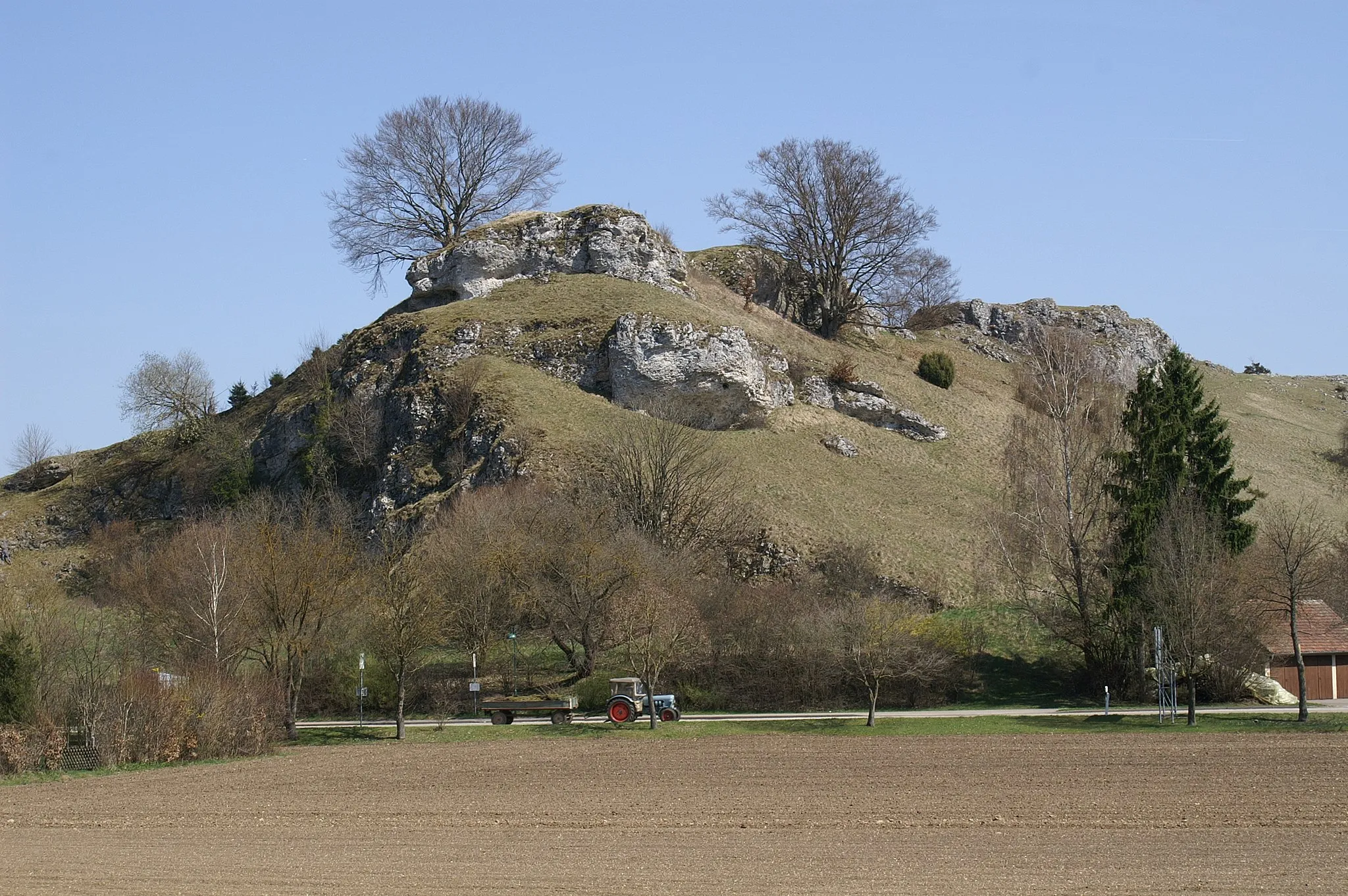
Embark on an epic gravel adventure across the Alb Plateau
Experience the thrill of gravel cycling on this adventurous route across the Alb Plateau. With a total distance of 74 kilometers and an ascent of 1009 meters, this route is suitable for experienced and well-trained amateur cyclists. The route takes you through rugged terrain and offers stunning views of the scenic landscape.
Gussenstadt Gravel Loop
Embrace the challenge of a gravel cycling adventure through Gussenstadt's rugged terrain
For those seeking an off-road thrill, this 45-kilometer gravel cycling route in Gussenstadt is the perfect choice. With a total ascent of 670 meters, this route combines challenging trails with scenic beauty. Discover hidden gems and untouched landscapes as you ride through the heart of nature.
Cycling routes nearby:
Nearby regions: