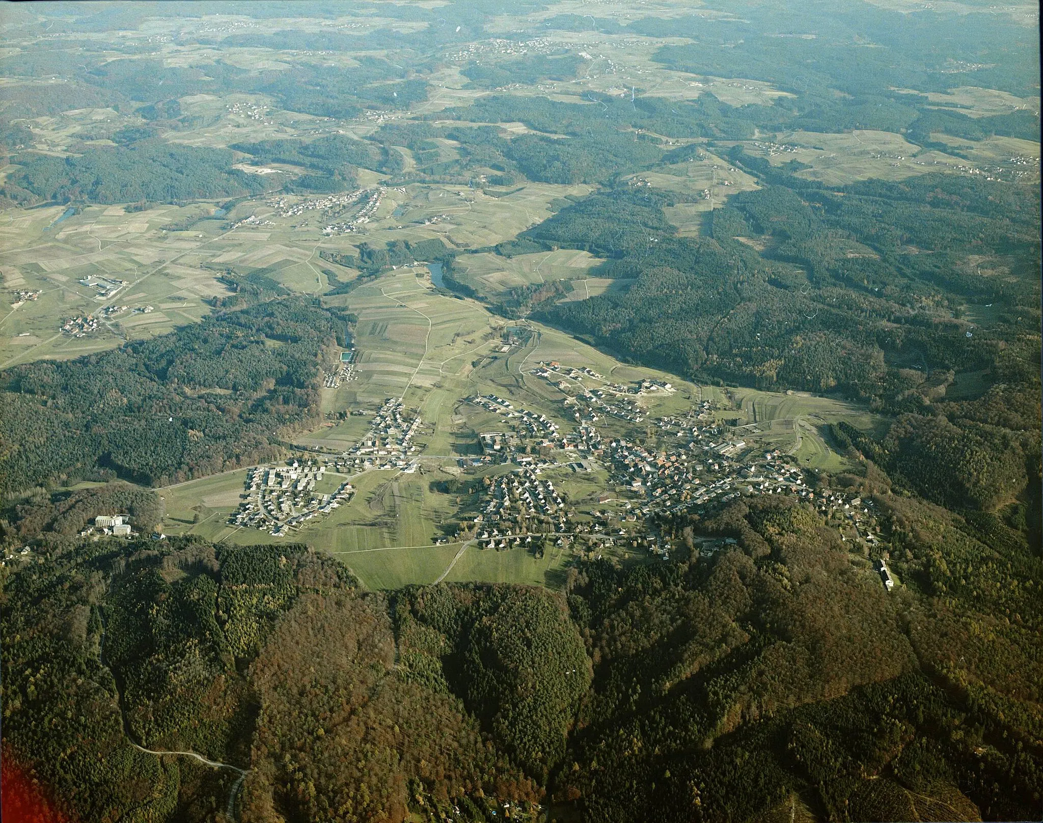
Discover hidden climbs and picturesque routes in the Swabian region from Großerlach.
Cycling routes from Grosserlach
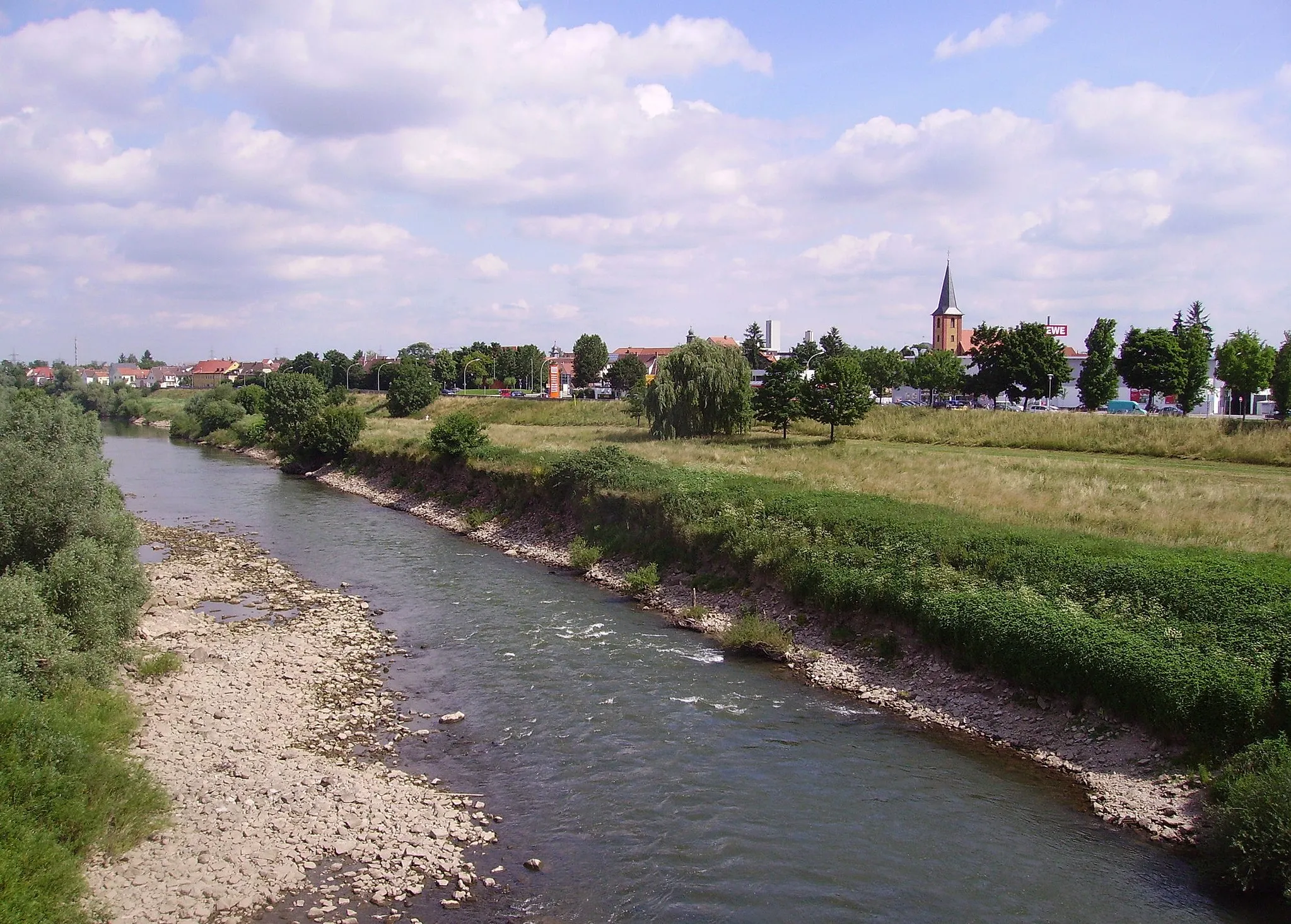
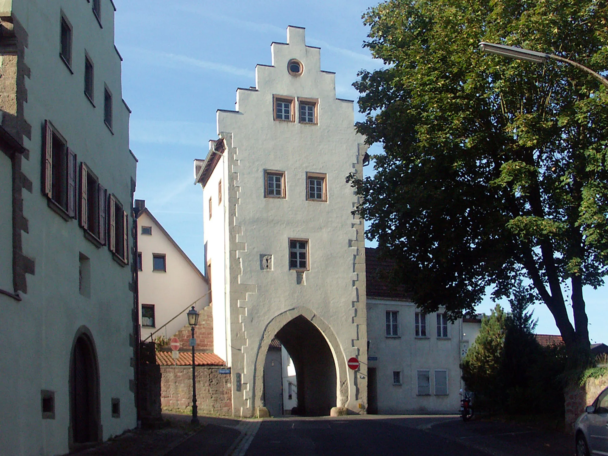
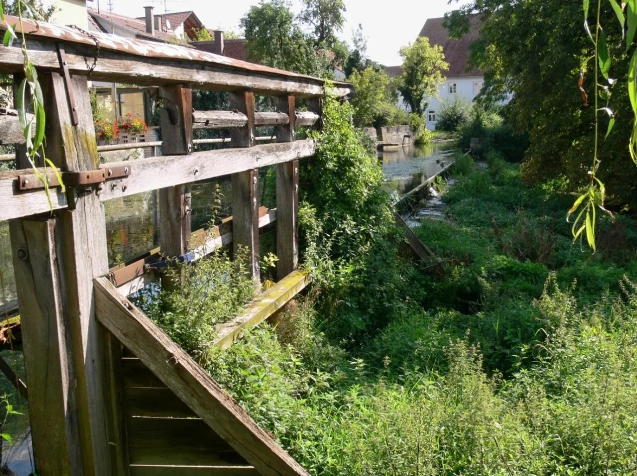
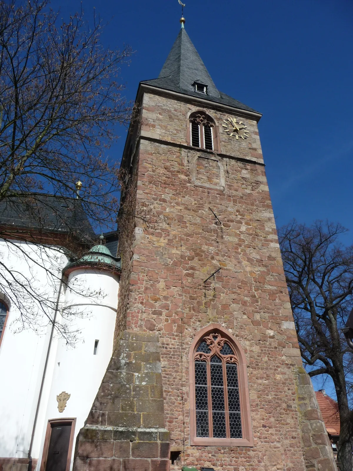
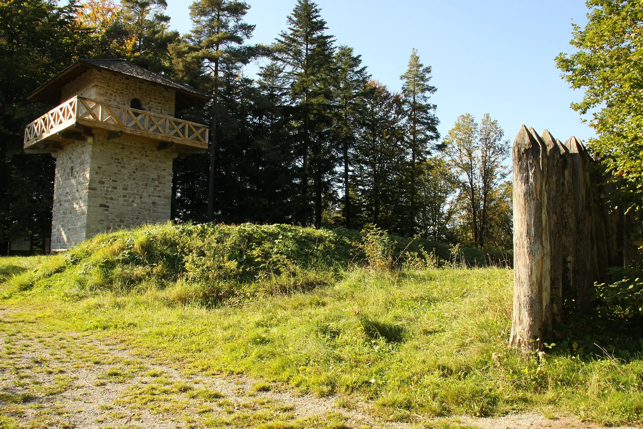
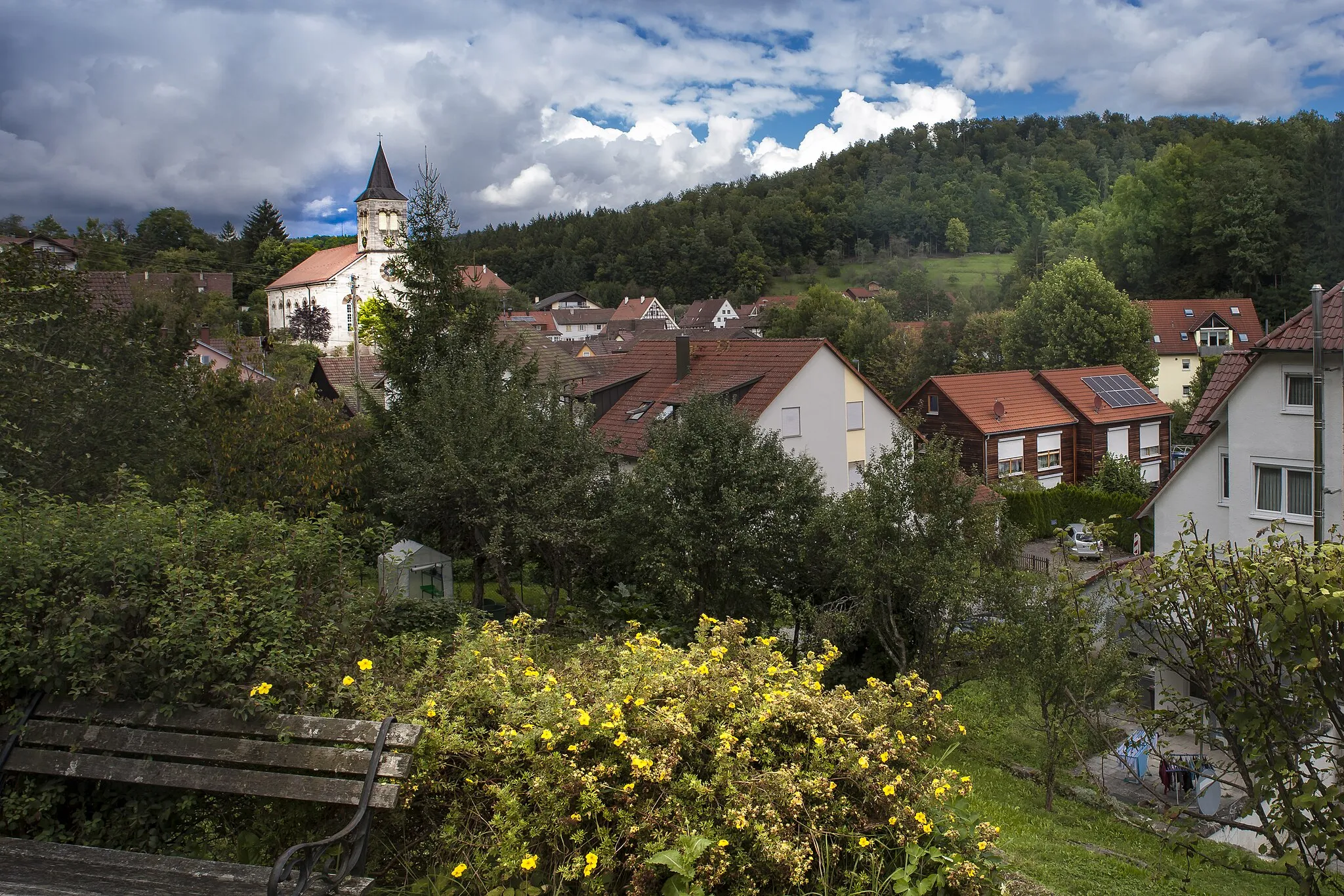
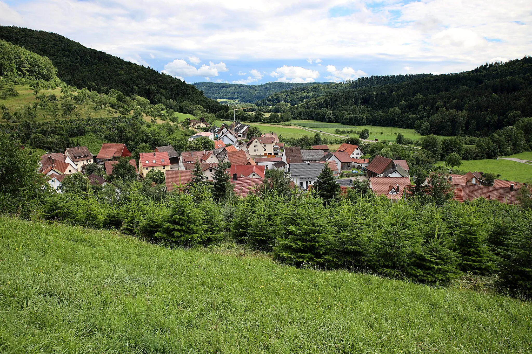
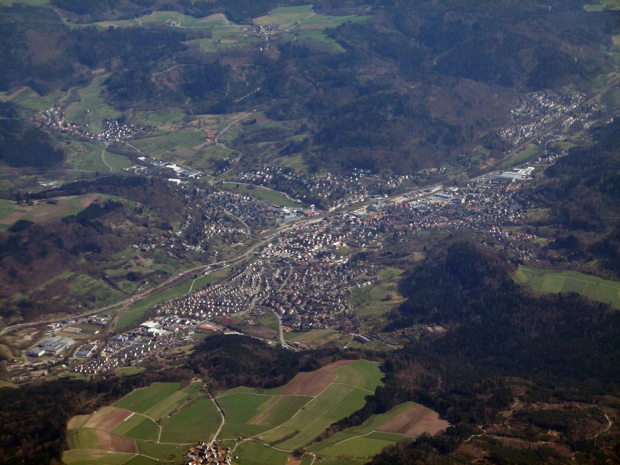
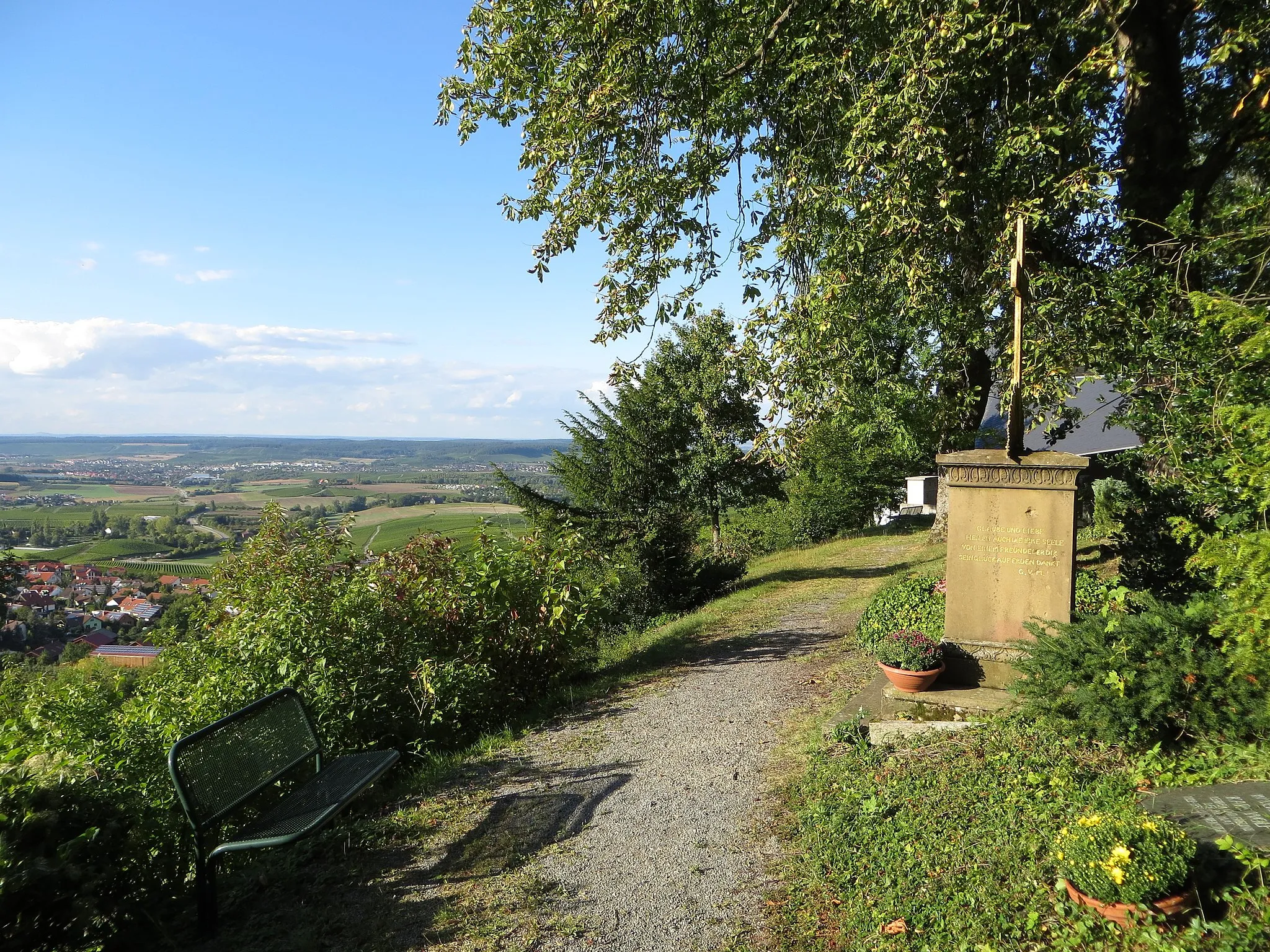
Großerlach, nestled in the Stuttgart region of Germany, is a hidden gem for road and gravel cyclists. The area offers a mix of challenging climbs and scenic routes, making it suitable for cyclists of various skill levels. Cyclists can enjoy the picturesque views of green valleys and rolling hills, with several well-known climbs like Spatzenhau and Wanneberg nearby. Großerlach also has a variety of accommodation options and cycling-friendly amenities, making it a great base for cyclists exploring the beautiful Swabian region.
Embark on an epic gravel adventure exploring the Großerlach area
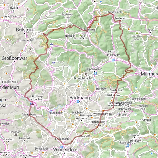
Prepare for an epic gravel adventure through the scenic Großerlach area. With a challenging ascent of 1451 meters and a distance of 76 kilometers, this route is suited for experienced gravel riders seeking a thrilling challenge. This route incorporates iconic highlights such as the Altenberg viewpoint, offering breathtaking panoramic views of the surrounding landscapes. Allmersbach im Tal, Hörnle, and Rielingshausen are among the picturesque stops throughout the journey, each offering its unique charm. As you ride through Grießberg, Bräunersberg, and Spiegelberg, you'll witness the stunning beauty of the Großerlach region. Kleinerlach serves as the exciting endpoint, displaying tranquility amidst nature's splendor. This gravel adventure offers an unforgettable experience for those seeking an epic cycling journey.
Go on an exciting gravel adventure near Großerlach
This gravel cycling route near Großerlach takes you through scenic landscapes and hidden gems. With a moderate to challenging difficulty rating, it is suitable for experienced gravel cyclists. The route covers a total distance of 60 km with an ascent of 1072m. Epicness rating: 4.
Charming Road Cycling
Experience the charm of road cycling near Großerlach
This road cycling route near Großerlach showcases the charm of the region with its beautiful landscapes and cultural attractions. With a moderate difficulty rating, it is suitable for well-trained amateur cyclists. The route covers a total distance of 72 km with an ascent of 894m. Epicness rating: 3.
Scenic Road Tour
Embark on a scenic road tour around Großerlach
This road cycling route near Großerlach takes you through picturesque countryside and charming villages. With a moderate difficulty rating, it is suitable for well-trained amateur cyclists. The route covers a total distance of 57 km with an ascent of 953m. Epicness rating: 3.
Explore the highlights of Großerlach by bike
This cycling route near Großerlach takes you through scenic landscapes and fascinating attractions. With a moderate difficulty rating, it is suitable for well-trained amateur cyclists. The route covers a total distance of 69 km with an ascent of 1176m. Epicness rating: 4.
Embark on a picturesque gravel tour near Großerlach
This gravel cycling route near Großerlach takes you through stunning natural landscapes and picturesque villages. With a moderate to challenging difficulty rating, it is suitable for experienced gravel cyclists. The route covers a total distance of 71 km with an ascent of 1240m. Epicness rating: 4.
Mainhardt Hunting Lodge Loop
Explore the scenic Mainhardt region on this road cycling route
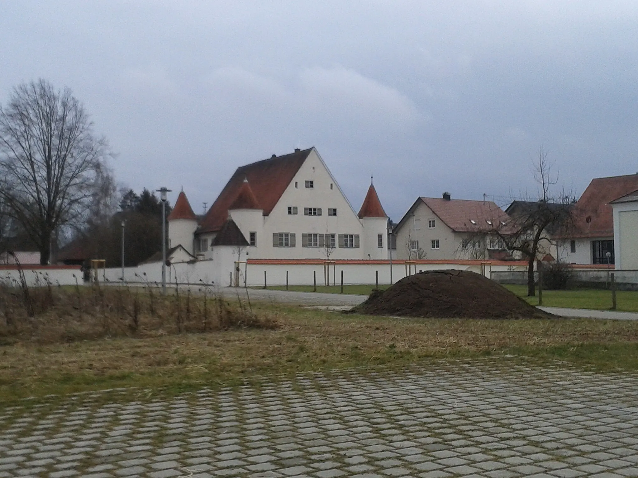
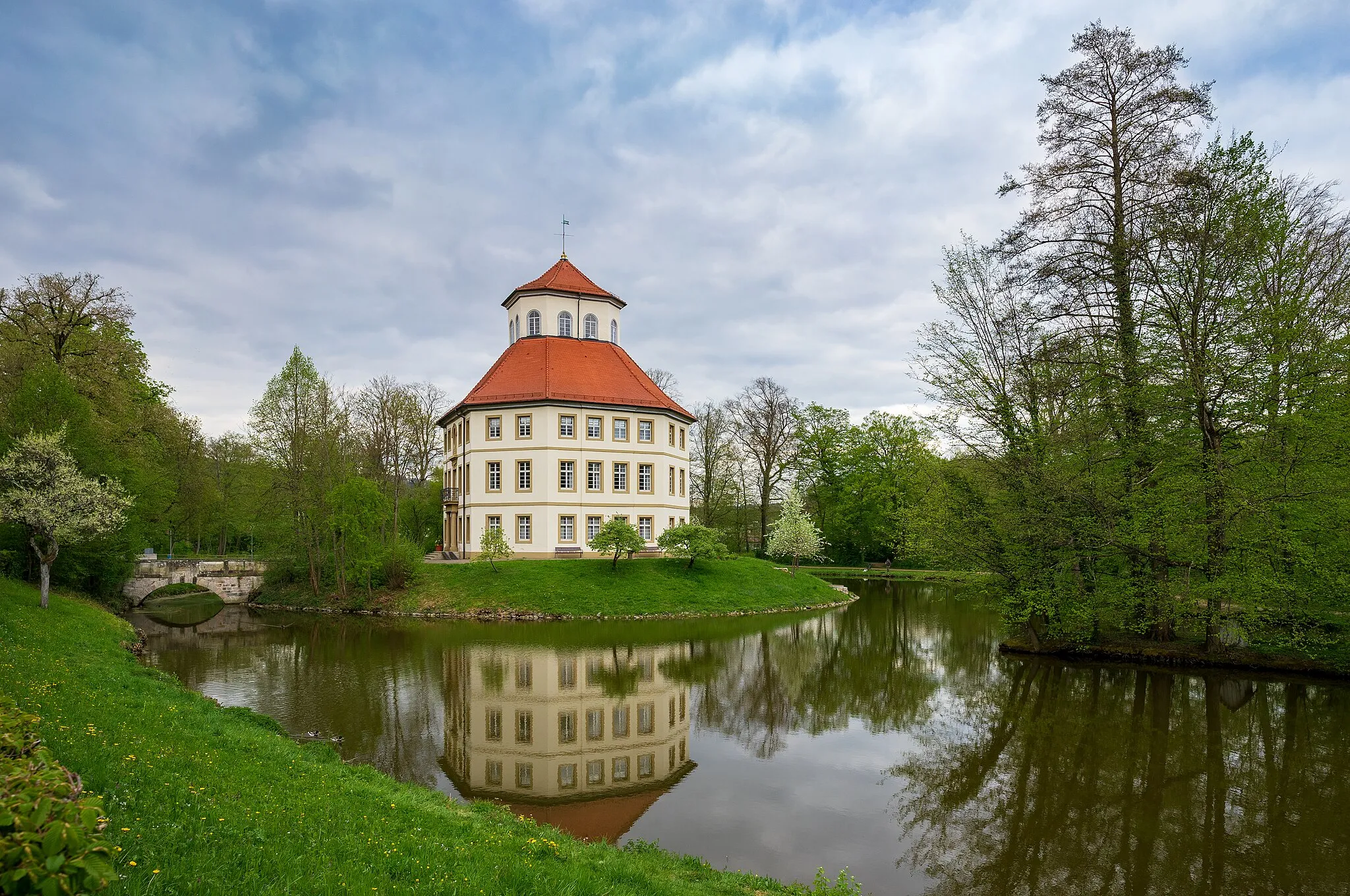
This road cycling route takes you through the picturesque Mainhardt region, known for its rolling hills and charming landscapes. With a moderate ascent of 550 meters over a distance of 37 kilometers, this loop offers a challenging workout for well-trained amateurs. As you ride, you'll pass by the iconic Jagdschloss Mainhardt, a historic hunting lodge that showcases architectural beauty. The route also includes stops at Michelfeld, Hohe Brach, and Kleinerlach, each offering its unique charm and scenic views. Overall, this route provides a great opportunity to immerse in nature and experience the beauty of the Mainhardt region.
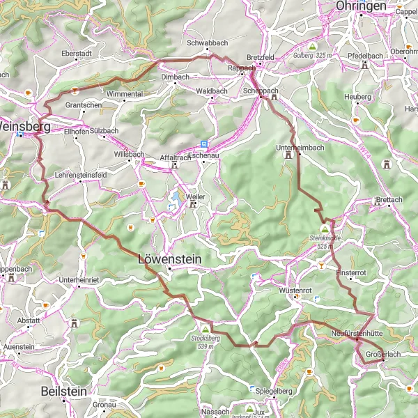
Experience a diverse road cycling loop from Wüstenrot to Altfürstenhütte
This road cycling loop takes you on a diverse journey from Wüstenrot to Altfürstenhütte. With a moderate ascent of 789 meters over a distance of 51 kilometers, this route is well-suited for intermediate riders. Along the way, you'll encounter various highlights, including the iconic Schloss Öhringen, known for its historical significance. The Tanzlinde, a centuries-old lime tree, adds a touch of natural beauty to the route. Michelbach am Wald, Mainhardt, and Altfürstenhütte are other noteworthy stops that enrich the overall cycling experience. This route offers a balanced mix of scenic landscapes, cultural attractions, and historical landmarks, making it an enjoyable adventure for avid road cyclists.
Embark on a gravel adventure to Stocksberg and enjoy breathtaking views
This gravel cycling route leads you through scenic landscapes to the popular Stocksberg viewpoint. With a challenging ascent of 1132 meters and a distance of 53 kilometers, this route is best suited for experienced gravel riders. Along the way, you'll discover hidden gems such as Wilhelmsheim and Großbottwar, offering their unique charm and cultural attractions. The highlight of this route is the iconic Stocksberg, where you can enjoy panoramic views of the surrounding countryside. Etzlenswenden and Großerlach are other noteworthy stops that add to the overall allure of this route. Overall, this epic ride promises a memorable experience for gravel enthusiasts.
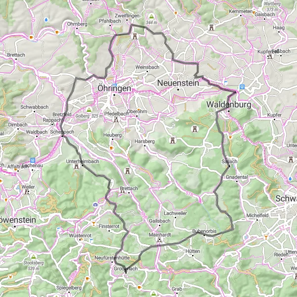
Embark on a gravel exploration of Platte and Großhöchberg
This scenic gravel cycling route takes you through the enchanting villages of Platte and Großhöchberg. With an ascent of 971 meters over a distance of 40 kilometers, this route offers a moderate challenge for gravel enthusiasts. Platte is a hidden gem known for its peaceful atmosphere and stunning views, while Großhöchberg showcases idyllic charm. Along the way, you'll pass by Schloss Katharinenhof, a striking castle that adds to the historical allure of the route. Overall, this exploration offers a blend of natural beauty, cultural attractions, and tranquil landscapes, making it an enjoyable ride for those seeking a rural escape.
Cycling routes nearby:
Nearby regions: