Epic Climbing Destination near Stuttgart
Cycling routes from Heuchlingen
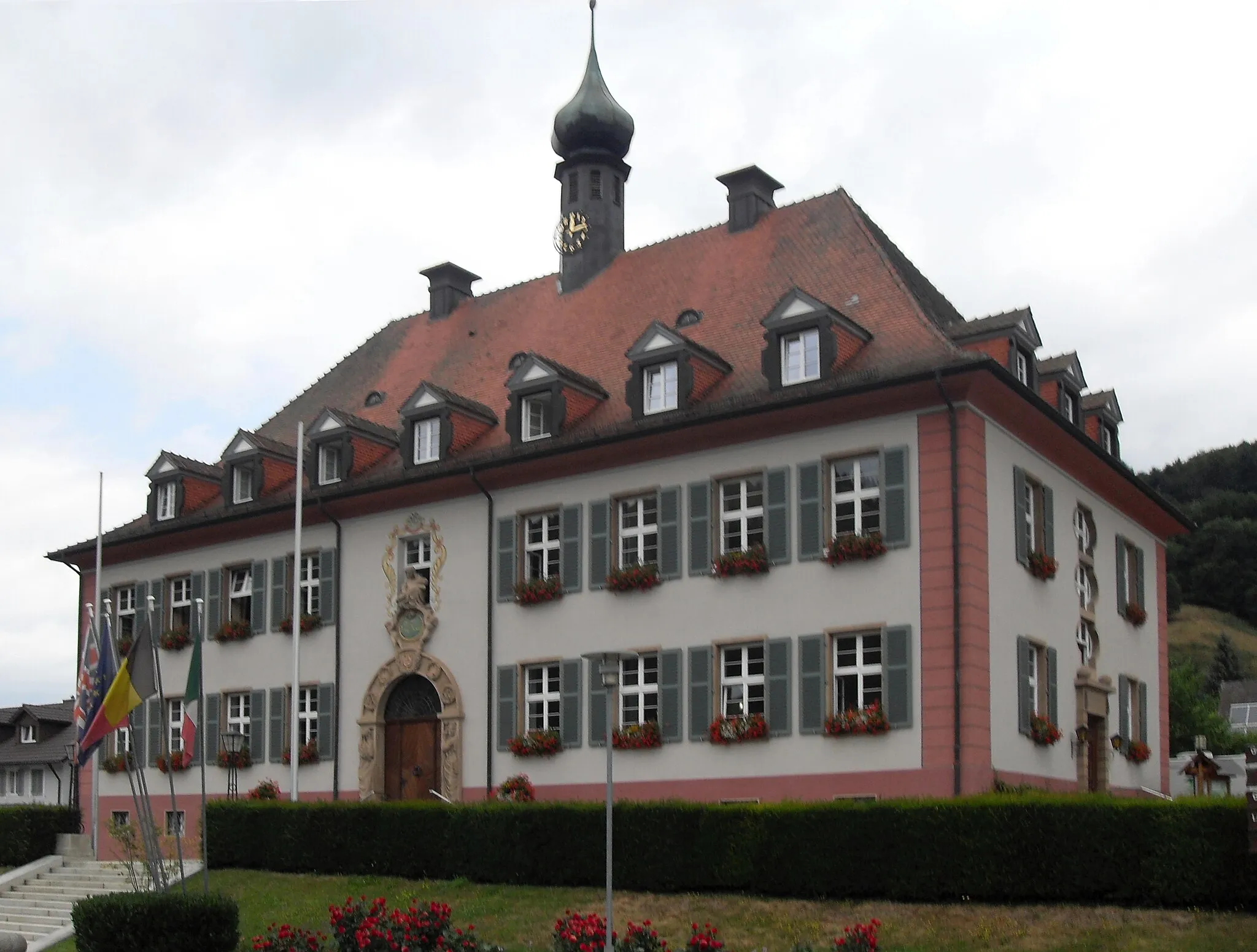
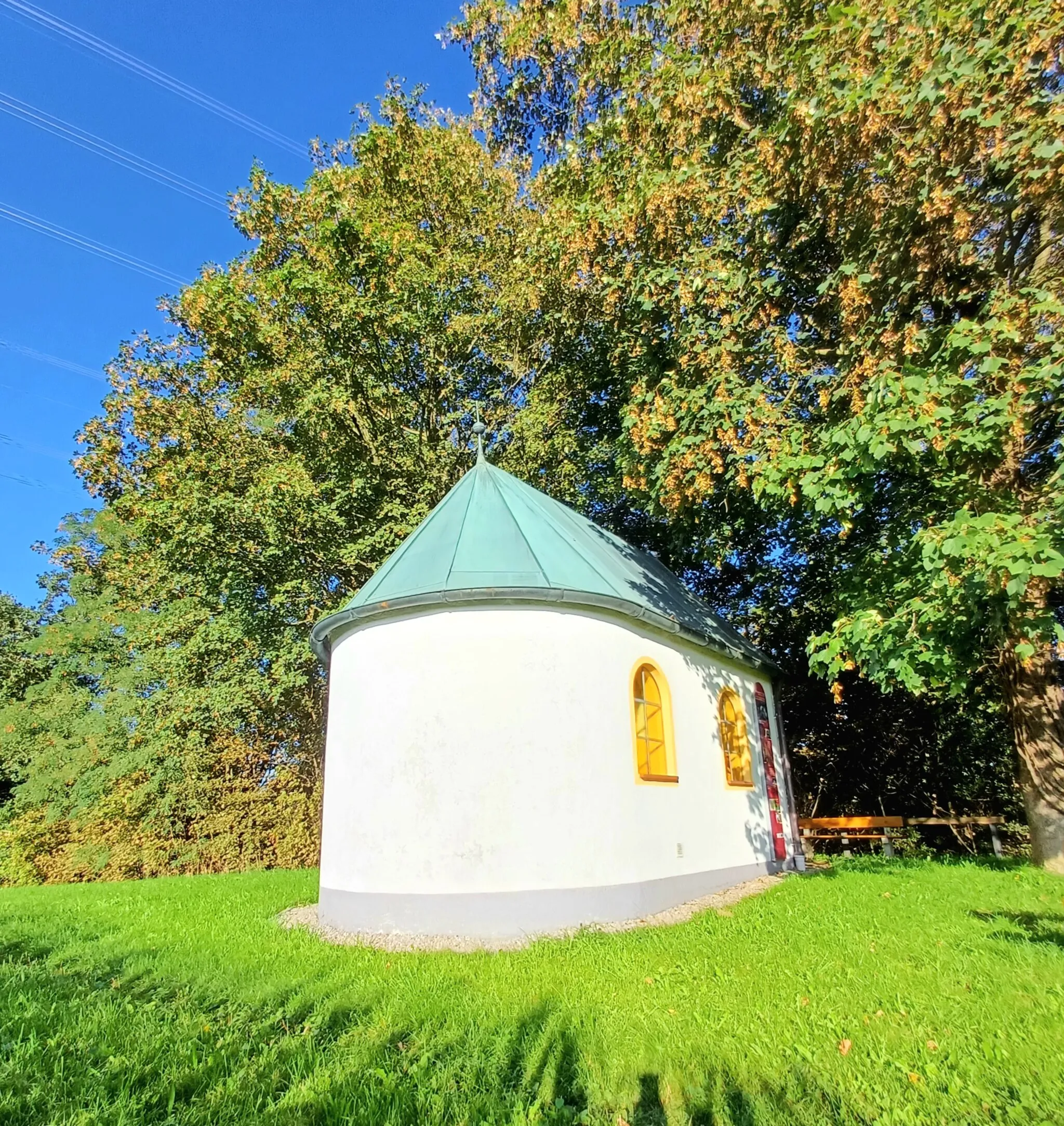
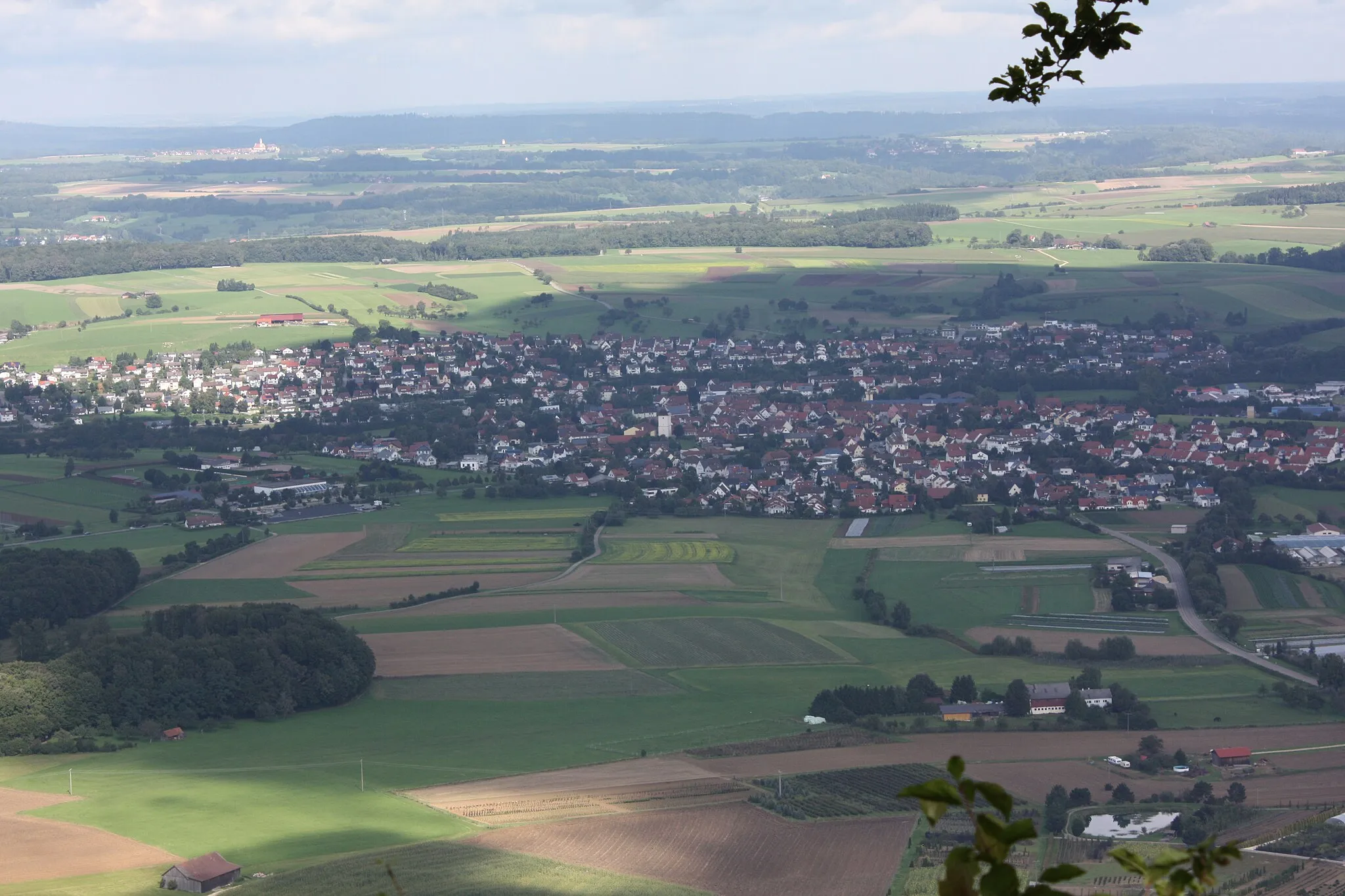
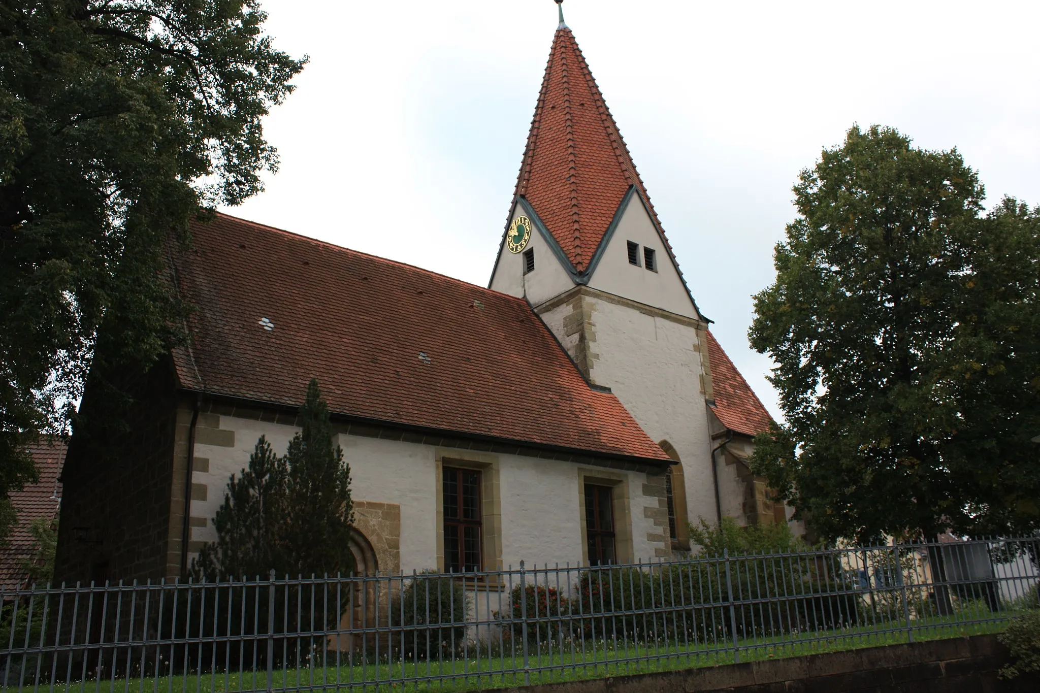
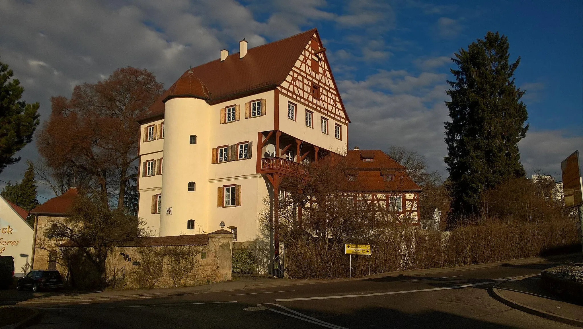
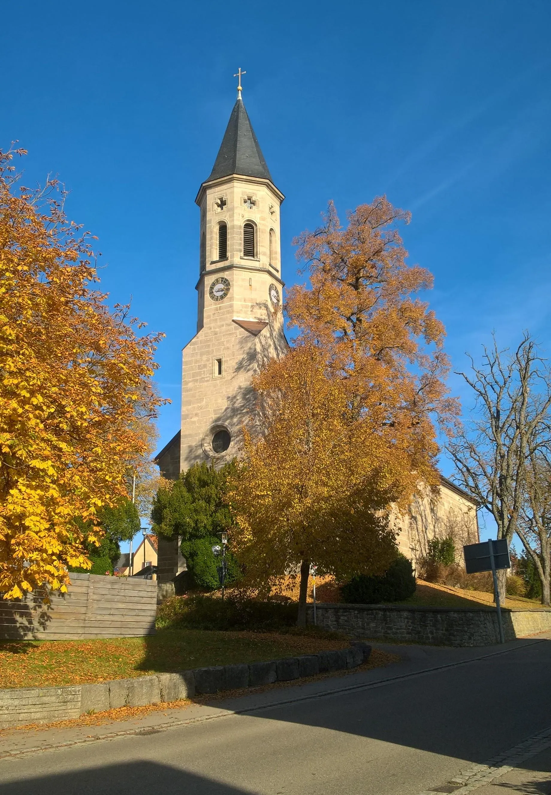
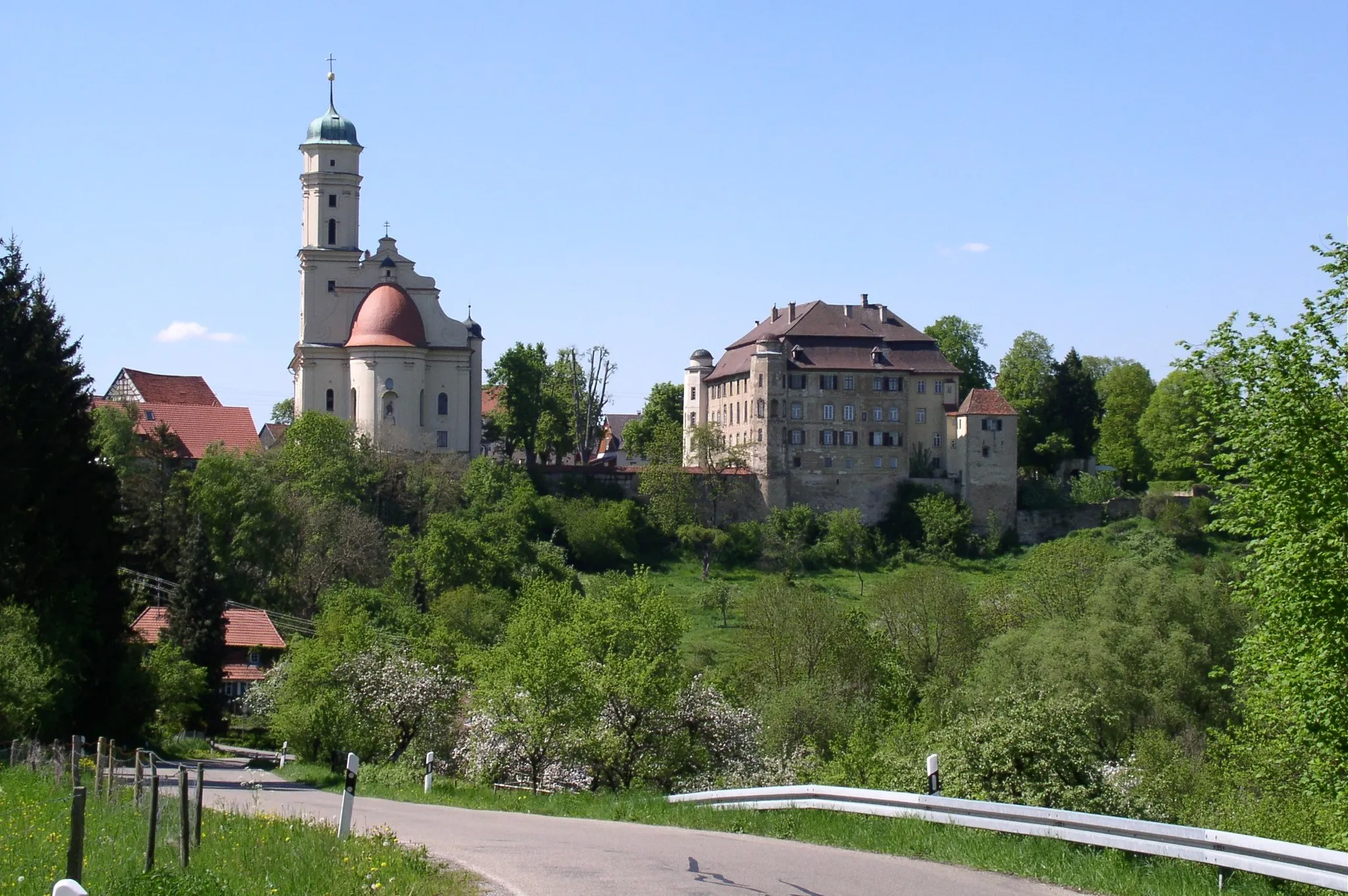
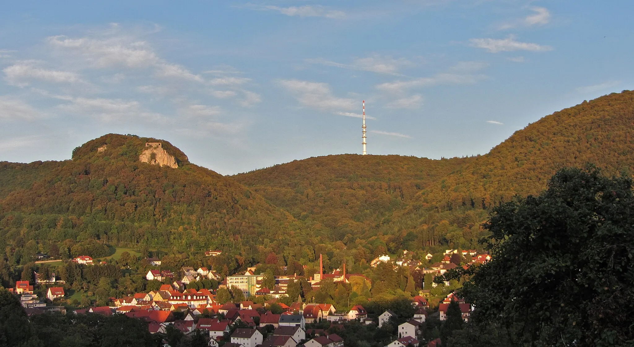
Heuchlingen is a locality situated in the Stuttgart region of Germany. This area is known for its challenging climbs and demanding terrain, attracting avid road and gravel cyclists. Cyclists can challenge themselves on the nearby Hohlohturm, a famous climb that offers panoramic views of the surrounding countryside. Featuring a mix of steep ascents and thrilling descents, Heuchlingen provides a perfect playground for experienced cyclists seeking a thrilling and memorable adventure. With its breathtaking views and varied terrain, Heuchlingen is a must-visit for those seeking a cycling experience that pushes their limits.
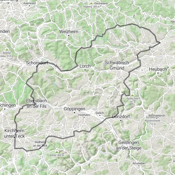
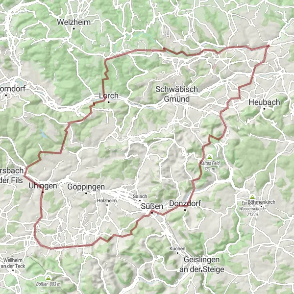
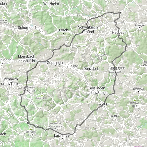
Unravel the hidden gems of Schwäbisch Alb on this epic road cycling route
Discover the hidden treasures of Schwäbisch Alb on this unforgettable 139km road cycling adventure with a challenging ascent of 1,871m. Pedal through picturesque landscapes, historic landmarks, and charming towns such as Iggingen, Stuifen, and Kirchheim unter Teck. Marvel at the panoramic views atop Kuhnberg and explore the cultural heritage of Bad Boll. With a difficulty rating of 4 and an epicness score of 4, this route will delight experienced cyclists seeking both physical and visual stimulation. Don't miss the unique beauty of Ottilienberg and Spraitbach.
Heuchlingen Gravel Loop

Explore the rugged terrain surrounding Heuchlingen on this exciting gravel loop.
Experience the beauty of rural Germany on this challenging gravel loop starting from Heuchlingen. The route takes you through scenic landscapes and includes several noteworthy climbs.
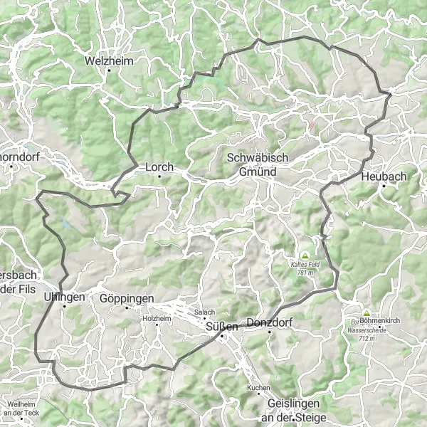
A thrilling gravel adventure through rolling hills and picturesque villages
Get ready for an exciting off-road experience on the Rems Valley Gravel Loop. This 107km route takes you through beautiful landscapes, charming towns, and includes a total ascent of 1,754m. Suitable for gravel bikes, it offers a mix of well-maintained gravel paths and quiet country roads. Discover the hidden gems of Böbingen an der Rems, Süßen, and Lorch along the way. With a difficulty rating of 4 and an epicness score of 4, this route is perfect for experienced gravel cyclists seeking a memorable adventure.
Embark on a challenging road cycling journey through the picturesque scenery of Stuttgart.
Admire the beauty of Stuttgart's countryside as you cycle through Böbingen an der Rems, Furtlepass, Messelberg, Süßen, Lotenberg, Bad Boll, Albershausen, Hintere Schur, Dinkelfirst, Pfahlbronn, Spraitbach, and Schechingen. With an ascent of 1522 meters and a distance of 117 km, this challenging route is perfect for experienced cyclists seeking a thrilling adventure. Enjoy the spectacular views of the Remstal valley and explore charming towns along the way.
Heuchlingen Road Loop
Embark on a scenic road cycling adventure starting from Heuchlingen.
Enjoy picturesque views and challenging climbs on this road loop starting from Heuchlingen. This route takes you through charming towns and offers stunning vistas along the way.
Embark on an adventurous gravel route through scenic landscapes and historic sites.
Immerse yourself in nature and history as you cycle through Horn, Hinkelsteine, Gschwend, Burg Rötenberg, Kirgel, Algishofen, and Heuchlingen on this 61 km gravel route. With an ascent of 863 meters, this moderately challenging route offers a mix of natural beauty and cultural highlights. Enjoy the tranquility of gravel paths, explore ancient castles, and discover charming villages along the way.
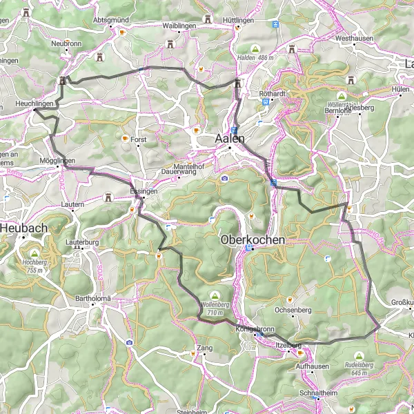
Heuchlingen to Mögglingen Loop
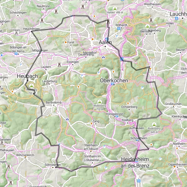
Cycle through picturesque towns and enjoy stunning views of the Schwaben Alps along this road route.
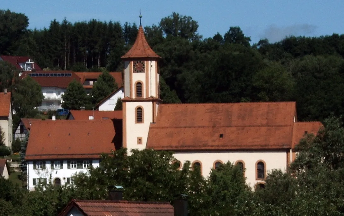
Experience the beauty of the Schwaben Alps as you cycle through charming towns and take in breathtaking views. This loop route starts in Heuchlingen and takes you through Aalen, Schwabenliesel, Niesitz, Rudelsberg, Ottilienberg, Heidenheim an der Brenz, Söhnstetten, Hausknecht, Heidenburren, and Mögglingen. With a total distance of 88 km and an ascent of 968 meters, this moderately difficult route offers a great mix of natural and cultural highlights.
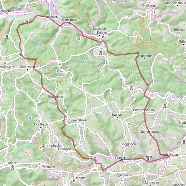
Heuchlingen to Welzheim Loop

Exploring the scenic countryside of Stuttgart and visiting historic landmarks.
This round-trip cycling route starting near Heuchlingen takes you through the beautiful countryside of Stuttgart. The route offers stunning views of rolling hills, picturesque villages, and historic landmarks. The route is a combination of road and gravel paths, making it suitable for both road and gravel bikes. With a total distance of 70 kilometers and an ascent of 854 meters, this route is perfect for a day trip. It is moderately difficult, suitable for well-trained amateurs with some experience in cycling. The highlight of the route is visiting landmarks like Horn, Hinkelsteine, Welzheim, Gschwend, Hohe Tannen, and Schechingen, each offering unique experiences and adding to the overall excitement of the ride.
Conquer the Panoramic Road Challenge and be rewarded with breathtaking views
Gear up for an unforgettable 143km road cycling adventure on the Panoramic Road Challenge. With a demanding ascent of 1,859m, this route is suitable for experienced cyclists seeking a challenging ride with mesmerizing vistas. Immerse yourself in the beauty of Heubach, Steighof, and Nellingen. Expect a difficulty rating of 5 and an epicness score of 5 on this legendary ride through the picturesque landscapes of Schöner Berg and Laichingen. Don't miss highlights like the Wasserturm Machtolsheim and the Faurndauer Linde.
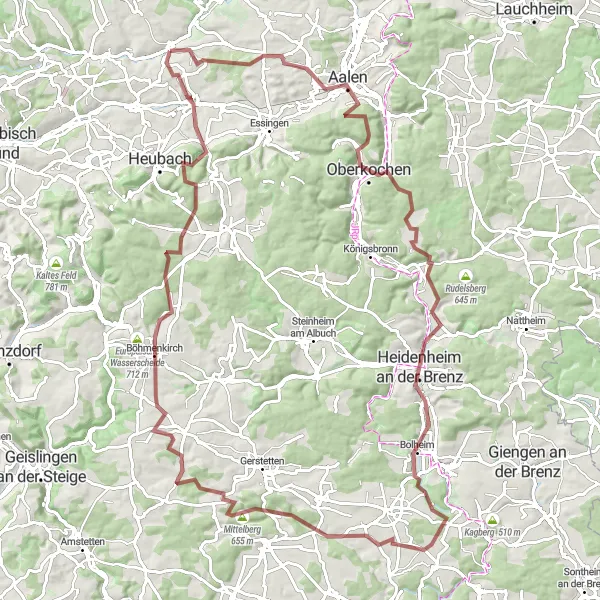
Embark on an epic gravel adventure through scenic landscapes and historic towns.
Cycle through gravel paths and encounter stunning natural landscapes and historical sites on this 107 km route from Heuchlingen to Mögglingen. The route includes highlights such as Kolbenberg, Aalen, Oberkochen, Brünneleskopf, Ottilienberg, Heidenheim an der Brenz, ehem. Burg Falkenstein, Sontbergen, Böhmenkirch, Schopf, and Mittelberg. With an ascent of 1601 meters, this route offers a thrilling challenge for adventure-seeking cyclists.
Cycling routes nearby:

Nearby regions: