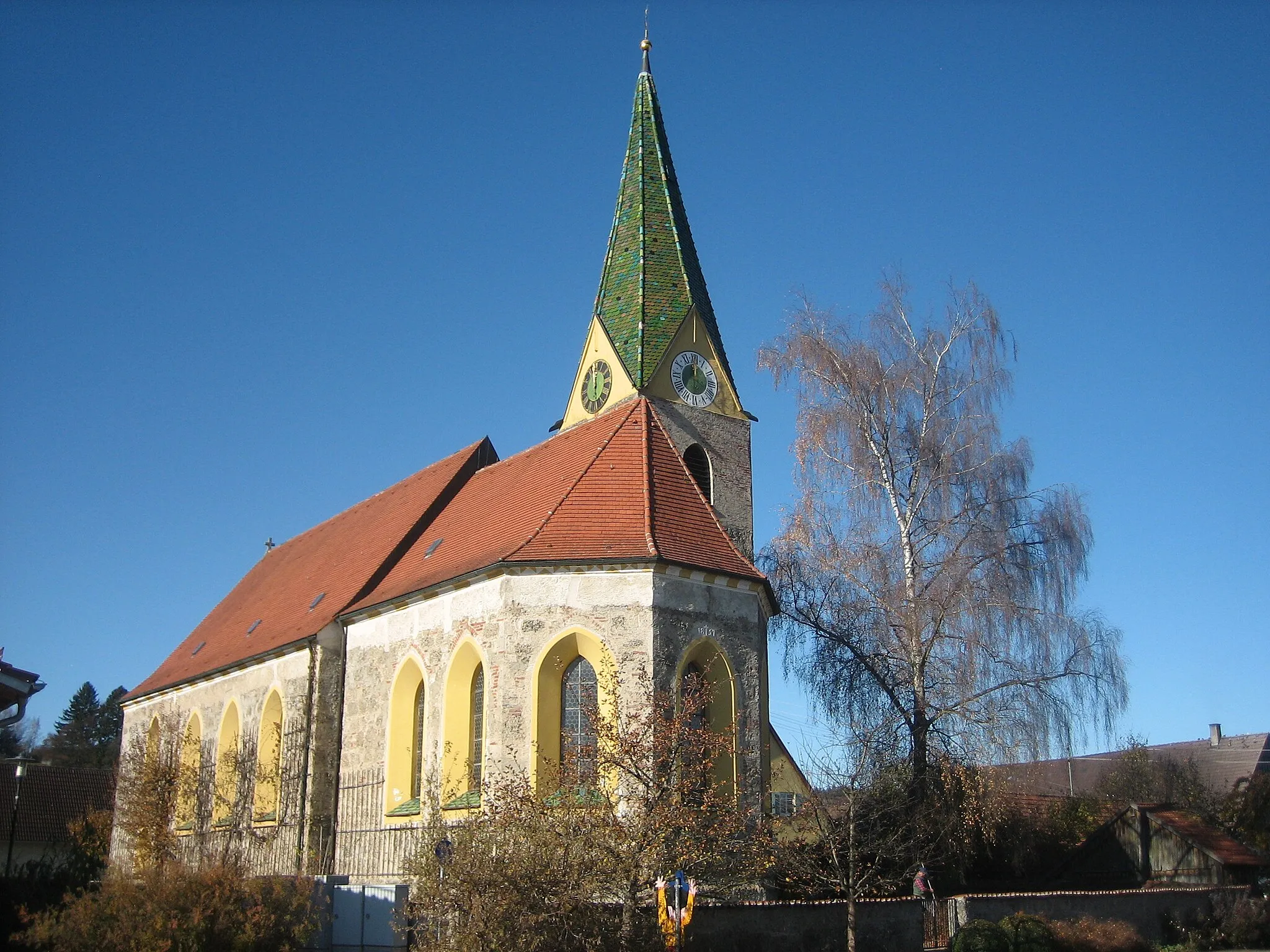
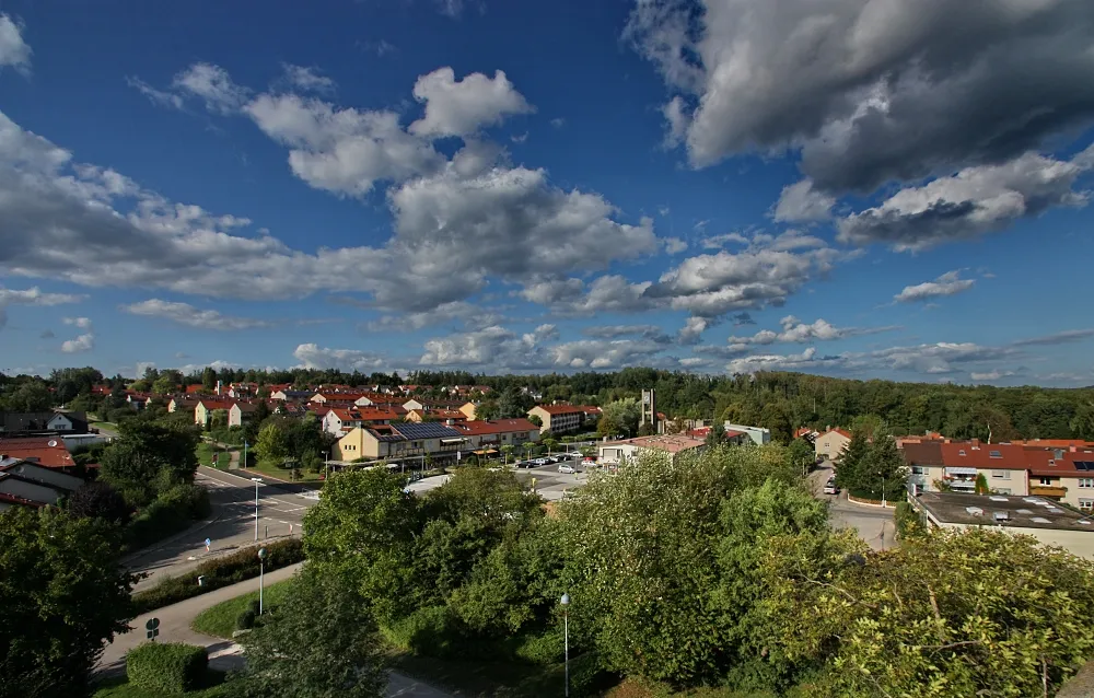
Discover Stuttgart's charm through scenic road and gravel rides in Hochdorf.
Cycling routes from Hochdorf
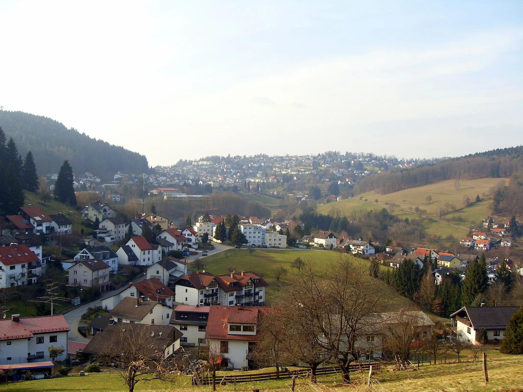
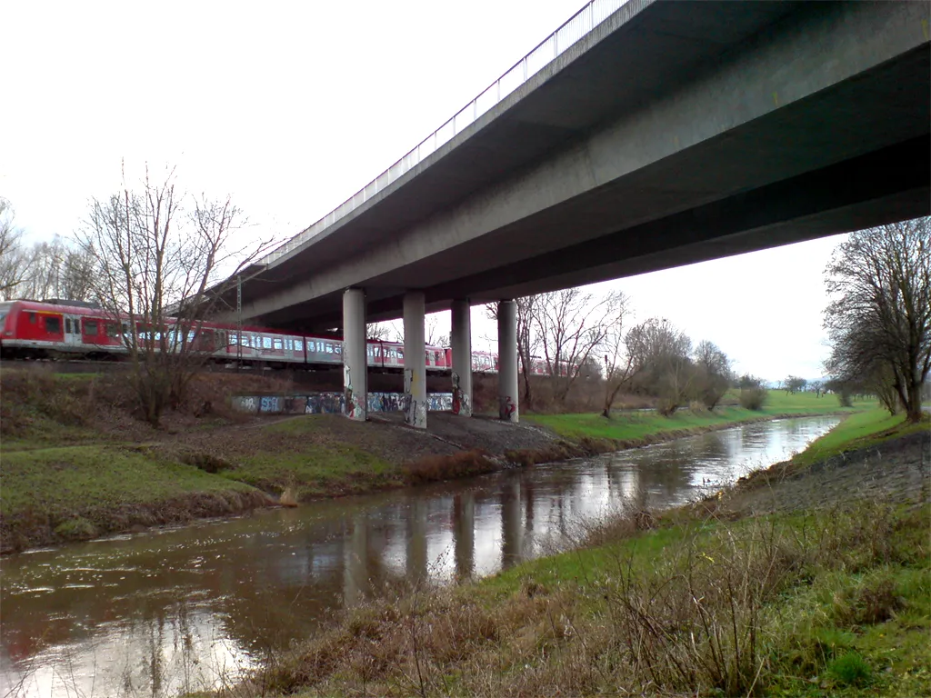
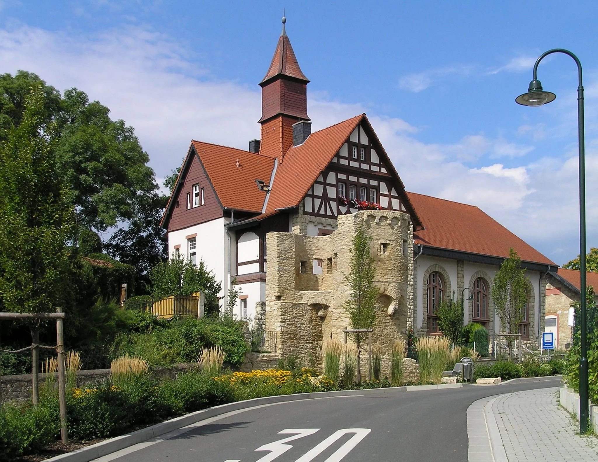
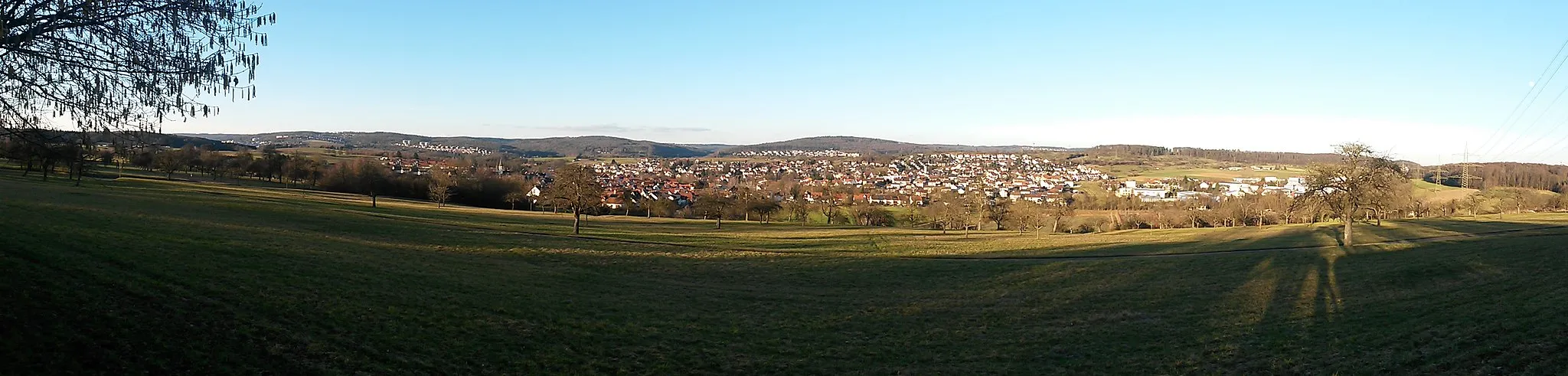
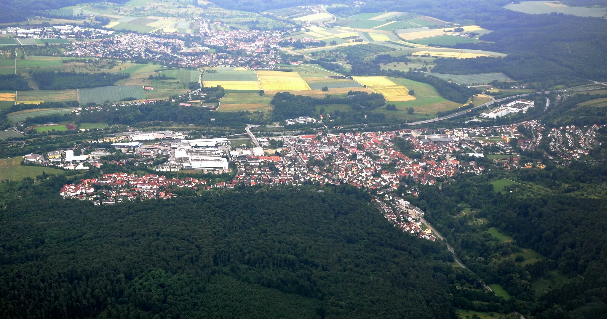
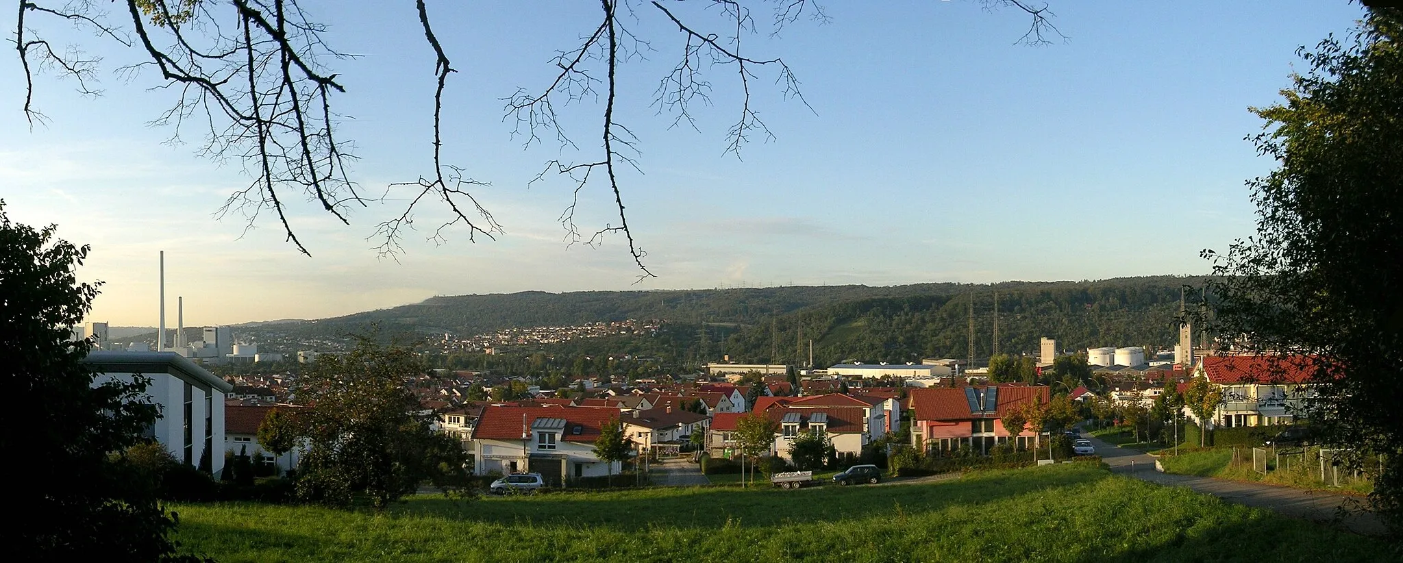
Hochdorf, situated in the Stuttgart region of Germany, is a cycling destination that offers a mix of road and gravel routes through picturesque landscapes. With rolling hills, charming villages, and idyllic countryside, cyclists can enjoy scenic rides in this charming locality. Near Hochdorf, Olgastraße presents a noteworthy cycling spot, featuring a hilly terrain and breathtaking views of the surrounding region. Cycling enthusiasts can also explore the nearby Schurwald forest, which offers challenging off-road paths for gravel biking. Hochdorf welcomes cyclists with its cycling-friendly infrastructure and provides a great starting point for exploring the beauty of the Stuttgart region on two wheels.
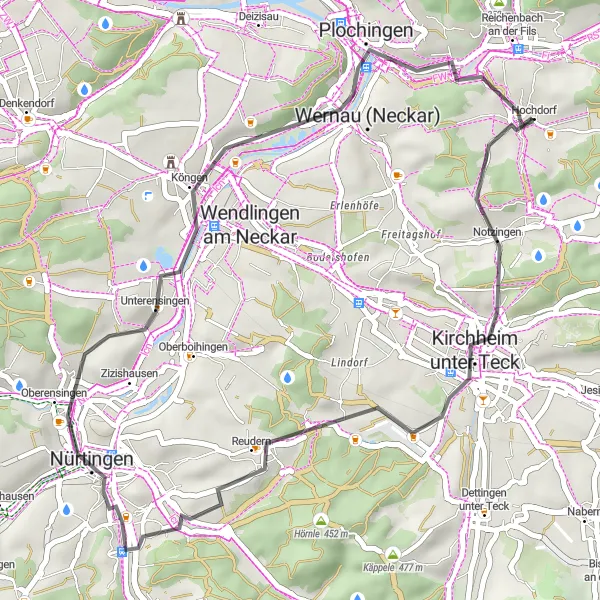
Discover the stunning Aussichtsplatte Würstlesberg viewpoint on this road cycling route from Hochdorf to Kirchheim unter Teck.
Embark on a scenic road cycling journey from Hochdorf to Kirchheim unter Teck, covering a distance of 38 kilometers and an ascent of 378 meters. Enjoy the thrill of riding through picturesque landscapes, exploring charming towns, and taking in the breathtaking views from the Aussichtsplatte Würstlesberg viewpoint.
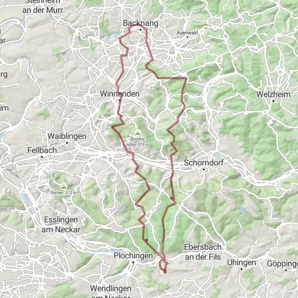
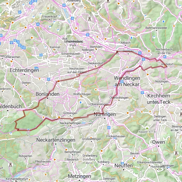
Conquer the steep hills and challenging terrain of the Stuttgart region on this epic gravel cycling route.
Get ready for an adrenaline-pumping ride on this 82 km gravel cycling route, which boasts challenging ascents and remarkable highlights. The Stuttgart Hill Challenge is designed for experienced gravel riders seeking an epic adventure packed with breathtaking landscapes and test their courage.
The Road Less Traveled
Discover hidden gems and scenic routes in the surrounding areas on this road cycling adventure.
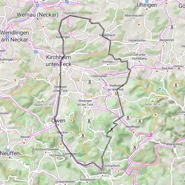
Venture off the beaten path and explore the uncharted roads near Hochdorf on this 52km road cycling route. With a total ascent of 784m, this route offers a moderate challenge for road cycling enthusiasts. Experience highlights like Aichelberg, ehemalige Burg Lichteneck, Mönchberg, Owen, Aussichtsplatte Würstlesberg, and Notzingen as you cycle through the scenic countryside. Enjoy the serenity of lesser-known roads while discovering hidden gems and breathtaking viewpoints. This route is perfect for those seeking a unique road cycling experience with a mix of challenging climbs and beautiful scenery.
Discover the enchanting vineyards and charming villages along the scenic Rems River valley.
Immerse yourself in the picturesque beauty of the Rems River valley on this 59 km road cycling route. With moderate ascents and scenic highlights, the Remstal Wine Route is perfect for leisurely rides and offers a taste of the renowned local wines.
Embark on an exciting gravel cycling adventure through scenic landscapes and hidden gems.
Dive into an off-road cycling expedition on this challenging 67 km gravel route, surrounded by stunning scenery. The Swabian Gravel Adventure is perfect for adventurous cyclists looking to explore the less-traveled paths of the Stuttgart region.
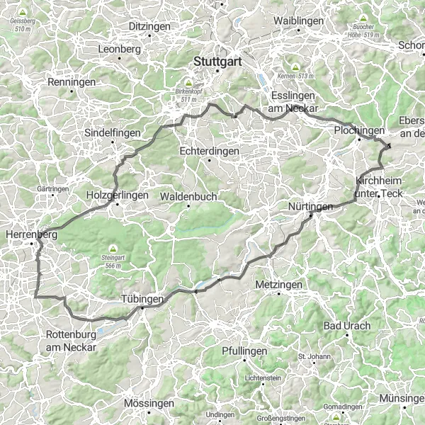
Experience the breathtaking beauty of the Ersberg and Gültstein viewpoints on this road cycling route from Hochdorf to Tübingen.
Embark on a challenging road cycling adventure from Hochdorf to Tübingen, covering a distance of 130 kilometers and an ascent of 1374 meters. Along the way, you'll witness stunning vistas, visit picturesque towns, and enjoy the thrill of conquering steep climbs.
Nature's Delight
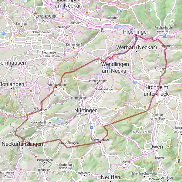
Experience the natural beauty and diverse landscapes surrounding Hochdorf on this gravel route.
Get ready to embark on a 59km gravel adventure through the stunning natural landscapes near Hochdorf. This route offers a total ascent of 828m, making it a great option for gravel enthusiasts seeking a challenge. Immerse yourself in nature as you pass through highlights such as Kirchheim unter Teck, Hörnle, Geigersbühl, Großbettlingen, Altenriet, Benzberg, Plochingen, and Ziegelhof. From lush forests to rolling hills and picturesque villages, this route showcases the diverse beauty of the region. Experience the thrill of gravel cycling while enjoying the tranquility of nature.
The Hills of Hochdorf
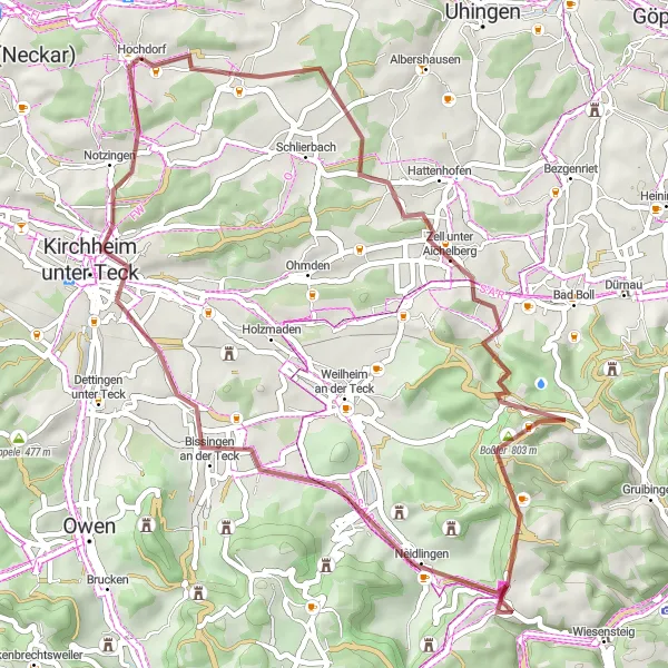
Discover the rolling hills and charming towns of Hochdorf on this gravel route.
This 50km gravel route takes you through the scenic landscapes surrounding Hochdorf. Experience the rolling hills, picturesque villages, and stunning views along the way. The route includes a total ascent of 853m, providing a good challenge for gravel enthusiasts. Don't miss highlights such as Zell unter Aichelberg, Boßler, Neidlingen, Dachsbühl, and Kirchheim unter Teck during your adventure. With its varied terrain and beautiful scenery, this route will surely leave you wanting more.
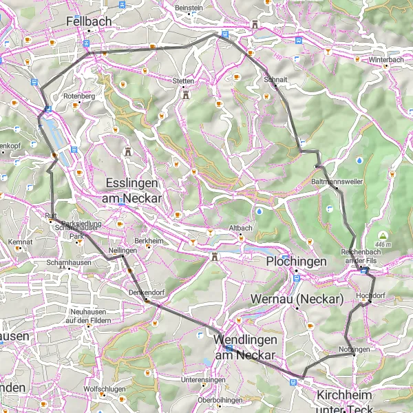
Embark on an epic 80km gravel adventure through the diverse landscapes near Hochdorf.
Prepare yourself for the ultimate gravel adventure on this challenging 80km route near Hochdorf. With a total ascent of 1432m, this route is only recommended for experienced gravel cyclists seeking a true challenge. From Reichenbach an der Fils to Albershausen, this route will take you through a variety of terrains and landscapes, including forests, hills, and stunning viewpoints. Highlights along the way include Reichenbach an der Fils, Hungerberg, Aussichtspunkt Lettenstich, Kesselgrotte, Lorch, Aussichtsturm 'Luftikus,' and Albershausen. Experience the thrill of conquering steep ascents and enjoy the rewarding descents with breathtaking views. This epic journey is not for the faint-hearted.
Hochdorf Hilly Loop
Embark on a challenging road cycling adventure through winding hills and picturesque landscapes.
Experience the thrill of conquering steep ascents and enjoy breathtaking views of the surrounding countryside on this 97 km road cycling route. The Hochdorf Hilly Loop is perfect for experienced cyclists looking for a challenging ride in the beautiful Stuttgart region.
Cycling routes nearby:

Nearby regions: