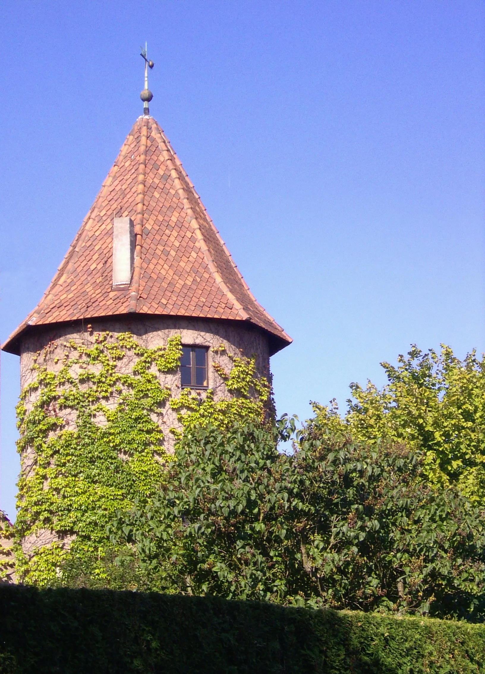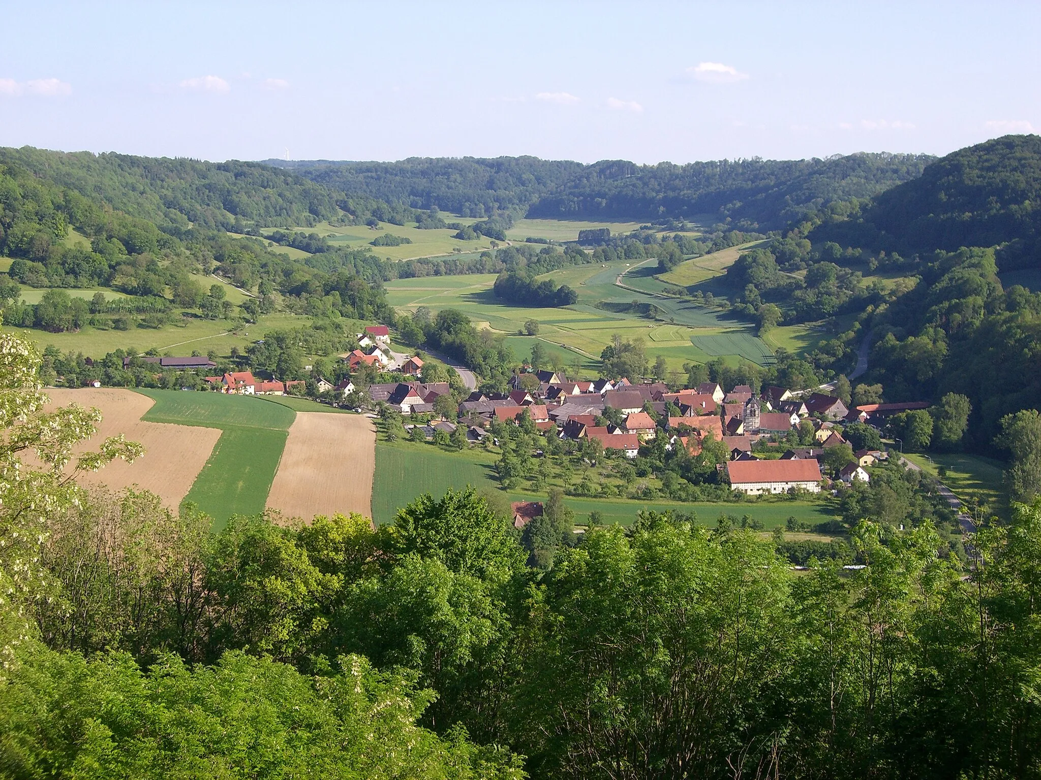
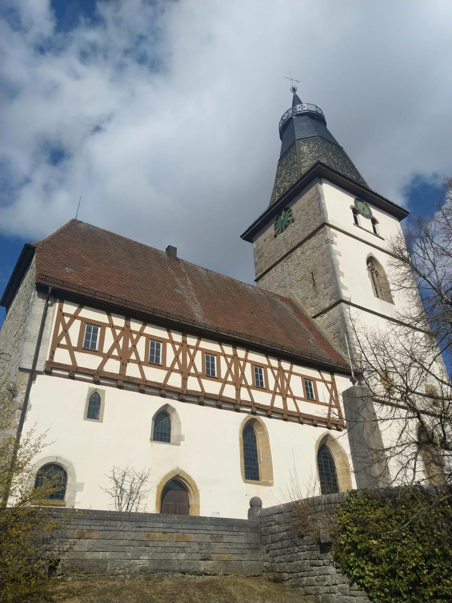
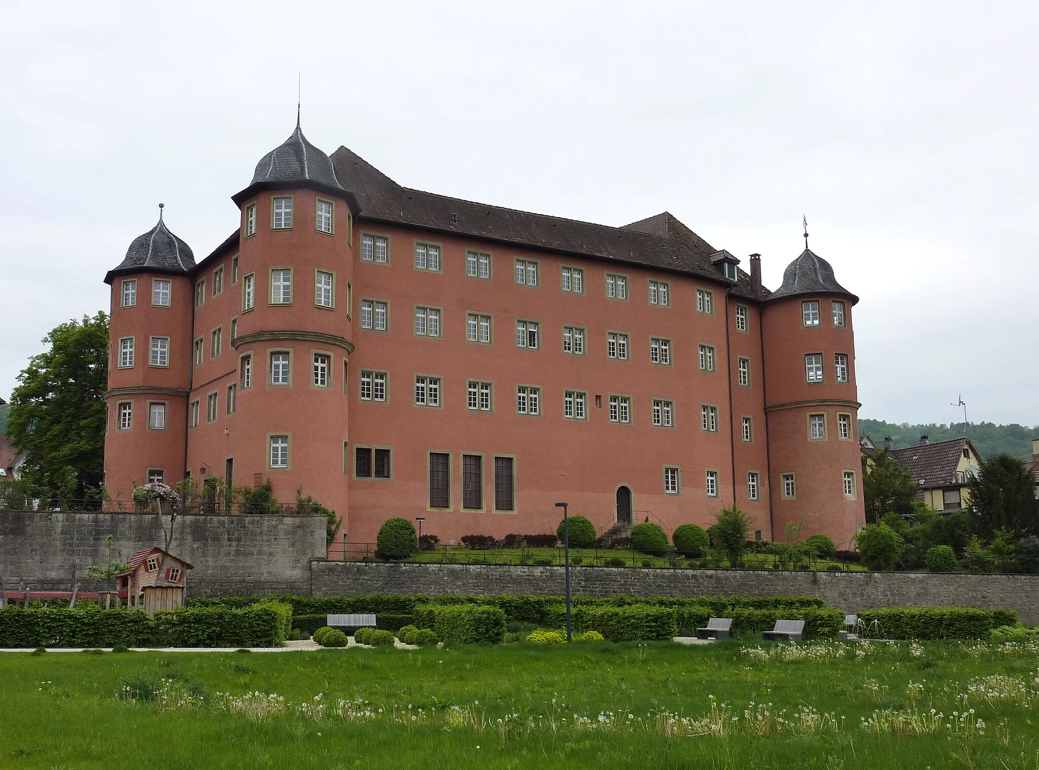
Beauty and history intertwined in the cycling paradise of Langenburg, Germany
Cycling routes from Langenburg
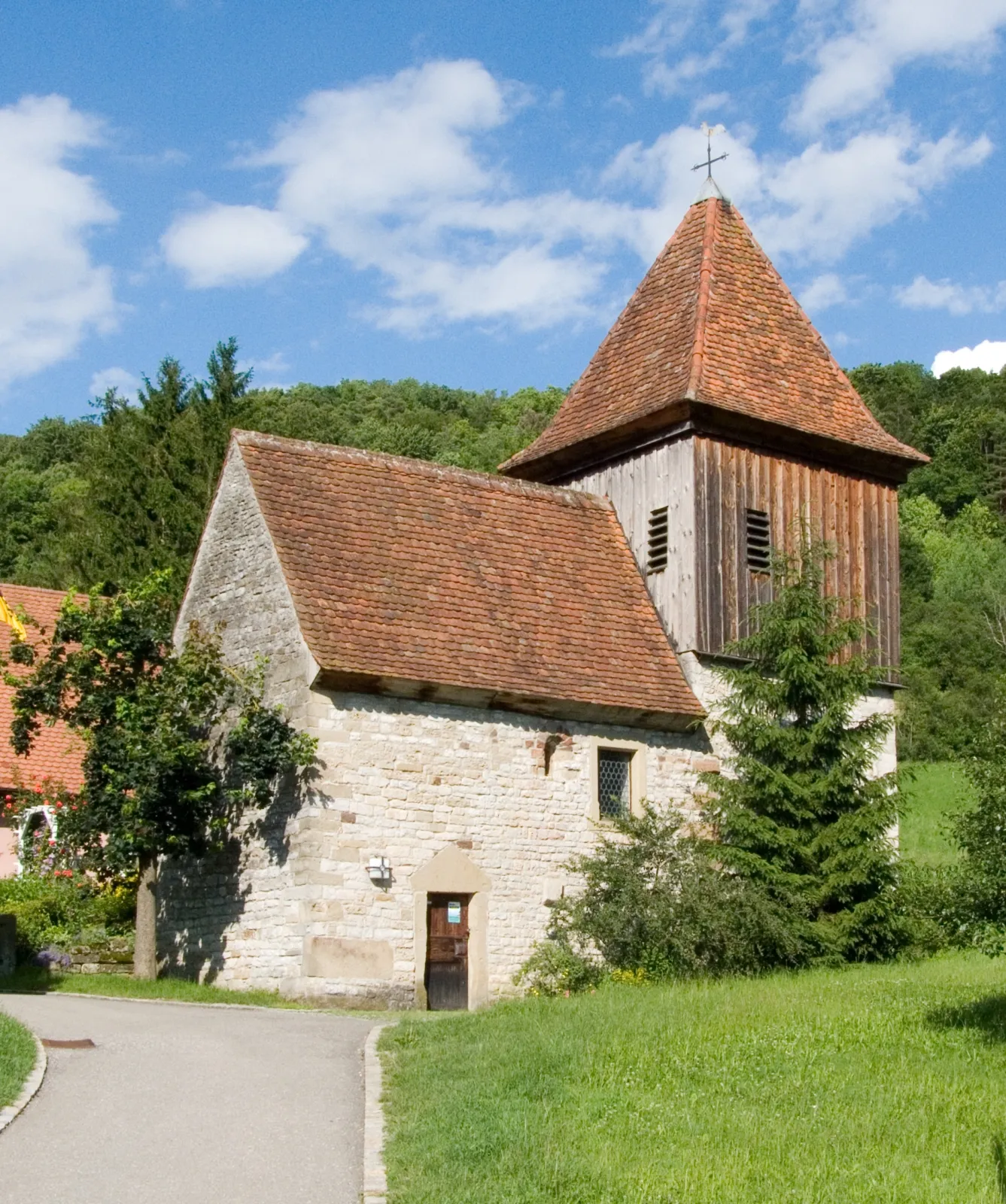
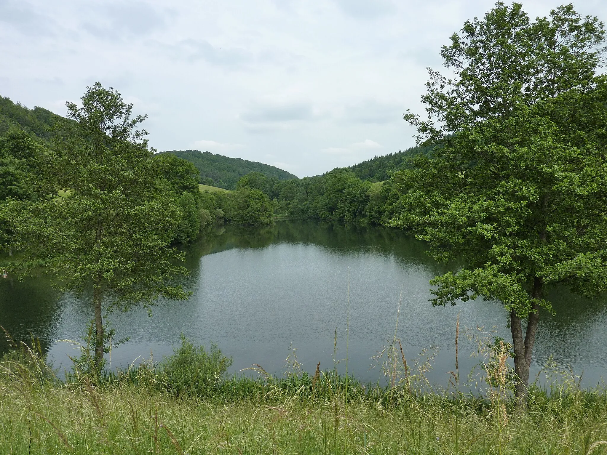
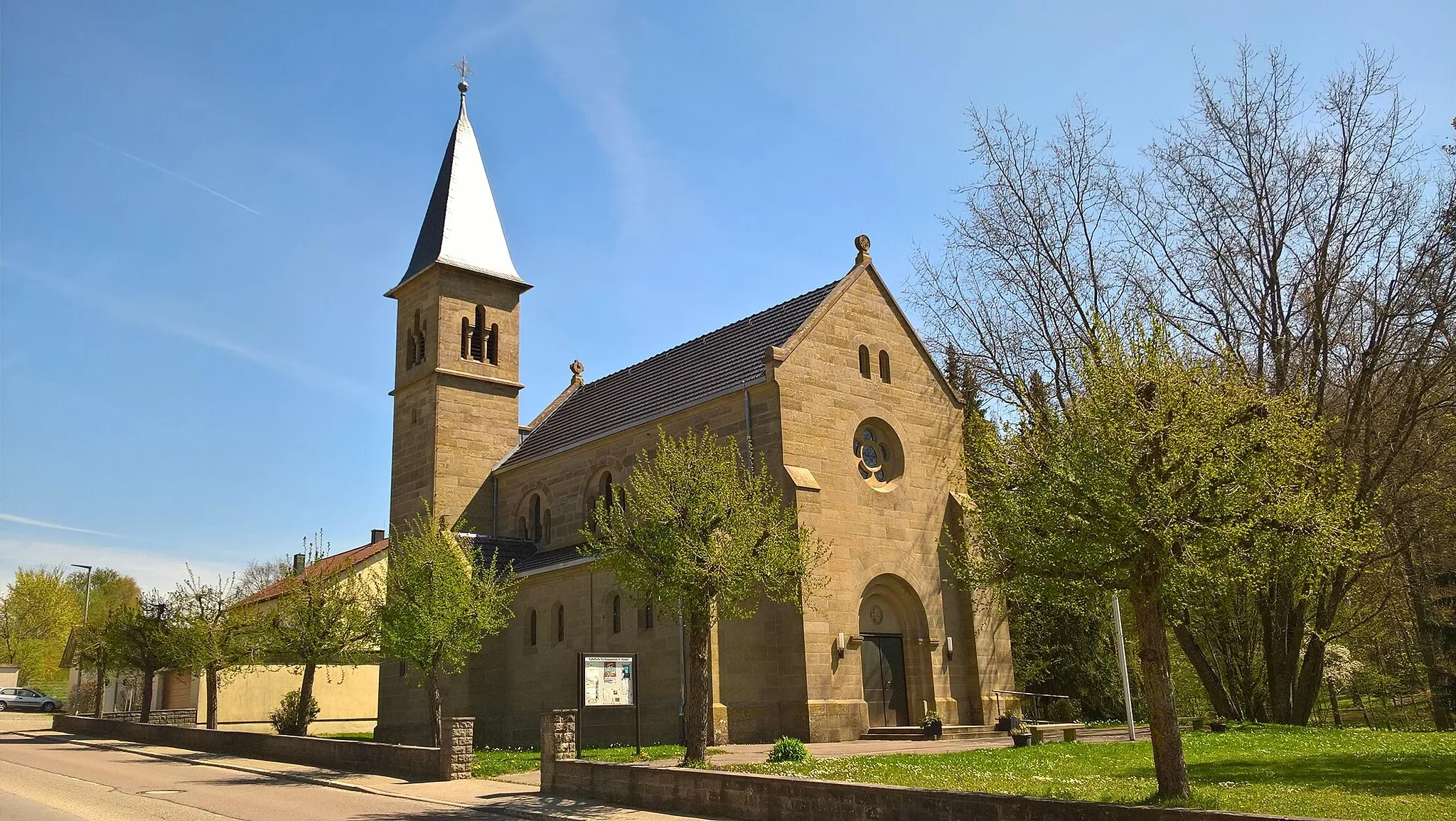
Langenburg in Stuttgart, Germany, is an excellent cycling destination featuring stunning landscapes and enjoyable routes. The region offers well-preserved roads with minimal traffic, making it ideal for both road and gravel cyclists. Langenburg is known for its proximity to many charming castles and picturesque villages, creating a captivating atmosphere for cyclists exploring the area. The Hohenlohe region, which includes Langenburg, features a variety of cycling trails and loops, catering to cyclists of all levels. With its scenic beauty and cultural attractions, Langenburg attracts cyclists looking for both recreational rides and historical exploration.
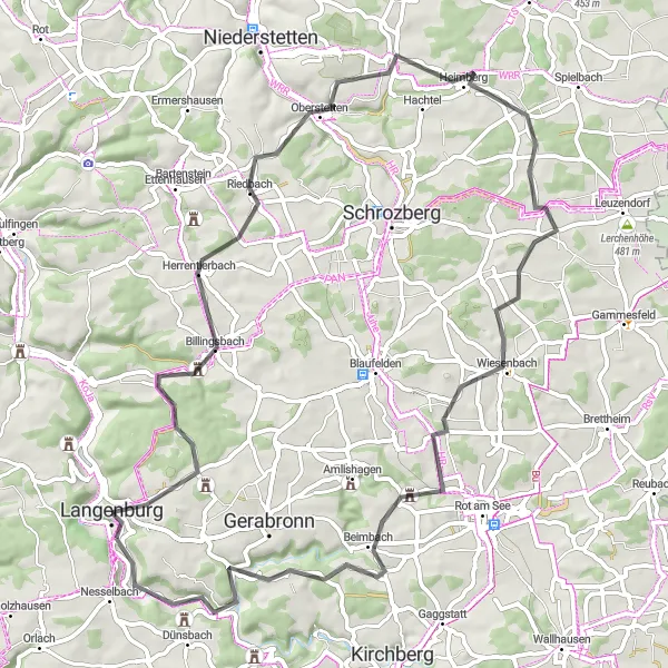
The Schrozberg Loop

Embark on a diverse cycling adventure, from rolling hills to charming villages and impressive landscapes.
Saddle up for a memorable ride on this 139 km road cycling route that boasts an elevation gain of 1,380 meters. Begin near Langenburg and pass through Schrozberg, Windelsbach, and Rehbühl, where beautiful countryside scenery awaits. Don't miss the charming towns of Ottenhöhe and Leutershausen, which offer a delightful mix of history and natural beauty. With a difficulty rating of 4 out of 5 and an epicness factor of 3 out of 5, this route is perfect for intermediate to experienced riders seeking an exciting challenge.
Experience the beauty of Stuttgart's countryside on this exhilarating road cycling route.
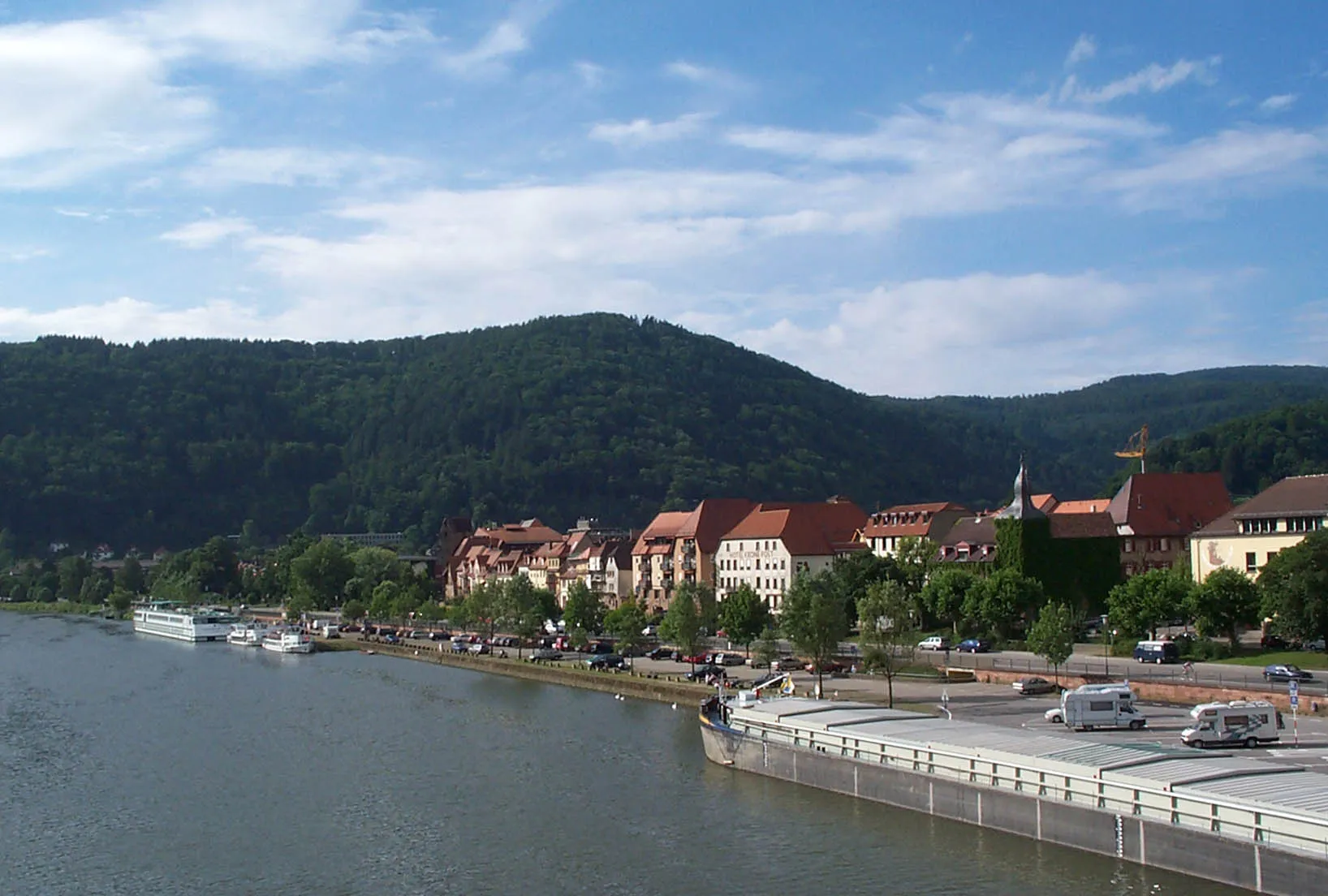
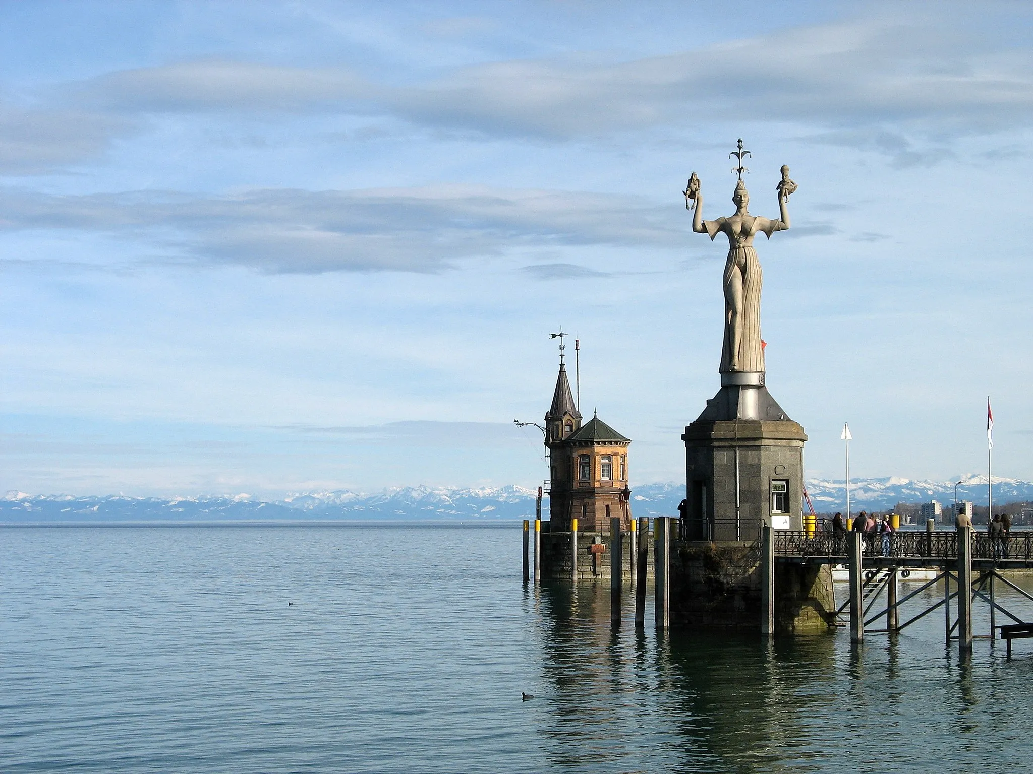
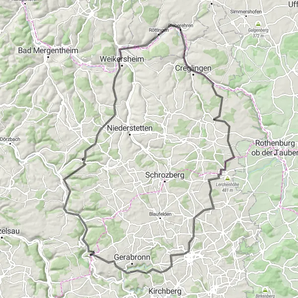
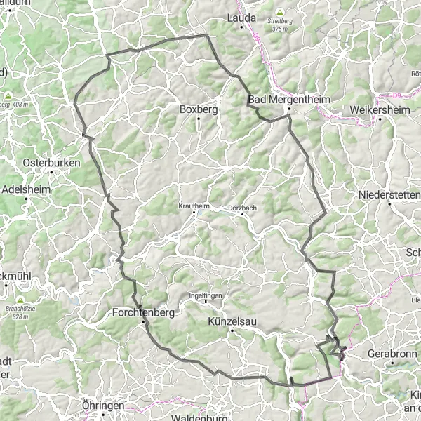
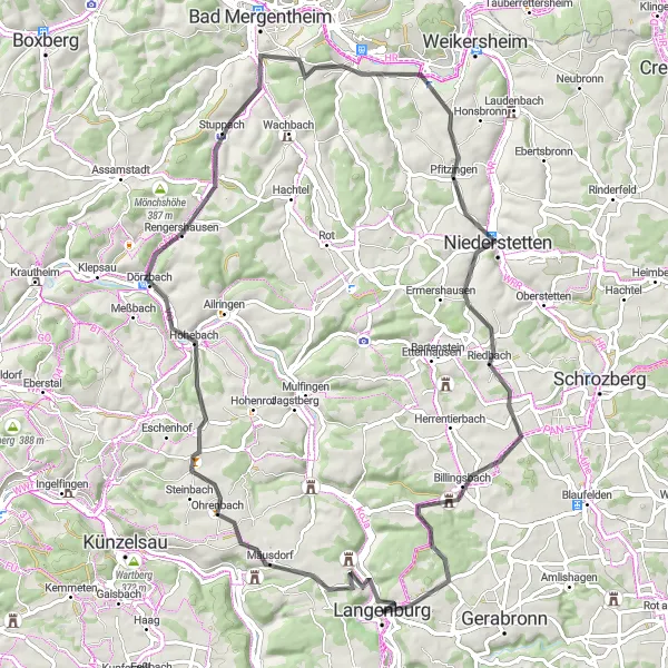
Embark on a breathtaking cycling journey starting from Langenburg, near Stuttgart, Germany. This route encompasses stunning landscapes, charming towns, and historic sites, making it perfect for cycling enthusiasts and nature lovers alike. The total distance of 101 kilometers and an elevation gain of 1,110 meters provide a thrilling challenge for well-trained amateurs seeking an adventurous experience. The route passes through Mulfingen, Weikersheim, Röttingen, and Blumweiler, where you can immerse yourself in the rich history and cultural heritage of the region. The highlight of the journey is reaching Burg Werdeck, a majestic castle offering panoramic views of the surrounding area.
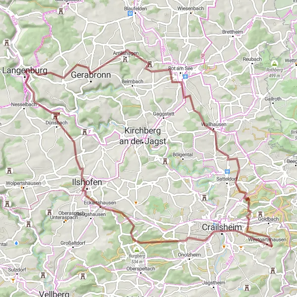
The Mulfingen Loop
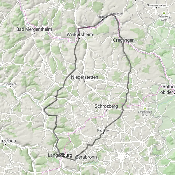
Saddle up and explore the picturesque countryside with a thrilling climb up Auber Berg.
Embark on a challenging yet rewarding ride on this road cycling route that spans 87 km and ascends 1,035 meters. Start your journey near Langenburg and make your way to Mulfingen, where you'll be greeted with mesmerizing views of the surrounding landscapes. Don't miss highlights like Weikersheim, Röttingen, and the enchanting Auber Berg, which offers breathtaking vistas from its summit. With a difficulty rating of 4 out of 5 and an epicness factor of 3 out of 5, this route promises a memorable experience for avid cyclists.
Discover the beautiful countryside surrounding Langenburg.
Immerse yourself in the stunning countryside surrounding Langenburg with this gravel cycling route. Covering a distance of 90 kilometers and an ascent of 1,647 meters, this route presents a challenge for experienced gravel riders. You'll discover charming villages, ride along forest paths, and climb scenic hills. Take in the picturesque landscapes and enjoy the serenity of rural Germany on this unforgettable cycling adventure.
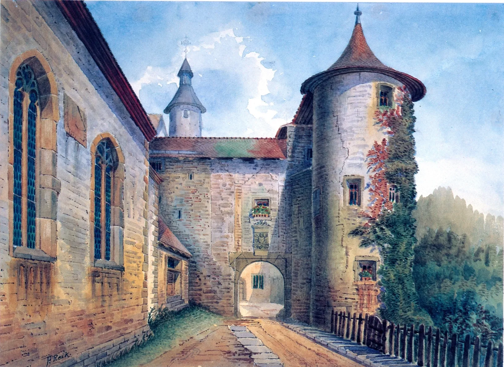
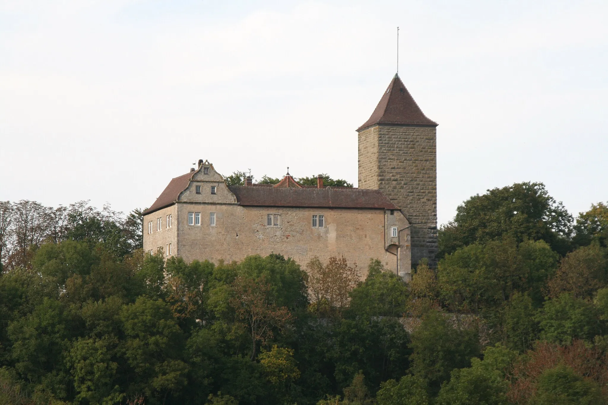
Immerse yourself in history as you cycle through Langenburg and visit the majestic Hertenstein Castle.
Take a journey through time on this 68 km road cycling route with an elevation gain of 884 meters. Start in Langenburg and make your way to the iconic Hertenstein Castle, which offers a fascinating glimpse into the past. Along the way, you'll pass through Wildentierbach and Wolkersfelden, where you can soak in the tranquil countryside scenery. With a difficulty rating of 3 out of 5 and an epicness factor of 2 out of 5, this route is suitable for both intermediate and experienced riders.
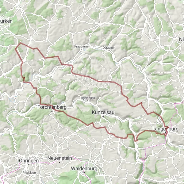
Gravel Adventure to Satteldorf
Embark on an off-road gravel adventure to Satteldorf.
For those seeking an off-road gravel adventure, this route will take you on an exciting journey to Satteldorf. Covering a distance of 73 kilometers with an ascent of 815 meters, this route offers a balance of scenic landscapes and challenging terrain. From Langenburg, you'll explore forest trails, ride through picturesque countryside, and encounter historical landmarks. Get ready for an unforgettable gravel cycling experience in the heart of Germany.
Nature's Beauty in Hohenlohe
Discover the beauty of nature in the Hohenlohe region.
Embark on a road cycling adventure through the scenic Hohenlohe region and immerse yourself in the beauty of nature. This route covers a distance of 83 kilometers with a total ascent of 1,352 meters, offering a moderate challenge for cyclists. You'll encounter stunning landscapes, charming villages, and cultural highlights along the way. Get ready to be captivated by the picturesque surroundings and the tranquility of the countryside.
Embark on a breathtaking cycling journey through charming towns and picturesque landscapes.
Discover the beauty of the Stuttgart region on this 134 km road cycling route that boasts an elevation gain of 2,095 meters. Beginning near Langenburg, you'll pedal your way through Kupferzell, Bieringen, and Rosenberg, where stunning panoramic views await. Don't miss the chance to explore Buch and the historic Eselsberg. With a difficulty rating of 5 out of 5 and an epicness factor of 4 out of 5, this route guarantees an unforgettable adventure for experienced cyclists seeking a challenge.
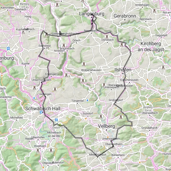
Explore the medieval treasures of the Schwäbisch Hall region.
This road cycling route takes you on a journey through the medieval treasures of the Schwäbisch Hall region. From Langenburg, you'll cycle through charming villages, pass by ancient castles, and marvel at historic landmarks. The route covers a distance of 79 kilometers with a total ascent of 1,268 meters, offering a moderate challenge for cyclists. Immerse yourself in the rich history and stunning landscapes of this fascinating region.
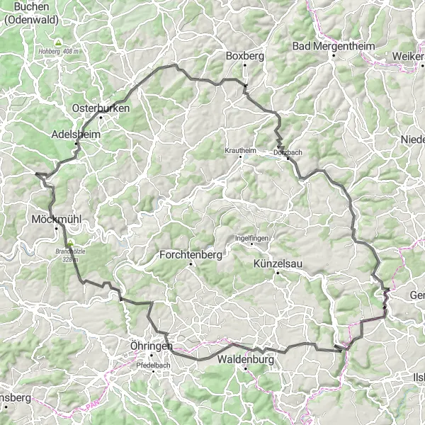
Embark on an exhilarating cycling adventure through hilly landscapes and historical towns.
Get ready for an exciting ride on this 137 km road cycling route with an elevation gain of 2,125 meters. Start your journey near Langenburg and explore Braunsbach, Möckmühl, and Eber, where medieval charm meets natural beauty. Don't miss the chance to visit Osterburken and Schillingstadt, which will transport you back in time with their historical landmarks. With a difficulty rating of 5 out of 5 and an epicness factor of 4 out of 5, this route offers a thrilling experience for advanced cyclists seeking a challenge.
Cycling routes nearby:

Nearby regions: