Cycling paradise with mix of road and gravel routes in picturesque surroundings.
Cycling routes from Obersontheim
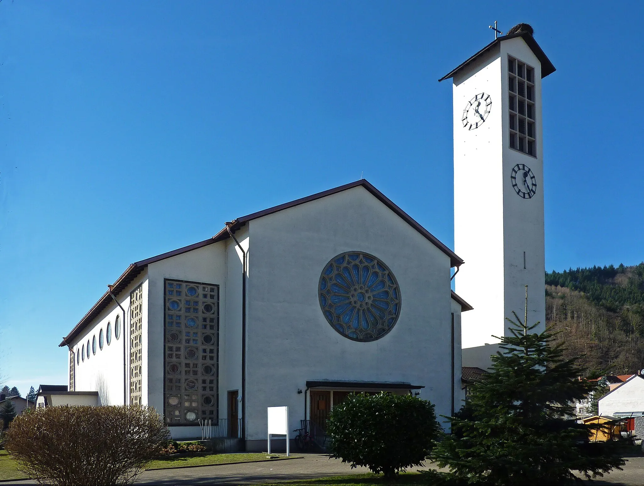
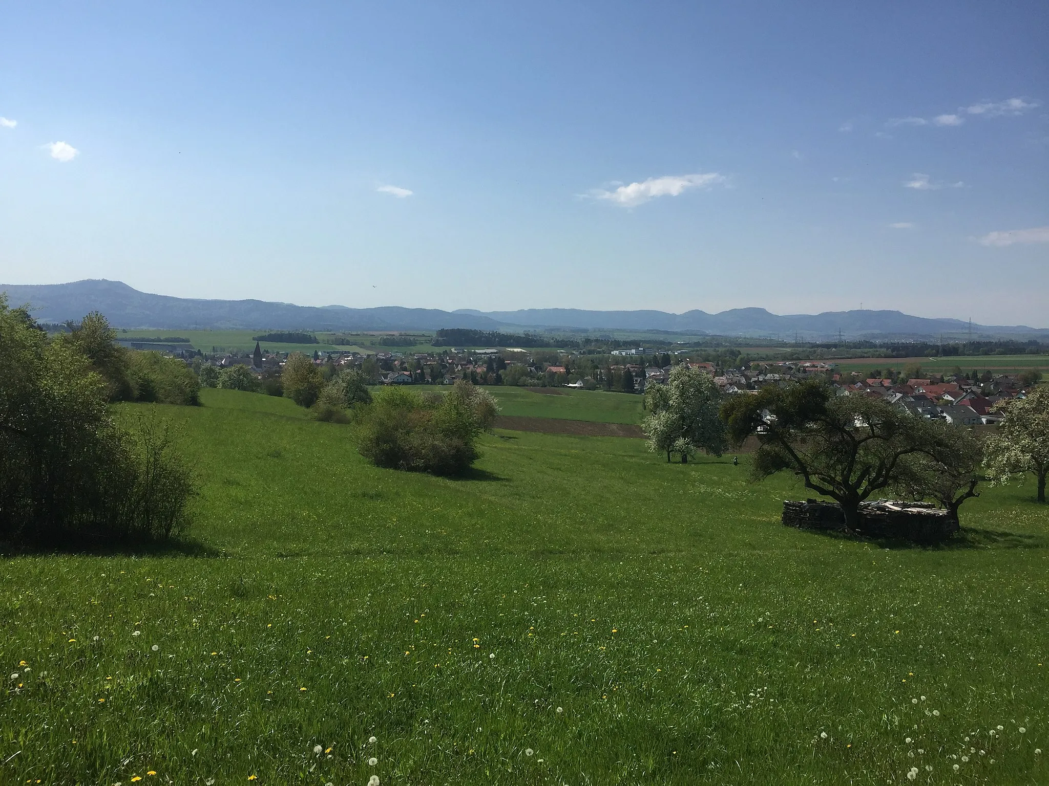
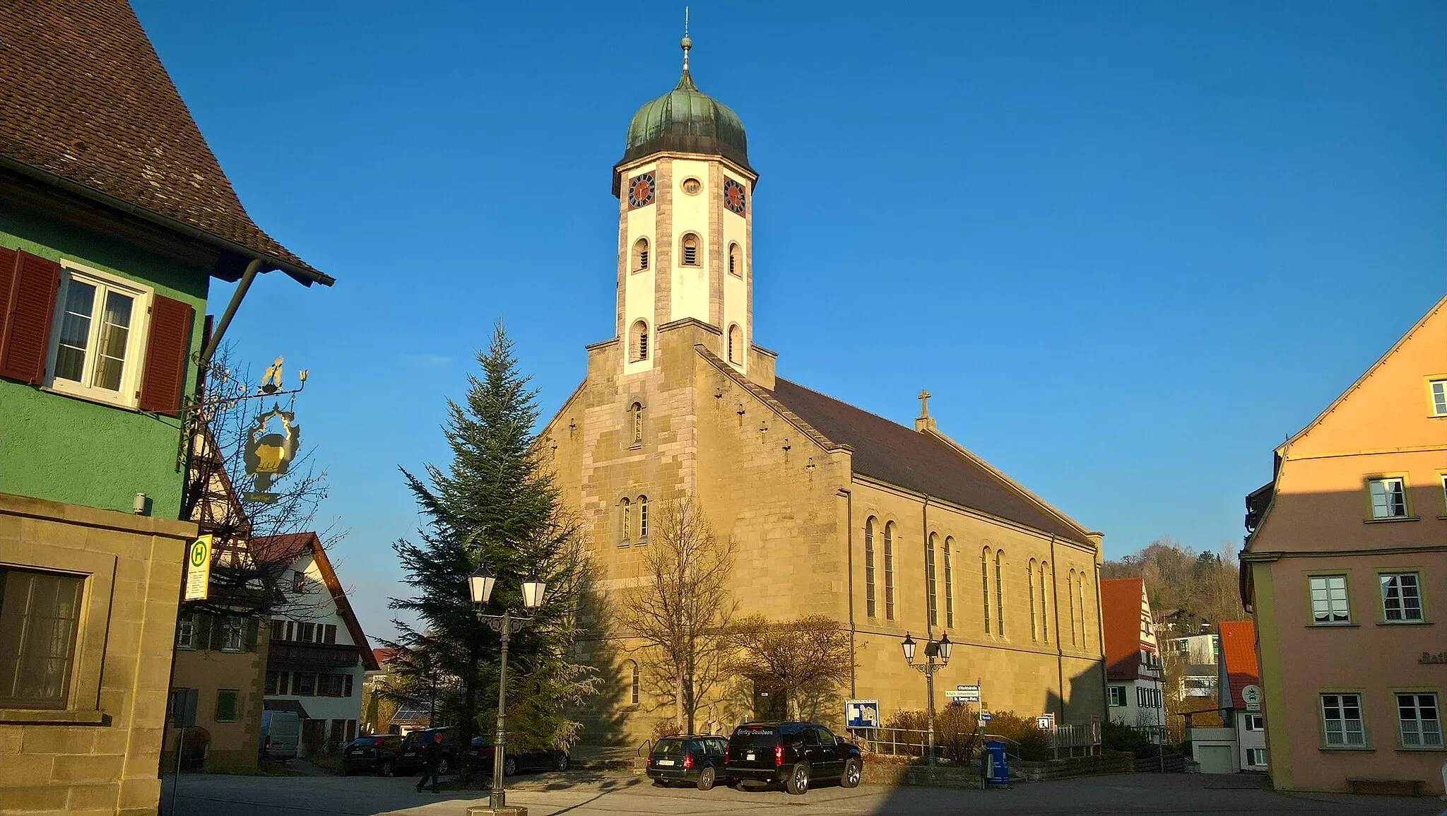
Obersontheim is a small locality located in Stuttgart, Germany. From a cyclist's perspective, Obersontheim offers a mix of road and gravel routes, making it suitable for both types of cyclists. The roads in this area are well-maintained and the scenery is picturesque, with rolling hills and beautiful countryside. There are also several well-known climbs nearby, such as the Hohenloher Ebene climb, which offers a challenging ascent for seasoned cyclists. Overall, Obersontheim is a great destination for cyclists looking for varied terrain and scenic views.
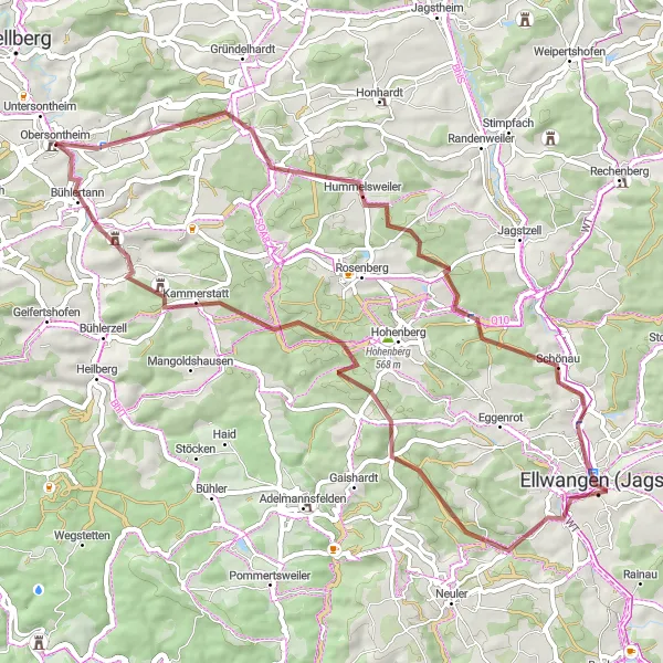
Explore the scenic Lerchenberg and ride through Ellwangen (Jagst)
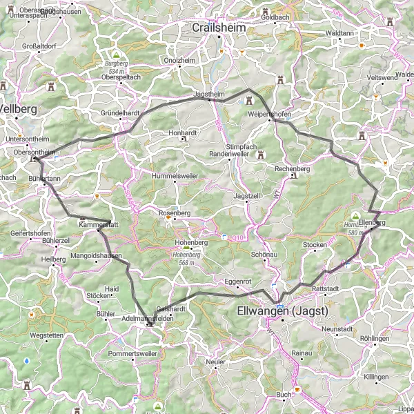
This road cycling route takes you through the beautiful landscape from Obersontheim to Adelmannsfelden. Along the way, you'll have the opportunity to climb the Lerchenberg and enjoy panoramic views. The highlight of the route is Ellwangen (Jagst), a charming town with historical buildings and cobblestone streets. The route covers a distance of 72km and includes an ascent of 991m.
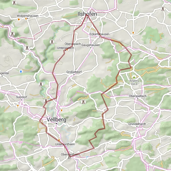
Tales of Vellberg and Kirchberg
Discover the captivating stories of Vellberg and Kirchberg on this scenic road cycling route.
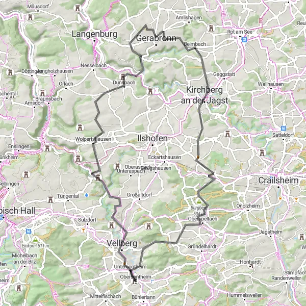
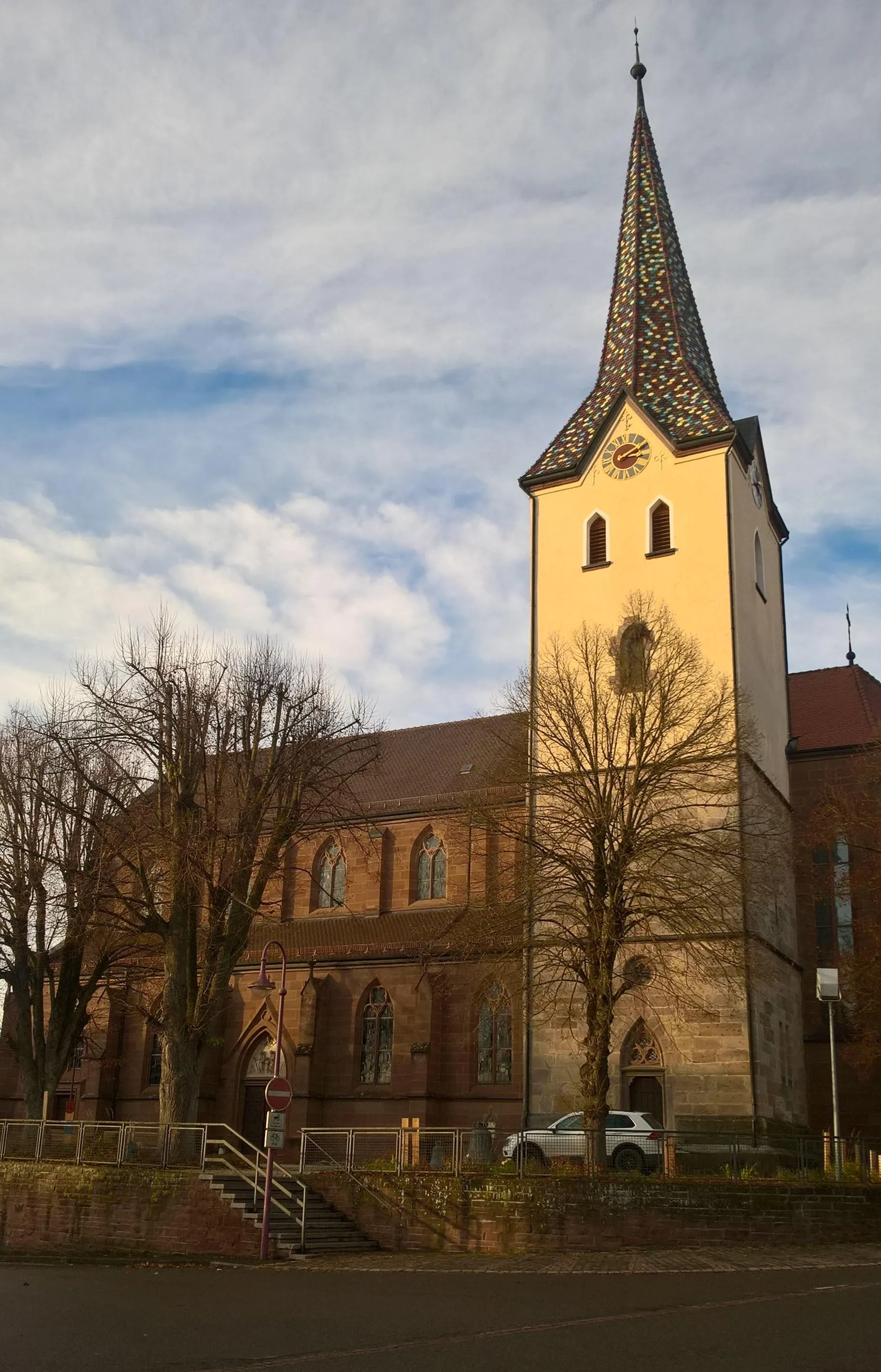
Immerse yourself in the fascinating history of Vellberg and Kirchberg as you ride through picturesque landscapes and charming villages. This route combines moderate ascents with exhilarating descents, offering a rewarding challenge for experienced cyclists. Highlights along the way include Vellberg, the Bastion, Wolpertshausen, Gerabronn, Kirchberg an der Jagst, the Burgbergturm, Merkelbach, and the Hammerberg.
Scenic Road Cycling Tour
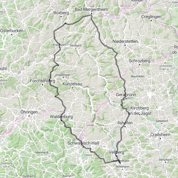
A challenging road cycling tour with stunning views
The Scenic Road Cycling Tour is a challenging route starting near Obersontheim. Covering a distance of 146 kilometers and a total ascent of 2059 meters, this tour is perfect for experienced road cyclists looking for a rewarding challenge. The route takes you through picturesque landscapes and offers breathtaking views along the way.

A scenic gravel route with a challenging ascent
The Herschel Gravel Route is a scenic cycling route starting near Obersontheim. With a distance of 51 kilometers and an ascent of 923 meters, this route offers a challenging ride for experienced cyclists. The route takes you through beautiful landscapes and highlights several picturesque spots along the way.
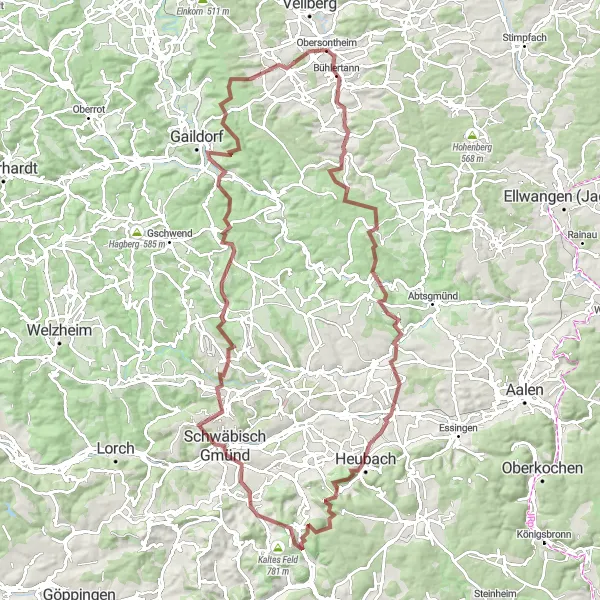
An adventurous gravel route with stunning panoramic views
The Panoramic Gravel Adventure is an exciting cycling route starting near Obersontheim. Covering a distance of 113 kilometers and featuring an ascent of 2128 meters, this route offers a thrilling adventure for gravel enthusiasts. Along the way, cyclists will be treated to stunning panoramic views of the surrounding countryside.
Explore Ellwangen (Jagst) and enjoy the beauty of the landscape
This gravel cycling route starts and ends in Obersontheim, offering a scenic journey through the surroundings. You'll have the opportunity to visit Ellwangen (Jagst), a charming town with a rich history and picturesque architecture. The route covers a distance of 55km and includes an ascent of 679m. Hinteruhlberg is a highlight along the way, offering panoramic views of the rolling hills. Schönberg is another notable spot, known for its scenic beauty and tranquil atmosphere. Obersontheim itself is surrounded by beautiful landscapes, making it an ideal starting and ending point for the route.
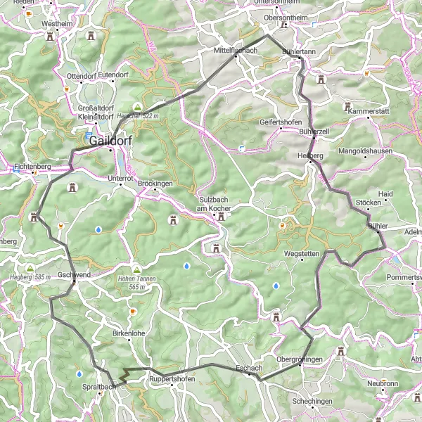
Experience the beauty of nature along this gravel route
This gravel cycling route takes you from Obersontheim to Bühlertann, offering a unique cycling experience through nature. The route covers a distance of 50km and includes an ascent of 665m. Along the way, you'll pass through Hammerberg, a picturesque area surrounded by forests and meadows. Spaichbühl is another highlight, with its beautiful scenery and tranquil ambiance. Bühlerzell is a small village that provides a glimpse into rural life in the region. The route ends in Bühlertann, a charming town with a relaxed atmosphere.
Uncover the hidden beauty of Obersontheim on this scenic gravel ride through tranquil landscapes.
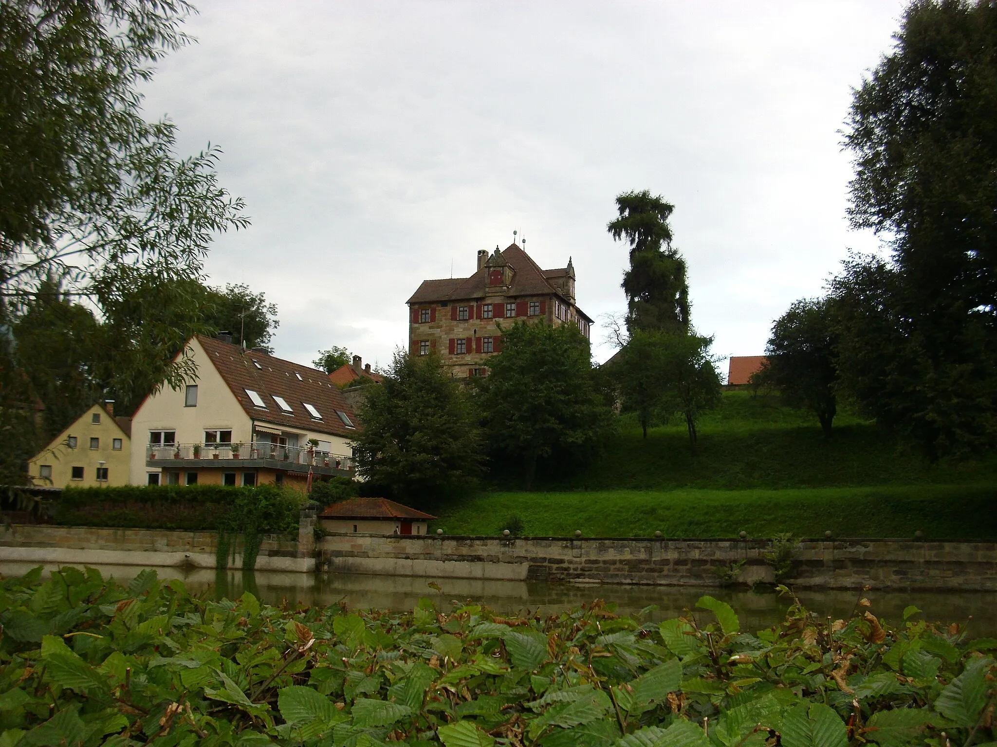
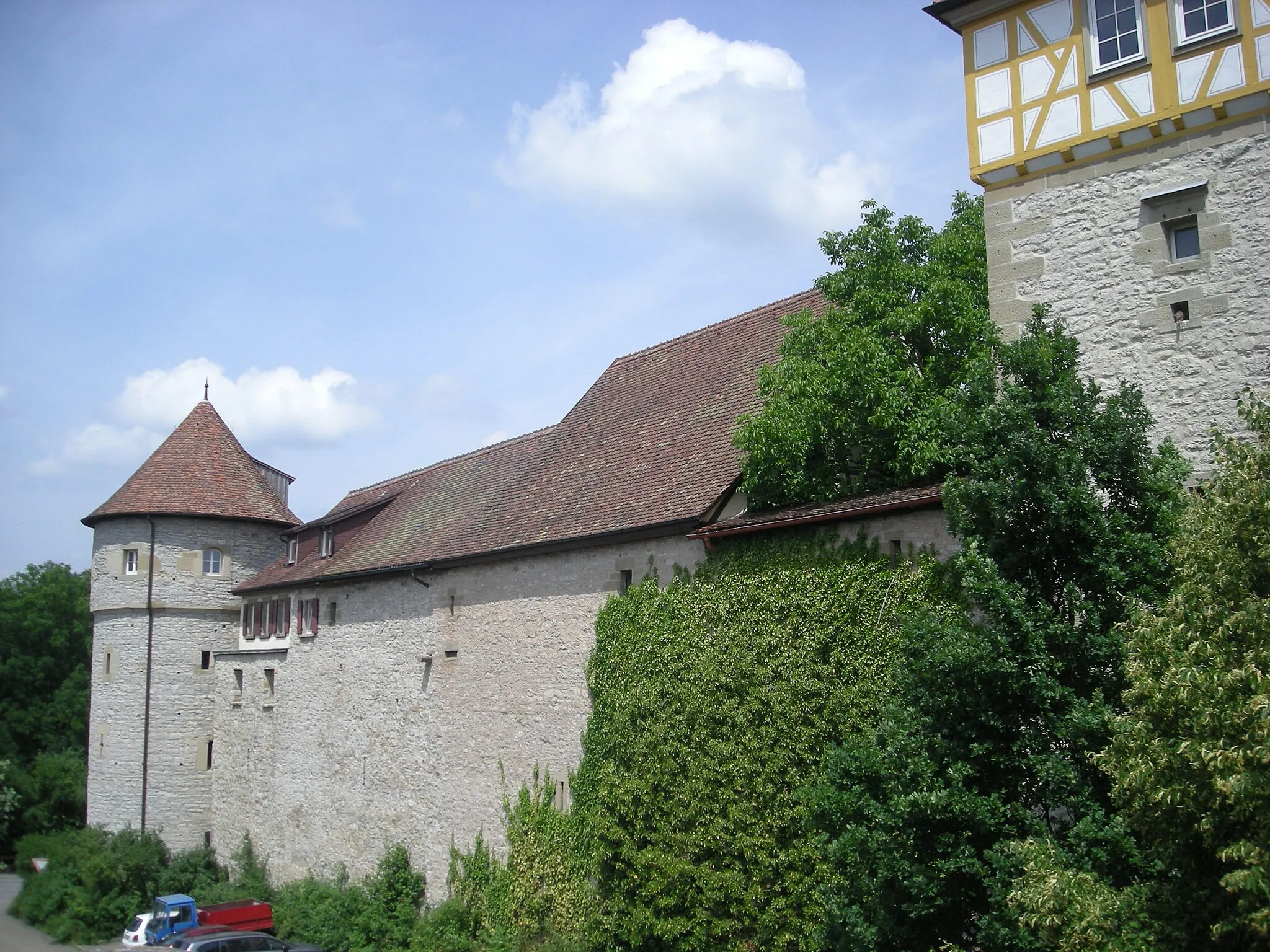
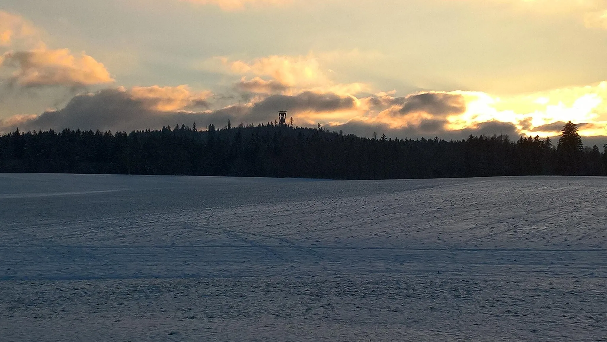
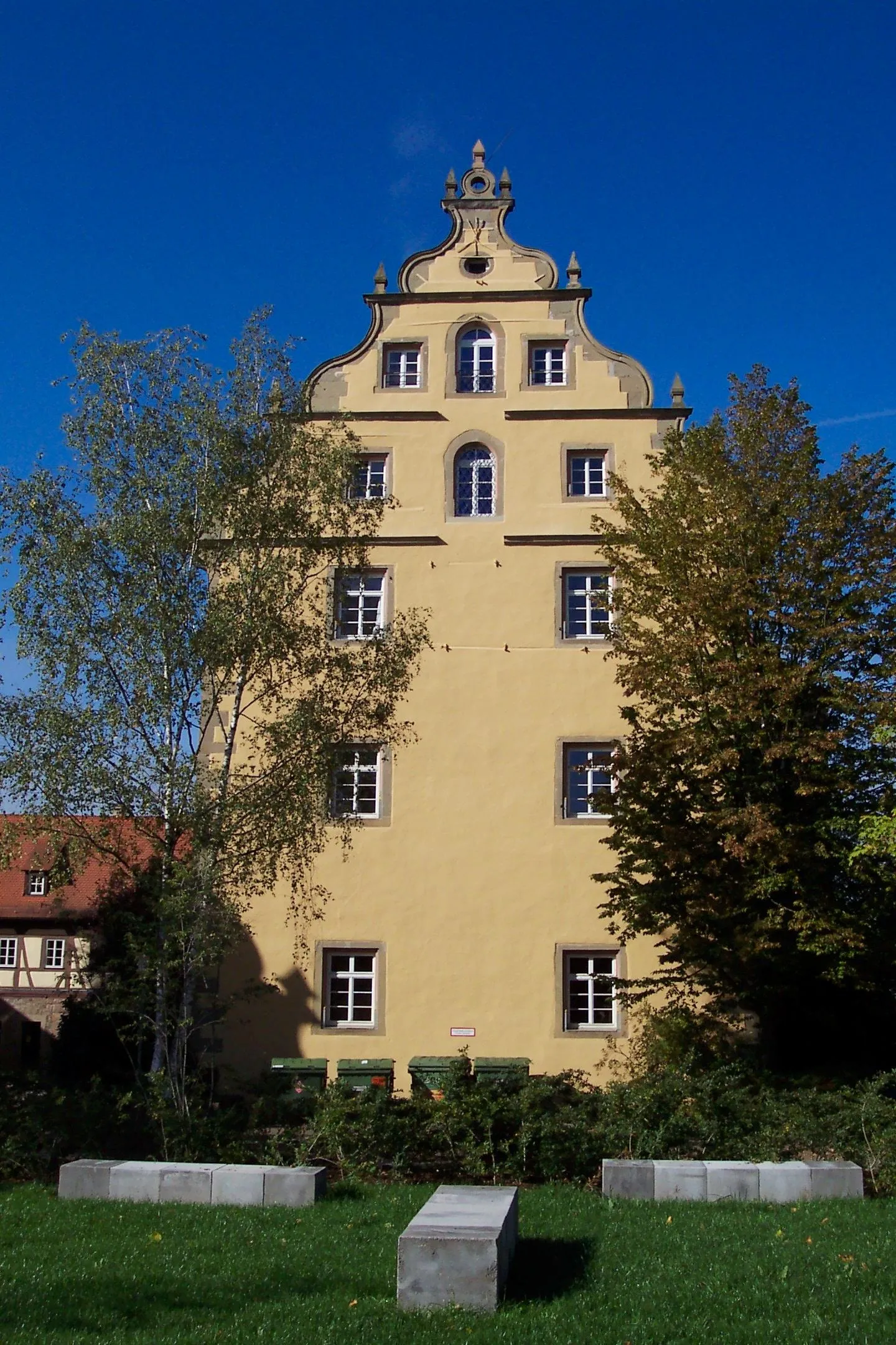
Escape the hustle and bustle of city life as you embark on this immersive gravel ride that meanders through serene forests and idyllic countryside. This route provides a perfect blend of invigorating gravel sections and peaceful stretches, designed to offer both adventure and tranquility. Highlights along the way include Schloß Obersontheim, Ilshofen, the Burgbergturm, Spaichbühl, and a delightful return to Obersontheim.
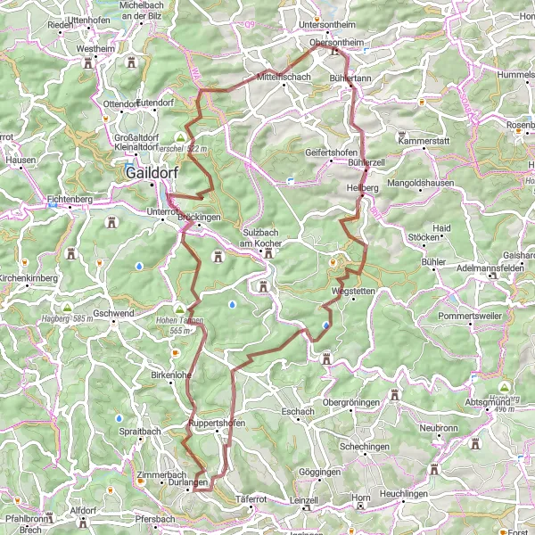
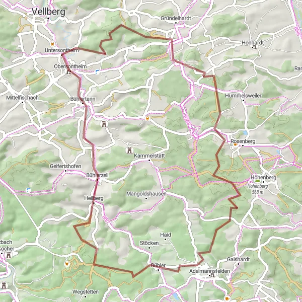
Embark on an epic gravel adventure to the hidden gem of Frickenhofen.
Venture into the wilderness on this exhilarating gravel route that takes you through remote forests, rolling hills, and peaceful meadows. The Frickenhofen Gravel Loop promises an adrenaline-pumping experience while showcasing the natural beauty of the region. Highlights along the way include Bühlerzell, Altenbergturm, Ruppertshofen, Frickenhofen, Hohe Tannen, Herschel, and Rappoltshofen.
Spraitbach and Gaildorf Loop
Explore the picturesque towns of Spraitbach and Gaildorf on this scenic cycling loop.
Embark on a beautiful journey through the charming towns of Spraitbach and Gaildorf while taking in breathtaking views of the surrounding countryside. This route offers a perfect balance of challenging climbs and enjoyable descents, making it an ideal choice for avid cyclists. The highlights along the way include Bühlertann, Bühlerzell, Algishofen, Kirgel, and the spectacular Schloß Obersontheim.
Cycling routes nearby:

Nearby regions: