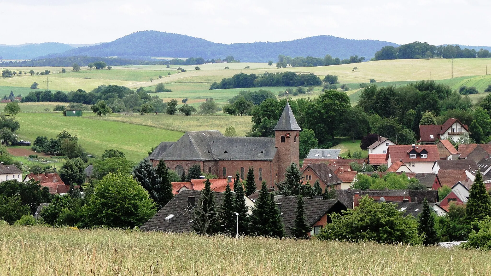
Conquer the Swabian Jura and enjoy the beauty of Plüderhausen's vineyards.
Cycling routes from Pluderhausen
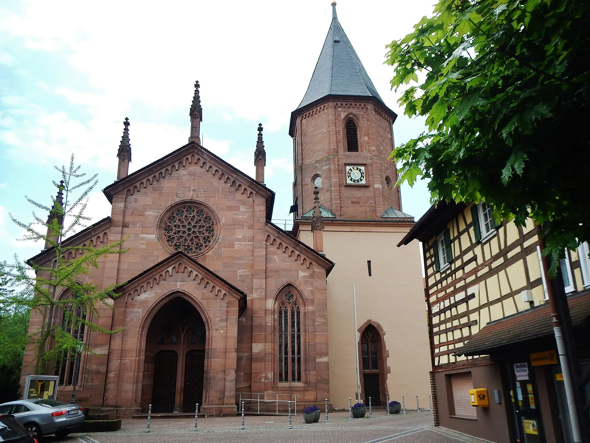
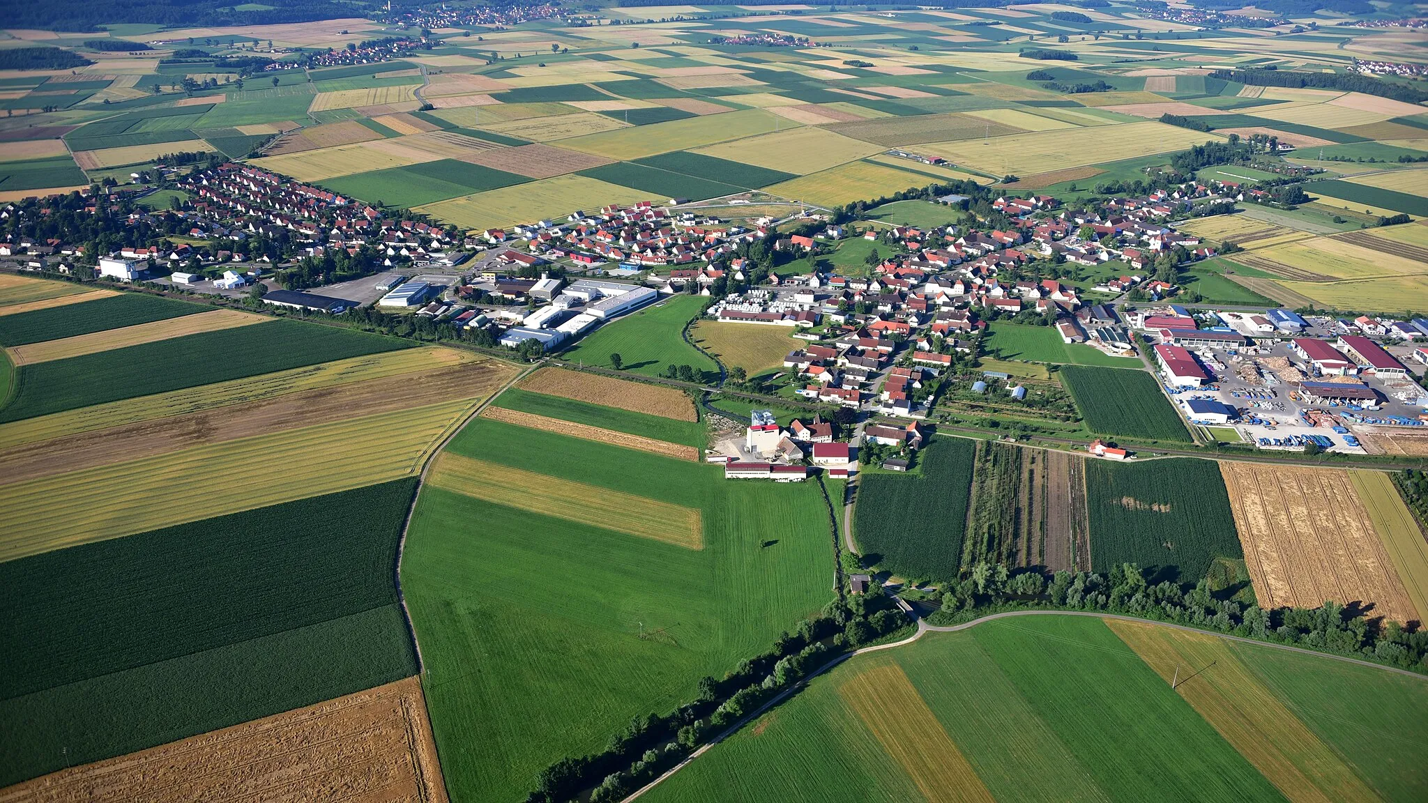
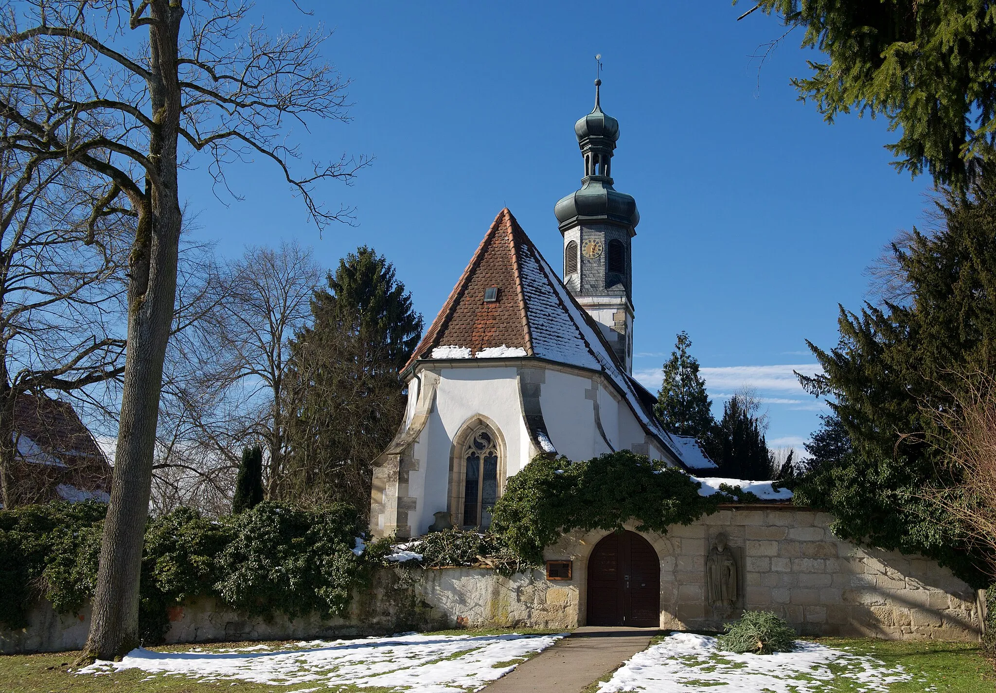
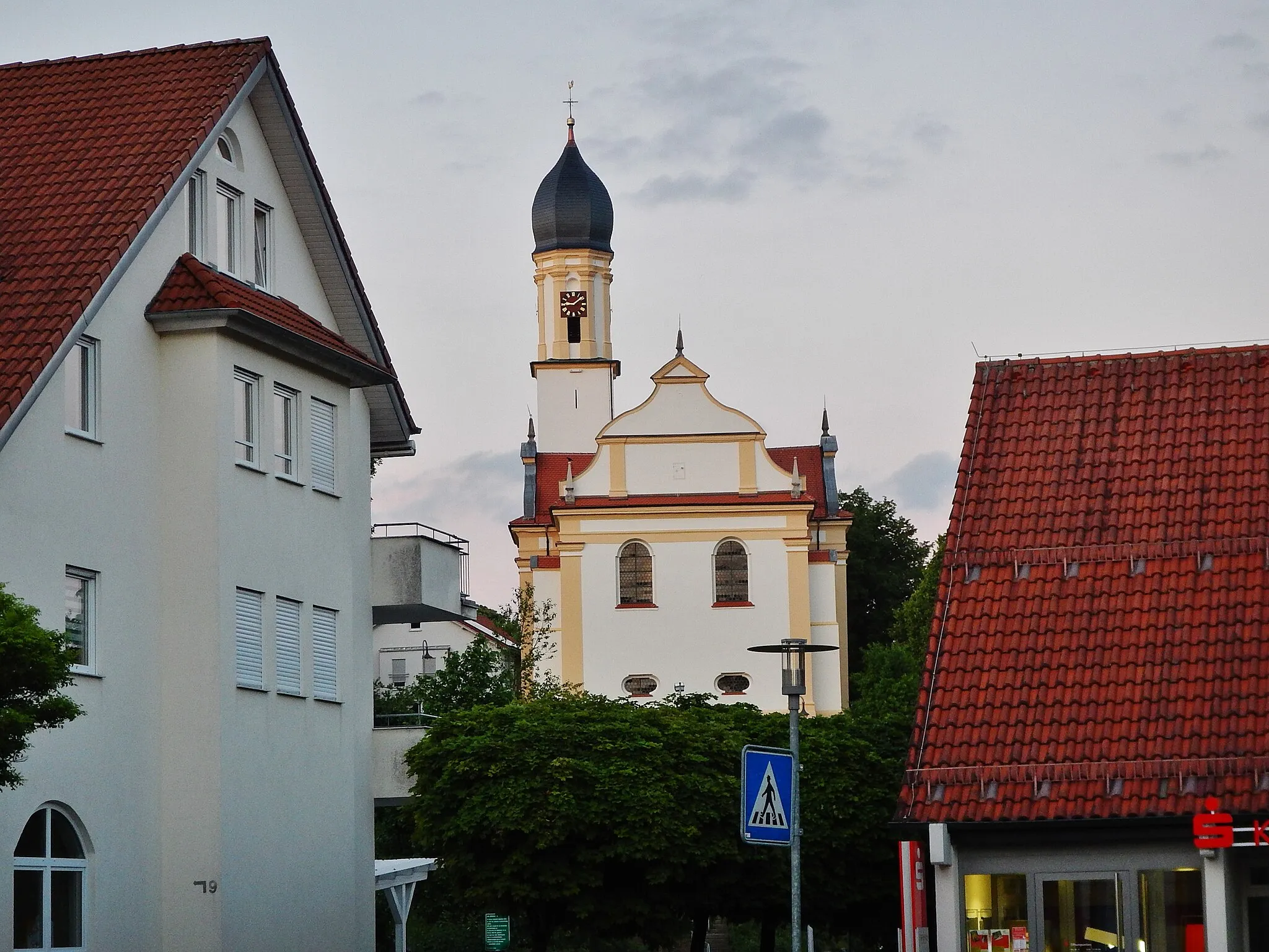
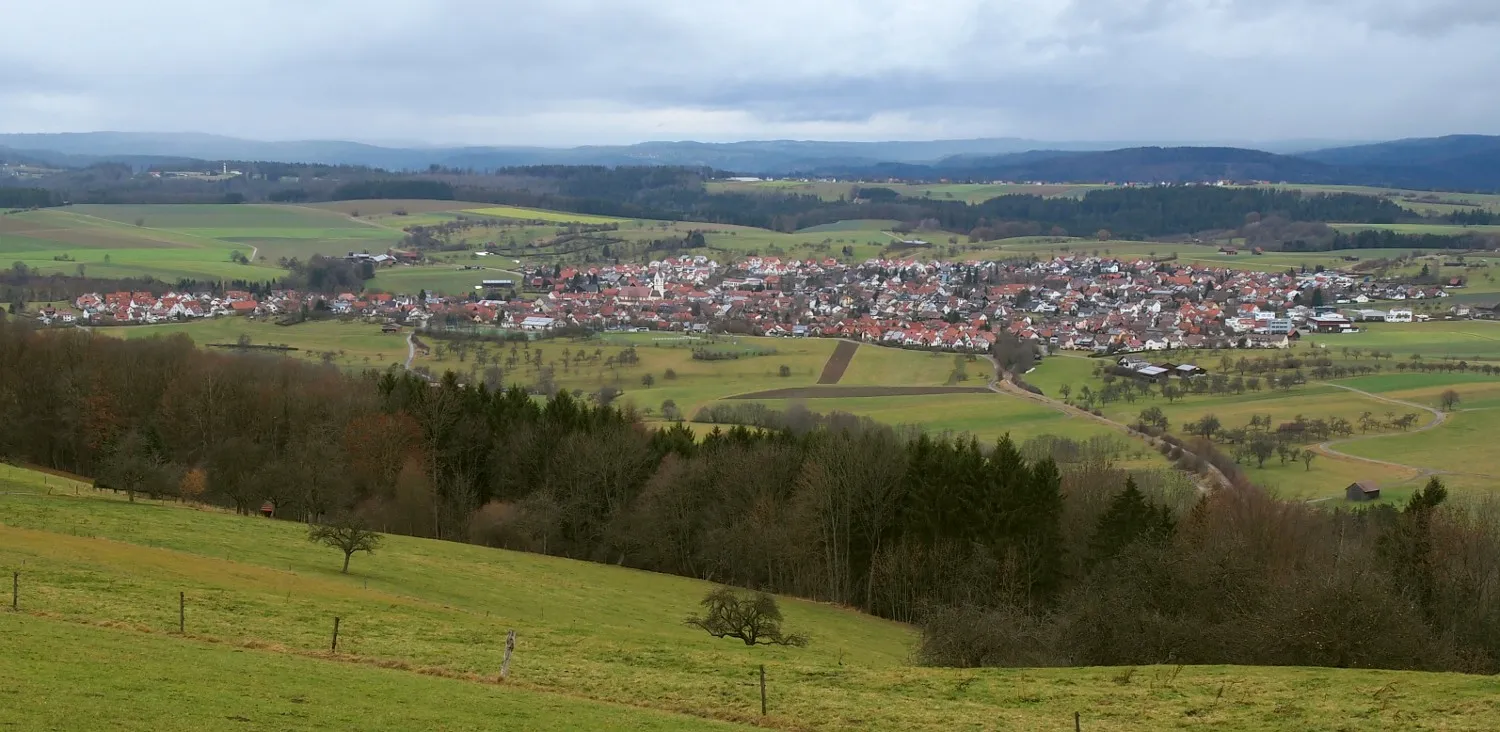
Plüderhausen, situated in Stuttgart, Germany, is a cyclist-friendly locality with picturesque routes and challenging climbs. From exploring the rolling hills to tackling steep ascents, Plüderhausen has something for every cycling enthusiast. People look to this region for its stunning vineyards and the famous cycling spot, the Swabian Jura. With a rank of 4, Plüderhausen is a great destination for road and gravel cyclists.
Road Explorer
Embark on an unforgettable road cycling journey through the stunning landscapes surrounding Stuttgart.
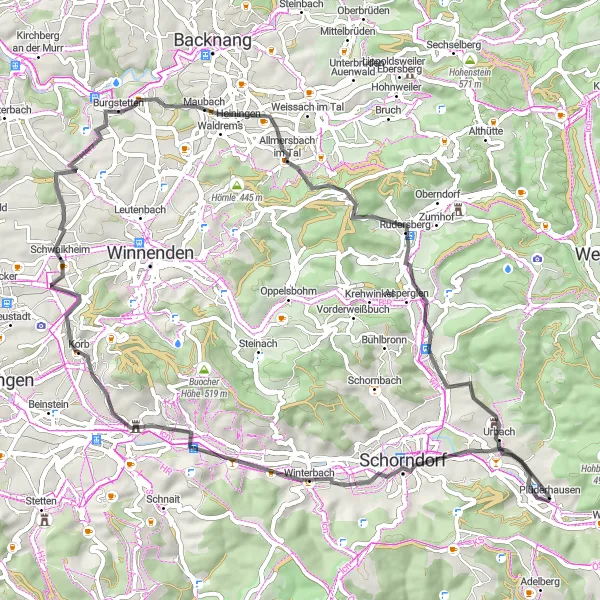
Start your road cycling adventure near Plüderhausen and explore the beautiful surroundings on this 64km route with 589m of ascent. The road surfaces are well-maintained and suitable for various skill levels. Highlights include Ottilienberg, Winterbach, Berghäusle, Schwaikheim, and Burg Urbach. These score highly with picturesque landscapes and interesting attractions along the way. Take a break at Allmersbach im Tal and Bürg, two charming villages featuring traditional architecture and cozy cafes. The route ends back in Plüderhausen where you can reflect on the beauty of the journey.
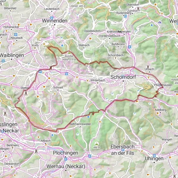
Ottilienberg Loop
Explore the scenic Ottilien Mountain on this road cycling route near Plüderhausen.
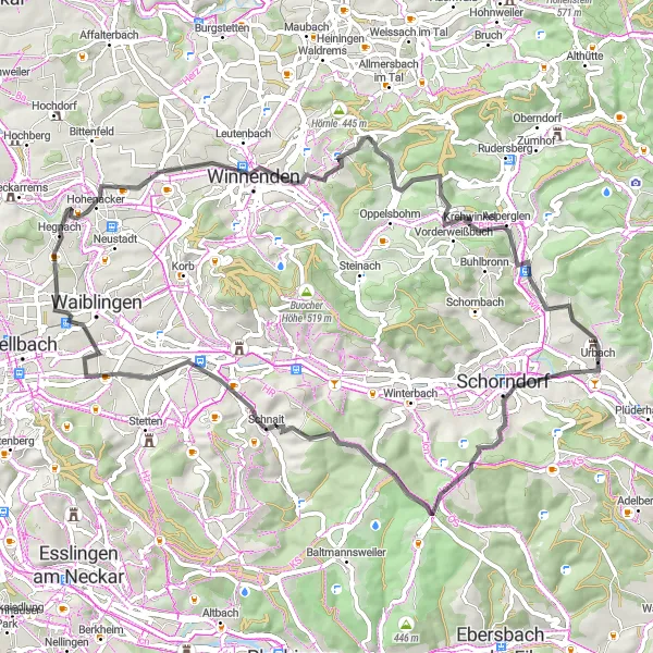
This road cycling route offers stunning views of the Ottilien Mountain and takes you through picturesque villages and beautiful countryside. With a total distance of 67 kilometers and 864 meters of ascent, this route provides a challenging yet rewarding experience for well-trained amateurs. The highlights along the route include the historic Diebsturm tower in Urbach and the charming village of Miedelsbach.
Embark on a challenging gravel adventure through diverse landscapes
This adventurous gravel route near Plüderhausen takes you through diverse landscapes, challenging ascents, and picturesque villages. With a distance of 96 km and an elevation gain of 1861 m, it's suitable for experienced gravel cyclists. Enjoy the scenic beauty of Urbach, Schäbisch Gmünd, Heuberg, and other highlights along the way.
Serene Gravel Escape
Embark on a peaceful gravel escape through the tranquil landscapes of Baden-Württemberg.
Indulge in the calm beauty of Baden-Württemberg on this 62km gravel route with 928m of ascent. Starting near Plüderhausen, you'll be surrounded by lush greenery and rolling hills. Highlights include Hintere Schur, Schlichten, Kimmichsweiler, Torbogen "Tor ins Remstal", and Grafenberg. These highlights are well worth exploring, offering a mix of natural beauty, historical significance, and serene landscapes. Get ready for peaceful gravel trails and rewarding climbs, suitable for experienced amateurs. Buocher Höhe and Schloss Großheppach are two attractions that provide magnificent views. Conclude your journey by returning to Plüderhausen, where you can reflect on the serene beauty you encountered.
Heuberg Route
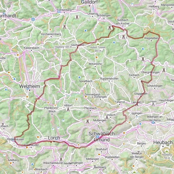
Explore the scenic Heuberg area on this gravel cycling route near Plüderhausen
This gravel route takes you through the picturesque Heuberg area, known for its beautiful landscapes and charming villages. With a total distance of 88 km and an ascent of 1542 m, this route is suitable for experienced gravel cyclists. Along the way, you'll encounter highlights such as Meuschenmühle, Gschwend, Hohe Tannen, and Schloss Leinzell.
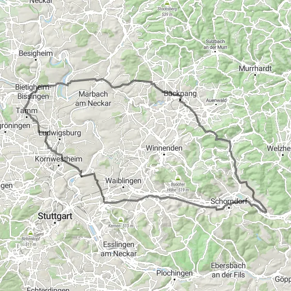
Embark on an adventurous road cycling journey through Winterbach and its scenic surroundings.
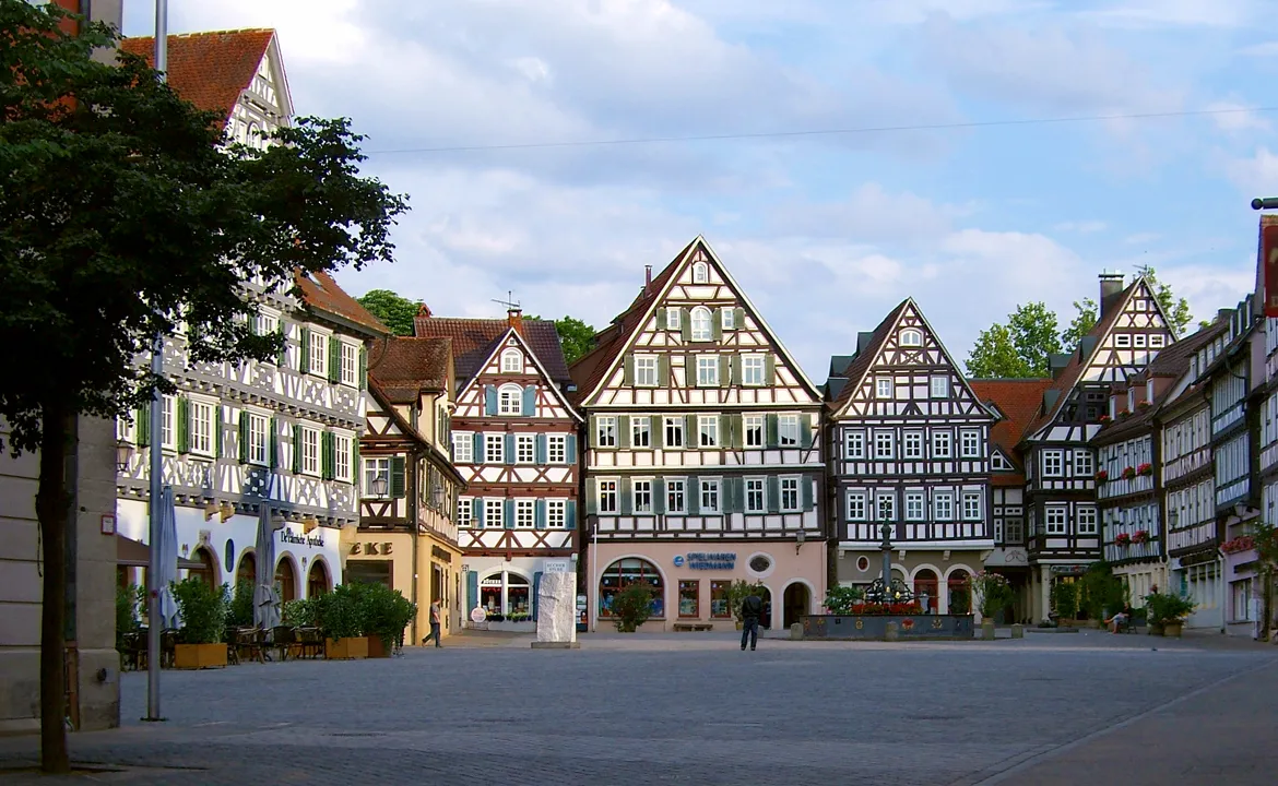
The Winterbach Adventure is a 104-kilometer road cycling route with 893 meters of ascent, offering a challenging yet rewarding experience for experienced cyclists. This route takes you through the charming village of Winterbach, known for its timber-framed houses and historic town center. Along the way, you'll also pass by the picturesque Fellbach Landing Bridge and enjoy breathtaking views from the Hohenasperg hill. Bietigheim-Bissingen is another highlight along the route, with its beautiful castle and vibrant town atmosphere.
Ultimate Road Challenge
Conquer legendary climbs and marvel at stunning viewpoints on this ultimate road cycling challenge near Stuttgart.
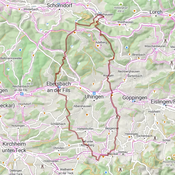
Experience the ultimate road cycling challenge near Stuttgart with this 109km route and an impressive total ascent of 1404m. The difficulty level is suitable for well-trained amateurs seeking an epic adventure. Highlights include Urbach, Hintere Schur, Bünzwangen, Aussichtsplatte Würstlesberg, Ersberg, Neckartailfingen, Kimmichsweiler, Schönbühl, Hebsack, and Hochzeitsturm Station 6. These attractions offer panoramic views, challenging climbs, and historical landmarks. Hebsacker, renowned for its spectacular viewpoint, scores highly in epicness. The route concludes back in Plüderhausen, where you can reflect on the achievements and breathtaking landscapes encountered.
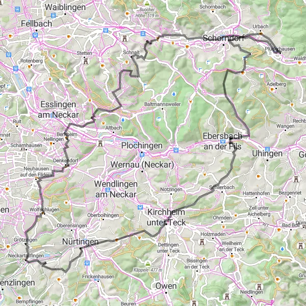
Explore the charming countryside near Plüderhausen
This gentle gravel route takes you through scenic landscapes and charming villages near Plüderhausen. With a distance of 72 km and an elevation gain of 1296 m, it offers a moderate challenge for cyclists. Enjoy the tranquility of nature as you ride past highlights such as Pfaffenhau, Dachsbühl, and Reichenbach an der Fils.
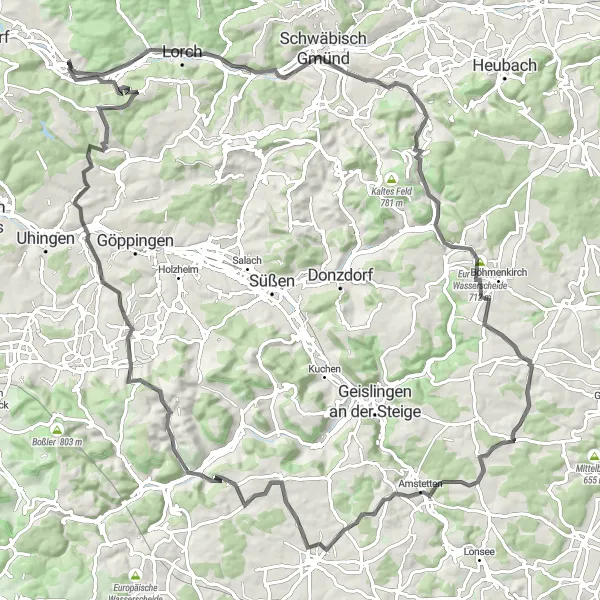
Embark on a challenging road cycling journey with breathtaking ascents
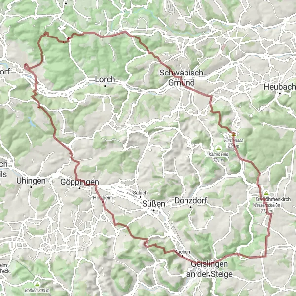
This road cycling route from Plüderhausen promises an exhilarating and challenging adventure for experienced cyclists. With a distance of 111 km and an ascent of 1583 m, it's suitable for those seeking a challenging ride. Experience the thrill as you conquer highlights like St. Salvator, Furtlepass, Europäische Wasserscheide, and many more.
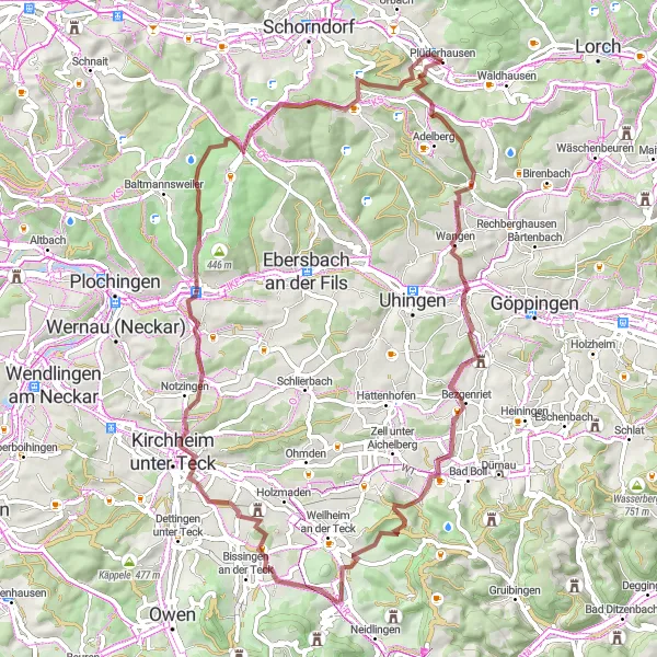
Immerse yourself in the natural beauty of the Swabian Alps on this captivating gravel journey.
Experience the awe-inspiring landscapes of the Swabian Alps on this 54km gravel route with 937m of elevation gain. Starting in Plüderhausen, this ride takes you through picturesque villages and breathtaking mountain views. Highlights along the way include Faurndauer Linde, Zell unter Aichelberg, Ebersbach an der Fils, Diegelsberger Platte, and Hintere Schur. These attractions offer a mix of natural beauty, historical significance, and unique landmarks. Hintere Schur stands out as particularly scenic and rewarding. This route provides moderate difficulty, suitable for experienced amateurs. Don't miss the captivating beauty of the Swabian Alps as you loop back to Plüderhausen.
Cycling routes nearby:
Nearby regions: