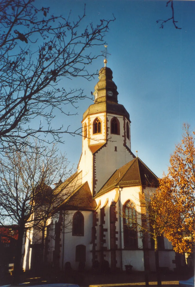
Cycling-friendly Schönaich amidst stunning countryside.
Cycling routes from Schonaich
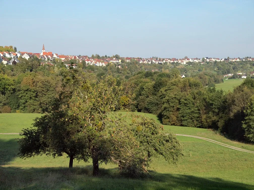
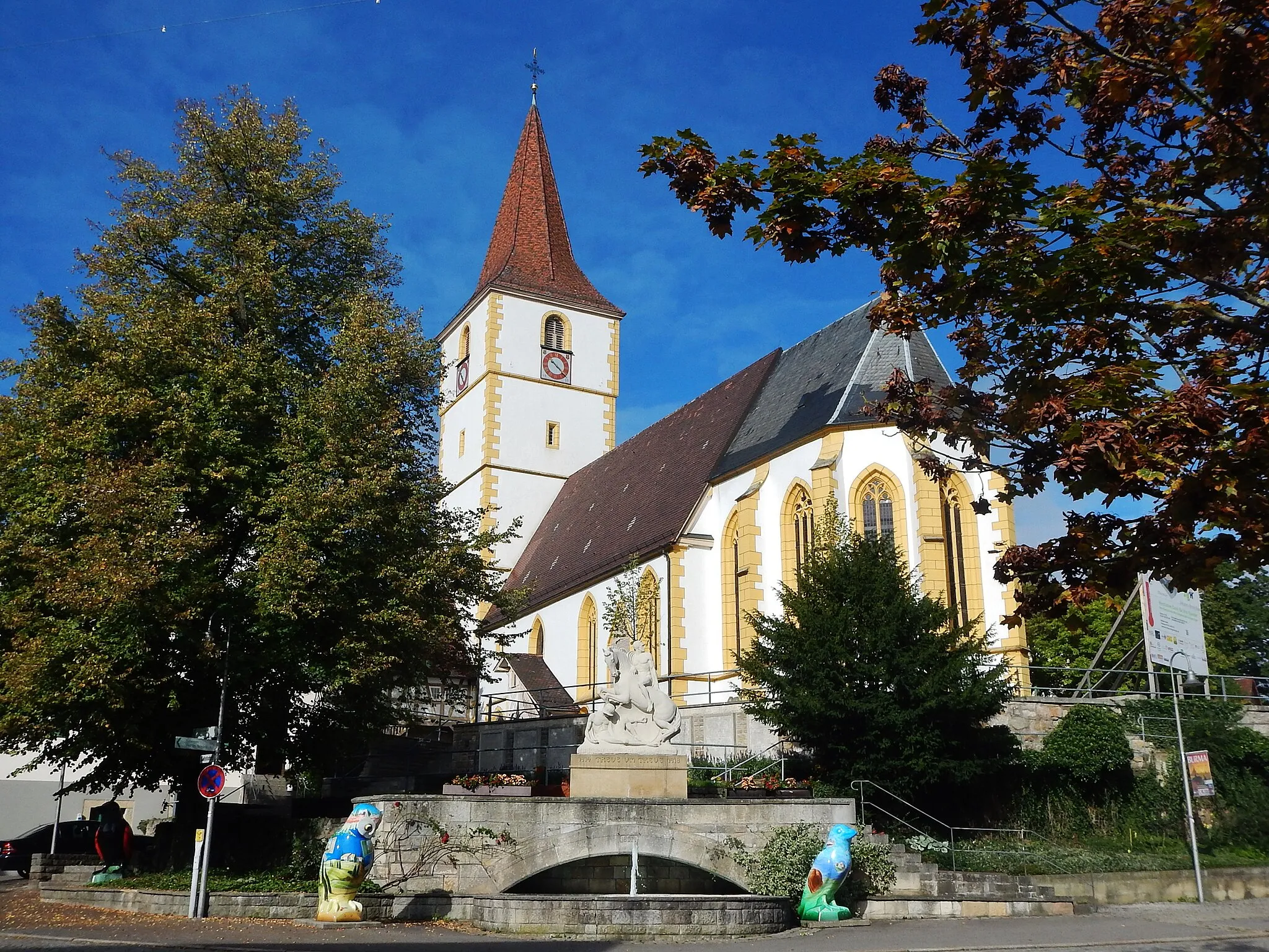
Schönaich is located in the region of Stuttgart, Germany. As a cyclist, Schönaich offers a network of well-maintained roads and scenic landscapes. The locality is surrounded by rolling hills, making it perfect for gravel cycling. There are several well-known gravel paths and trails in the area that attract gravel cyclists. With its cycling-friendly roads and beautiful countryside, Schönaich is a popular destination for both road and gravel cyclists.
Embark on a scenic adventure through Stuttgart's varied landscapes and iconic landmarks
Explore Stuttgart's diverse landscapes and iconic landmarks on this road route starting near Schönaich. With a distance of 101 kilometers and an ascent of 1113 meters, it offers a rewarding challenge for cycling enthusiasts. The charming village of Schönaich is just the beginning, followed by panoramic views from Aussichtspunkt Rauher Kapf. Enjoy the historical architecture of Oberer Schlossberg and Gerlingen, and immerse yourself in the vibrant city of Ludwigsburg. Admire the beauty of the Hungerberg and the tranquil atmosphere of Untertürkheim. The route takes you to Sielmingen and concludes with a visit to the idyllic village of Waldenbuch. Don't miss the breathtaking views from Steinenberg hill along the way.
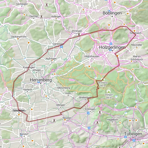
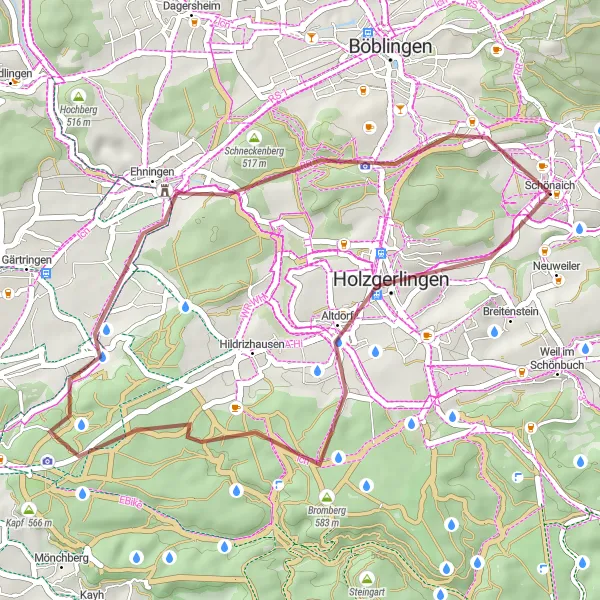
A scenic gravel route through beautiful landscapes near Schönaich
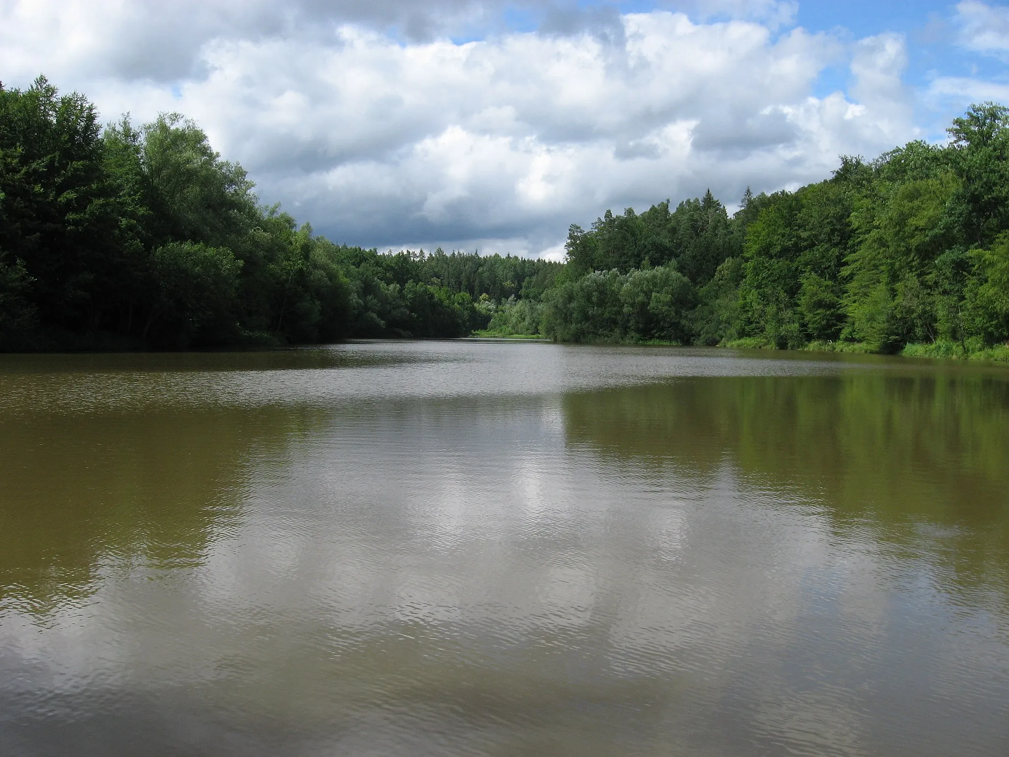
This route takes you on a picturesque journey through the surrounding areas of Schönaich. With a total distance of 58 km and an elevation gain of 735 m, this gravel ride offers a challenge for both amateur and experienced cyclists. The route features several highlights along the way, including the charming town of Holzgerlingen, the rustic Bromberg village, and the stunning view from the Schönbuchspitz hill. As you continue your ride, you will pass through the scenic landscapes of Gäufelden and enjoy panoramic views from the Ehningen viewpoint. The highlight of the route is the famous Rauher Kapf lookout point, offering breath-taking vistas of the region. Finally, the ride concludes in Schönaich, where you can relax and reflect on your cycling adventure.
Gravel Adventure to Hochen
Unleash your adventurous side and explore the scenic route to Hochen
Embark on a gravel adventure starting near Schönaich, taking you through picturesque landscapes and challenging terrain. This 52 km route offers a rewarding uphill climb of 818m, leading you to the town of Hochen.
Explore scenic gravel roads and iconic landmarks near Schönaich
Discover the natural beauty of the Schönaich region with this 35 km gravel route. With an ascent of 521 m, this ride offers enjoyment for both intermediate and experienced cyclists. The route features several highlights, including the famous Aussichtspunkt Rauher Kapf viewpoint, where you can admire panoramic vistas of the surrounding countryside. Continue your journey to the Schlösslesalleehütte, a charming mountain hut nestled in the heart of nature. Take a break here and enjoy a picnic while soaking in the peaceful atmosphere. As you head back to Schönaich, pass by the historic Schönaicher Linde, an iconic tree that has witnessed centuries of history. Finish your ride in Schönaich, where you can celebrate the completion of a rewarding cycling adventure.
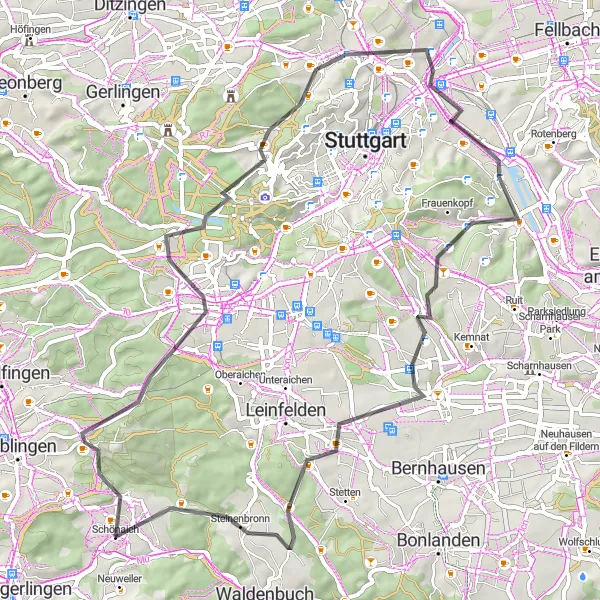
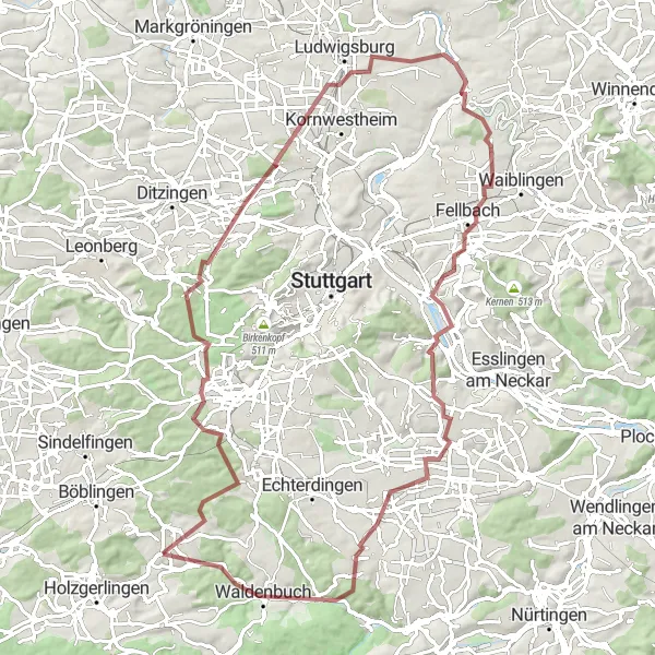
Explore the scenic beauty of the Schönaich region and discover its hidden gems
This round-trip cycling route starting near Schönaich takes you through the picturesque landscapes of the Stuttgart region. With a total distance of 63 kilometers and an ascent of 876 meters, this road route offers a moderate challenge. It showcases the natural beauty of the area, including beautiful viewpoints like Rauher Kapf and iconic landmarks such as Birkenkopf hill. The route also passes through Botnang and the impressive Killesbergturm tower. For sports fans, a visit to the Porsche-Arena is a must, while the Monopteros offers a tranquil spot to relax. Adventure enthusiasts will enjoy exploring the Harvard AT-6 Gard and Steinenberg.
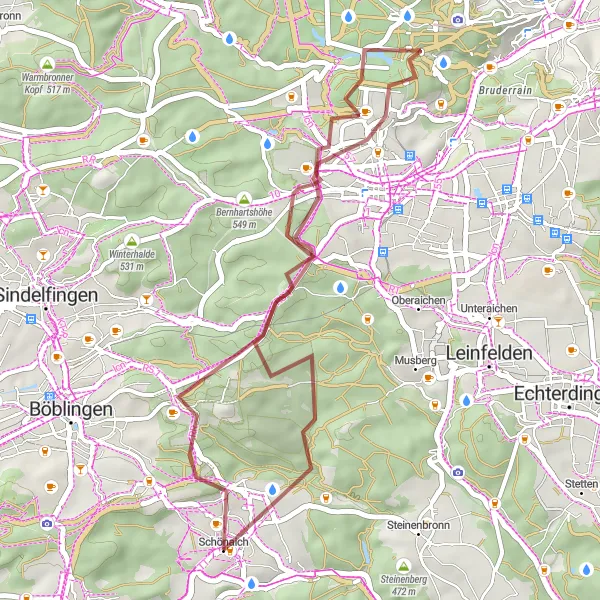
Embark on a short and adventurous gravel loop showcasing the idyllic countryside near Schönaich
Explore the countryside surrounding Schönaich with this 33 km gravel adventure. The route offers a modest ascent of 369m, leading cyclists through charming villages and scenic paths.
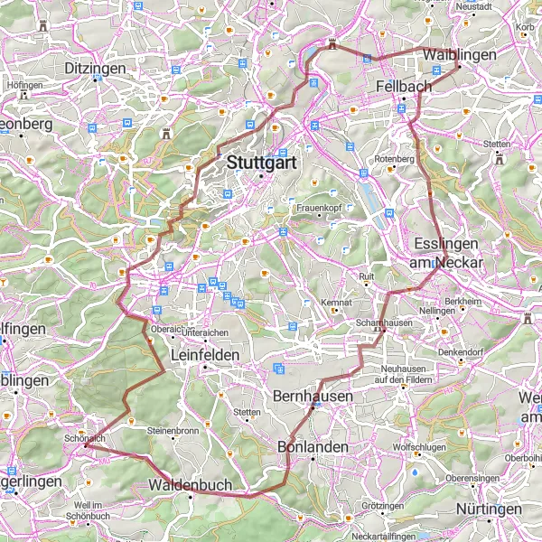
Embark on an epic gravel adventure through the stunning Stuttgart countryside
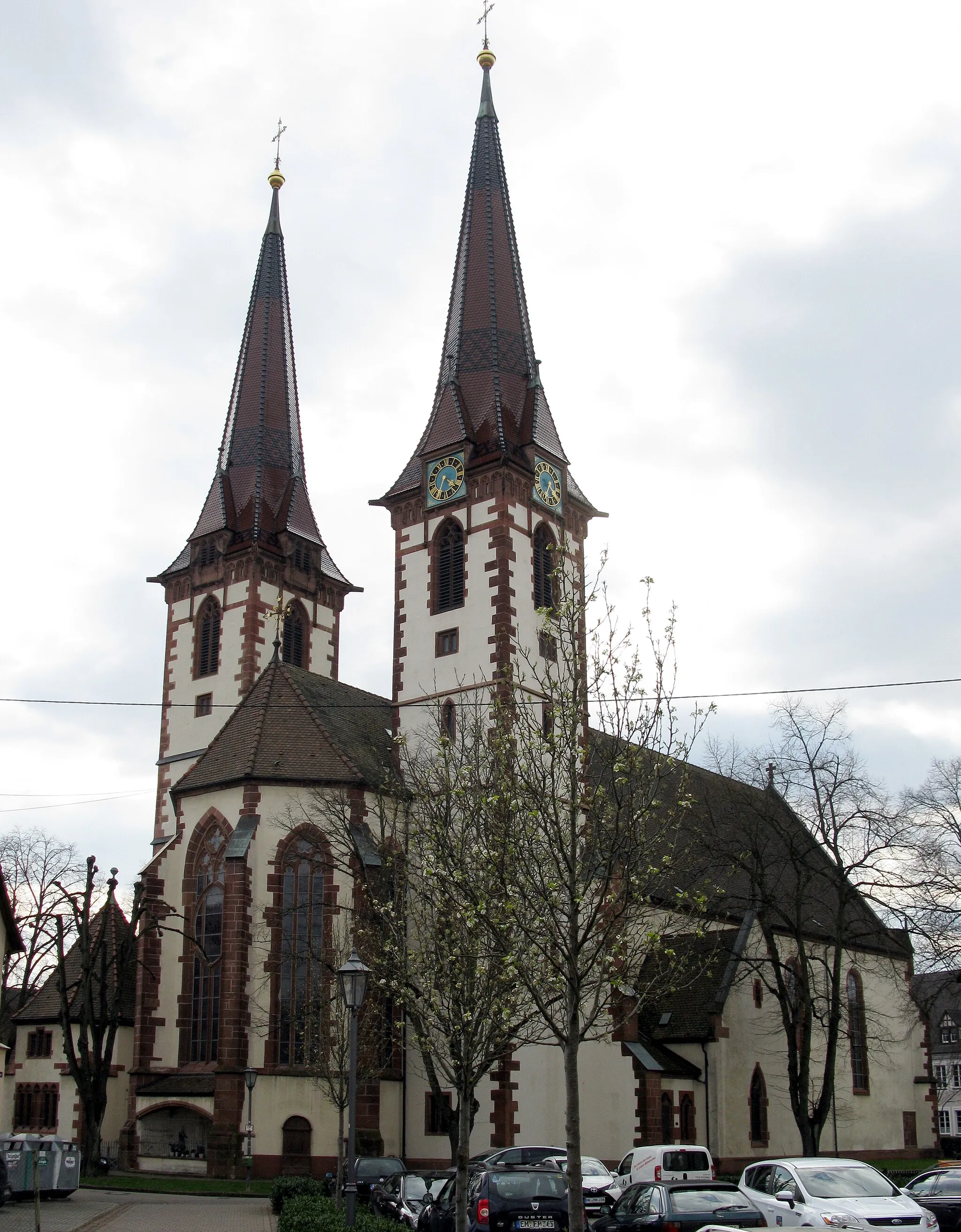
For those seeking a gravel challenge, this round-trip route starting near Schönaich is perfect. With a distance of 82 kilometers and an ascent of 1360 meters, it offers a thrilling adventure. Throughout the ride, you'll encounter diverse landscapes and stunning views. Highlights include the Musberger Schlossberg and the historical Musberg village. The route also takes you to Birkenkopf, the icon of Stuttgart, and the Weißenhofsiedlung, a renowned architectural landmark. Further along, you will pass through Waiblingen, offering a picturesque setting with its charming city center and the impressive Hochwachtturm. Other highlights include the Götzenberg and the historic town of Esslingen am Neckar.
Embark on a journey through nature and history, exploring the stunning gravel tracks
This gravel route starting near Schönaich offers an unforgettable adventure through nature and history. Covering a distance of 92 kilometers and featuring an ascent of 1285 meters, it is a challenge for gravel enthusiasts. Immerse yourself in the stunning landscapes as you climb the Musberger Schlossberg and explore the historical village of Musberg. Enjoy breathtaking views from the Schillerhöhe and marvel at the grandeur of Schloss Solitude. The route passes through the enchanting Solarfeld and the picturesque Schloss Oßweil. Discover the beauty of Fellbach and the historical significance of Württemberg. Spot airplanes at the Airport Spotting Point South and appreciate the natural surroundings at Waldenbuch. Conclude your journey with a visit to the scenic Hirtensitz hill.
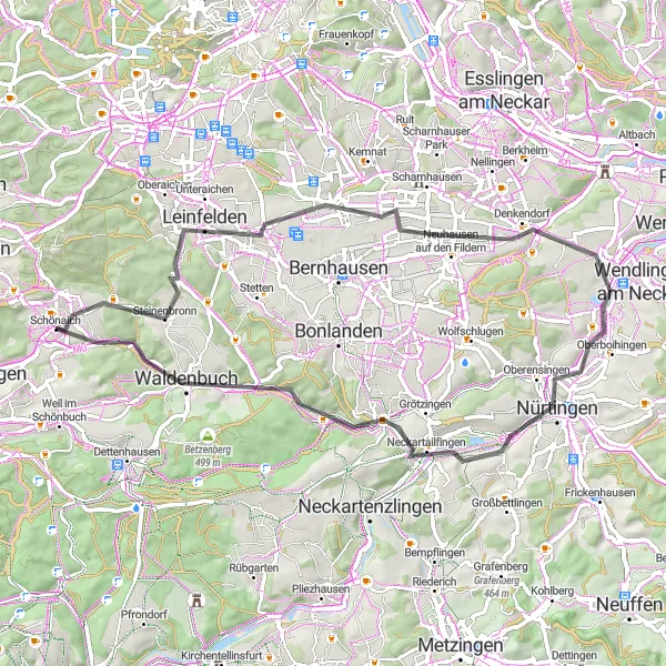
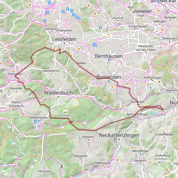
Experience the charm of Steinenbronn and explore the enchanting surroundings
This road route starting near Schönaich leads you through rolling hills and charming towns. Spanning 62 kilometers with an ascent of 521 meters, it offers a refreshing and moderately challenging experience. Steinenbronn, a quaint town along the route, is known for its picturesque landscapes. Eichberg provides stunning vantage points, while Monopteros offers a serene atmosphere. Neuhausen auf den Fildern impresses with its historical architecture, and Nürtingen boasts a delightful city center. As you pass through Neckartailfingen, be sure to appreciate its idyllic setting. The route also takes you up to the summit of Uhlberg and Hirtensitz hill.
Unleash your adventurous spirit on this challenging gravel route through picturesque landscapes near Schönaich.
Embark on an exciting gravel adventure that takes you through stunning landscapes in the vicinity of Schönaich. This 71-kilometer route offers a thrilling mix of gravel roads and scenic trails, promising an unforgettable cycling experience. With a total ascent of 984 meters, be prepared to conquer some challenging climbs and enjoy breathtaking views along the way. Whether you're a gravel enthusiast or simply seeking a thrilling cycling adventure, this route is sure to meet your expectations and leave you with lasting memories.
Cycling routes nearby:


Nearby regions: