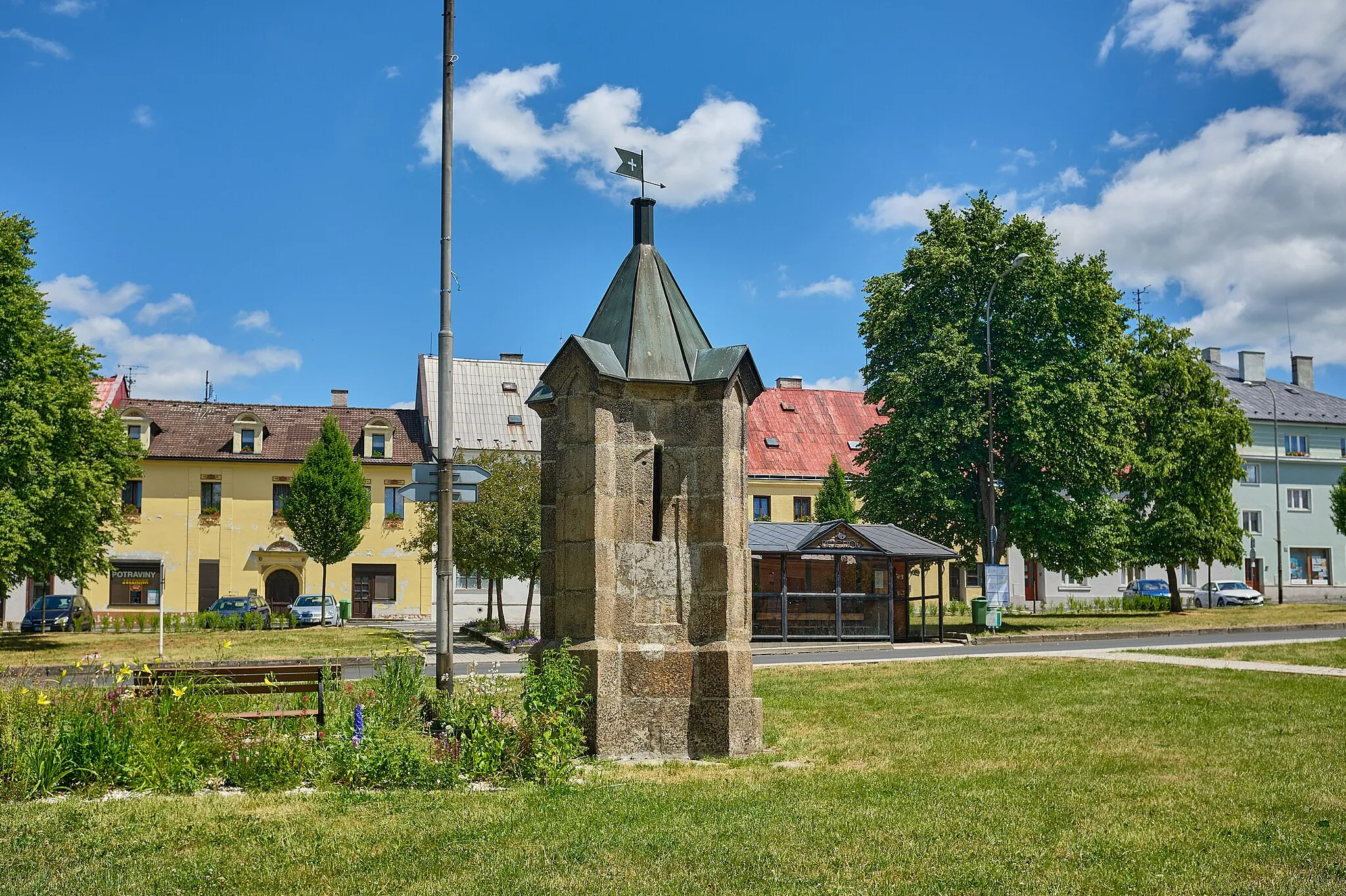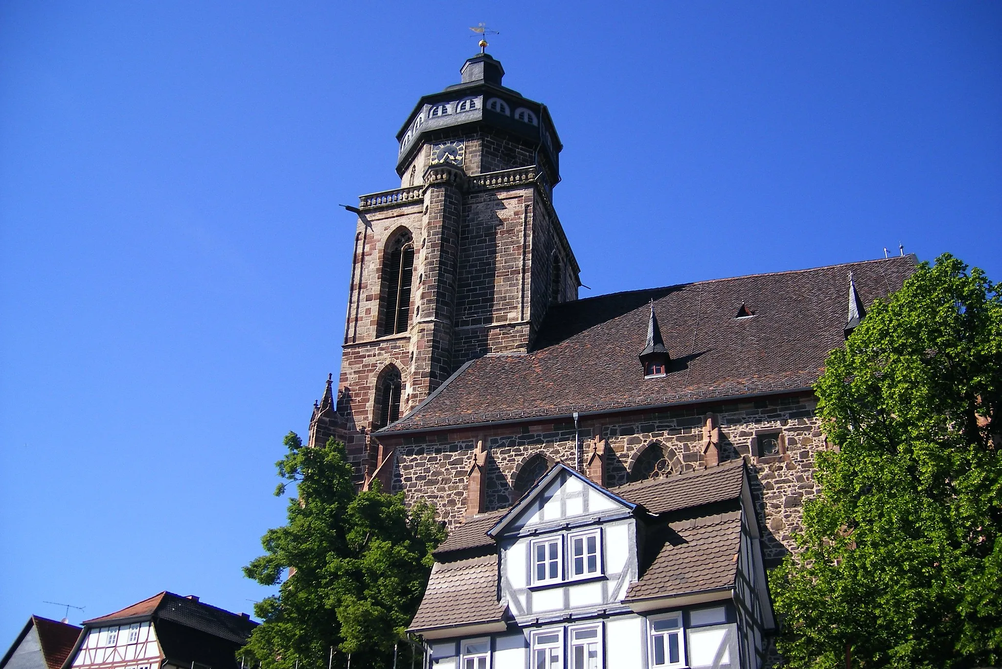
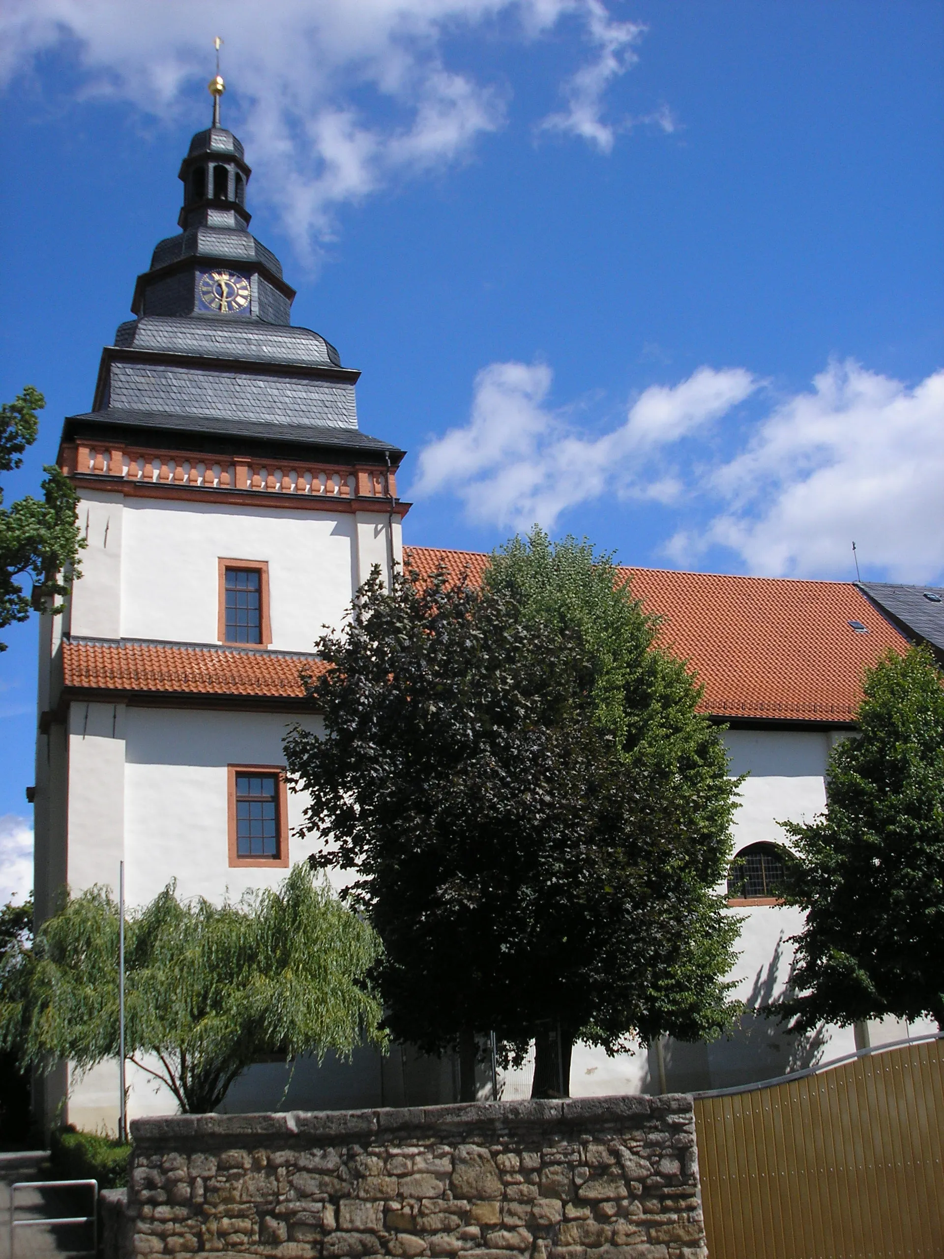
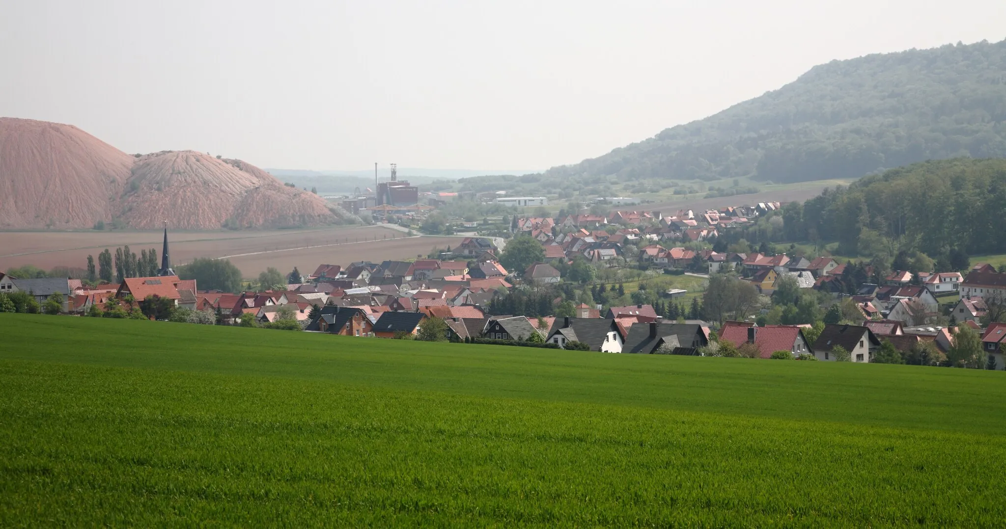
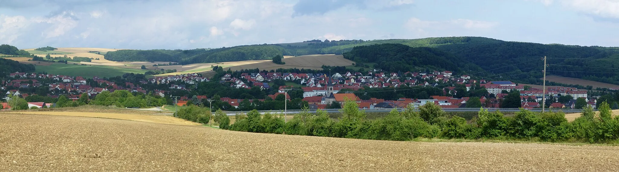
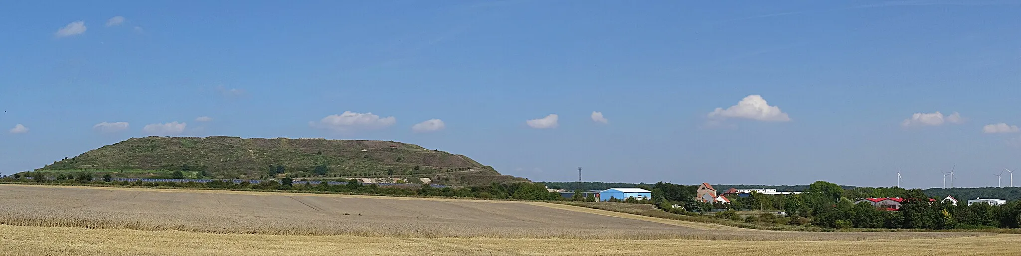
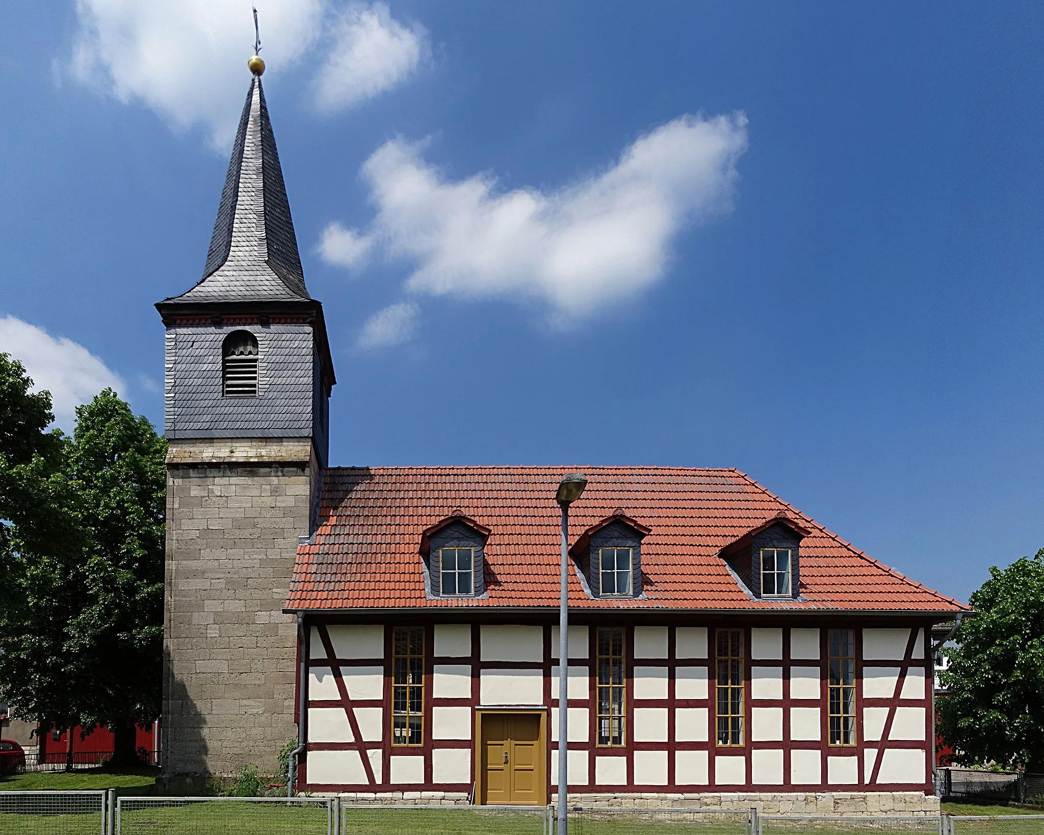
Bleicherode, Germany - A Cyclist's Paradise in Thüringen
Cycling routes from Bleicherode
Bleicherode in Thüringen, Germany is a cyclist's paradise with diverse routes and breathtaking landscapes. Cyclists can enjoy exploring scenic countryside, rolling hills, and beautiful valleys. The region offers well-maintained cycling paths, making it suitable for both road and gravel cyclists. Bleicherode is also home to famous cycling spots such as the challenging Bleiche climb and the picturesque ride along the Wipper Valley. With its charming rural atmosphere and cycling-friendly infrastructure, Bleicherode is a must-visit destination for cyclists of all levels.

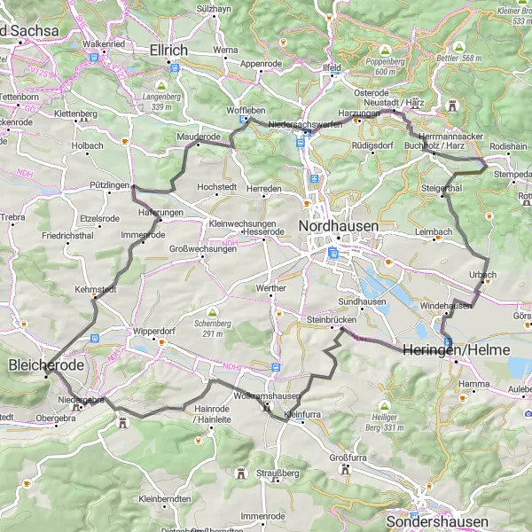
Conquer the peaks and valleys surrounding Bleicherode on this challenging gravel cycling route.
Venture into the wild landscapes near Bleicherode and conquer an exhilarating 62-kilometer gravel route filled with peaks and valleys. Ascend the magnificent Kalkberg and uncover the mysteries of Obergebra at the summit of Obergebra. Rated a difficulty level of 4 out of 5, this route pushes the limits of endurance and rewards cyclists with breathtaking views along the way.
Enjoy breathtaking mountain views on this challenging road cycling route
Get ready for a thrilling adventure through picturesque landscapes on this road cycling route near Bleicherode. With 784 meters of ascent and a distance of 82 kilometers, this route offers breathtaking mountain panoramas and exciting descents. Highlights include Leimberg, Günzerode, Niedersachswerfen, Iberg, Urbach, Sternberg, Friedrichslohra, and Dachsberg. Suitable for experienced cyclists, this route provides a challenging workout combined with stunning natural beauty.

Explore the beautiful landscapes surrounding Bleicherode on this thrilling gravel adventure.
Embark on an exciting gravel adventure starting near Bleicherode in Thüringen, Germany. This 90-kilometer route showcases the stunning countryside, with highlights including the historic town of Rosenberg and the scenic Winterberg. With nearly 950 meters of ascent, the ride is challenging yet rewarding, offering breathtaking views throughout the journey. Suitable for very well-trained amateurs, this route is rated a difficulty level of 4 out of 5. Prepare for an epic cycling experience as you traverse the rolling hills and discover the hidden gems along the way.
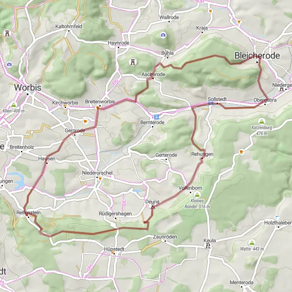
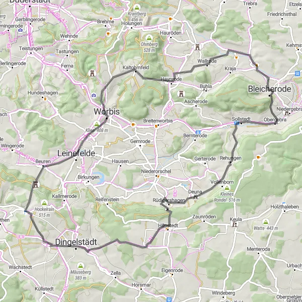
Embark on a journey into the wilderness surrounding Bleicherode on this exhilarating gravel route.
Experience the rugged beauty of the wilderness surrounding Bleicherode on this thrilling 51-kilometer gravel route. With 753 meters of ascent, this route is suitable for experienced cyclists who crave a challenge. Prepare to be captivated by the untouched, natural landscapes as you conquer Rehungen and Kornberg. Ziegenrück, a charming village boasting breathtaking views and tranquility, awaits near the end of the journey.
The Hilltop Adventure

Conquer the hills and enjoy stunning views on this challenging road cycling route
Embark on a challenging adventure through hilly landscapes on this road cycling route near Bleicherode. With 1008 meters of ascent and a distance of 83 kilometers, this route promises breathtaking views and thrilling descents. Highlights include Friedrichsthal, Eselsberg, Glockenturm, Zorge, Honigberg, Netzkater, Schern, Hinterster Berg, and Dachsberg. Suitable for experienced cyclists, this route offers a combination of steep climbs and fast descents. Don't miss the opportunity to stop at highlights such as Dachsberg, which is a famous cycling spot known for its legendary climbs and panoramic views.
Explore the scenic beauty of Niederorschel on this moderate road cycling route
Immerse yourself in the scenic beauty of Niederorschel on this moderate road cycling route near Bleicherode. With a total ascent of 419 meters and a distance of 46 kilometers, this route offers a combination of challenging sections and scenic landscapes. Highlights along the way include Rehungen, Kornberg, Niederorschel, Hardt, and Lipprechterode. Suitable for cyclists looking for a moderate challenge, this route provides a great opportunity to discover the charming village of Niederorschel and enjoy the surrounding nature.
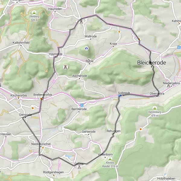
The Rehungen Loop
A challenging road cycling route featuring the scenic village of Rehungen
This road cycling route near Bleicherode takes you on a challenging journey through beautiful landscapes and allows you to explore the picturesque village of Rehungen. With a total ascent of 962 meters and a distance of 76 kilometers, this route will test your endurance and provide stunning views along the way. Suitable for experienced cyclists, this route offers a combination of challenging climbs and fast descents. Don't miss the opportunity to stop at highlights such as Kornberg, Silberhausen, Kirchohmfeld, and Lipprechterode.
The Hidden Gems

Unearth the hidden gems of Bleicherode on this gravel cycling route.
Embark on a 60-kilometer gravel cycling adventure starting near Bleicherode. Delve into the lesser-known highlights of the region, including the beautiful Hinterster Berg and the historical Stadtberg. With 585 meters of ascent, this route is suitable for well-trained amateurs seeking a moderate challenge. Experience the allure of Schloß Heringen and the charm of Schloss Hue De Grais as you explore the hidden gems tucked away in the Thüringen countryside.

Embark on an epic journey through rolling hills and historic landmarks
Experience an epic adventure through rolling hills and historic landmarks on this road cycling route near Bleicherode. With 1040 meters of ascent and a distance of 109 kilometers, this route offers a memorable cycling experience. Highlights include Bleicherode, Dachsberg, Galgenberg, Birkungen, Hockelrain, Mengelrode, Esplingerode, Stadtberg, Weißenborn-Lüderode, Hardt, and Lipprechterode. Suitable for cyclists seeking a challenging yet rewarding ride, this route showcases the beauty and history of the region.
Through the Heart of Thüringen
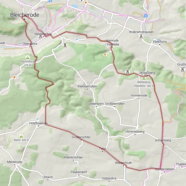
Immerse yourself in the heart of Thüringen on this immersive gravel cycling experience.
Embark on a 54-kilometer gravel journey that takes you through the heart of Thüringen, starting near Bleicherode. With 855 meters of ascent, this route is moderately challenging, perfect for intermediate cyclists seeking an enjoyable adventure. Explore the stunning landscapes surrounding Kalkberg and Hainrode/Hainleite, and enjoy the serenity of Großbrüchter surrounded by lush greenery. This route offers a glimpse into the unique charm and rural beauty of Thüringen.
Cycling routes nearby:


Nearby regions: