Escape to a cyclist's paradise in Kraftsdorf.
Cycling routes from Kraftsdorf
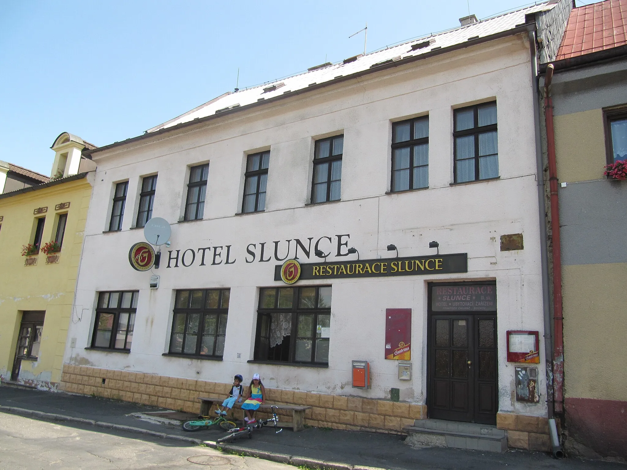
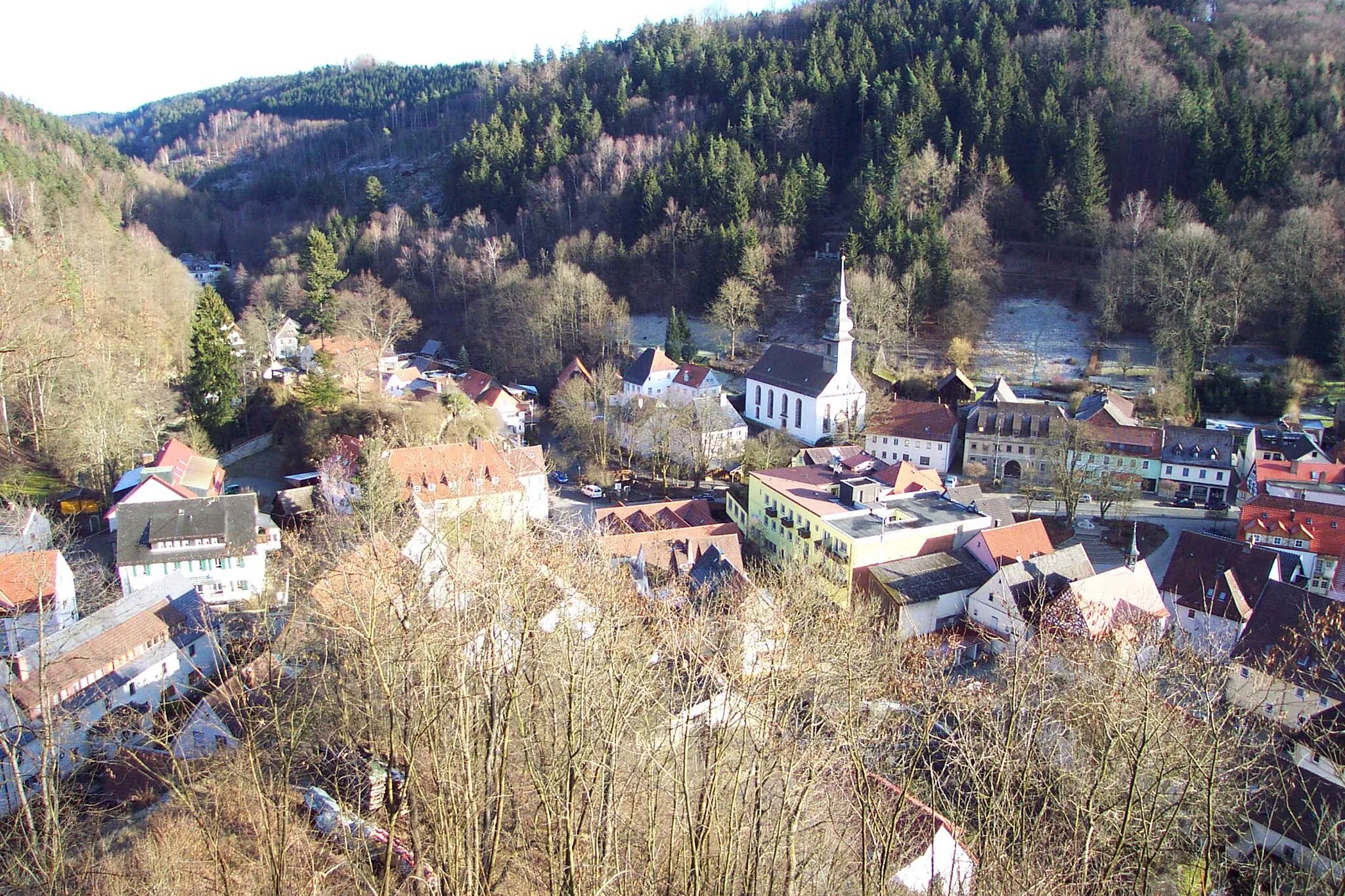
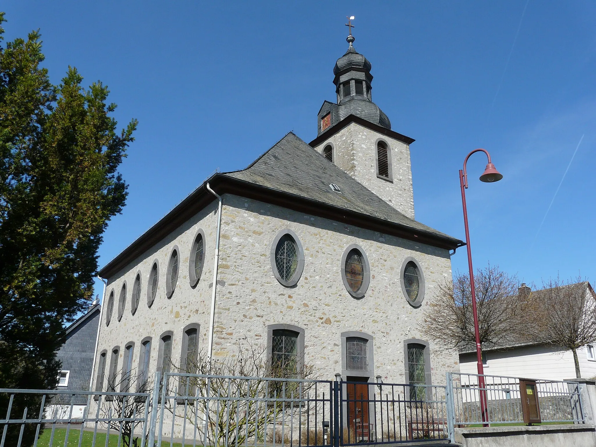
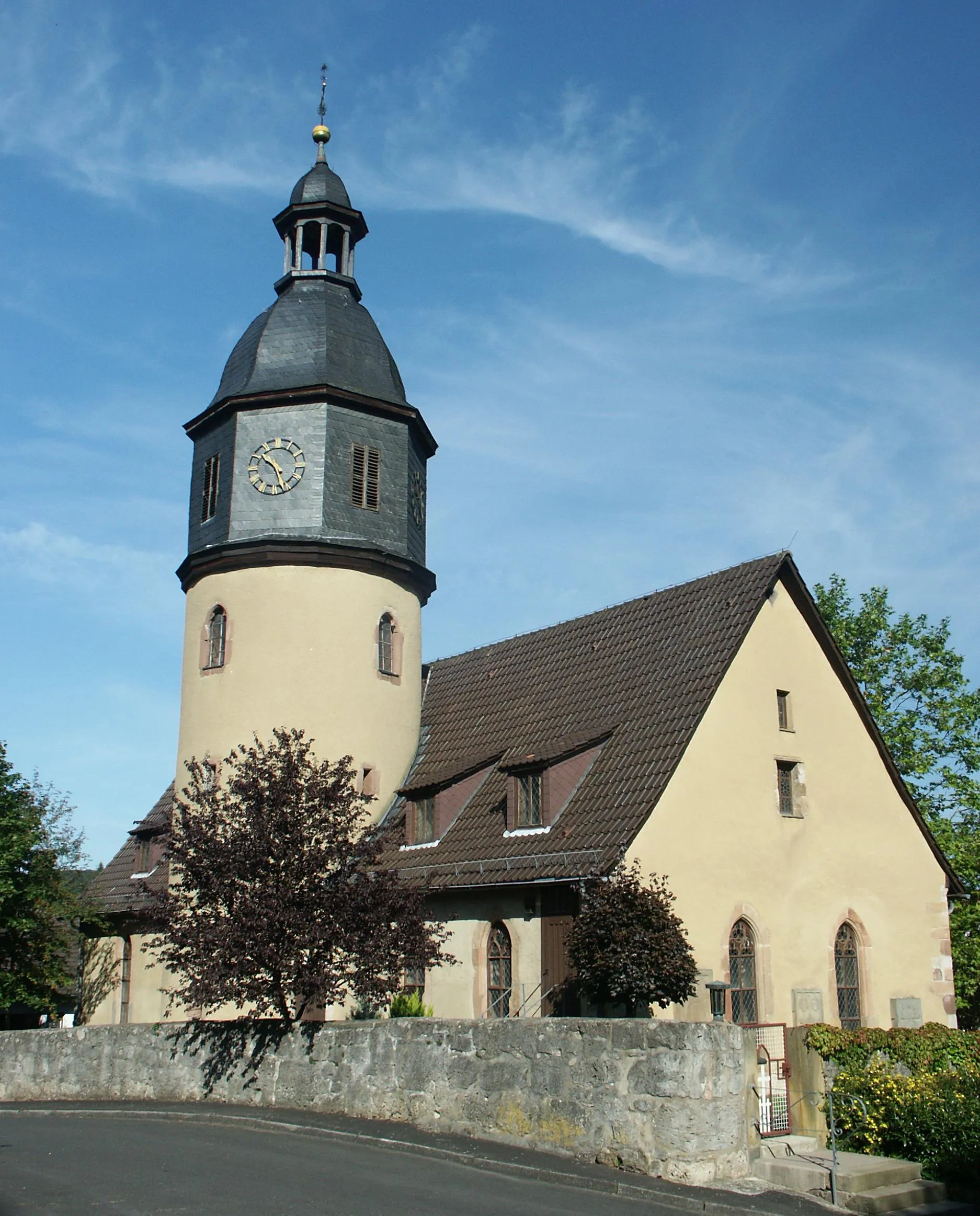
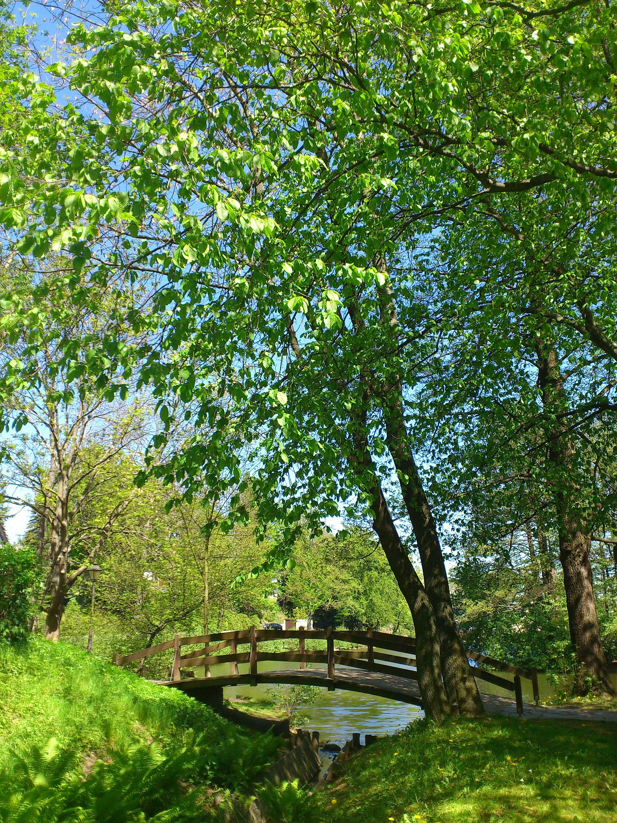
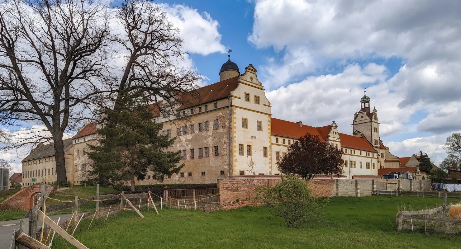
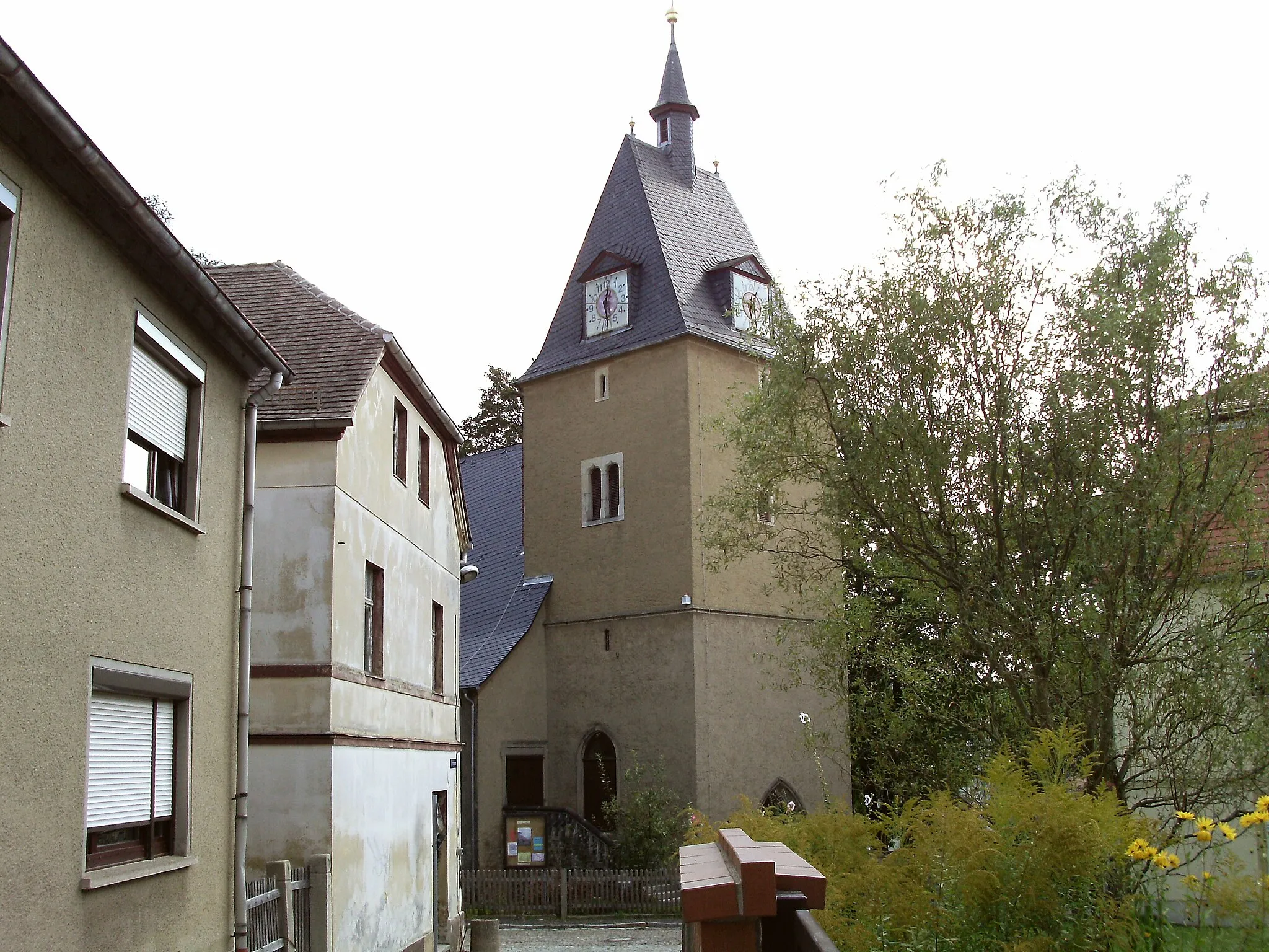
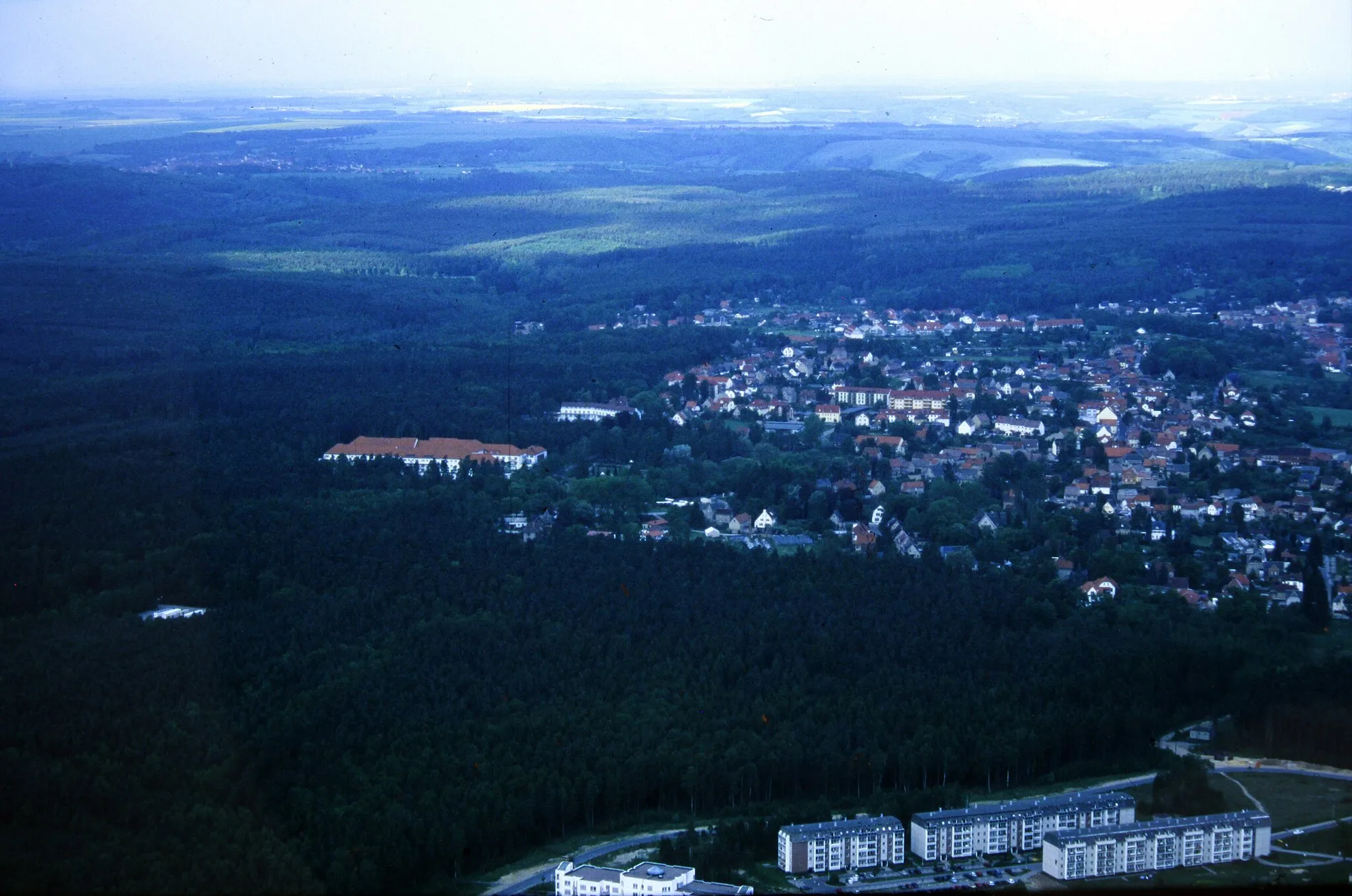
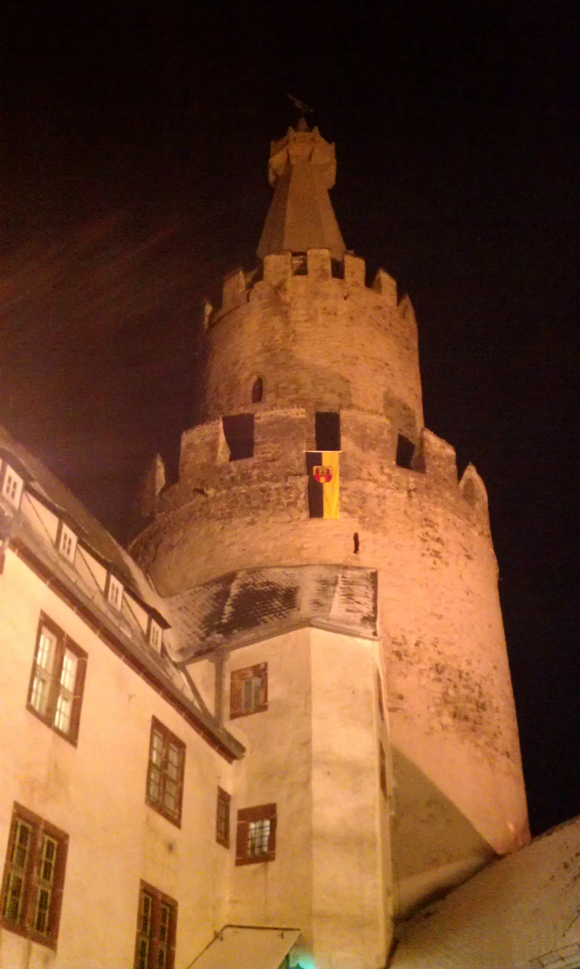
Kraftsdorf, located in Thüringen, Germany, is a welcoming destination for road and gravel cyclists. The locality boasts a network of well-maintained cycling paths that wind through picturesque countryside and charming villages. One notable cycling spot in the area is the scenic Gera River valley, offering peaceful rides along its banks. Cycling enthusiasts will appreciate the rustic beauty and tranquility of Kraftsdorf.
Embark on this scenic gravel cycling route near Kraftsdorf and experience the beauty of the Thuringian countryside.
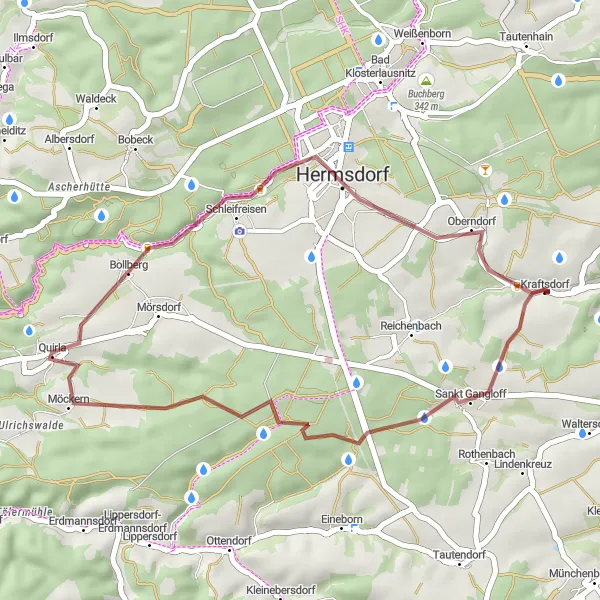
This scenic gravel cycling route near Kraftsdorf offers a unique cycling experience through quiet rural roads. With a total ascent of 375 meters and a distance of 30 kilometers, this route is suitable for adventurous cyclists. The route passes through highlights such as Kraftsdorf, Quirla, and Oberndorf.
Embark on a gravel adventure near Kraftsdorf
This challenging 71 km route takes riders through the scenic gravel paths near Kraftsdorf, offering breathtaking panoramic views and cultural highlights along the way. With a total ascent of 1076 meters, be prepared for a demanding yet rewarding cycling experience that showcases the beauty of Thuringia's countryside.

Enjoy picturesque landscapes and charming villages on this road cycling route near Kraftsdorf.
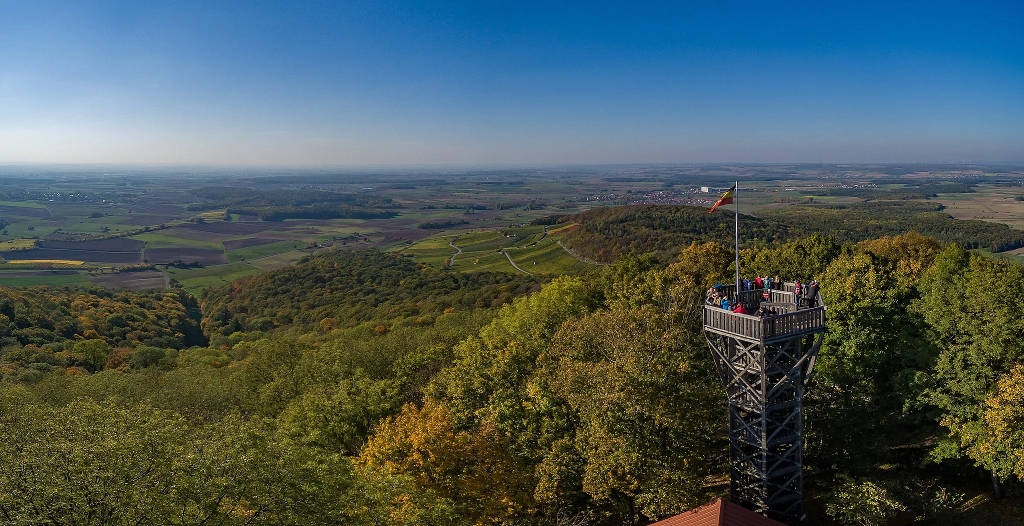
This picturesque road cycling route near Kraftsdorf takes you through beautiful Thuringian landscapes and quaint villages. With a total ascent of 478 meters and a distance of 42 kilometers, this route is suitable for intermediate-level road cyclists. The route passes through highlights such as Wasserturm Schleifreisen, Zinna, Bürgel, and Buchberg.
Experience the beauty of Kraftsdorf and its surroundings by bike
This 61 km road cycling route offers riders the opportunity to discover the charming village of Kraftsdorf and explore the surrounding countryside. With a total ascent of 729 meters, this moderately challenging route showcases the idyllic landscapes and cultural highlights of the region.
Conquer legendary climbs and awe-inspiring landscapes near Kraftsdorf
Prepare for an epic 130 km road cycling journey filled with legendary climbs, breathtaking vistas, and cultural highlights. With a total ascent of 1366 meters, this challenging route is designed for experienced cyclists seeking the thrill of conquering famous cycling spots and experiencing the beauty of the Thuringian countryside.
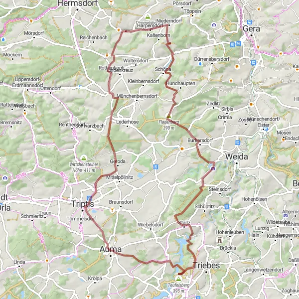
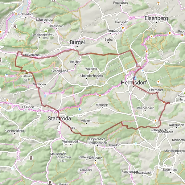
Embark on an exploratory gravel cycling route near Kraftsdorf and uncover hidden gems of Thüringen.
This exploratory gravel cycling route near Kraftsdorf takes you off the beaten track, allowing you to discover hidden gems and scenic landscapes. With a total ascent of 820 meters and a distance of 56 kilometers, this route is suitable for experienced gravel cyclists seeking adventure. The route passes through highlights such as Möckern, Hirschberg, Kleinlöbichau, Bad Klosterlausitz, and Oberndorf.
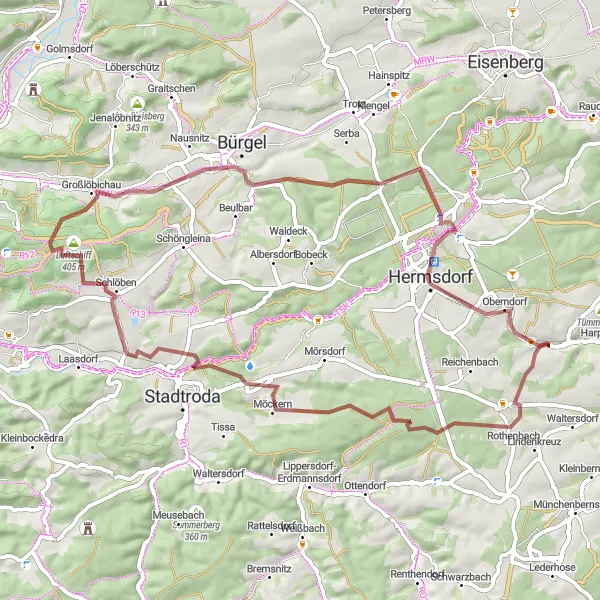
Embark on an exciting gravel cycling adventure near Kraftsdorf and explore the diverse landscapes of Thüringen.
This adventure gravel cycling route near Kraftsdorf takes you through diverse landscapes including forests, meadows, and charming villages. With a total ascent of 803 meters and a distance of 59 kilometers, this route is suitable for experienced gravel cyclists. The route passes through highlights such as Tissa, Luftschiff, Dorlberg, Thalbürgel, and Oberndorf.
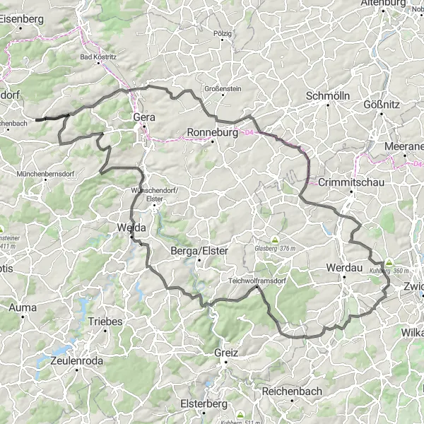
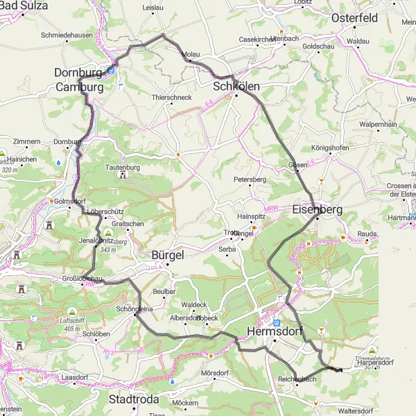
Uncover the hidden road gems near Kraftsdorf
This 98 km road cycling route is perfect for riders seeking a mix of natural beauty and cultural highlights. With a total ascent of 1010 meters, this challenging route takes cyclists through picturesque landscapes and charming villages, making it a memorable experience for road cycling enthusiasts.

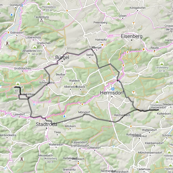
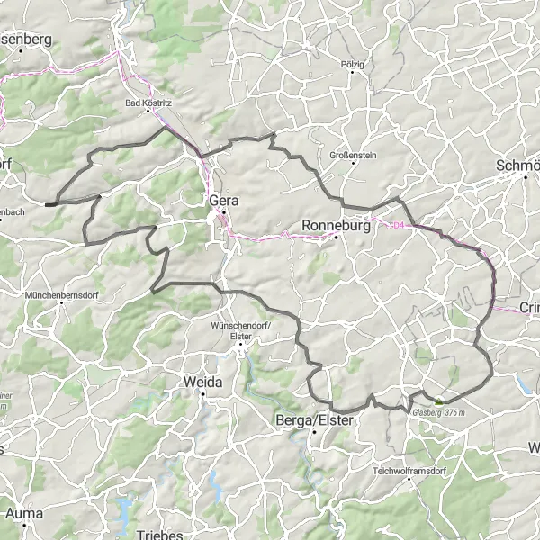
Embark on a gravel cycling adventure near Kraftsdorf
This 64 km gravel route takes riders on a scenic journey through the picturesque countryside near Kraftsdorf. With a total ascent of 891 meters, this moderately challenging route offers a mix of natural beauty and cultural highlights that showcase the region's diverse landscapes.
Explore the scenic countryside on this circular road biking route near Kraftsdorf.
This circular road biking route near Kraftsdorf takes you through picturesque villages and offers stunning views of the Thuringian landscape. With a total ascent of 1012 meters and a distance of 78 kilometers, this route is suitable for well-trained amateur cyclists. The route passes through highlights such as the Wasserturm Schleifreisen, Zinna, Kolben, Würchhausen, Bergfried, Hainchen, Buchberg, and Oberndorf.
Cycling routes nearby:


Nearby regions: