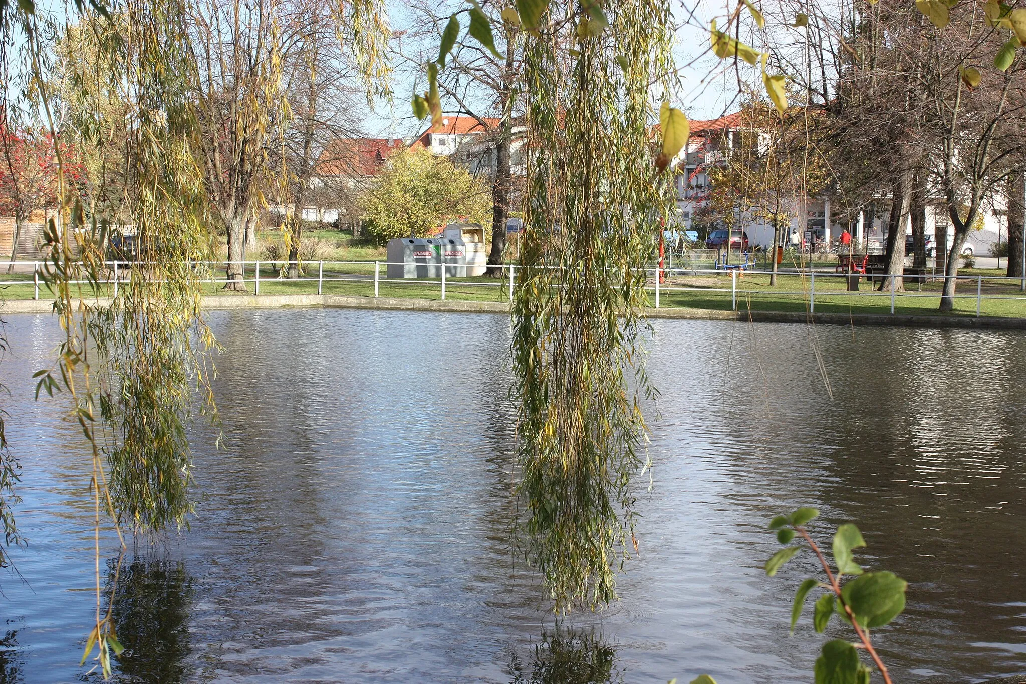
A cycling paradise in Thüringen, Germany, with famous routes like Rennsteig.
Cycling routes from Neuhaus-Schierschnitz
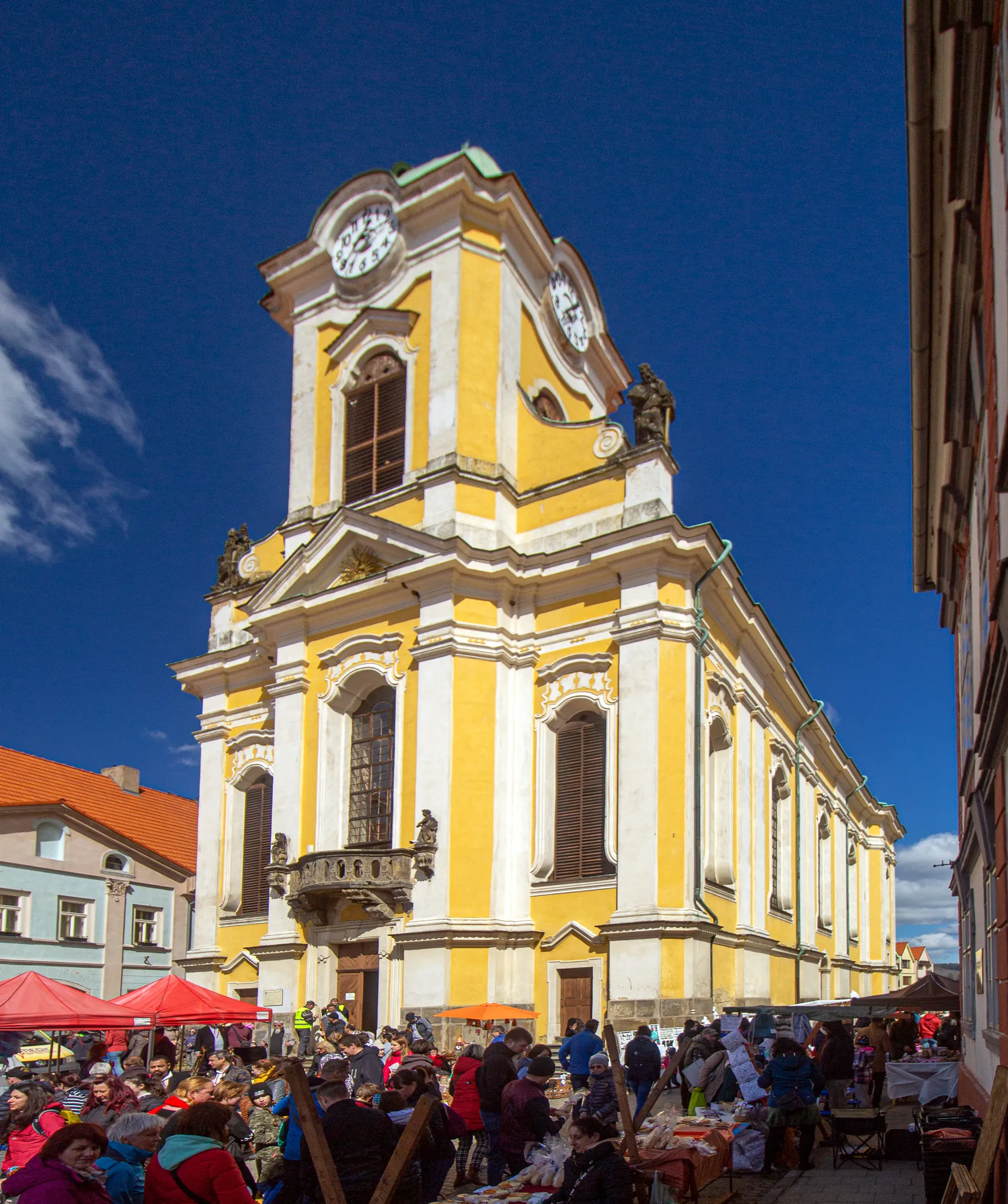
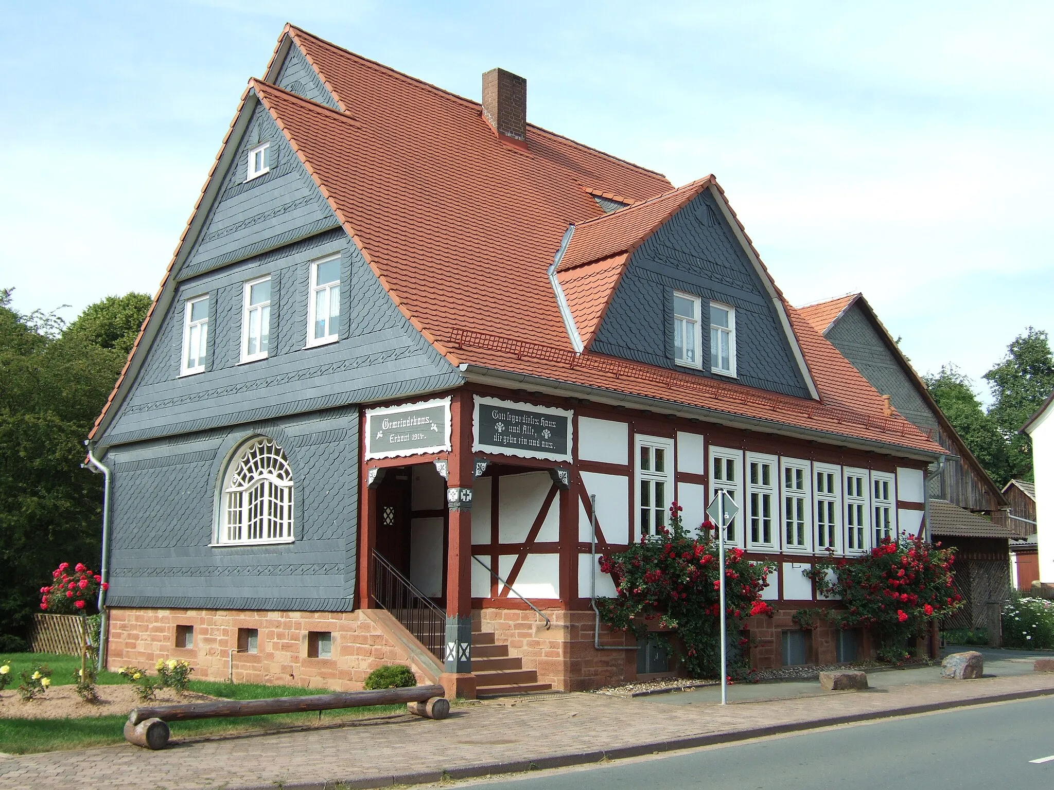
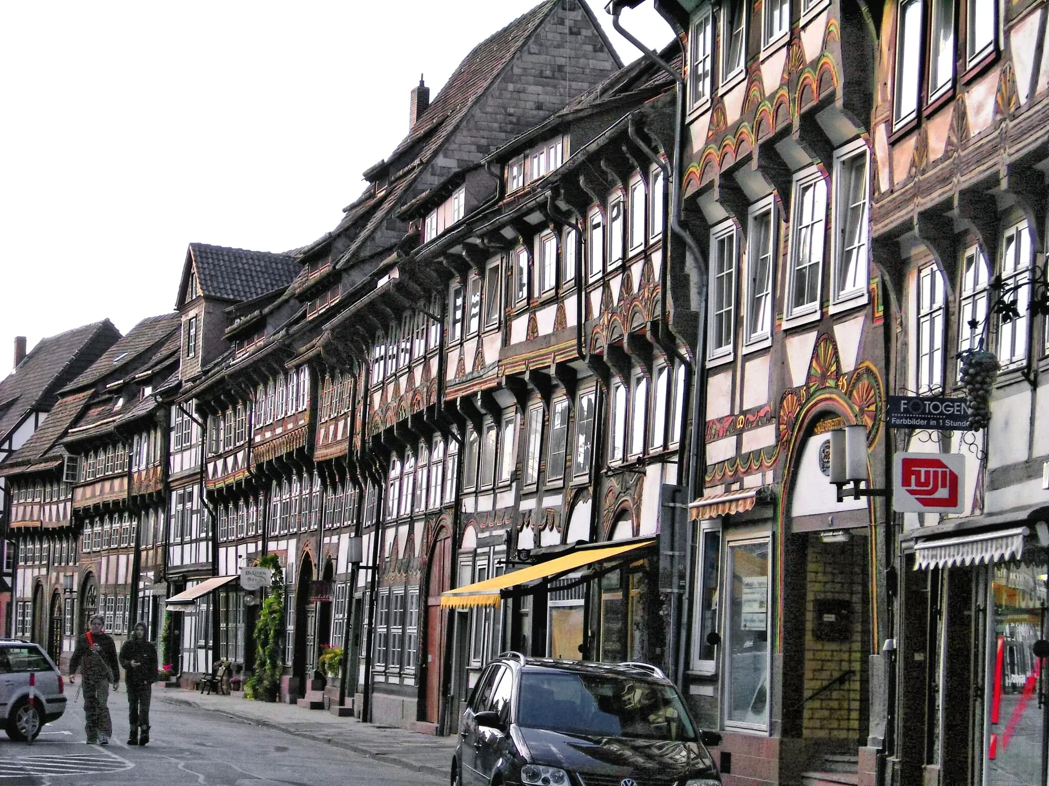
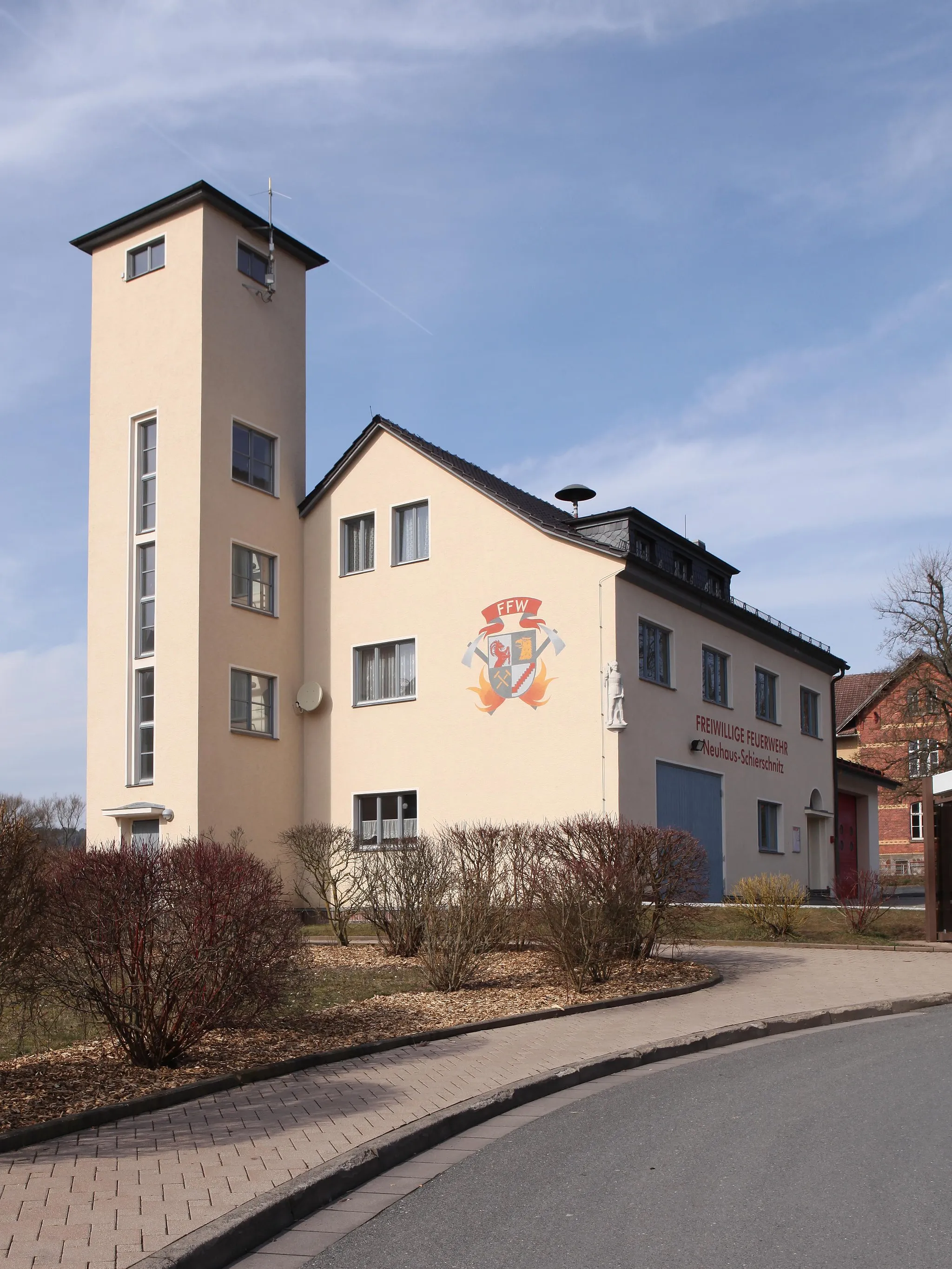
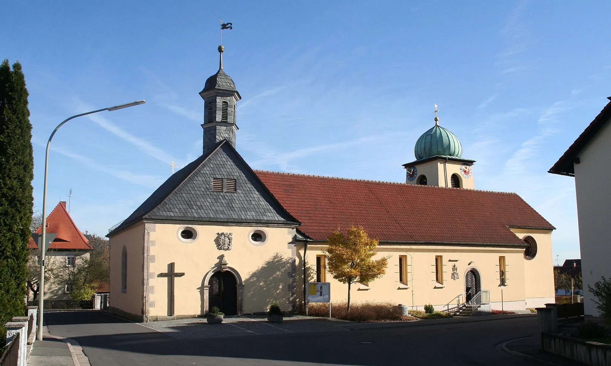
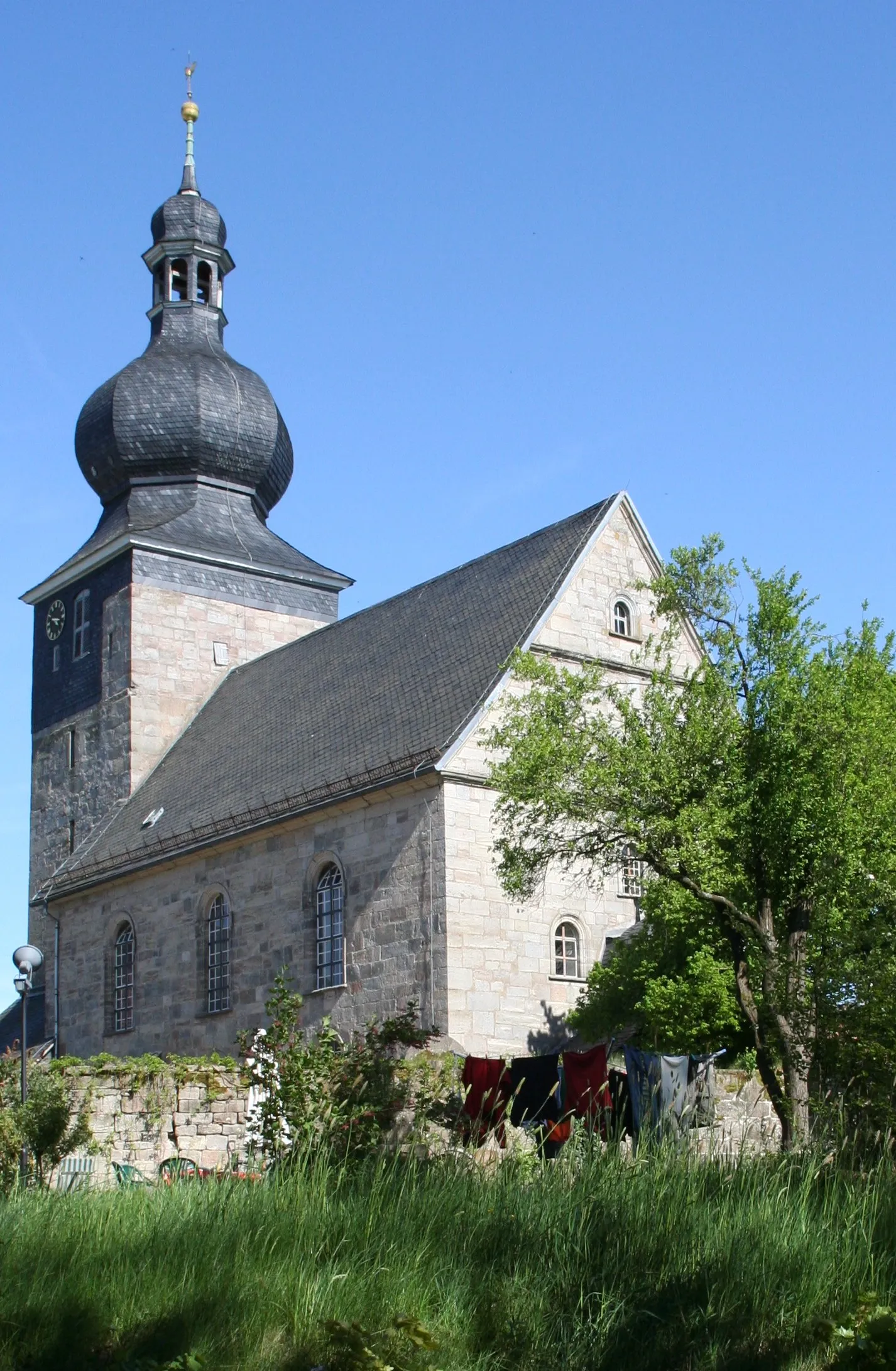
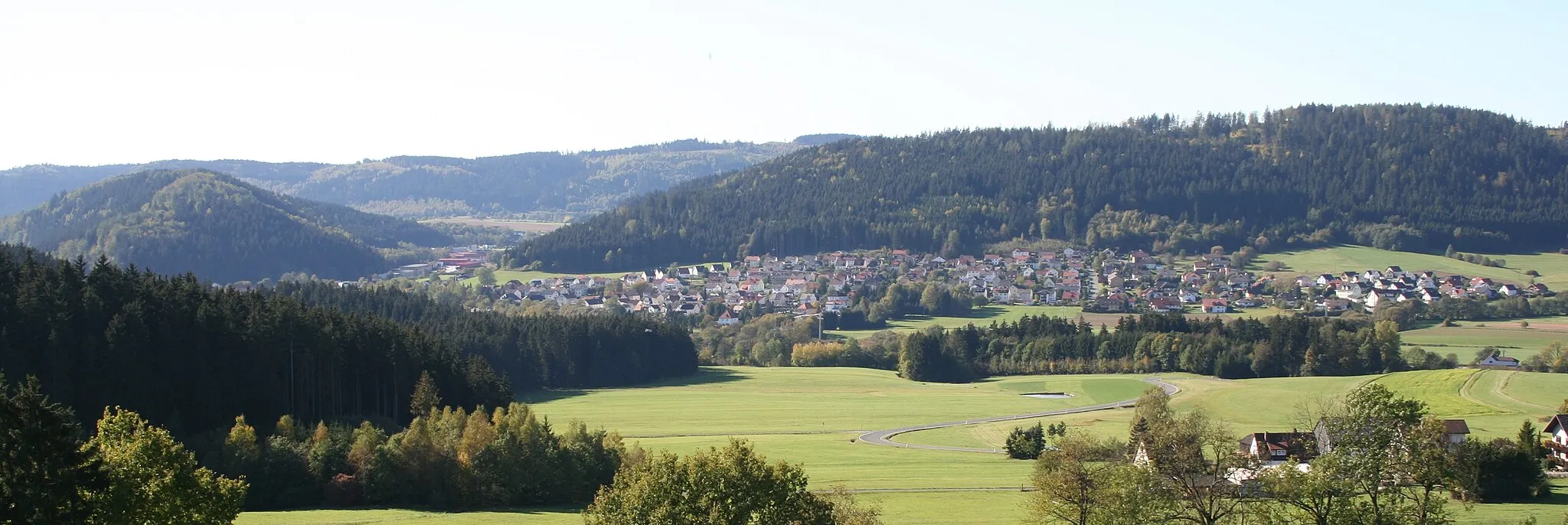
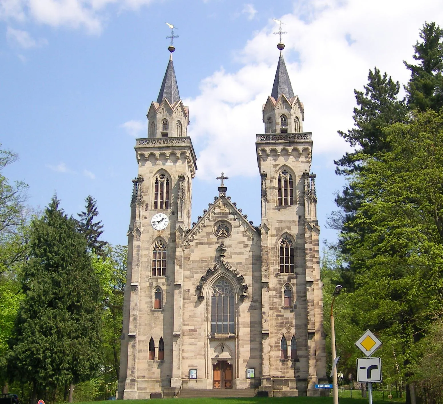
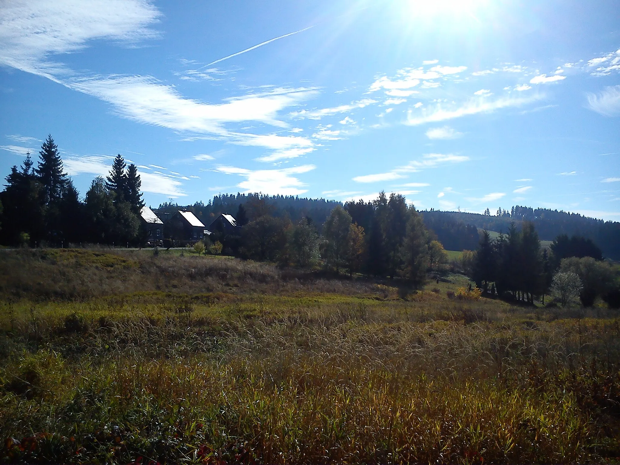
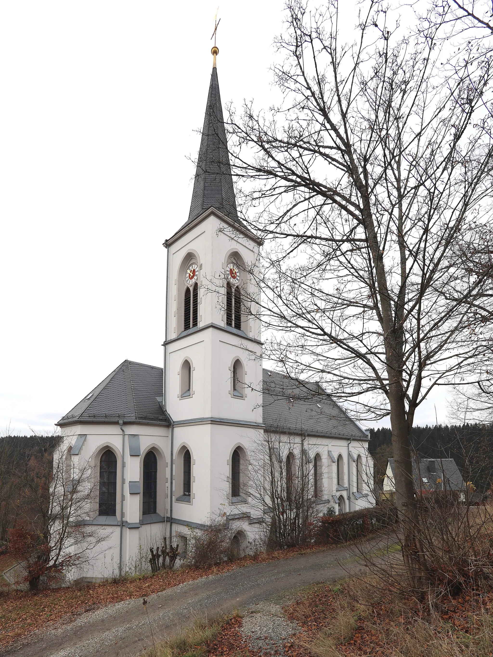
Neuhaus-Schierschnitz is a locality in Thüringen, Germany. Cycling enthusiasts will be delighted by the picturesque landscapes and well-maintained roads in this region. The area is home to several famous cycling routes, including the well-known Rennsteig trail, which offers stunning views and challenging climbs. Neuhaus-Schierschnitz is a cycling paradise, offering a wide range of routes for both road and gravel cyclists. Whether you're looking for a leisurely ride or a challenging climb, this locality has something for every cyclist.

Enjoy a ride through picturesque landscapes on smooth roads
This road cycling route near Neuhaus-Schierschnitz offers a scenic journey through beautiful countryside. You'll ride on smooth roads, allowing you to fully enjoy the surroundings. The highlight of this route is Weinberg, situated 12 km into the ride, offering stunning vineyards and charming villages. Overall, this route is moderately difficult and provides a highly enjoyable road cycling experience.
Discover the scenic beauty of Thüringen
The Thüringen Scenic Route is a delightful road cycling route that allows you to experience the natural splendor and cultural heritage of Thüringen. With a total ascent of 904 meters and a distance of 65 kilometers, this route is suitable for cyclists looking for a moderate challenge. Starting near Neuhaus-Schierschnitz, you'll pedal through beautiful landscapes and pass through charming villages along the way. Enjoy the rolling hills and picturesque views as you explore the diverse landscapes of Thüringen.
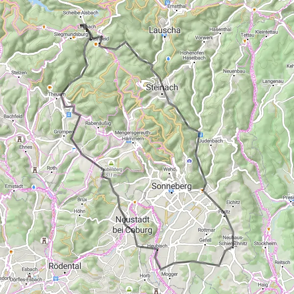
ThüringerGravel Adventure

Embark on an adventurous gravel journey in Thüringen
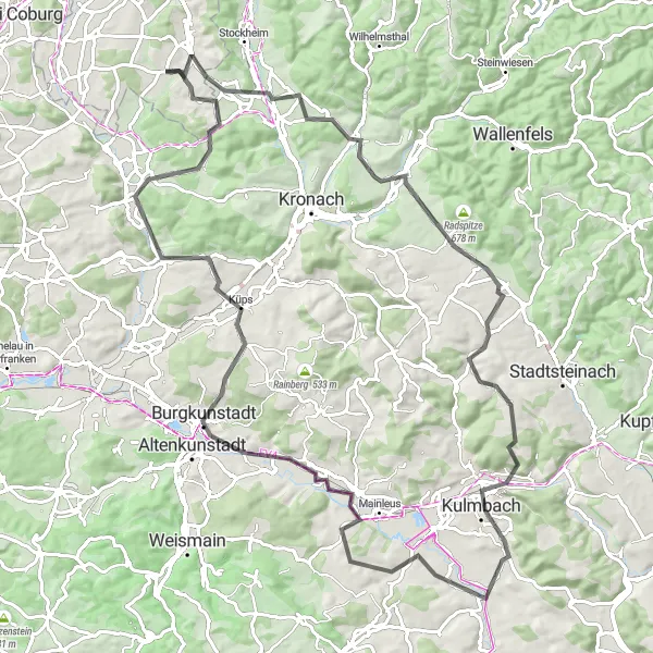
Explore the untamed beauty of Thüringen on the ThüringerGravel Adventure. With a total ascent of 1451 meters and a distance of 84 kilometers, this route is perfect for those who seek thrilling gravel paths and scenic landscapes. Starting near Neuhaus-Schierschnitz, you'll pass charming towns and picturesque viewpoints along the way. The varied terrain offers challenging climbs and exhilarating descents, making it a memorable adventure for gravel bike enthusiasts.
Cycle through diverse landscapes including forests and hills
This gravel route takes you through the beautiful countryside near Neuhaus-Schierschnitz. You'll experience a variety of terrains, from smooth gravel roads to challenging rocky paths. The highlight of the route is Mitwitzer Berg, a stunning hill that offers panoramic views of the surrounding area. Overall, this route is moderately difficult and highly enjoyable for gravel enthusiasts.
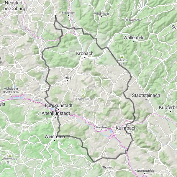
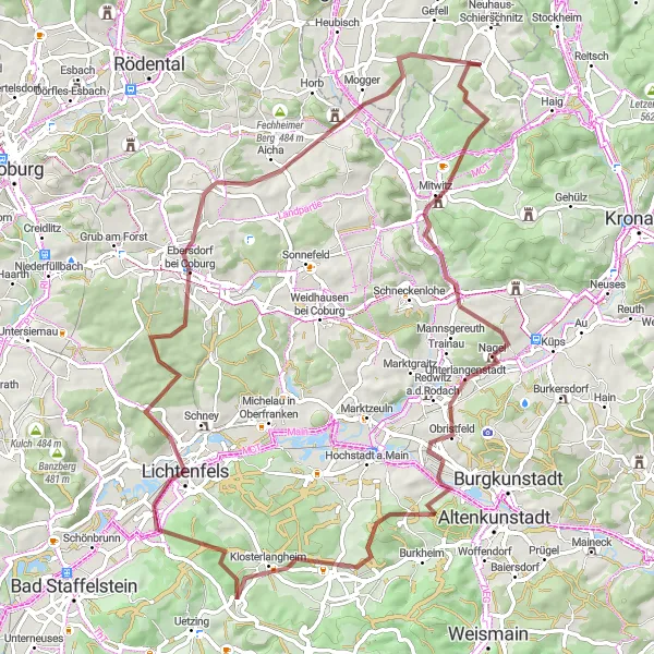
Relish in the scenic beauty of Kulmbach's countryside while cycling through charming villages
This road cycling route takes you through the picturesque countryside surrounding Kulmbach. With a total ascent of 1135 meters over a distance of 101 km, this route offers a moderately challenging cycling experience. You'll pass through charming villages, vineyards, and stunning nature spots along the way. The highlight of this route is Weinberg, situated 11 km into the ride, offering beautiful vineyards and panoramic views of the Kulmbach region.
The Gravel Adventure

Experience the thrill of gravel cycling near Neuhaus-Schierschnitz
Embark on a thrilling cycling adventure near Neuhaus-Schierschnitz and discover the beauty of Thüringen. This 83-kilometer round-trip route takes you through picturesque landscapes, challenging terrain, and fascinating highlights.
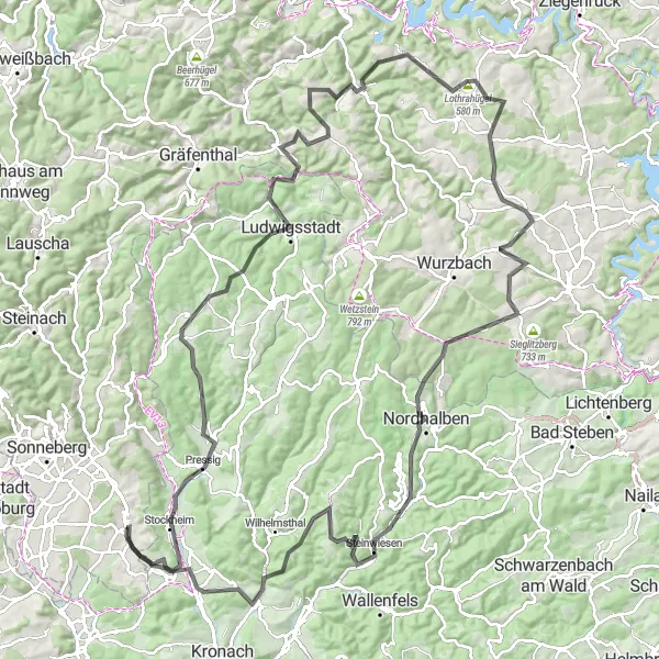
Conquer some of Thüringen's most challenging climbs while enjoying stunning mountainous landscapes
This road cycling route is designed for experienced cyclists seeking a challenging adventure in Thüringen's mountainous terrain. With a total ascent of 2292 meters over a distance of 134 km, this route tests your climbing abilities. Along the way, you'll pass through picturesque towns and witness breathtaking panoramic views. The highlight of this route is Lothrahügel, situated 63 km into the ride, offering a challenging climb and rewarding views. Overall, this route is considered difficult and provides an epic cycling experience for experienced riders.
ThüringerGravel
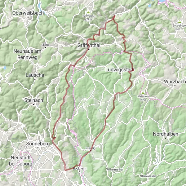
Explore the rugged gravel roads of Thüringen
ThüringerGravel is a challenging yet rewarding cycling route that takes you through picturesque landscapes and charming villages in Thüringen, Germany. With a total ascent of 1937 meters and a distance of 86 kilometers, this route is perfect for gravel bike enthusiasts. The terrain varies from gravel paths to some paved sections, providing a mix of challenging climbs and thrilling descents. The route starts near Neuhaus-Schierschnitz and showcases the natural beauty of the region.

Get a taste of Thüringen on an express gravel route
The ThüringerGravel Express is a perfect route for those seeking a shorter but exciting gravel cycling experience in Thüringen. With a total ascent of 591 meters and a distance of 39 kilometers, this route allows you to explore some of the region's highlights in a condensed format. Starting near Neuhaus-Schierschnitz, you'll pass through picturesque landscapes and charming villages. The varied terrain includes both gravel and paved sections, providing a mix of challenges and scenic enjoyment.
Thüringen Road Challenge
Conquer challenging roads in Thüringen
The Thüringen Road Challenge is a challenging road cycling route that takes you through beautiful landscapes and vibrant towns in Thüringen. With a total ascent of 1093 meters and a distance of 97 kilometers, this route appeals to road cycling enthusiasts who enjoy both climbing and descending. Starting near Neuhaus-Schierschnitz, you'll tackle various terrains along the way, including challenging climbs and thrilling descents. The route offers stunning views of the surrounding countryside and showcases the region's natural and cultural highlights.
Cycling routes nearby:
Nearby regions: