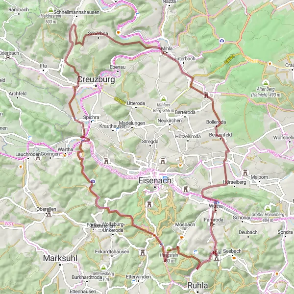
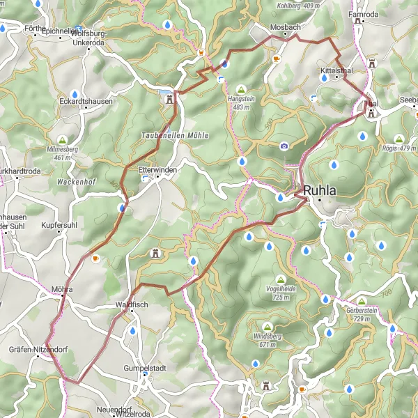
Scenic and serene cycling in Thüringen
Cycling routes from Thal
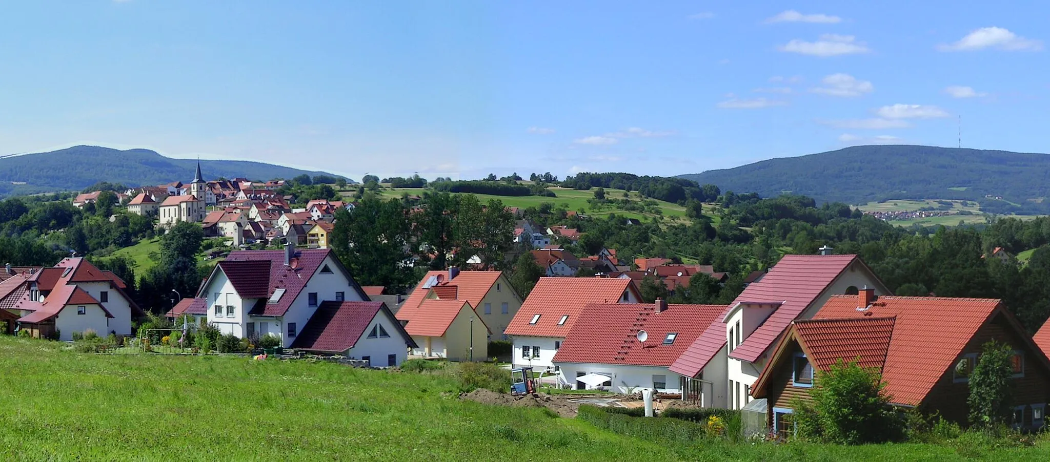
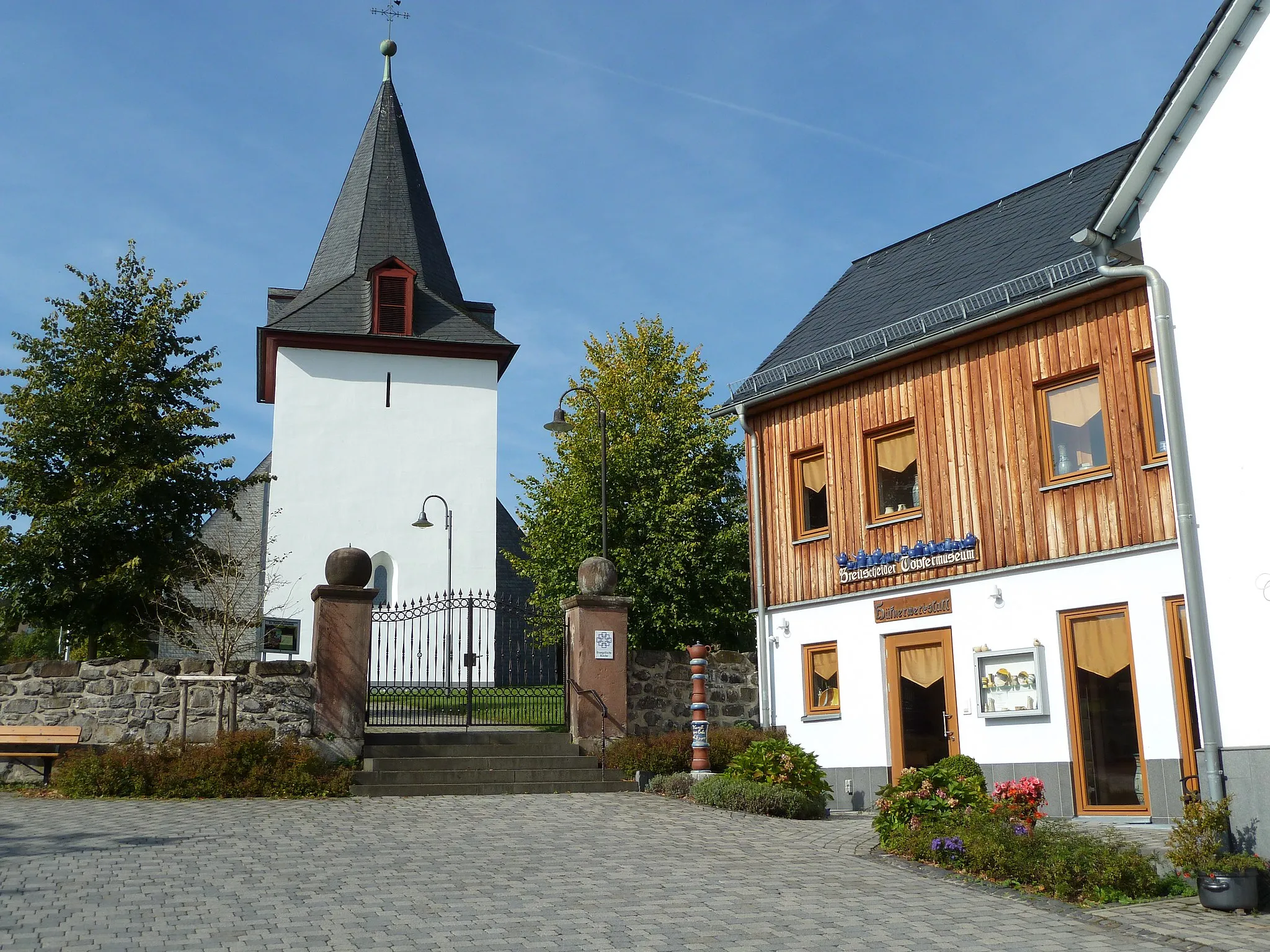
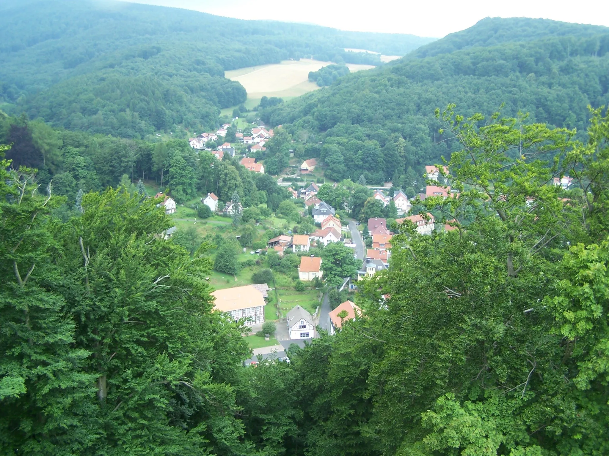
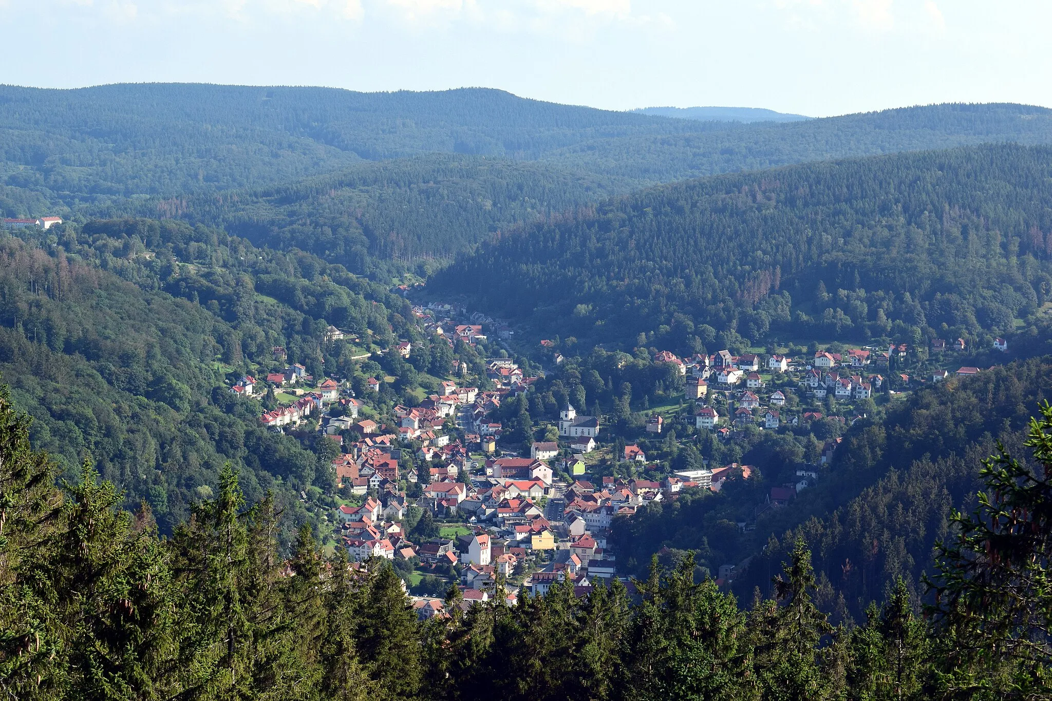
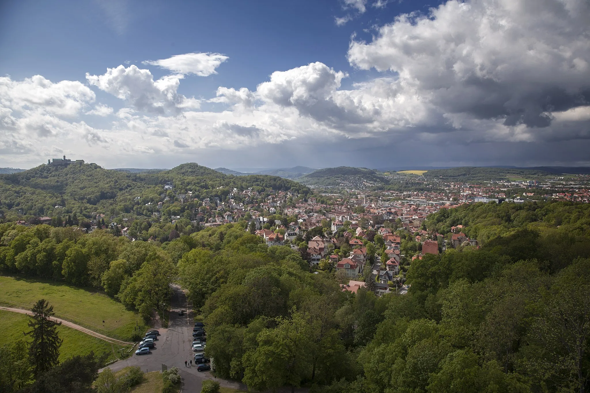
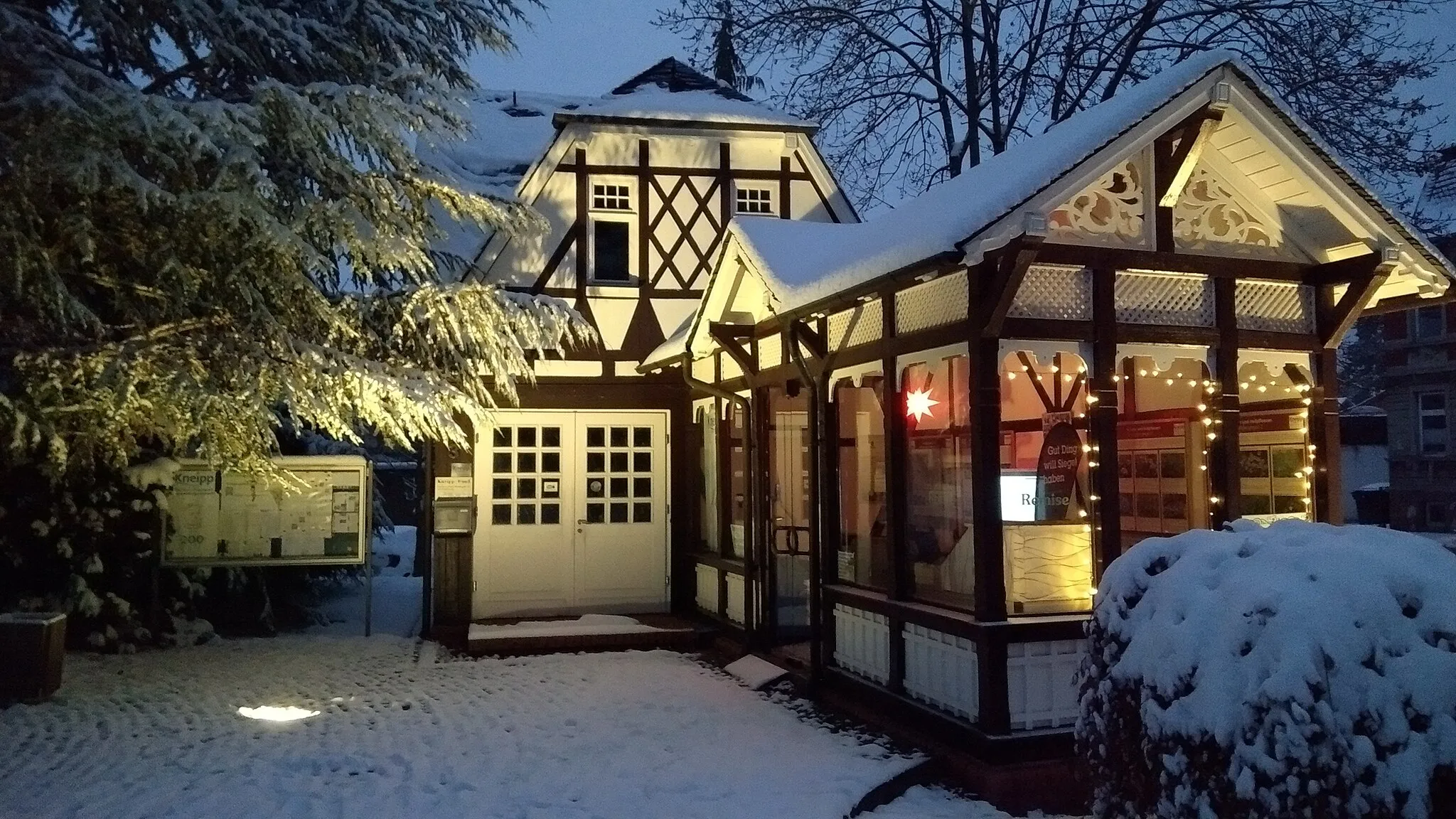
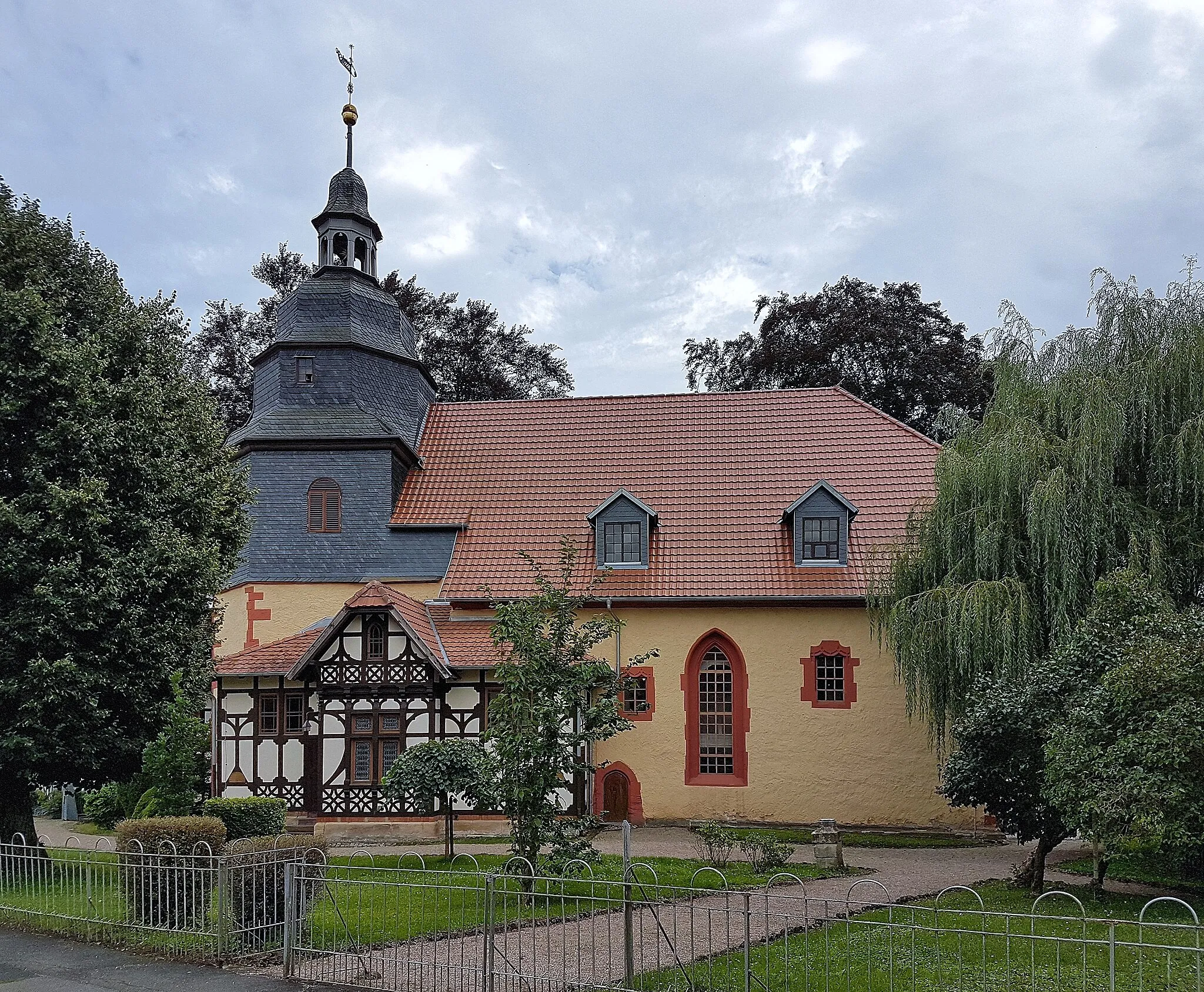
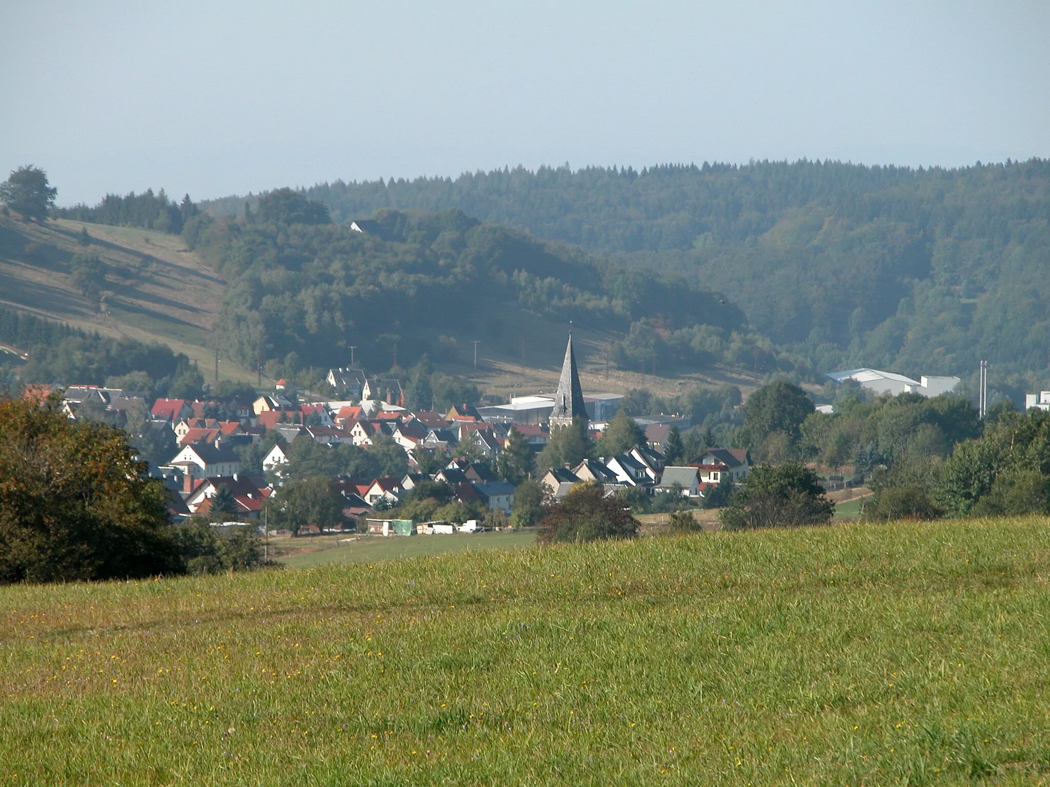
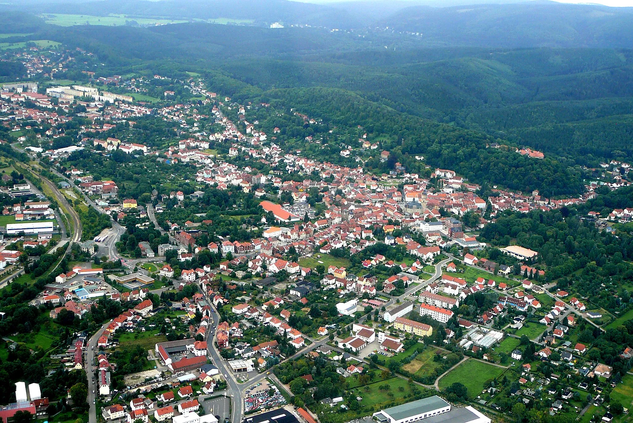
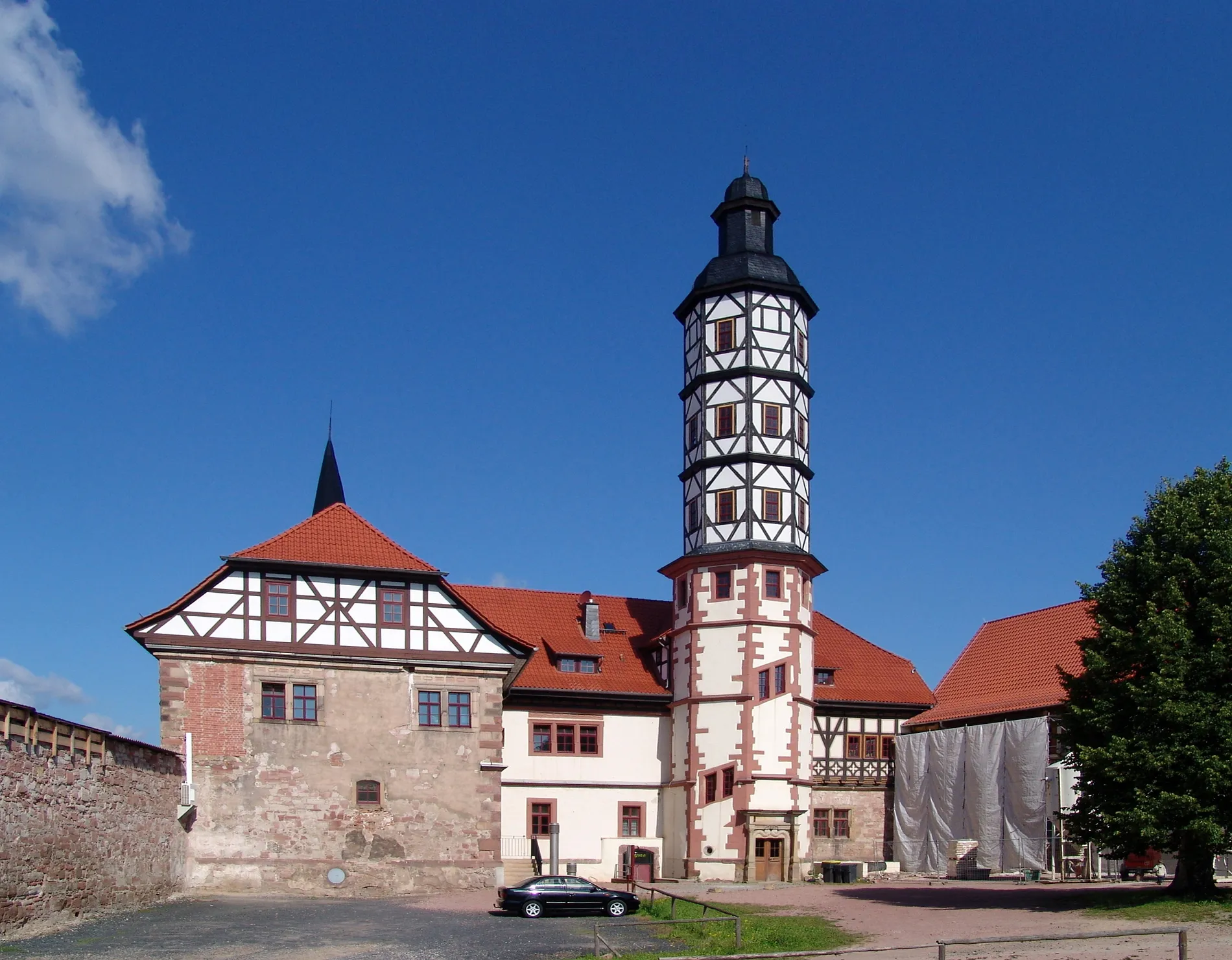
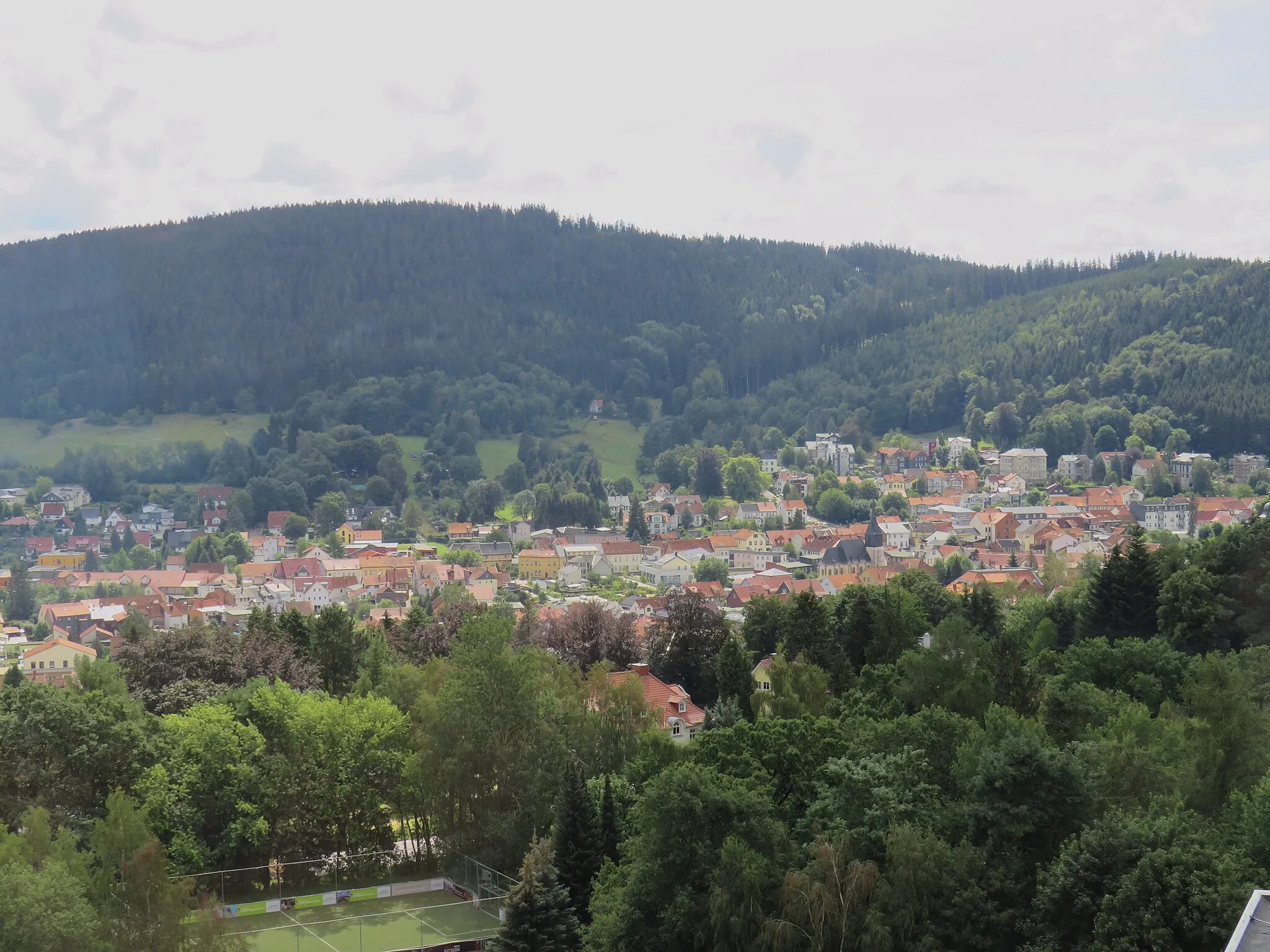
Thal in Germany's Thüringen region offers a pleasant cycling experience with its picturesque landscapes and well-paved roads. Cyclists can enjoy exploring the beautiful countryside, passing through forests, meadows, and charming villages. The locality is suitable for both road and gravel cycling, catering to different preferences. Nearby, Thal offers the Feldberg, a well-known climb attracting cyclists seeking a challenging ascent. With its tranquility and natural beauty, Thal is a hidden gem for cyclists looking for peaceful and scenic routes.
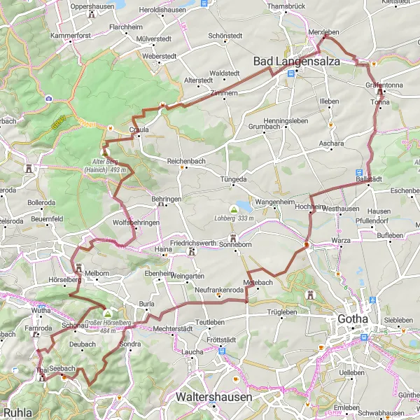
Explore the stunning Hainich Forest on this epic gravel adventure near Thal.
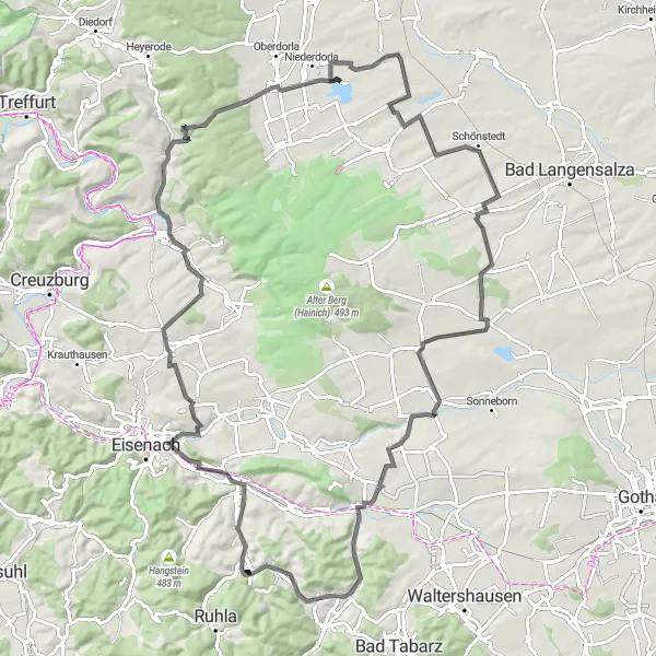
This 99 km gravel route takes you through the enchanting Hainich Forest, a UNESCO World Heritage site known for its ancient beech trees. Prepare for a challenging ride with a total ascent of 1341 m, as you navigate gravel roads, forest trails, and rolling terrain. Recommended for experienced gravel riders with good fitness levels. Highlights include the Baumkronenpfad (Canopy Walkway) and the historic village of Merxleben.
The Scharfenburg Loop
A thrilling road cycling route with a taste of history
Take on the challenge of this 48-km road cycling route that includes an ascent of 781 meters. The highlight of the route is the Scharfenberg, a hill in Thal with a rich historical background. Be prepared for scenic views, challenging roads, and an immersive experience in the heart of Thüringen.
Conquer challenging terrain and enjoy epic views on this road cycling route
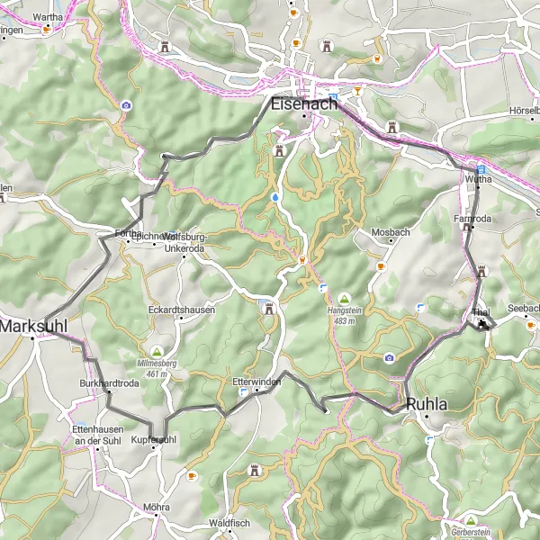
Embark on a 104-km road cycling adventure with an ascent of 1497 meters. This route promises a mix of challenging climbs and exciting descents as you navigate through the Thüringen countryside. Enjoy the sense of accomplishment as you conquer famous landmarks and soak in the breathtaking panoramas.

Experience the thrill of a challenging road ride in Thüringen's scenic countryside.
This 84 km road route near Thal offers a thrilling experience for road cyclists looking to test their skills and endurance. With a total ascent of 1245 m, the route takes riders through rolling hills, quiet villages, and scenic countryside. Cyclists should be prepared for some demanding climbs and fast descents, making it suitable for experienced riders with good fitness levels. Highlights include the spectacular Goldberg mountain and the picturesque Marienthaler Wäldchen.
Embark on an epic road cycling adventure through the scenic Thüringen countryside near Thal.
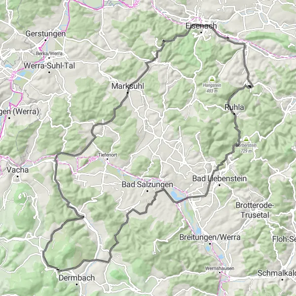
This 102 km road route offers a challenging and rewarding experience for road cyclists looking to explore the Thuringian landscape. With a total ascent of 1099 m, riders can expect undulating terrain with some demanding climbs and thrilling descents. Recommended for experienced cyclists with good fitness levels. Highlights include the historic Scharfenburg Castle and the picturesque village of Heroldishausen.

Embark on a thrilling gravel adventure through the scenic Wittgenstein area near Thal.
This 57 km gravel route takes you through the idyllic Wittgenstein region, known for its charming villages and beautiful landscapes. With a total ascent of 923 m, prepare for rolling terrain and sections of gravel roads and forest trails. Suitable for intermediate gravel riders. Highlights include Wittgenstein Castle and the picturesque village of Haina.
The Thuringian Gravel Loop
Embark on a thrilling gravel adventure through picturesque Thuringian landscapes.
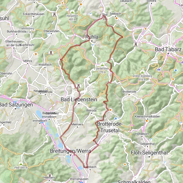
This 56 km gravel route near Thal is perfect for off-road enthusiasts seeking an exciting and challenging ride. With a total ascent of 1159 m, the route offers stunning views of the surrounding countryside and takes riders on varied terrain through forests, hills, and meadows. The route is suitable for intermediate to advanced cyclists with good handling skills. Prepare for a mix of gravel roads, singletrack sections, and some technical descents. Don't miss highlights like the medieval Scharfenburg Castle and the impressive Klausberg.
Unleash your adventurous spirit on this challenging gravel cycling route
Embark on a 77-km gravel cycling adventure with an ascent of 1359 meters. This route takes you through diverse landscapes and offers breathtaking views along the way. From rolling hills to dense forests, this journey will test your stamina, skill, and sense of adventure.
Embark on a thrilling gravel cycling journey through scenic countryside
Get off the beaten path and explore the beauty of Thüringen with this 38-km gravel cycling route. With an ascent of 935 meters, this adventure brings you closer to nature as you ride through forested trails and meandering paths. Immerse yourself in the tranquility of the surroundings and experience the thrill of gravel cycling.
The Ernstroda Challenge

Push your limits on this epic road cycling route
Embark on a cycling adventure on this 148-km road route that boasts an impressive ascent of 1970 meters. Be prepared to tackle challenging climbs and long stretches of road as you explore the Thüringen countryside. This route promises to test your endurance and reward you with breathtaking views along the way.
Cycling routes nearby:

Nearby regions: