Excellent cycling opportunities with legendary climbs in hilly terrain.
Cycling routes from Grosselfingen
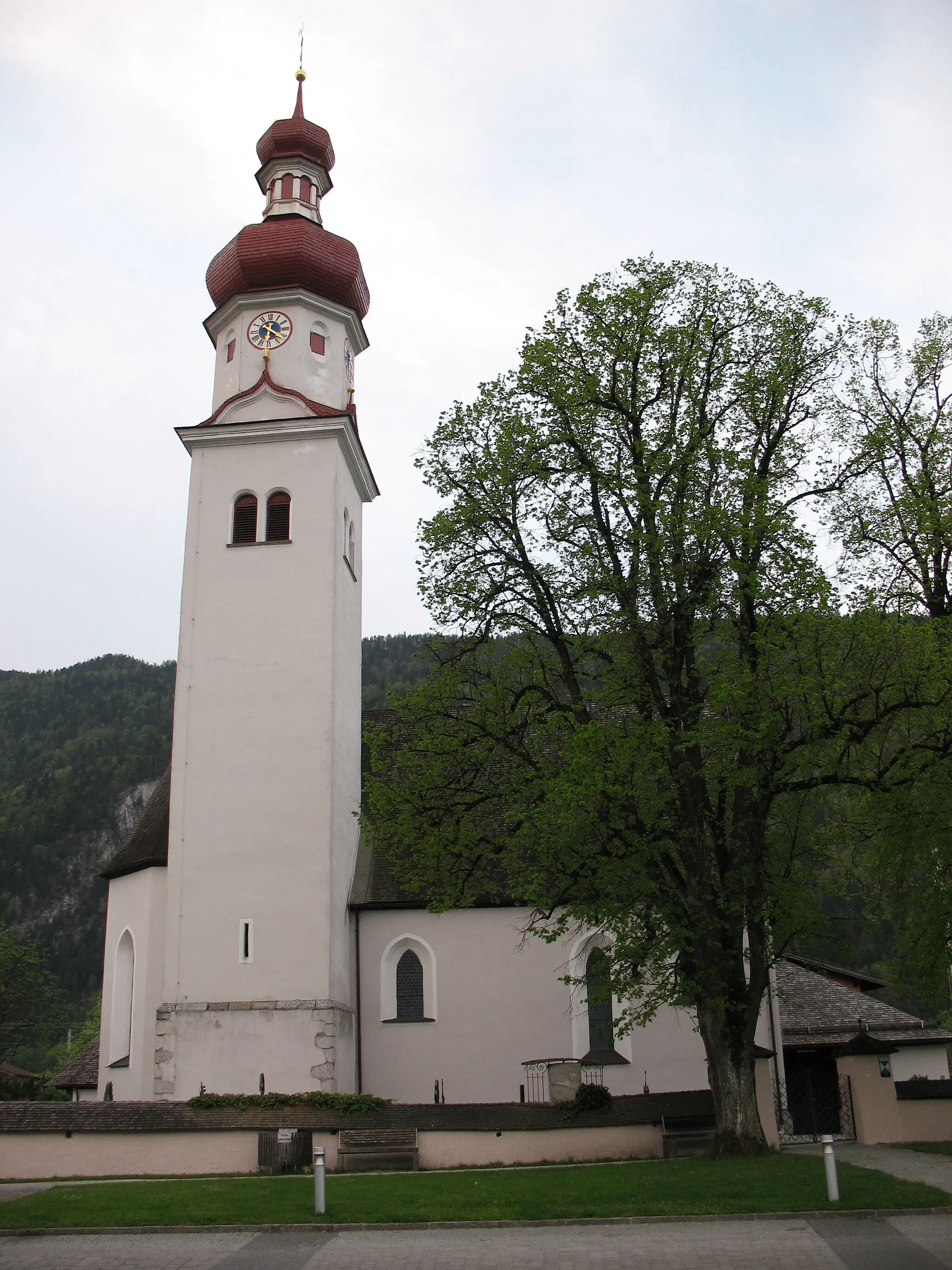
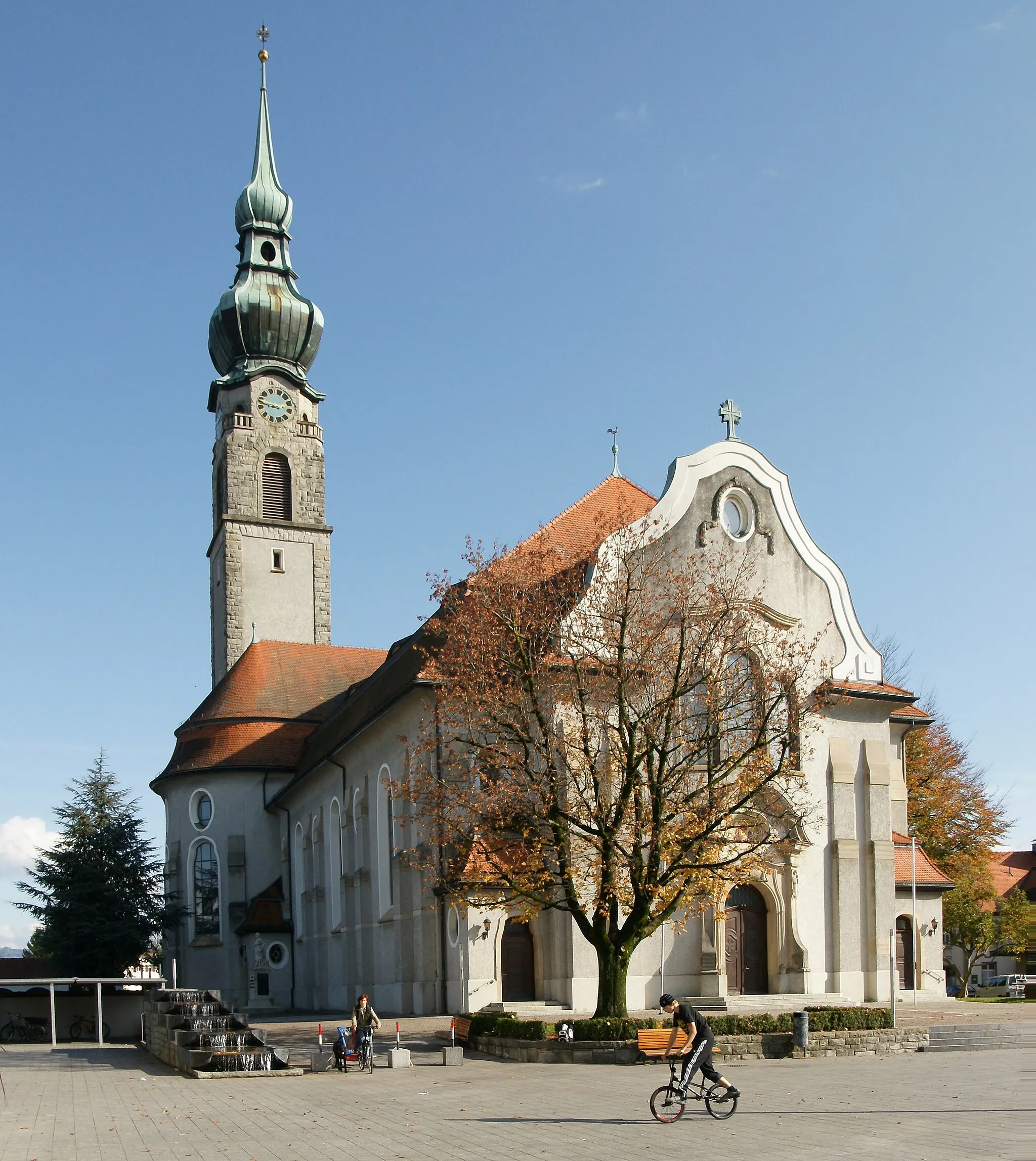
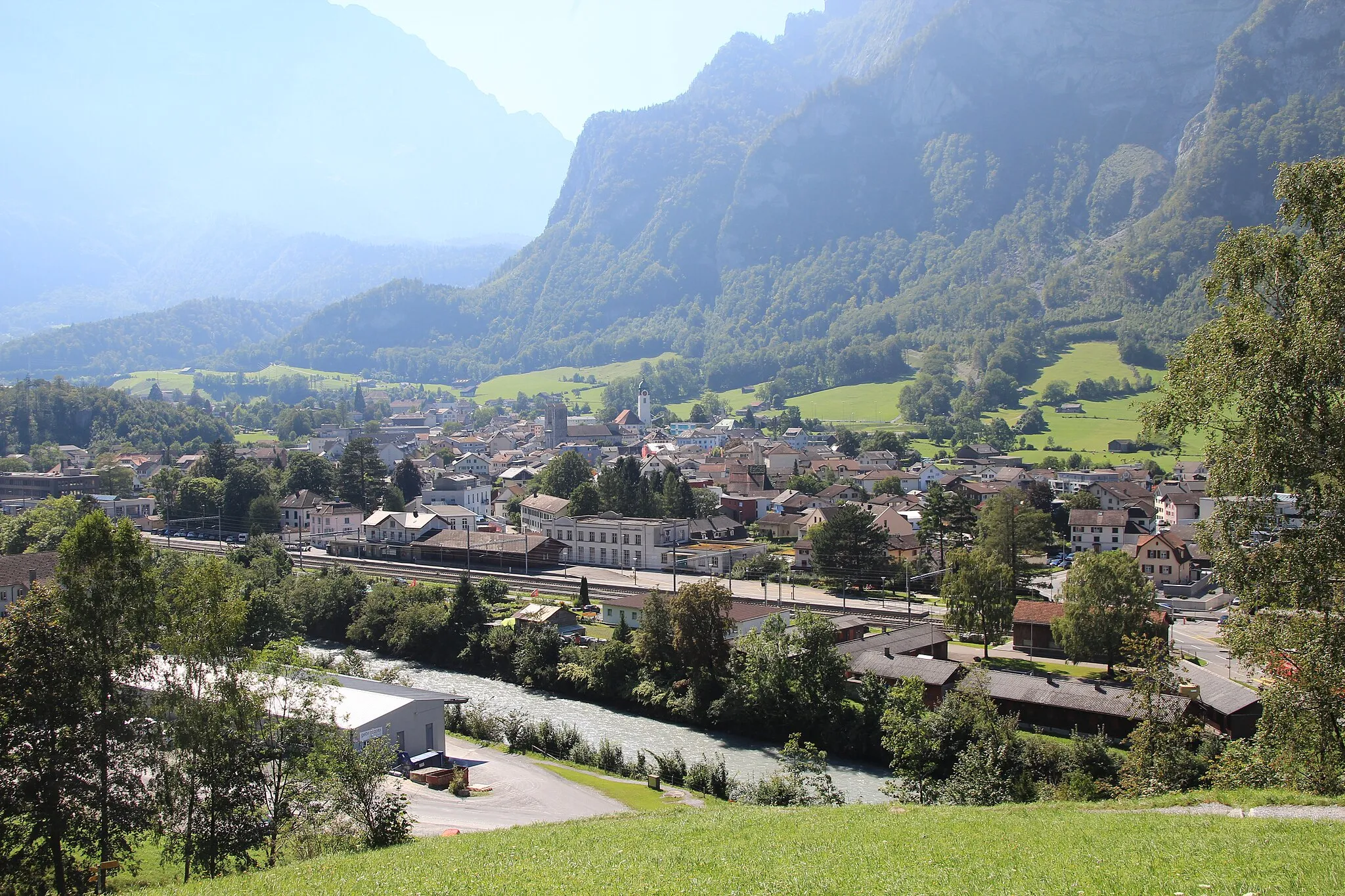
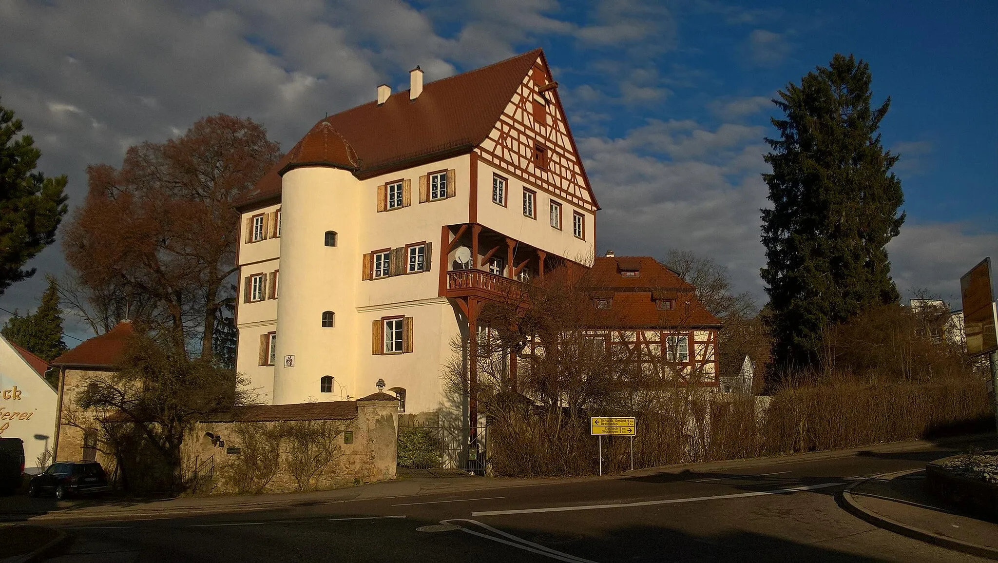
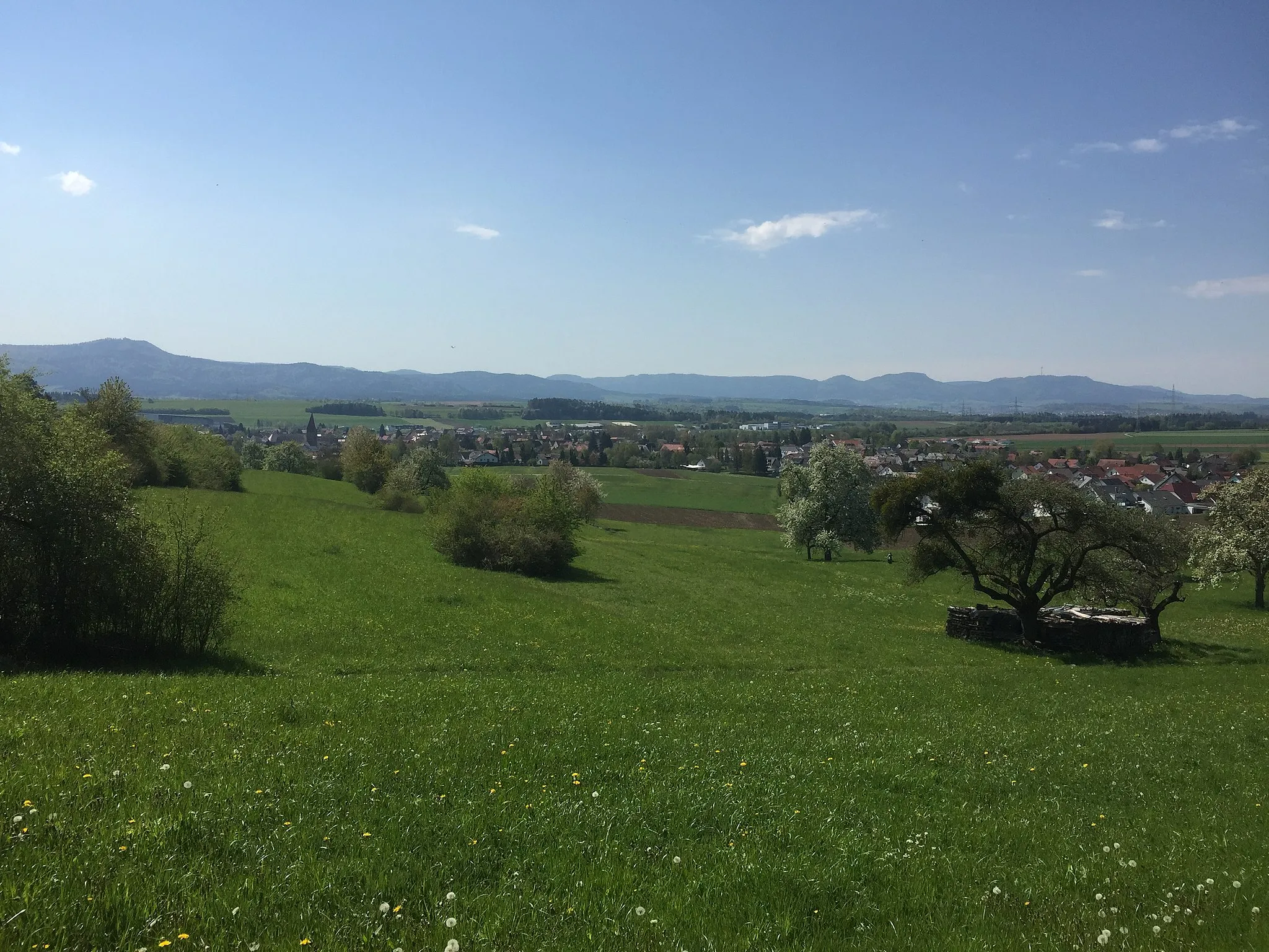
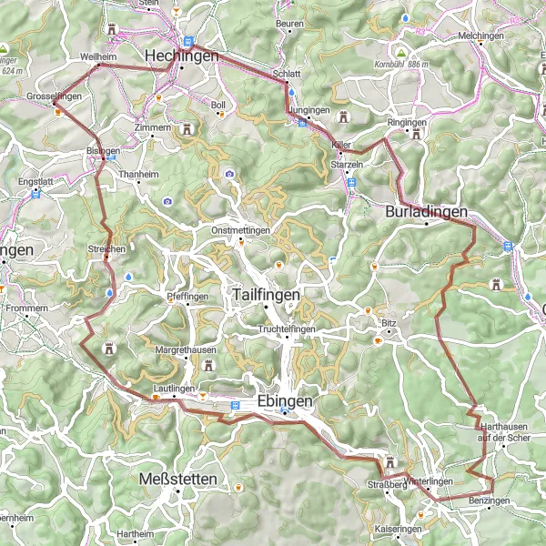
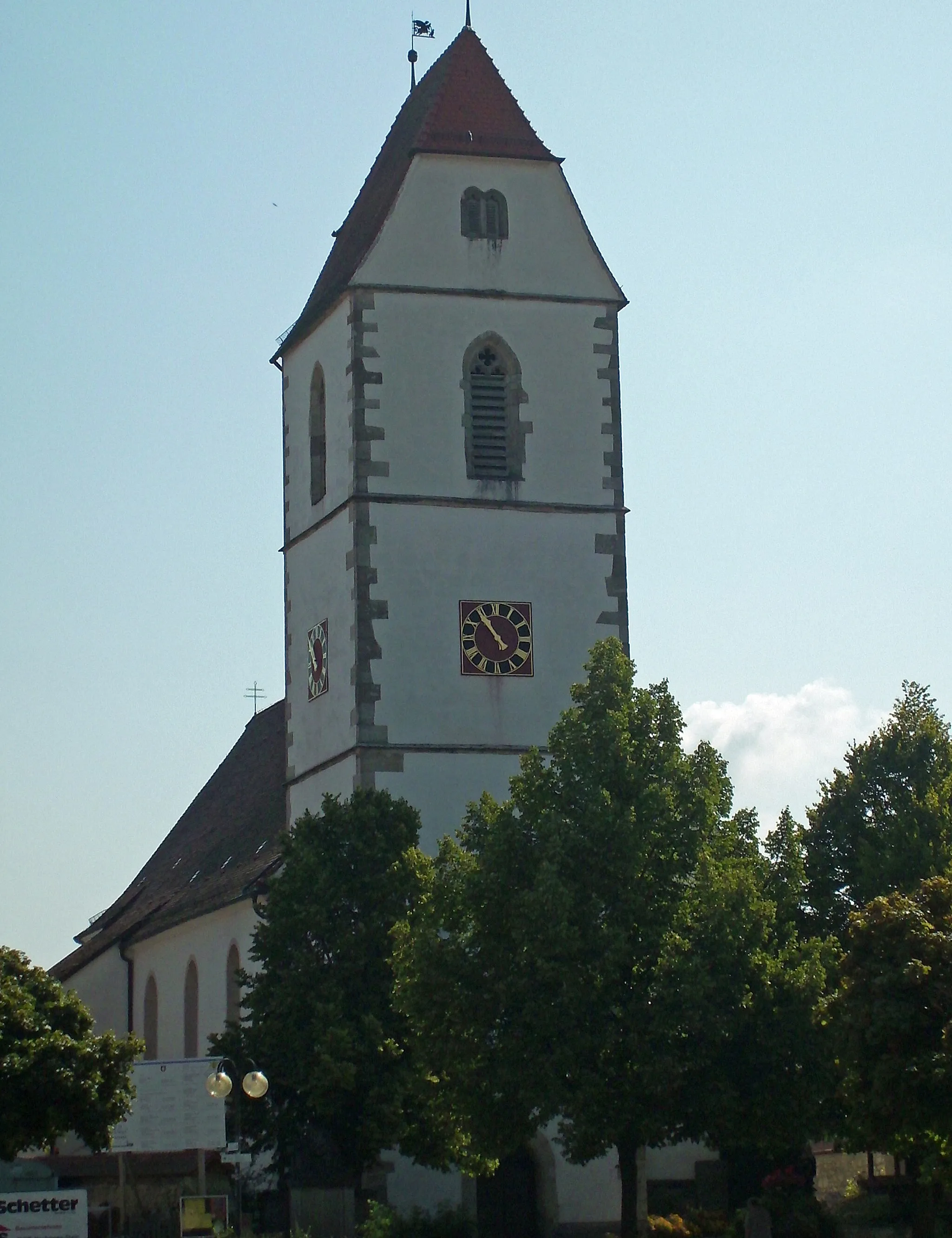
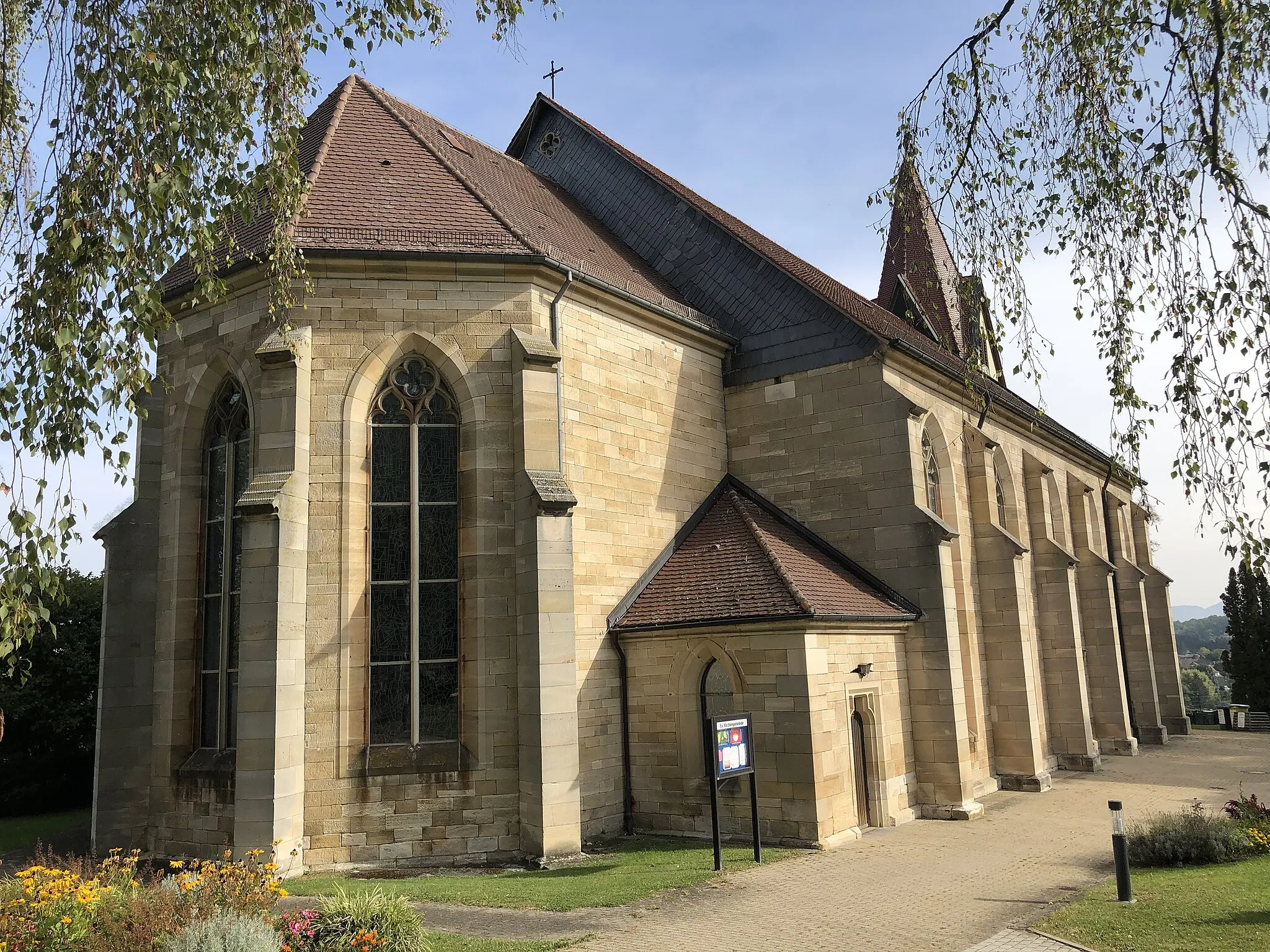
Grosselfingen is a locality in Tübingen, Germany. From a cyclist's perspective, Grosselfingen offers excellent road and gravel cycling opportunities. The region is characterized by hilly terrain, providing challenging climbs and thrilling descents for road cyclists. Gravel cyclists will also enjoy the numerous forest paths and rural roads that wind through the picturesque landscape. A well-known cycling spot near Grosselfingen is the Swabian Jura, which features legendary climbs such as the Schiesshofberg. In summary, Grosselfingen is a true paradise for road and gravel cyclists, offering challenging terrains and iconic climbs.
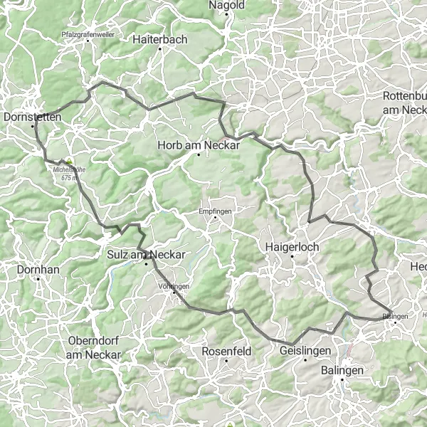
Embark on a scenic road cycling adventure starting near Grosselfingen
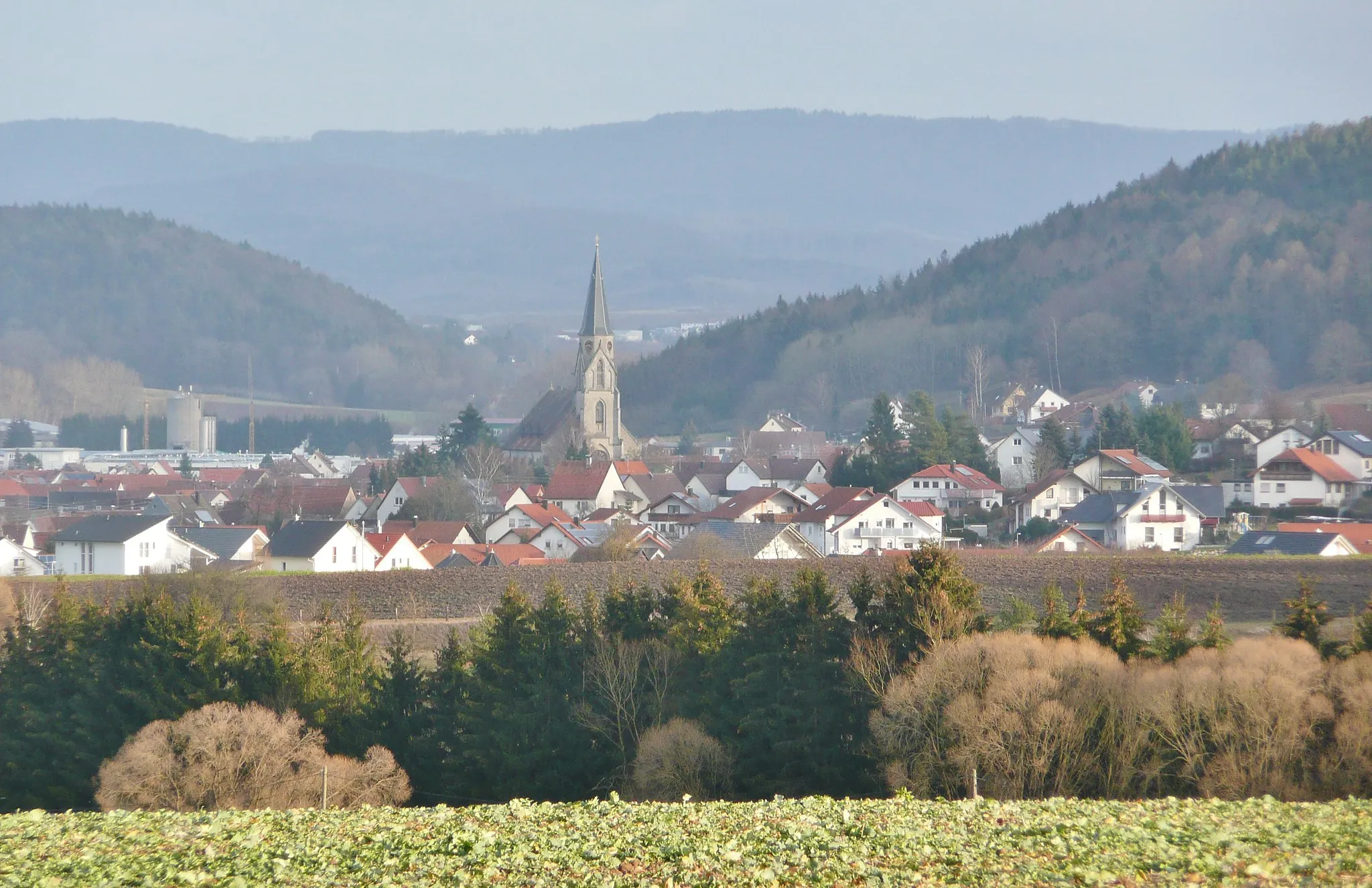
This 75 km road cycling route starting near Grosselfingen is a delight for road cyclists of all levels. With a difficulty rating of 3 and an epicness level of 3, this route offers a balanced mix of challenging hills and enjoyable flat sections. Highlights include the picturesque Wasserreservoir Weilheim and the charming town of Bodelshausen. Enjoy stunningviews from the Undingen lookout point and experience the beauty of nature in the Weinstein forest.
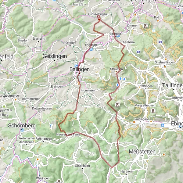
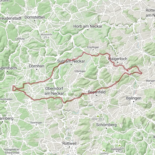
A thrilling 57-km gravel route featuring scenic landscapes and historic landmarks
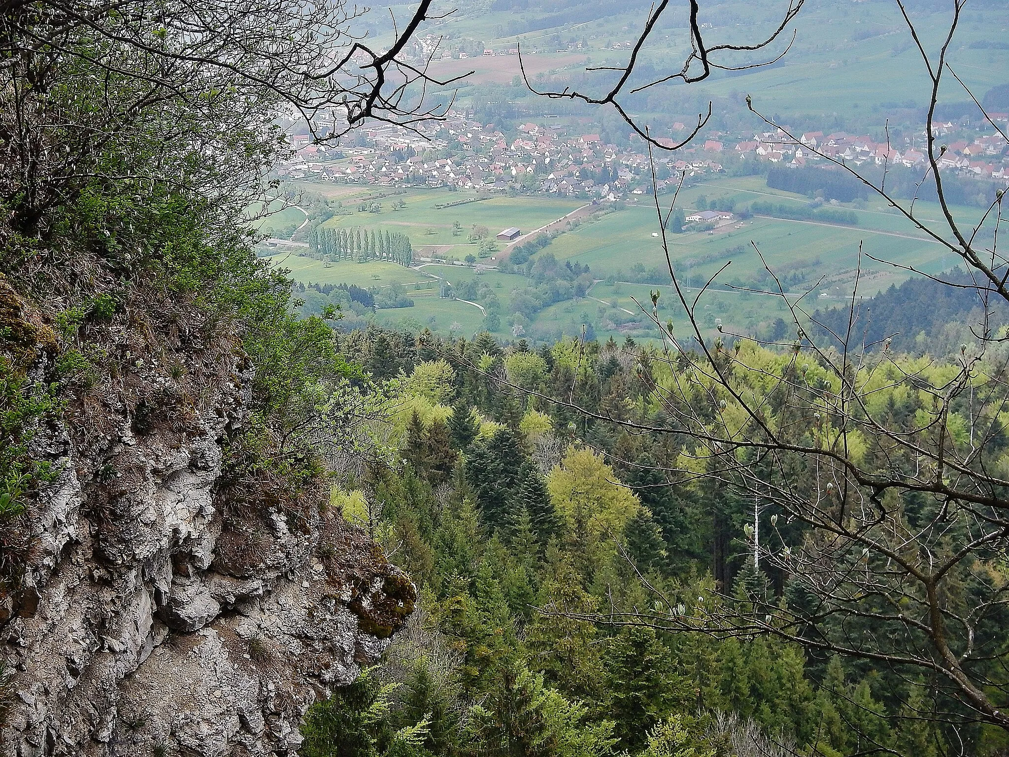
Embark on a thrilling 57-km gravel route starting in Grosselfingen and heading towards Hausen am Tann. This scenic and challenging route takes you through untouched landscapes and features several historic landmarks, including Lochenstein. The highlight of the route is the climb up the Alter Berg, offering majestic panoramic views. With a total ascent of 1127 meters, this route is suitable for experienced gravel cyclists seeking an adventurous journey.
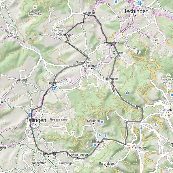
Embark on a scenic road biking journey around Grosselfingen
Get ready for a delightful cycling experience as you traverse the beautiful roads near Grosselfingen. This round-trip route covers a total distance of 41 kilometers and a challenging ascent of 654 meters. With stunning highlights along the way, this road cycling route guarantees both excitement and enjoyment.

A picturesque route with a challenging climb on the Weiler Berg
Embark on a scenic 84-km road cycling route from Grosselfingen to Hohe Mark. This route offers breathtaking views, including the picturesque landscapes of Rossberg and the charming town of Rottenburg am Neckar. The highlight is the challenging climb up the Weiler Berg, with rewarding panoramic views from the top. With a total ascent of 1103 meters, this route is suitable for intermediate-level road cyclists looking to admire stunning landscapes and take on a challenging climb.

Embark on a road cycling adventure near Grosselfingen and experience the thrill of conquering the open roads
This road cycling route near Grosselfingen covers a distance of 113km and an ascent of 1709m, offering a challenging experience for seasoned cyclists. The picturesque landscapes and notable highlights along the way make it an exciting and enjoyable journey.
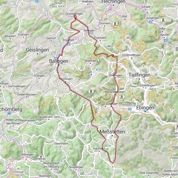
Embark on an exhilarating gravel cycling route near Grosselfingen
Discover the rustic beauty around Grosselfingen as you embark on this epic gravel cycling route. Spanning 94 kilometers and featuring a challenging ascent of 1487 meters, this route promises breathtaking landscapes and exciting adventures.
Explore the gravel paths and picturesque landscapes around Grosselfingen
This route takes you on a thrilling adventure through gravel terrain, with plenty of charming highlights along the way. The overall distance of 64km and an ascent of 1135m make it a challenging but rewarding ride.
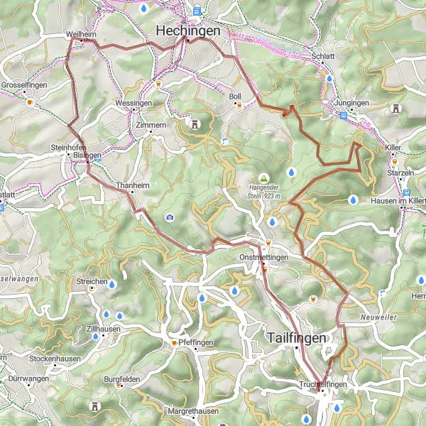
Venture into the gravel roads surrounding Grosselfingen
Embark on a thrilling gravel cycling adventure through the picturesque countryside near Grosselfingen. With a distance of 48 kilometers and an ascent of 859 meters, this route offers a perfect mix of excitement and natural beauty.
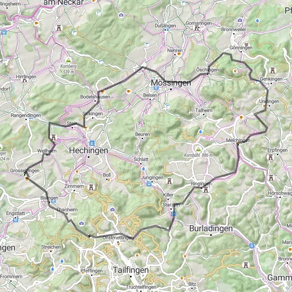
Take on the ultimate challenge and conquer the Swabian Alps on this road cycling route starting near Grosselfingen
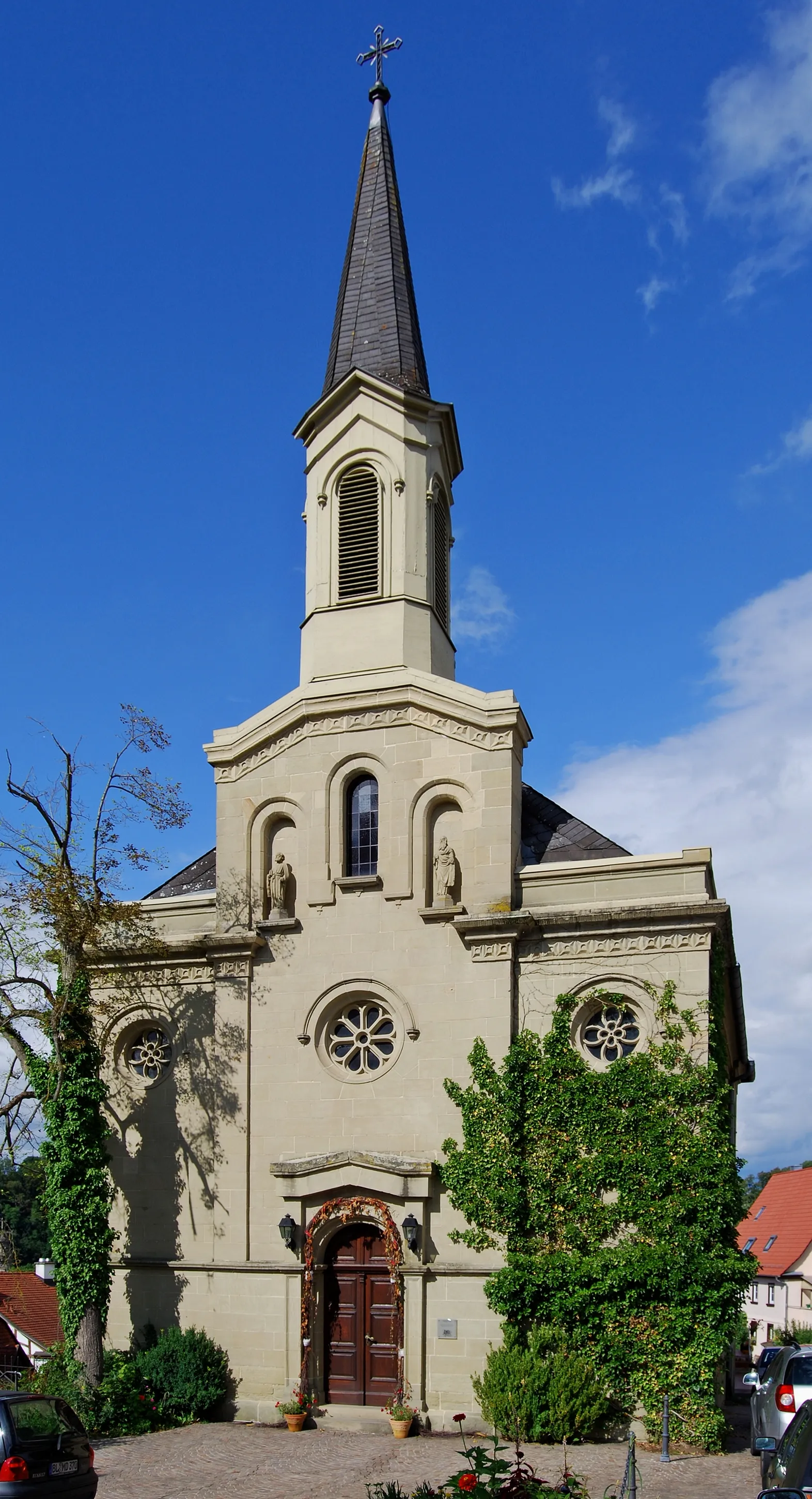
Prepare for the ultimate challenge on this 103 km road cycling route through the challenging Swabian Alps. With a difficulty rating of 5 and an epicness level of 4, this route is suited for experienced cyclists seeking a demanding and rewarding adventure. Highlights include the iconic Ostdorf, scenic Vöhringen, and the breathtaking Michelshöhe lookout point. Don't miss the opportunity to admire the mesmerizing Albblick and the idyllic beauty of Rangendingen.
Experience an adventurous ride through the imposing landscapes of the Swabian Alb
This 82 km gravel route takes you on an adventurous journey through the breathtaking landscapes of the Swabian Alb. With a difficulty rating of 4 and an epicness level of 4, this route offers a challenging yet rewarding experience for advanced riders. Highlights include the stunning Kreuzfelsen and Burgfelsen rock formations, as well as the picturesque town of Winterlingen. Do not miss the opportunity to climb the Hundsrücken hill and enjoy panoramic views of the surrounding region.
Cycling routes nearby:


Nearby regions: