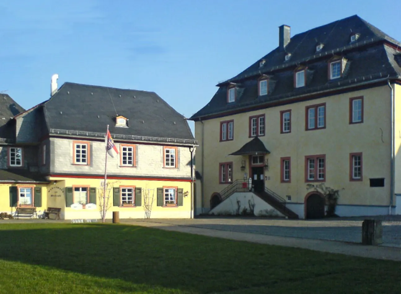
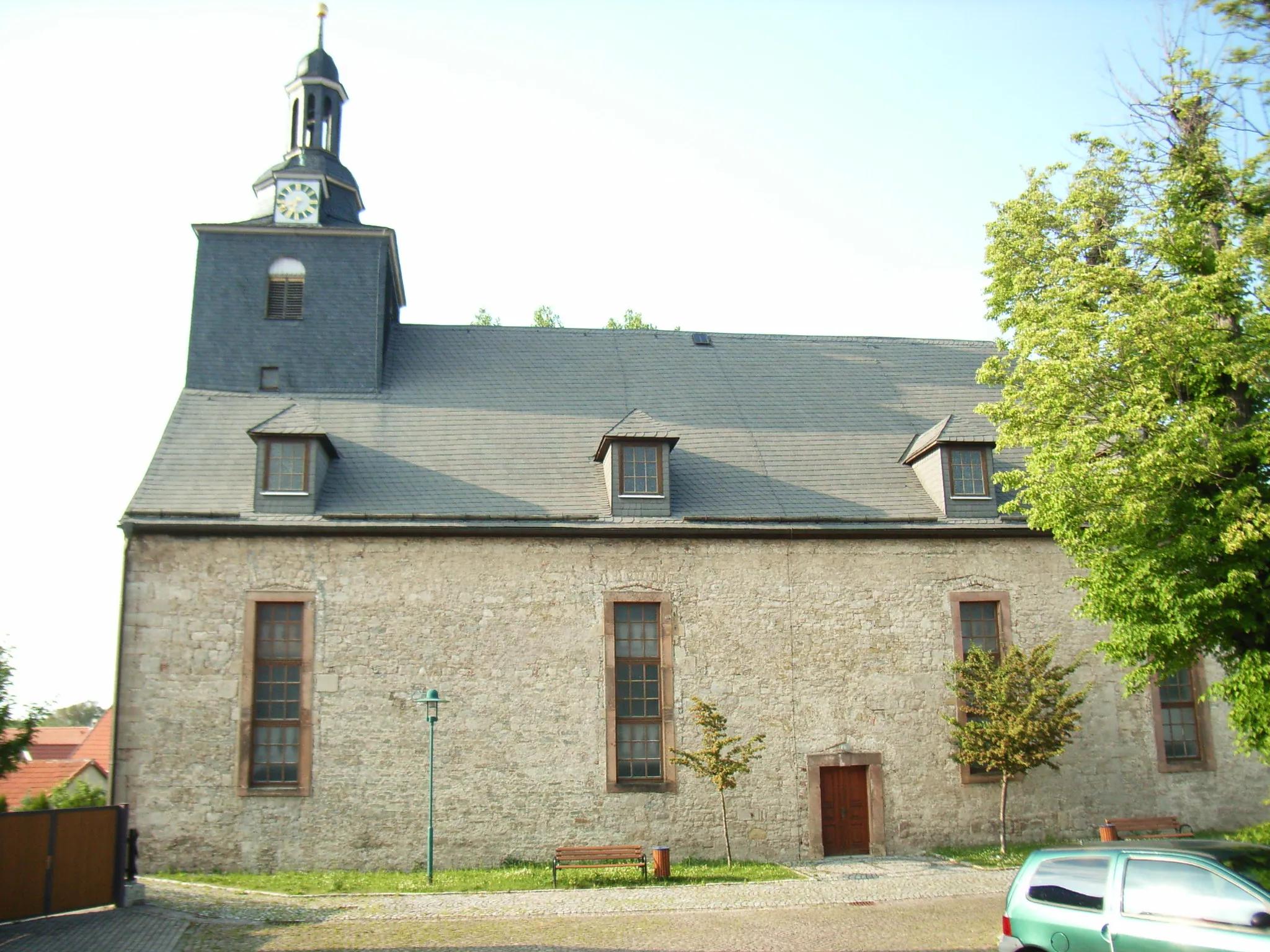
Exploring scenic routes and charming villages in Grafenrheinfeld
Cycling routes from Grafenrheinfeld
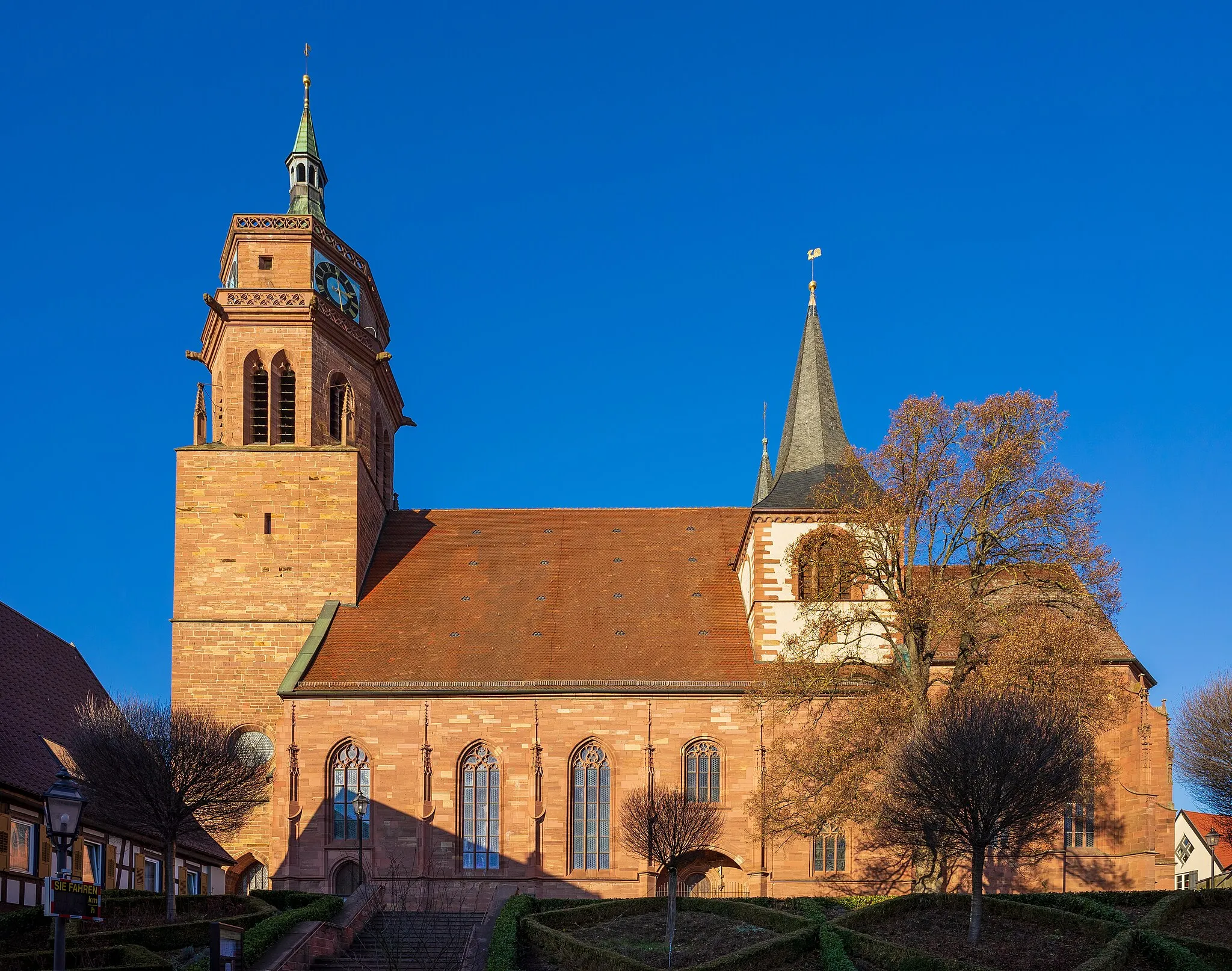
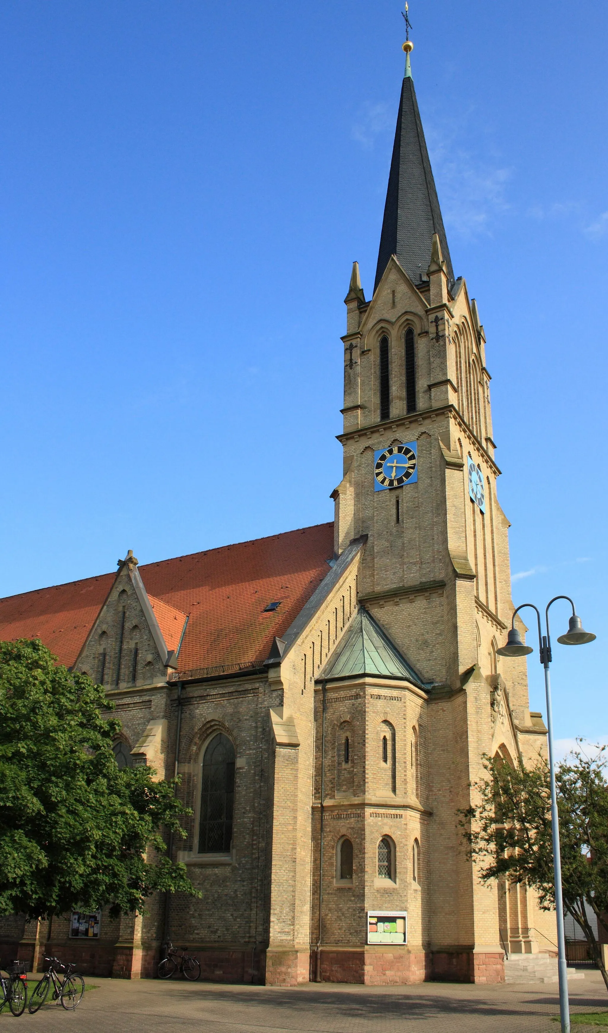
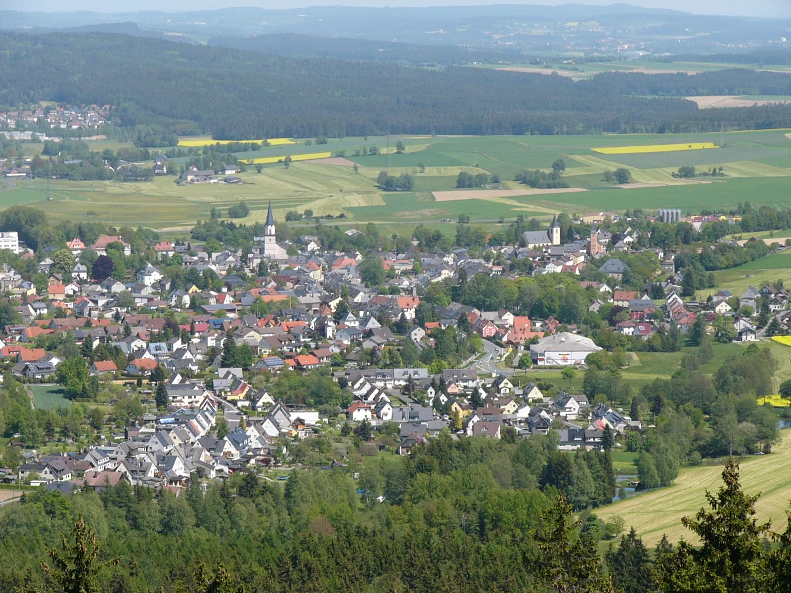
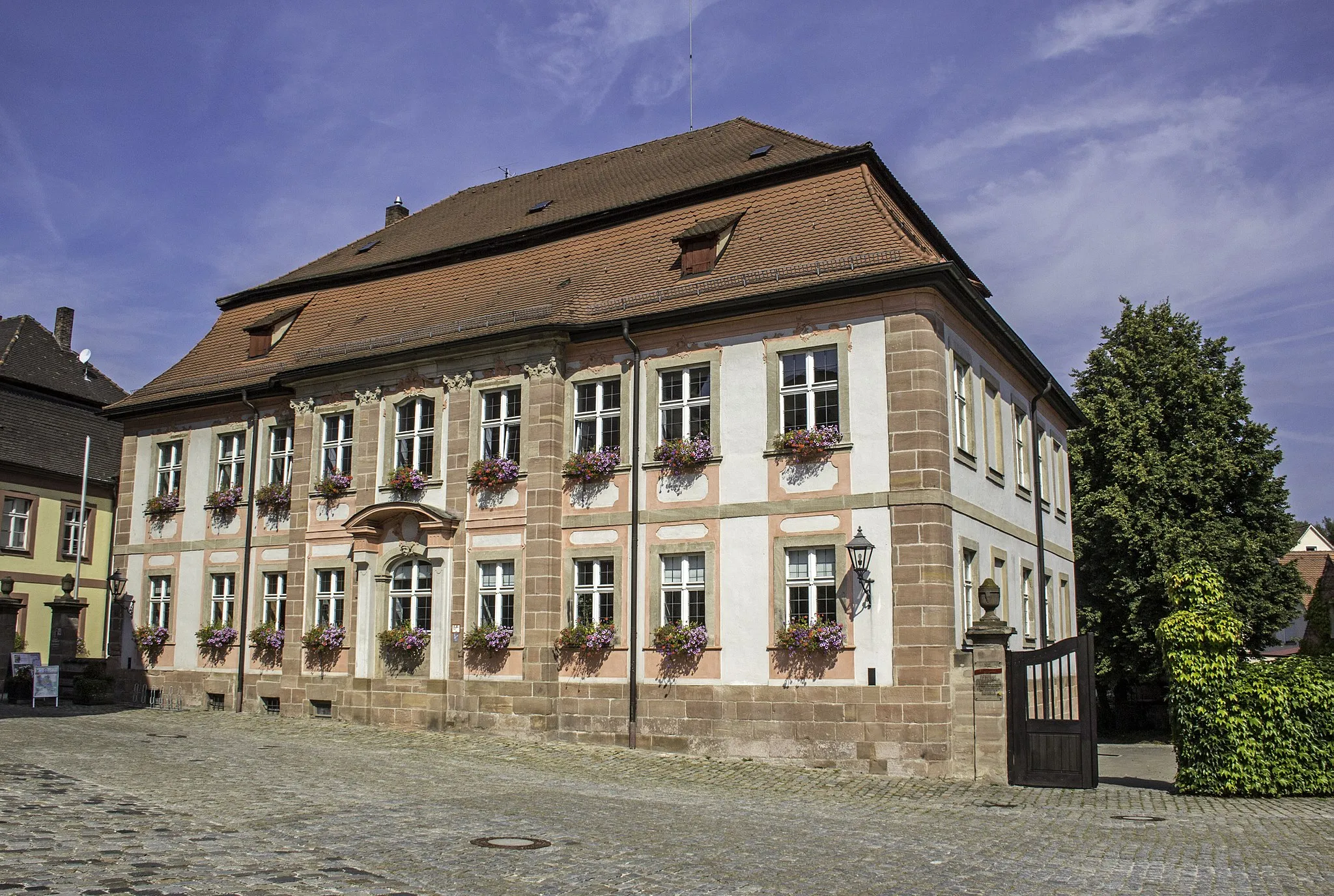
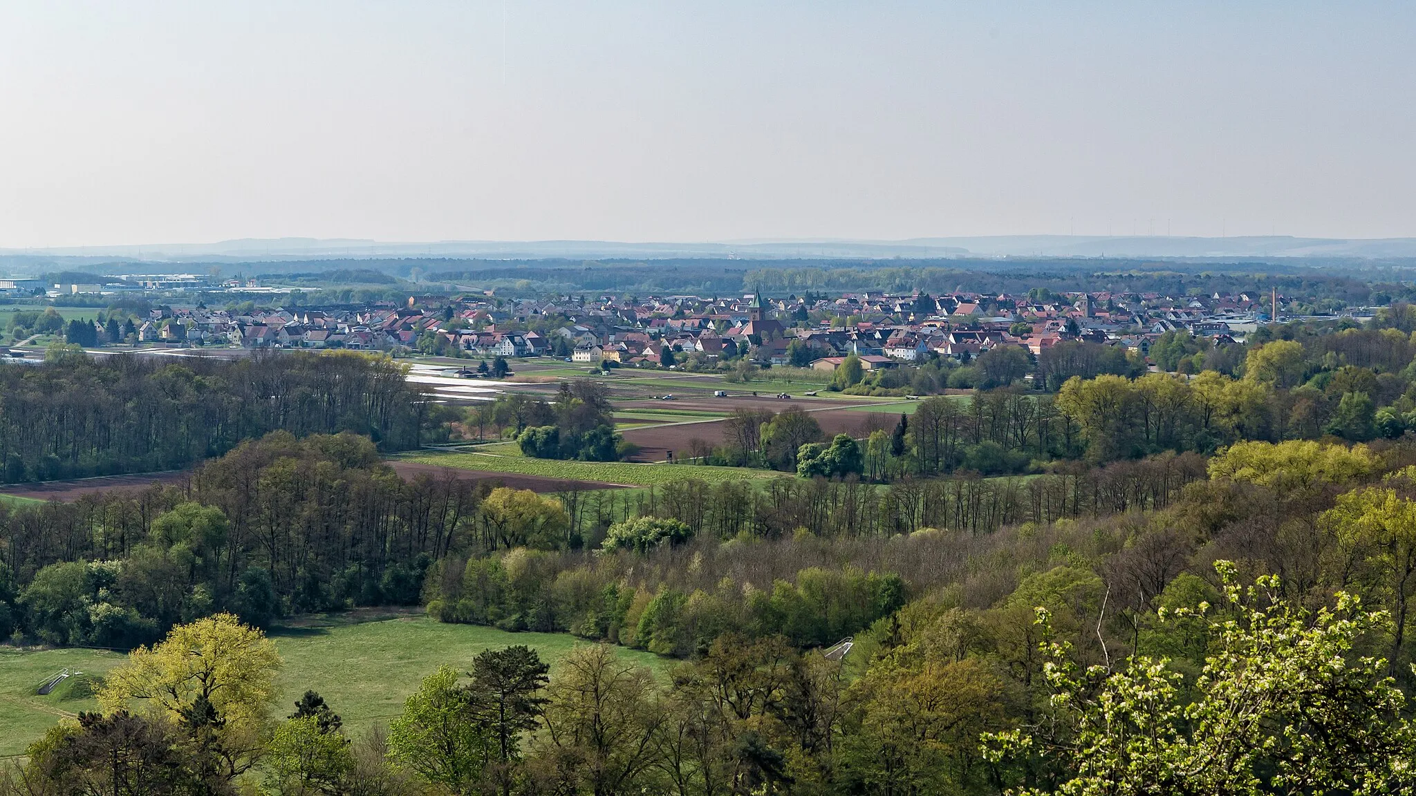
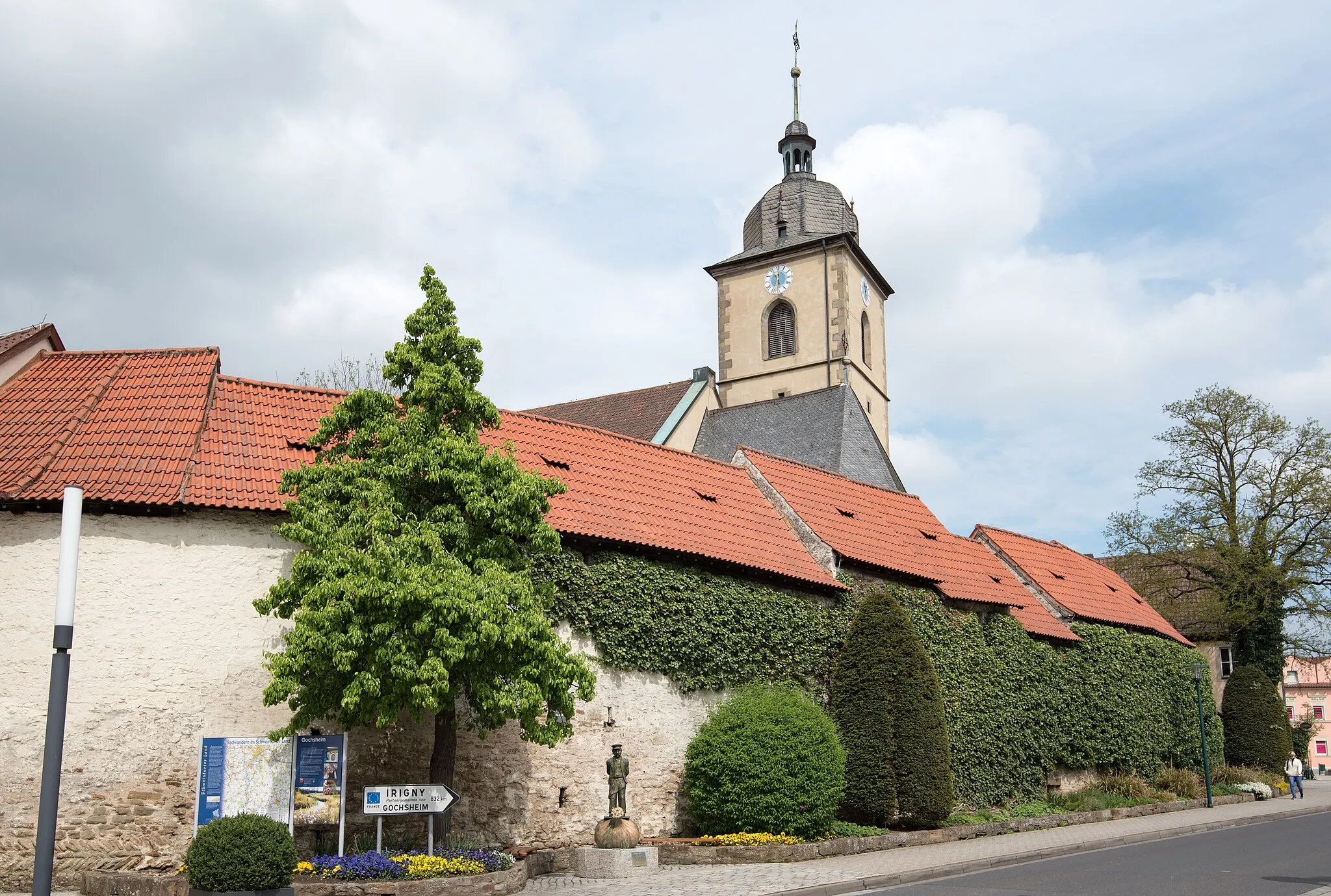
Grafenrheinfeld is a locality in Unterfranken, Germany. The area offers cycling opportunities that cater to both road and gravel cyclists. Grafenrheinfeld has well-maintained roads, making it suitable for road cycling, and also has scenic gravel trails for off-road enthusiasts. The region is known for its charming villages and tranquil countryside, providing a peaceful environment for cyclists. There are several well-marked cycling routes in the area that take cyclists through picturesque landscapes and cultural landmarks. Grafenrheinfeld is also home to the popular Grafenrheinfeld Loop, which offers a challenging yet rewarding ride for experienced cyclists.
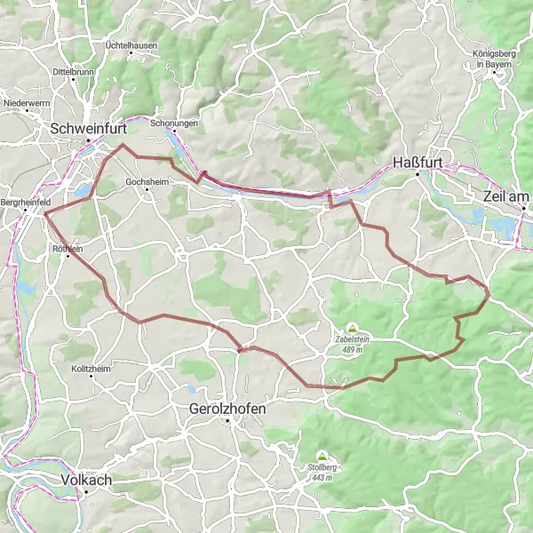
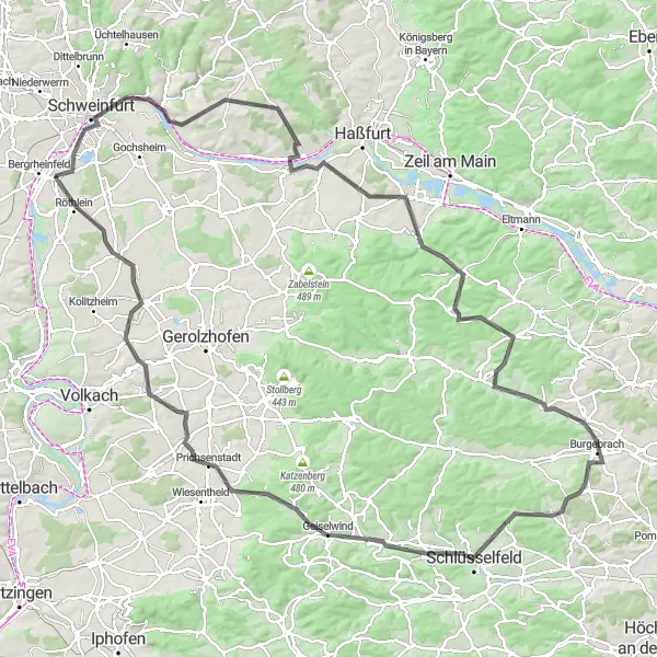
Embark on a challenging gravel loop that leads you through diverse landscapes and captivating points of interest.
Get ready for an adventurous and challenging gravel loop that takes riders through diversified landscapes and introduces them to captivating highlights. This 95 km route boasts a challenging ascent of 1291 m, making it an ideal choice for experienced gravel cyclists seeking a fulfilling ride.
Traverse through villages and panoramic stretches to reach vantage points with sprawling views.
Embark on a gravelly adventure that takes you through picturesque villages, breathtaking panoramas, and introduces you to stunning vantage points along the way. The route covers a distance of 77 km and features an ascent of 664 m. Riders can expect a diverse mix of countryside landscapes with charming highlights to explore.
Gravel Route 2
Cycle through forests and visit scenic viewpoints near Grafenrheinfeld.
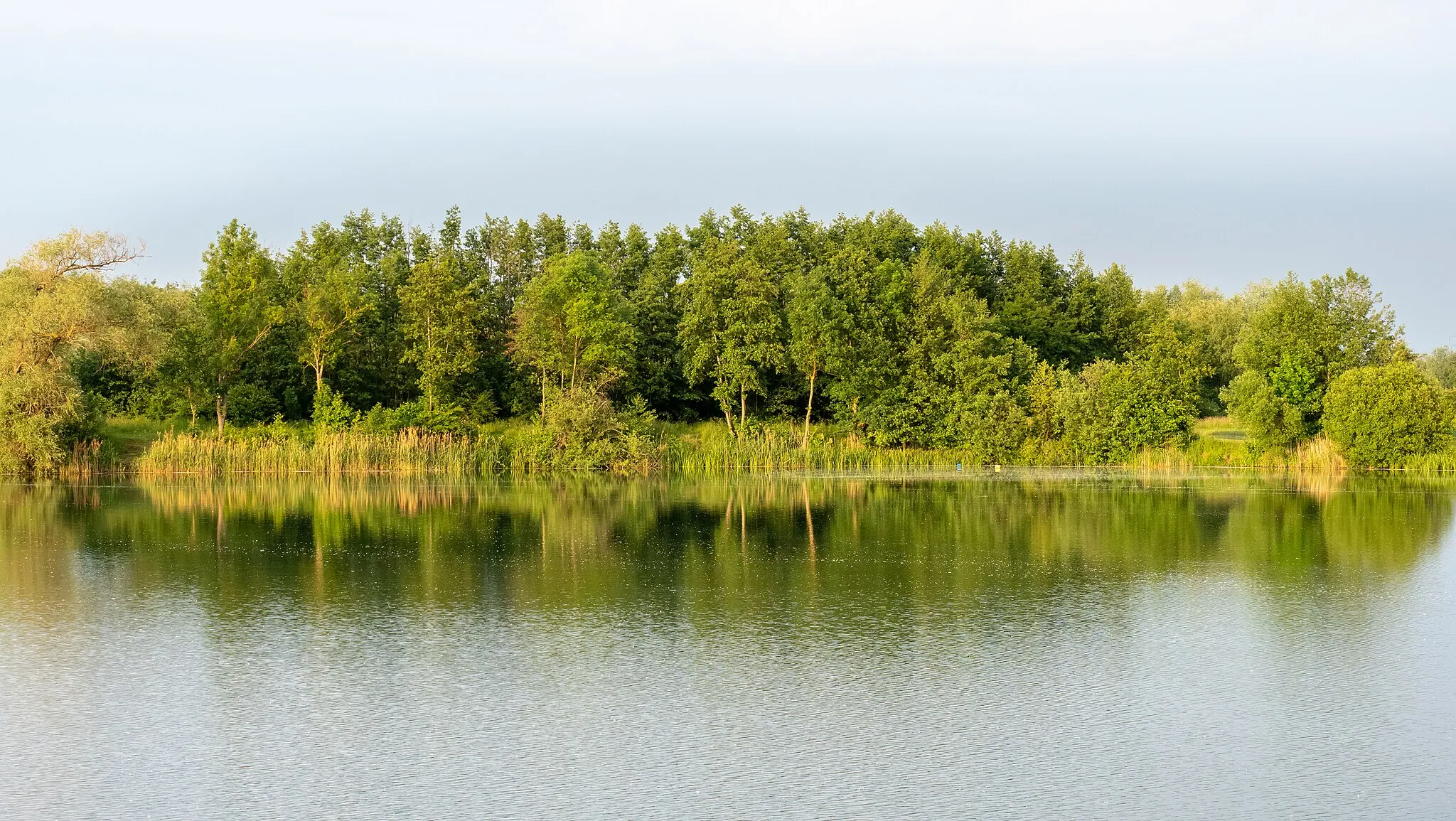
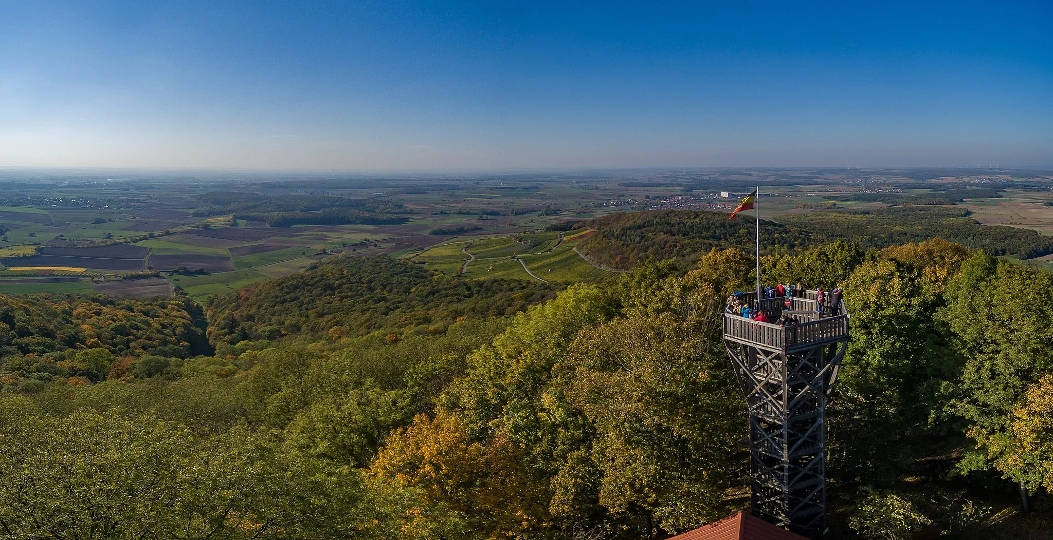
Cycle through enchanting forests and discover scenic viewpoints along this gravel route near Grafenrheinfeld. Covering a distance of 74 km and a challenging ascent of 520 meters, this route is perfect for gravel enthusiasts seeking adventure. Starting in Grafenrheinfeld, you will pass through Aussichtskanzel Maintalblick, Untereuerheim, Steinsfeld, Silbersattel, Michelau i.Steigerwald, Krähenhügel, and Röthlein. Highlights include Aussichtskanzel Maintalblick, a viewpoint offering breathtaking vistas of the Maintal valley, and the peaceful village of Untereuerheim, immersed in the beauty of the Franconian countryside. Overall, this route provides a combination of natural beauty, historical landmarks, and challenging gravel trails.
Embark on a scenic and serene road cycling route, encountering great observation points.
Discover the beauty of the region while embarking on a road cycling route designed to immerse you in scenic and serene landscapes. With a total distance of 59 km and an ascent of 164 m, this route promises gentle slopes, picturesque villages, and breathtaking observation points along the way.
Embrace the undulating routes that blend dramatic landscapes with picturesque villages.
Embark on a captivating cycling adventure that seamlessly weaves together undulating routes, striking landscapes, and undisturbed villages. This road cycling route spans 96 km and features ascents totaling 911 m, providing a challenging yet rewarding experience that introduces you to the hidden gems of Unterfranken.
The Northern Route
Cycle through picturesque villages and enjoy panoramic views.
The Northern Route is a scenic cycling route starting near Grafenrheinfeld. It takes you through beautiful villages, offering breathtaking views of the surrounding countryside. The route is ideal for cyclists who enjoy both road and gravel biking, with well-maintained paths for both types of bikes. You will also encounter several highlights along the way, providing opportunities to rest and explore the attractions of the region.
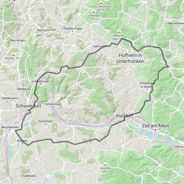
Journey through Historical Time
Immerse yourself in history as you navigate a road cycling route steeped in cultural heritage.
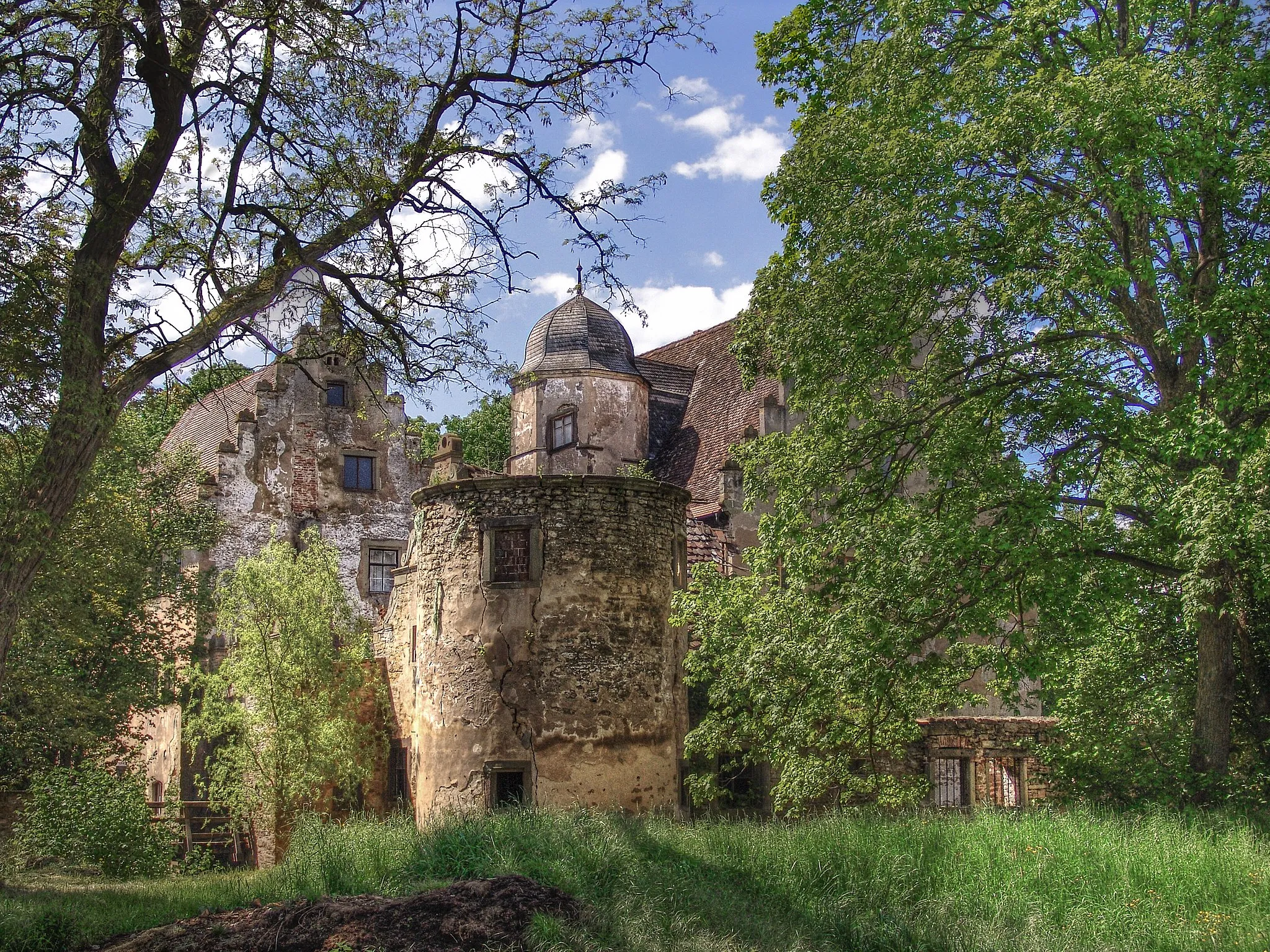
Embark on a memorable road cycling journey immersed in the historical richness of the region. This 91 km route, with a challenging ascent of 632 m, will take you through beautiful landscapes while introducing you to fascinating historical landmarks along the way.
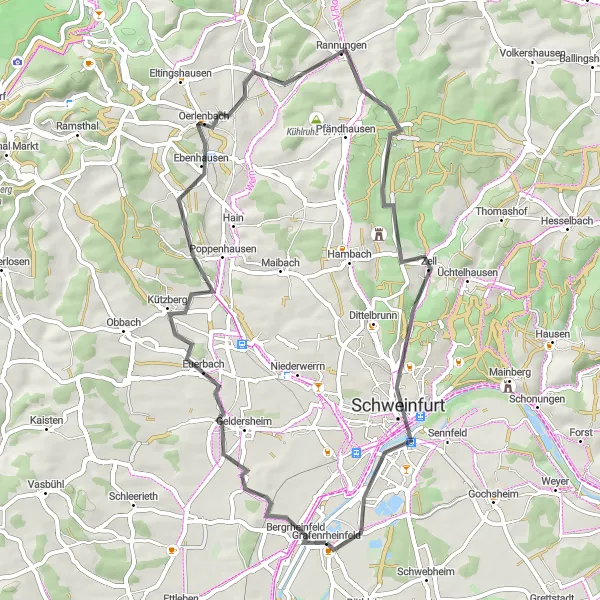
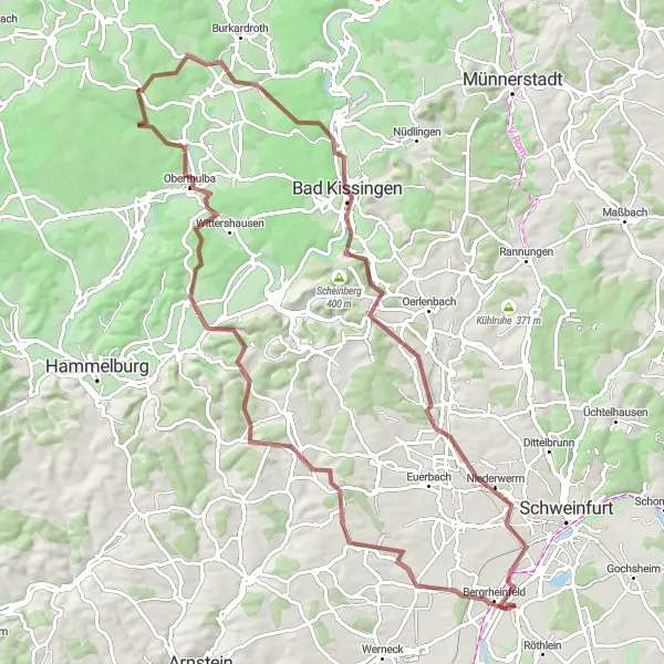
Explore the hilly landscapes around Grafenrheinfeld.
This road cycling route takes you through picturesque hilly landscapes near Grafenrheinfeld. With a distance of 54 km and an ascent of 411 meters, this route offers a moderate challenge for well-trained amateurs. The route starts in Grafenrheinfeld and passes through Bergrheinfeld, Euerbach, Oerlenbach, Rannungen, Feldherrenhügel, and Schweinfurt. Highlights along the route include the historical town of Schweinfurt, known for its industrial heritage and architecture. Overall, this route provides scenic views and a chance to experience the charming rural landscapes of Unterfranken.
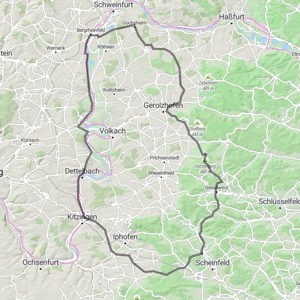
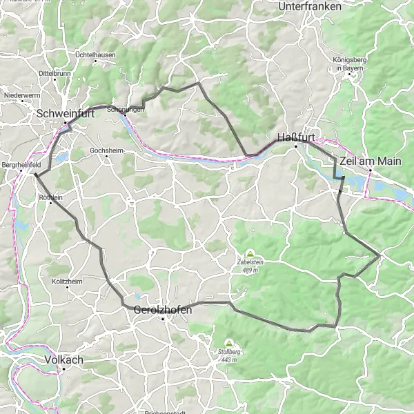
Road Route 2
Cycle through diverse landscapes and historic towns near Grafenrheinfeld.
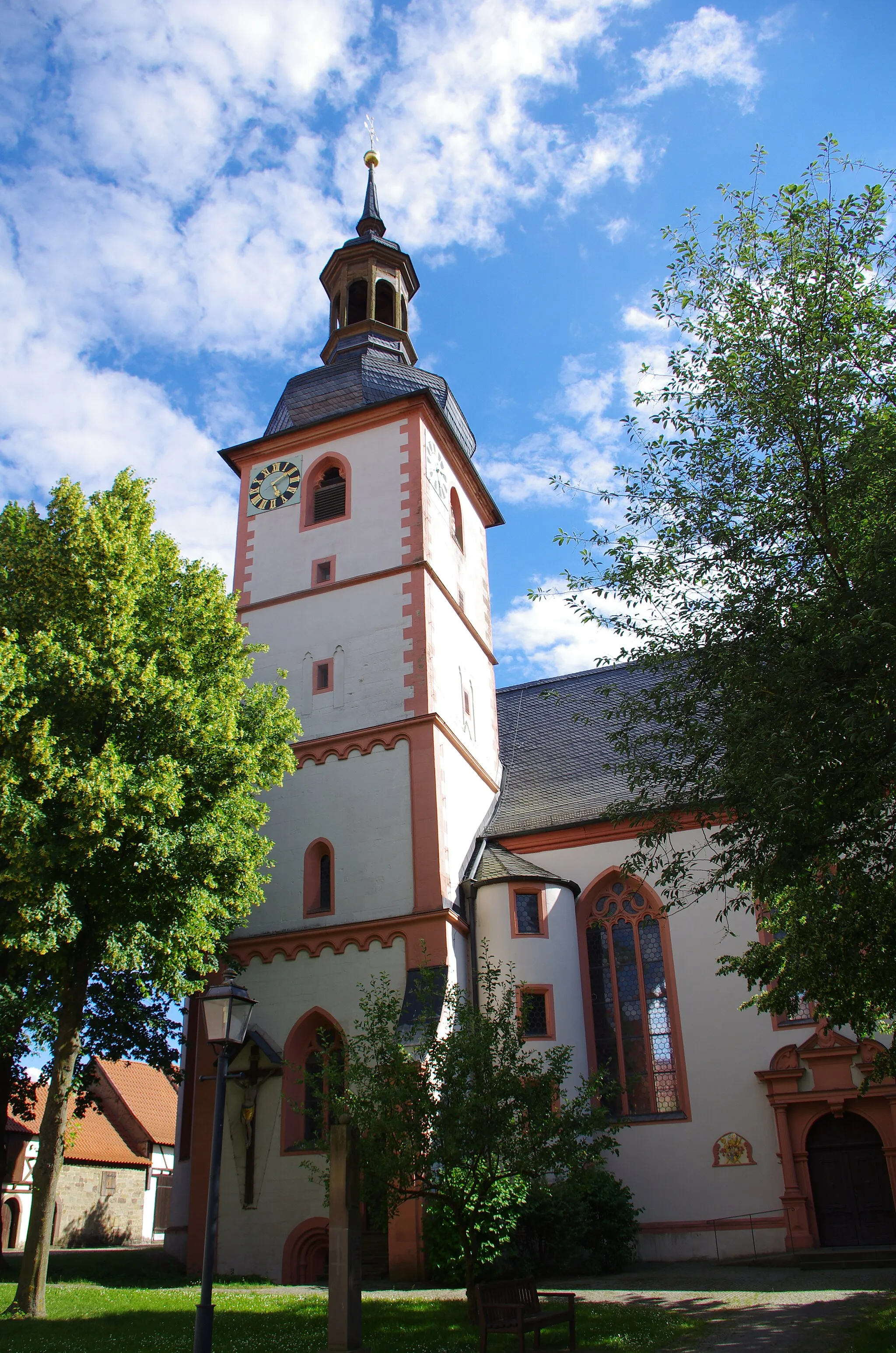
Embark on a road cycling adventure through diverse landscapes and historic towns near Grafenrheinfeld. Covering a distance of 133 km, this route is challenging with an ascent of 1125 meters. Starting in Grafenrheinfeld, you will ride through Beerhüterturm, Schonungen, Buchner Höhe 405.8m, Wonfurt, Knetzgau, Hohe Lohe, Schönbrunn im Steigerwald, Schlüsselfeld, Geiselwind, Aussichtspunkt Glösberg, Prichsenstadt, Zeilitzheim, and Röthlein. Highlights include Beerhüterturm, which offers panoramic views of the surrounding countryside, and Schönbrunn im Steigerwald, a charming village with traditional Franconian houses. This route offers a combination of scenic beauty and cultural exploration.
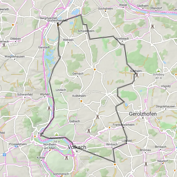
Gravel Route 3
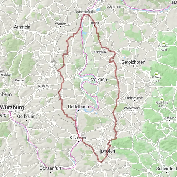
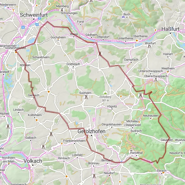
Discover wine villages and enjoy scenic viewpoints near Grafenrheinfeld.
Embark on a gravel cycling adventure through charming wine villages and enjoy scenic viewpoints along this route near Grafenrheinfeld. Covering a distance of 102 km and an ascent of 654 meters, this route offers a challenging yet rewarding experience. Starting in Grafenrheinfeld, you will pass through Gernach, Zeilitzheim, Kleinlangheim, Schwanberg, Iphofen, Mainbernheim, Aussichtspunkt Winterhafendamm, and Bergrheinfeld. Highlights include the wine village Zeilitzheim, known for its vineyards and charming countryside landscapes. Additionally, the Aussichtspunkt Winterhafendamm provides panoramic views of the Main river's scenic beauty. Overall, this route combines the enjoyment of gravel cycling with the pleasure of exploring wine culture and capturing breathtaking vistas.
Cycling routes nearby:

Nearby regions: