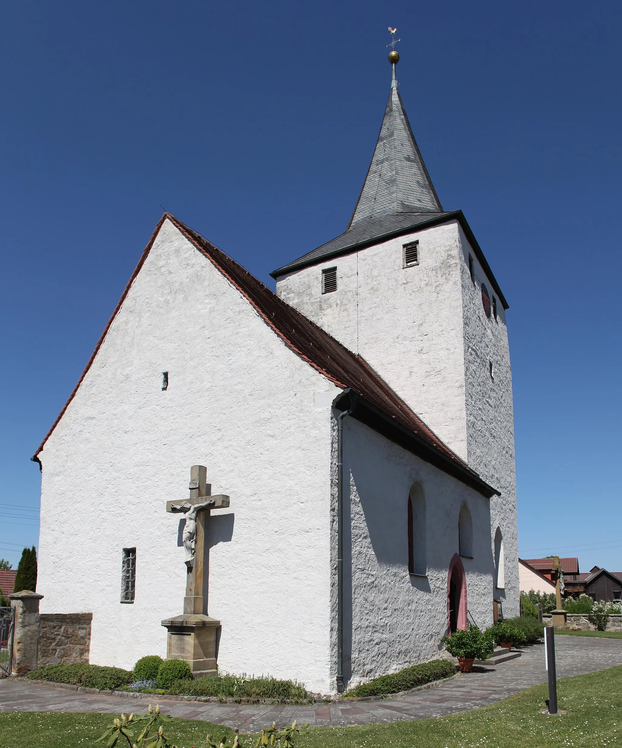
Exploring Tranquil Landscapes in Untermerzbach
Cycling routes from Untermerzbach
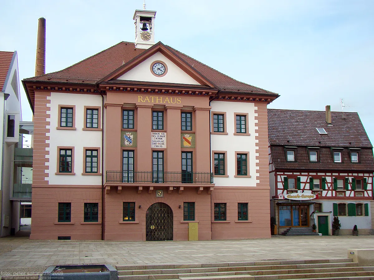
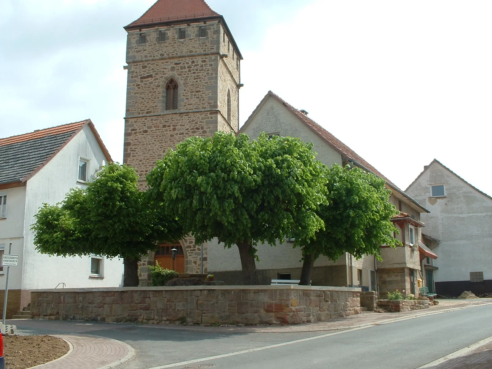
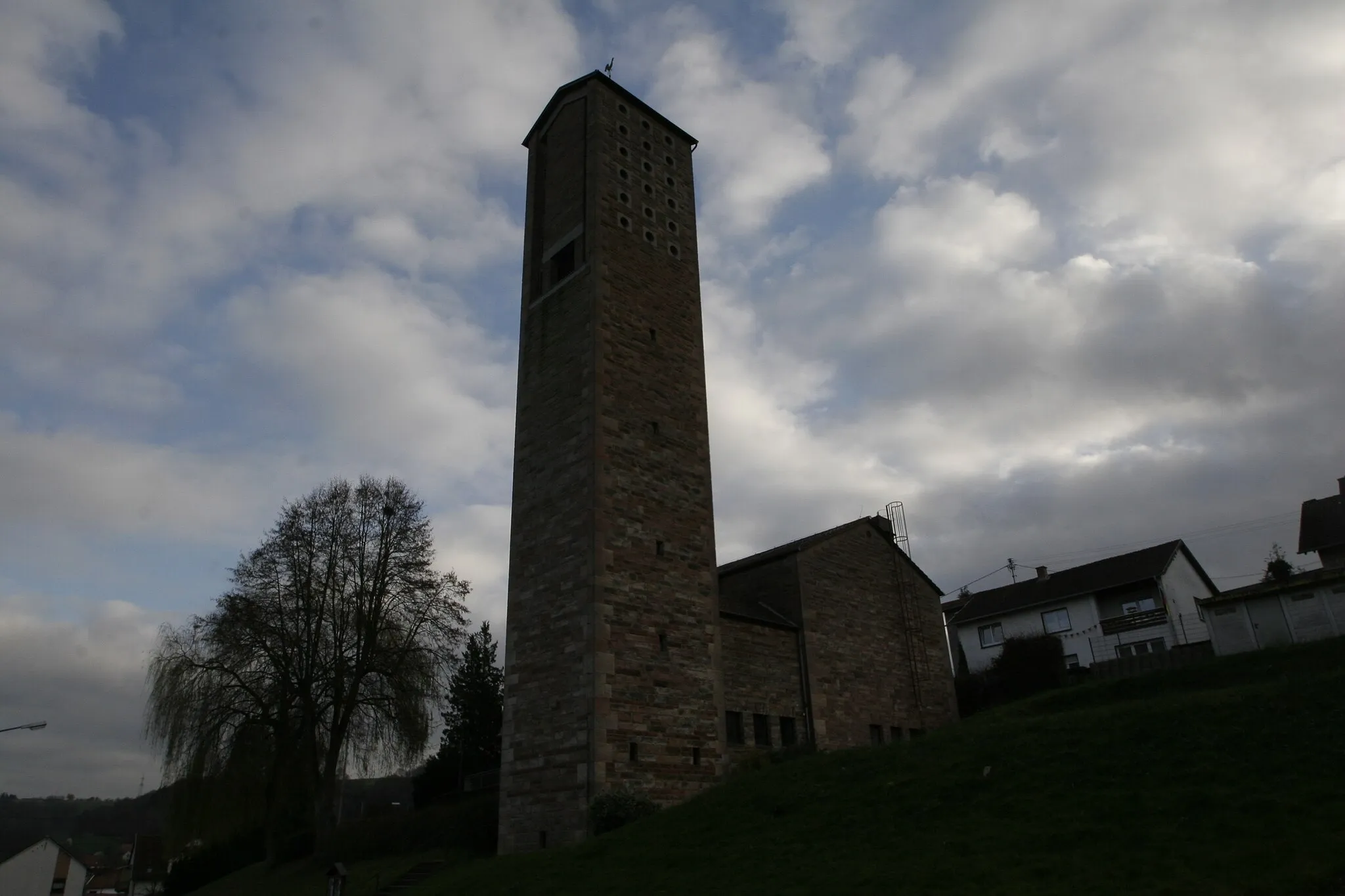
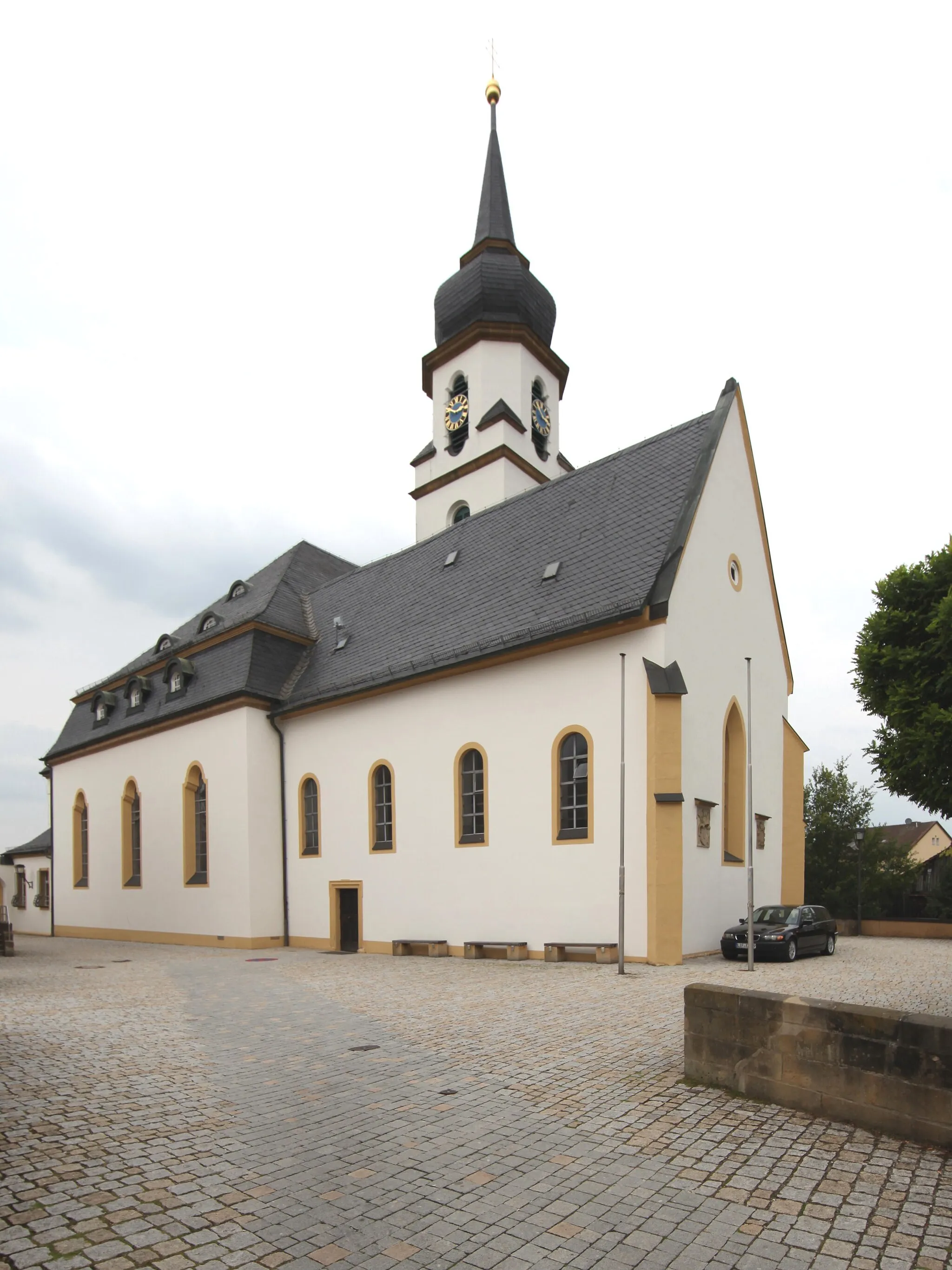
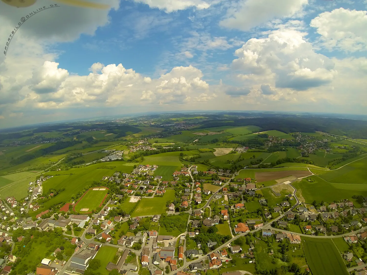
Untermerzbach is a town located in the Unterfranken region of Germany. For road and gravel cyclists, the area offers picturesque landscapes and quiet country roads. While not being a famous cycling destination, Untermerzbach provides a peaceful and authentic experience for riders looking to explore off the beaten path. There are no well-known cycling climbs in the immediate vicinity, but nearby areas offer challenging routes, such as the Klosterbachtal climb. Overall, Untermerzbach is a pleasant and tranquil destination for cyclists seeking a lesser-known gem.
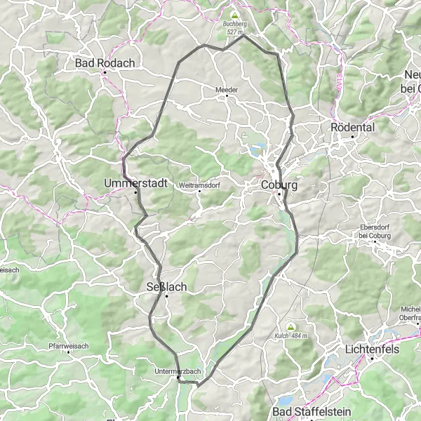
Discover the charming route from Untermerzbach to Coburg
This round-trip cycling route takes you through the beautiful region of Unterfranken, Germany. Starting in Untermerzbach, you will explore scenic landscapes, picturesque villages, and historic landmarks. The route includes a challenging ascent, offering a great workout for amateur cyclists with a well-trained fitness level. As you cycle through the countryside, you will be rewarded with breathtaking views and an unforgettable experience.
Experience the thrill of gravel riding on the Stadel Gravel Adventure
The Stadel Gravel Adventure is a 58 km route that offers a thrilling and challenging ride for gravel biking enthusiasts. With a total ascent of 859 meters, this route will push your limits and provide an adrenaline-filled adventure. The route takes you through the scenic landscapes of Unterfranken, with highlights along the way that showcase the natural beauty and cultural heritage of the region. From medieval castles to idyllic villages, this adventure has something for everyone.
Scenic Road Cycling Tour
Experience the scenic beauty of Unterfranken on this road cycling tour
The Scenic Road Cycling Tour is a 71 km route that takes you on a journey through the beautiful landscapes of Unterfranken. This road cycling tour is perfect for cyclists who want to experience the region's stunning scenery while enjoying a challenging ride. With a total ascent of 550 meters, this route provides a moderate level of difficulty. Along the way, you'll come across several highlights that showcase the natural beauty and cultural heritage of the area.
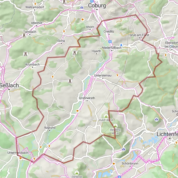
Itzgrund Gravel Loop
Ride through picturesque Itzgrund valley and enjoy the gravel roads
The Itzgrund Gravel Loop is a scenic cycling route that takes you through the beautiful Itzgrund valley in Unterfranken. This 65 km route is perfect for gravel biking enthusiasts who want to explore the beauty of this region. The route starts near Untermerzbach and offers stunning views of the surrounding countryside as you ride along gravel roads. With a total ascent of 894 meters, the route provides a good challenge for riders of all levels. From quaint villages to historic landmarks, this route is packed with highlights that showcase the rich history and natural beauty of the region.
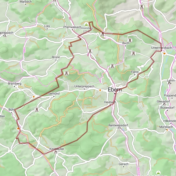
Embark on an off-road cycling adventure in Unterfranken's diverse landscape.
Get ready for an exciting off-road cycling experience as you navigate the gravel tracks of Unterfranken. With a moderate distance of 59 kilometers and an ascent of 928 meters, this route offers a thrilling challenge for gravel enthusiasts. Explore highlights such as Trimeusel, a hidden gem with beautiful panoramic views, and Vierzehnheiligen, a magnificent pilgrimage site with a breathtaking basilica. Prepare for an epic ride through rugged terrain and be rewarded with stunning views of nature's beauty.
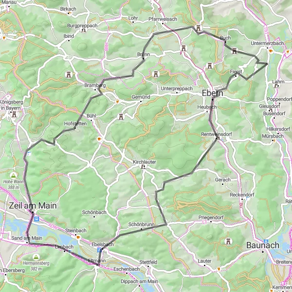
Embark on a scenic road cycling adventure through the landscapes of Unterfranken.
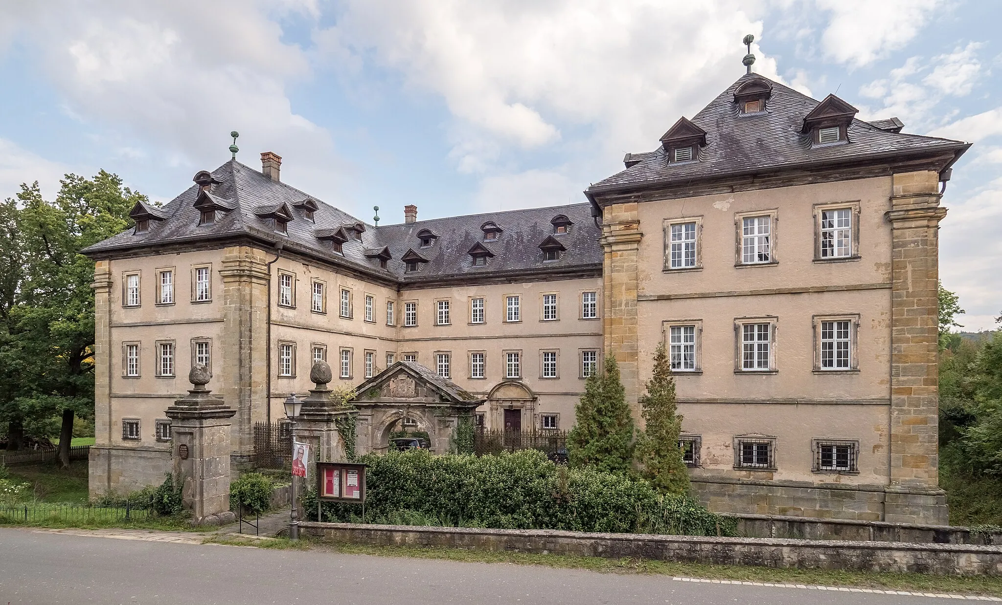
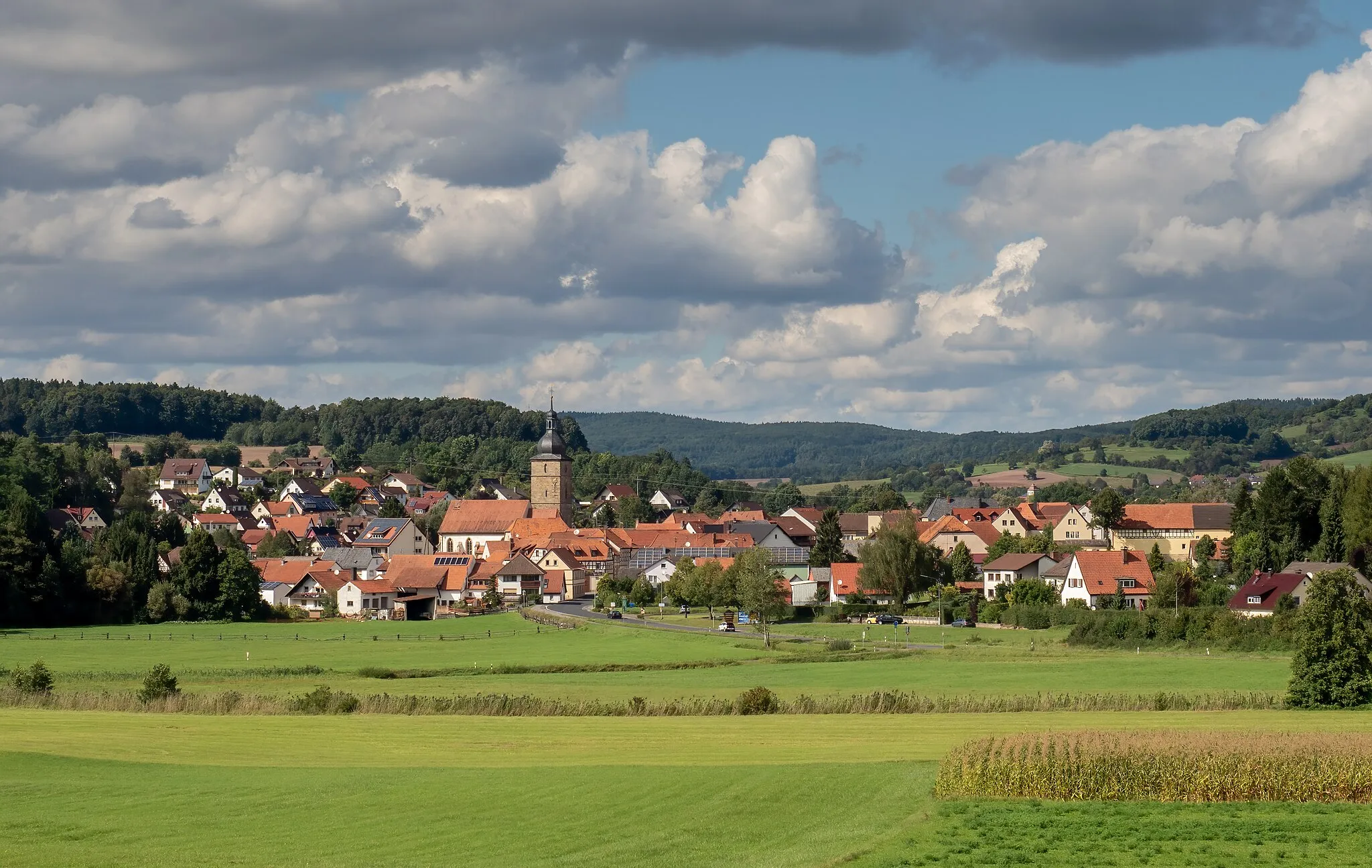
Experience the beauty of Unterfranken's landscapes on this scenic road cycling route. With a distance of 70 kilometers and an ascent of 883 meters, this route offers a moderate challenge for experienced amateur cyclists. Enjoy the smooth roads as you pass through picturesque villages and lush green fields. Highlights of this route include the interesting town of Ebern, the charming village of Gleisenau, and the panoramic views from the top of Burg Lichtenstein.
Unterfranken Gravel Trail
Immerse yourself in the natural beauty of Unterfranken on this gravel trail.
Escape from the crowds and explore the hidden gems of Unterfranken on this gravel trail. With a manageable distance of 47 kilometers and an ascent of 808 meters, this route provides a great balance between challenge and enjoyment. Discover highlights such as the impressive Aussichtsplattform, which offers sweeping views of the landscape, and the Ruine Raueneck, a medieval castle ruin shrouded in history. Connect with nature as you cycle through enchanting forests and beautiful countryside.

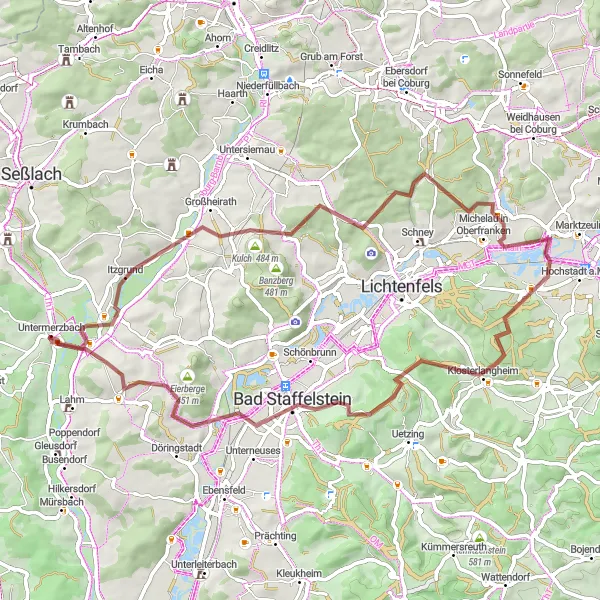
Experience the beauty of Unterfranken on this scenic cycling route.
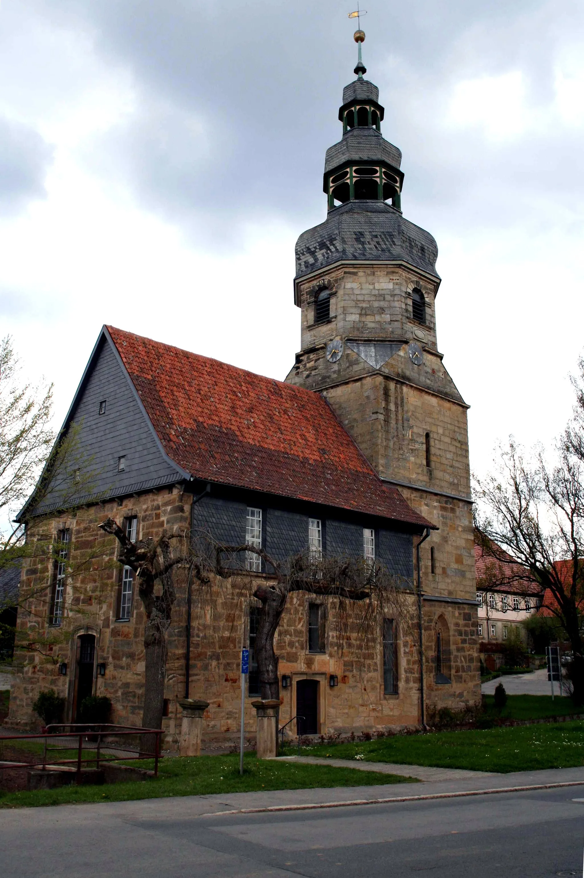
This cycling route takes you through the picturesque countryside of Unterfranken, offering stunning views of rolling hills and charming villages. With a manageable distance of 67 kilometers and a moderate ascent of 483 meters, it is suitable for well-trained amateur cyclists. The route is excellent for road bikes, allowing you to enjoy the smooth asphalt and navigate through the region with ease. Explore highlights such as the historic town of Altenbanz, the quaint village of Steglitz, and the beautiful spa town Bad Staffelstein.
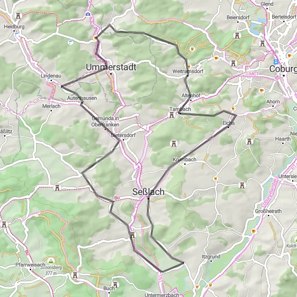
Discover the beauty of Gemünda and its surrounding countryside on this road cycling loop
The Gemünda Road Loop is a 54 km route that takes you through the scenic landscapes of Gemünda in Oberfranken. This road cycling route offers stunning views of the countryside and allows you to explore the charming village of Gemünda. With a total ascent of 528 meters, the route provides a moderate level of difficulty that is suitable for cyclists of all levels. Along the way, you'll encounter several highlights that highlight the natural beauty and cultural heritage of the region.
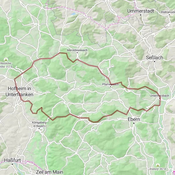
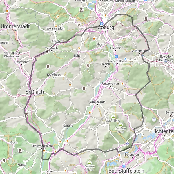
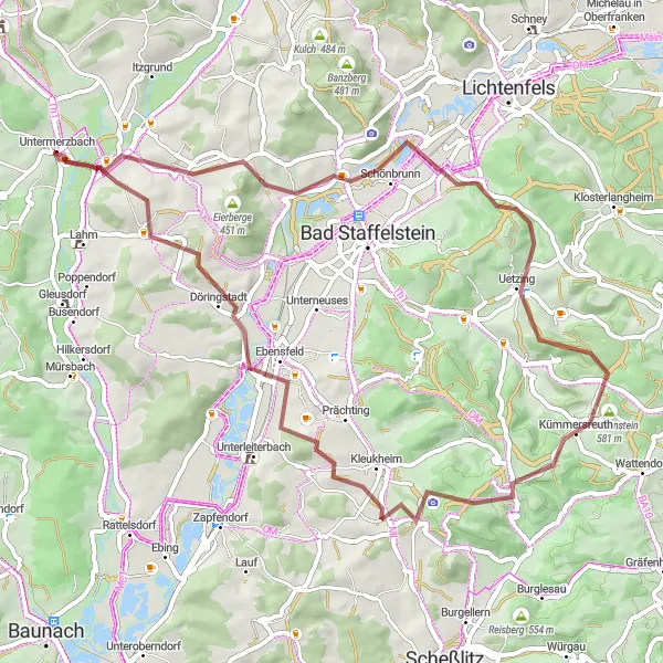
Embark on an exciting gravel adventure from Untermerzbach to scenic highlights
The Untermerzbach Gravel Adventure is a thrilling cycling route that starts near Untermerzbach and takes you on a 70 km journey through the stunning landscapes of Unterfranken. This route is ideal for gravel biking enthusiasts who are looking for an adventurous and challenging ride. With a total ascent of 993 meters, this gravel loop will push your limits and provide a true test of skill and endurance. Along the way, you'll encounter a series of highlights that showcase the natural beauty and historical landmarks of the region.
Cycling routes nearby:


Nearby regions: