Embracing the Calmness of Hungarian Countryside in Észak-Magyarország
Cycling routes from Gyongyospata
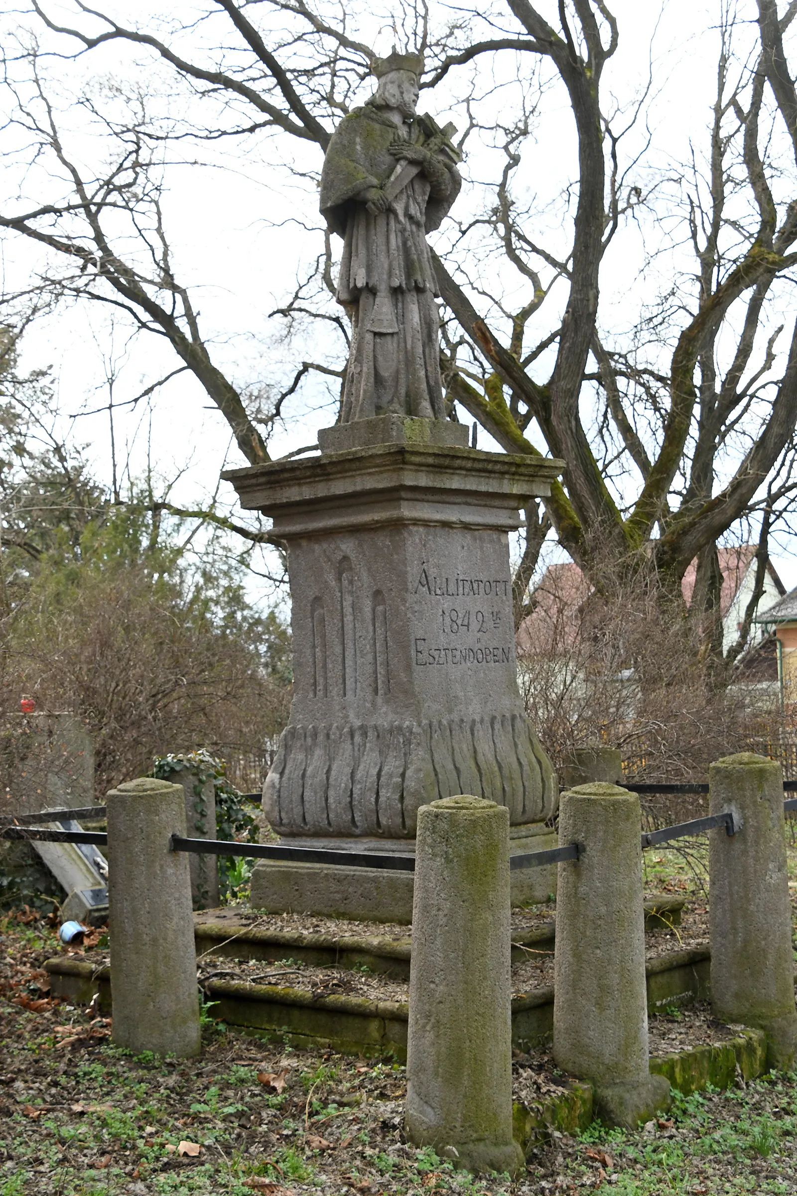
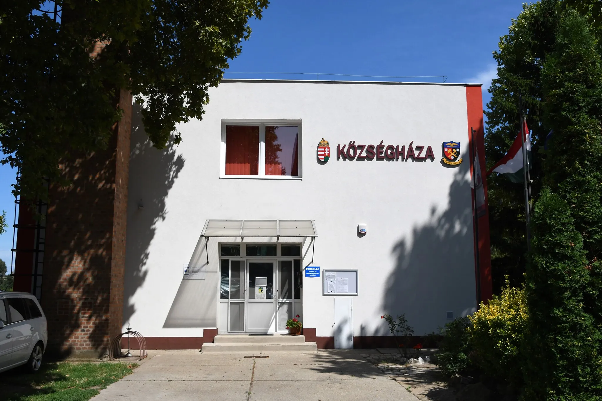
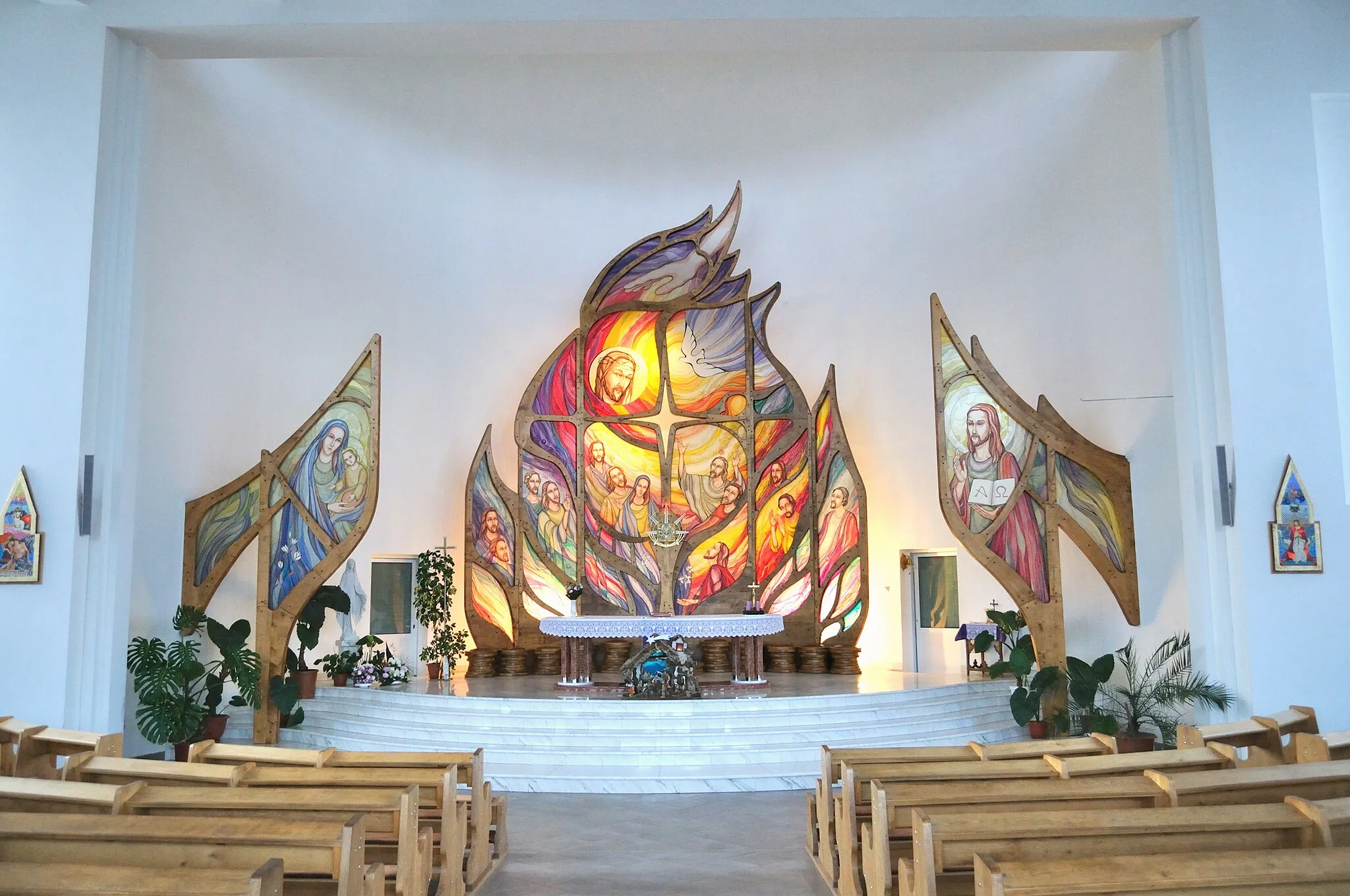
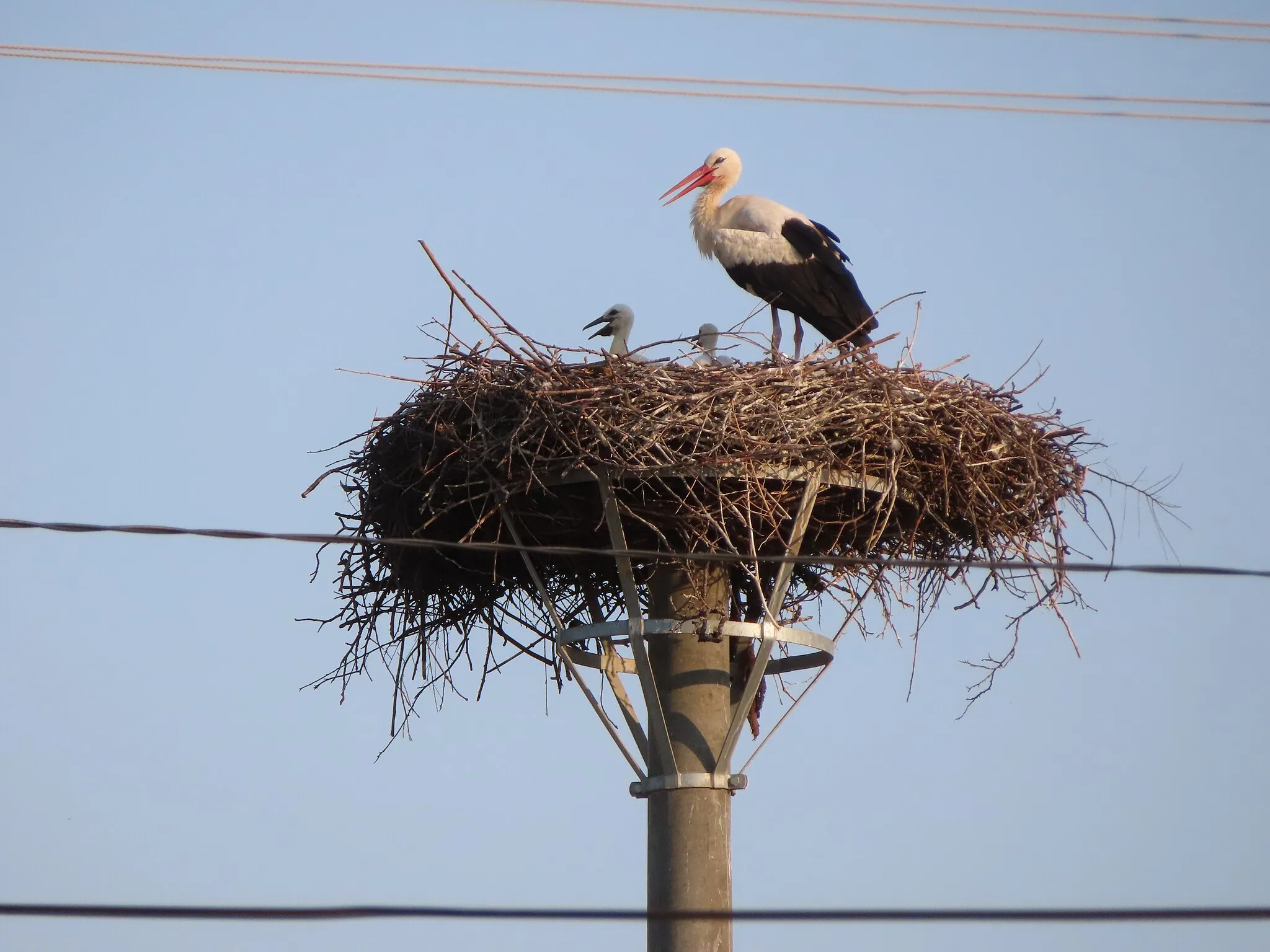
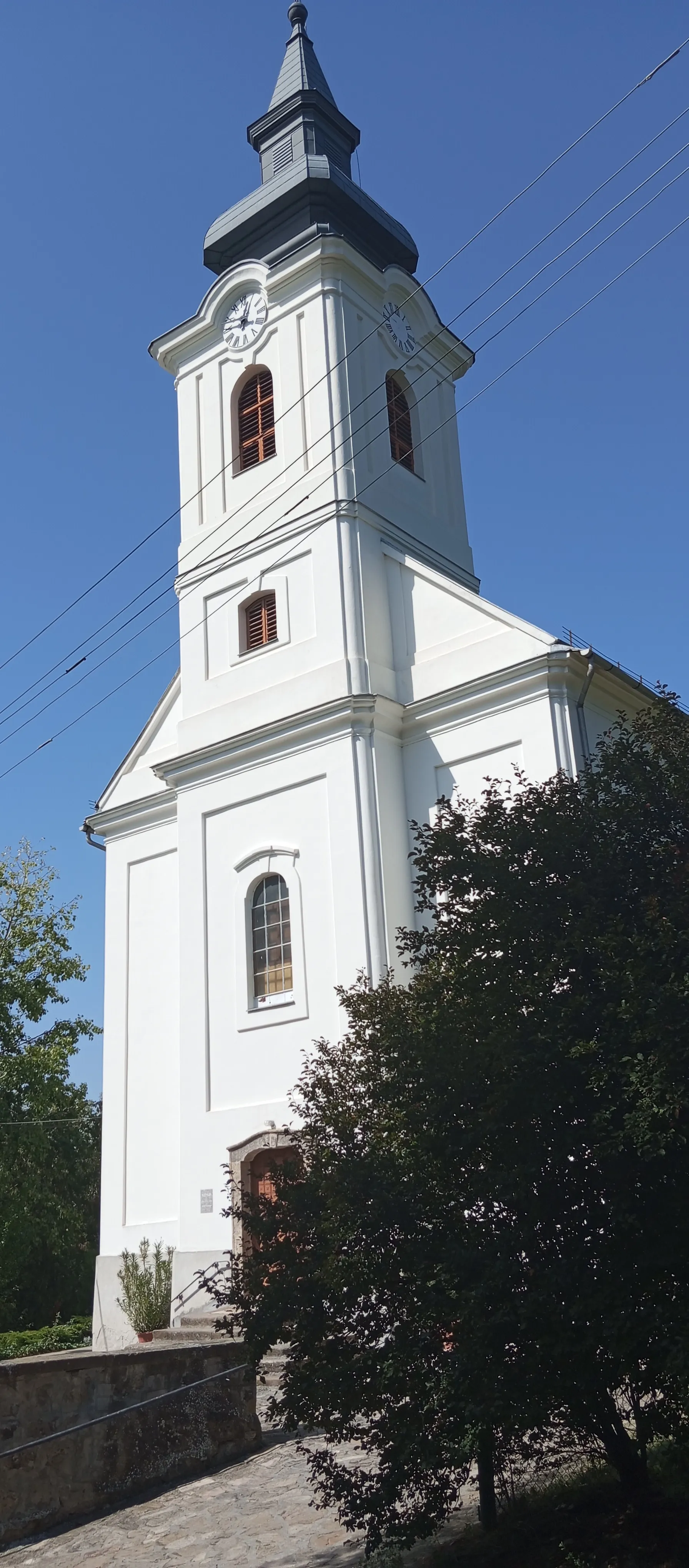
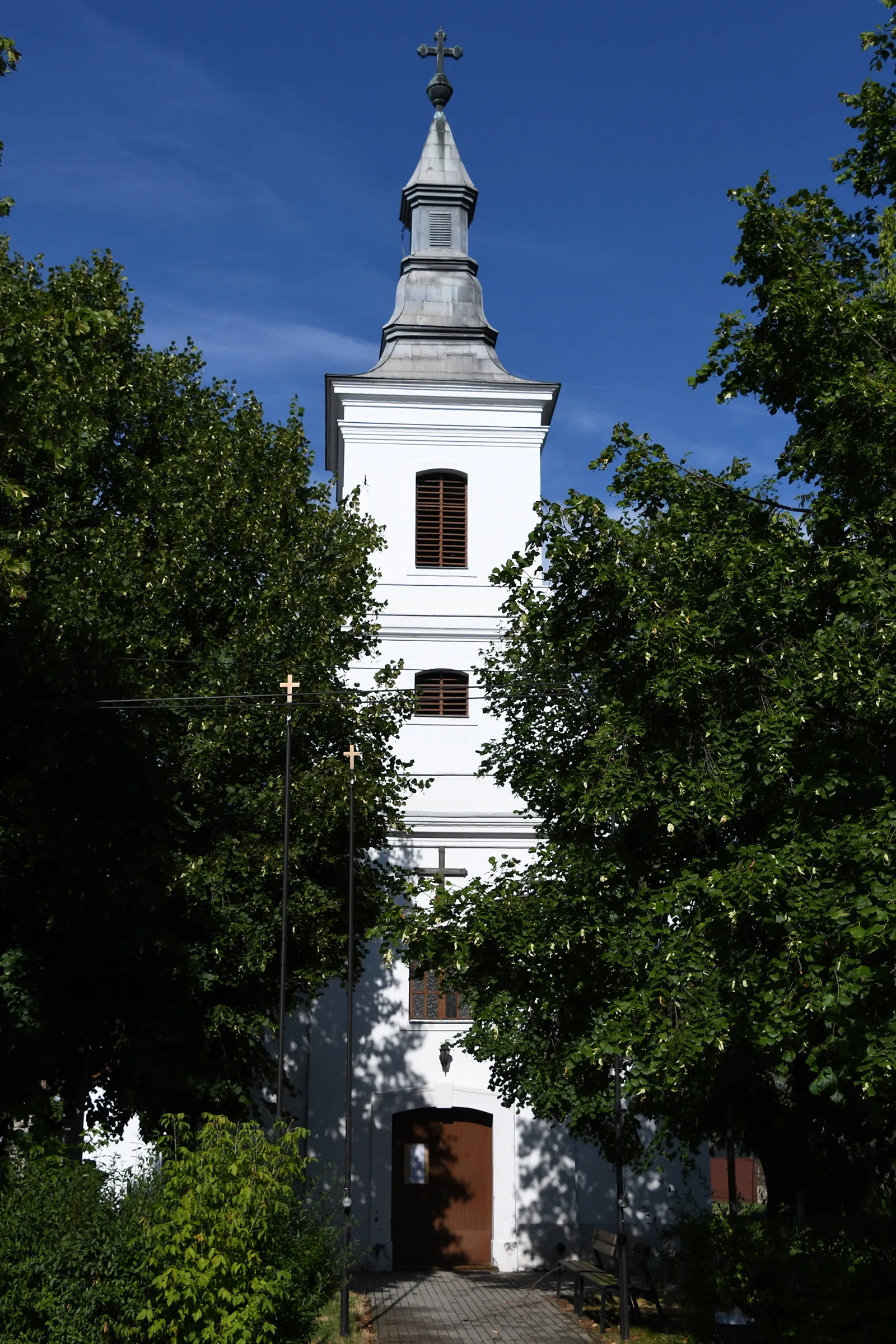
Gyöngyöspata is a locality located in Észak-Magyarország, Hungary. It offers a peaceful setting for road and gravel cyclists to embrace the tranquility of the Hungarian countryside. Cyclists can enjoy rides through charming villages, gentle rolling hills, and picturesque fields. While Gyöngyöspata doesn't have any famous cycling spots or well-known climbs nearby, it provides a relaxing and scenic environment to escape the hustle and bustle of everyday life. With its serene beauty and cyclist-friendly atmosphere, Gyöngyöspata is an appealing choice for cyclists looking for a tranquil cycling getaway.
Challenging winding road through scenic countryside
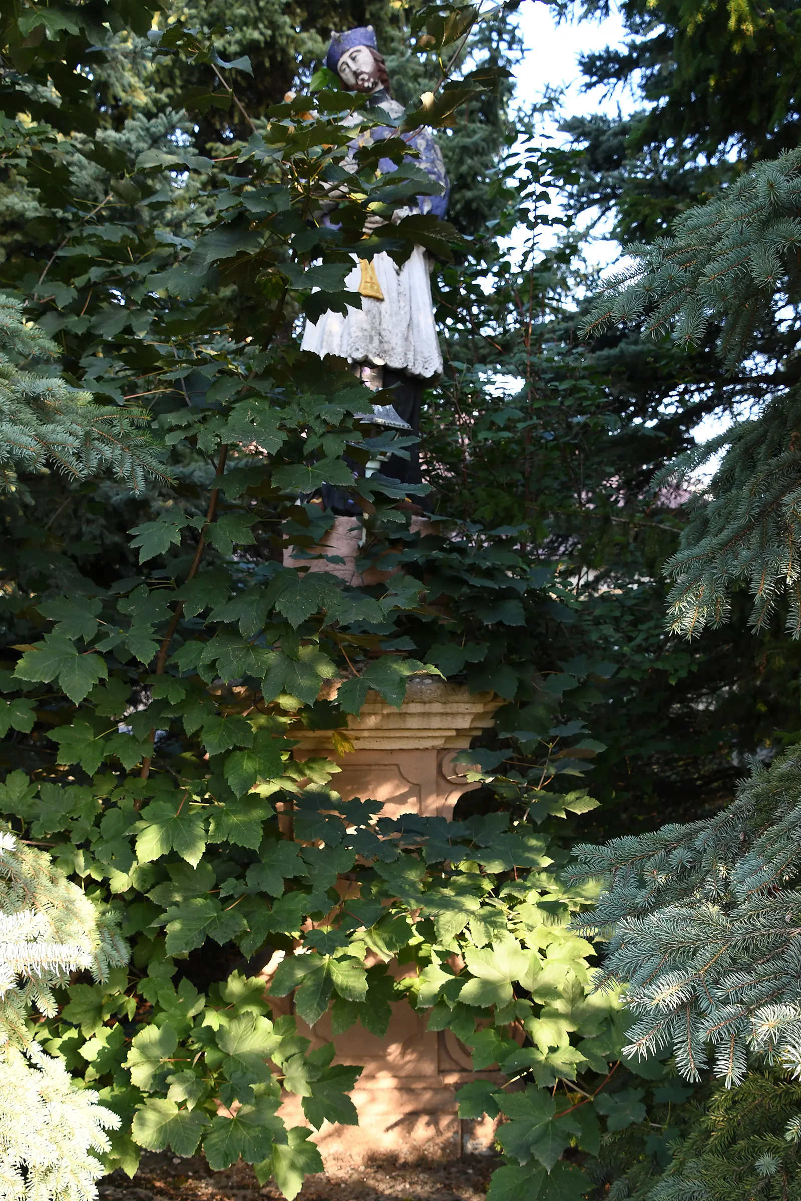
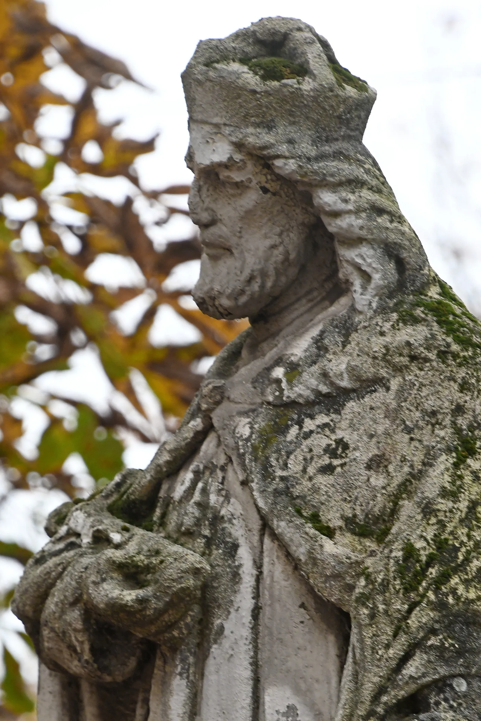
This route takes you through the picturesque countryside near Gyöngyöspata, with plenty of challenging climbs and winding roads. The highlight of the route is the Észak-Kálváriapart, a scenic overlook offering breathtaking views of the surrounding landscape. Other highlights include the Kozmáry lookout tower, which boasts panoramic views of the region, and the Kisnánai castle ruins, a fascinating historical site. Overall, this route is perfect for experienced cyclists looking for a challenging ride combined with stunning natural scenery.
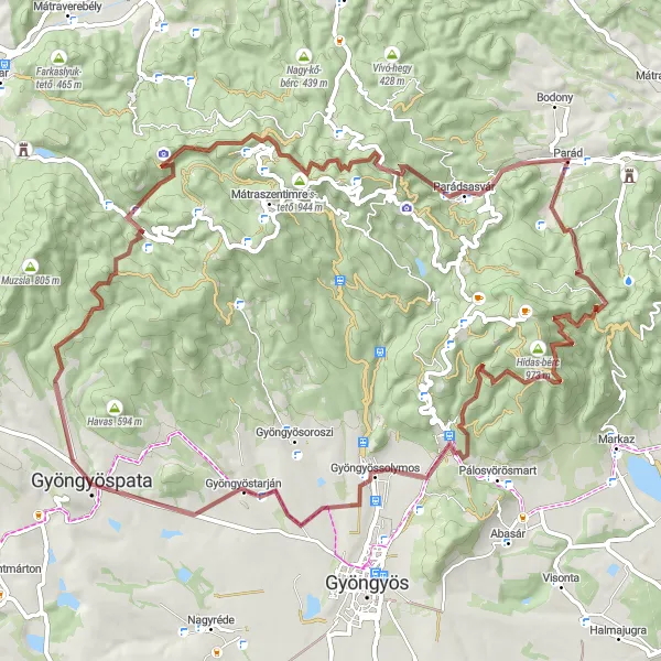
Ride through the beauty of nature and amateur stargazing
This epic gravel route takes you through the stunning Ágasvár region, where you can enjoy the serenity of nature and pursue your passion for amateur stargazing. The route passes through Mátrakeresztes, which is home to an amateur stargazers' observation spot offering clear views of the night sky. As you continue your journey, don't miss the opportunity to visit the Ágasvár, famous for its panoramic landscapes and believed UFO sightings. The route also takes you to Parád, featuring picturesque landscapes and outdoor recreational activities. This is a perfect route for gravel enthusiasts who enjoy exploring unique natural attractions and pursuing their amateur stargazing hobby.
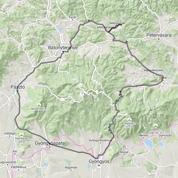
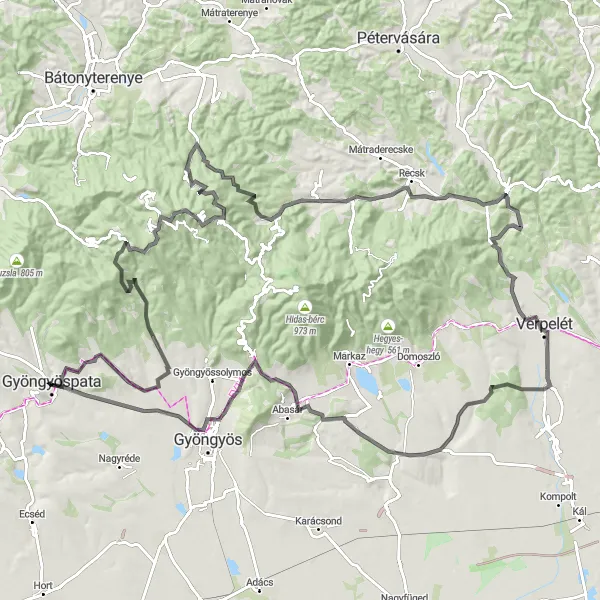
An epic journey through Mátra with stunning views
Get ready for a challenging road route that takes you through the majestic Mátra Mountains. Highlights of the route include the Kis-hegy, offering stunning panoramic views of the surrounding countryside, and the historic village of Mátraterenye with its charming architecture. As you ride through the beautiful surroundings, don't miss the opportunity to visit the Valéria-hegy, known for its breathtaking scenery, and the Parád, featuring picturesque landscapes. This route is perfect for experienced cyclists looking for an epic journey through stunning natural landscapes.
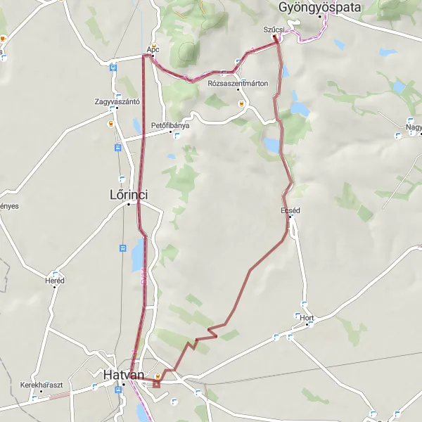
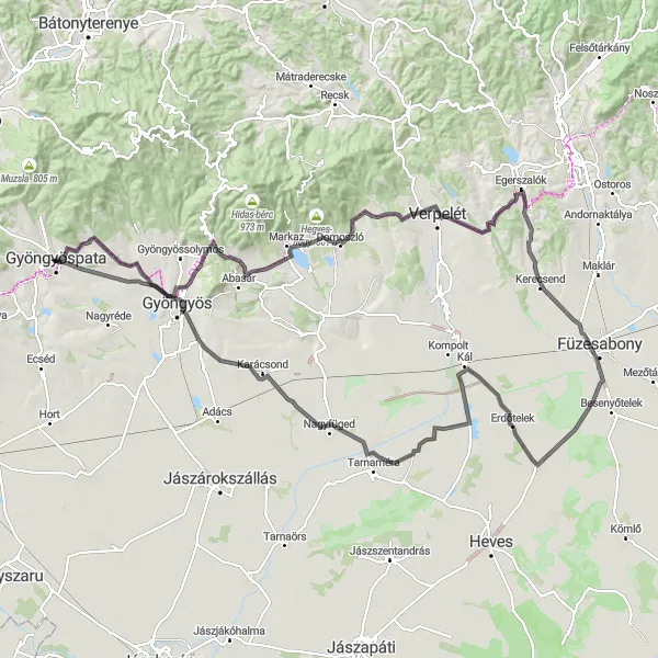
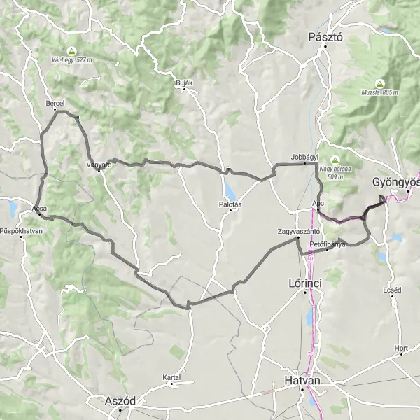
Explore the scenic countryside as you cycle through Ecséd and Hatvan.
This gravel cycling route takes you through the picturesque countryside of Gyöngyöspata. Starting near Gyöngyöspata, the route will lead you to Ecséd, a small village known for its traditional architecture and charming atmosphere. From there, you will continue to Hatvan, a larger town with a rich history and many historical landmarks. The route is relatively easy, with a moderate ascent of 265 meters over a distance of 44 kilometers. The highlights along the route include Ecséd and Hatvan, where you can explore local attractions, try traditional Hungarian cuisine, and enjoy the beautiful scenery.
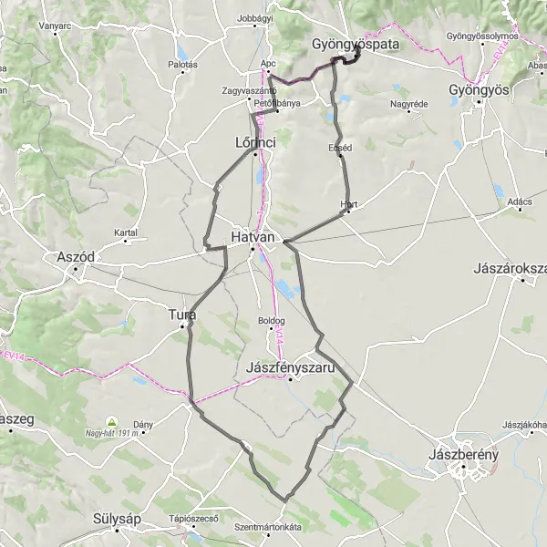
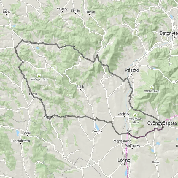
Embark on a scenic road cycling journey to Kecske-kő and Ecséd.
This road cycling route is perfect for cyclists who want to explore the scenic beauty of Gyöngyöspata. Starting near Gyöngyöspata, the route will take you to Kecske-kő, a stunning hill offering breathtaking views of the surrounding countryside. From there, you will continue to Ecséd, a small village known for its traditional architecture and tranquil atmosphere. The route includes a total of 520 meters of ascent over a distance of 108 kilometers. Highlights along the route include picturesque landscapes, historical landmarks, and opportunities to experience Hungarian culture and cuisine.
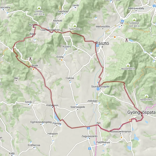
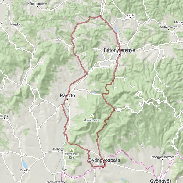
Embark on an adventurous gravel cycling journey to Szűcsi and Kopasz-hegy.
This gravel cycling route is perfect for adventurous cyclists who want to explore the natural beauty of Gyöngyöspata. Starting near Gyöngyöspata, the route will take you to Szűcsi, a small village known for its tranquil atmosphere and scenic surroundings. From there, you will continue to Kopasz-hegy, a hill offering breathtaking views of the countryside. The route is relatively challenging, with a total ascent of 1224 meters over a distance of 75 kilometers. Highlights along the route include picturesque villages, stunning landscapes, and opportunities for wildlife spotting.
Discover the stunning landscape of Észak-Magyarország region on this road biking route
This road cycling route starting near Gyöngyöspata takes you through some of the most picturesque spots in Észak-Magyarország. With a total distance of 130 km and an ascent of 1646 meters, it offers a challenging yet rewarding experience for well-trained amateurs. Along the way, you will encounter highlights such as Mulató Hegy, Galya-tető, Csomoszvár, Parád, Feldebrő, Észak-Kálváriapart. These spots boast breathtaking views and unique cultural landmarks, making them worth a stop. Overall, this route provides a perfect blend of physical exertion and scenic beauty.
Embark on a thrilling gravel biking adventure in Észak-Magyarország region
This gravel cycling route starting near Gyöngyöspata offers a thrilling adventure through the diverse terrain of Észak-Magyarország. With a total distance of 82 km and an ascent of 1120 meters, it presents a moderate challenge for well-trained amateurs. Along the way, you will encounter highlights such as Kis-hegy, Zagyvaszentjakab, Sámsonháza, Mérges, Kisterenye, Csalános, Mátrakeresztes, Kecske-kő, and Szűcsi. These spots offer a mix of natural beauty and cultural heritage, showcasing the region's rich history and picturesque landscapes. Don't miss the opportunity to explore these hidden gems.
Experience the beauty of Gyöngyöspata and its surrounding areas on this road biking route
This road cycling route starting near Gyöngyöspata showcases the beauty of the region with a total distance of 90 km and an ascent of 933 meters. Explore highlights such as Szűcsi, Nagykökényes, Acsa, Kisbágyon, Jobbágyi, and Kopasz-hegy. These destinations offer a mix of natural landscapes and cultural attractions, allowing you to immerse yourself in the local culture and discover hidden treasures along the way. The route provides a moderate challenge for well-trained amateurs and promises a rewarding cycling experience. Don't miss the opportunity to explore Gyöngyöspata and its surroundings on two wheels.
Embark on a challenging road cycling journey to Kecske-kő and Szűcsi.
This road cycling route offers a challenging and rewarding experience for cyclists looking to explore Gyöngyöspata. Starting near Gyöngyöspata, the route will take you to Kecske-kő, a scenic hill offering panoramic views of the surrounding landscape. From there, you will continue to Szűcsi, a charming village known for its traditional architecture and tranquil atmosphere. The route includes a total of 1273 meters of ascent over a distance of 104 kilometers. Highlights along the route include picturesque villages, historical landmarks, and opportunities for wildlife spotting.
Cycling routes nearby:


Nearby regions: