A cycling destination offering diverse terrain and a well-known thermal spa.
Cycling routes from Ajka
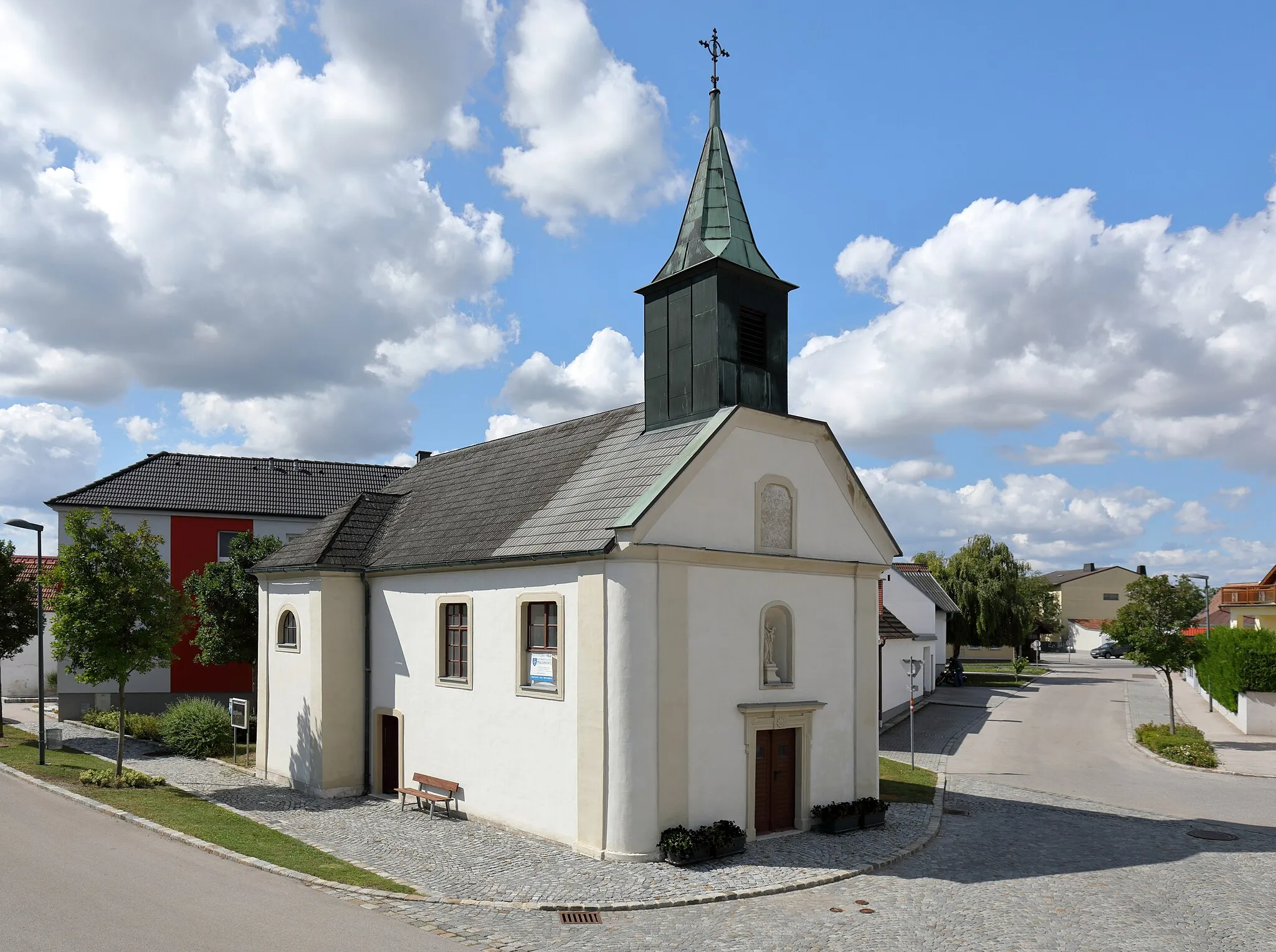
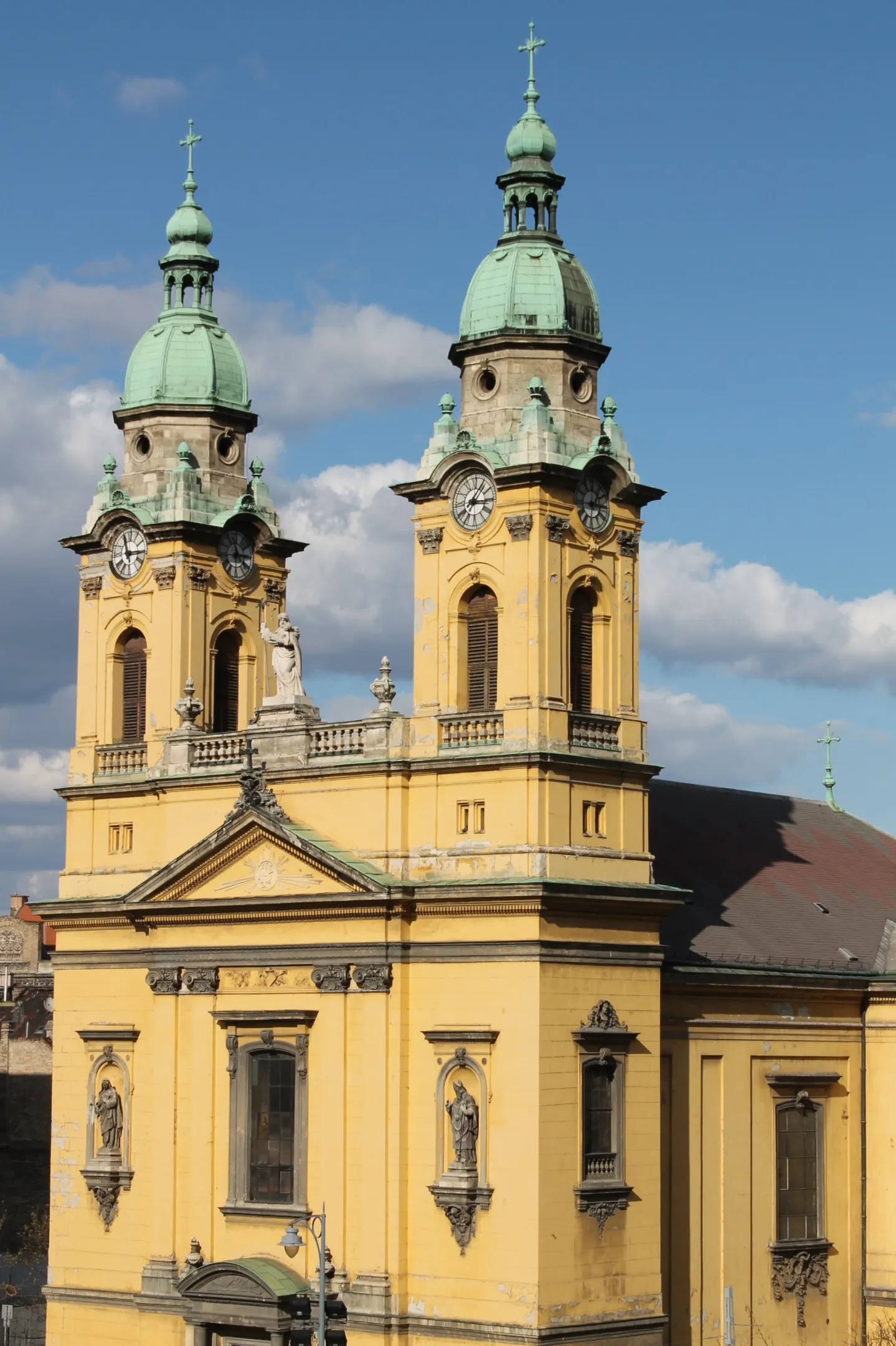
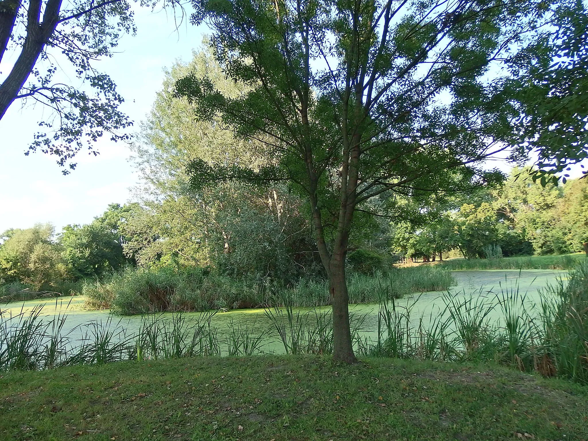
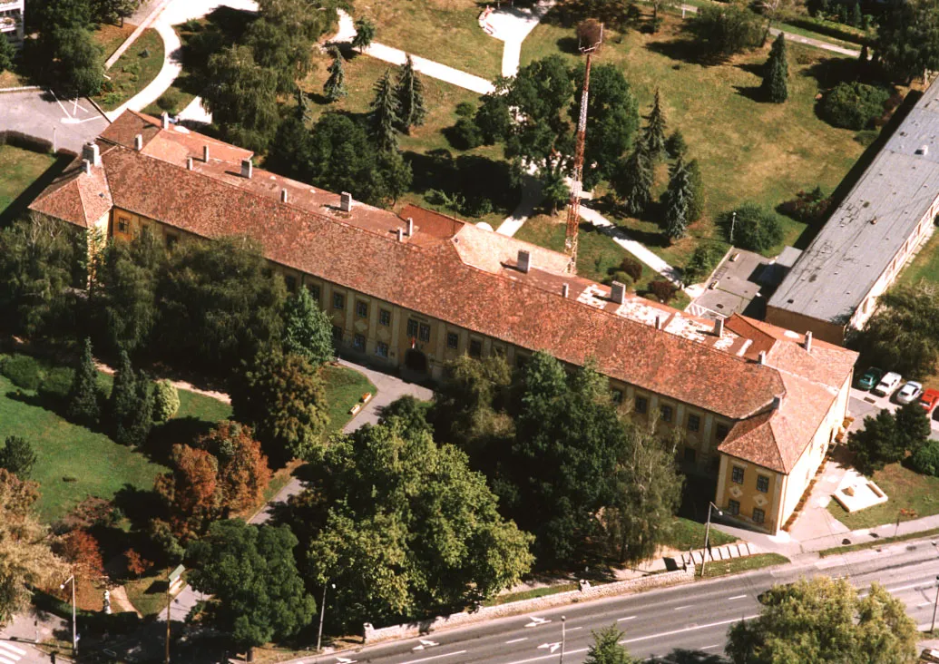
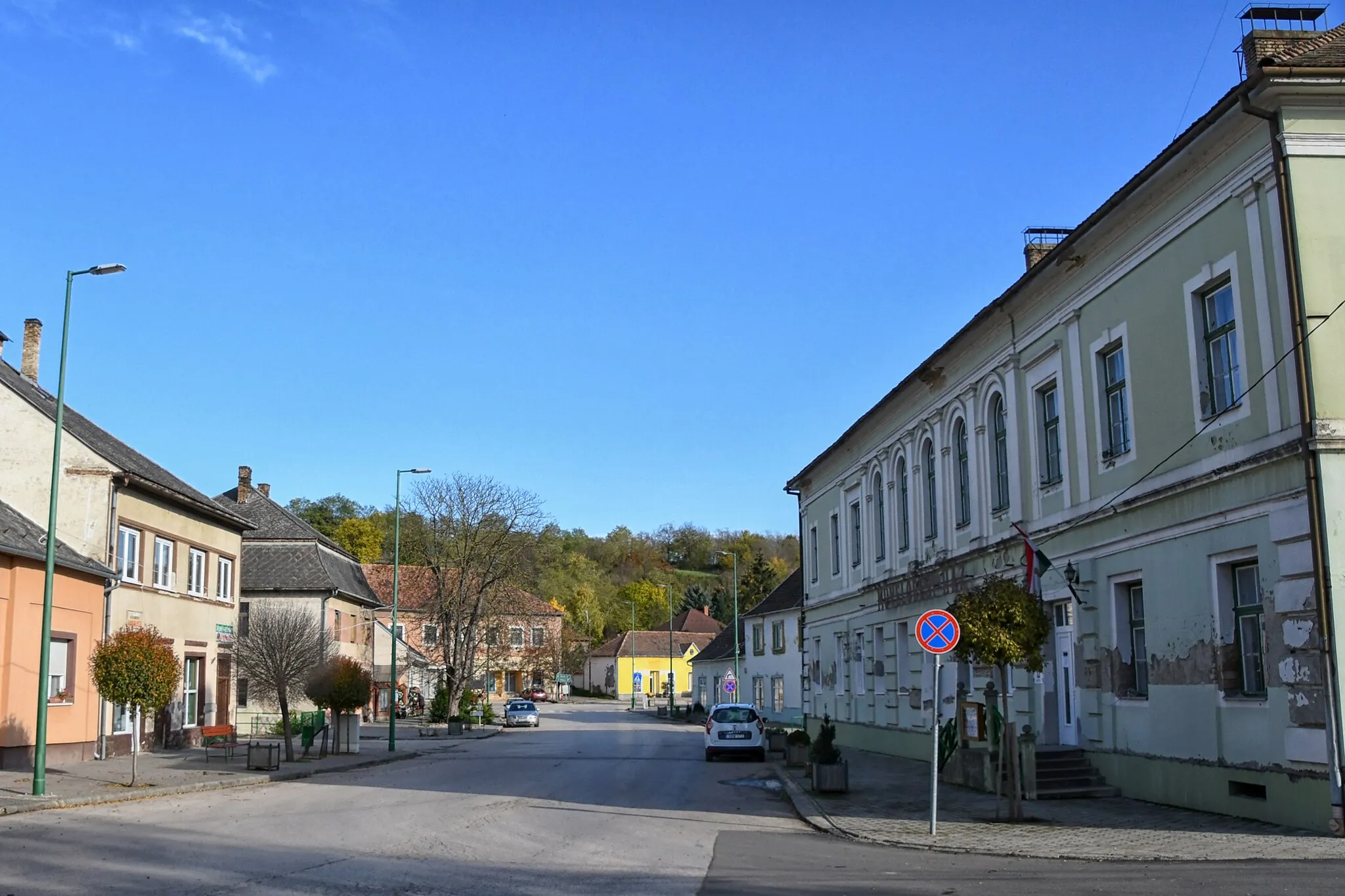
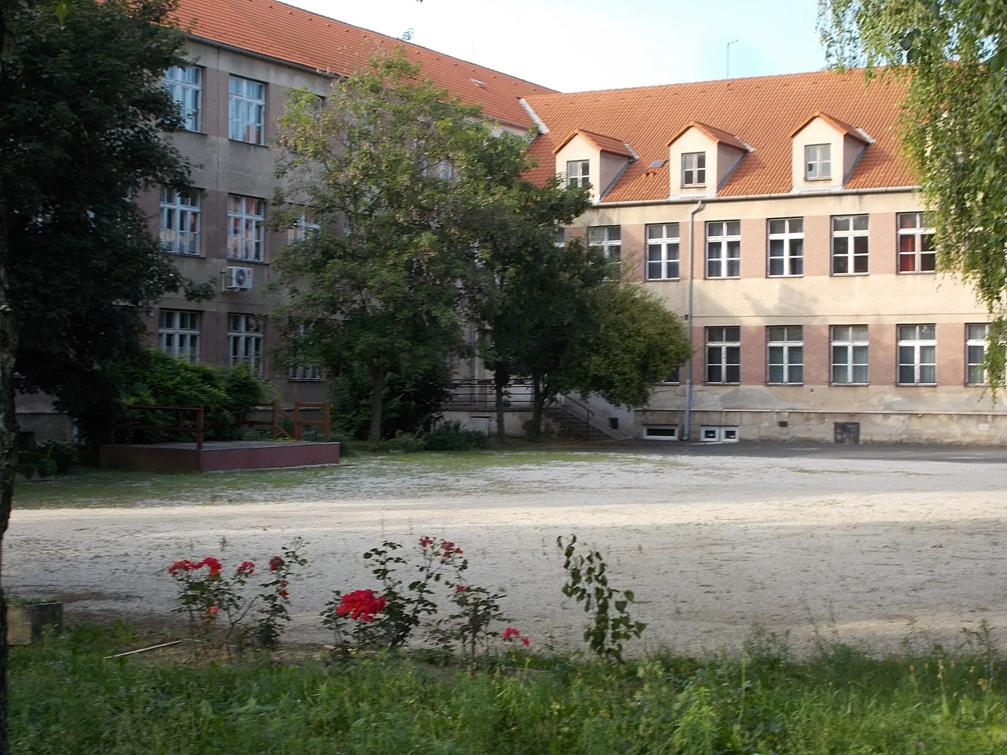
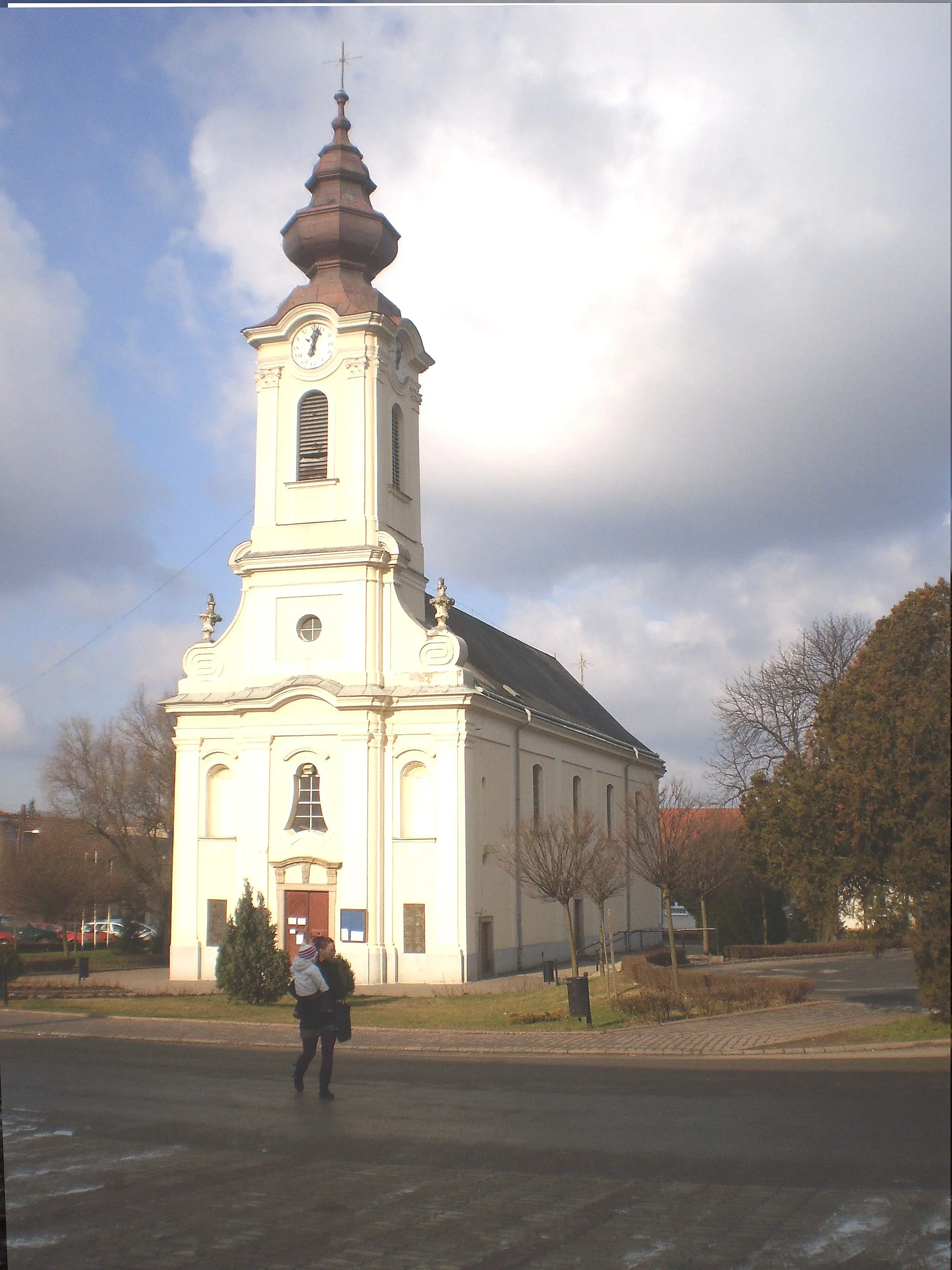
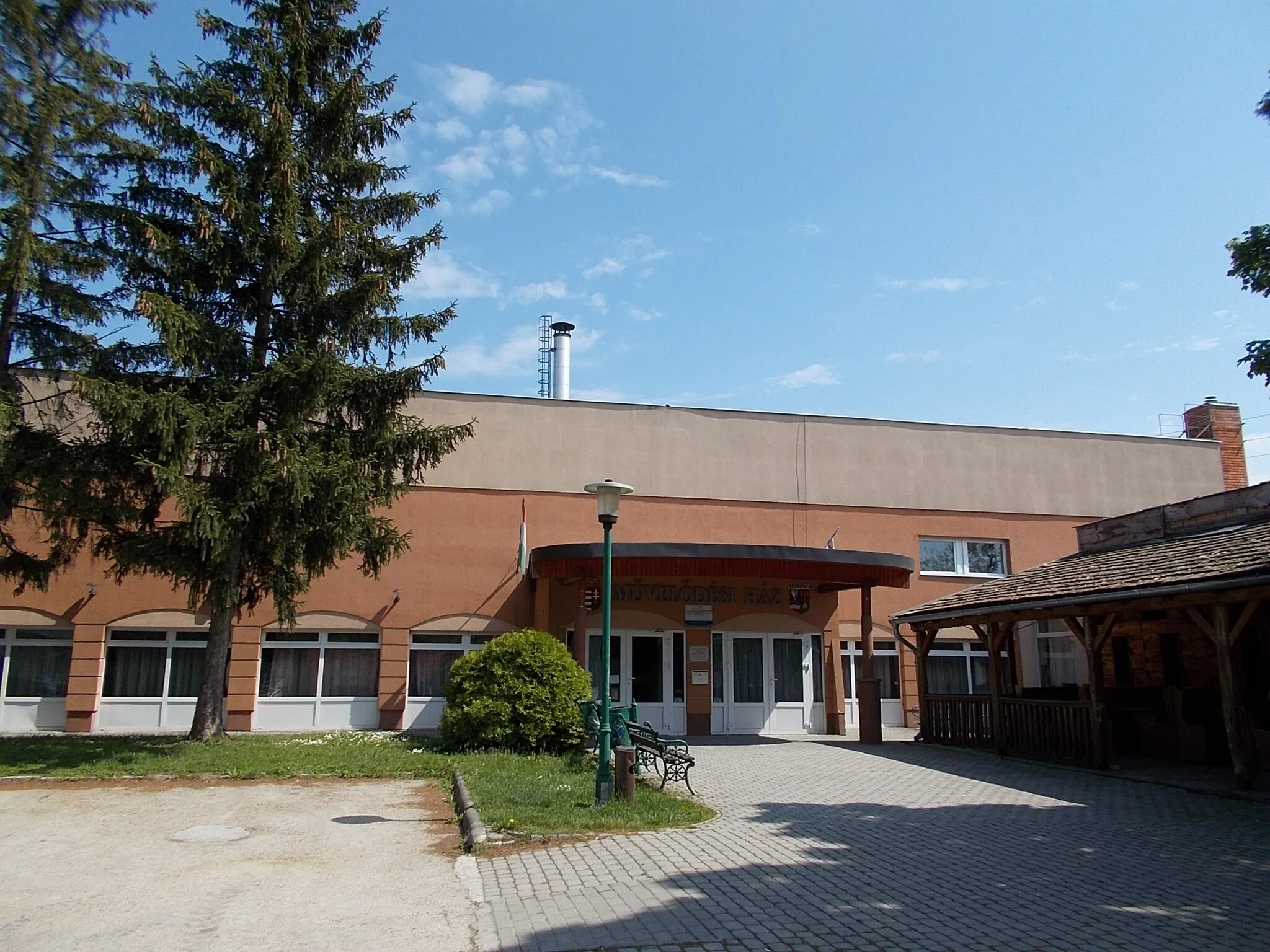
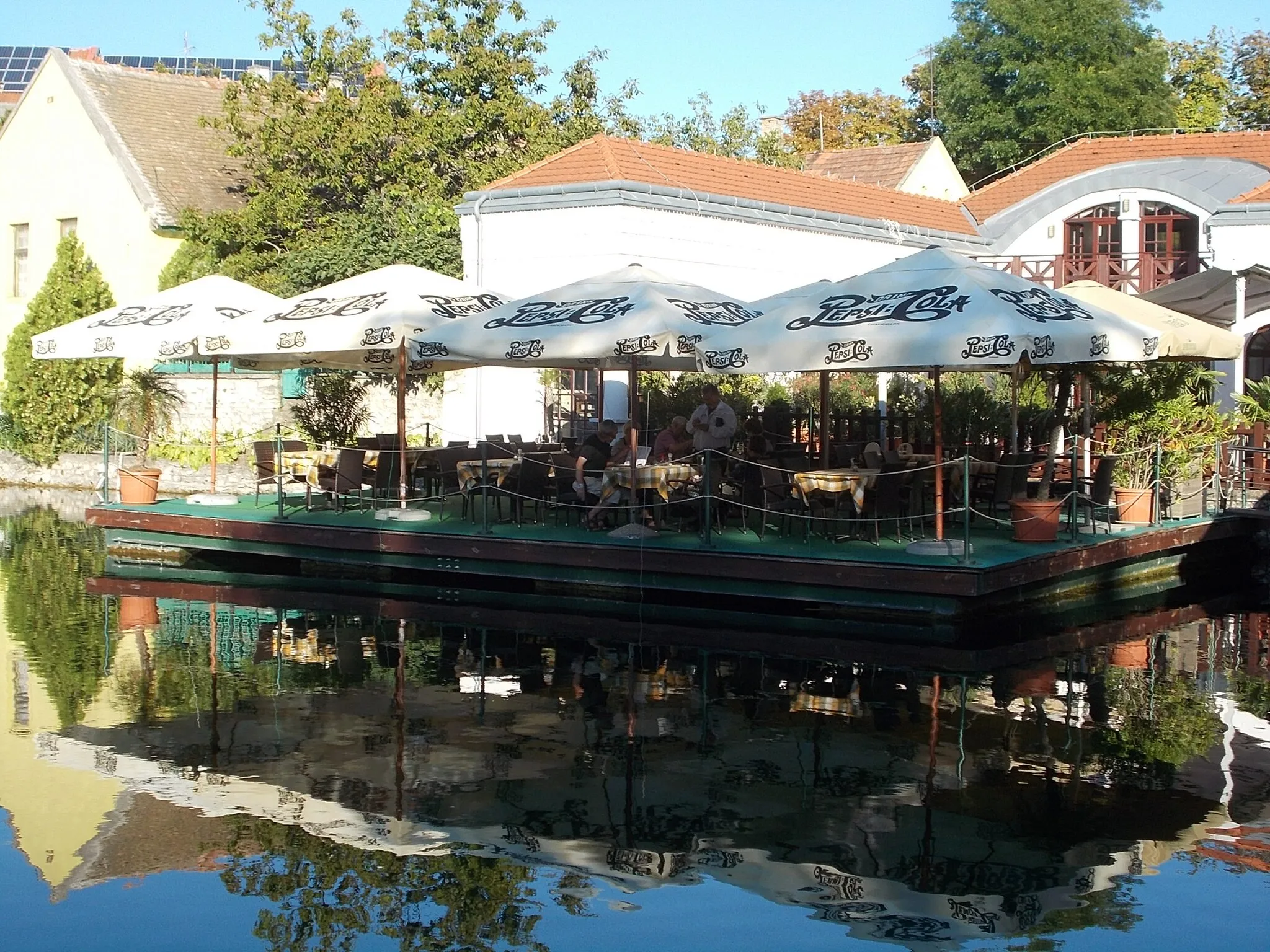
Ajka in Közép-Dunántúl, Hungary offers a unique cycling experience with its diverse terrain and scenic landscapes. Road cyclists can enjoy smooth roads that provide access to surrounding towns and natural attractions. Gravel cyclists, on the other hand, will find satisfaction in exploring the rolling hills and off-road trails around Ajka. The locality is also famous for its thermal spa, which provides relaxation and rejuvenation for cyclists after a day of riding. Ajka offers a range of accommodations and cycling-related amenities, making it an ideal base for both road and gravel cyclists.
Embark on a gravel adventure exploring the wild beauty of Közép-Dunántúl
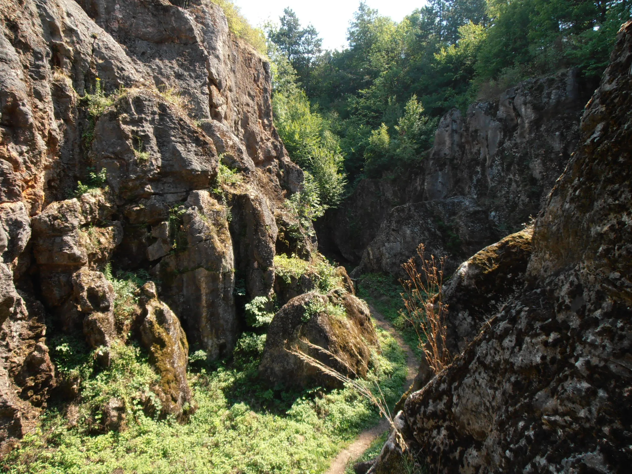
This challenging gravel route takes you on a journey of discovery through the untamed landscapes of Közép-Dunántúl. With a total ascent of 860m and a distance of 72km, this is an epic adventure for experienced cyclists. Prepare to be amazed by the rugged beauty of Ihar-tő, Ördög-rock, and Kövesgyűrpuszta.
The Bakony Mountains Challenge
Conquer the rolling hills and stunning vistas of the Bakony Mountains in this challenging road cycling route.
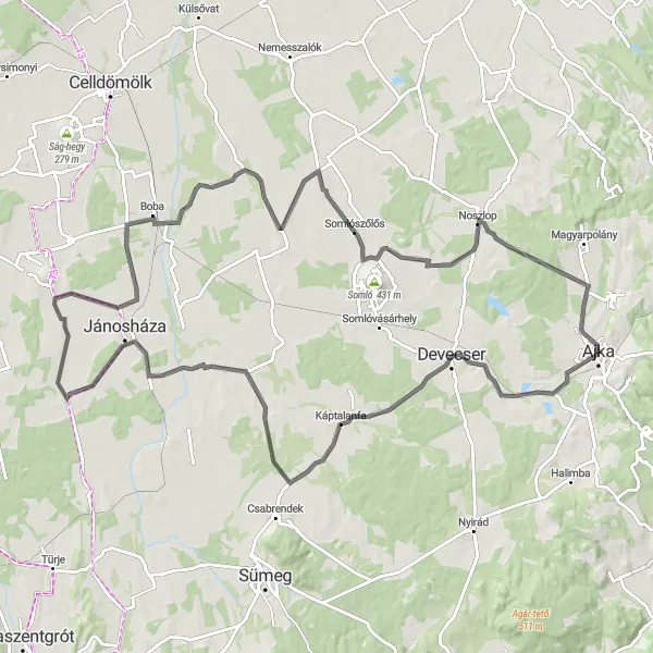
This 127 km road cycling route in the Bakony Mountains offers a challenging and scenic ride. With a total ascent of 1170 meters, cyclists will be rewarded with breathtaking views of the surrounding area. The route passes through Nagygyimót, Bakonyszentiván, Éles-hegy, Kőris-hegy, Hárskút, Bánd, Tűzkő-hegy, and finally Ajka. The highlights of the route include Nagygyimót with its historic buildings, Bakonyszentiván with its small but charming center, and Éles-hegy with its panoramic viewpoint. This route is recommended for experienced cyclists looking for a challenging adventure in the beautiful Bakony Mountains.
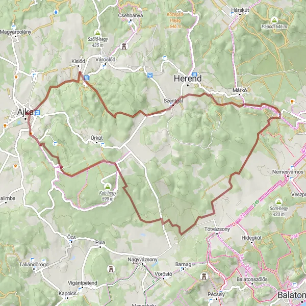
Embark on a challenging gravel adventure from Ajka
This gravel cycling route starting in Ajka is perfect for adventure enthusiasts. With a total ascent of 715m and a distance of 57km, it offers a thrilling experience for experienced cyclists. Get ready to conquer steep hills and off-road terrains as you explore the rugged beauty of the Közép-Dunántúl region.
Exploring the Zala Valley
Embark on a scenic road cycling journey through the Zala Valley, passing by picturesque villages and rolling hills.
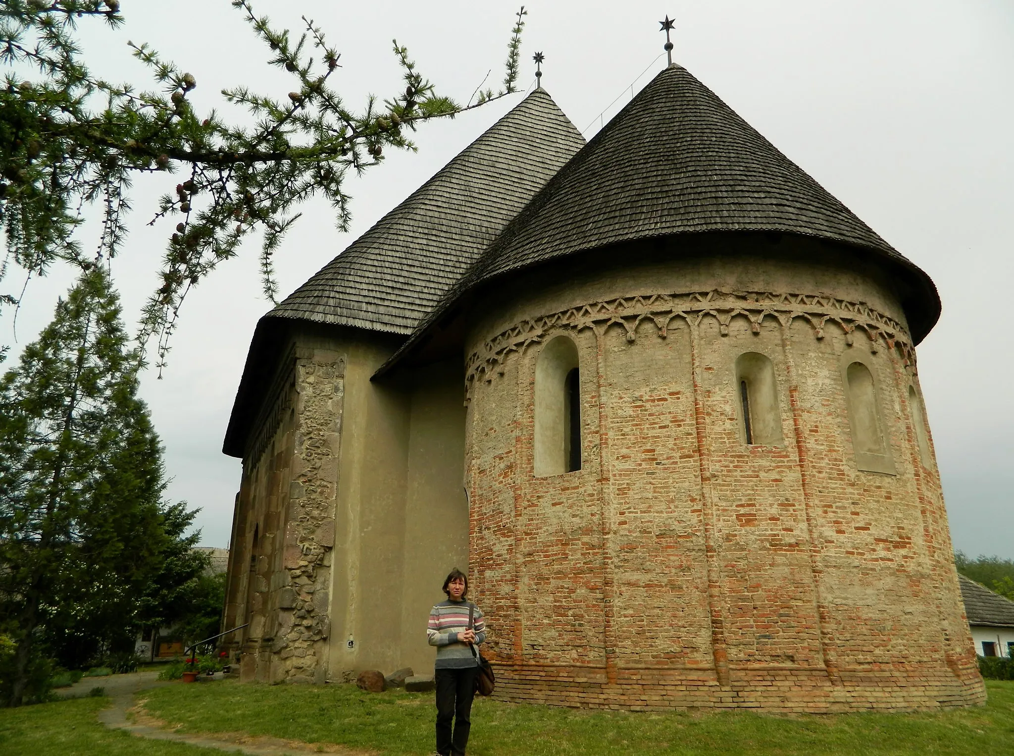
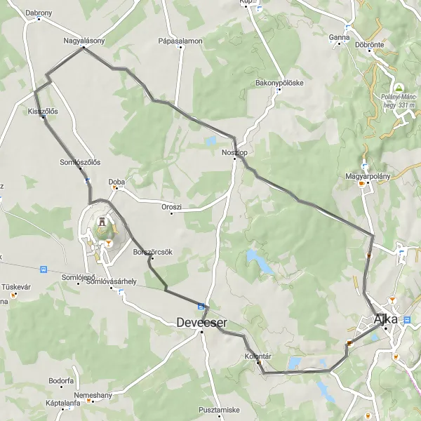
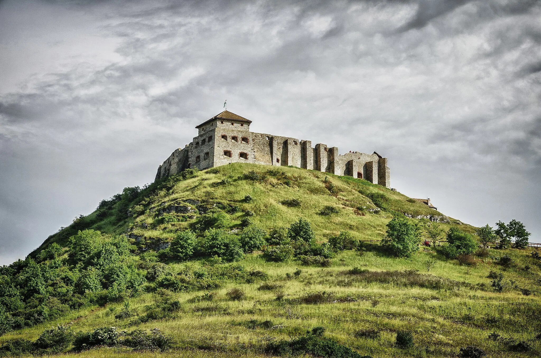
This 115 km road cycling route takes cyclists on a journey through the picturesque Zala Valley. With a total ascent of 334 meters, the route offers a moderate challenge while showcasing the beauty of the surrounding area. The highlights of the route include Kolontár with its traditional houses and charming atmosphere, Gyepükaján with its historic church, Zalaszegvár with its medieval fortress ruins, Duka with its scenic vineyards, Kisszőlős with its beautiful landscapes, and finally Ajka with its vibrant city center. This route is recommended for intermediate cyclists looking to explore the scenic countryside of Hungary.
Experience the scenic road from Ajka to Kolontár
This road cycling route takes you from Ajka to Kolontár, passing through beautiful landscapes and offering amazing views. With a total ascent of 196m and a distance of 55km, this route is suitable for very well-trained amateurs. Enjoy the smooth road and the tranquility of the surroundings.
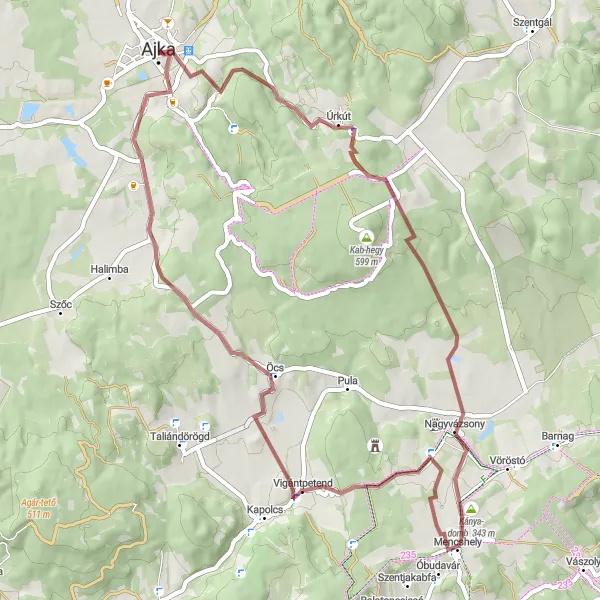
Ajka - Szent György-hegy Loop
A hilly gravel route through the beautiful countryside surrounding Ajka
This 79 km gravel route takes you through the scenic landscapes near Ajka, Hungary. The route includes challenging hilly sections and offers stunning views from several highpoints, including Tűzkő-hegy and Szent György-hegy. It is a great option for experienced cyclists looking for a challenging off-road adventure.
Scenic Gravel Ride to Tósok
Enjoy a scenic gravel ride to Tósok
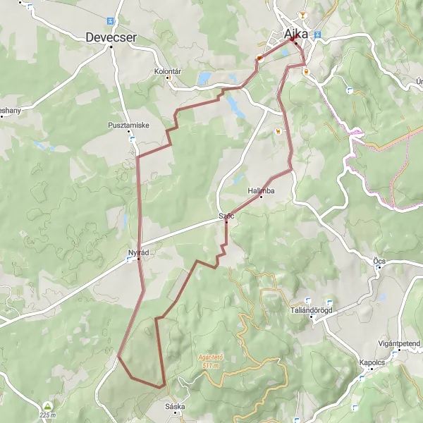
This scenic gravel route takes you on a picturesque journey to Tósok. With a total ascent of 237m and a distance of 49km, it is suitable for intermediate-level cyclists. Experience the beauty of Padragkút, Cseket-hegy, Nyirád, and Tósok as you explore the stunning landscapes of Közép-Dunántúl.
Explore the rugged beauty of the Bakony Mountains on this adventurous gravel cycling route.
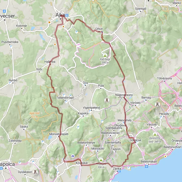
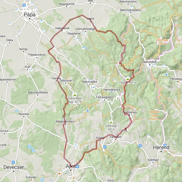
This 74 km gravel cycling route takes cyclists on an adventure through the rugged Bakony Mountains. With a total ascent of 881 meters, the route offers a challenging and exhilarating ride amidst breathtaking natural landscapes. The highlights of the route include Magyarpolány with its traditional architecture and peaceful atmosphere, Kislődi-hegy with its stunning panoramic views, Ugod with its picturesque landscapes, Durrogós-tető with its rocky terrain, Pápavár with its historic fortress ruins, Csehbánya with its charming village center, and finally Ajka with its vibrant city center. This route is recommended for experienced gravel cyclists looking for an adrenaline-packed journey through the Bakony Mountains.
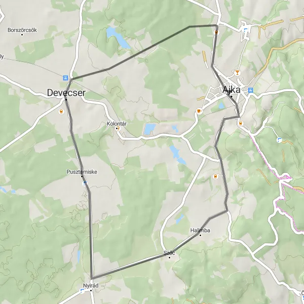
Experience the beauty of the countryside on this short road cycling route to Devecser.
This 42 km road cycling route is perfect for those looking for a shorter ride to explore the area around Ajka. With a total ascent of 133 meters, the route offers a relatively easy and enjoyable ride. The highlights of the route include Padragkút with its beautiful church and peaceful atmosphere, and Devecser with its charming town center. This route is recommended for beginners or those looking for a leisurely ride through the picturesque Hungarian countryside.
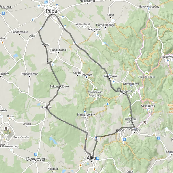
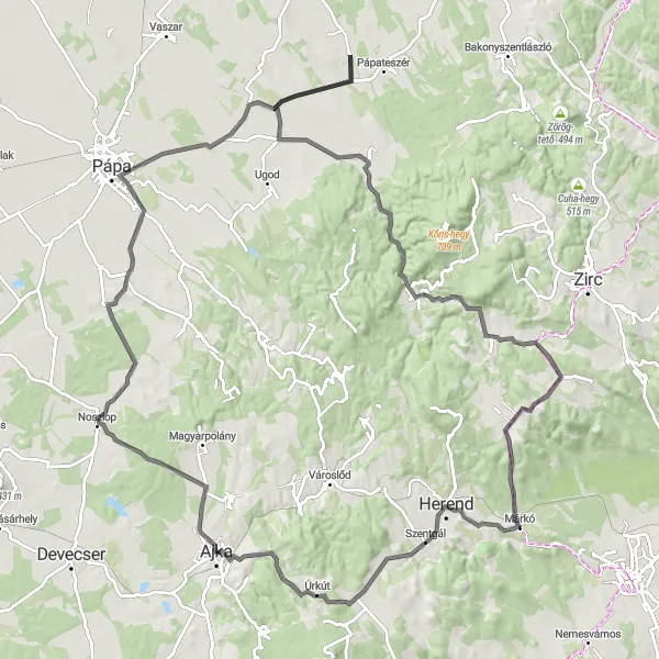
Embark on a scenic road cycling journey to the historic town of Pápa.
This 69 km road cycling route takes cyclists to the historic town of Pápa. With a total ascent of 520 meters, the route offers a moderate to challenging ride, rewarding cyclists with beautiful views along the way. The highlights of the route include Pápa with its stunning baroque architecture and rich cultural heritage, Koplaló with its scenic landscapes, Farkasgyepű with its peaceful atmosphere, and finally Ajka with its vibrant city center. This route is recommended for intermediate cyclists looking to explore the historical and natural beauty of the region.
Cycling routes nearby:

Nearby regions: