Exploring the scenic cycling routes of Kilquade
Cycling routes from Kilquade
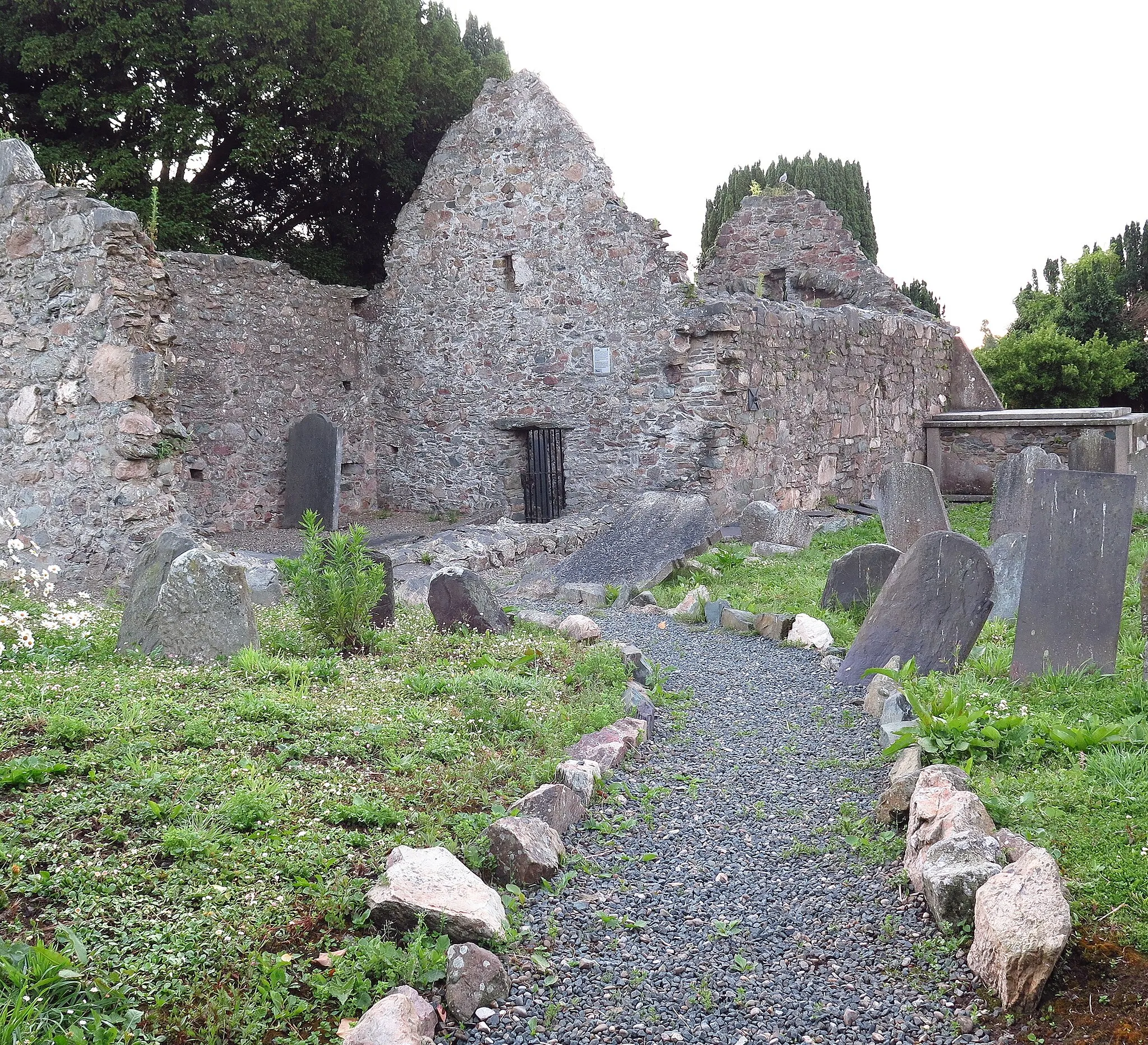
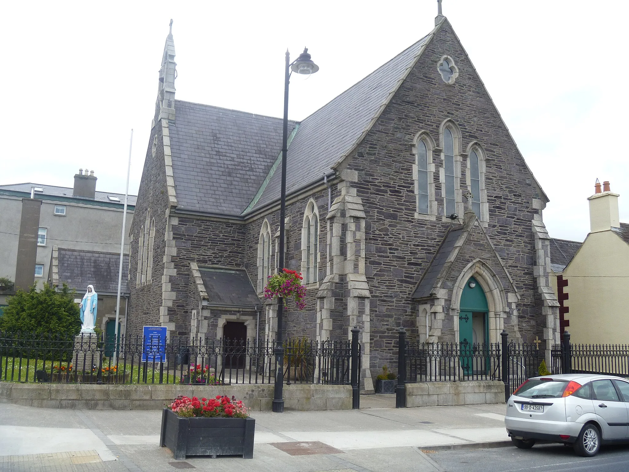
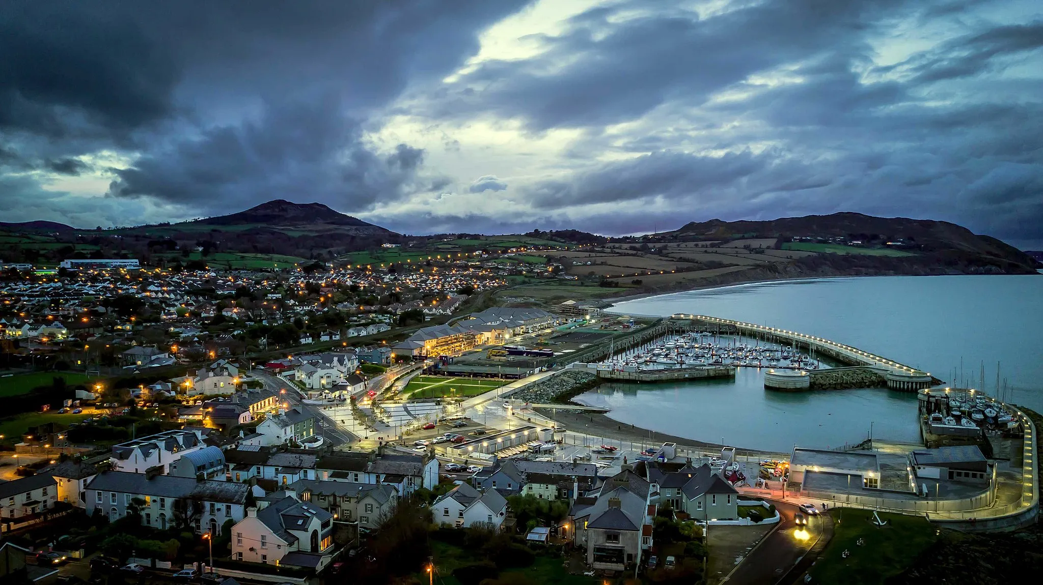
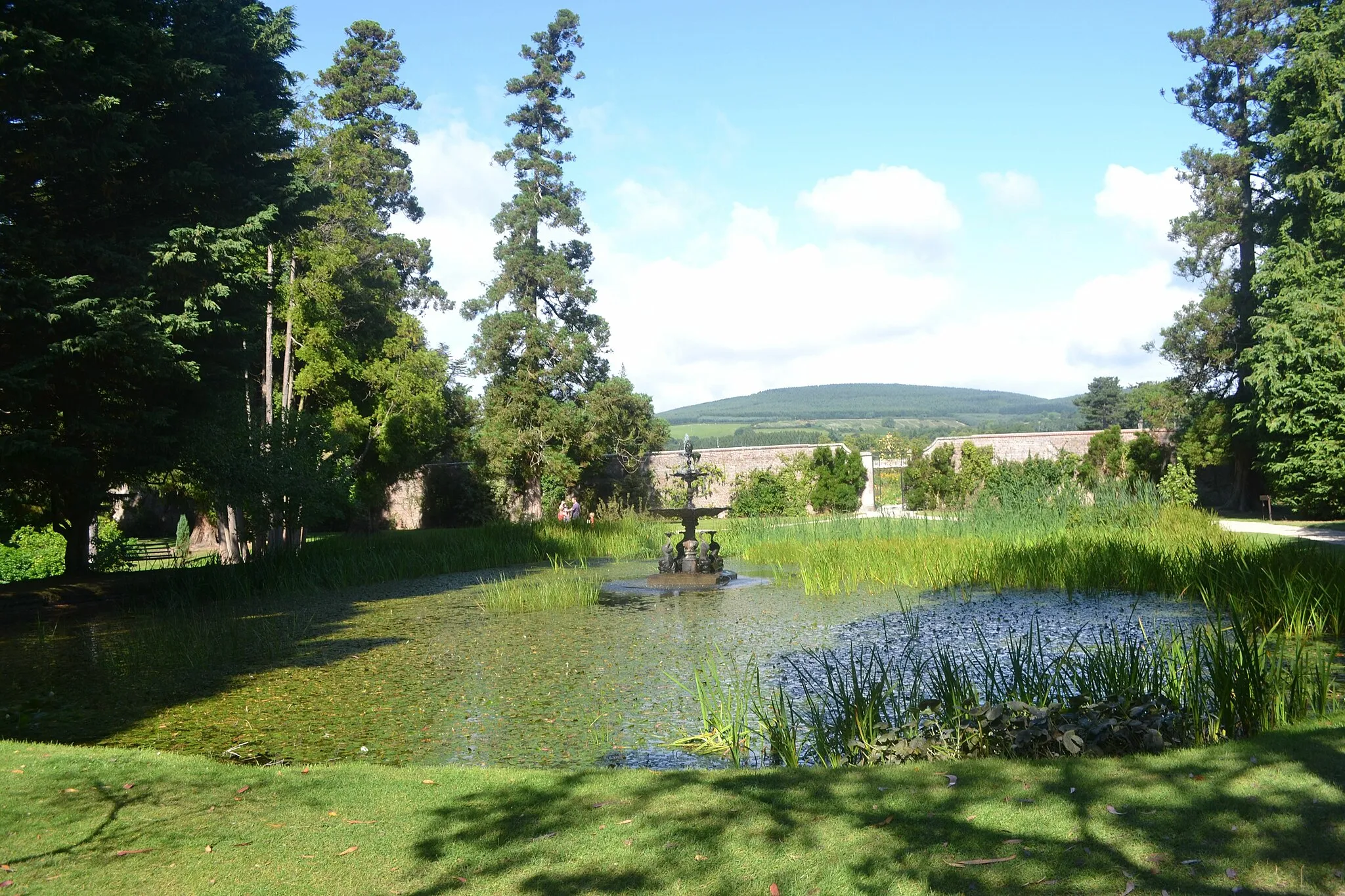
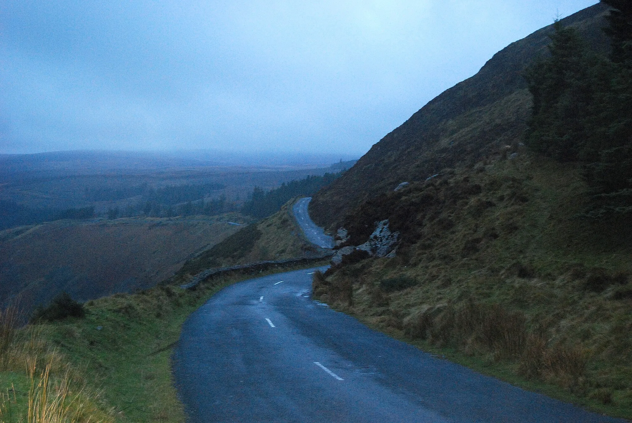
Kilquade is a locality located in the Eastern and Midland region of Ireland. Cyclists will find a variety of routes to choose from, including both road and off-road paths. The region is known for its stunning landscapes, with rolling green hills and charming villages that make for picturesque cycling adventures. While Kilquade doesn't have any famous cycling-related spots or well-known climbs nearby, it offers a peaceful and enjoyable cycling experience in the heart of Ireland.
Enchanting Countryside
Ride through enchanting countryside landscapes
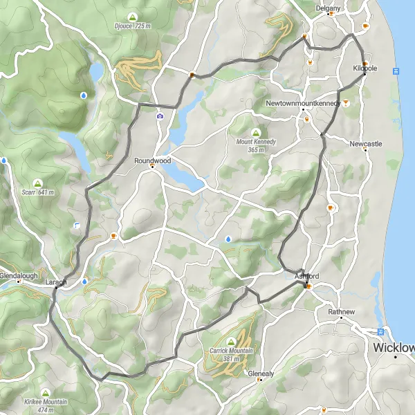
Embark on a journey through enchanting countryside landscapes and experience the tranquility of Eastern Ireland. This route offers moderate difficulty with an ascent of 998 meters over a distance of 61 kilometers. Explore Ashford, Bookey Bridge, Victor's Way, Rock of Kilcoole, and Kilcoole. The route is suitable for road bikes and provides a delightful cycling experience for well-trained amateur riders. With an epicness rating of 3, this route showcases the charm and beauty of rural Ireland.
Mountainous Adventure
Embark on an exhilarating mountainous adventure through the scenic landscapes of County Wicklow.
Get ready to challenge yourself with this mountainous round-trip cycling route near Kilquade. With a total ascent of 2062m and a distance of 124km, it offers an adrenaline-pumping adventure with breathtaking views. The route includes highlights such as Newtown Mount Kennedy, Callowhill, Glenmalure, Fananierin, Ballygobban Bridge, Toorboy Mountain, Slievecorragh, Glendalough Monastic, Laragh, Mount Kennedy, and Rock of Kilcoole. Immerse yourself in the rugged beauty of the Wicklow Mountains, explore historic sites, and test your cycling skills on challenging climbs and thrilling descents.
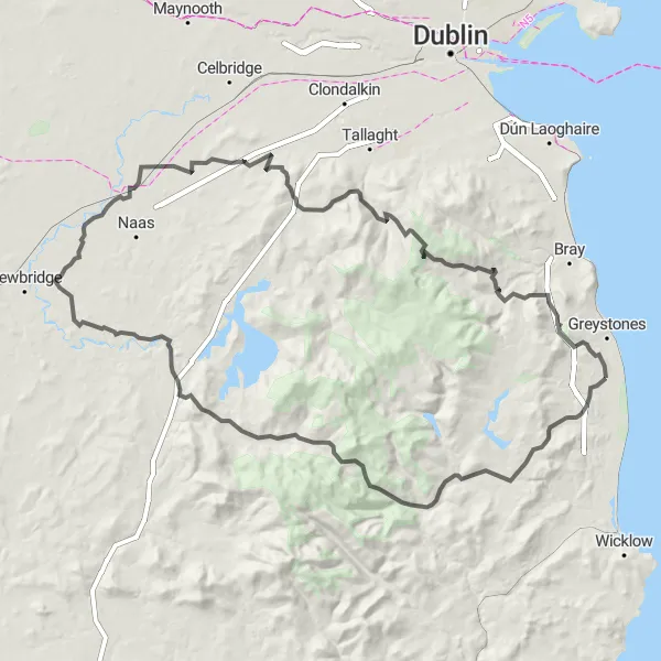
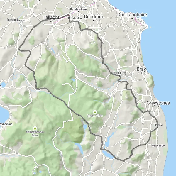
Conquer the challenging Wicklow Hills
Embark on a thrilling adventure through the Wicklow Hills, experiencing the true essence of Irish cycling. This route offers a challenging climb with an ascent of 1,829 meters over a distance of 142 kilometers. Ride through Callowhill, Annagolan Bridge, Laragh, Glendalough Monastic Site, Slievecorragh, Hollywood, Oughterard Round Tower, Brittas, Slievenabawnoge, Glencree German War Cemetery, Knockree, Rock of Kilcoole, and Kilcoole. The trail is ideal for road bikes and is suitable for well-trained amateur cyclists. With an epicness rating of 4, this route guarantees a memorable and legendary cycling experience.
Scenic Countryside Ride
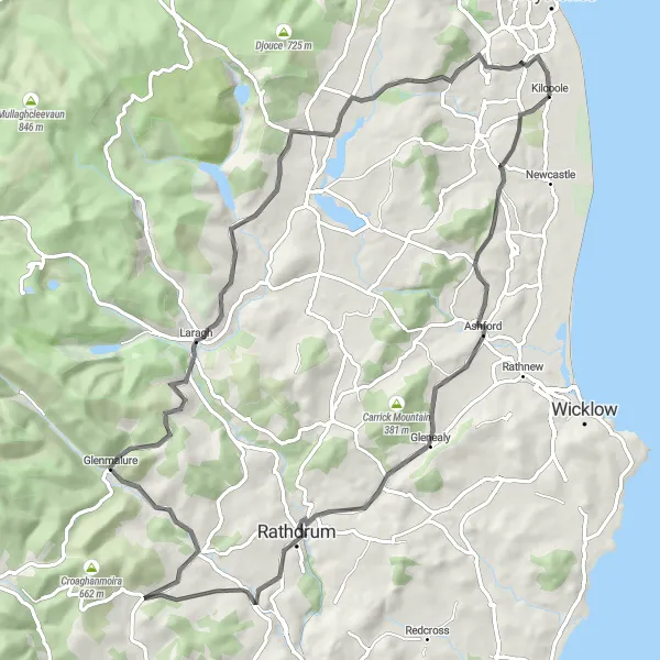
Immerse yourself in the scenic countryside
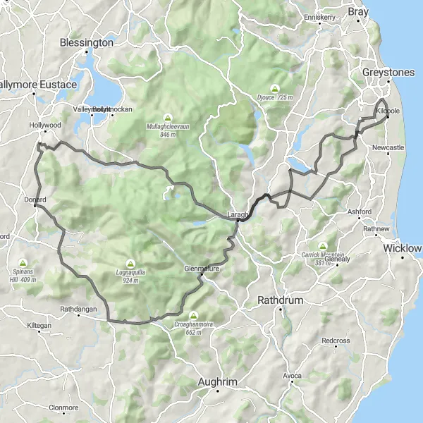
Embrace the allure of Ireland's scenic countryside as you embark on a captivating cycling journey. This route offers moderate difficulty with an ascent of 1,302 meters over a distance of 81 kilometers. Explore Ashford, Ballinaclash, Caran, Glenmalure, Laragh, and Kilquade. Suitable for road bikes, this route provides a splendid opportunity to immerse yourself in the idyllic landscapes of Eastern Ireland. With an epicness rating of 3, this route promises a memorable ride through picturesque countryside.
Embark on a thrilling cycling adventure through the challenging climbs and stunning landscapes of the Wicklow Mountains.
Get ready to push your limits with this challenging round-trip cycling route near Kilquade. With an ascent of 2633m and a distance of 140km, it offers a true mountainous challenge for experienced cyclists. The route includes highlights such as Callowhill, Annagolan Bridge, Moneystown Hill, Glenmalure, Aghavannagh, Toorboy Mountain, Slievecorragh, Sorrel Hill, Spot 538, Glencree German War Cemetery, Little Sugar Loaf, and Kilcoole. Immerse yourself in the rugged beauty of the Wicklow Mountains while conquering demanding climbs and enjoying breathtaking views.
Coastal Delights
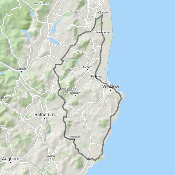
Experience the breathtaking coastal scenery of County Wicklow on this exhilarating cycling adventure.
This round-trip cycling route near Kilquade takes you on a thrilling journey along the stunning coastline of County Wicklow. With an ascent of 699m and a distance of 76km, it offers a challenging yet rewarding experience. The route includes highlights such as Kilcoole, Rathnew, Redcross, Annagolan Bridge, and Callowhill. Immerse yourself in the beauty of the Irish coast while enjoying the fresh salty breeze and stunning ocean views. Don't miss the opportunity to spot various wildlife species along the way, including seabirds and seals.
Discover the stunning coastline of Eastern Ireland
Embark on a coastal adventure and enjoy picturesque views of the Irish Sea. This route offers a challenging ride with a total ascent of 1,470 meters over a distance of 93 kilometers. Experience the beauty of nature as you pass through Callowhill, Victor's Way, Brittas, Verschoyle's Hill, Glencullen, Rock of Kilcoole, and Kilcoole. The route is suitable for road bikes and is perfect for well-trained amateur cyclists. With an epicness rating of 4, this route provides memorable experiences and showcases the diverse landscapes of Eastern Ireland.
The Wicklow Passes
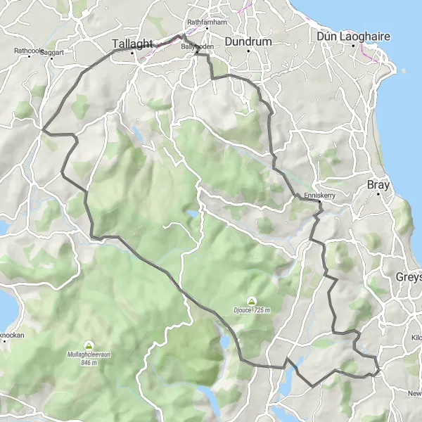
Experience the challenging Wicklow Mountains with stunning views and thrilling descents.
Located in the heart of County Wicklow, this round-trip cycling route starts near Kilquade and takes you through some of the most picturesque landscapes in Ireland. With a total ascent of 1538m and a distance of 85km, it offers a challenging but rewarding journey. The route includes highlights such as Newtown Mount Kennedy, Mount Kennedy, Victor's Way, Robber's Pass Hill, Brittas, Ballyboden, and Enniskerry. Don't miss the opportunity to immerse yourself in the scenic beauty of the Wicklow Mountains while testing your cycling skills.
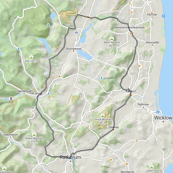
Discover the natural beauty and cultural heritage of County Wicklow on this scenic cycling route near Kilquade.
Experience the best of County Wicklow on this round-trip cycling route with an ascent of 932m and a distance of 61km. The route includes highlights such as Newtown Mount Kennedy, Ashford, Rathdrum, Laragh, and Victor's Way. Immerse yourself in the county's stunning landscapes, historic villages, and serene countryside. Don't miss the opportunity to visit local attractions, enjoy traditional Irish hospitality, and taste delicious local cuisine along the way.
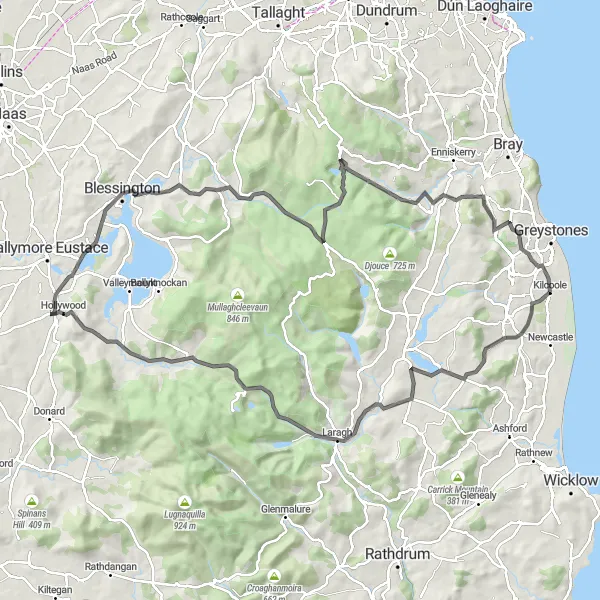
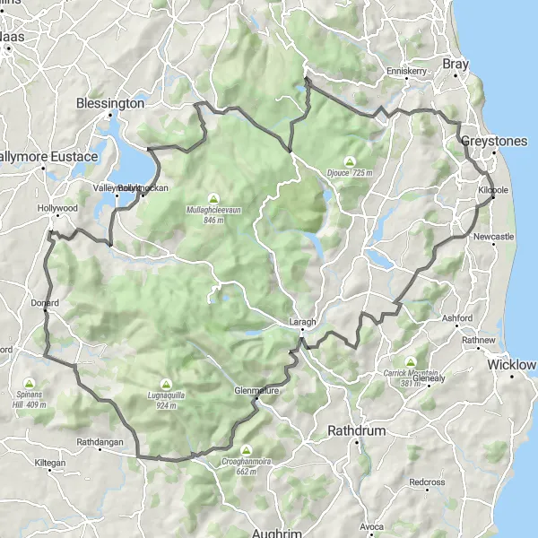
Explore the stunning Wicklow Mountains
Embark on an adventure through the stunning Wicklow Mountains, renowned for their natural beauty and diverse landscapes. This route offers a challenging ride with an ascent of 1,597 meters over a distance of 110 kilometers. Discover Callowhill, Ballinacorbeg, Annamoe, Brockagh Mountain, Slievecorragh, Hollywood, Blessington, Woodend Hill, Spot 538, Glencree German War Cemetery, Rock of Kilcoole, and Kilcoole. The trail is suitable for road bikes and is perfect for well-trained amateur cyclists seeking a memorable experience. With an epicness rating of 4, this route promises breathtaking views and a true cycling adventure in the Wicklow Mountains.
Cycling routes nearby:


Nearby regions: