Scenic Countryside with a Climbing Challenge
Cycling routes from Mulhurddart
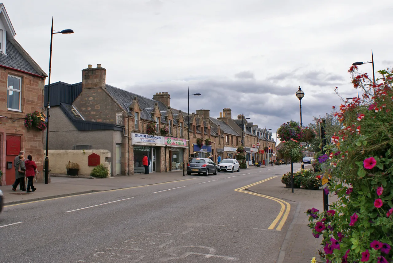
Mulhurddart is a locality located in the Eastern and Midland region of Ireland. From a cyclist's perspective, it offers a mix of leisurely cycling routes and challenging hilly terrain. The area is surrounded by picturesque countryside and is home to the Phoenix Park, a large urban park where cyclists can enjoy scenic paths and car-free roads. If you're looking to test your climbing skills, the nearby Glencullen Village offers iconic climbs such as the infamous 'The Wall.' Mulhurddart provides a diverse range of cycling options and is an ideal location for both casual riders and avid climbers.
Explore the outskirts of Dublin on this road cycling route with fascinating highlights.
The County Dublin Ride is a scenic road cycling route that starts near Mulhurddart, Eastern and Midland, Ireland. With an ascent of 538 meters and covering a distance of 99 kilometers, this route offers a challenging and rewarding experience for well-trained amateurs. The route takes you through the outskirts of Dublin, allowing you to explore the vibrant city's surroundings.
Experience the historic areas of Santry and Drumcondra on this scenic gravel route
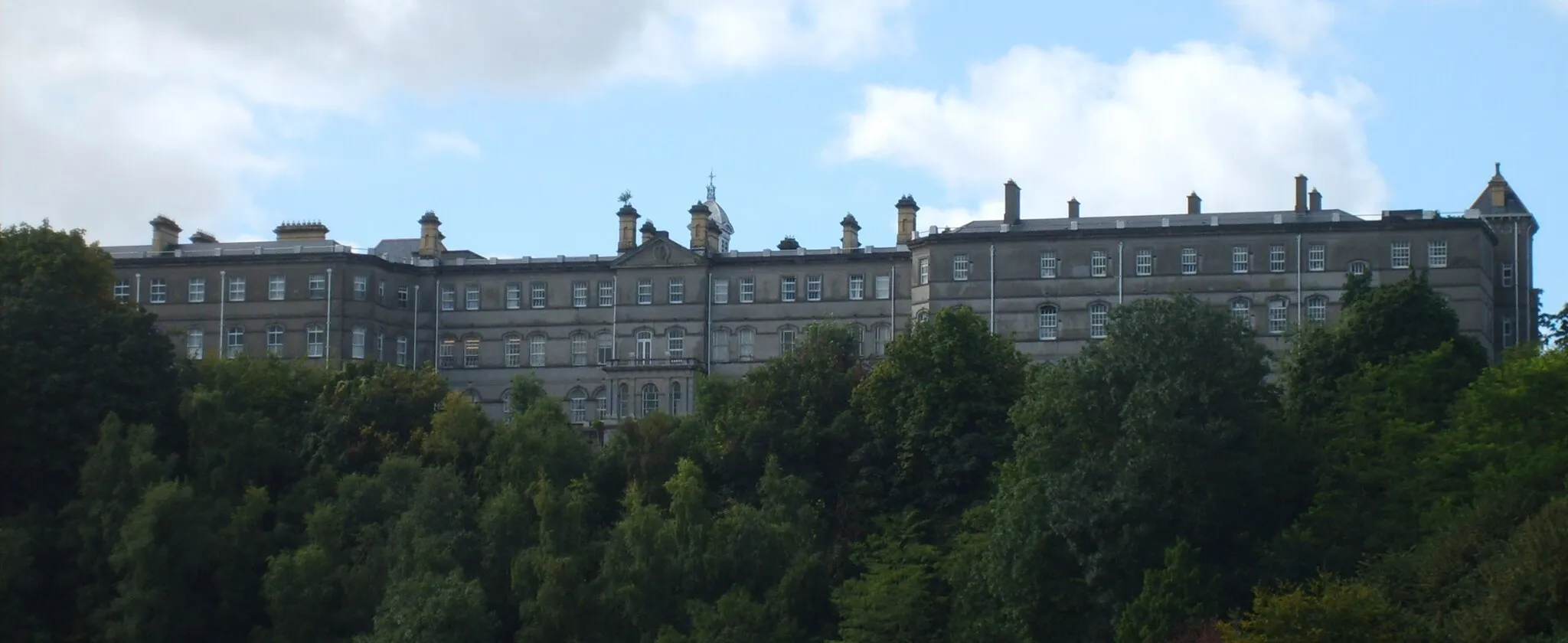
This picturesque gravel route takes you through the charming neighborhoods of Santry and Drumcondra. Along the way, you'll enjoy stunning views of the city skyline from Ericsson Skyline and pass by the beautiful Castleknock area. With a moderate level of difficulty and a distance of 43 kilometers, this route is perfect for experienced gravel cyclists looking to explore the eastern and midland regions of Ireland.
Follow the scenic route along the historic Royal Canal and discover charming towns and natural beauty near Mulhurddart.
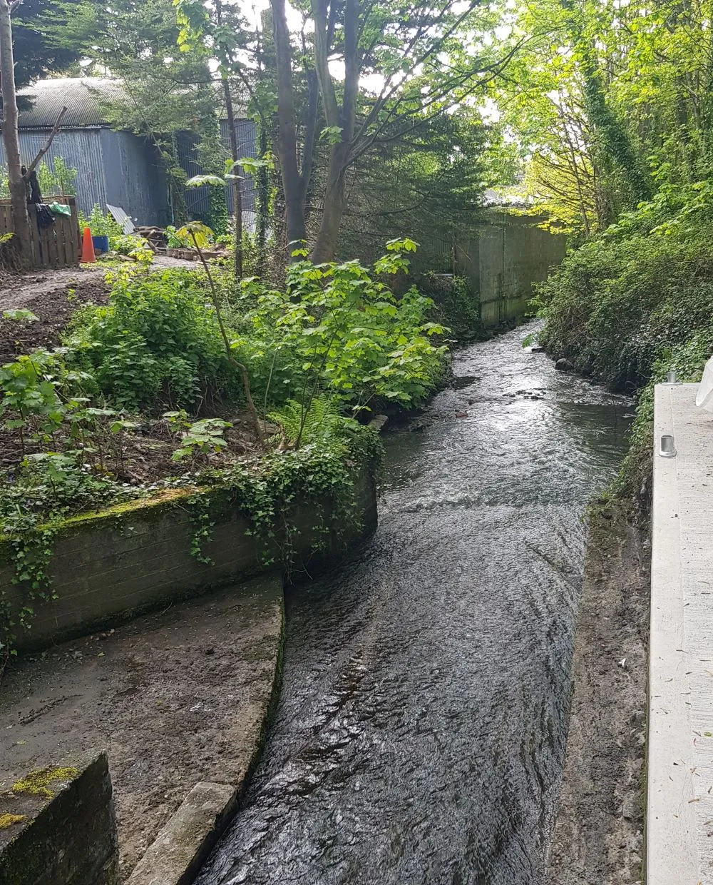
The Royal Canal Ride is a delightful round-trip cycling route that takes you along the picturesque Royal Canal near Mulhurddart. With a total ascent of 201 meters and a distance of 61 kilometers, this route is suitable for cyclists of all levels. Starting in Leixlip, you'll cycle through beautiful landscapes, pass by the historic town of Kilcock, and eventually reach Clonee. Enjoy the tranquility of the canal, marvel at the beauty of nature, and explore the charming towns along the way. Highlights of this route include the picturesque Leixlip Spa Grotto, the historic Kilcock Church, and the scenic beauty of Clonee.
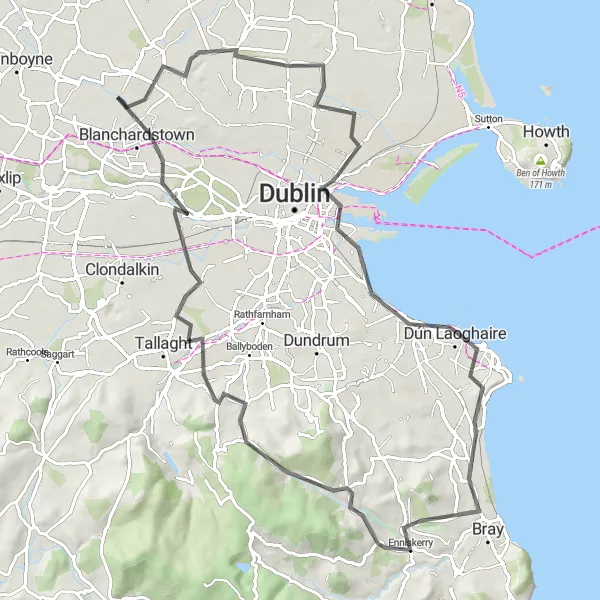
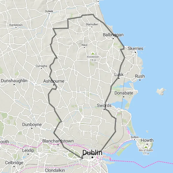
Discover the historical landmarks and stunning landscapes on this scenic road route
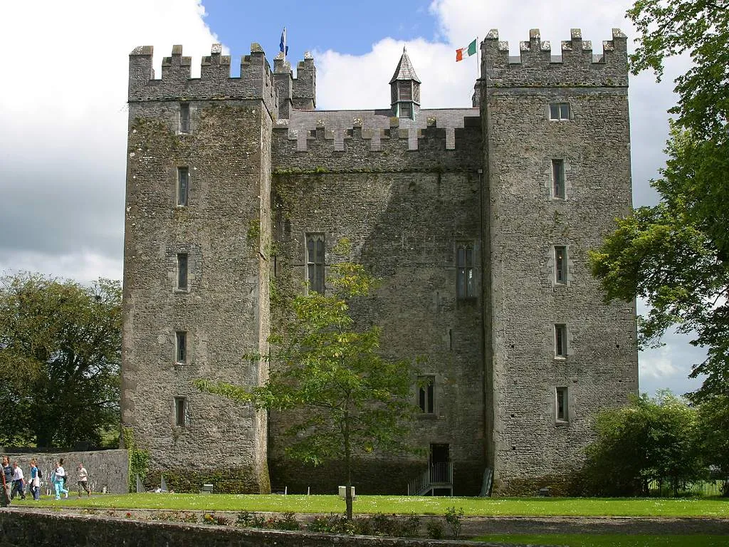
Explore the rich history and beautiful landscapes of Ireland on this road route from Dunsoughly Castle to Blanchardstown. With a challenging ascent of 800 meters and a distance of 88 kilometers, this route is perfect for experienced road cyclists seeking a diverse and picturesque adventure. Along the way, you'll pass by Dunsoughly Castle, a charming medieval ruin, and cycle through scenic areas like Sandymount and Glencullen. Don't miss the opportunity to explore the vibrant village of Ballyfermot and admire the architectural wonders of Blanchardstown.
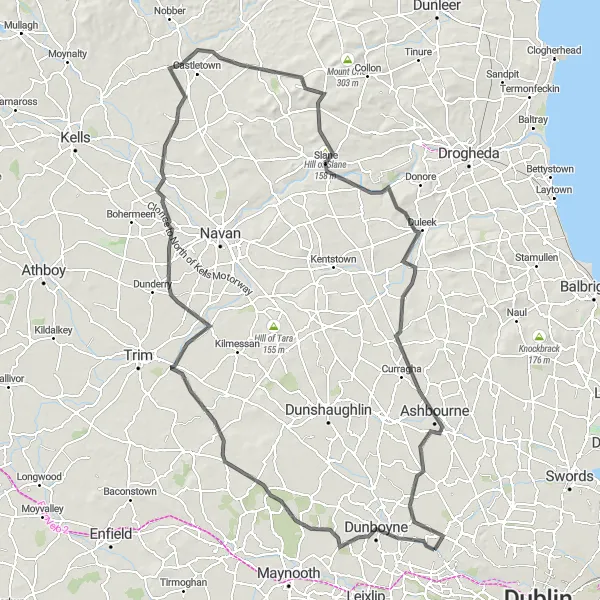
Conquer challenging climbs and enjoy breathtaking views on this scenic cycling route.
The Hilltop Challenge is a demanding round-trip cycling route that takes you through hilly landscapes and offers stunning views near Mulhurddart. With a total ascent of 715 meters and a distance of 136 kilometers, this route is suited for experienced cyclists. Starting in Dunboyne, you'll tackle challenging climbs to reach picturesque spots like Kilcloon, Mullagh, and Donaghpatrick. The highlight of this route is the iconic Hill of Slane, where you can enjoy panoramic views of the surrounding countryside. End your ride by exploring the majestic Newgrange, a prehistoric monument older than Stonehenge and the Great Pyramids.
The Lucan Loop Road
A picturesque road cycling route near Mulhurddart with stunning highlights.
The Lucan Loop Road is a scenic and challenging road cycling route that takes you through beautiful countryside near Mulhurddart, Eastern and Midland, Ireland. With a total ascent of 480 meters and covering a distance of 122 kilometers, this route offers a rewarding cycling experience. The route is suitable for well-trained amateurs who are looking for a challenge.
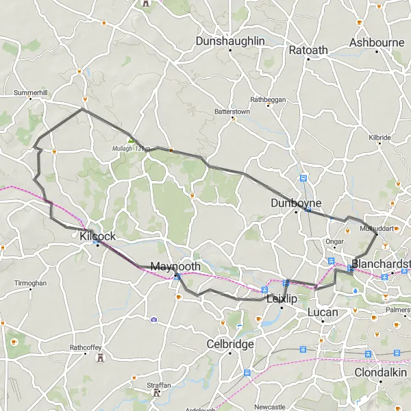
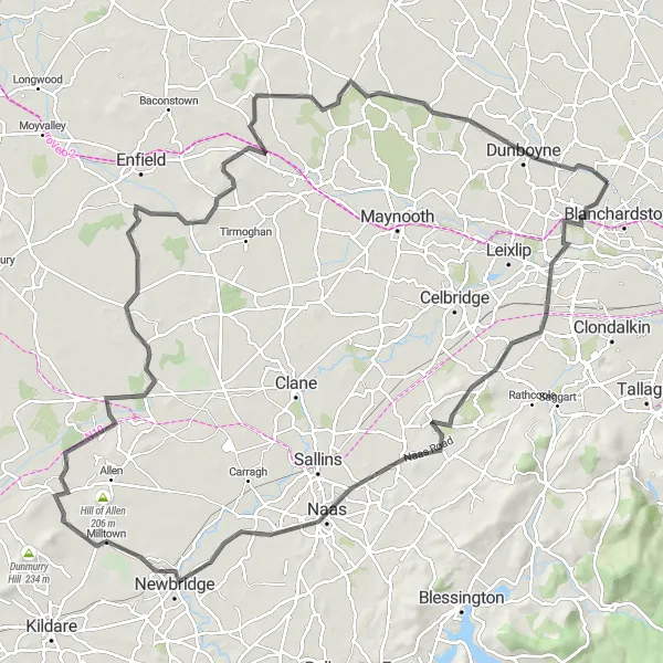
Embark on this challenging road route from Leixlip to Dunboyne and conquer the hills of Ireland
Experience the thrill of cycling through the rolling hills of Leixlip and Dunboyne on this epic road route. With a demanding ascent of 489 meters and a distance of 131 kilometers, this route is best suited for experienced road cyclists looking for a challenging adventure. Along the way, you'll pass by scenic spots such as Digby Bridge and the Hill of Allen. Don't forget to stop and admire the historic landmarks like Leixlip Castle and Dunboyne Castle.
The Liffey Loop
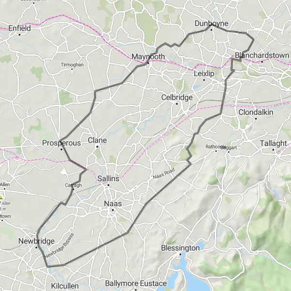
Cycle along the iconic River Liffey and discover the historic towns on its banks.
The Liffey Loop is a beautiful round-trip cycling route that takes you through some of the most picturesque towns near Mulhurddart. Starting in Lucan, you'll follow the River Liffey and pass through charming villages like Newcastle, Newbridge, Prosperous, and Maynooth. The route offers scenic views of the river and its surrounding countryside. With a total ascent of 405 meters and a distance of 98 kilometers, this route is suitable for well-trained amateurs.
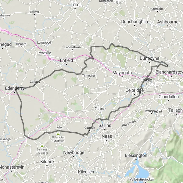
Leixlip to Dunboyne Road Route
Embark on this challenging road route from Leixlip to Dunboyne and conquer the hills of Ireland
Embark on an exhilarating road cycling journey from Leixlip to Dunboyne and admire the scenic beauty of Ireland's countryside. With an ascent of 310 meters and a distance of 84 kilometers, this road route offers a moderate challenge suitable for skilled cyclists. Along the way, explore the historic Leixlip Castle, marvel at the impressive Donadea Castle, and conquer the thrilling ascent of Mullagh. Delve into the rich heritage of Ireland as you pedal through picturesque landscapes and arrive at the iconic Dunboyne Castle.
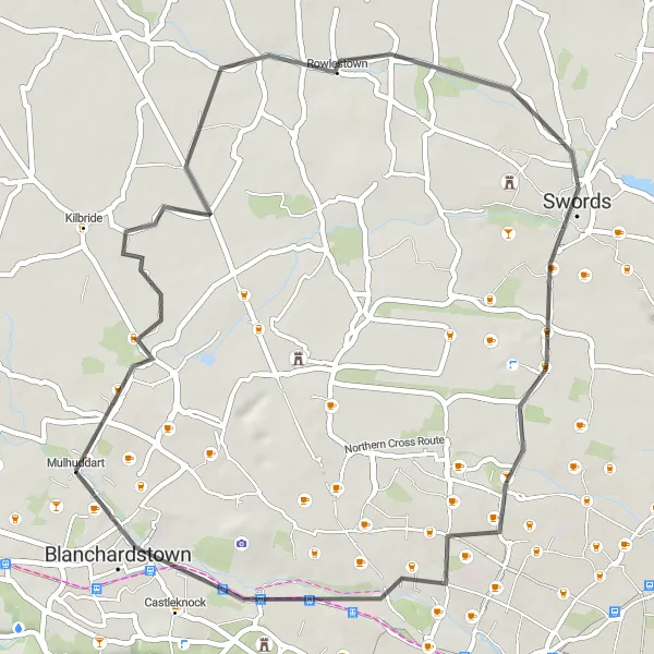
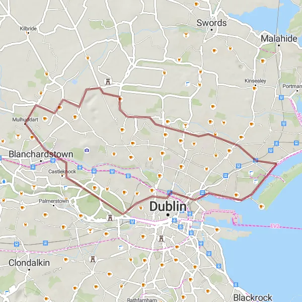
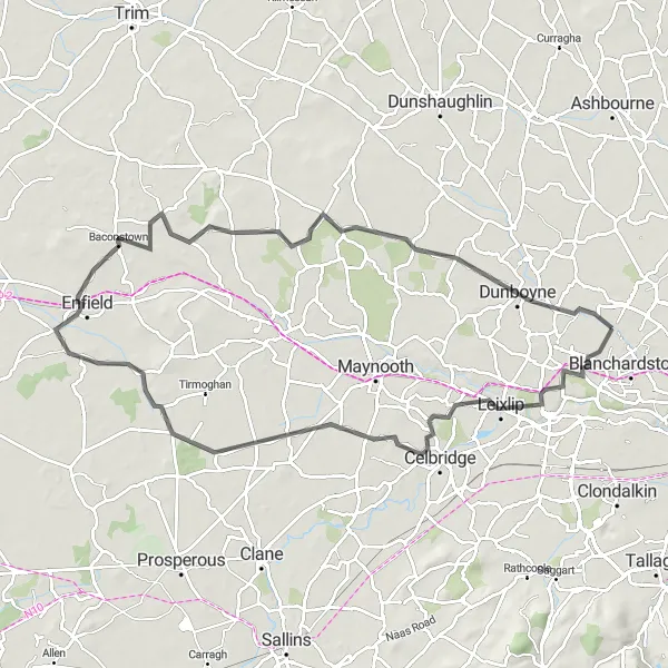
Embark on a journey to discover ancient ruins and historic sites on this fascinating cycling route near Mulhurddart.
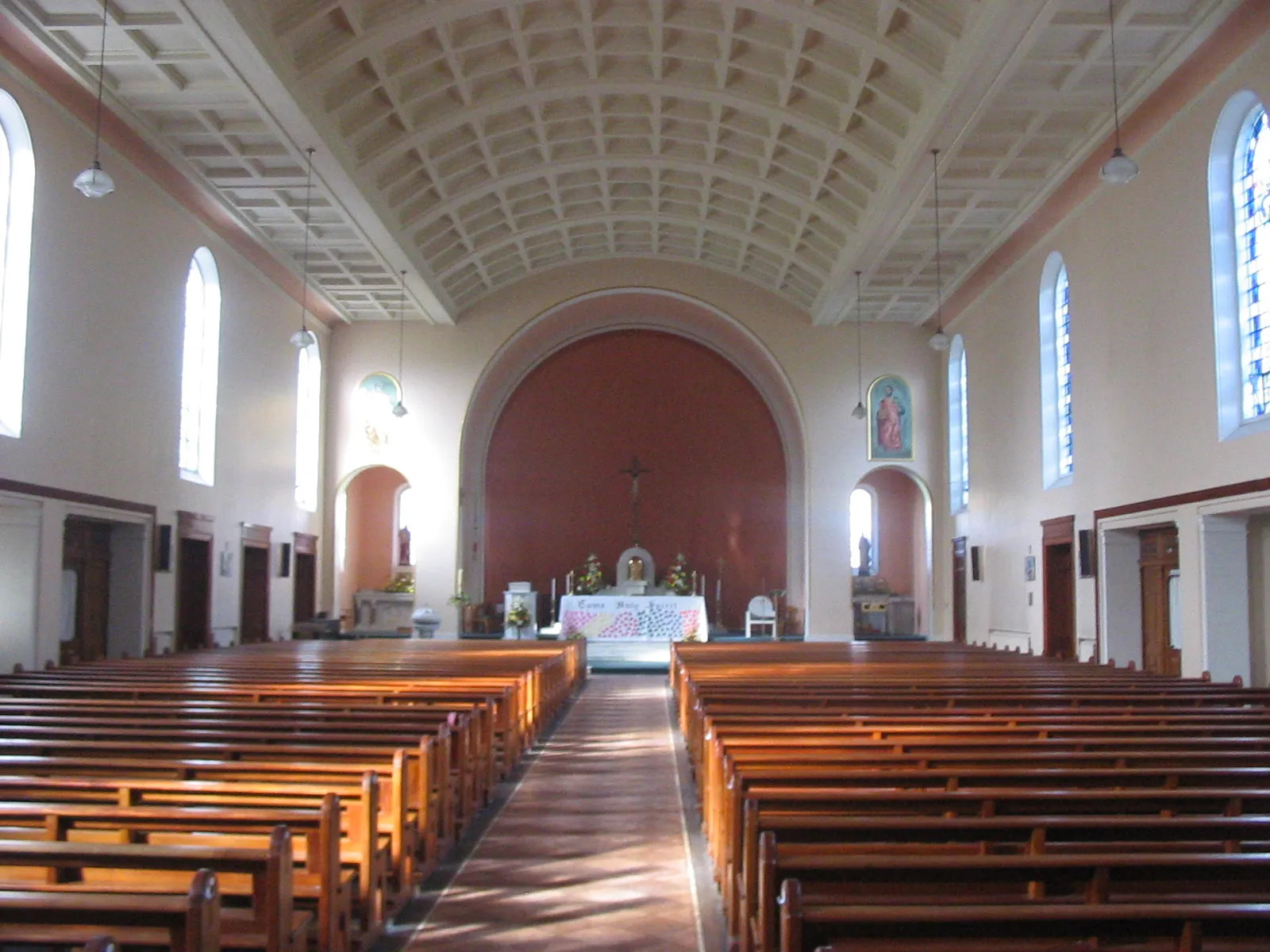
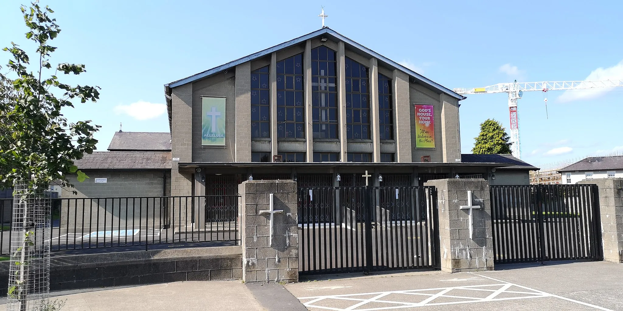
The Ancient Trail is an intriguing round-trip cycling route that takes you through the historic sites and ancient ruins near Mulhurddart. With a total ascent of 129 meters and a distance of 47 kilometers, this route is suitable for beginners. Starting at the Church of Mary ruins, you'll cycle through Rowlestown, Swords, and Castleknock before returning to Mulhuddart. Along the way, you'll encounter fascinating remnants of Ireland's past, including ancient burial mounds, historic churches, and architectural landmarks. Highlights of this route include the atmospheric Church of Mary ruins, the former swimming area in Swords, and the charming village of Castleknock.
Cycling routes nearby:
Nearby regions: