Cycle through Portarlington and explore its scenic routes.
Cycling routes from Portarlington
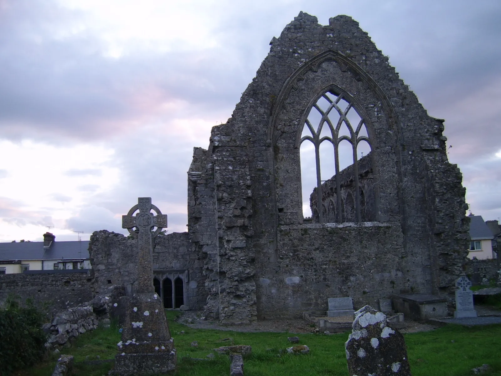
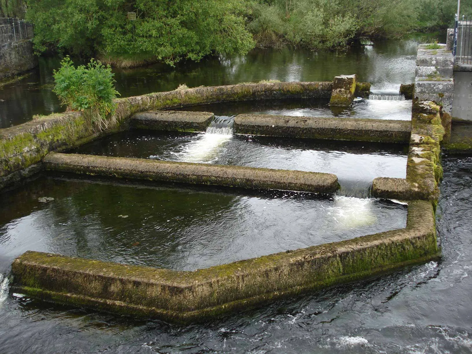
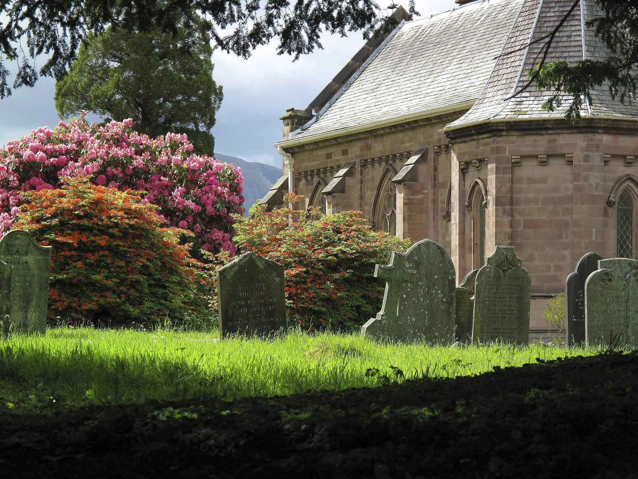
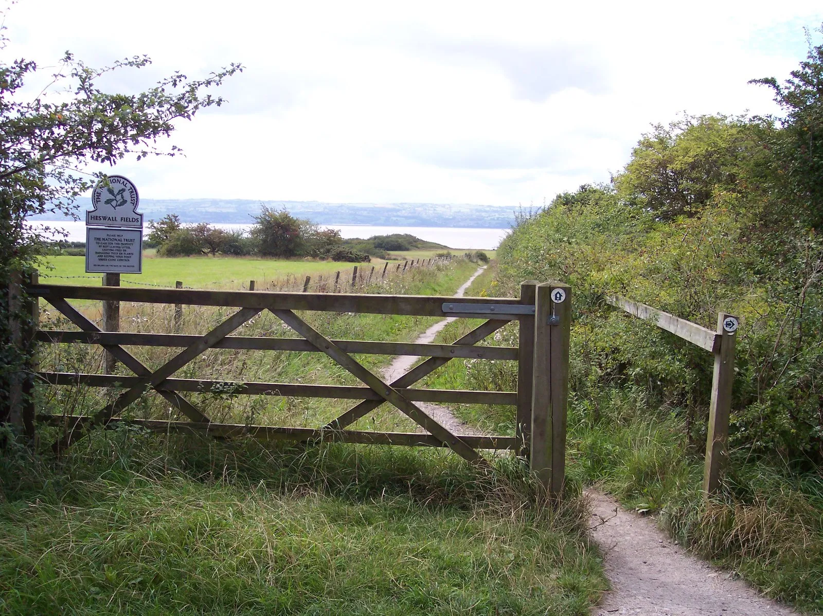
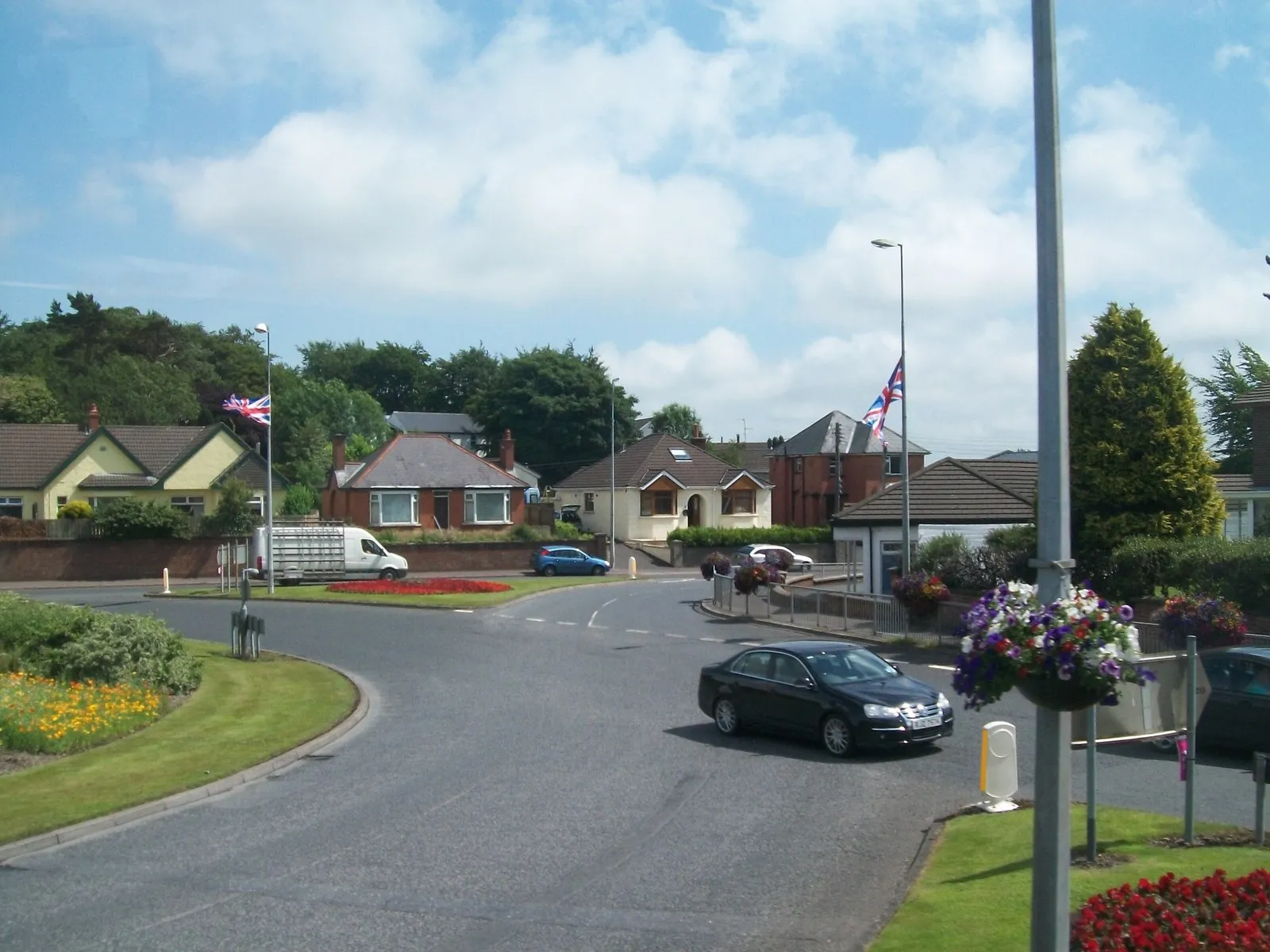
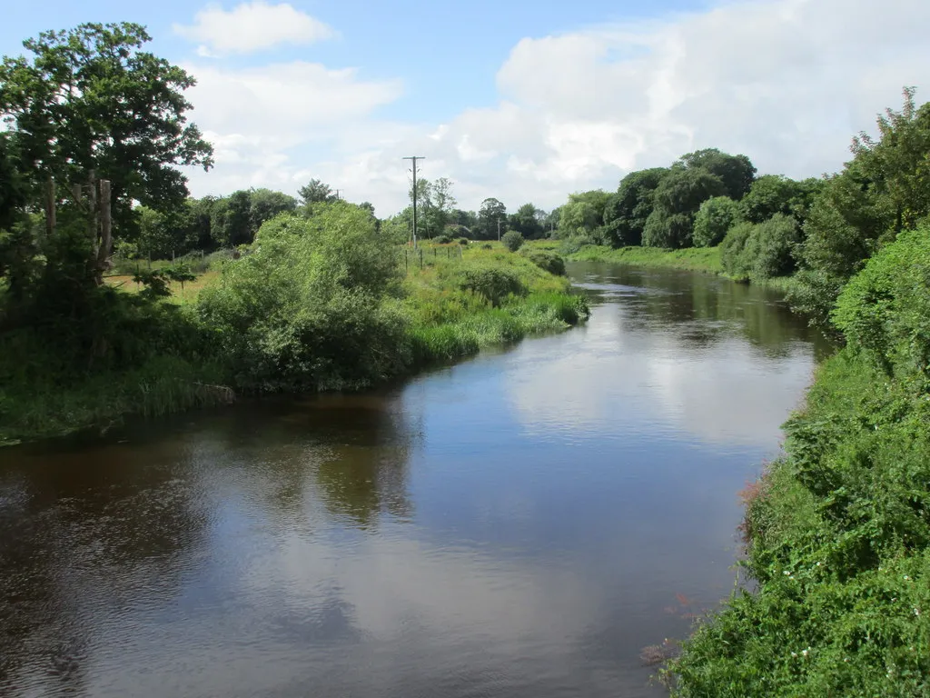
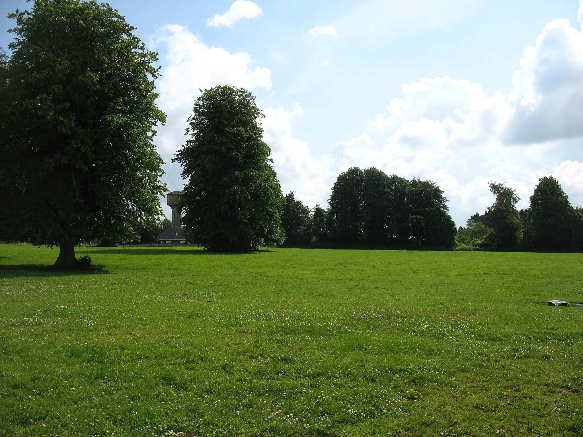
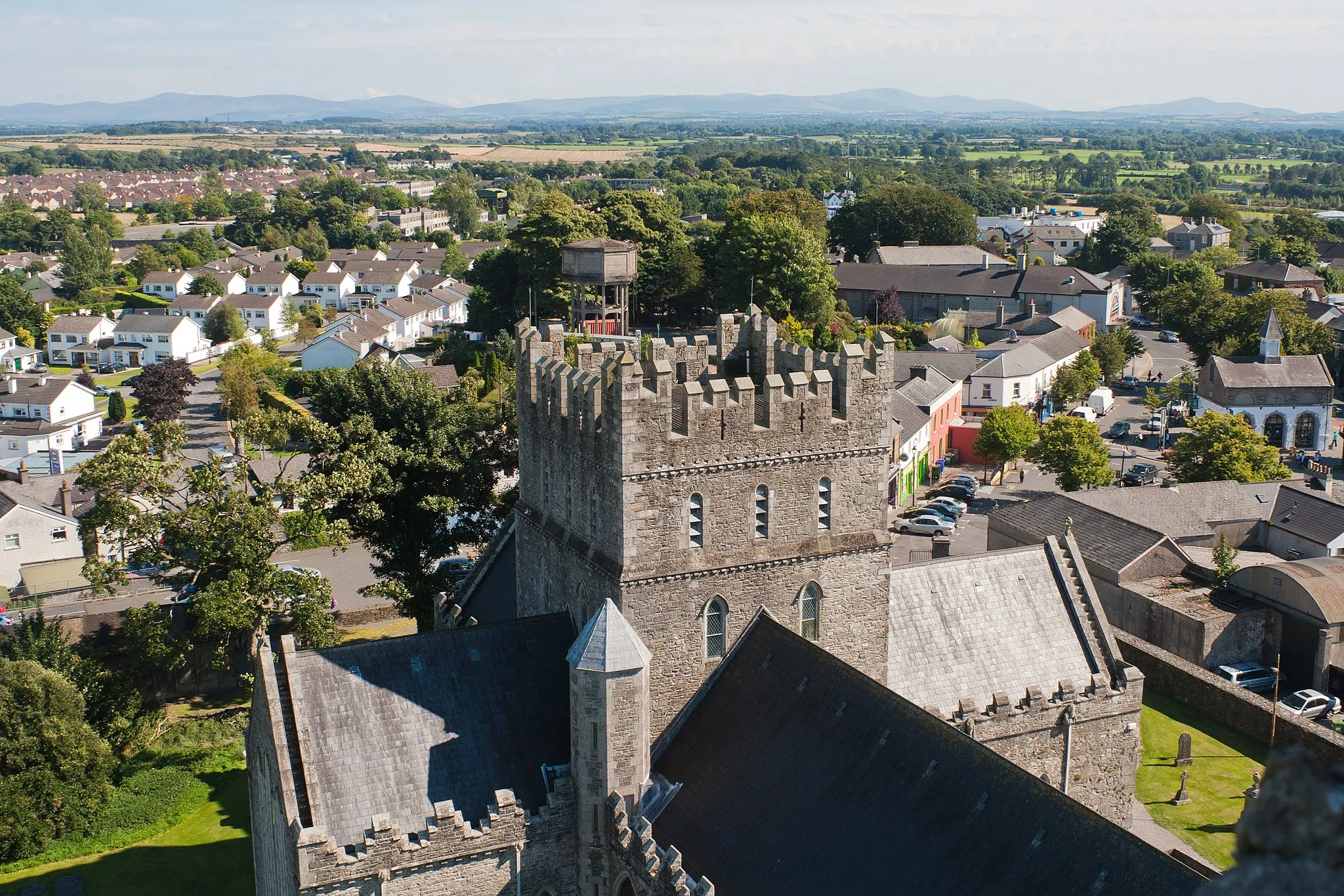
Portarlington, situated in the Eastern and Midland region of Ireland, offers various cycling routes suitable for both road and gravel cyclists. The town is surrounded by picturesque landscapes and includes bike-friendly paths that can lead riders to nearby attractions such as Emo Court and Gardens. Portarlington serves as a peaceful countryside cycling destination.
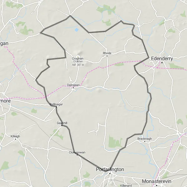
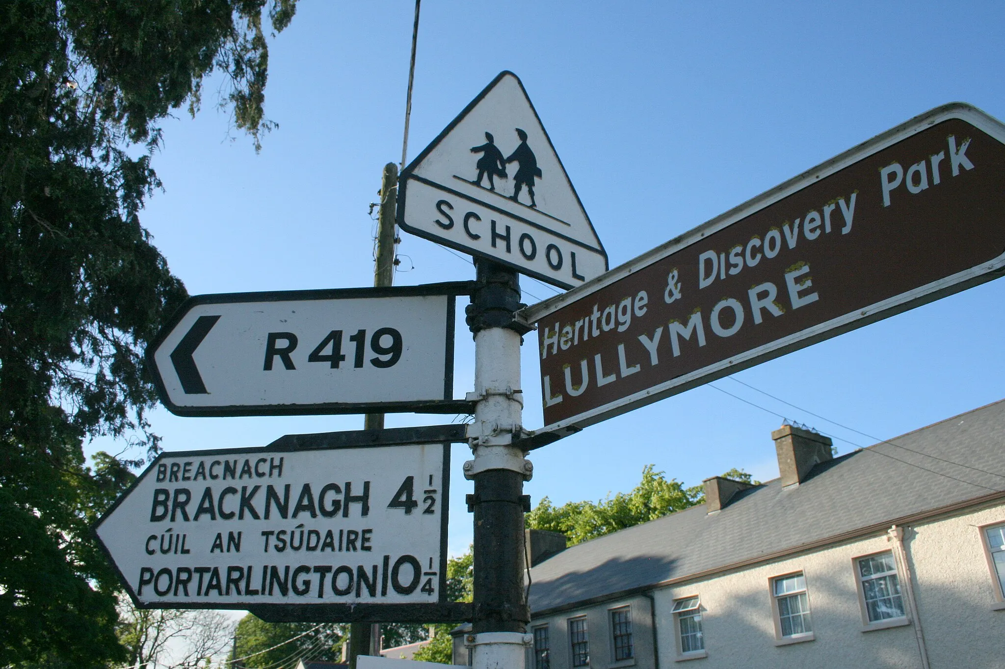
Discover the charming towns of Ballinagar and Clonbulloge on this picturesque cycling route
Explore the scenic countryside of Eastern and Midland, Ireland on this 94 km road cycling route. With a moderate ascent of 266m, this route is suitable for amateur cyclists with some training. Highlights along the way include the historic Ballinagar, located 17 km into the route, and the quaint town of Clonbulloge at the 79 km mark.
Immerse yourself in the scenic landscapes of Portarlington and Vicarstown
Escape to a world of breathtaking landscapes on this round-trip route from Portarlington to Vicarstown. Covering a distance of 76 kilometers and featuring an ascent of 493 meters, this route is suitable for well-trained amateurs seeking a moderate challenge. Road cyclists will appreciate the predominantly road-based terrain. With a difficulty rating of 3 out of 5 and an epicness rating of 3 out of 5, this route promises a rewarding cycling adventure.
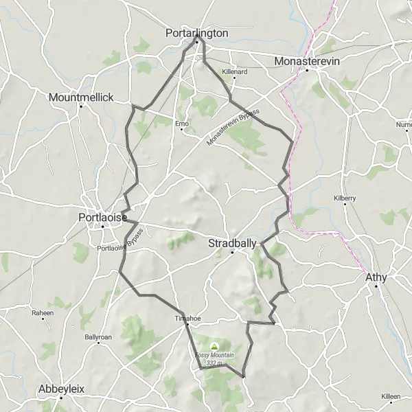
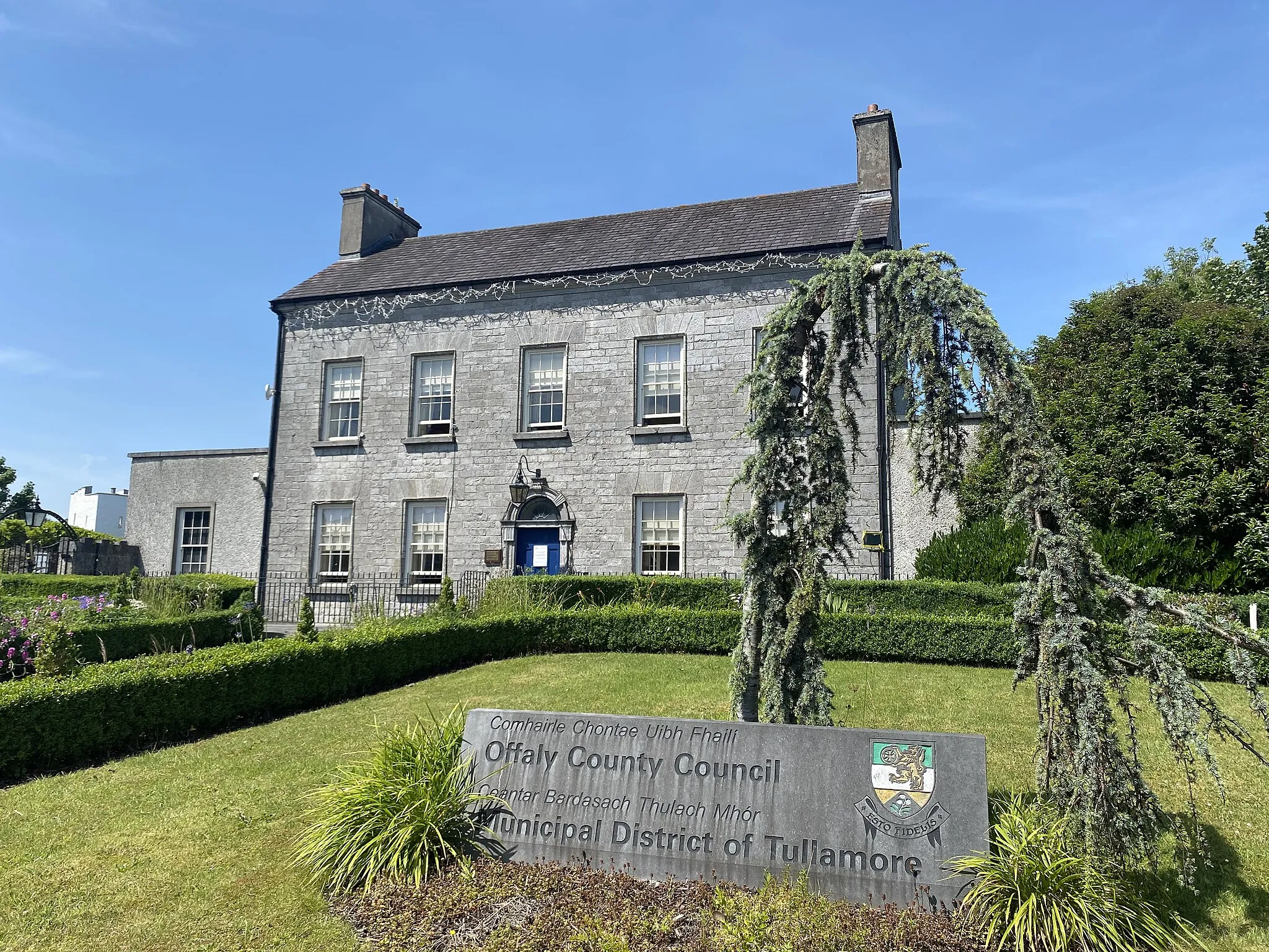
Explore the stunning countryside from Portlaoise to Clonygowan on this road cycling route
Embark on a journey through the picturesque countryside of Eastern and Midland, Ireland on this 76 km road cycling route. With an ascent of 297m, this route is suitable for amateur cyclists with some experience. Highlights along the way include the vibrant town of Portlaoise, located 19 km into the route, and the peaceful village of Clonygowan at the 69 km mark.
Discover the beauty of the Irish countryside on this scenic cycling route
Capture the essence of Ireland's natural beauty on this round-trip route from Portarlington to Kildare. With a distance of 106 kilometers and an ascent of 374 meters, this route provides a moderate challenge for well-trained amateurs. Suitable for road cycling enthusiasts, it offers a mix of road terrain. Rated with a difficulty level of 3 out of 5 and an epicness rating of 3 out of 5, this route ensures an exhilarating cycling experience without being overly strenuous.
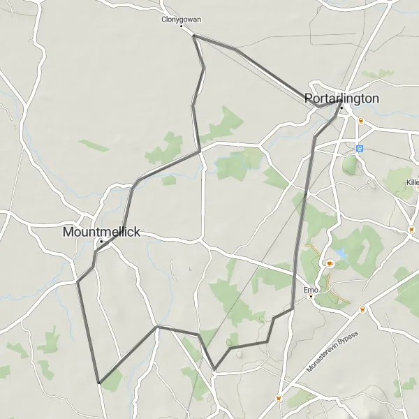
Explore the scenic countryside on this picturesque cycling route
Embark on a relaxing journey through the peaceful countryside on this round-trip route from Portarlington to Mountmellick. With a distance of 41 kilometers and an ascent of 84 meters, this route is suitable for cyclists of all skill levels. Rated with a difficulty level of 2 out of 5, it offers a leisurely cycling experience. The route is predominantly road-based, perfect for road bike enthusiasts. Its epicness is rated at 2 out of 5, promising a pleasant and enjoyable ride.
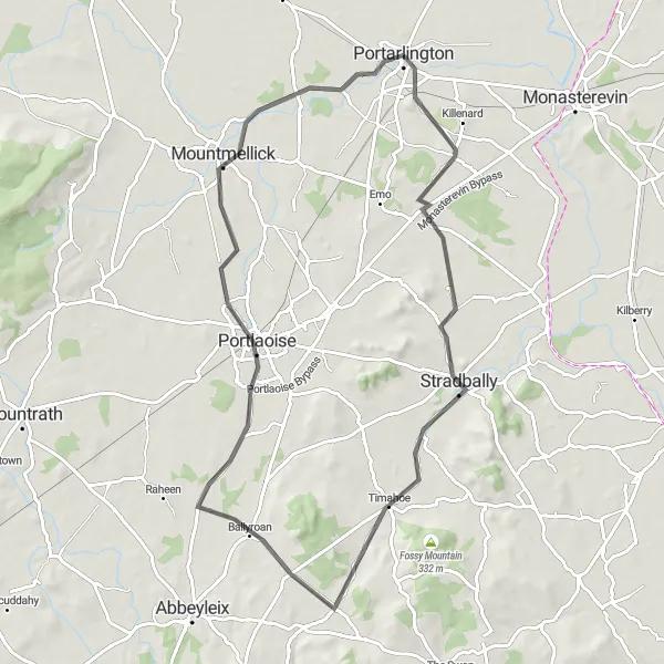
Discover the delights of Portarlington and Portlaoise on this scenic round-trip
Immerse yourself in the delights of two vibrant towns with this round-trip route from Portarlington to Portlaoise. Covering a distance of 73 kilometers and featuring an ascent of 227 meters, this route offers a moderate challenge suitable for well-trained amateur cyclists. Road bike enthusiasts will appreciate predominantly road-based terrain. With a difficulty rating of 3 out of 5 and an epicness rating of 2 out of 5, this route offers a fulfilling cycling experience with picturesque scenery.
Experience the beauty of Eastern and Midland, Ireland on this scenic road cycling route
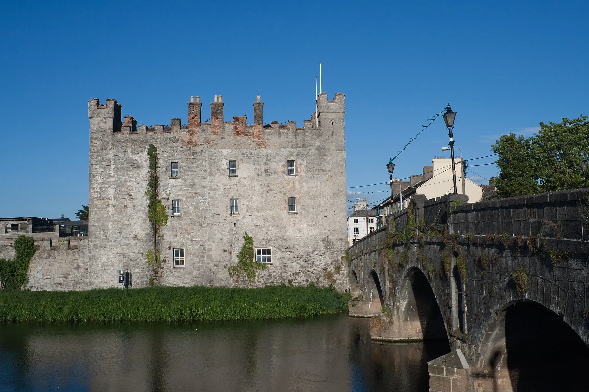
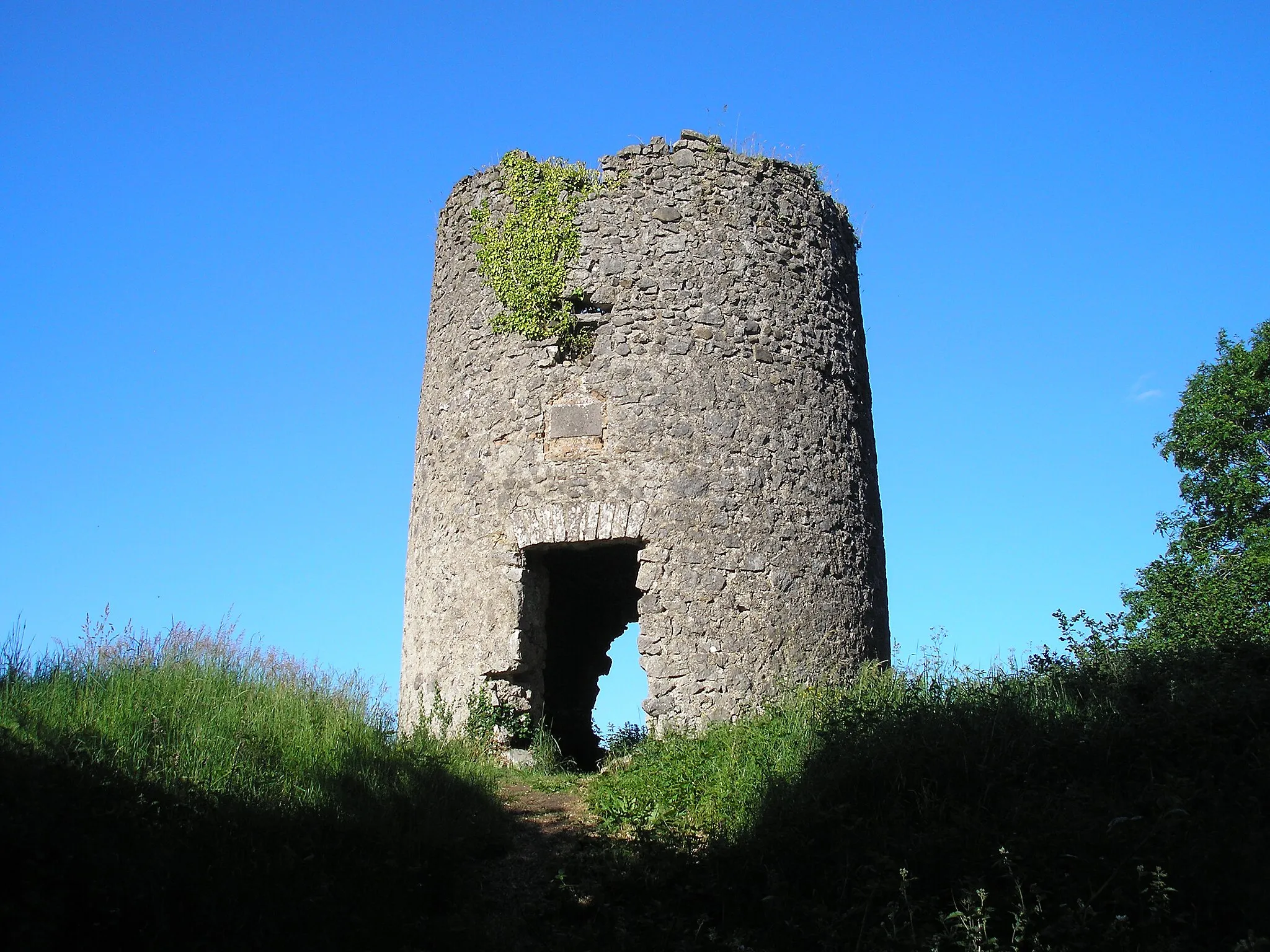
Immerse yourself in the beauty of Eastern and Midland, Ireland on this 112 km road cycling route. With a moderate ascent of 317m, this route is suitable for intermediate-level cyclists. Highlights along the way include the picturesque town of Mountmellick, located 12 km into the route, the impressive Ballycowan Castle at the 52 km mark, and the historic town of Tyrrellspass at the 76 km mark.
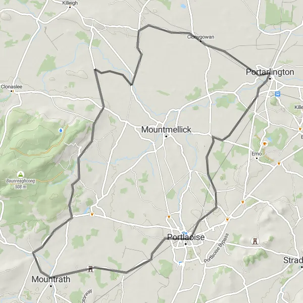
Embark on a journey through stunning castles and charming villages on this road cycling route
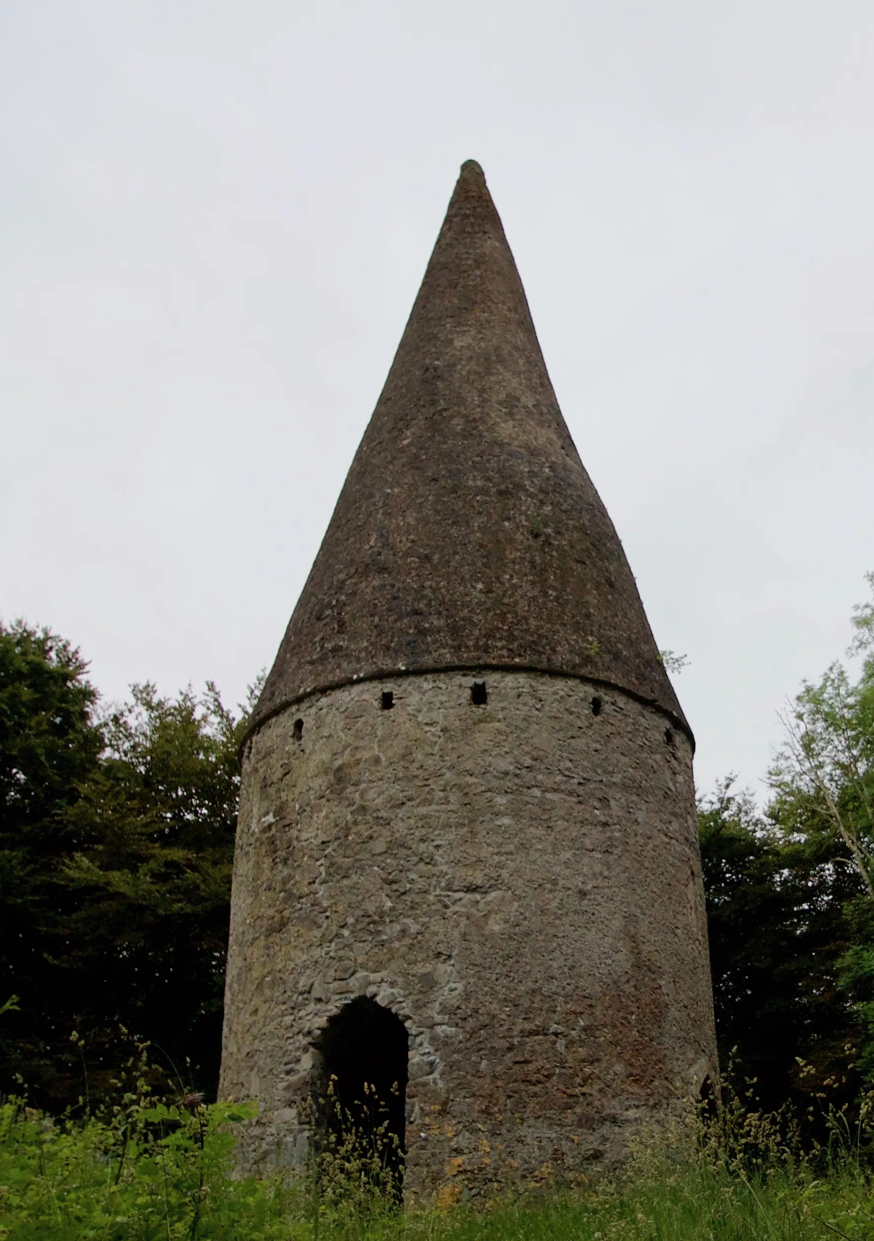
Immerse yourself in Ireland's rich history as you cycle through castles and traditional villages on this 117 km road cycling route. With an ascent of 396m, this route is suitable for experienced amateur cyclists. Highlights along the way include the magnificent Clonreher Castle, located 19 km into the route, the picturesque village of Mountrath at the 33 km mark, and the historic Ballaghmore Castle at the 50 km mark.
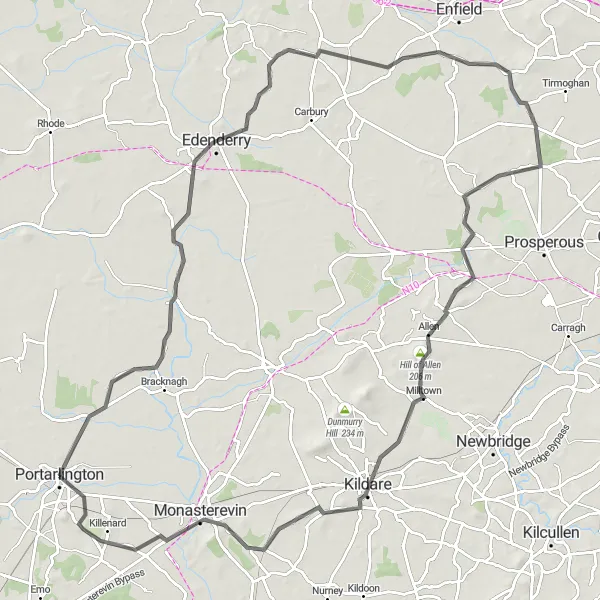
Cycle through the picturesque towns of Portarlington and Monasterevin
This round-trip route takes you through the charming towns of Portarlington and Monasterevin. Along the way, you'll enjoy scenic views, historical landmarks, and a moderate level of difficulty that is suitable for well-trained amateurs. The route covers a distance of 106 kilometers with a total ascent of 484 meters. It offers a delightful mix of road terrain, perfect for road cycling enthusiasts. With a level of epicness rated at 3 out of 5, this route provides a fulfilling cycling experience without being overly challenging.
Cycle through picturesque landscapes from Mountmellick to Clonaslee on this scenic route
Enjoy the beauty of Eastern and Midland, Ireland on this 77 km road cycling route. With an ascent of 296m, this route is suitable for amateur cyclists with some training. Highlights along the way include the charming town of Mountmellick, located 12 km into the route, and the picturesque village of Clonaslee at the 30 km mark. Clonygowan, situated at the 70 km mark, offers a closer look at traditional Irish rural life.
Cycling routes nearby:

Nearby regions: