Cycling routes for all levels and mountain bike trails in Templeogue.
Cycling routes from Templeogue
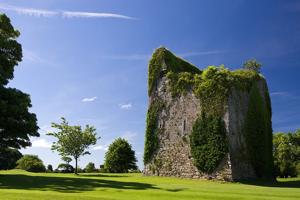
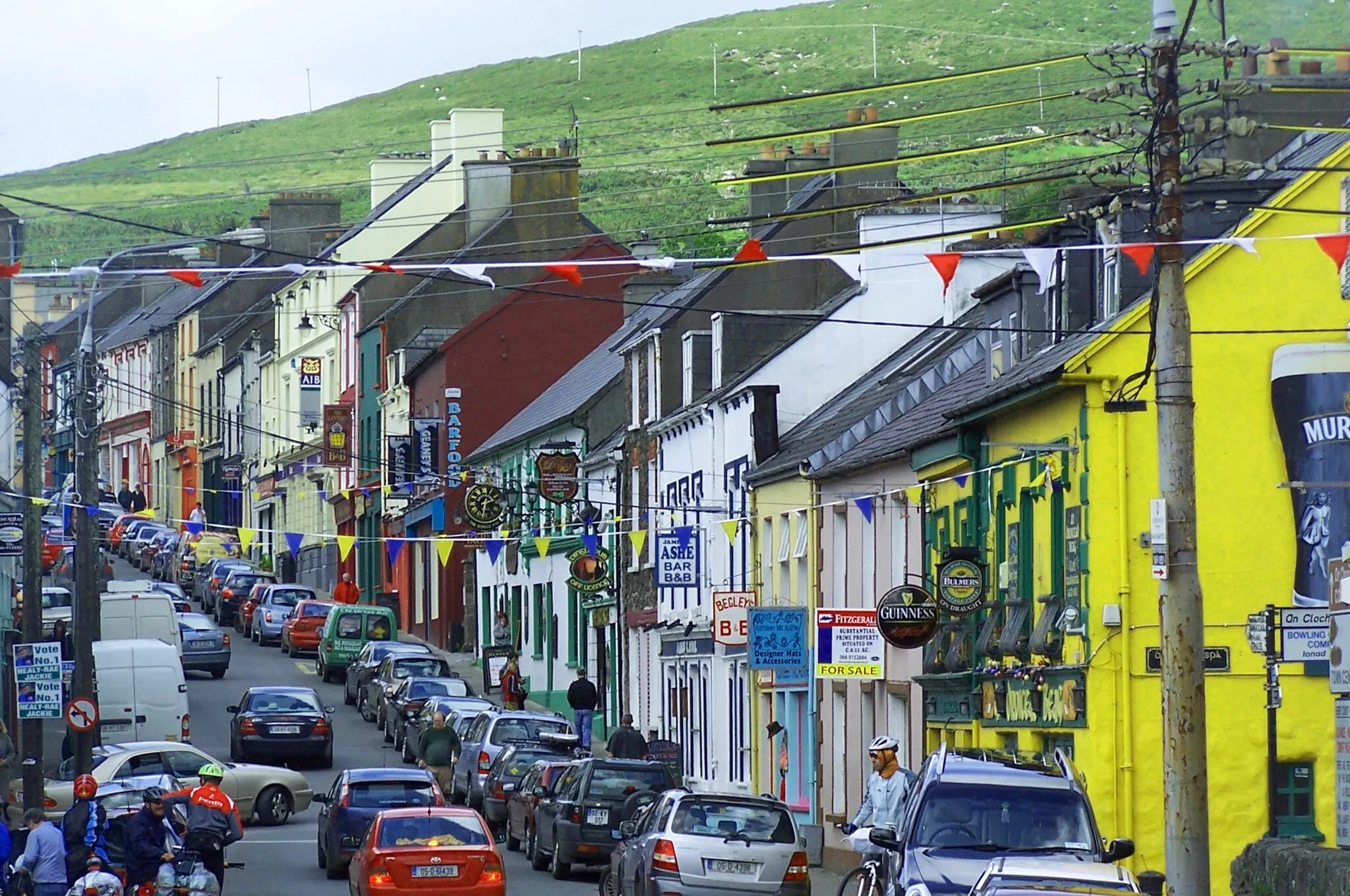
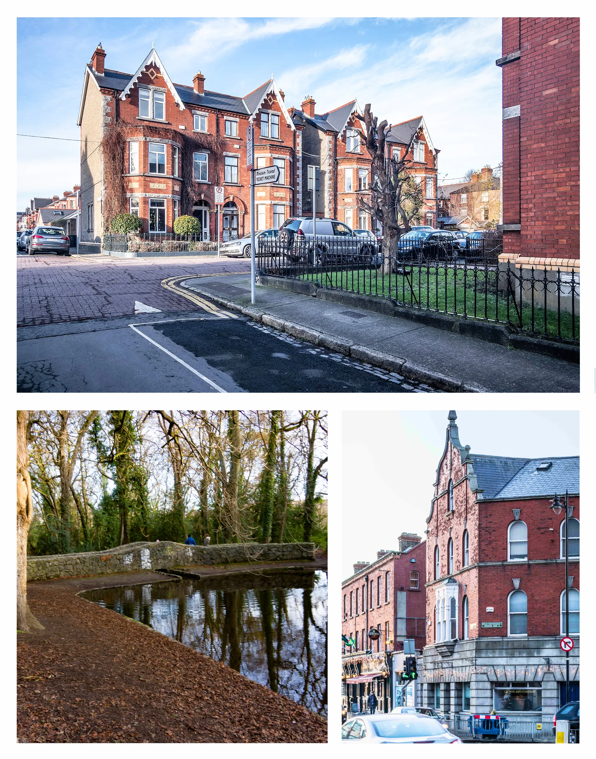
Templeogue, situated in the Eastern and Midland region of Ireland, is a great locality for road and gravel cyclists alike. The area offers a variety of cycling routes, ranging from flat and easy paths to challenging climbs. Cyclists in Templeogue can also visit nearby Marlay Park, which features a network of mountain bike trails suitable for all skill levels.
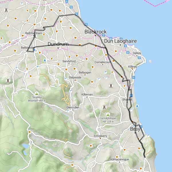
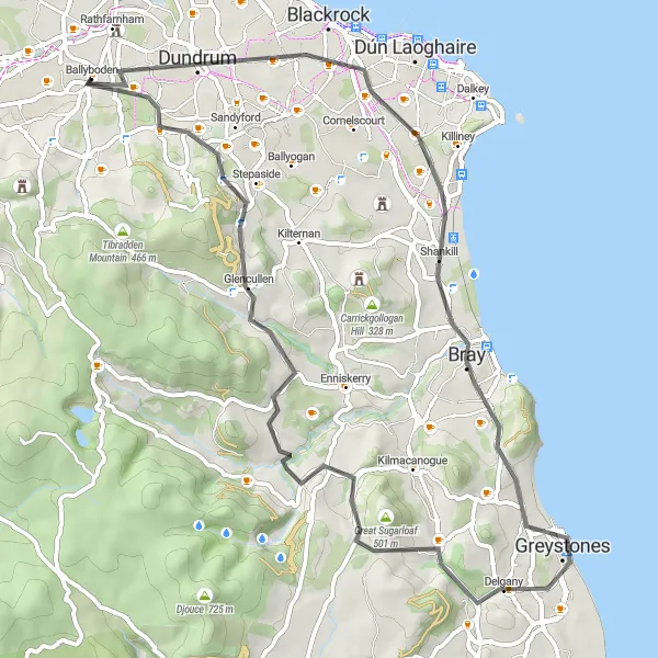
From the picturesque village of Ballyboden to the coastal town of Bray, this road cycling route offers stunning views along the way.
This scenic road cycling route takes you through beautiful landscapes, including a panoramic view of Bray. It is suitable for moderately experienced cyclists looking for a challenging yet rewarding ride.
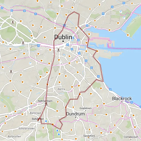
Experience the thrill of cycling through Dublin's skyline on this adventurous gravel route with stunning city views.
This gravel cycling route offers a unique perspective of Dublin's cityscape, taking you through its iconic landmarks. It is suitable for intermediate cyclists looking for an urban adventure.
Mountain Challenge
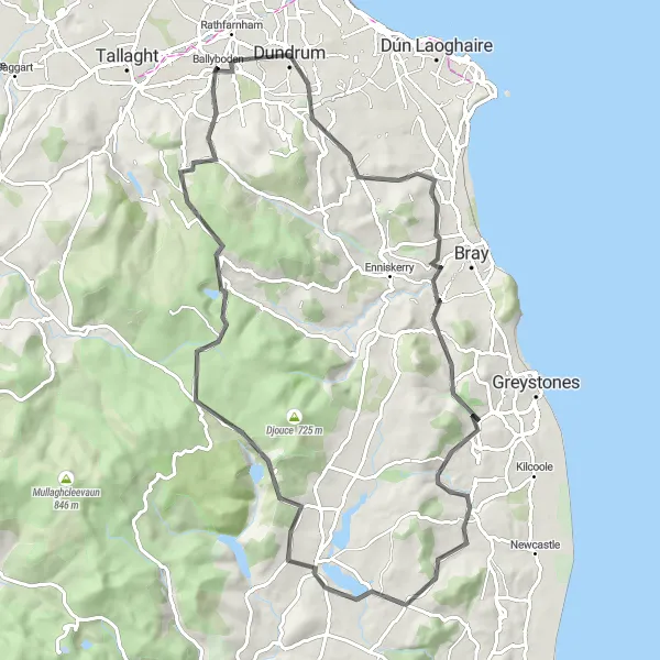
Conquer the mountains and enjoy breathtaking panoramas on this road route.
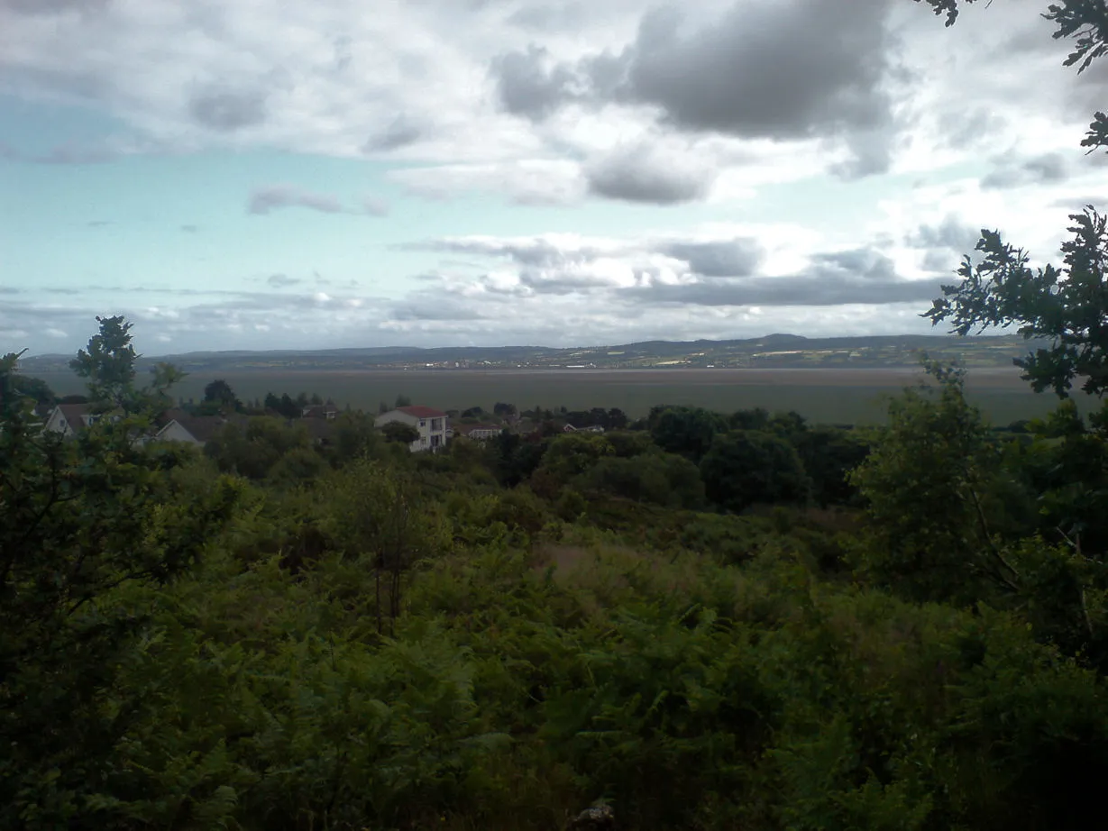
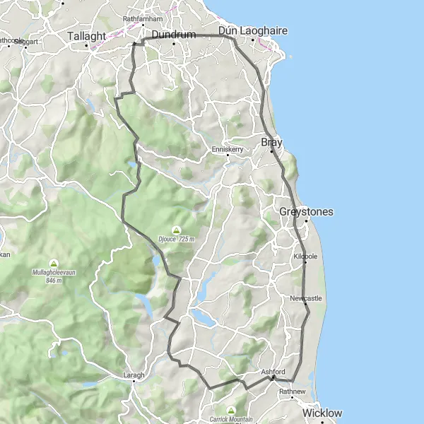
Prepare for an exhilarating adventure as you tackle challenging ascents and soak in glorious mountain vistas. Highlights of this route include Dundrum, Kilternan, Roundwood, and Glencree German War Cemetery. With its demanding terrain, this route is suited for experienced cyclists seeking an epic mountain challenge in Eastern and Midland Ireland.
Embark on an invigorating countryside journey, exploring the outskirts of Dublin.
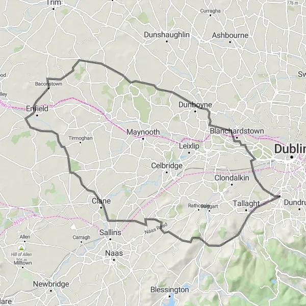
This road route takes you on a scenic adventure through the heart of Eastern and Midland Ireland. With highlights including Palmerstown, Lucan, Johnstown, and Clondalkin, you'll experience the beauty of the countryside and immerse yourself in the local culture. Expect challenging hills and rewarding vistas along the way.
Cycling adventure with beautiful scenery and challenging climbs
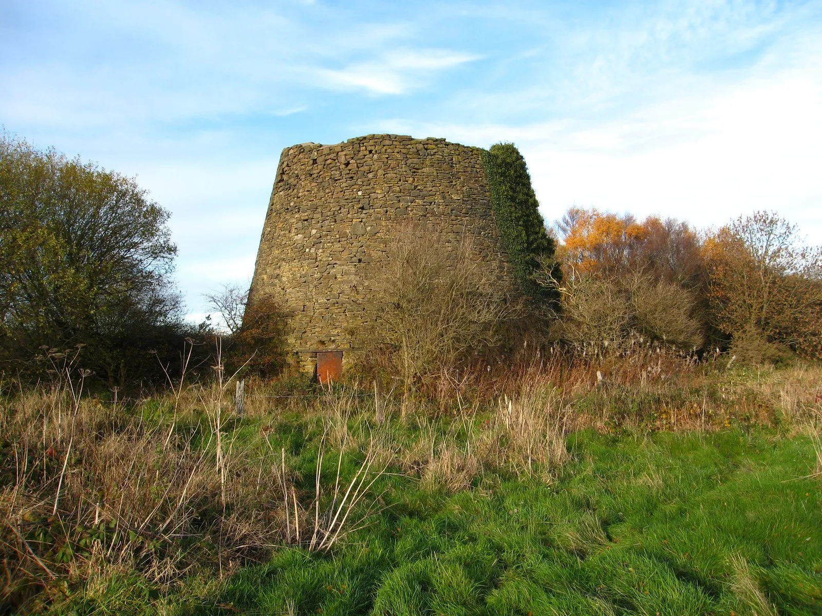
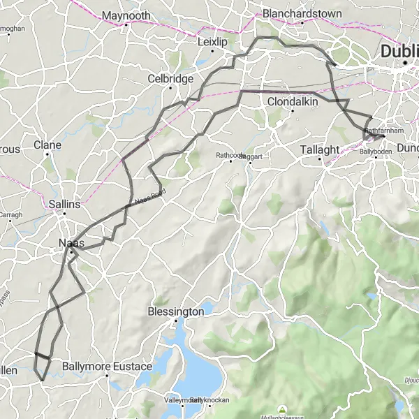
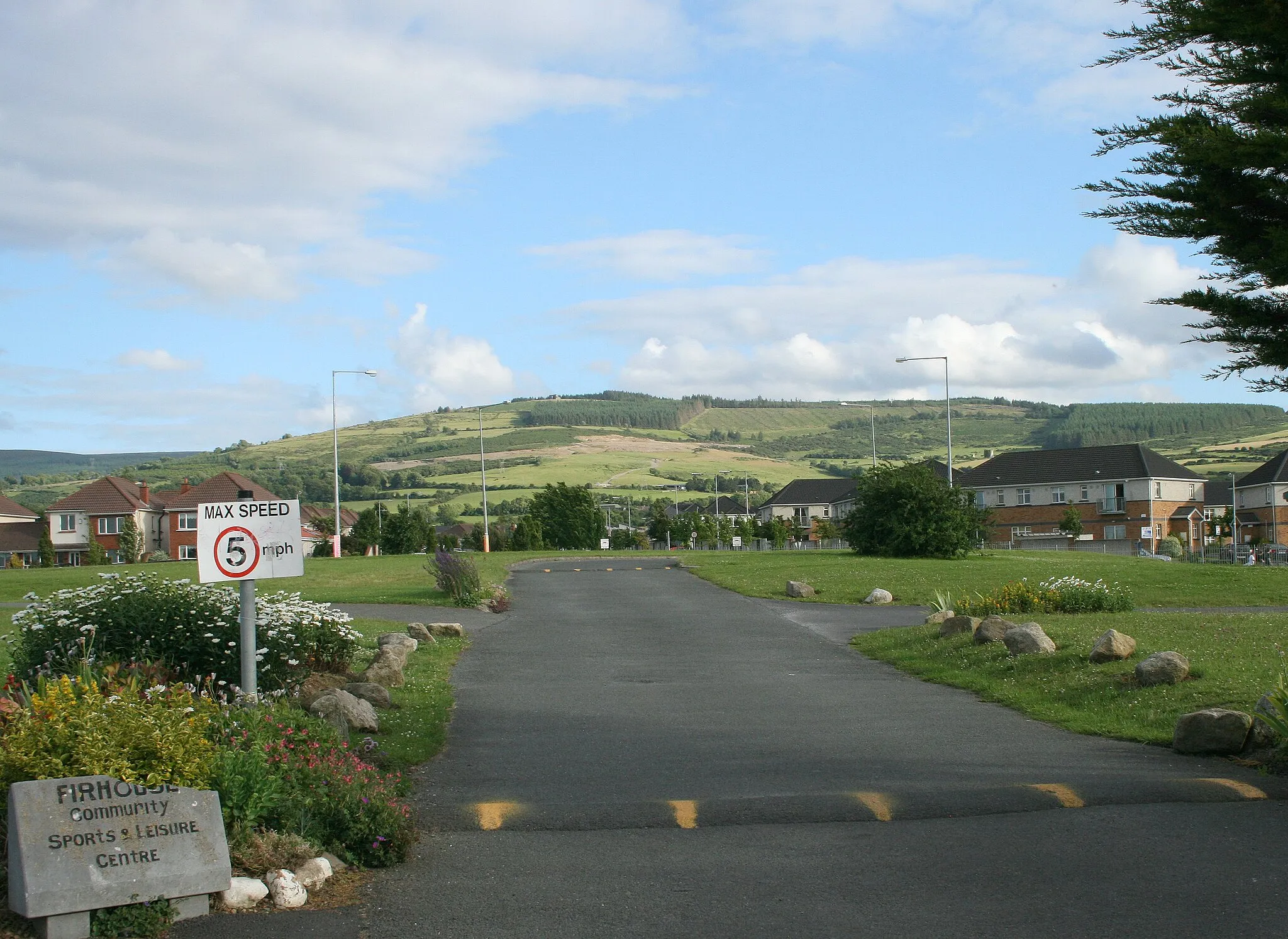
This round-trip cycling route starting near Templeogue takes you on a journey through stunning landscapes and challenging climbs. The route passes through notable landmarks such as Firhouse, Slievenabawnoge, and Black Hill. With a total distance of 112 km and an ascent of 667 meters, this route is suitable for well-trained amateur cyclists looking for a challenging ride. The highlight of this route is the Oughterard Round Tower, a historic tower located at the halfway point. The route continues through Clane, Johnstown Bridge, Agher, and Mullagh, providing cyclists with a diverse and scenic experience.
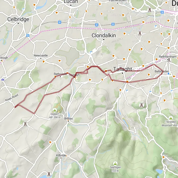
Escape the city buzz and explore the gravel trails from Firhouse to Willbrook, enjoying the tranquility of nature.
This gravel cycling route takes you through scenic countryside and forests, offering a peaceful and adventurous experience. It is ideal for gravel enthusiasts looking for a moderate challenge.
A scenic and challenging ride through historical landmarks and natural beauty
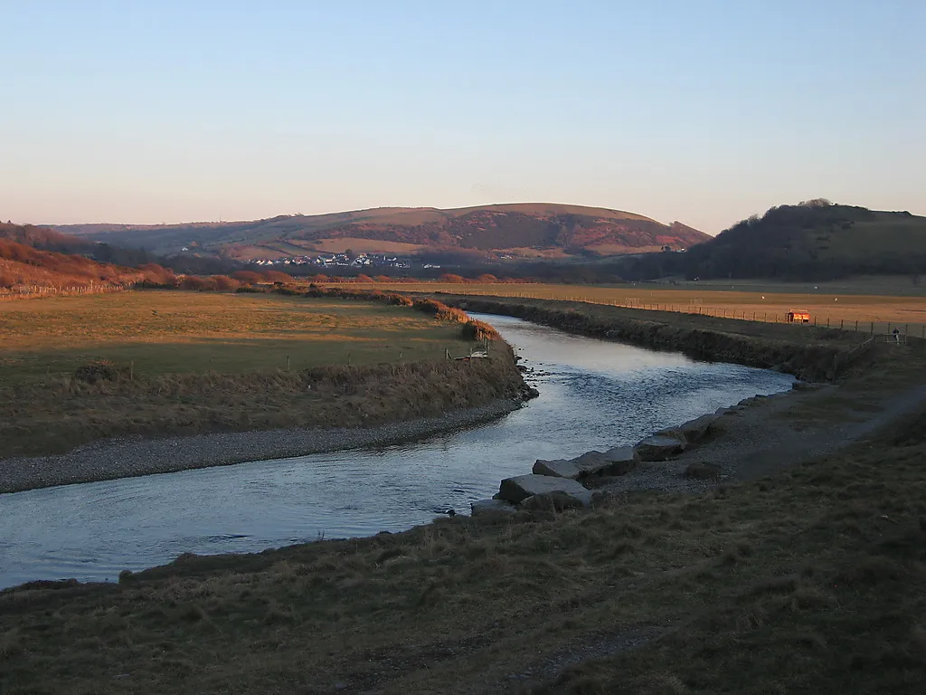
Embark on a memorable cycling journey starting near Templeogue with this round-trip route. Enjoy breathtaking scenery and challenging climbs as you cycle past Dundrum, Loughlinstown, and the Rock of Kilcoole. With a distance of 97 km and an ascent of 1258 meters, this route is suitable for experienced cyclists seeking a thrilling adventure. The Ashford and Annamoe areas offer picturesque views of the Wicklow Mountains, and the route also passes by Robber's Pass Hill and the Glencree German War Cemetery, both offering a unique blend of history and natural beauty. The highlight of the route is Killakee Mountain, a legendary climb that attracts cycling enthusiasts from all over the country.
The Coastal Journey
Experience the stunning coastal views as you cycle along this road route.
Embark on a scenic journey along the Irish coast, with highlights including Dundrum, Loughlinstown, Greystones, and Ballinteer. This route offers picturesque landscapes, charming seaside towns, and a moderate level of difficulty. Perfect for intermediate cyclists looking to enjoy the beauty of the Eastern and Midland region.
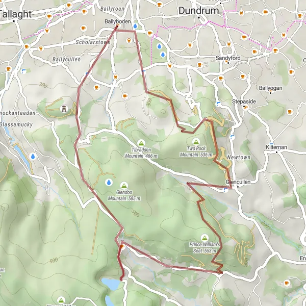
Embark on an adventurous gravel expedition to explore the wonders of Three Rock Mountain and Glencullen.
This gravel cycling route offers a thrilling expedition through rugged landscapes and natural wonders. It is suitable for experienced gravel riders seeking a challenging and rewarding ride.
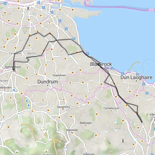
Explore the lesser-known neighborhoods of South Dublin on this road route.
Delve into the hidden gems of South Dublin, as you cycle through Blackrock, Booterstown, and Rathgar. This route offers a mix of urban and suburban scenery, with some gentle hills to challenge your cycling skills. Discover the vibrant local communities and soak in the rich history and culture of South Dublin.
Cycling routes nearby:


Nearby regions: