Cycling Paradise in Southern Ireland
Cycling routes from Enniscorthy
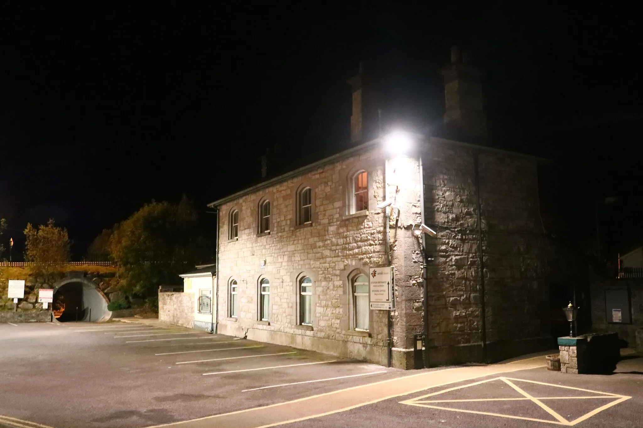
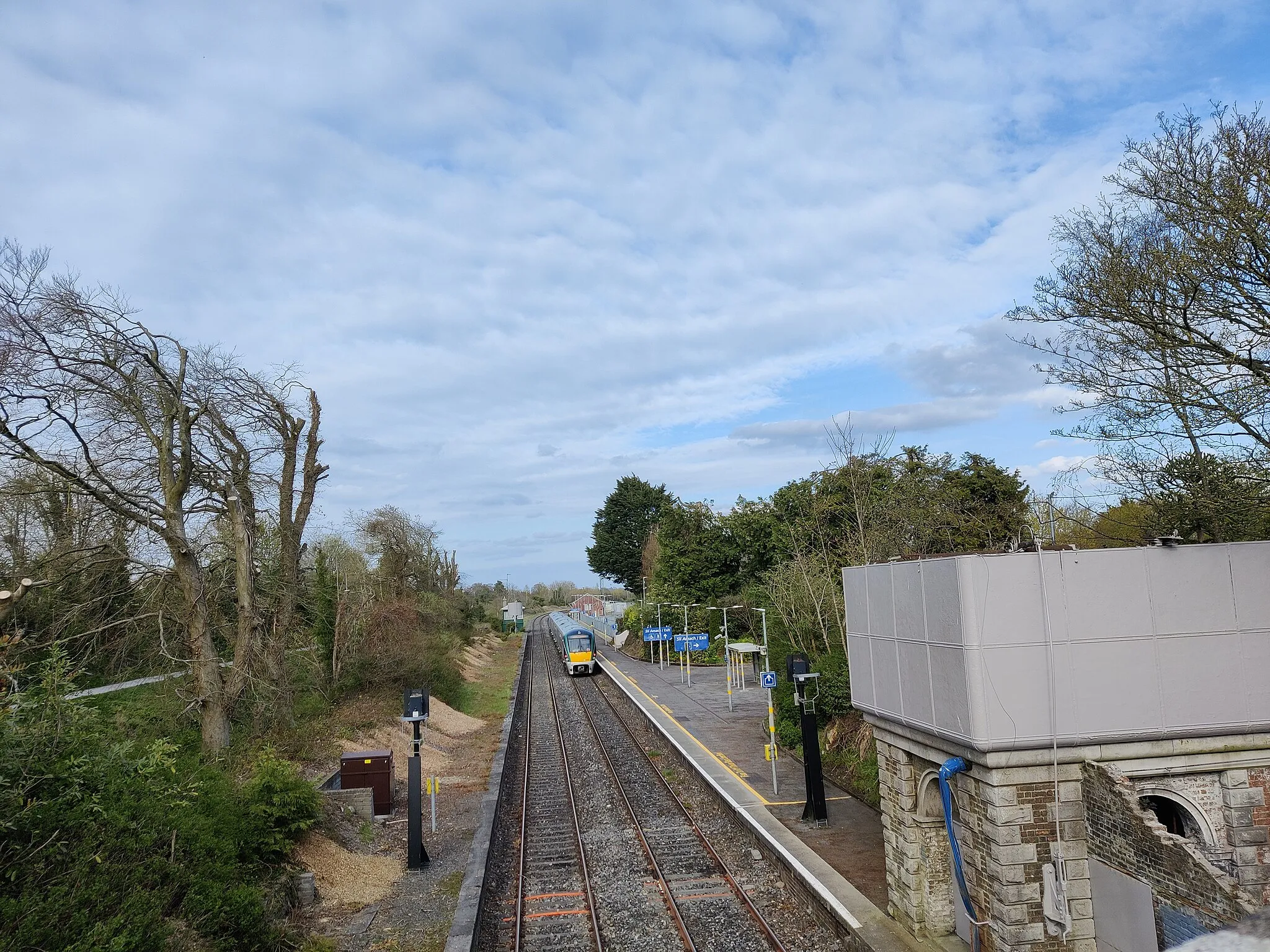
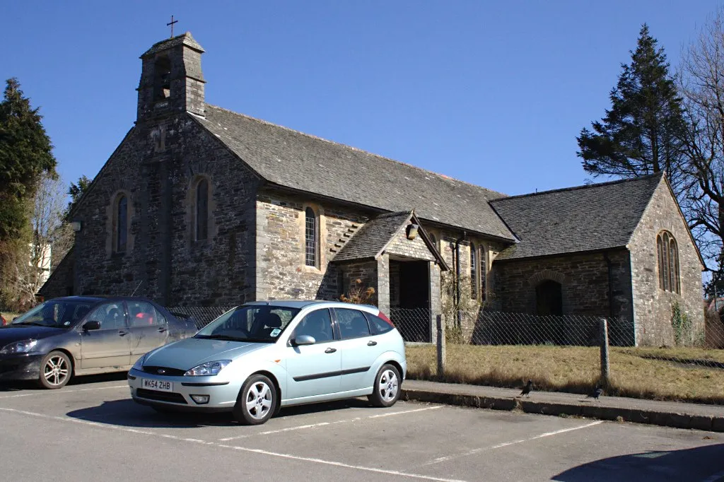
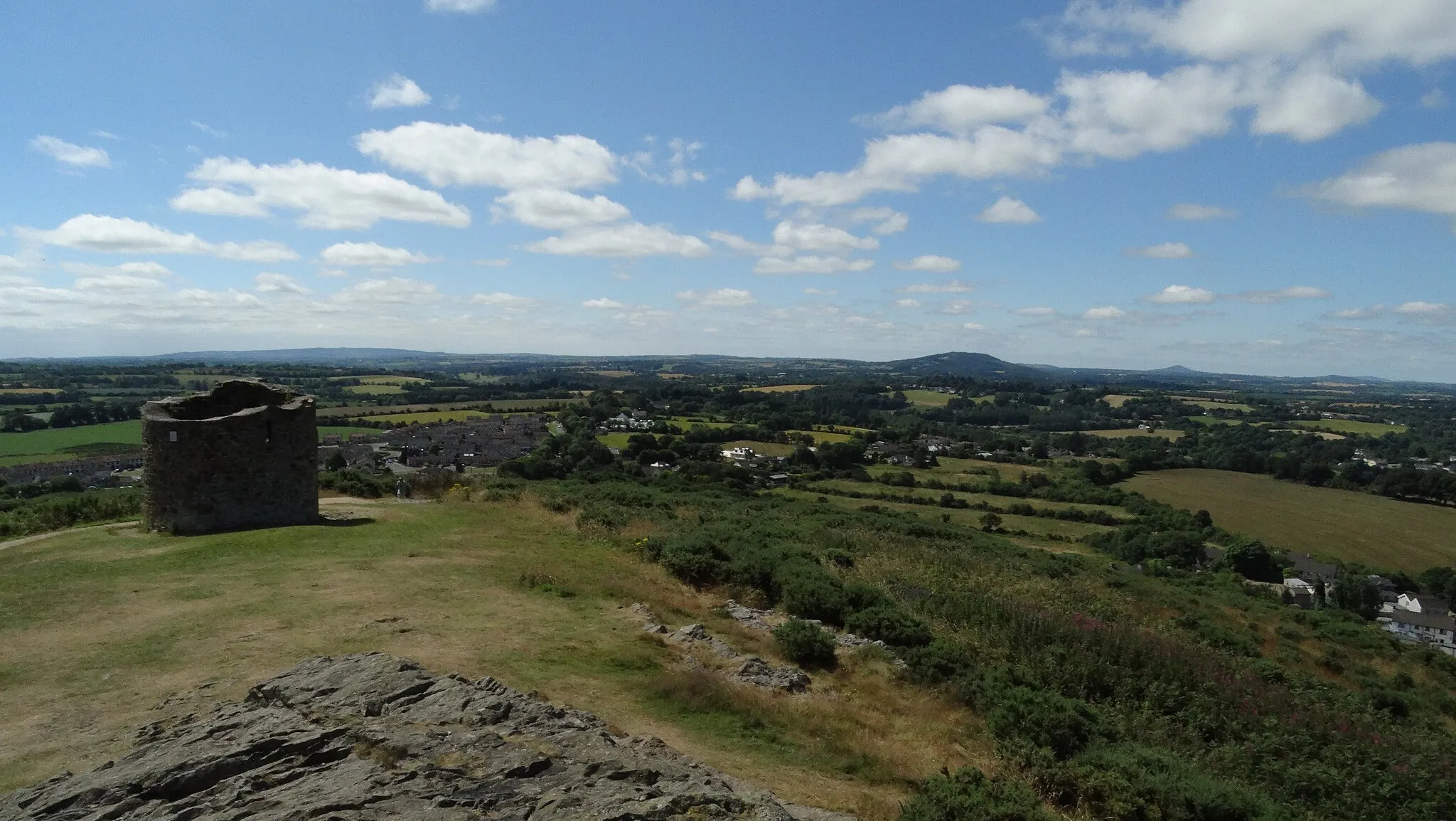
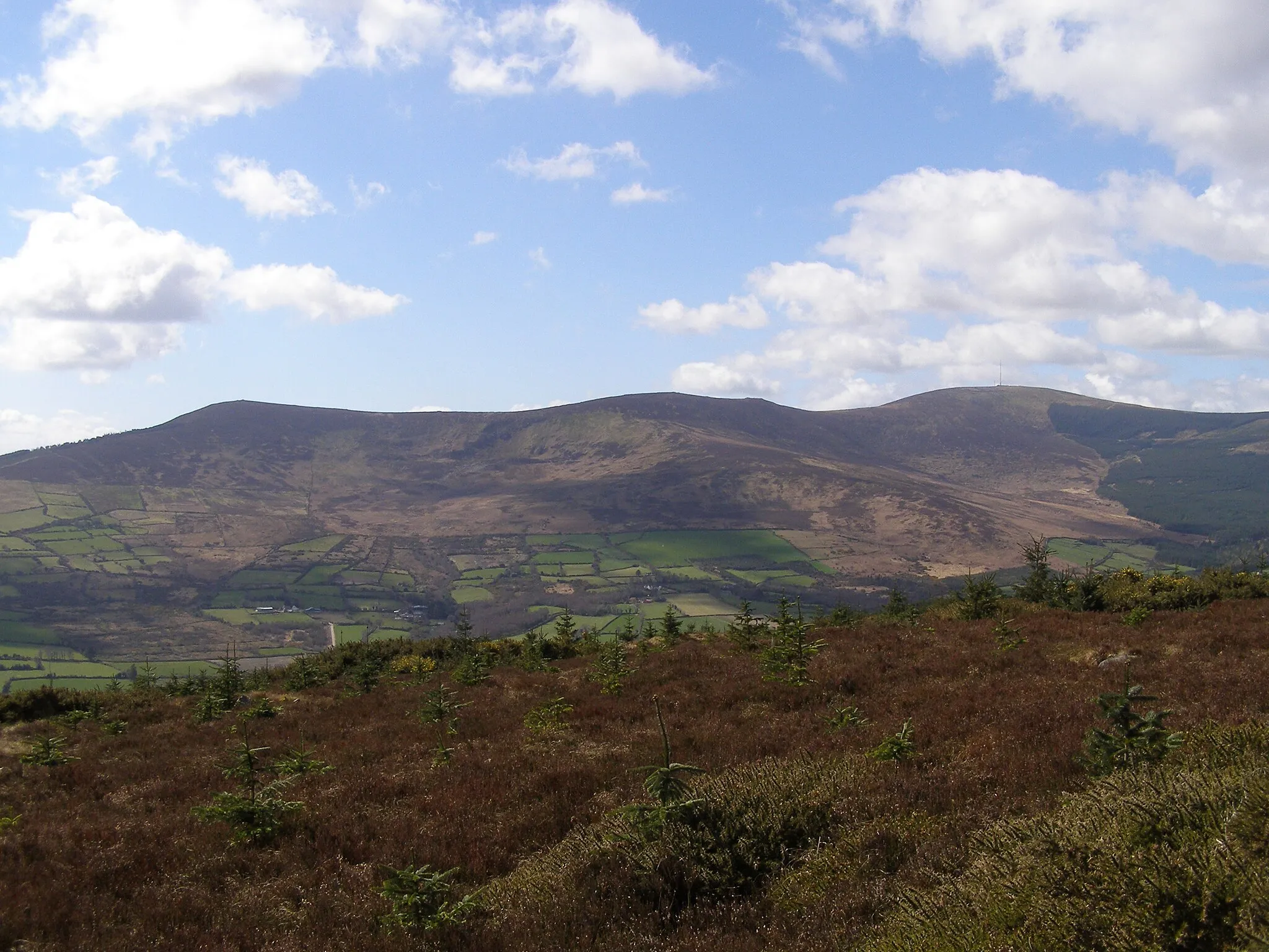
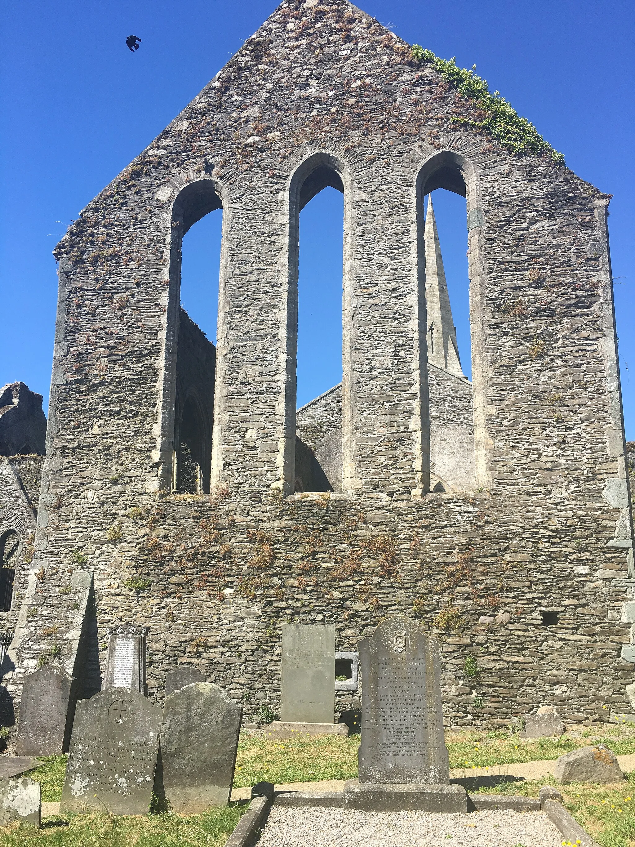
Enniscorthy, located in Southern Ireland, is a great locality for cyclists looking to explore the beautiful Irish countryside. With its charming rural roads, rolling hills, and scenic landscapes, Enniscorthy offers a relaxing and enjoyable cycling experience. Cyclists can also visit Vinegar Hill, a well-known hill climb near the town that offers stunning views at the top. With its welcoming atmosphere and friendly cycling community, Enniscorthy is a popular destination for cyclists of all levels.
Enjoy a scenic ride through the picturesque countryside of County Wexford
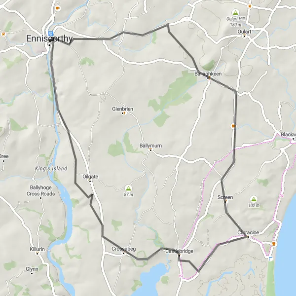
This road cycling route takes you from Enniscorthy to Oilgate, covering a distance of 50 kilometers with an ascent of 405 meters. The route offers a mix of rolling terrain and scenic countryside views. Highlights include the historic town of Enniscorthy, Vinegar Hill, Ballaghkeen, and Castlebridge. This route is suitable for cyclists of all levels looking for a leisurely ride through beautiful landscapes.
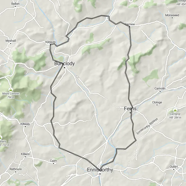
Embark on an adventurous cycling journey
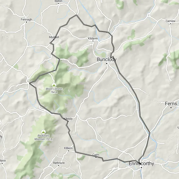
Embark on an adventurous cycling journey through the enchanting landscapes near Enniscorthy. This route covers a distance of 78 kilometers and features an elevation gain of 933 meters. Highlights along the way include Kiltealy, Croaghaun, Myshall, Clonegal, Ballycarney, and Enniscorthy.
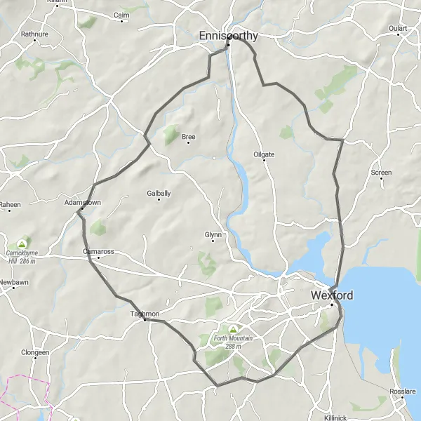
Embark on an adventurous journey from Enniscorthy to the charming village of Adamstown
This road cycling route takes you from Enniscorthy to Adamstown, covering a distance of 73 kilometers with an ascent of 592 meters. The route passes through picturesque landscapes and explores the scenic countryside of County Wexford. Highlights include the historic town of Enniscorthy, Vinegar Hill, and the charming village of Murrintown. This route is suitable for intermediate level cyclists looking for a mix of challenging climbs and scenic views.
Conquer the challenging ascent of Forth Mountain and enjoy panoramic views of County Wexford
Embark on this road cycling route from Enniscorthy to Forth Mountain, covering a distance of 83 kilometers with an ascent of 697 meters. The highlight of this route is the ascent of Forth Mountain, a challenging climb that rewards you with breathtaking views of the surrounding countryside. The route also takes you through the historic town of Enniscorthy and past Vinegar Hill, a significant site in Irish history. This route is recommended for experienced cyclists looking for a challenging and rewarding ride.
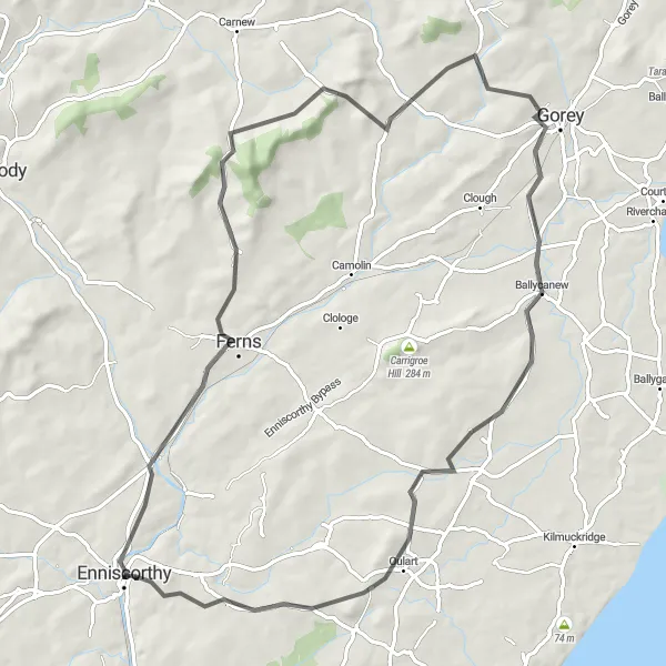
Experience challenging climbs and breathtaking views on this road cycling route
Embark on this road cycling adventure from Enniscorthy to Oulart Hill, covering a distance of 76 kilometers with an ascent of 878 meters. The route takes you through the scenic countryside of County Wexford, offering challenging climbs and rewarding descents. Highlights of the route include the historic village of Ferns, Slievegower, Craanford, and Gorey Hill. This route is recommended for experienced cyclists looking for a challenging and rewarding ride.
Enniscorthy Tour
Experience the beauty of Oulart and Vinegar Hill
Experience the beauty of Enniscorthy and its surrounding areas on this captivating cycling tour. With a distance of 73 kilometers and an ascent of 735 meters, this route offers a moderate challenge for cyclists. Highlights along the way include Oulart, Vinegar Hill, Enniscorthy, Ferns, and Oulart Hill.
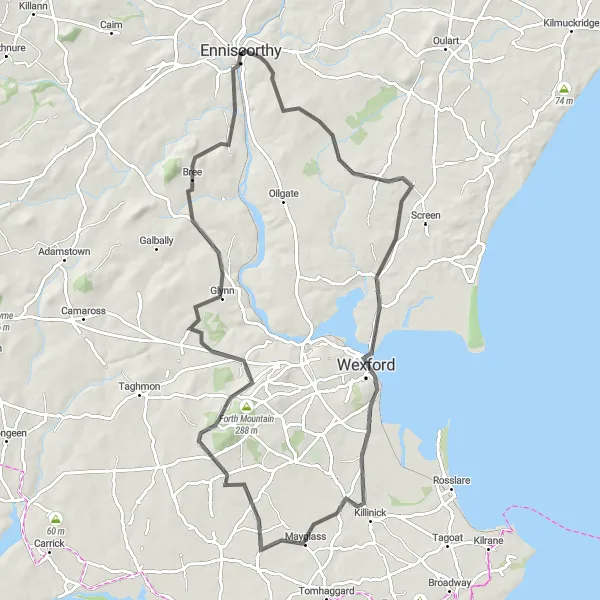
Enniscorthy to Kilmuckridge Loop
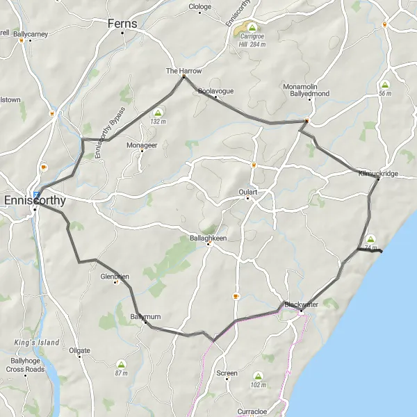
Experience the stunning coastal scenery and charming villages of County Wexford
This road cycling route takes you on a scenic journey from Enniscorthy to Kilmuckridge and back. The route covers a distance of 59 kilometers and includes 543 meters of ascent. Along the way, you'll pass through the picturesque villages of Kilmuckridge, Blackwater, Ballymurn, and Vinegar Hill. The route offers a mix of rolling terrain and steady climbs, making it suitable for moderately experienced cyclists.
Journey to Ferns
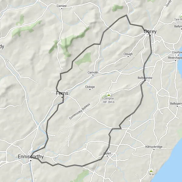
Discover the beauty of Ferns and its surroundings
Embark on a scenic cycling journey to Ferns, a historic village nestled in the heart of County Wexford. This route covers a distance of 73 kilometers and features a challenging ascent of 878 meters. Along the way, you'll encounter highlights such as Bunclody, Clonegal, Carnew, Ferns, Vinegar Hill, and Enniscorthy.
Embark on a scenic journey around Enniscorthy
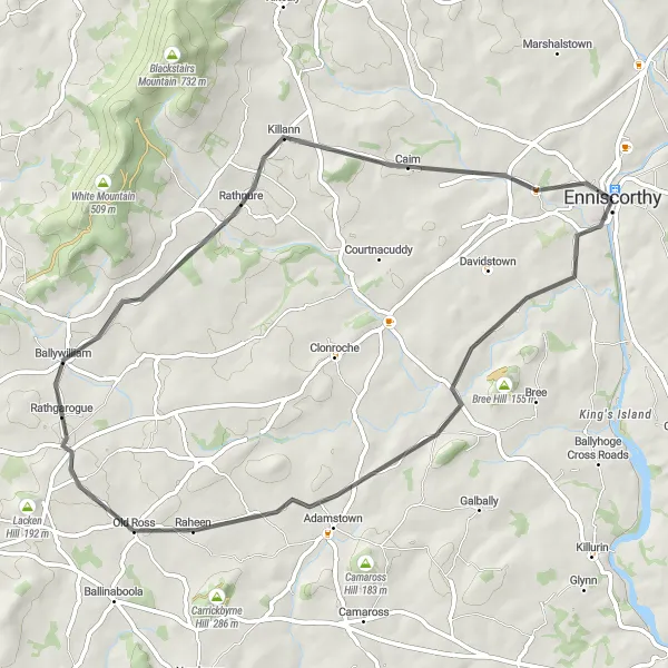
The Enniscorthy Loop is a picturesque cycling route that takes you on a journey through the stunning landscapes near Enniscorthy. With a distance of 57 kilometers and an elevation gain of 450 meters, this route offers a moderate challenge for cyclists. Along the way, you'll encounter highlights such as Raheennahoon Hill, Rathnure, and Enniscorthy.
Enniscorthy Grand Tour
Embark on a grand cycling tour of Enniscorthy and its surroundings
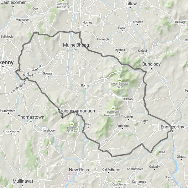
Embark on a grand cycling tour that takes you through the enchanting landscapes of Enniscorthy and its surrounding areas. With a distance of 142 kilometers and an elevation gain of 1651 meters, this route is perfect for experienced cyclists seeking a challenging adventure. Highlights along the way include Croaghaun, Enniscorthy, Ballywilliam, Tinnahinch Castle, Dunbell, Old Leighlin, and Ballymoon Castle.
Cycling routes nearby:


Nearby regions: