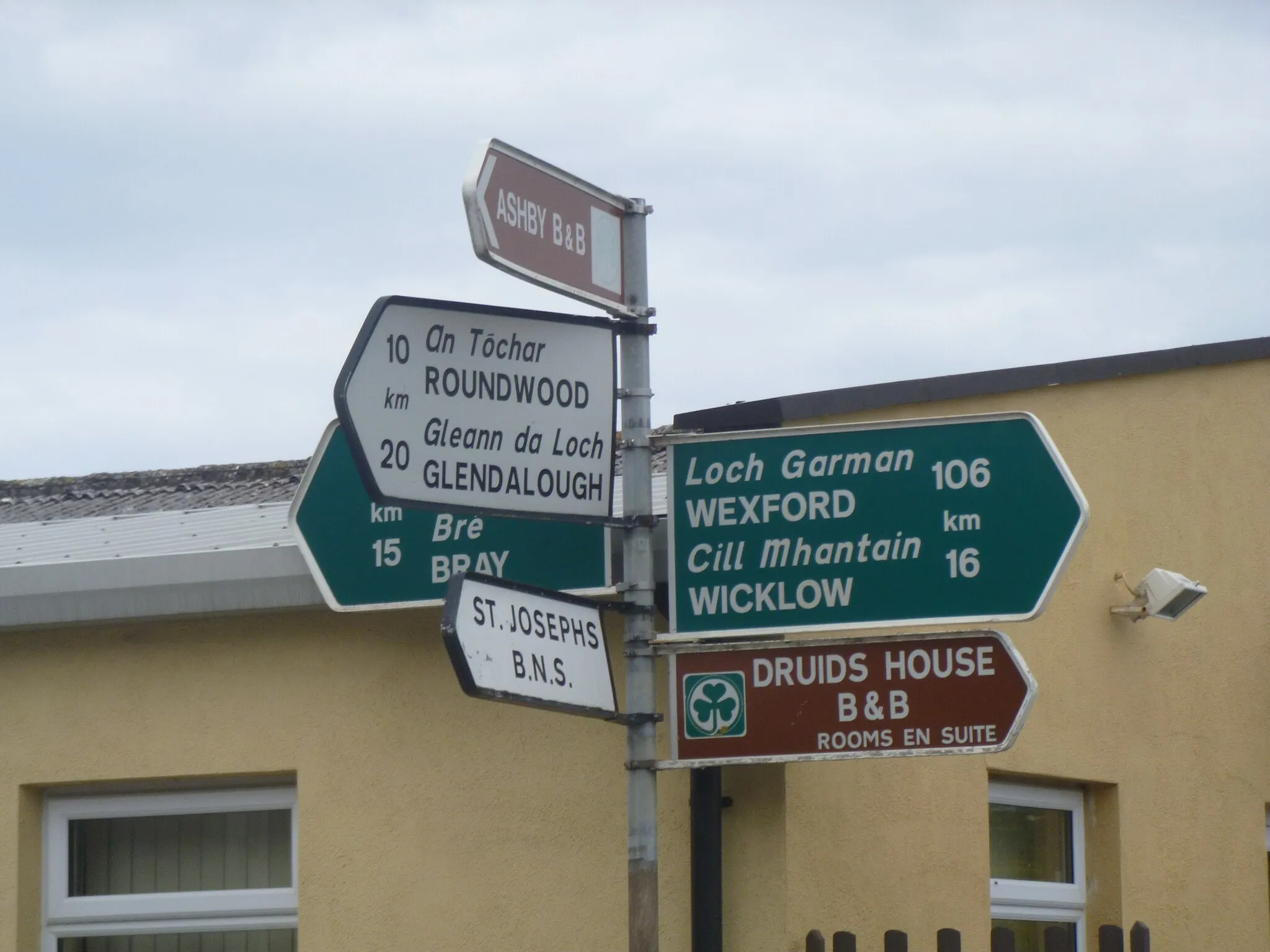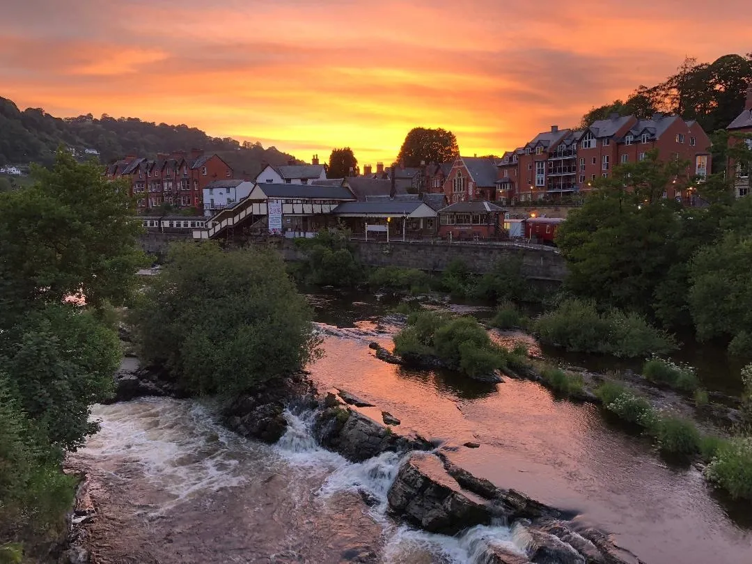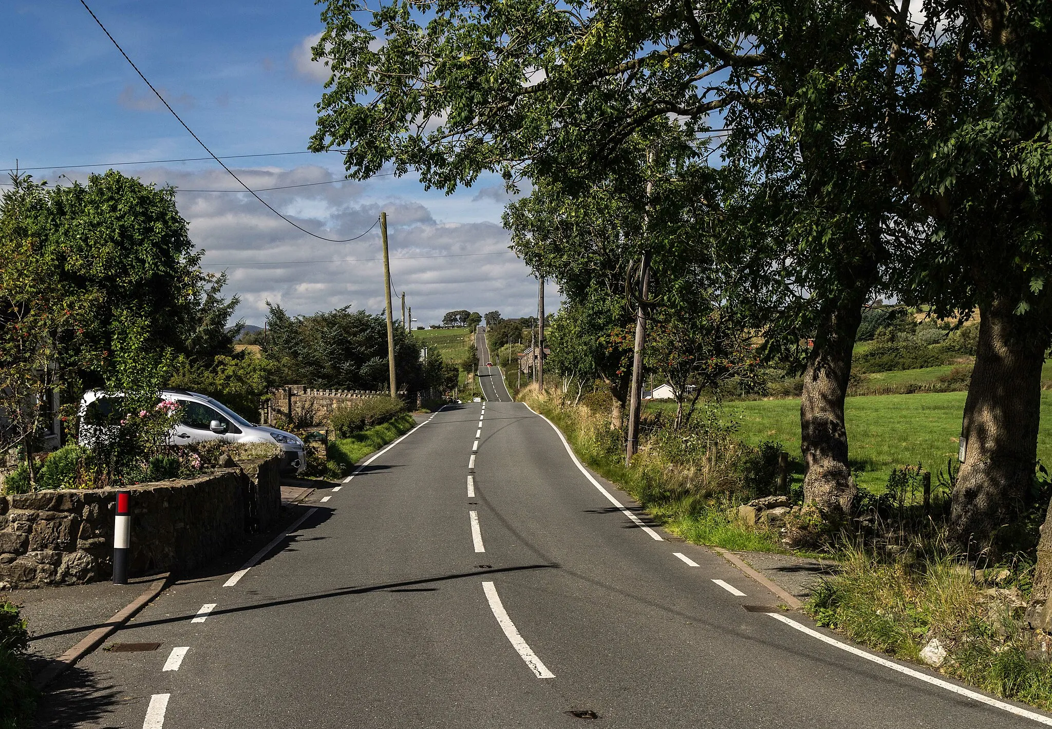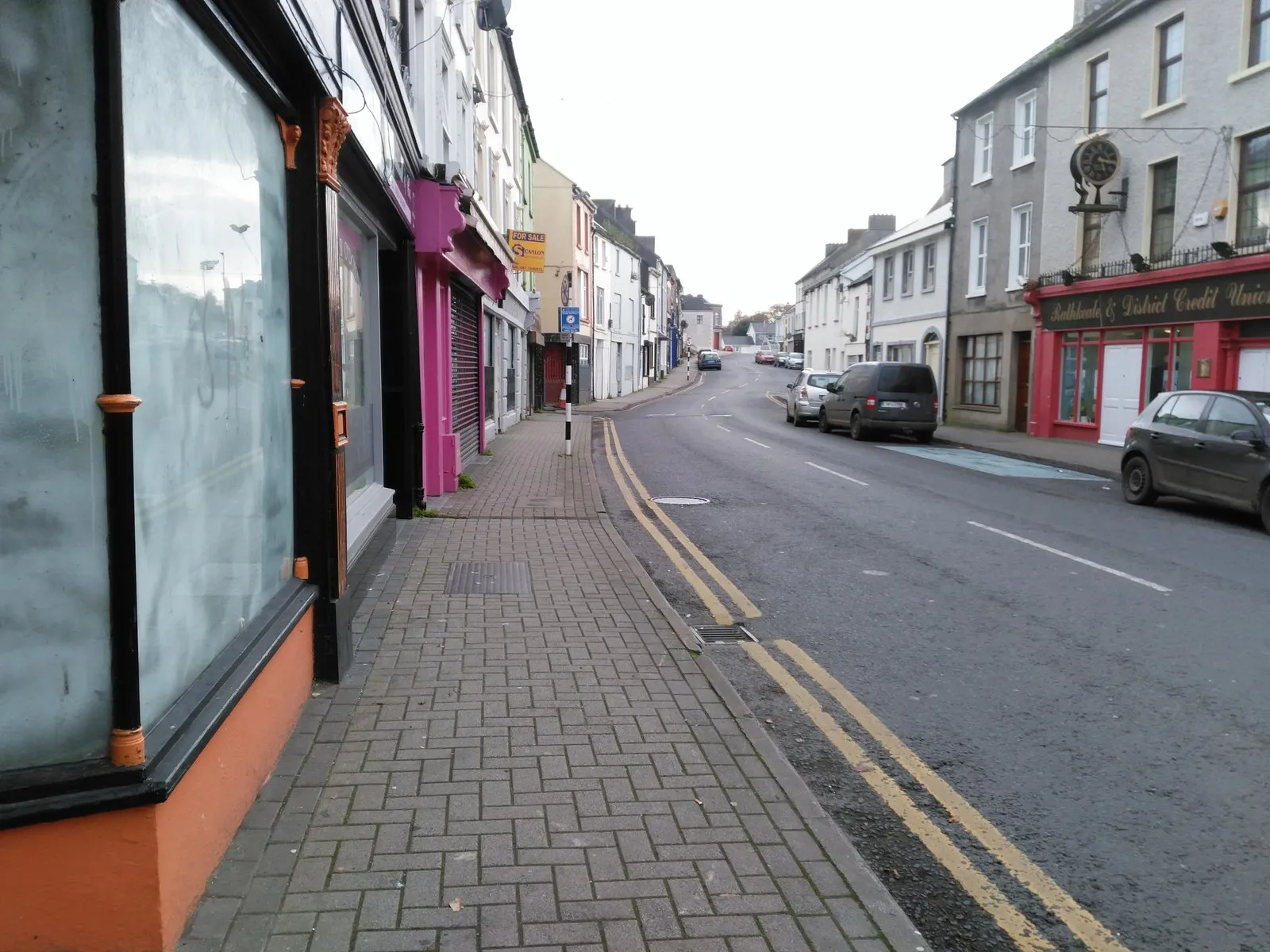
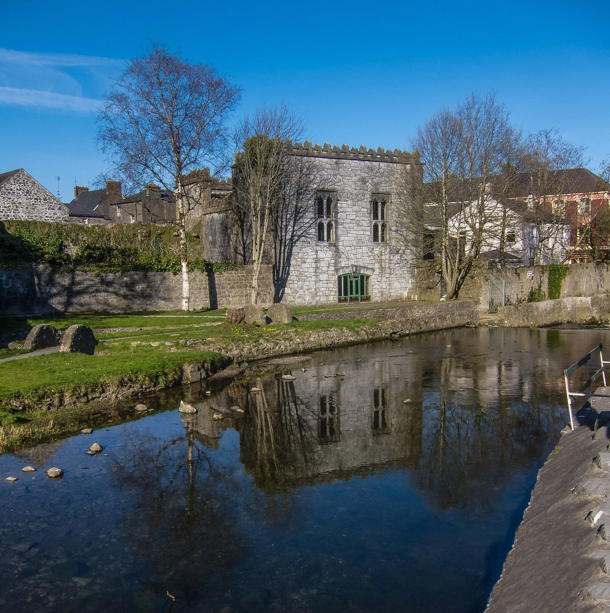
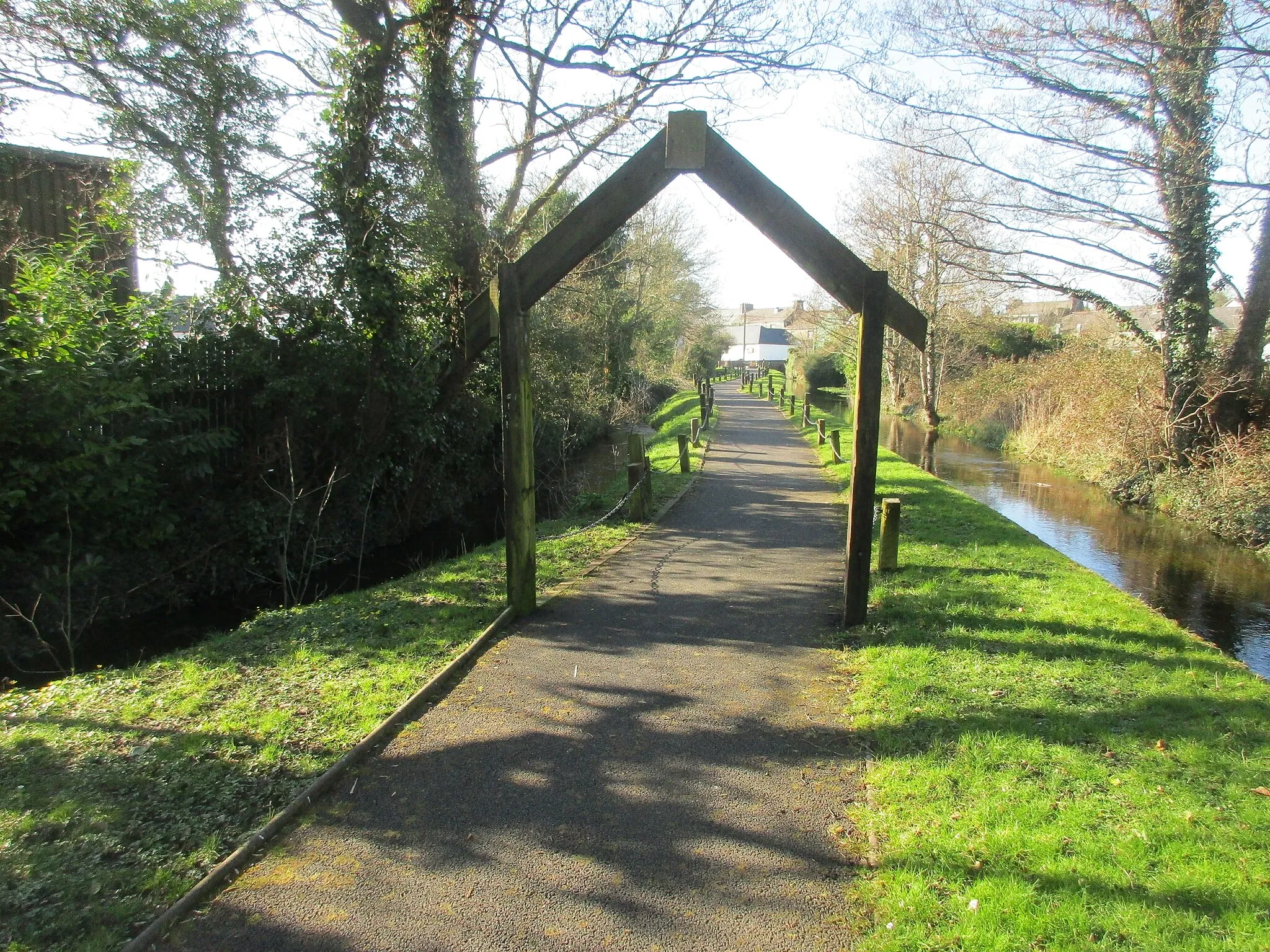
Rural and urban cycling experiences in Rathkeale.
Cycling routes from Rathkeale
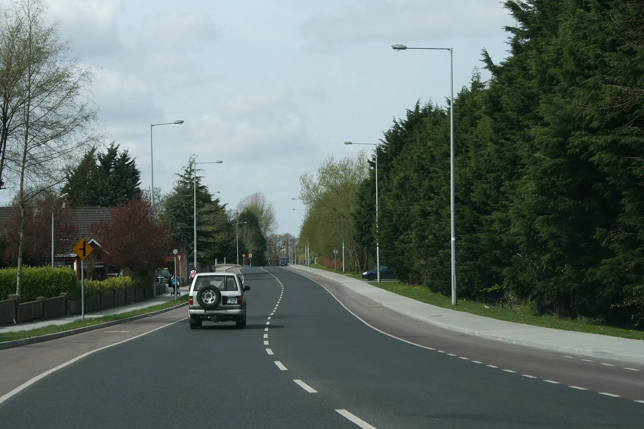
Rathkeale, located in Southern Ireland, offers a mix of rural and urban cycling experiences. As a road and gravel cyclist, you can explore the peaceful countryside surroundings of Rathkeale or cycle through the town's streets to discover its historic landmarks and cultural attractions. While there are no notable cycling-related spots or well-known climbs in the immediate vicinity of Rathkeale, the town serves as a good base for exploring the scenic backroads and country lanes of Southern Ireland. Overall, Rathkeale provides a pleasant cycling experience with a blend of rural charm and urban exploration.
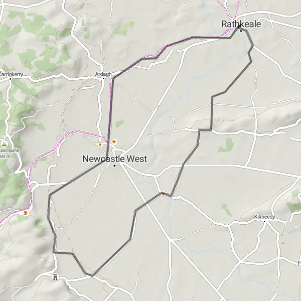
Experience the charm of Newcastle West on this road cycling route.
Discover the charm of Newcastle West on this road cycling route. With a total ascent of 182m over a distance of 47km, this loop offers a relatively easy ride. Pass through scenic countryside, charming villages, and historic landmarks. Experience the warm hospitality of the locals and immerse yourself in the rich heritage of the region. Suitable for well-trained amateurs.
Mahoonagh Loop
Discover the stunning Mahoonagh region on this road cycling route.
Explore the beautiful Mahoonagh region on this road cycling route. With a total ascent of 560m over a distance of 75km, this loop offers a challenging but rewarding ride. Experience picturesque countryside, scenic views, and charming villages along the way. Suitable for well-trained amateurs.
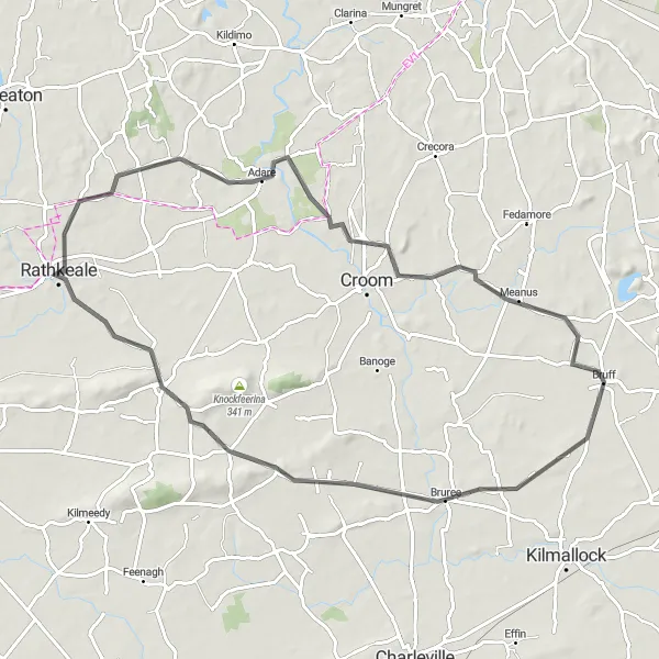
Discover the wonders of Adare and its surrounding areas.
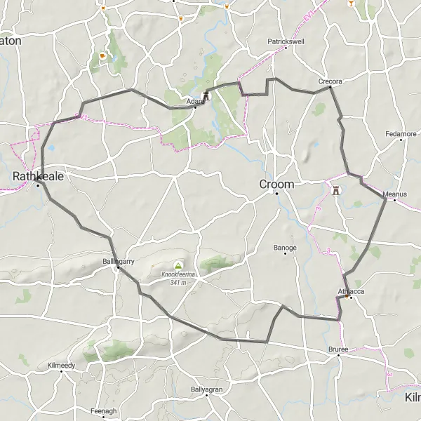
The Adare Adventure is a 74 km road cycling route with an ascent of 329 meters. Suitable for well-trained amateur cyclists, this route offers a moderate level of difficulty. Starting in Adare, the route highlights include Monasteranenagh Abbey, Bruff, Bruree, and Ballingarry, before looping back to Adare. Experience the charm of small villages, historic landmarks, and picturesque landscapes along the way. The Adare Adventure provides an ideal opportunity to explore the cultural and natural beauty of Southern Ireland on two wheels.
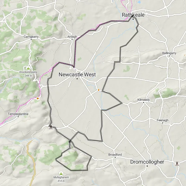
Embark on an adventurous road cycling journey through Ballingarry and Mahoonagh.
The Ballingarry Circuit covers a distance of 89 km with a challenging ascent of 791 meters. This road cycling route is suitable for experienced amateur cyclists who enjoy a demanding ride. Starting in Ballingarry, the route takes you through the beautiful countryside, passing through highlights such as Mahoonagh and ending back in Rathkeale. Along the way, you will encounter breathtaking landscapes, challenging terrains, and scenic views. The Ballingarry Circuit is an epic cycling adventure that will provide you with a sense of accomplishment and a chance to explore the natural beauty of Southern Ireland.
Carrigkerry Loop
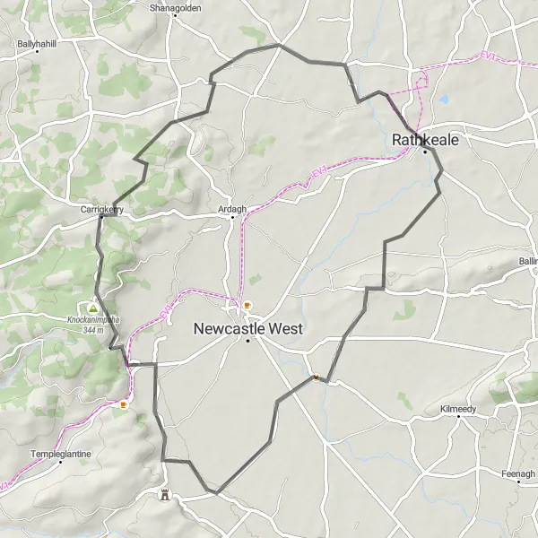
Explore the picturesque Carrigkerry region on this road cycling route.
Embark on a scenic journey through the picturesque Carrigkerry region on this road cycling route. With a total ascent of 447m over a distance of 62km, this loop offers a moderately challenging ride. Pass through rolling hills, charming villages, and tranquil landscapes. Enjoy the peaceful atmosphere and soak in the beauty of the surroundings. Suitable for well-trained amateurs.
Adare Loop
Experience the charm of Adare village on this road cycling route.
Cycle through the picturesque countryside and experience the charm of Adare village on this road cycling route. With a total ascent of 308m over a distance of 69km, this loop offers a moderately challenging ride. Admire the traditional thatched cottages, visit the historic Adare Castle, and enjoy the tranquil surroundings. Suitable for well-trained amateurs.
Test your limits and conquer the heights of Knockawarriga.
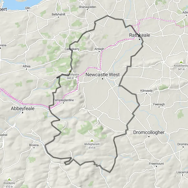
The Knockawarriga Challenge is a demanding road cycling route that covers a distance of 115 km with a total ascent of 1369 meters. It is suitable for experienced cyclists who enjoy conquering difficult terrains. Starting in Rathkeale, the route takes you through highlights such as Mahoonagh and Knockanimpaha, offering stunning views and challenging climbs. This route requires a high level of fitness and determination, but the rewards are worth it. Experience the exhilaration of reaching the top of Knockawarriga and enjoy breathtaking panoramic views of Southern Ireland. The Knockawarriga Challenge is a truly epic cycling adventure that will test your endurance and leave you with a sense of accomplishment.
A shorter road cycling route for a quick spin.
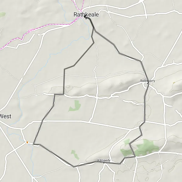
The Rathkeale Spin is a 39 km road cycling route with an ascent of 279 meters. With its moderate difficulty level, it is suitable for well-trained amateur riders looking for a shorter ride. Starting and ending in Rathkeale, the route passes through highlights such as Ballingarry and Mahoonagh. Enjoy scenic views, small villages, and quiet country roads as you explore the beauty of Southern Ireland. The Rathkeale Spin provides a satisfying cycling experience that can be completed in a shorter time frame.
Experience the scenic beauty of Rathkeale and surrounding areas on this road cycling route.
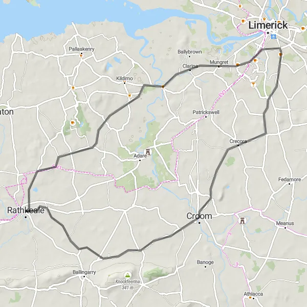
The Rathkeale Loop is a 66 km road cycling route that offers stunning views of the countryside. With a total ascent of 221 meters, it is suitable for well-trained amateur cyclists. The route starts in Rathkeale and passes through notable highlights such as Dooradoyle, Crecora, and Croom. Along the way, you will have the opportunity to explore charming villages, historic landmarks, and picturesque landscapes. The Rathkeale Loop is a moderately challenging route that provides a memorable cycling experience in Southern Ireland.
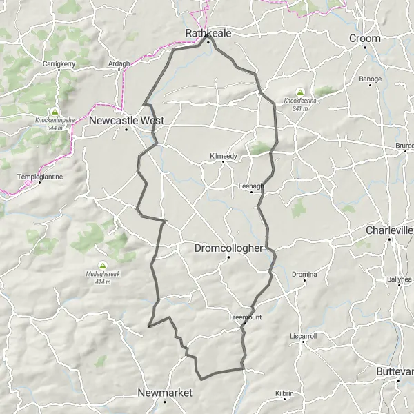
Liscarroll Loop
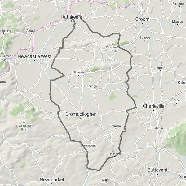
Experience the beauty of Liscarroll on this road cycling route.
Discover the beauty of Liscarroll on this road cycling route. With a total ascent of 627m over a distance of 97km, this loop offers a challenging ride. Cycle through rolling hills, picturesque landscapes, and charming villages. Experience the warm hospitality of the locals and take in the breathtaking scenery. Suitable for well-trained amateurs.
Cycling routes nearby:

Nearby regions: