Cycling Adventures in Zola Predosa
Cycling routes from Zola Predosa
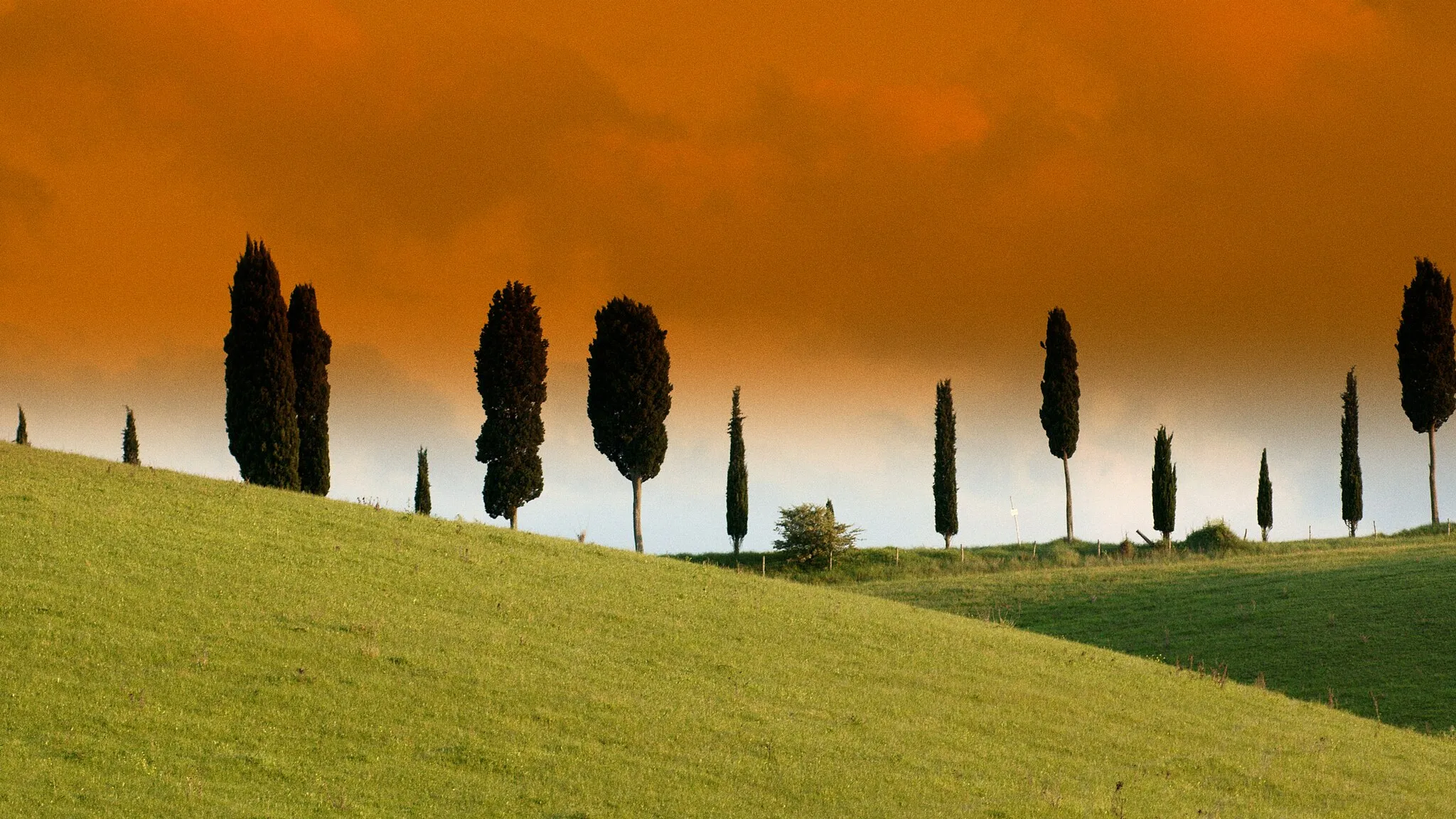
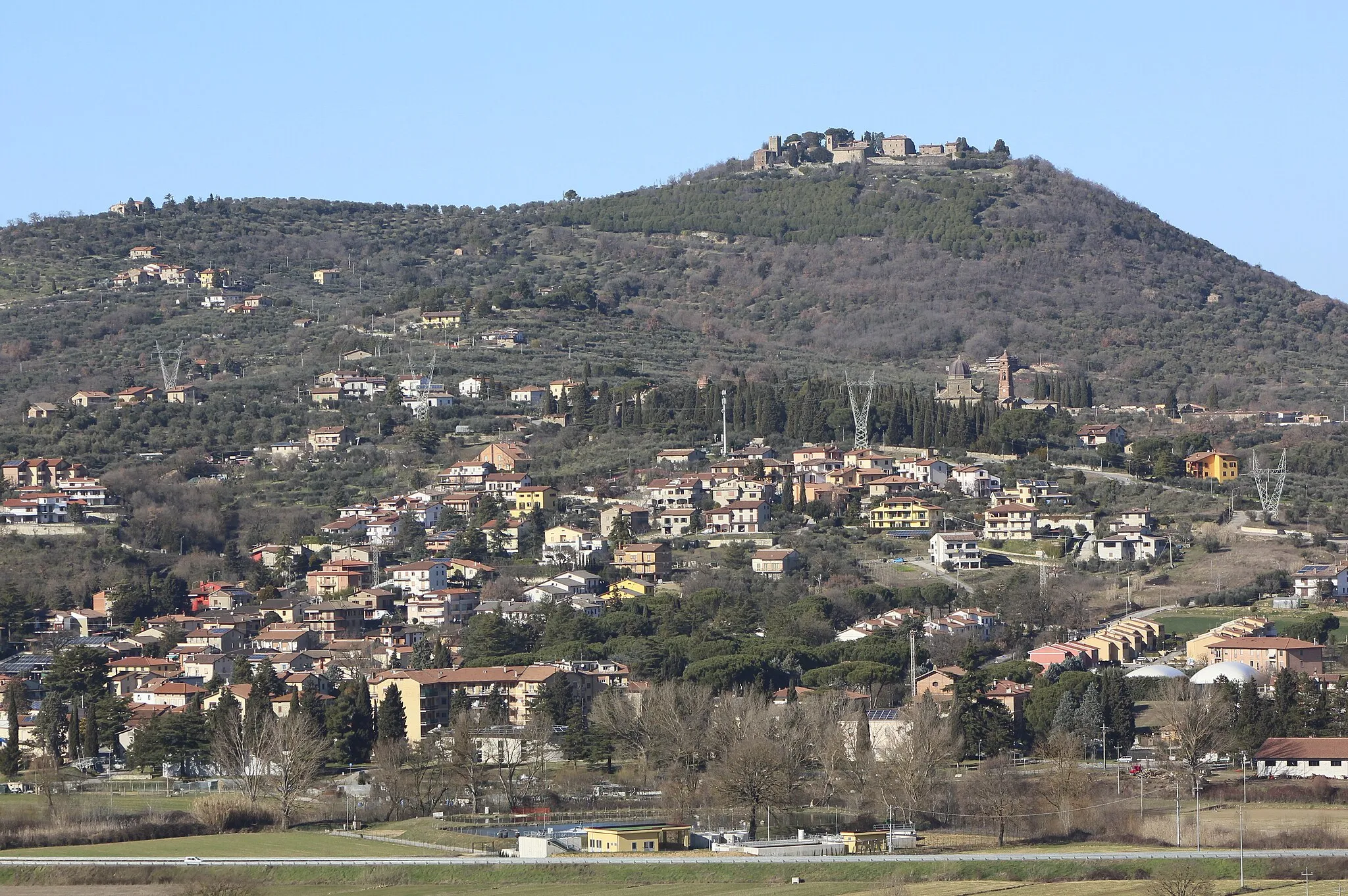
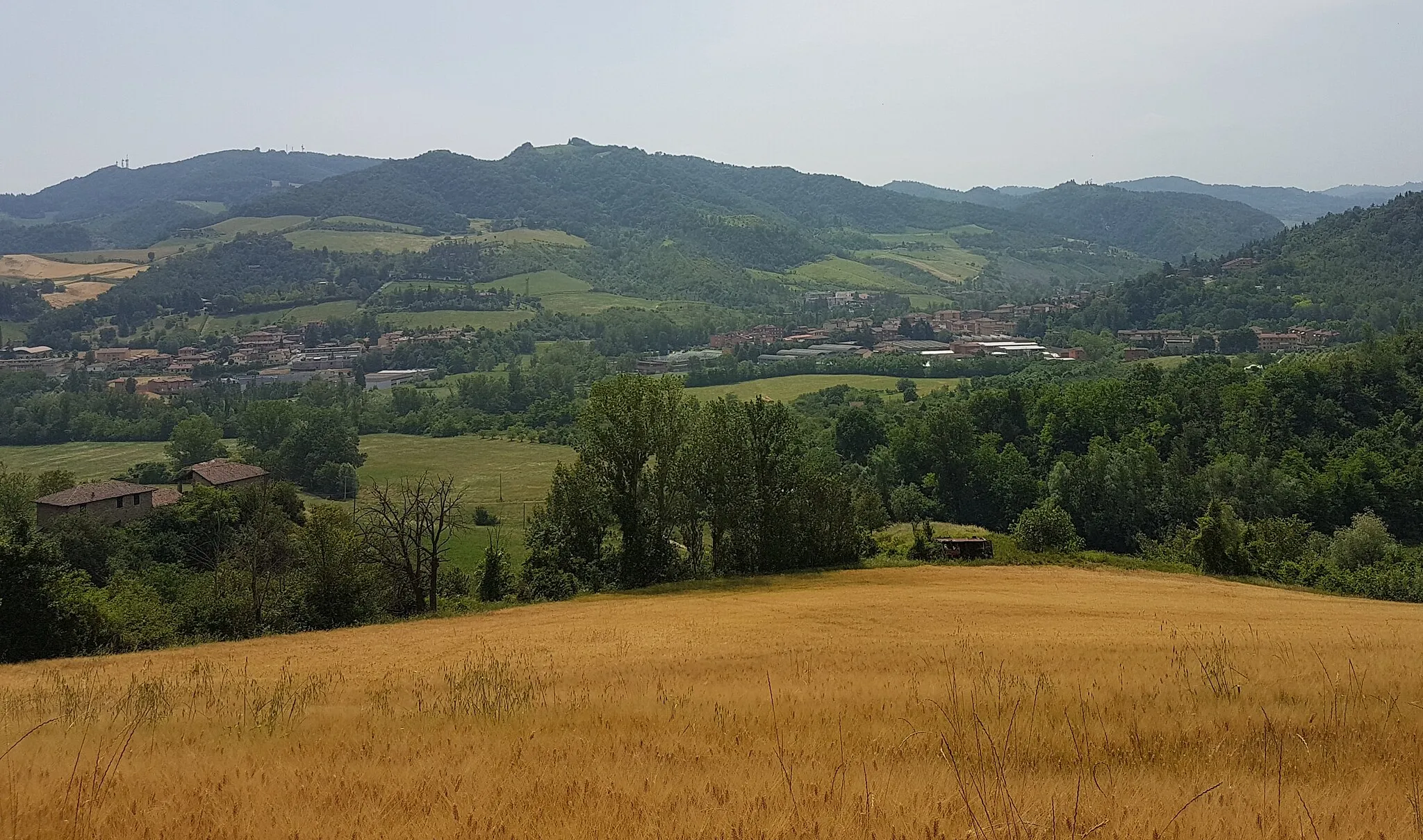
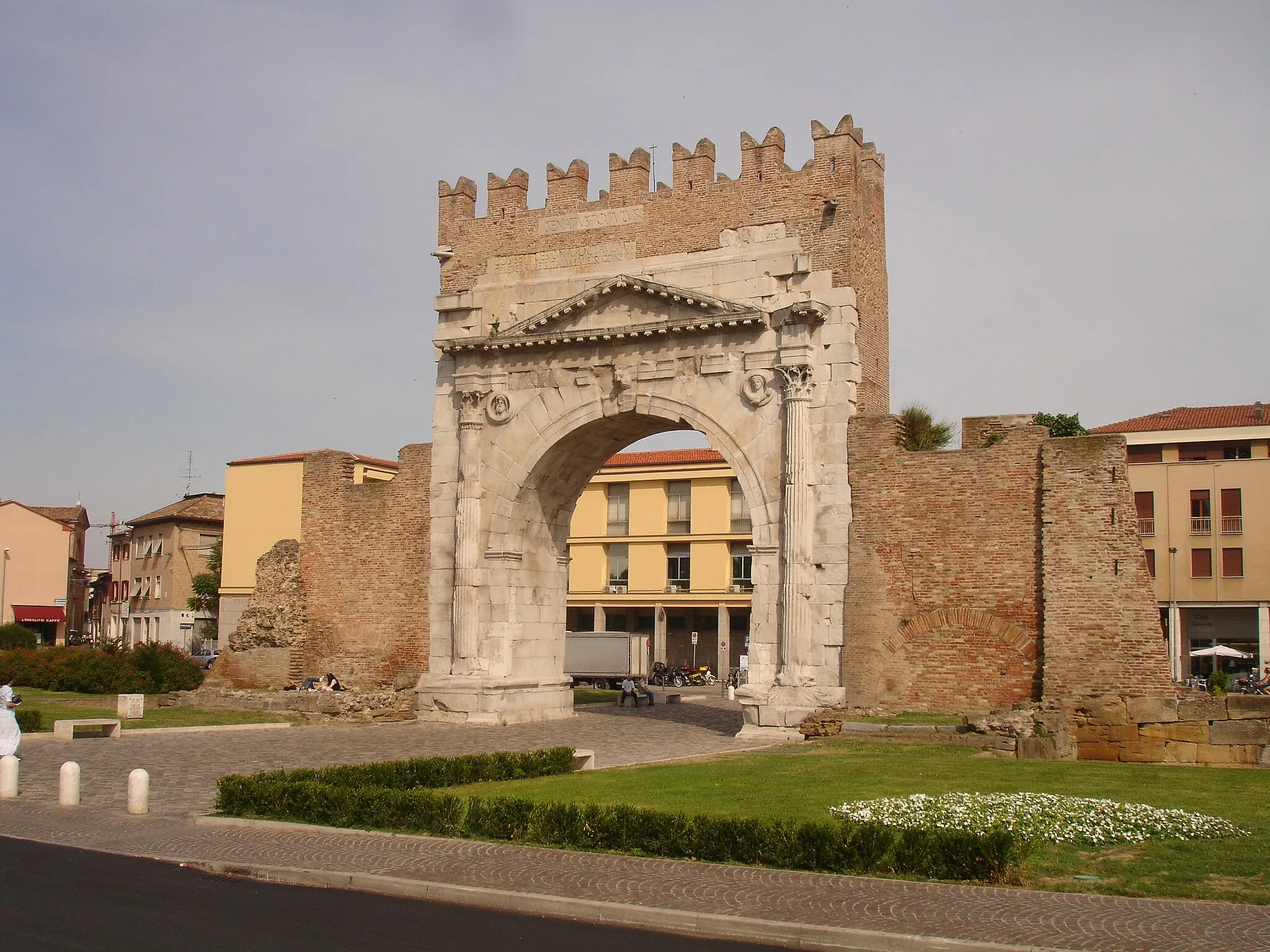
Zola Predosa, situated in the Emilia-Romagna region of Italy, offers great cycling opportunities with its hilly terrains and beautiful countryside. The area is known for its challenging climbs, including the famous Colle degli Oppi, which attracts cyclists seeking a demanding route. Zola Predosa is also home to cycling clubs and events, contributing to a vibrant cycling scene. The town itself provides various amenities for cyclists, such as bike shops, cafes, and accommodation options. Additionally, Zola Predosa is conveniently located near Bologna, allowing cyclists to explore both urban and rural landscapes. With its cycling-friendly infrastructure and proximity to notable climbs, Zola Predosa is a highly recommended destination for road and gravel cyclists.
The Mountain Majesty
Conquer the epic mountain climbs of Bologna
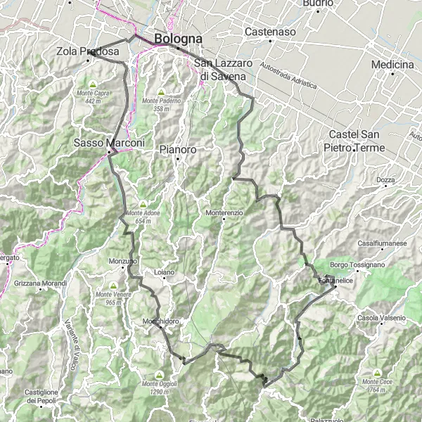
The Mountain Majesty is an epic road cycling route that takes you through some of the most challenging mountain climbs near Zola Predosa. With a total distance of 149km and an ascent of 2899m, this route is only suitable for experienced and well-trained cyclists. Highlights along the route include Bologna, Torre Azzoguidi, Monte Armato, Monte la Pieve, Castel del Rio, Il Castellaccio, Monte Cucco, Monte Canda, Monghidoro, Monzuno, Monterumici, Sella di Monte Mario, Sasso Marconi, and Casalecchio di Reno.
Conquer the challenging roads around Zola Predosa on this epic 88-kilometer route
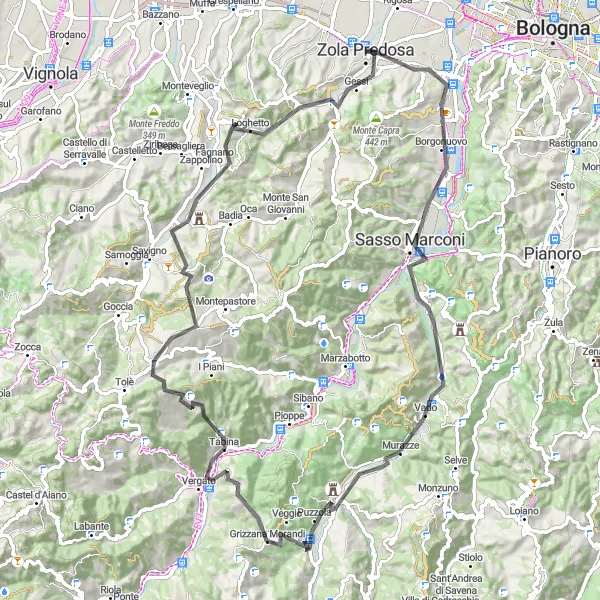
This road cycling route near Zola Predosa covers a distance of 88 kilometers with an elevation gain of 1569 meters. The route takes you through Casalecchio di Reno, Sella di Monte Mario, Grizzana Morandi, Vergato, Monte Nonascoso, Calderino, and Monte Malgotto. With its high level of ascent and challenging terrain, this route is suited for well-trained amateur cyclists looking for a demanding ride. The epicness of this route is rated 4 out of 5, promising an unforgettable cycling experience. Enjoy the breathtaking views, picturesque villages, and thrilling descents along the way.
Discover the scenic countryside around Zola Predosa on this delightful 50-kilometer loop
This picturesque road loop near Zola Predosa covers a distance of 50 kilometers with an elevation gain of 710 meters. The route takes you through Monte Malgotto, Calderino, Savigno, Punto panoramico, Monteveglio, Crespellano, and Zola Predosa. Suitable for intermediate-level cyclists, this route offers picturesque countryside vistas and charming Italian towns along the way. With an epicness rating of 2 out of 5, this route provides a pleasant and leisurely cycling experience. Enjoy the tranquility of the countryside and soak in the beauty of Emilia-Romagna's landscapes.
Test your limits on this challenging 109-kilometer route near Zola Predosa
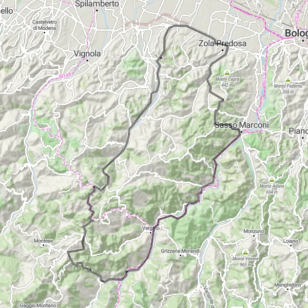
This challenging road cycling route near Zola Predosa covers a distance of 109 kilometers with an elevation gain of 2061 meters. The route takes you through Monte Torrone, Sasso Marconi, Marzabotto, Colle Guarda, Vergato, Castel d'Aiano, Monte San Giacomo, Savigno, Monte Specchio, and Zola Predosa. With its long climbs, steep ascents, and thrilling descents, this route is recommended for experienced cyclists seeking a demanding challenge. The epicness of this route is rated 5 out of 5, as it includes legendary climbs and famous cycling spots. Immerse yourself in the spectacular beauty of Emilia-Romagna's mountainous landscapes as you conquer this route.
The Monte Malgotto Challenge
Experience a thrilling ascent up Monte Malgotto
Embark on an exciting cycling adventure with the Monte Malgotto Challenge. This road cycling route near Zola Predosa offers a mix of rolling hills and a challenging climb up Monte Malgotto. Covering a distance of 67km with an ascent of 120m, this route is suitable for experienced amateur cyclists looking for a thrilling ride. Highlights along the route include Monte Malgotto itself, Zola Predosa, Calcara, Sant'Agata Bolognese, Bargellino, and Rigosa.
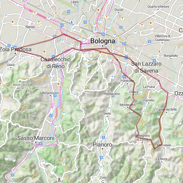
Embark on a thrilling gravel adventure through the hills near Bologna
The Hillside Adventure is a challenging gravel cycling route that explores the hilly terrain near Zola Predosa. Covering a distance of 59km with an ascent of 675m, this route is suitable for experienced gravel cyclists seeking a thrilling off-road journey. Highlights along the route include Bologna, Torre Azzoguidi, Torretta di osservazione, Monte Calvo, Ponticella, Villa Aldini, and Casalecchio di Reno.
The Forest Loop

Ride through picturesque countryside with stunning views
The Forest Loop is a scenic and challenging cycling route that takes you through the beautiful countryside near Zola Predosa. The route offers stunning views and a mix of road and gravel surfaces, making it suitable for gravel and adventure bikes. With a total distance of 91km and an ascent of 117m, this route provides a good challenge for well-trained amateur cyclists. Along the way, you'll pass through charming towns and villages such as Lavino di Mezzo, San Giovanni in Persiceto, Crevalcore, Bomporto, and San Cesario sul Panaro.
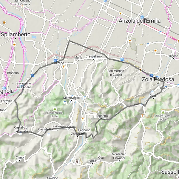
Immerse yourself in the rich cultural heritage of the area on this 50-kilometer road tour
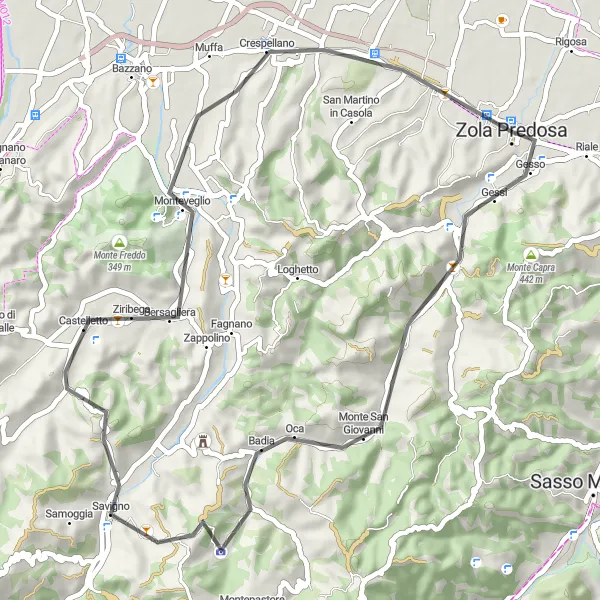
Embark on a cultural road tour near Zola Predosa that covers a distance of 50 kilometers with an elevation gain of 589 meters. The route takes you through Monte Malgotto, San Lorenzo in Collina, Monte Caverna, Castello di Serravalle, Savignano sul Panaro, Bazzano, and Zola Predosa. Perfect for cyclists with an interest in history and culture, this route features historic landmarks, ancient castles, and charming Italian towns. With an epicness rating of 2 out of 5, this route offers a diverse cultural exploration combined with scenic beauty. Discover the rich history of Emilia-Romagna as you pedal through its captivating landscapes.
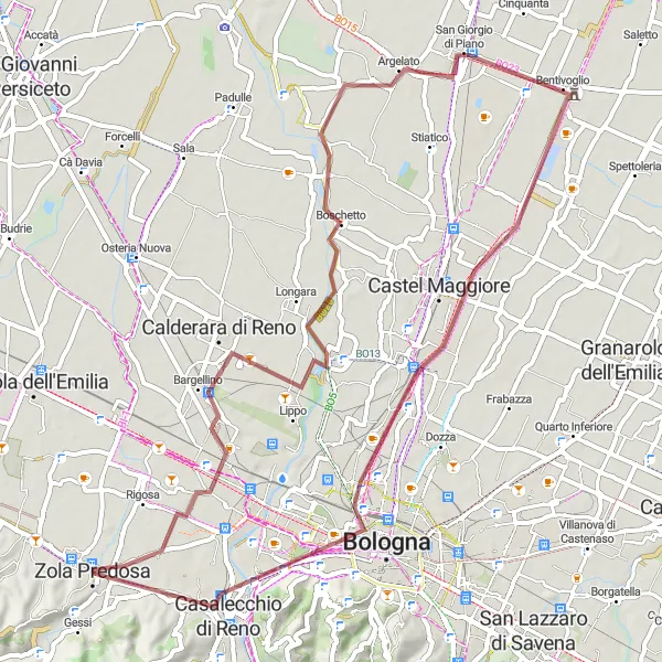
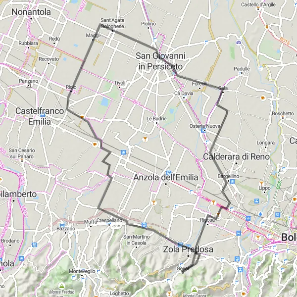
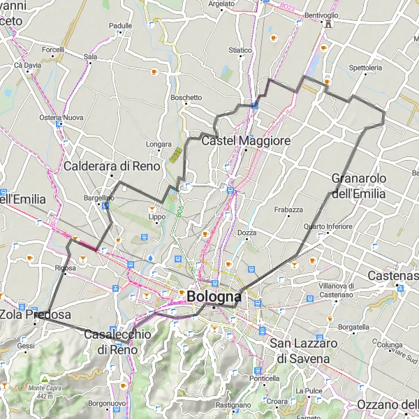
Explore the outskirts of Zola Predosa on this thrilling gravel adventure
Embark on a 65-kilometer gravel ride around Zola Predosa, taking you through Calderara di Reno, Argelato, Bentivoglio, Castel Maggiore, and Casalecchio di Reno. With an ascent of 138 meters, this route is suitable for well-trained amateurs seeking a moderate challenge. The epicness of this gravel ride is rated 3 out of 5, making it an exciting choice for riders looking to explore Emilia-Romagna's stunning landscape. This picturesque route offers the opportunity to immerse yourself in the region's diverse terrain and rural scenery.
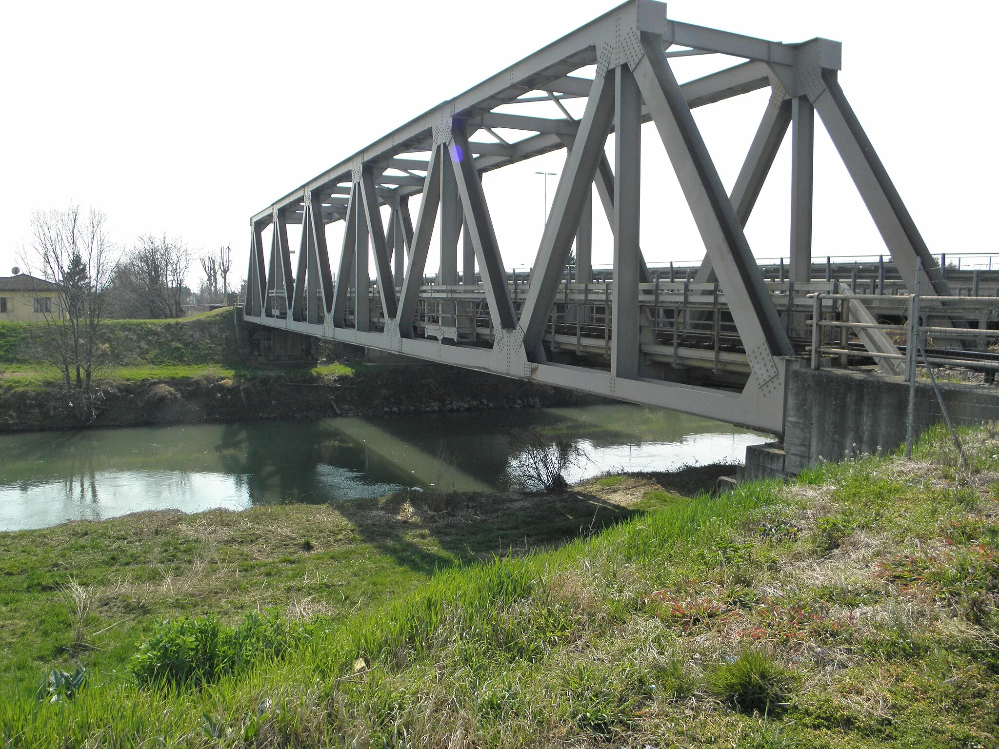
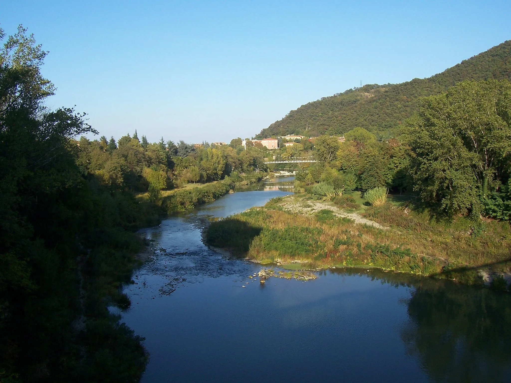
Follow the scenic path of the Reno River on this road cycling route
The Reno River Ride is a scenic road cycling route that follows the path of the Reno River near Zola Predosa. With a total distance of 63km and an ascent of 134m, this route offers a moderate challenge for well-trained amateur cyclists. Highlights along the route include Calderara di Reno, Villa Smeraldi, Giardini Margherita, Colle della Guardia, Casalecchio di Reno, and Zola Predosa.
Cycling routes nearby:


Nearby regions: