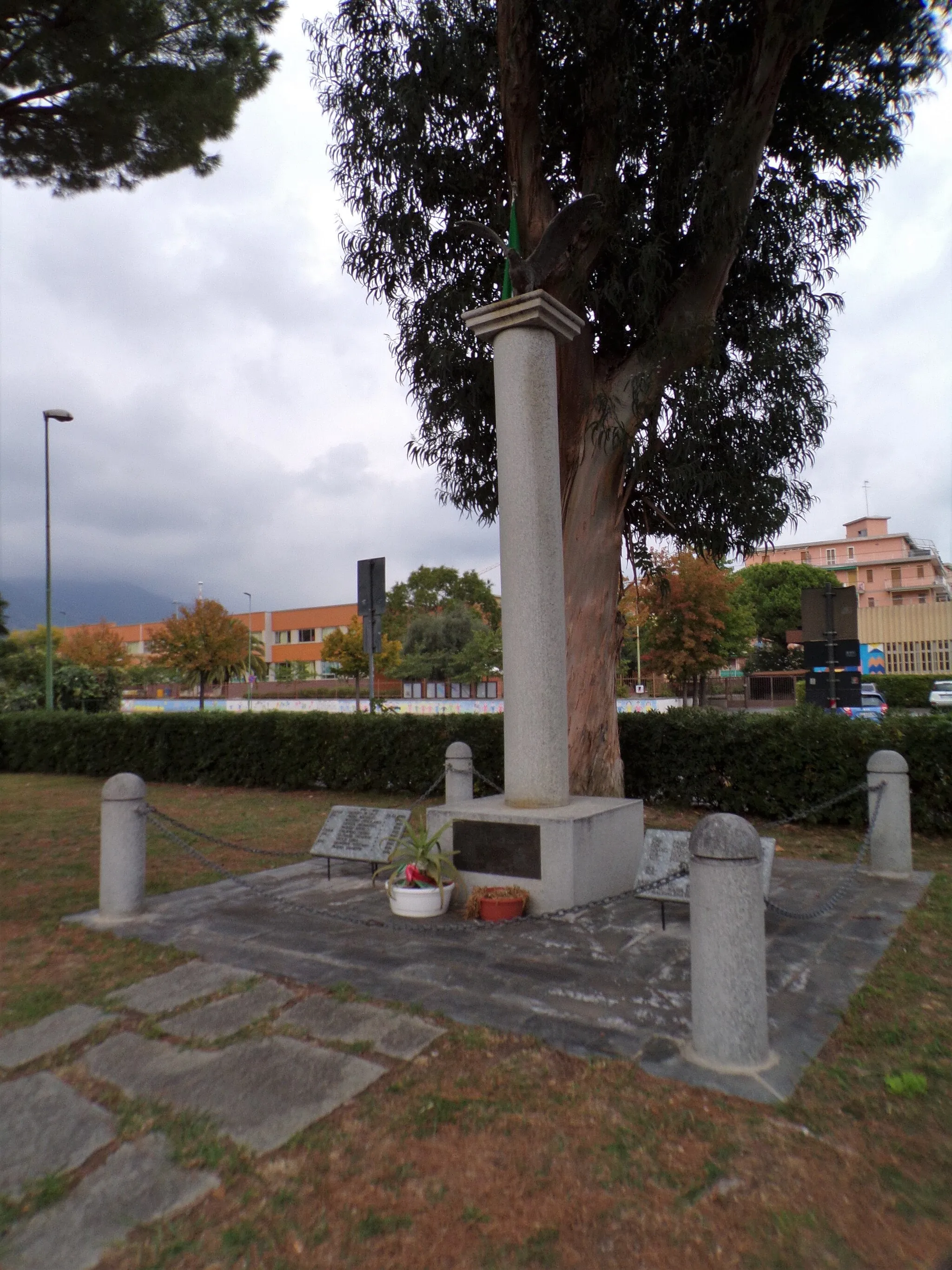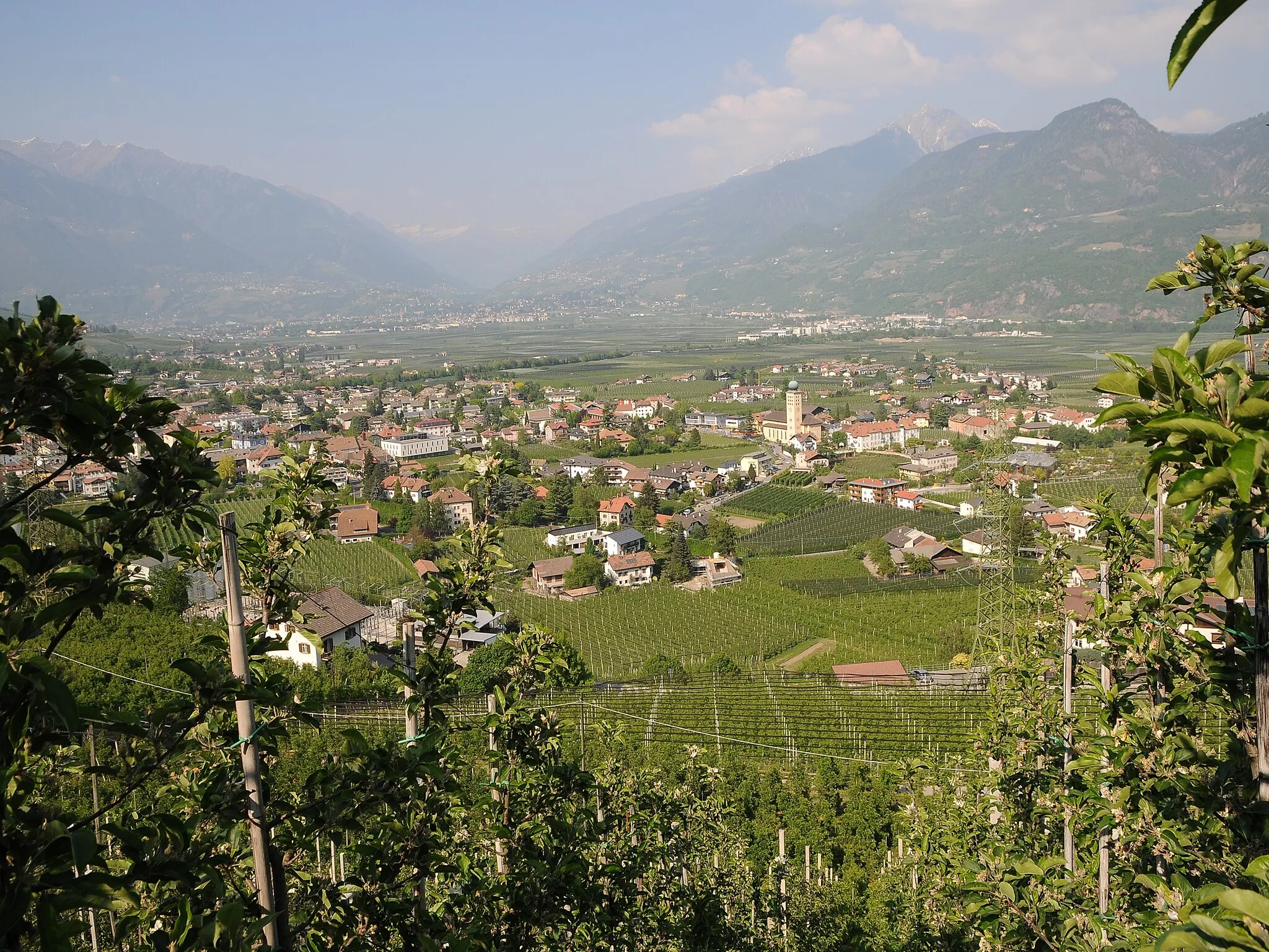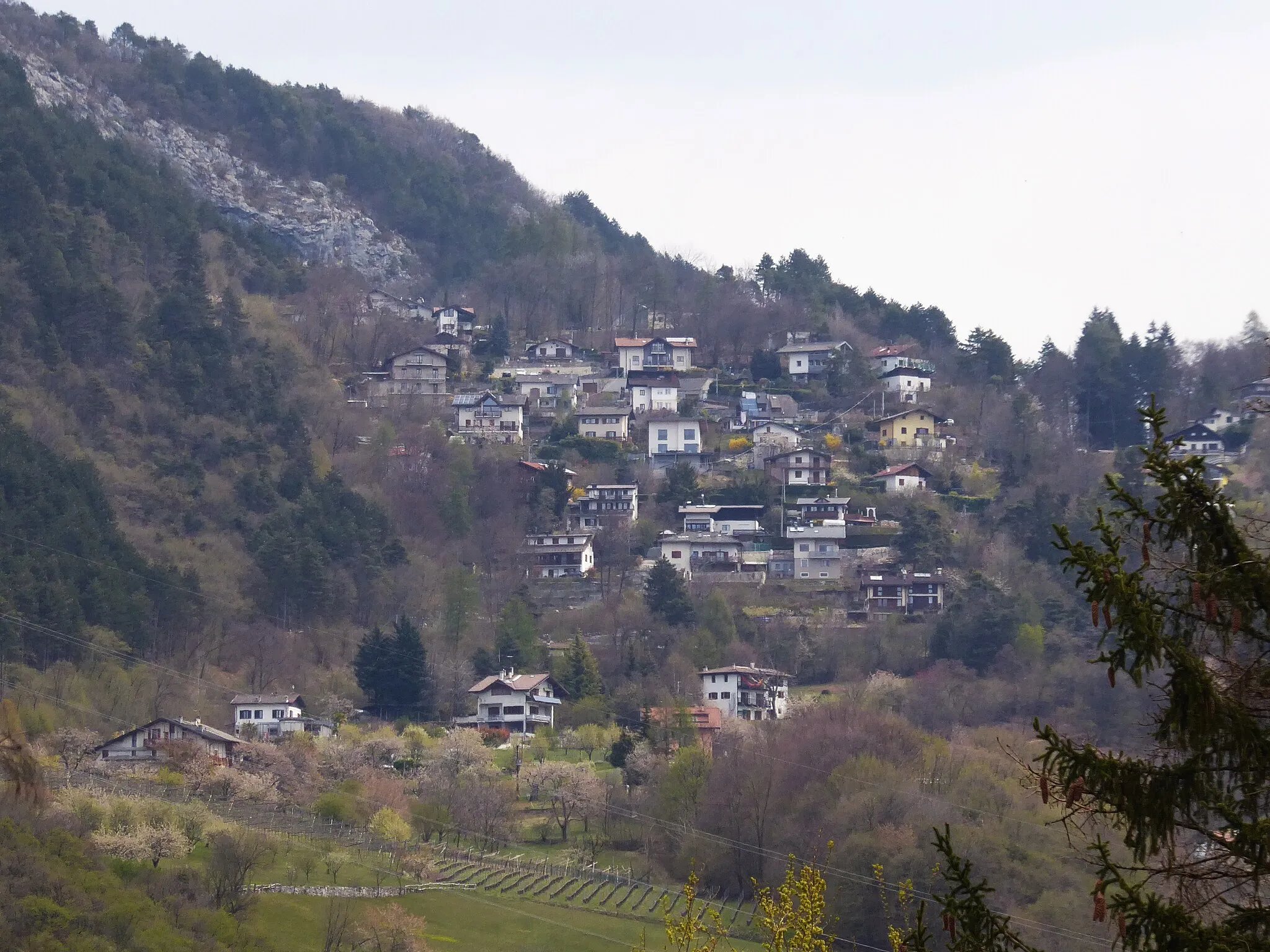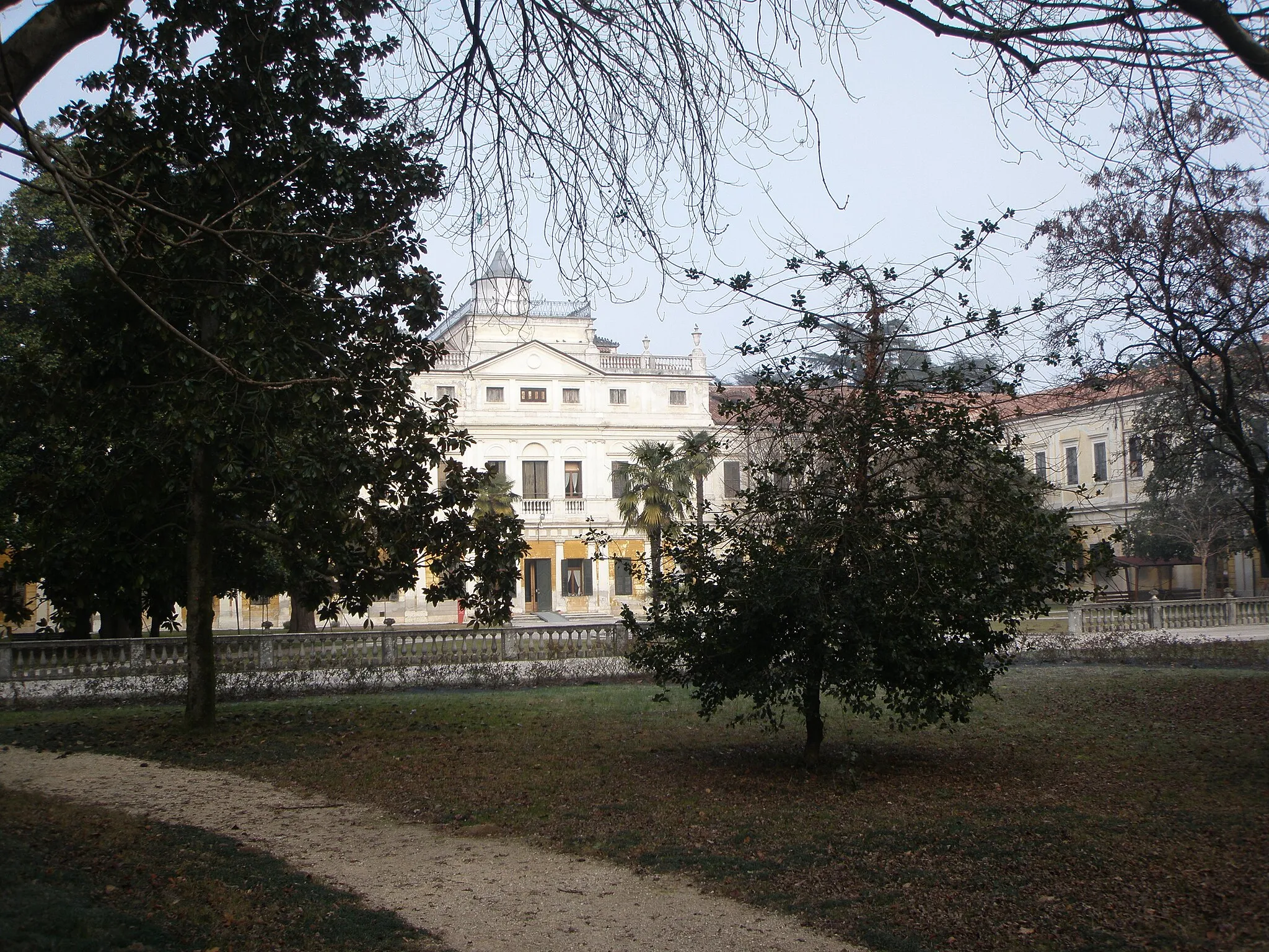
Cyclist-friendly locality with diverse cycling routes.
Cycling routes from Cantalupo
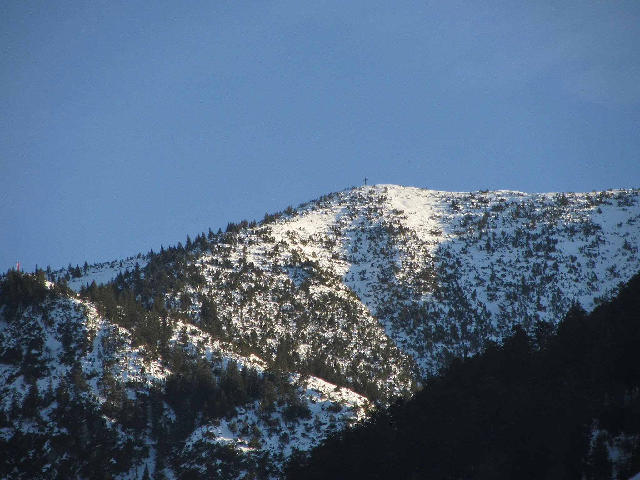
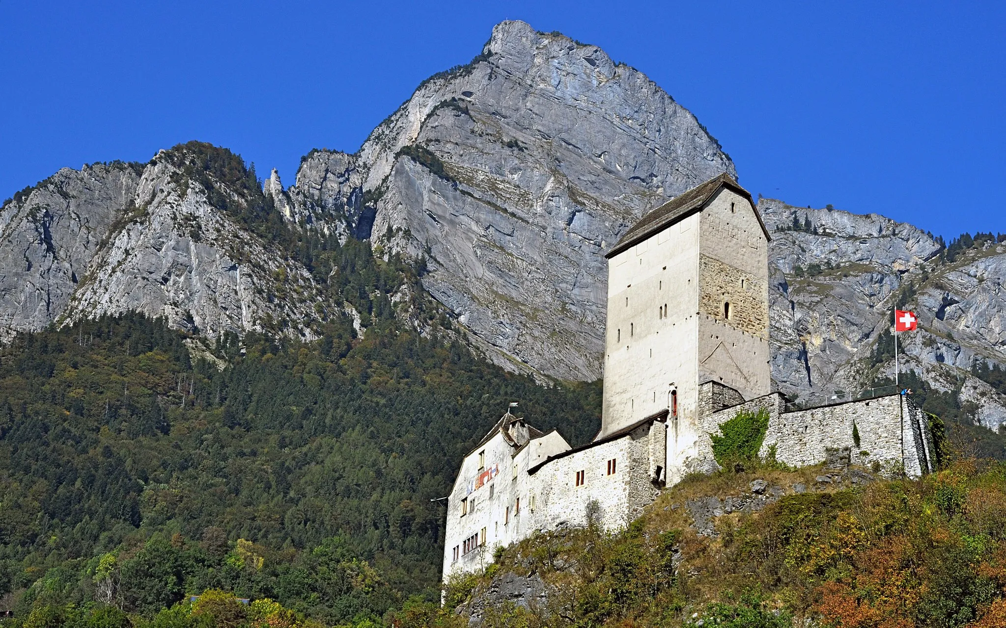
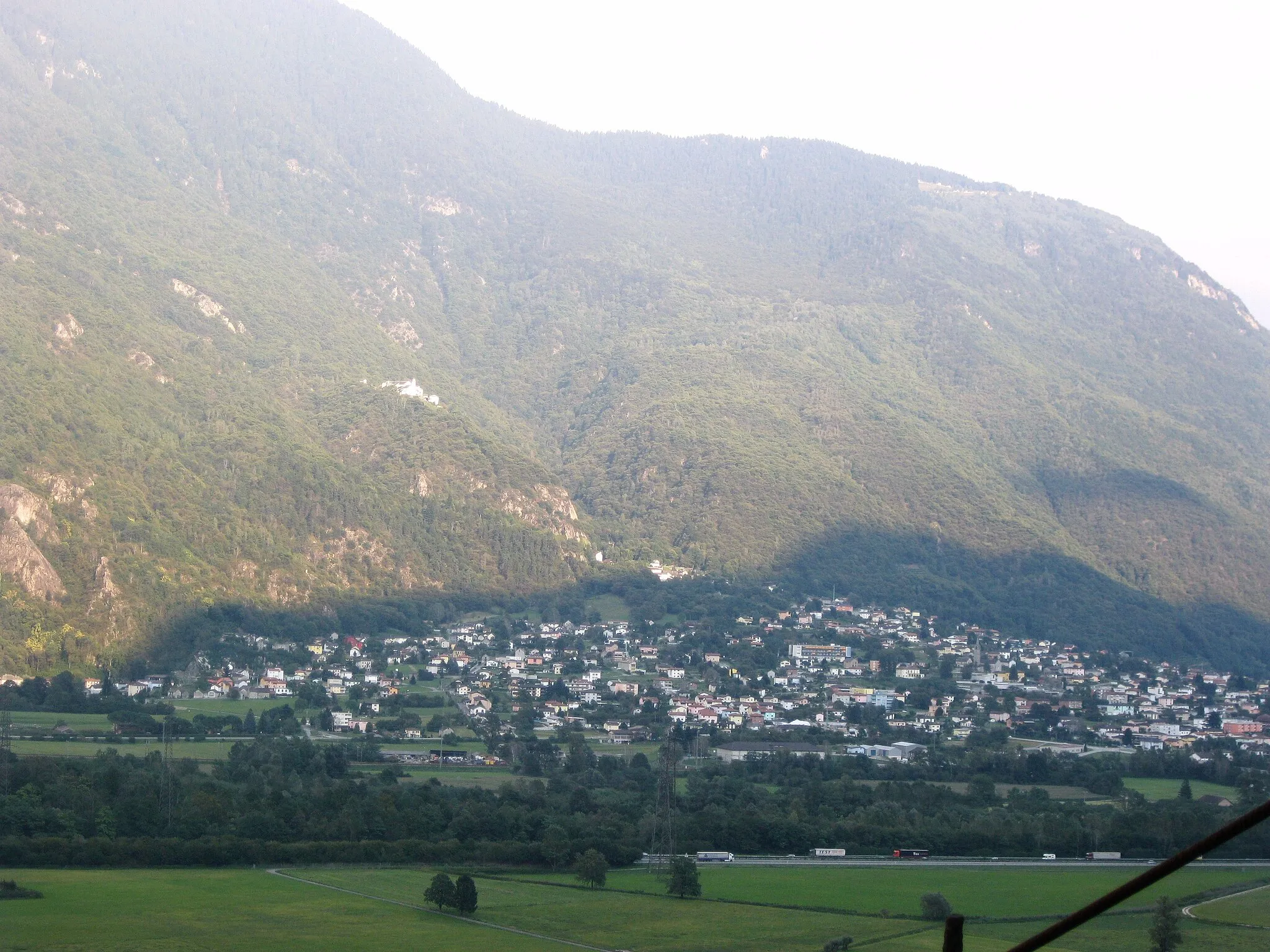
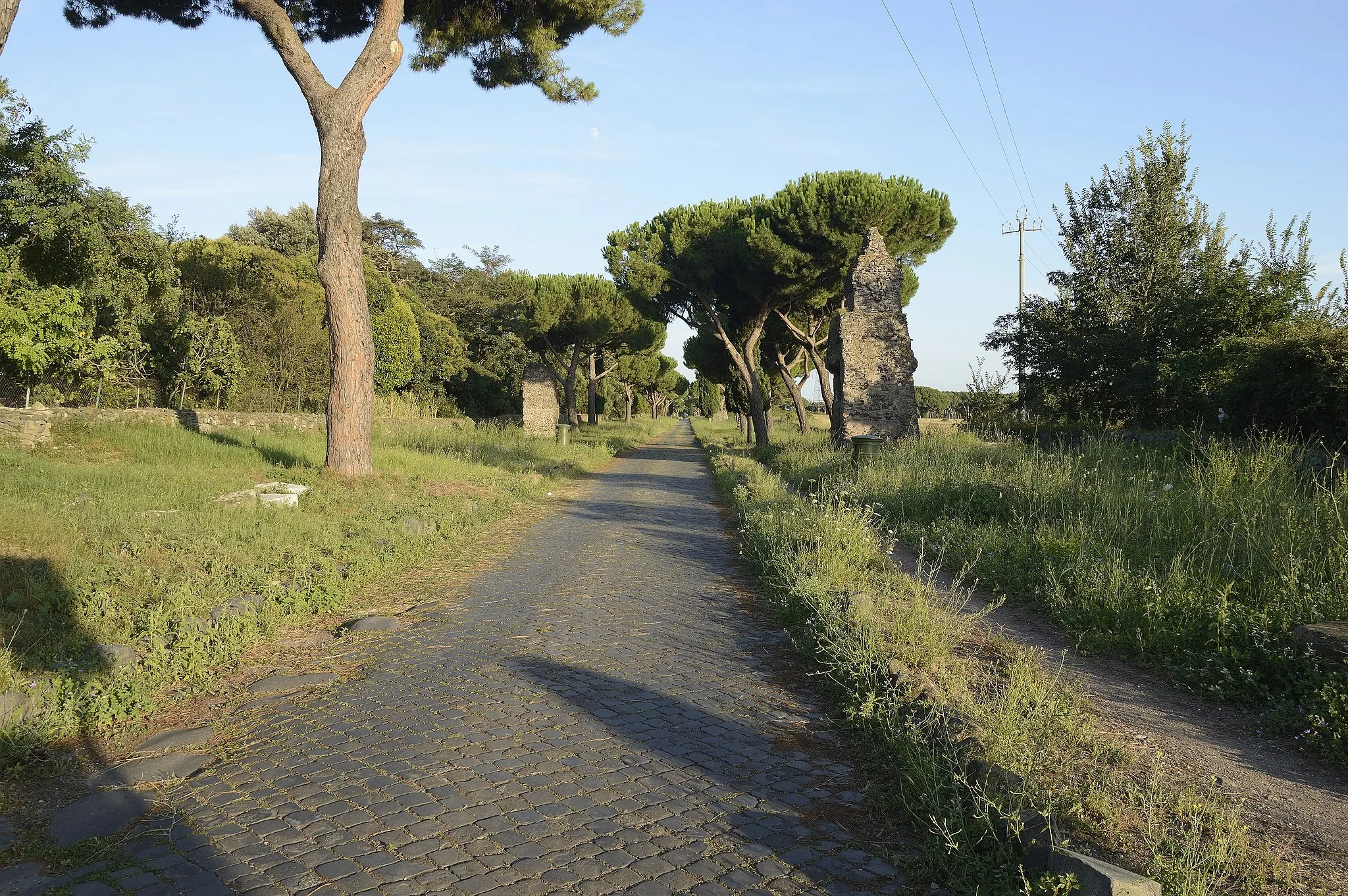
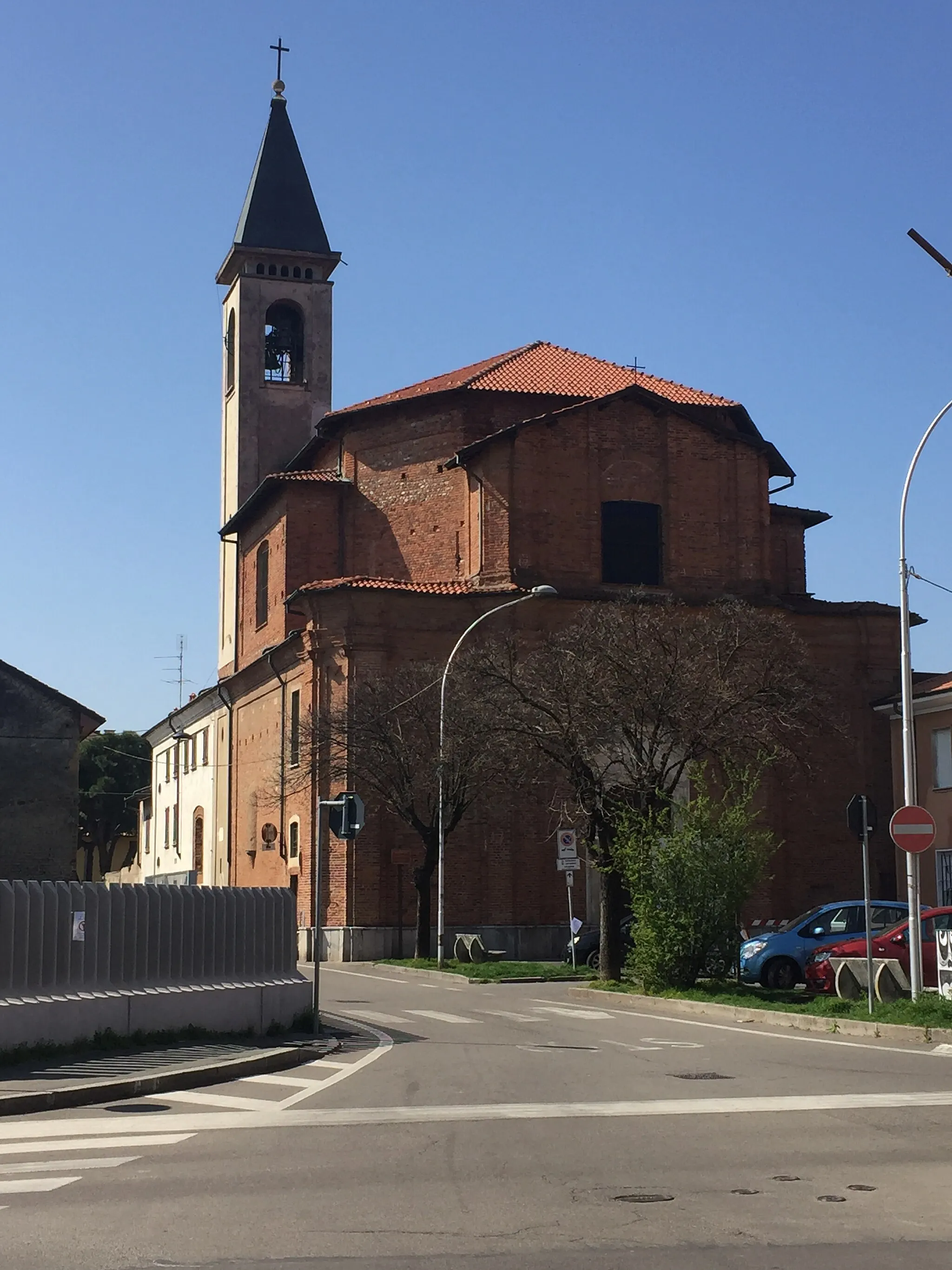
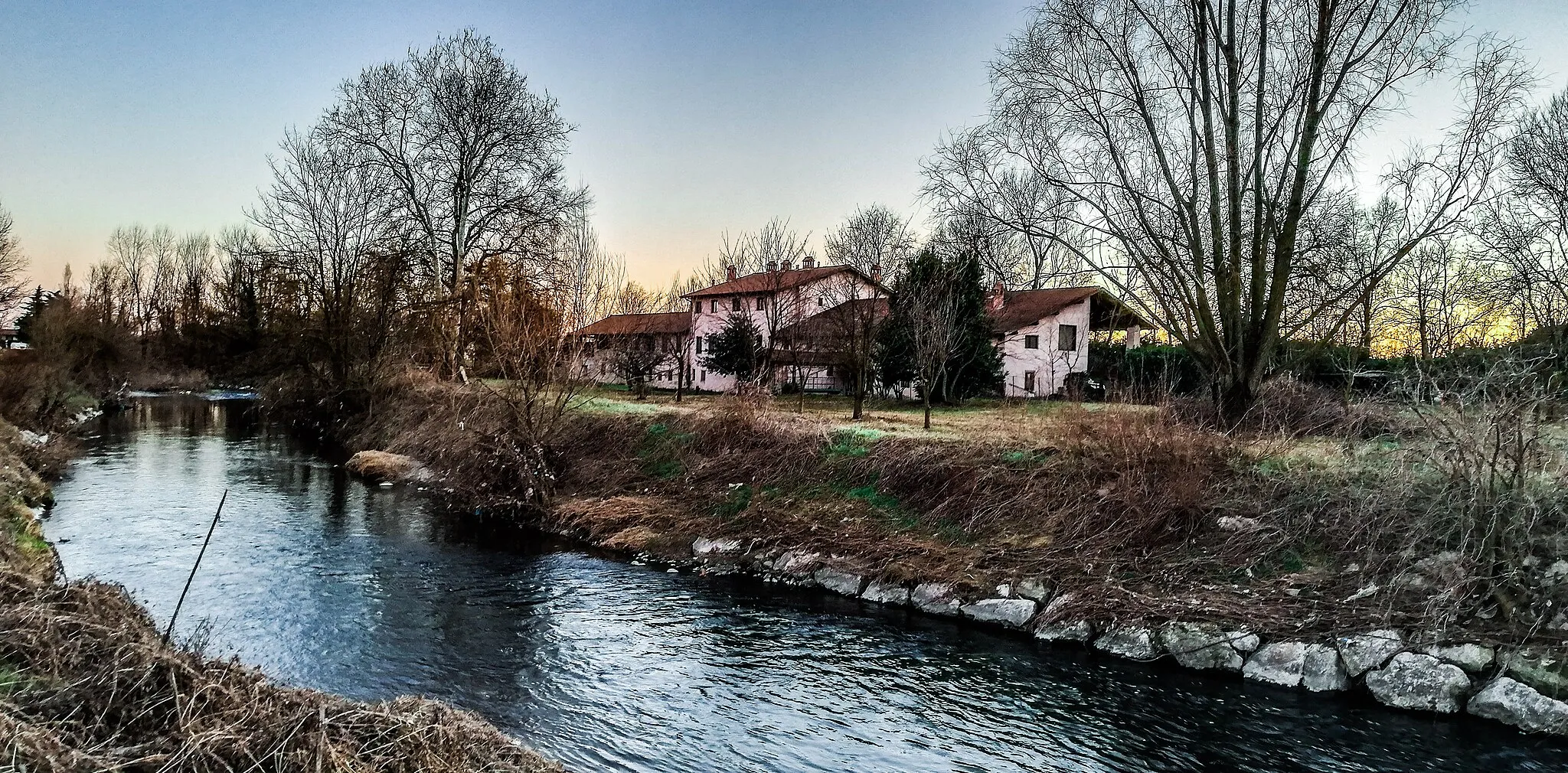
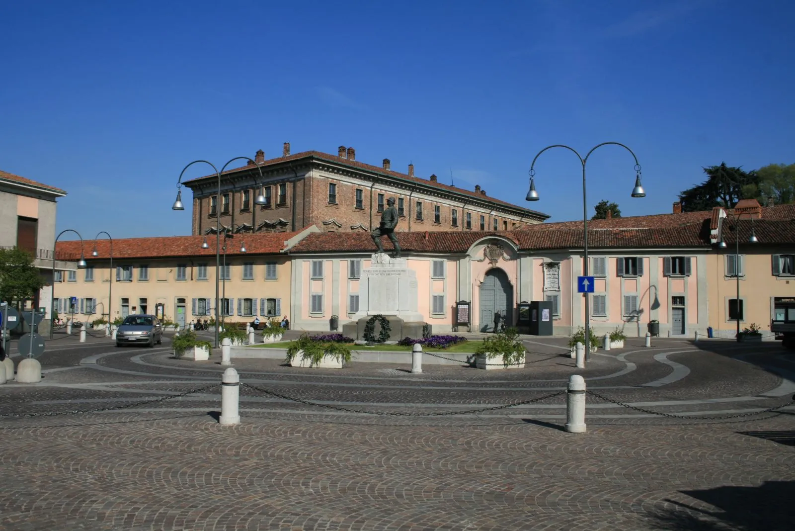
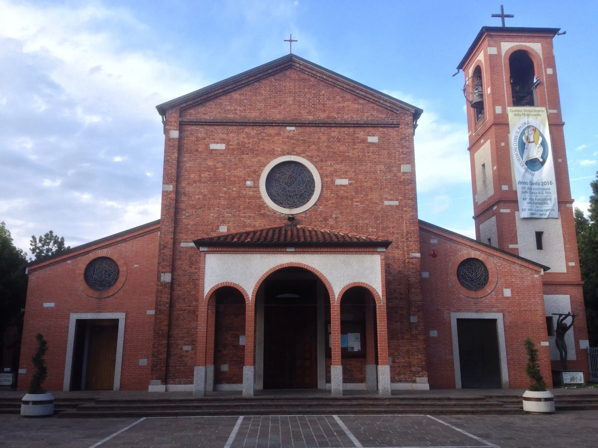
Cantalupo, located in Lombardia region of Italy, is a cyclist-friendly locality with beautiful scenery. The region offers diverse cycling routes, ranging from flat paths along the Ticino River to hillier routes near the Lombardian Alps. Cantalupo is a starting point for several cycling races and events, attracting avid cyclists throughout the year. Notable cycling spots nearby include the Lake Maggiore loop and the Val Grande National Park. With its stunning landscapes and cycling opportunities, Cantalupo is a great destination for cyclists of all levels.
Experience the gravel roads of Lombardia
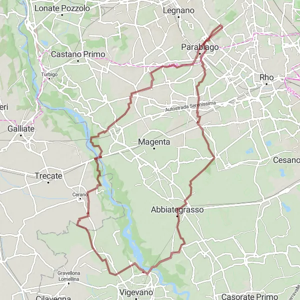
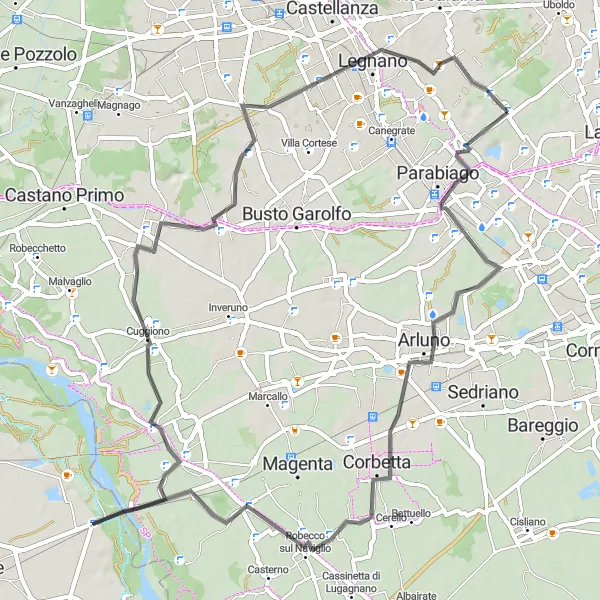
Discover the scenic beauty of Lombardia on this thrilling gravel adventure. With a moderate ascent of 174m and a distance of 87km, this route provides a great opportunity to explore the enchanting region of Cantalupo. The route is suitable for both road and gravel bikes, ensuring a diverse and exciting cycling experience. Immerse yourself in the charming towns and villages along the way, and enjoy the highlights that Lombardia has to offer. This route is rated with a difficulty level of 2 and an epicness level of 4.
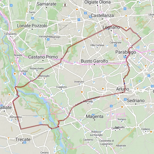
A charming road route starting from Cantalupo and leading to Busto Garolfo.
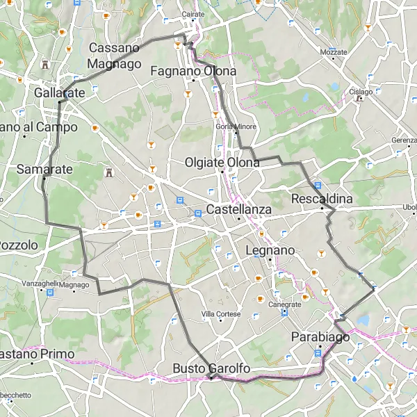
This 57 km road route from Cantalupo to Busto Garolfo offers scenic beauty all along the way. The route includes a moderate ascent of 162 meters. It is suitable for amateur cyclists looking for a peaceful ride through picturesque Lombardia countryside. You'll pass through Gorla Minore and Rescaldina before reaching Busto Garolfo.
Lombardia Discovery
Uncover the treasures of Lombardia on this adventurous cycling route.
Embark on a thrilling cycling adventure through Lombardia with the Lombardia Discovery route. Spanning 66 kilometers and featuring an ascent of 150 meters, this road cycling route provides a moderate challenge for cyclists. Along the way, you'll encounter notable highlights such as San Lorenzo, Poglianasca, Ponte Vecchio, Cuggiono, and Legnano. Prepare to be amazed by the diverse landscapes, historical landmarks, and vibrant culture of Lombardia.
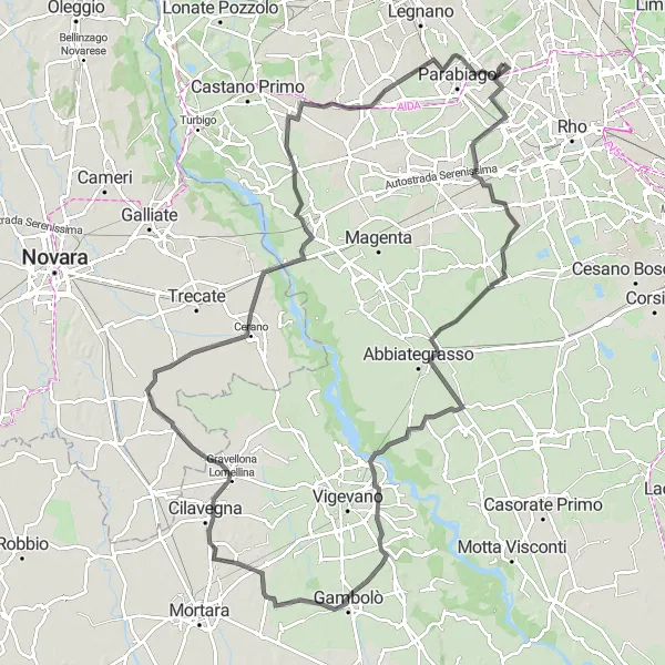
Embark on an exciting gravel cycling journey through Cantalupo to Sant'Ilario.
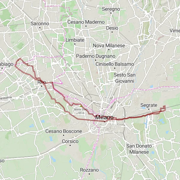
This 76 km gravel route from Cantalupo to Sant'Ilario is perfect for adventure-seeking cyclists. With a challenging ascent of 214 meters, the route takes you through picturesque landscapes and historic sites. Biringhello, Rooftop of Galleria Vittorio Emanuele II, and Monte Stella are some of the highlights along the way. The route also passes through the stunning Palazzo Serbelloni before reaching Sant'Ilario, where you can explore its charming streets and enjoy breathtaking views.
Take on the ultimate mountain challenge on this epic gravel route.
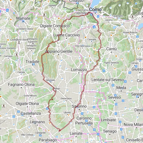
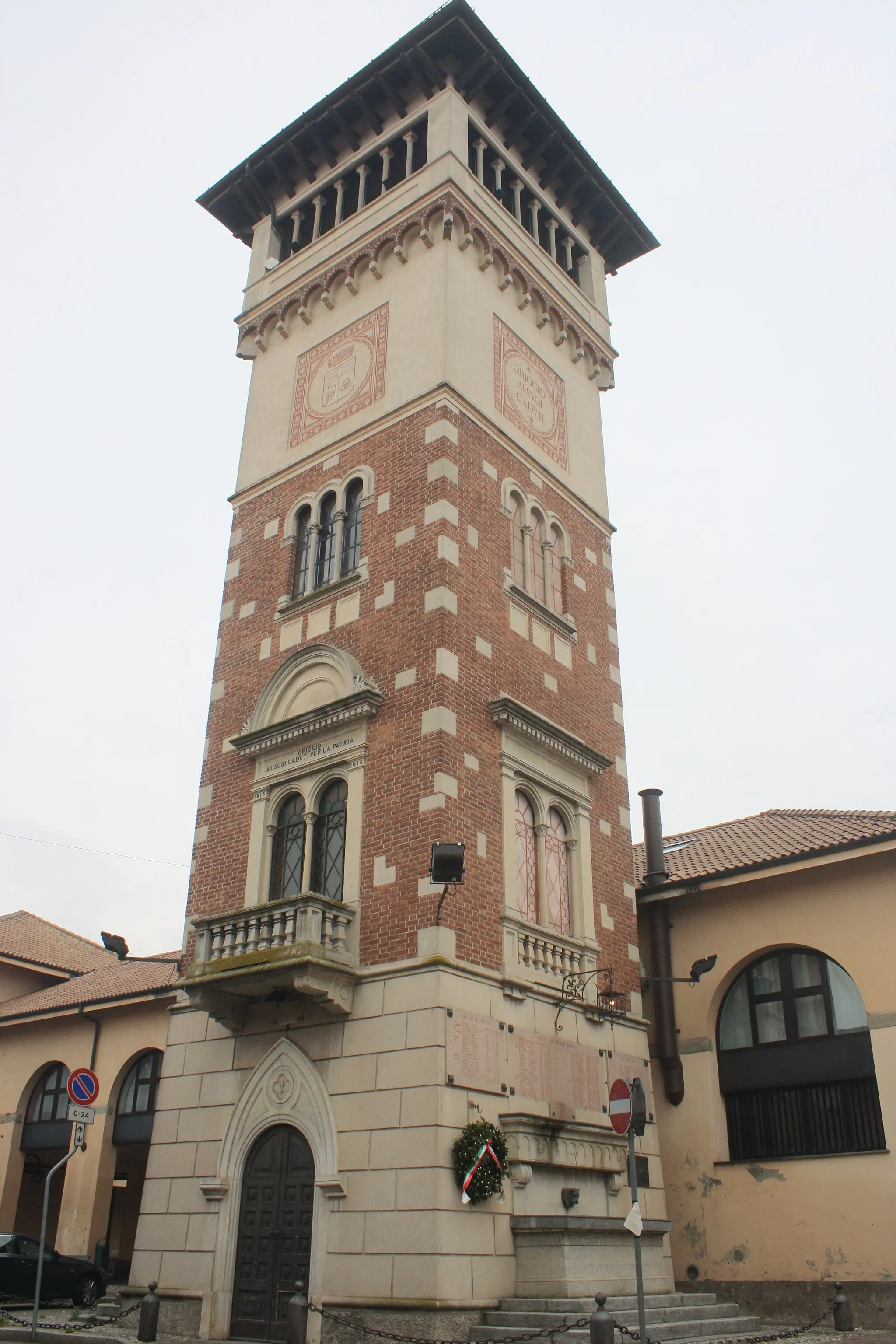
Prepare yourself for an unforgettable adventure with the Mountain Challenge. Covering a distance of 79 kilometers and featuring a challenging ascent of 753 meters, this gravel route is designed for experienced riders seeking thrill and excitement. Rescaldina, Oltrona di San Mamette, Monte Cucco, Cucciago, Bregnano, and Origgio are some of the highlights that await cyclists. Immerse yourself in the rugged beauty of the Lombardia mountains and feel the exhilaration of conquering steep terrains.
Cantalupo Loop
Embrace the beauty of Cantalupo on this scenic cycling route.
The Cantalupo Loop is a picturesque cycling route in Lombardia, Italy. With a total distance of 57 kilometers and an ascent of 218 meters, it offers a moderate challenge for cyclists. The route takes you through Canegrate, Bolladello, Torba, Gerenzano, and Sant'Ilario, showcasing the stunning landscapes and charming villages of the region. Whether you're a road cycling enthusiast or a gravel rider, this loop offers something for everyone.
A challenging road cycling route from Cantalupo to Sant'Ilario through various highlights on the way.
This 116 km road route from Cantalupo to Sant'Ilario is not for the faint-hearted. It includes a total ascent of 157 meters and passes through various charming towns and villages like Poglianasca, Cascina Scanna, and Cuggiono. The route also takes you through Busto Garolfo, where you can explore its historic center before continuing the journey. With its stunning scenery and challenging terrain, this route is perfect for experienced cyclists looking for a rewarding adventure.
Cantalupo Gravel Adventure
An adventurous gravel route from Cantalupo to Cerro Maggiore.
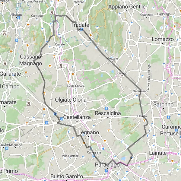
This 66 km gravel route from Cantalupo to Cerro Maggiore is perfect for those seeking an off-road adventure. With a total ascent of 160 meters, the route takes you through scenic countryside and charming villages. Villastanza, Boffalora sopra Ticino, and Romentino are some of the highlights along the way. The gravel roads offer a challenging yet thrilling experience for gravel enthusiasts.
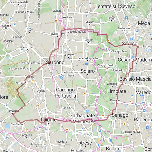
Embark on an exhilarating gravel adventure through Cantalupo's countryside.
Escape the beaten path and immerse yourself in nature with the Gravel Adventure. This 45-kilometer-long route offers a thrilling off-road experience for gravel enthusiasts. With a gentle ascent of 134 meters, it is suitable for riders of varying skill levels. Uboldo, Seveso, Limbiate, and Garbagnate Milanese are some of the highlights along the way, showcasing the rustic charm and natural beauty of Cantalupo.
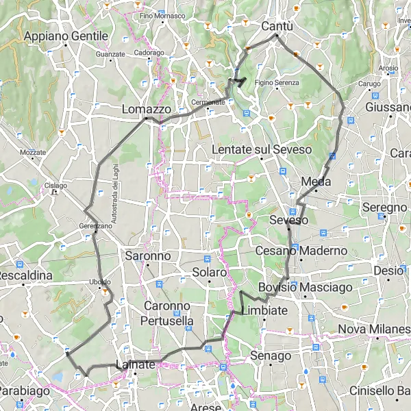
A challenging road cycling route offering panoramic views from Cantalupo to Lainate.
This 65 km road route from Cantalupo to Lainate is perfect for cyclists looking for a challenging ride with stunning views. With a total ascent of 360 meters, the route takes you through Gerenzano, Bregnano, and Seveso before reaching Lainate. The picturesque countryside and charming towns along the way make this route a memorable experience. However, be prepared for some steep climbs and rolling hills.
Cycling routes nearby:

Nearby regions: