Scenic routes and challenging climbs
Cycling routes from Sant'Omobono Terme
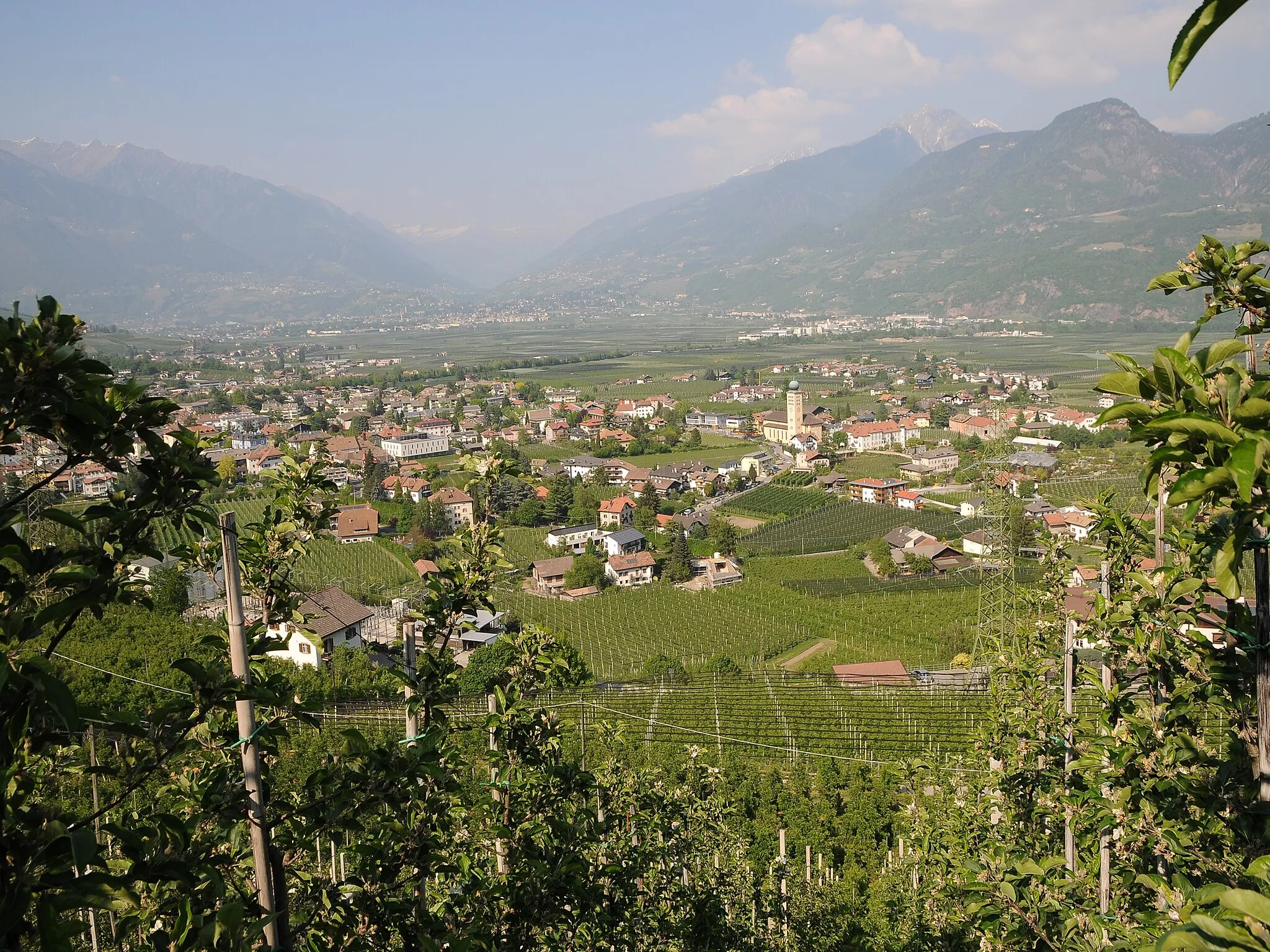
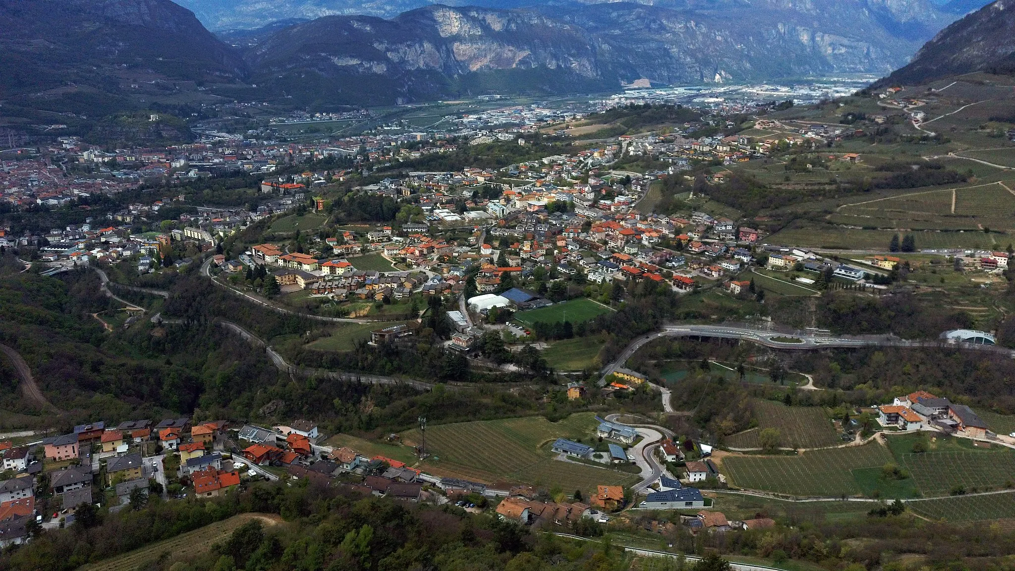
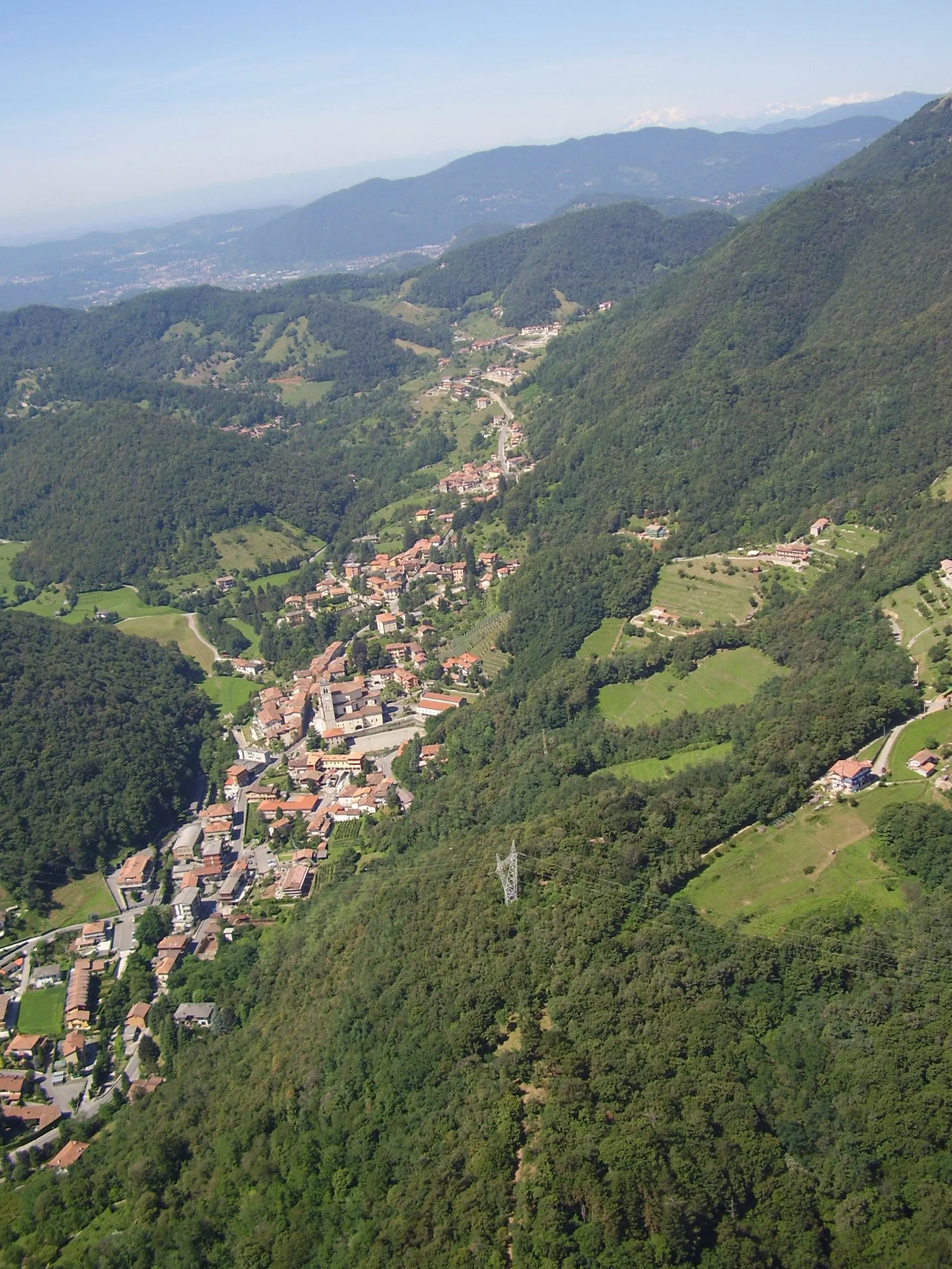
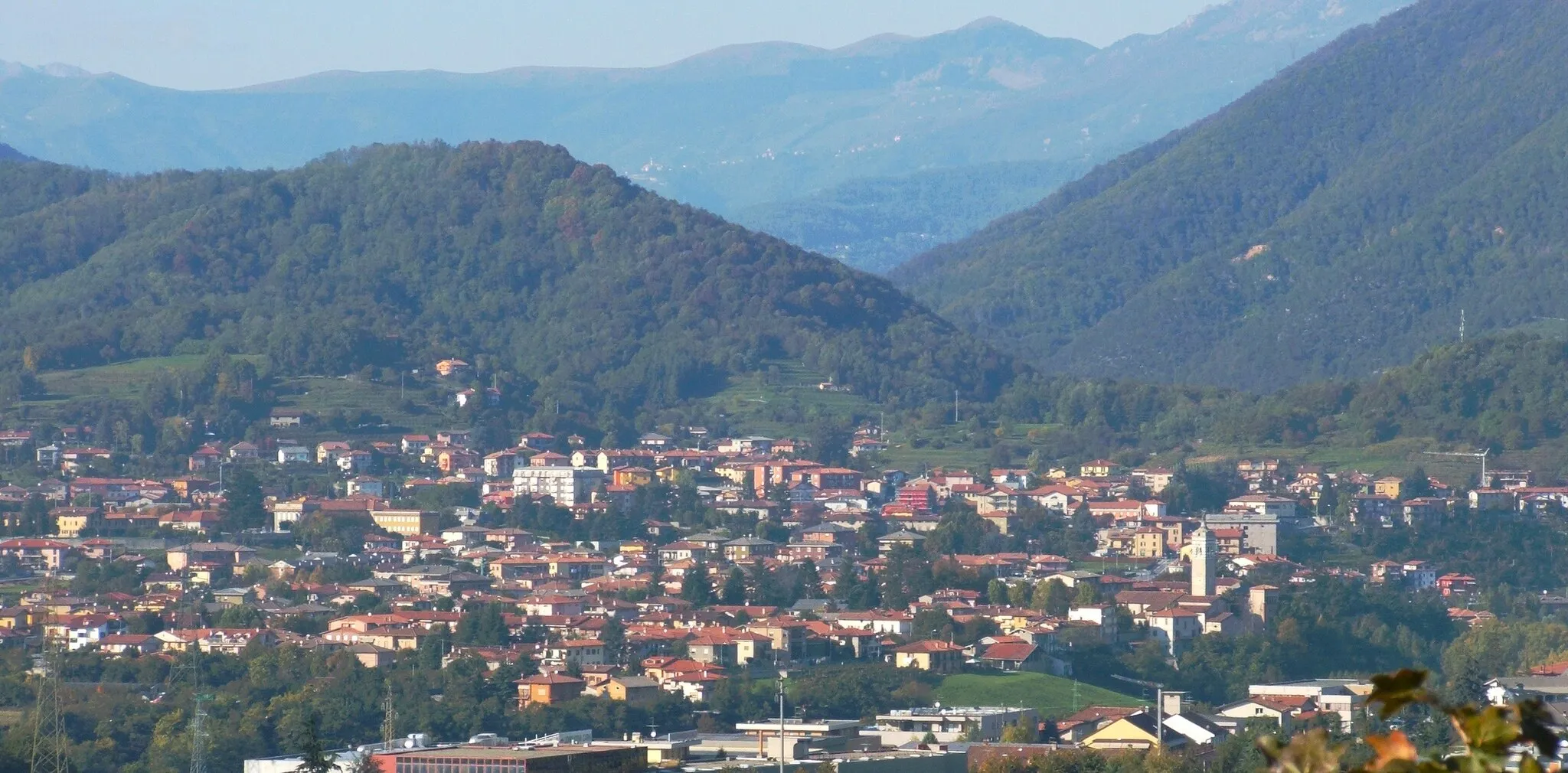
Sant'Omobono Terme is a locality located in Lombardia, Italy. As a cyclist, you'll enjoy the scenic routes that wind through the beautiful countryside surrounding Sant'Omobono Terme. The region offers a mix of flat stretches and gentle slopes, making it suitable for riders of all levels. The town is also close to the famous climb of Passo del Tonale, known for its challenging gradients and stunning vistas. With its scenic beauty and access to iconic climbs, Sant'Omobono Terme is a fantastic destination for road and gravel cyclists.
Experience the thrill of climbing with breathtaking views
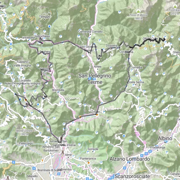
This route offers a challenging climb with a total ascent of 4707 meters over a distance of 121 kilometers. The highlight of the route is the famous Forcella di Bura, a challenging climb known for its stunning views. Other highlights along the route include Berbenno, Colle San Pietro, and Dossena. The difficulty level of this route is 5, reserved for extremely hard routes, and the epicness rating is 4.
The Scenic Route

Experience the beauty of the Lombardia countryside on this picturesque road route
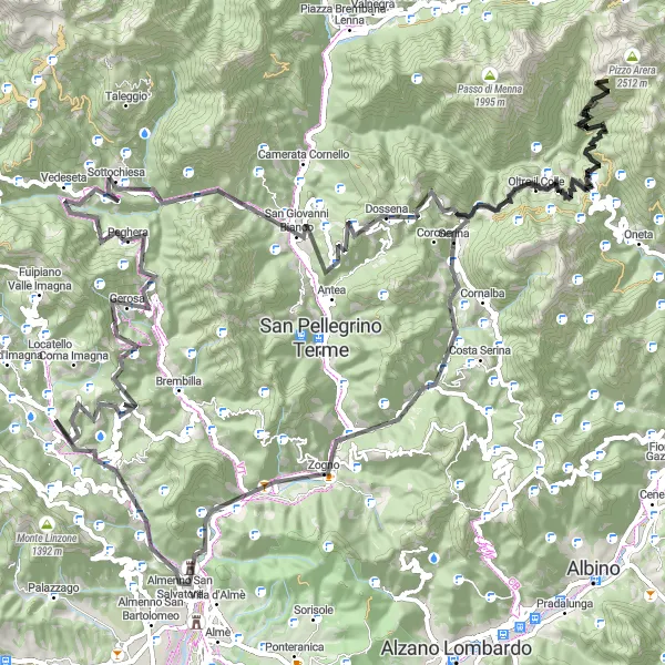
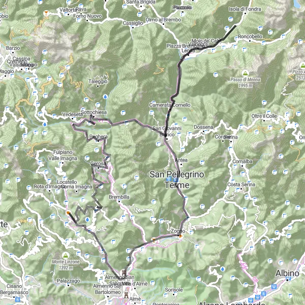
This road route offers a picturesque journey through the Lombardia countryside, with a total ascent of 2350 meters over a distance of 83 kilometers. Highlights along the route include Colle San Pietro, a popular climb among cyclists, and San Pellegrino Terme, a charming town known for its historic thermal springs. The difficulty level of this route is 3, suitable for intermediate-level cyclists, and the epicness rating is 3.
The Hillside Ride
Experience the beauty of the Lombardia countryside on this scenic road route
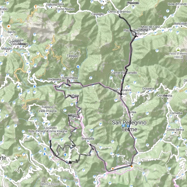
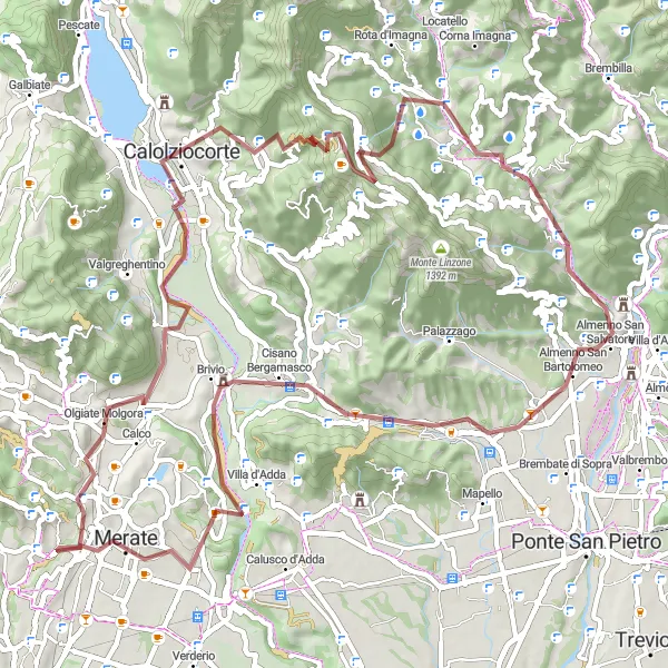
This road route takes you on a scenic journey through the beautiful Lombardia countryside, with a total ascent of 2704 meters over a distance of 98 kilometers. Highlights along the route include Sant'Omobono Terme, the starting point of your ride, and Vedeseta, a charming town known for its historic charm. The difficulty level of this route is 3, suitable for intermediate-level cyclists, and the epicness rating is 3.
Scenic gravel ride through the Lombardy countryside
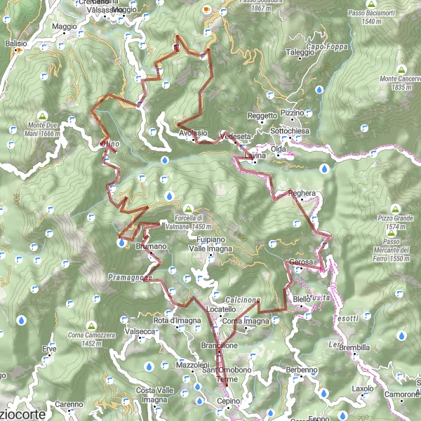
The Locatello Loop is a gravel adventure that takes you on a 62-kilometer journey through the scenic Lombardy countryside. With a total ascent of 2,801 meters, this route is perfect for gravel enthusiasts looking for a challenging ride. Highlights along the route include Locatello, a picturesque village with narrow streets and charming architecture, and Vedeseta, known for its beautiful landscapes and picturesque atmosphere. The difficulty level of this route is rated as a 3 out of 5, making it suitable for moderately experienced riders. The epicness of the route is rated as a 2 out of 5, with several gravel sections and stunning views along the way. The highlights on this route are rated based on their attractiveness and significance. Locatello receives a score of 4 due to its scenic beauty and historic charm.
The Tour of Sant'Omobono Terme
Challenging road ride through scenic Lombardy
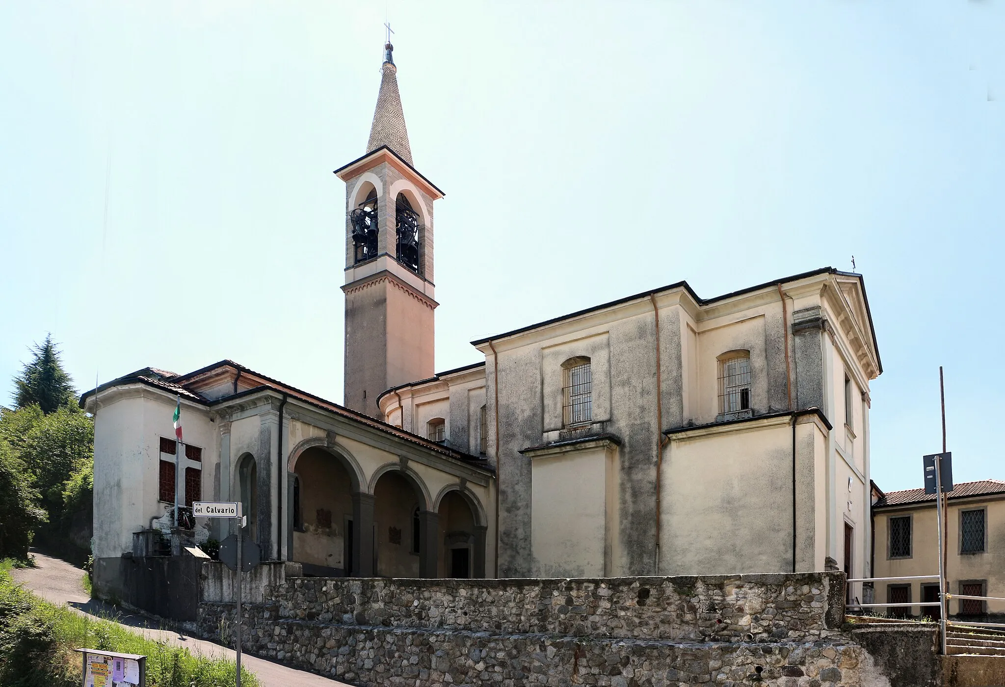
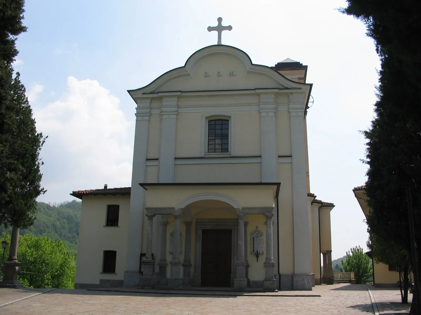
The Tour of Sant'Omobono Terme is a challenging road cycling route that takes you through the beautiful Lombardy region of Italy. With a total ascent of 3,301 meters and a distance of 104 kilometers, this route is perfect for experienced riders looking for a new challenge. Highlights along the route include Sant'Omobono Terme, known for its thermal baths, the panoramic views from Panorama, and the medieval tower in Torre de' Busi. The difficulty level of this route is rated as a 4 out of 5, making it suitable for well-trained amateurs. The epicness of the route is rated as a 3 out of 5, with several challenging climbs and beautiful scenery along the way. The highlights on this route are rated based on their attractiveness and significance. Sant'Omobono Terme receives a score of 5 due to its unique thermal baths and historical charm.
The Gravel Adventure
Explore the off-road beauty of Lombardia with this thrilling gravel route
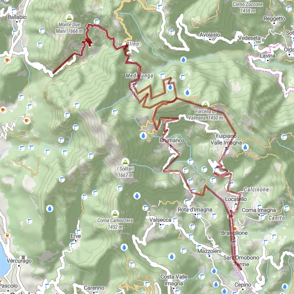
This gravel route offers a challenging adventure with a total ascent of 2636 meters over a distance of 56 kilometers. Highlights along the route include Fuipiano Valle Imagna, a picturesque village with stunning mountain views, and Monte Due Mani, a challenging climb with breathtaking panoramic vistas. The difficulty level of this route is 4, suitable for well-trained amateurs, and the epicness rating is 3.
An enjoyable road ride through the picturesque landscapes of Bergamo
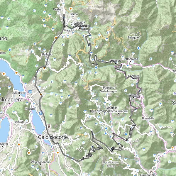
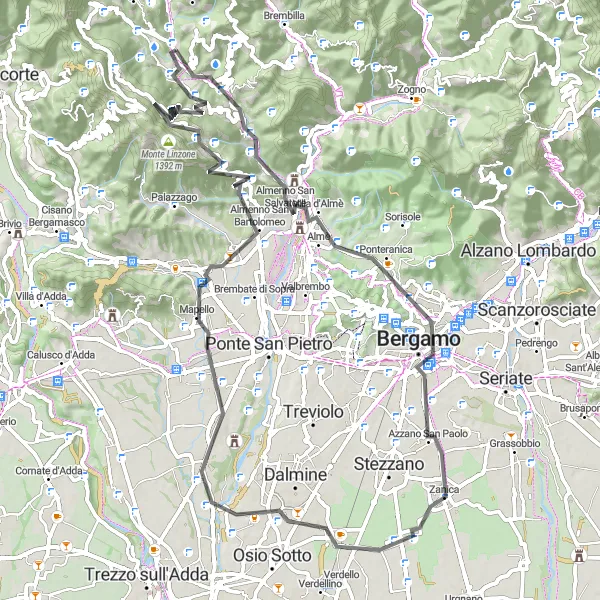
Discover the beauty of Bergamo with this 79-kilometer road cycling route. With a total ascent of 1,119 meters, this route offers a leisurely ride through picturesque landscapes. Highlights along the route include the charming Collina di Vigna, known for its sweeping views over the surrounding countryside, and the historic town of Almenno San Salvatore, famous for its medieval architecture. The difficulty level of this route is rated as a 2 out of 5, making it suitable for all riders. The epicness of the route is rated as a 2 out of 5, with several scenic spots along the way. The highlights on this route are rated based on their attractiveness and significance. Collina di Vigna receives a score of 3 due to its panoramic views and tranquil atmosphere.
Conquer the Lombardia mountains on this epic road route
This road route offers a challenging mountain adventure, with a total ascent of 2760 meters over a distance of 95 kilometers. Highlights along the route include Colle San Pietro, a famous climb among cyclists, and Valnegra, a picturesque village nestled in the mountains. The difficulty level of this route is 4, suitable for well-trained amateurs, and the epicness rating is 4.
An adventurous gravel ride through the Bergamo hills
Embark on an adventurous gravel ride through the picturesque Bergamo hills with this 72-kilometer route. With a total ascent of 1,572 meters, this route offers a moderate challenge for gravel riders. Highlights along the route include the charming village of Bedulita, known for its historic center and traditional architecture, and Airuno, a small town with stunning views over the surrounding area. The difficulty level of this route is rated as a 2 out of 5, making it suitable for intermediate gravel riders. The epicness of the route is rated as a 3 out of 5, with several gravel sections and scenic spots along the way. The highlights on this route are rated based on their attractiveness and significance. Bedulita receives a score of 4 due to its quaint charm and historic importance.
A thrilling ride through the picturesque hills of Sant'Omobono Terme
The Serpentine Hills cycling route takes you through the scenic landscapes of Sant'Omobono Terme in Lombardia, Italy. With a total distance of 109 kilometers and an elevation gain of 3,573 meters, this challenging road cycling route is perfect for experienced riders. Throughout the route, you will be treated to breathtaking views, charming villages, and cultural highlights that make this ride truly special.
Cycling routes nearby:


Nearby regions: